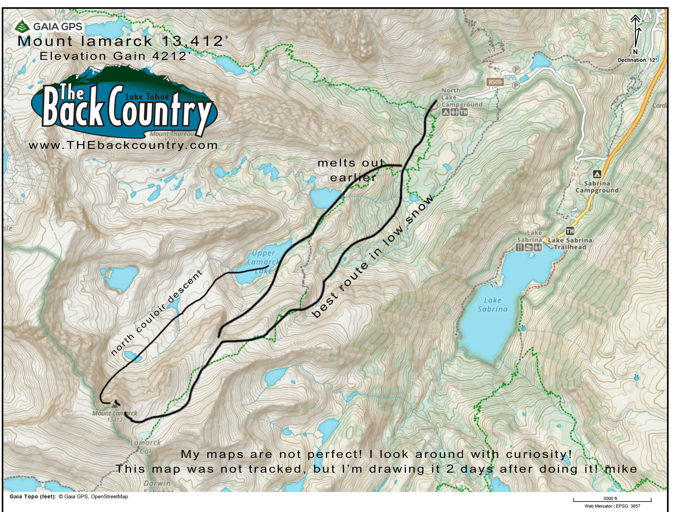
Location: North lake Trailhead 9400′
Elevation: 13,412′
Elevation Change: 4012′
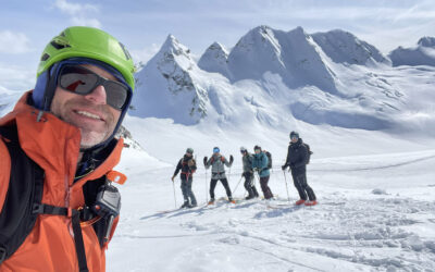
This is a new post after skiing Mount Lamarck again on April 26, 2026. Previously I described a descent of the north couloir on the way back from Mt. Darwin. Check out that post too. We slept at Lamarck Col for that one so we could see the condition of Darwin, and found it pretty easy to get both done. with one night out. I couldn’t do both in a day but these new kids seem to like skiing in the dark and suffering more, so go for it!
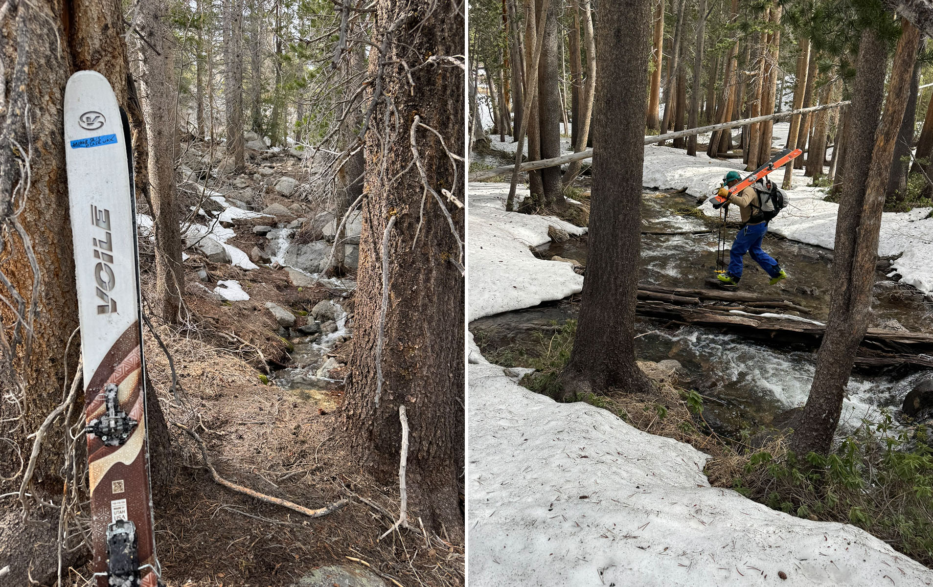
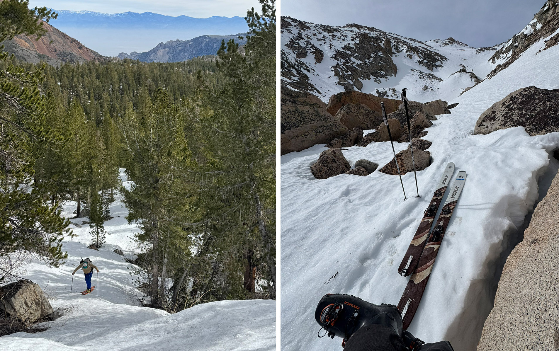
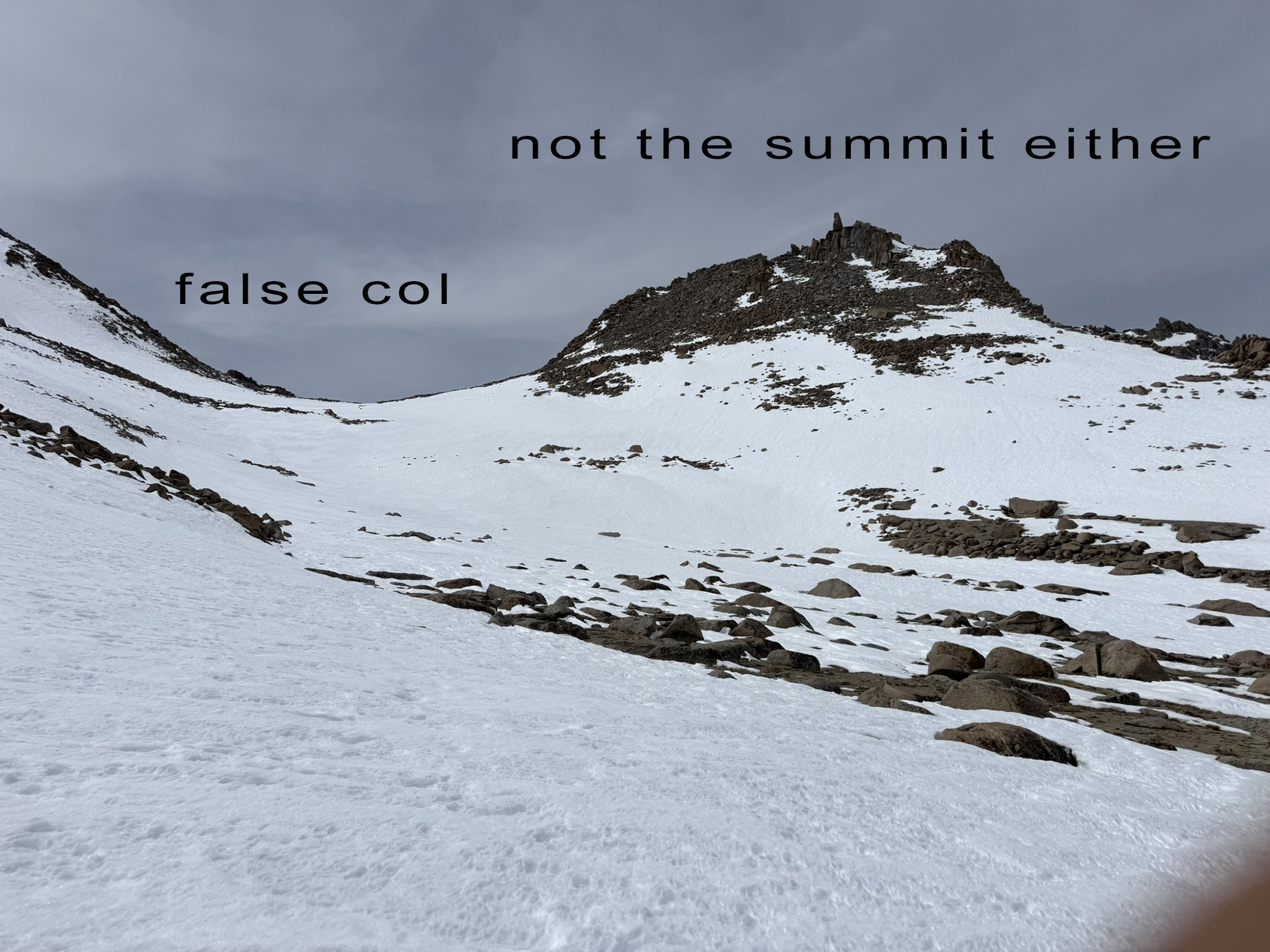
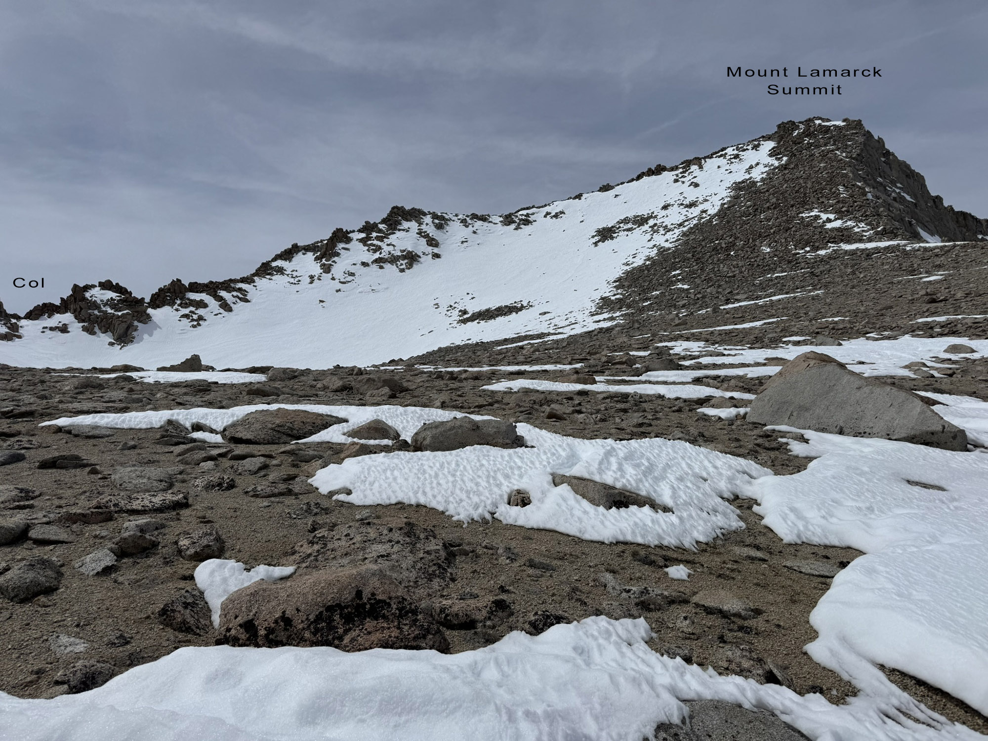
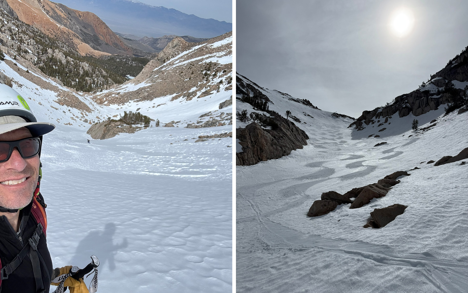
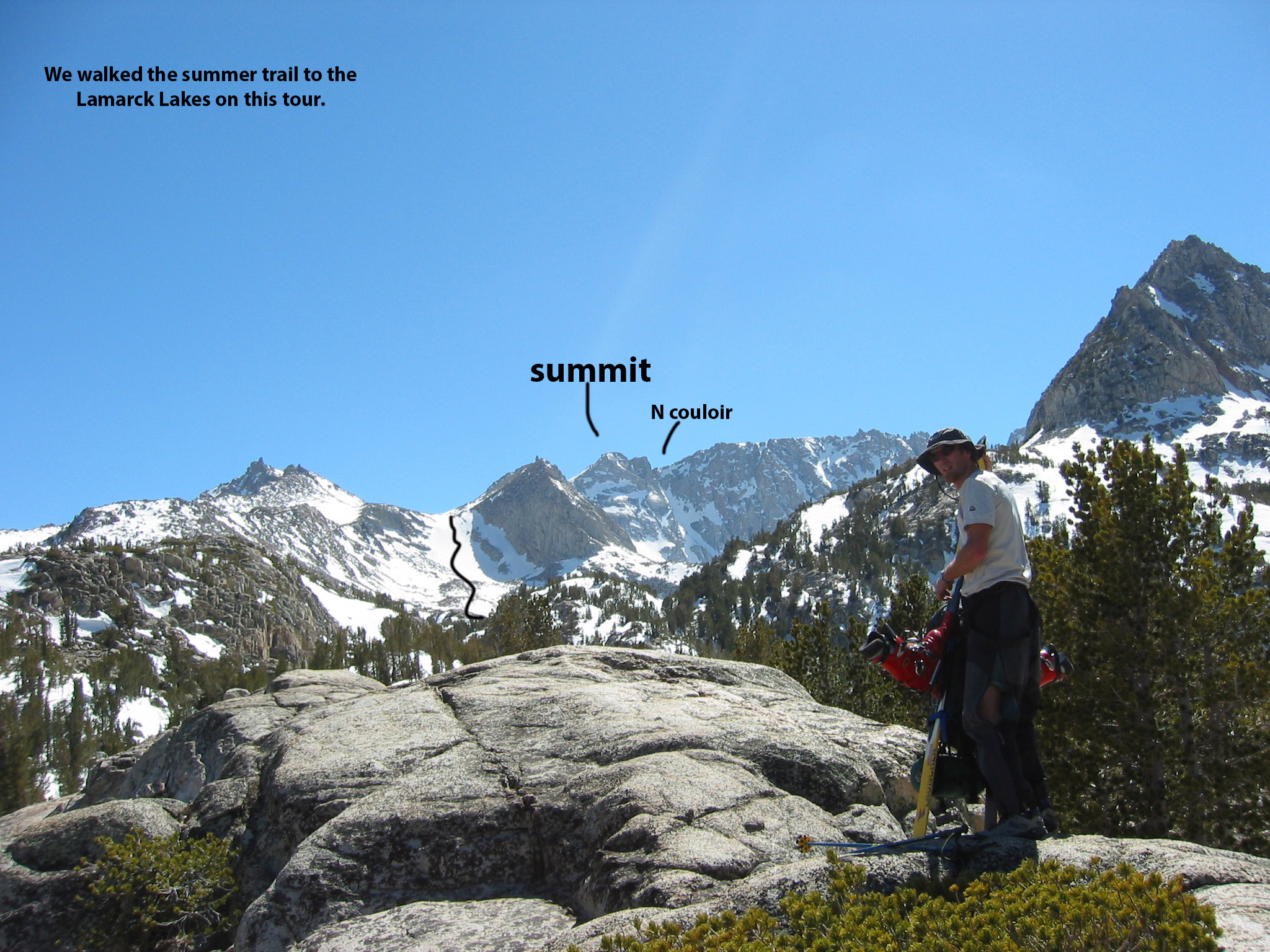
This i s really a cool peak. I didn’t give it much credit until repeating it last week. And I didn’t even ski the impressive north Couloir this time. Skiing from very near the summit, you get a super long cruiser all the way to the car, with just a little flat terrain walking/skinning down pretty low. You’ll be tired though, I haven’t seen anyone breathe easy above 12k and certainly above 13k. Plus navigating through the forest is fun but mentally challenging. Today I use Gaia on my phone to know where I am. It’s amazing. Just remember to download the terrain data while you still have cell signal. There is no cell for miles within the trailhead. I find it pretty funny how during the pre-phone mapping software era, we would guess where the summits were. This particular peak has a huge summit plateau and you could waste a lot of time guessing where the top is and where the north couloir is.
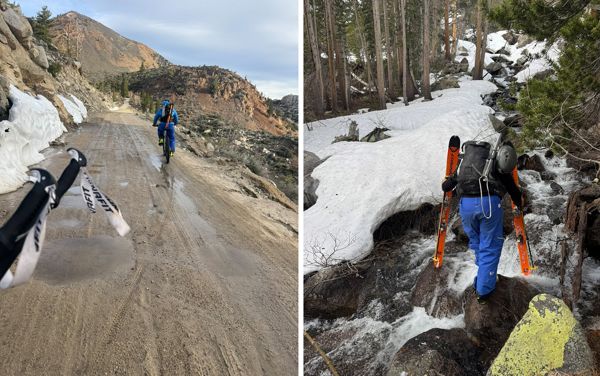
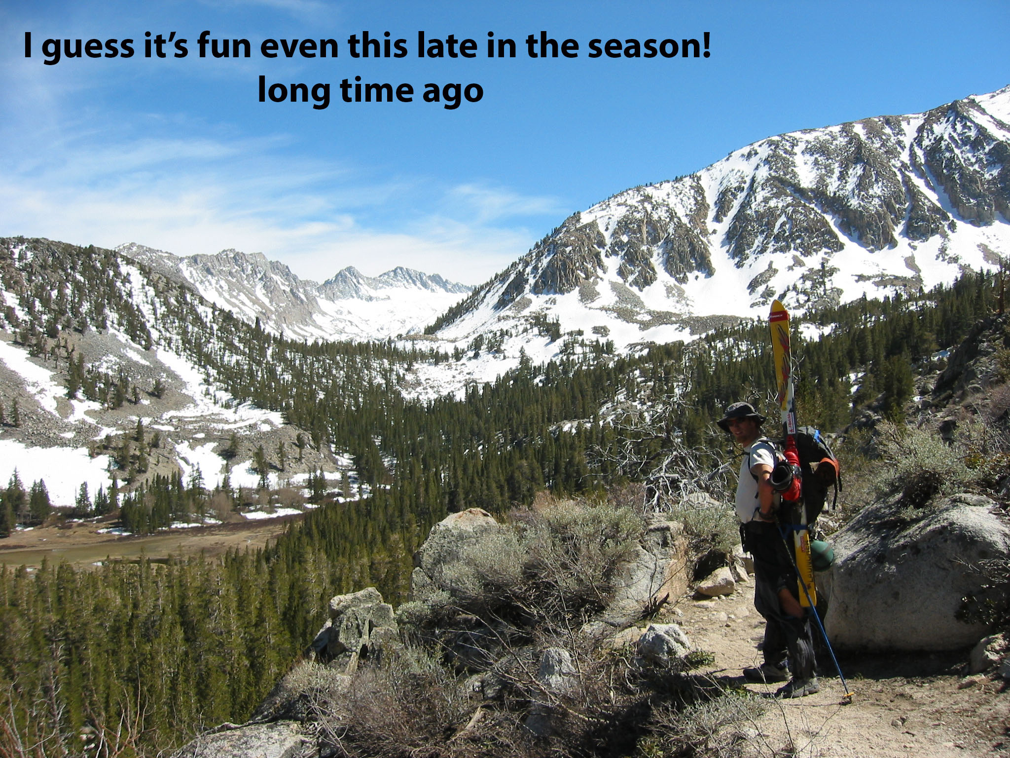
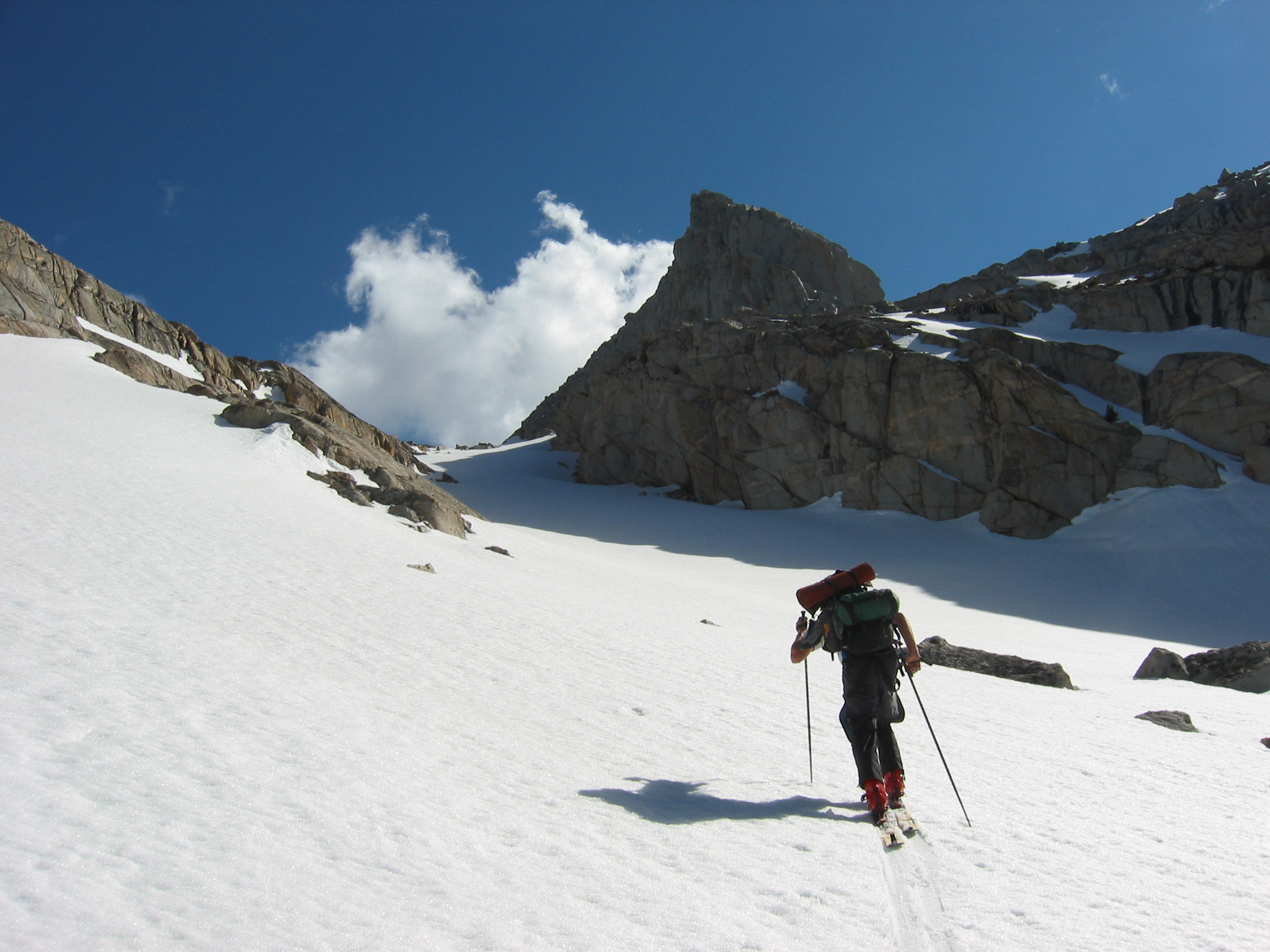
To get to North lake Trailhead you would ideally ride an e-bike 2 miles and 1000′ on a graded dirt road from the closure at Aspendell. This turnoff for North Lake is about 1 mile past the winter gate closure which is signed for Lake Sabrina and North Lake. In my old pictures also included here, we waited until the north lake road was opened. You can see how we had to walk in trail shoes to get to the snowline, but in a big snow year it’s still worth it. I’ve walked the full 3 miles up there too from the Aspendell gate in ski boots. That sucked. But it got us into an overnight tour and seemed worthy due to the length of our ski week. And you could skin from the town of Aspendale mid winter of course. Riding e-bikes to trailheads is pretty popular now to get around the gate closures. You take your chances with snow on the roads, push through a few snow banks, and change over to skinning when you can. This was my first time doing it. Travelling with bikes is annoying I’ll admit if you don’t use them.
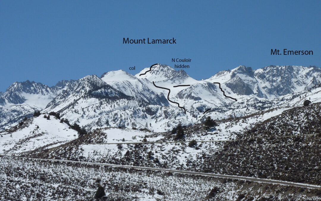
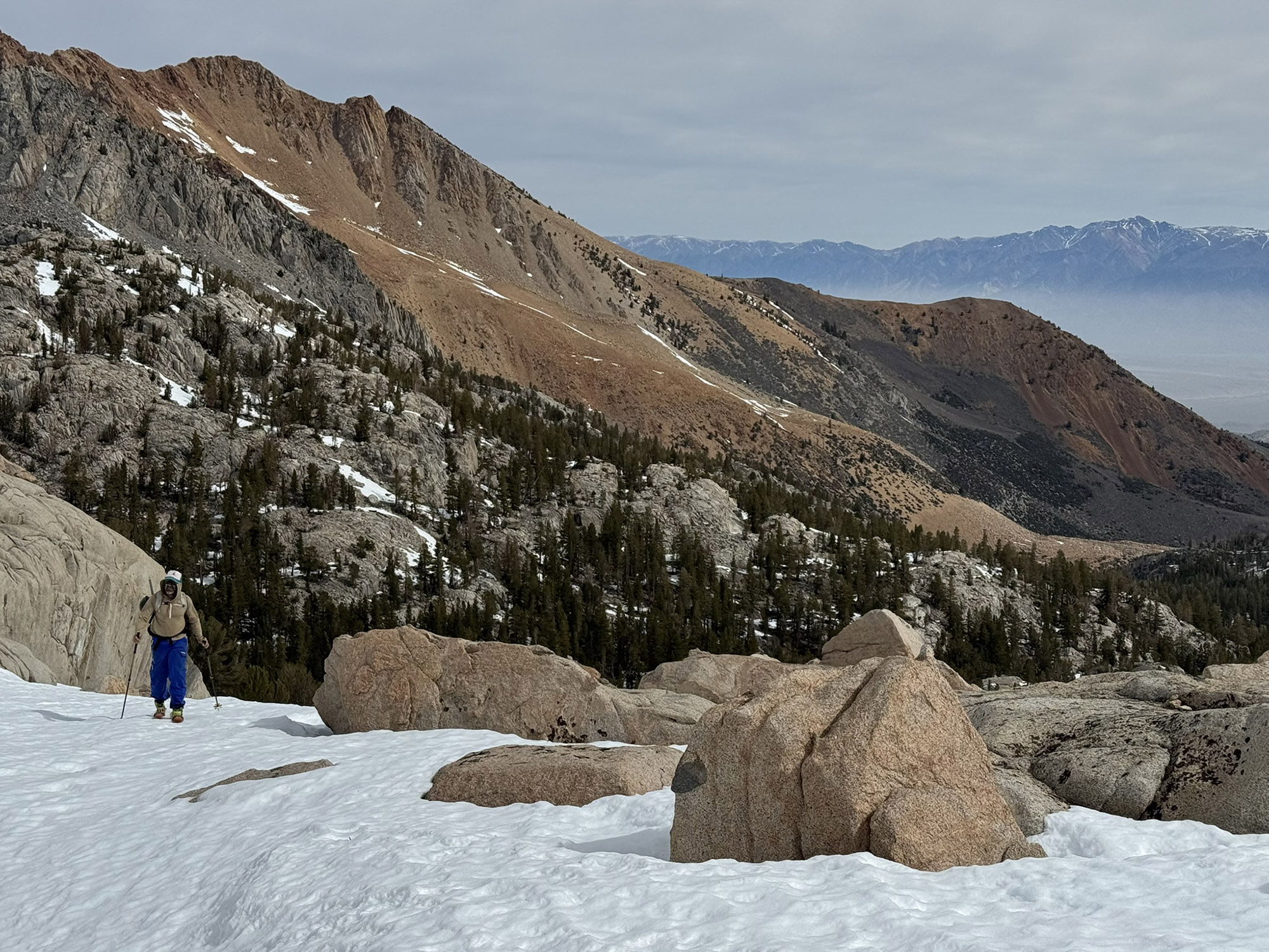
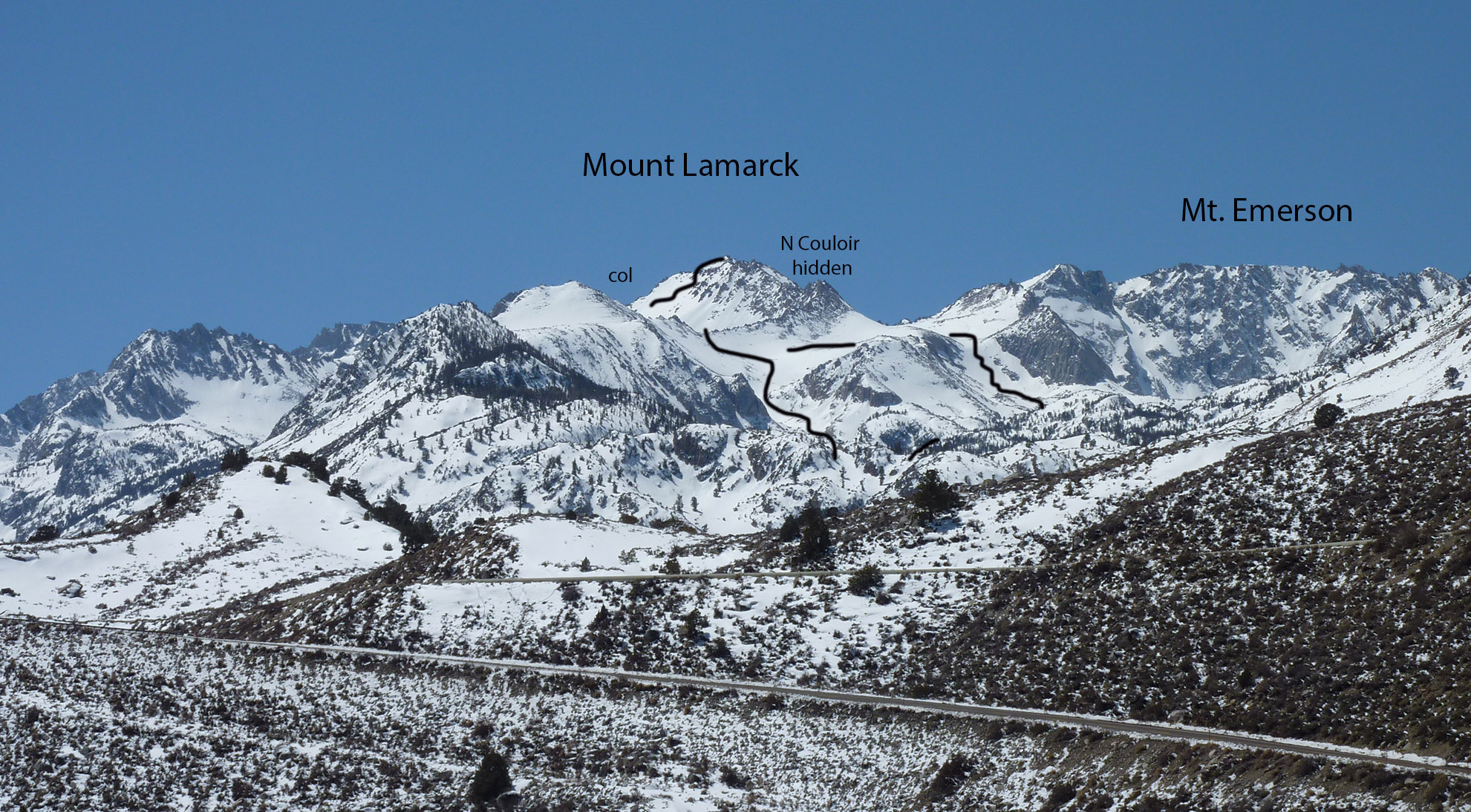
Mount Lamarck is really cool in one respect that it really stands out on the horizon from many places, especially from highway 395. It’s a sleeper goal however because you don’t see a sick couloir or jagged spire summit shape. And there is the timing of the north lake gate usually being the last High Sierra gate opening. On a side note, I LOVE camping here when the leaves change color in the fall. There are two summer trails that are breathtaking and can be looped in a variety of lengths.
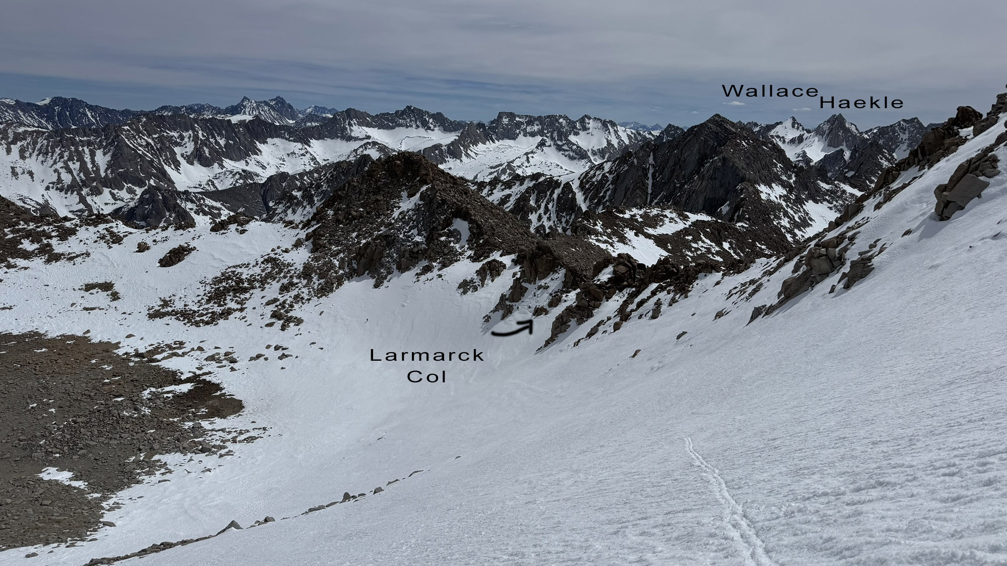
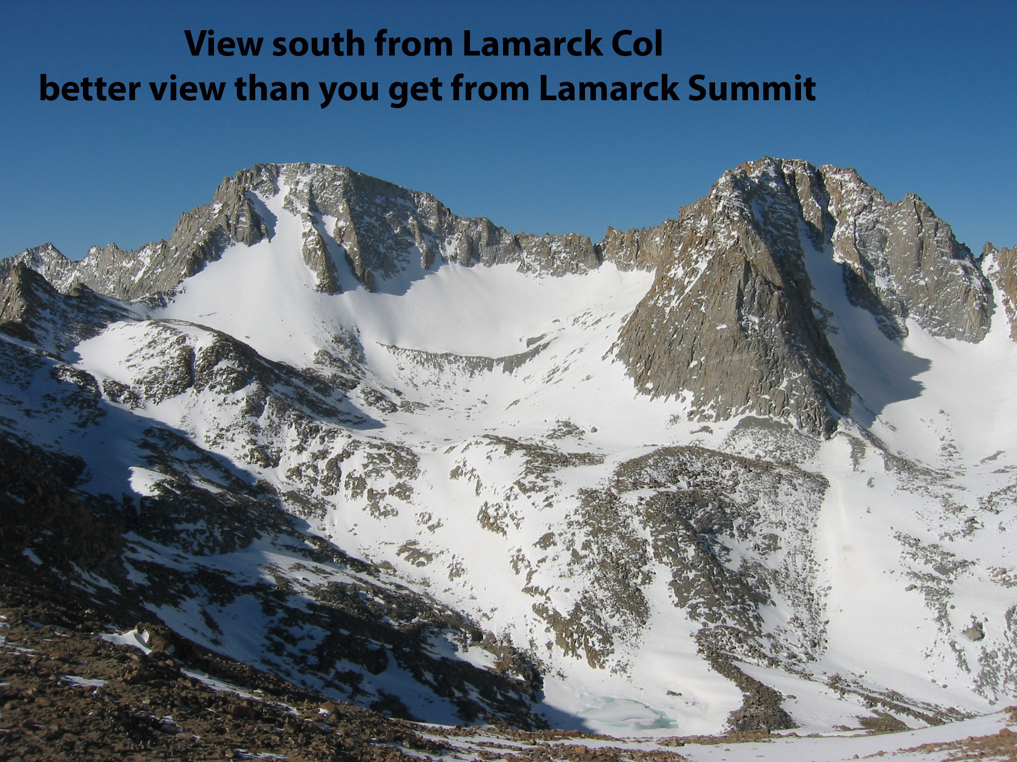
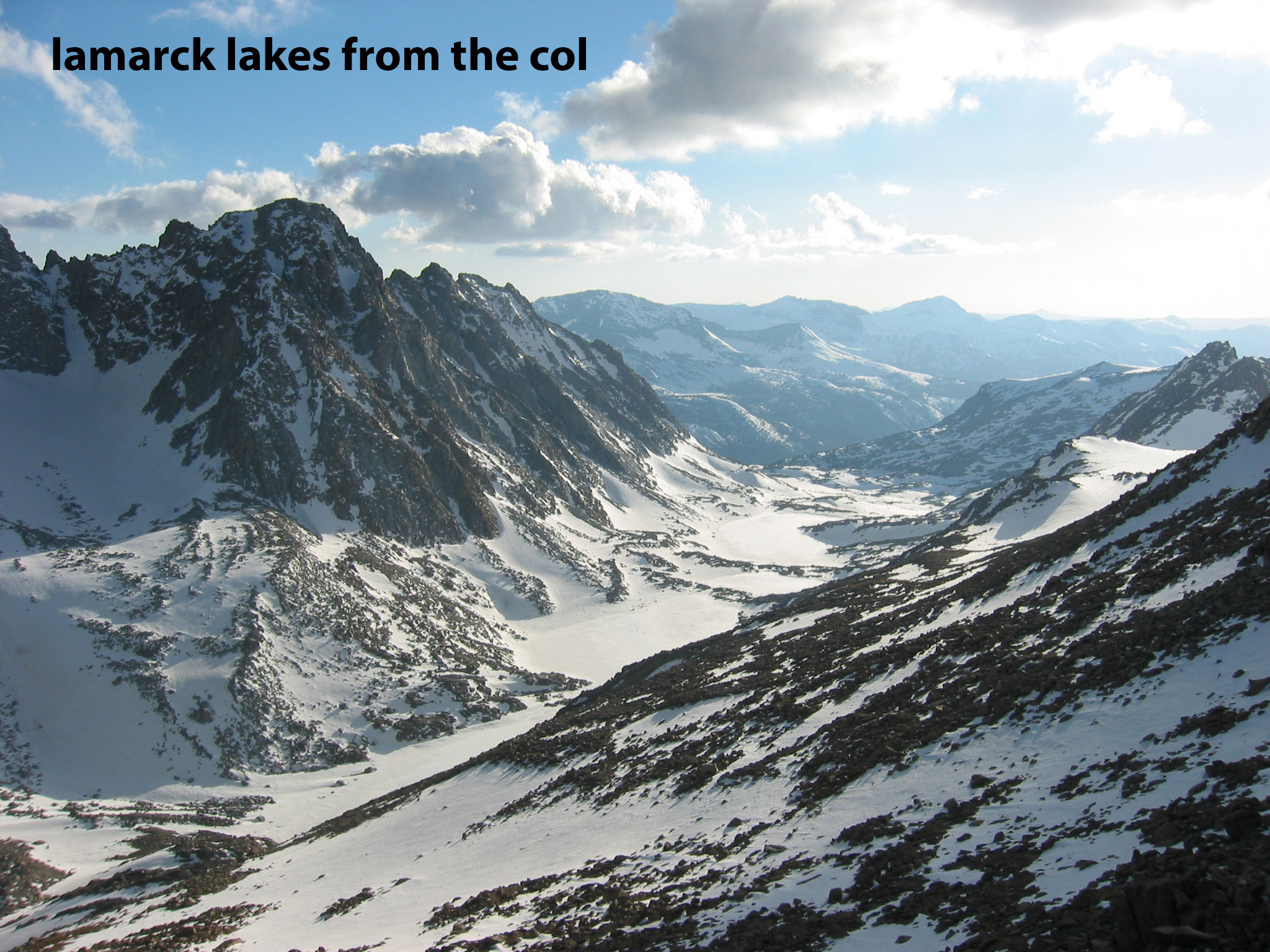
In my tour last week I re-learned that the summer trail leading to Lamarck lakes will be less snow-covered and hard to travel in patchy snow. So I took more of a B-line on the map and found it to work really well. Next time I would do both routes I drew on my map in a loop if there is enough snow, so I could see more terrain and lakes. Make sure you detour the very short distance to Lamarck Col for a full view of Mt. Darwin and Mendel. You only see the top half of those peaks from the summit of Mt. Lamarck.


Looking for awesome ski and splitboard tours in the Sierras? We’ve got write ups on many common and uncommon tours curated by the owner of the BackCountry, Mike Schwartz.