Location: McGee Creek Trailhead near Mammoth Lakes
Elevation: 12,200′
Elevation Change: 4,500′
Recommended Map: …
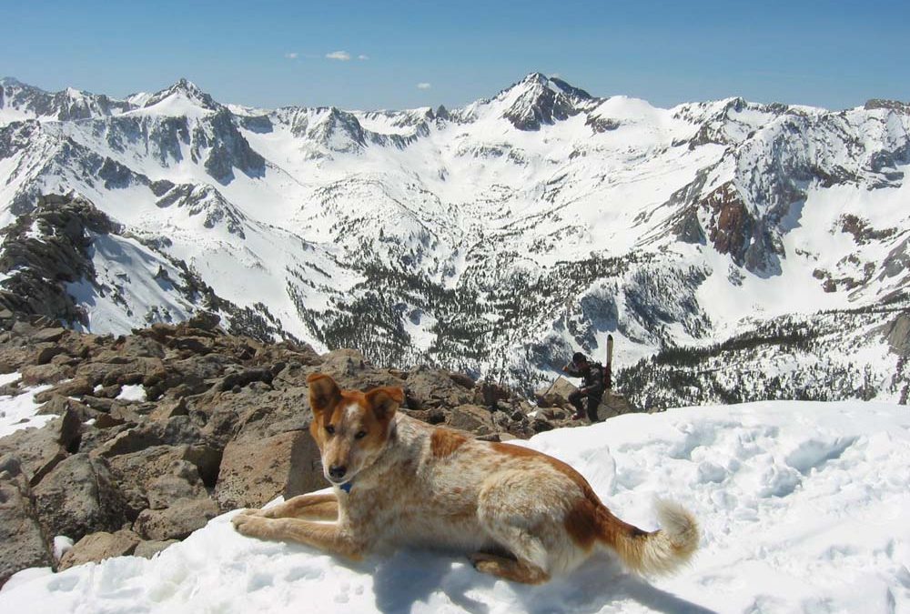
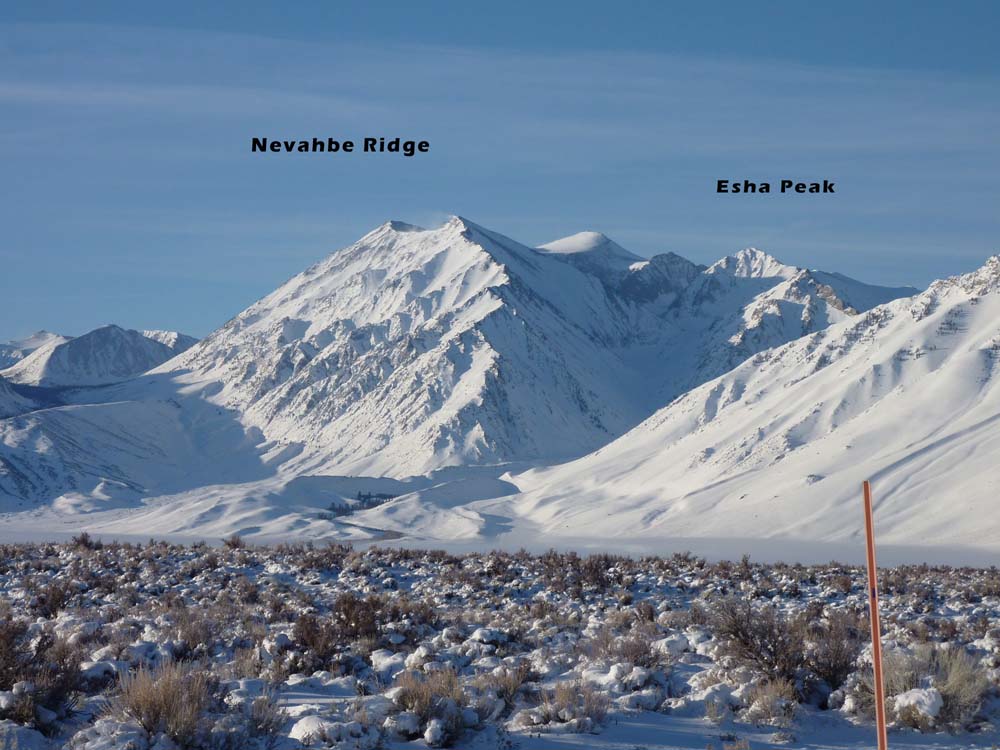
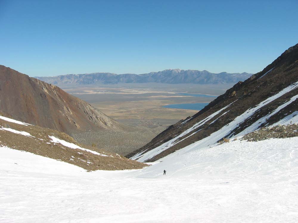
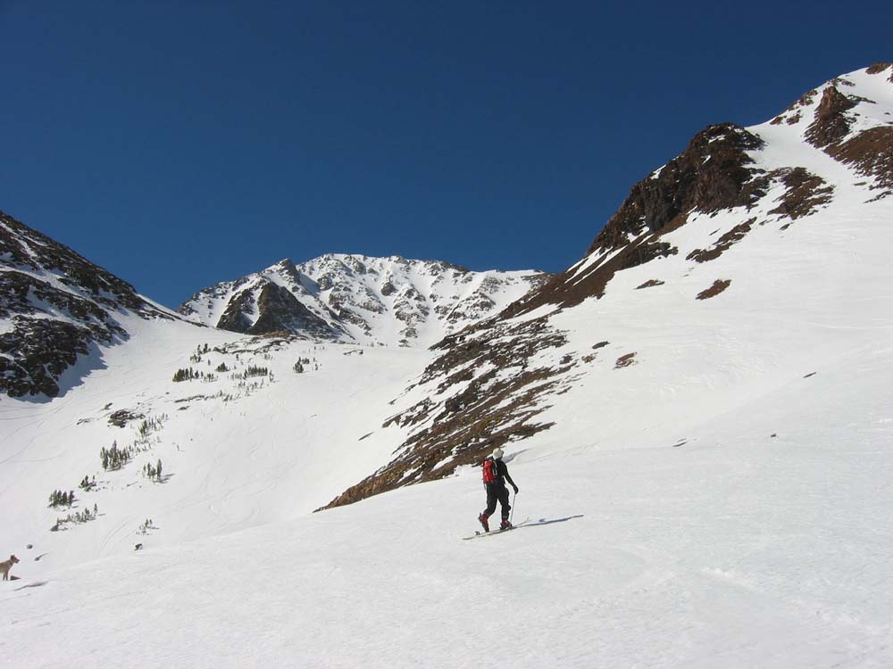
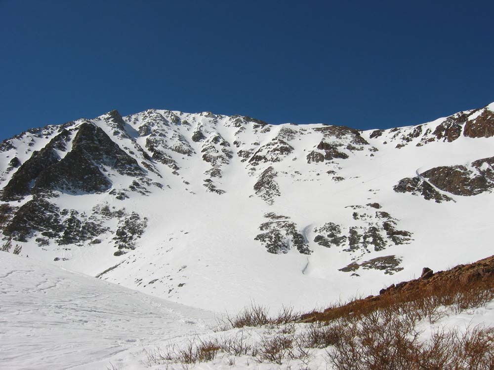
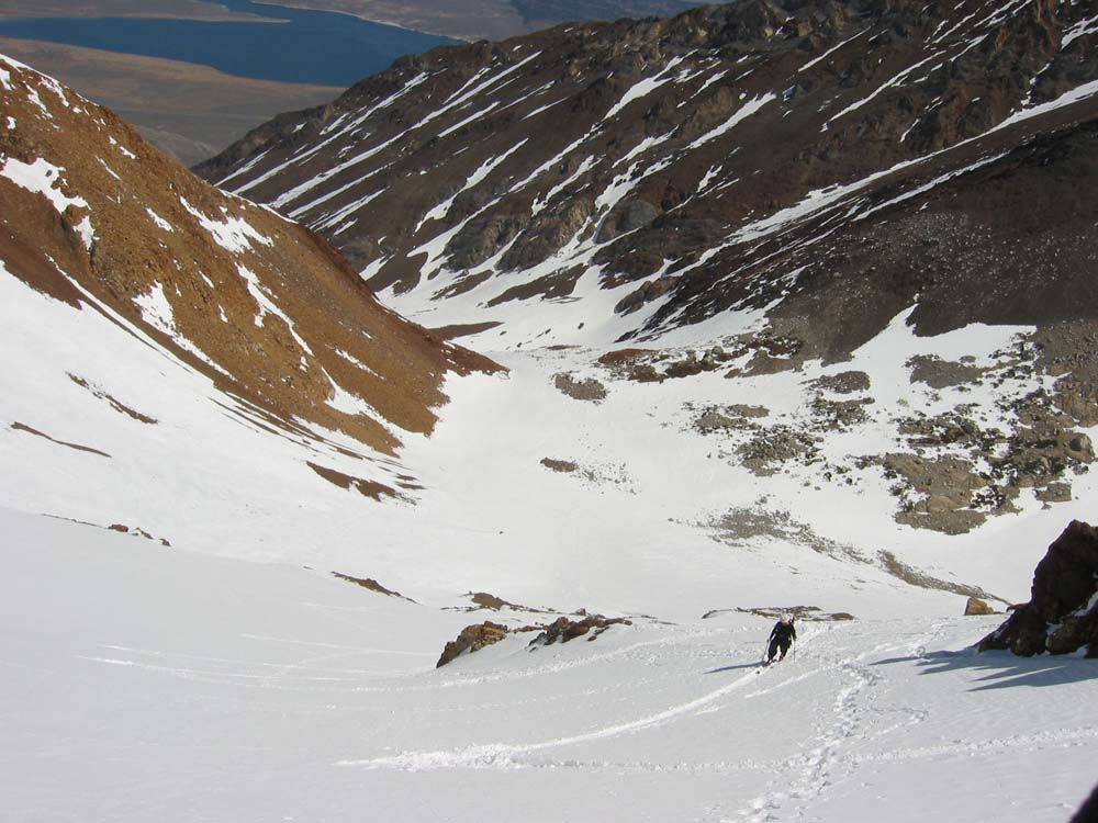
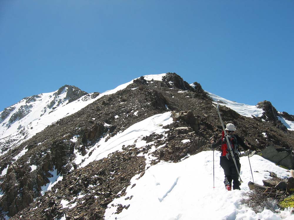
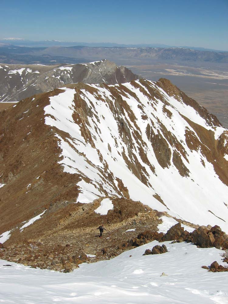
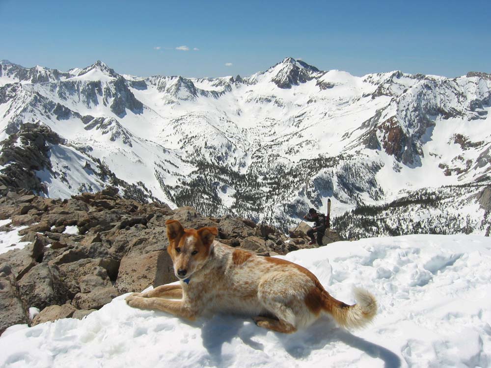
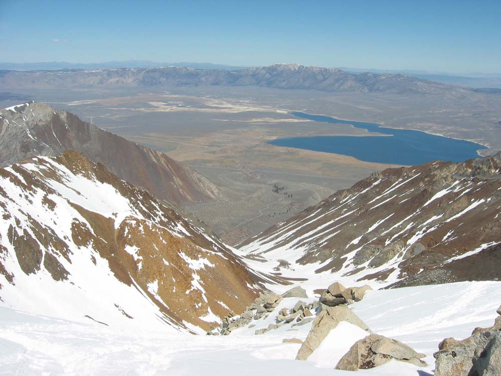
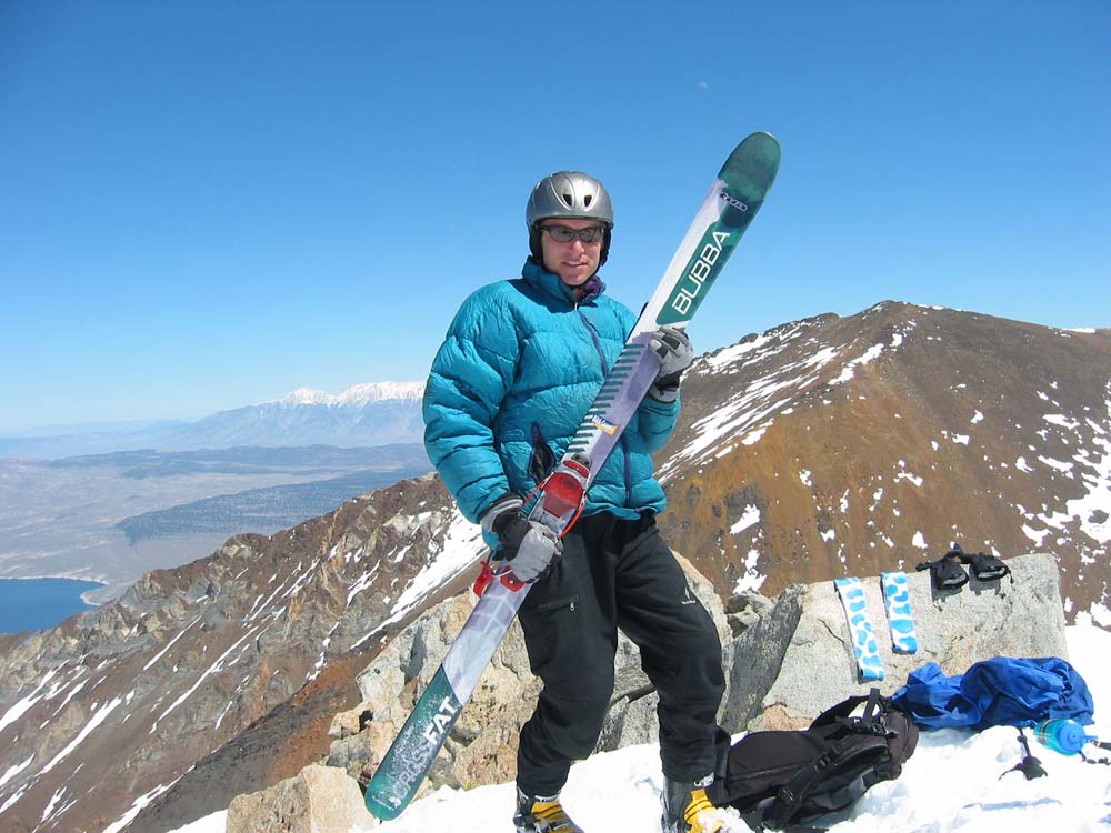
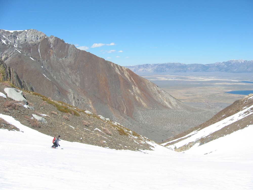
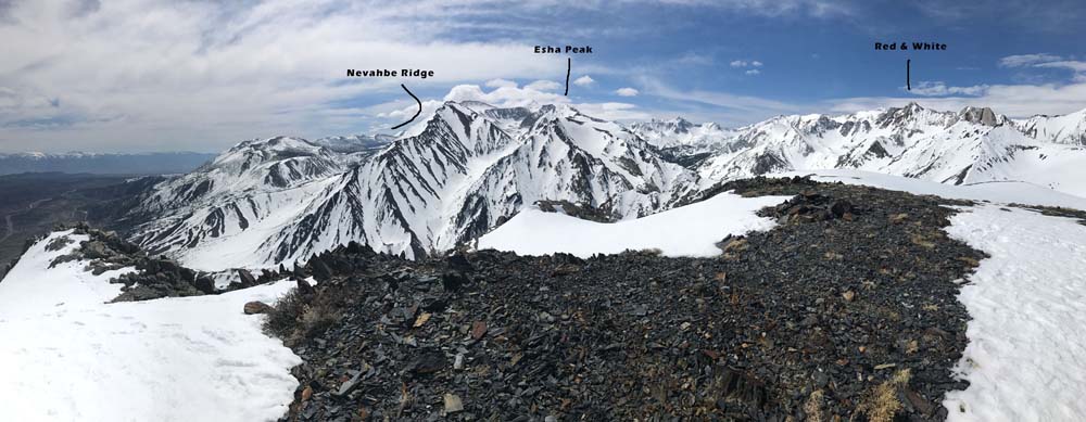
Esha is a picturesque little peak that is easy to see and access right off hwy 395 with an ideal layout. The climb and upper descent is no gimmie of course. Park on pavement where the snow ends near the McGee Creek Trailhead and tour up rolling lower angle canyon that warms you up for a 2000′ walk up to the north ridge. Put your skis on your pack form here and wander around on rock and snow for another 30-60 minutes as you climb to the summit. I have only dropped in to the NE Couloir, just a little south of the summit. That’s the line you can look down and see it’s going to work for sure. Plus the sonw will be best due to north facing tilt. You’ll probably find dreamy corn down below the cirque and glide right back to the creek and your car. There is at least one log to cross for sure, the one I have used not far west of the ranch house. I have never skied the Wineglass Couloir next door. This is a link up I’ve heard of to enhance your Esha ski day. Oh, and the view from summit of Red and White will get you thinking. I haven’t skied that one yet, and it’s 2022. I knew I wanted to go out there after my first Esha Summit over 20 years ago. Maybe this will be the big snowpack year I get to go out there. We will see if I remember or if it gets bumped off the list by something else.

Looking for awesome ski and splitboard tours in the Sierras? We’ve got write ups on many common and uncommon tours curated by the owner of the BackCountry, Mike Schwartz.


With super low snow last year on March 22, 2022, Marty, Danny and Jake from the shop met me for a quick east side ski. The mountains were so bare and unappealing along my drive north from Joshua Tree and I settled on Esha, knowing the gully at least would have snow in it. The top was pretty sketchy but the guys all picked through the rocks and we found great corn below the cirque.