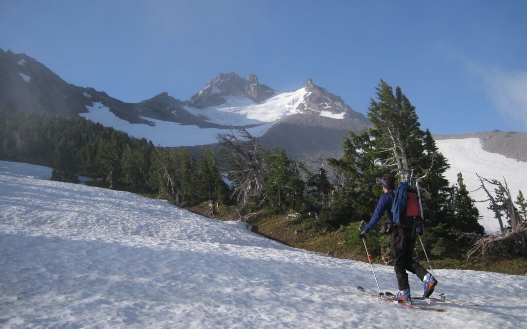
Mt. Jefferson 10,497′ – skiing is below 8500′
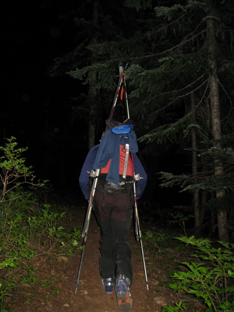
Trailhead elevation 4100′
The guidebooks I have at home are Oregon Descents by David Waag 1997, and Backcountryski Oregon by Christopher Van Tilburg 2001. You’ll also find some pics and home-made maps on an older website called skimountaineer.com by Amar Andalkar. We also just started selling Stevens Pass Ski Atlas From Alpenglow Publishing Studio By Dexter Burke – The BackCountry in the shop. These amazing mountain images from the air to help you visualize your ski tour ideas. I thought I had a clue until I started flipping through these three photo books. We have them in the shop for sale now. The other two are for Tahoe and Steven’s Pass.
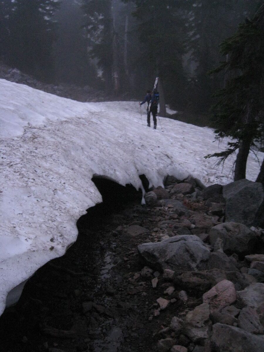
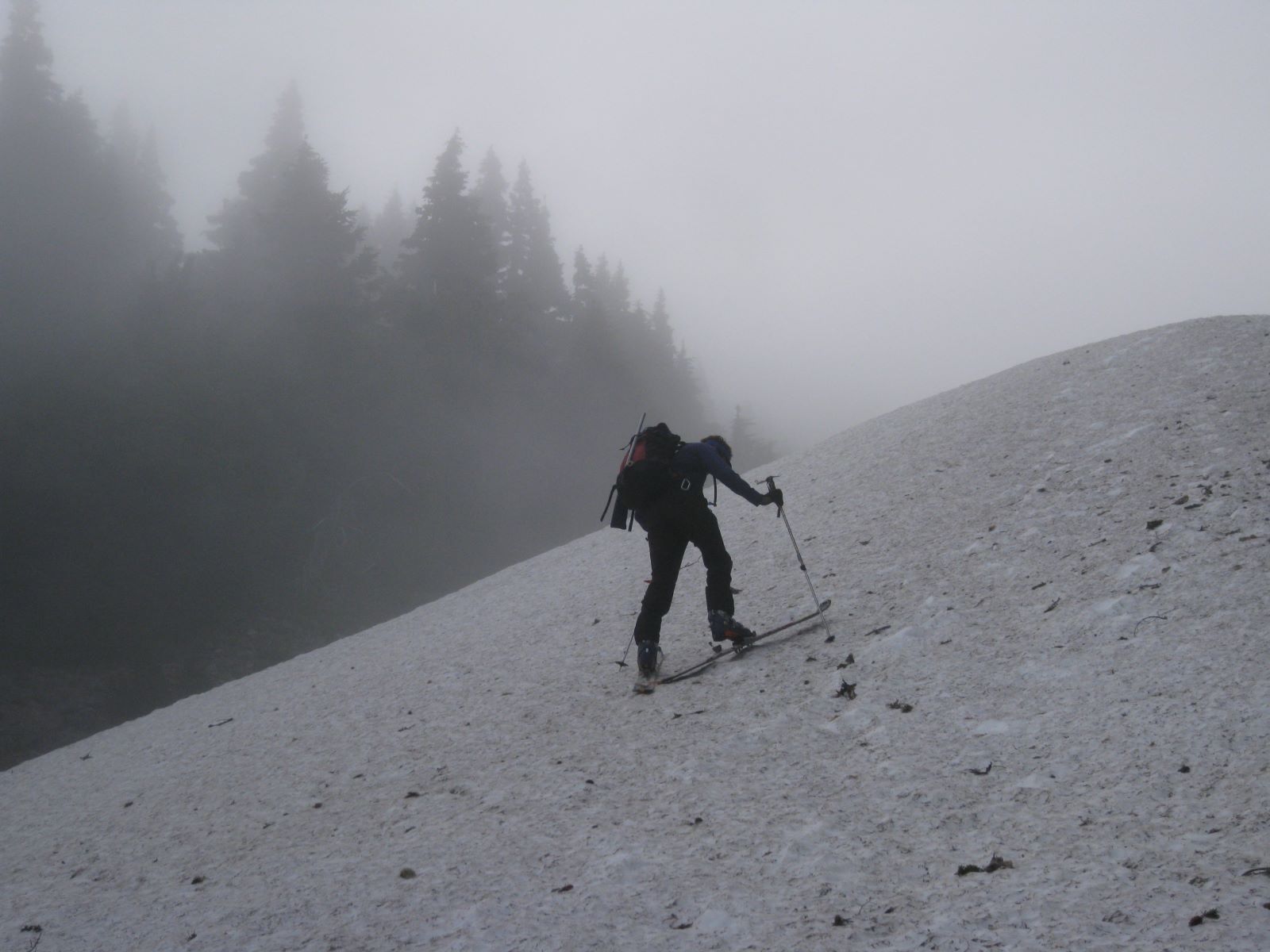
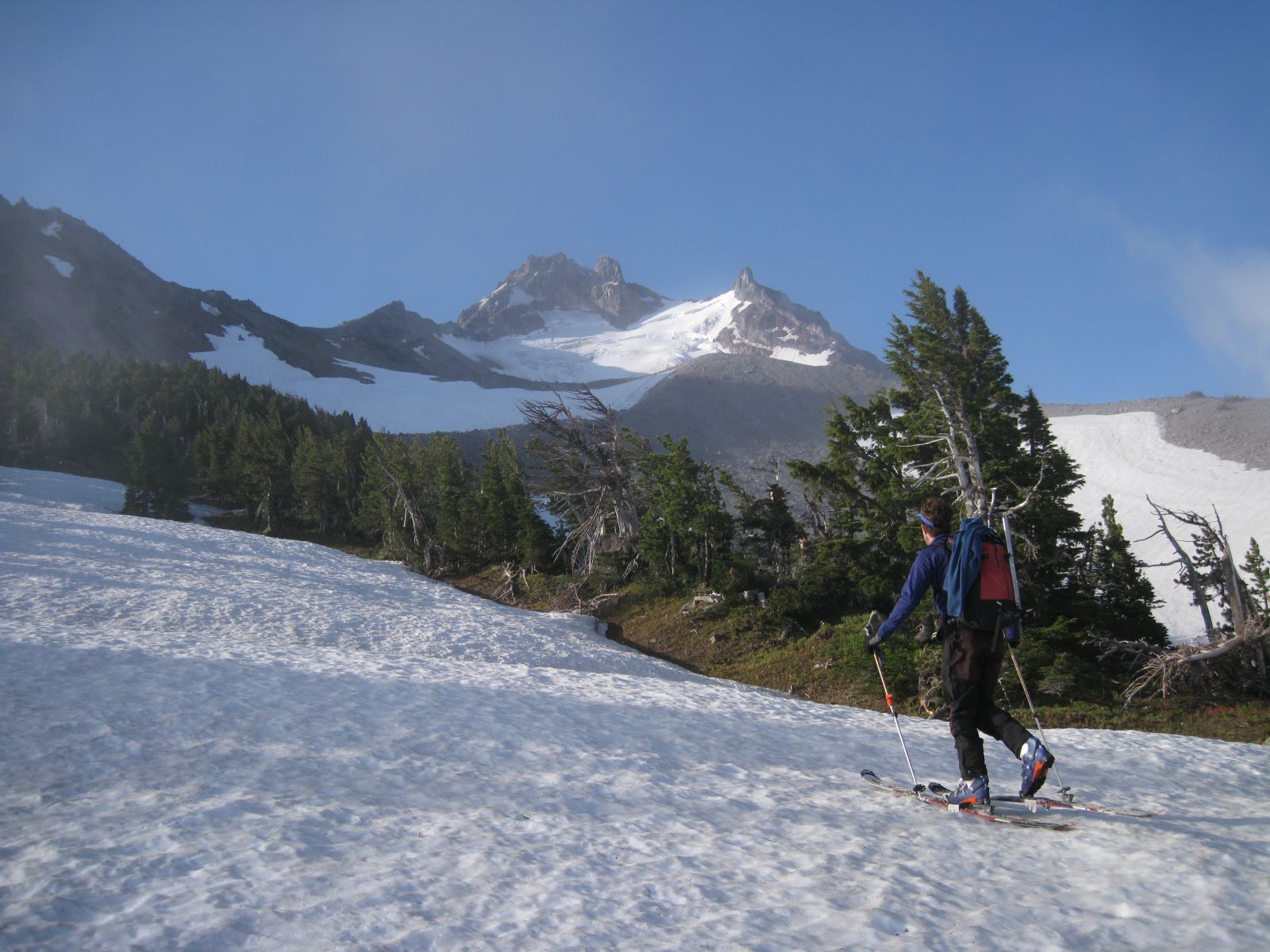
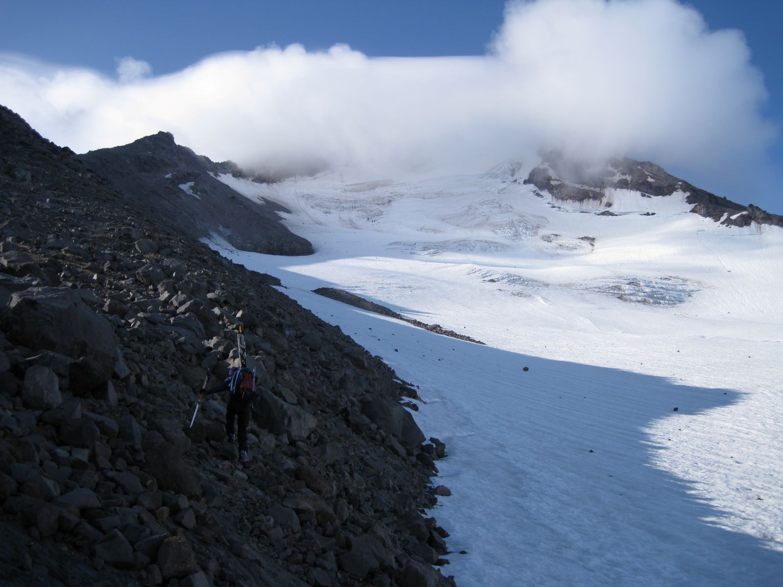
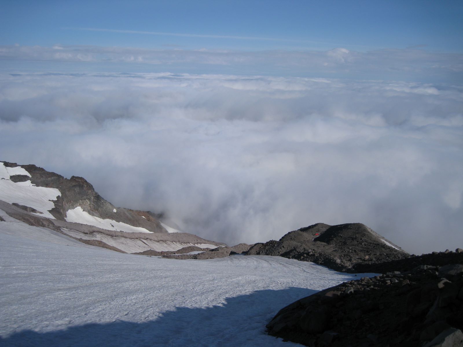
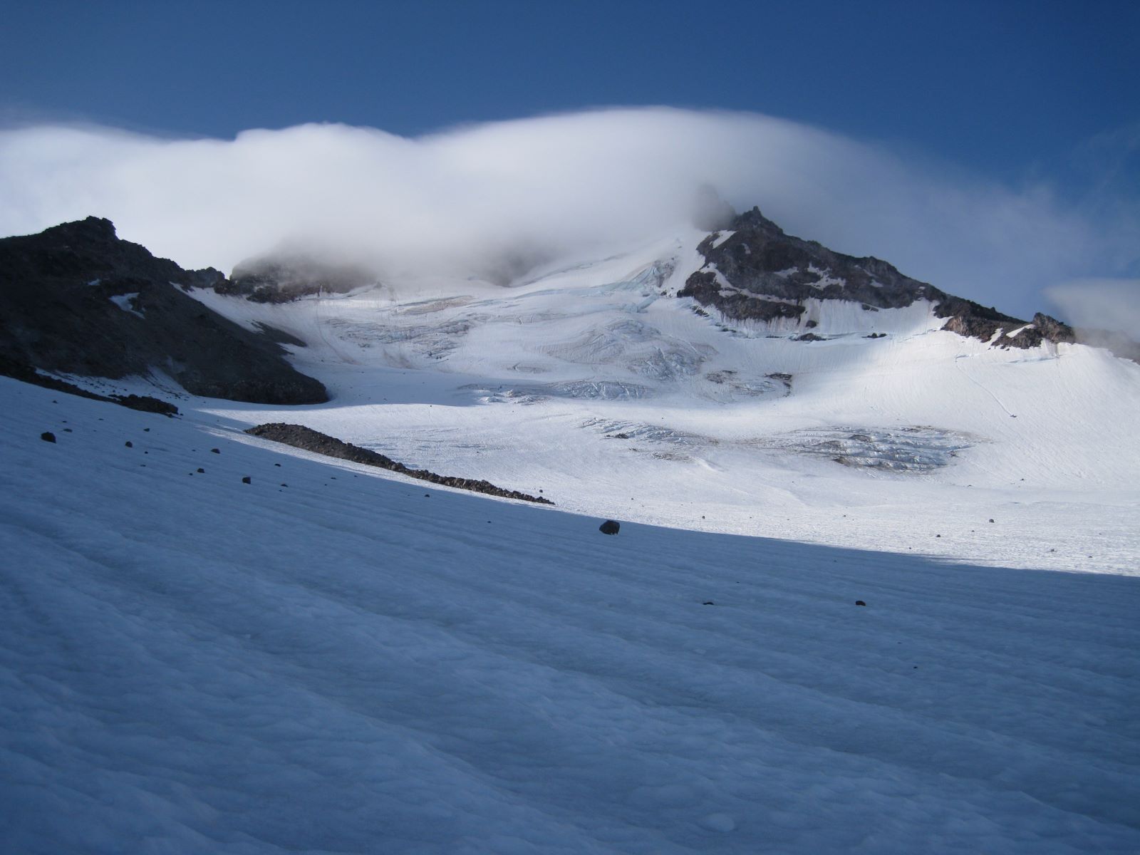
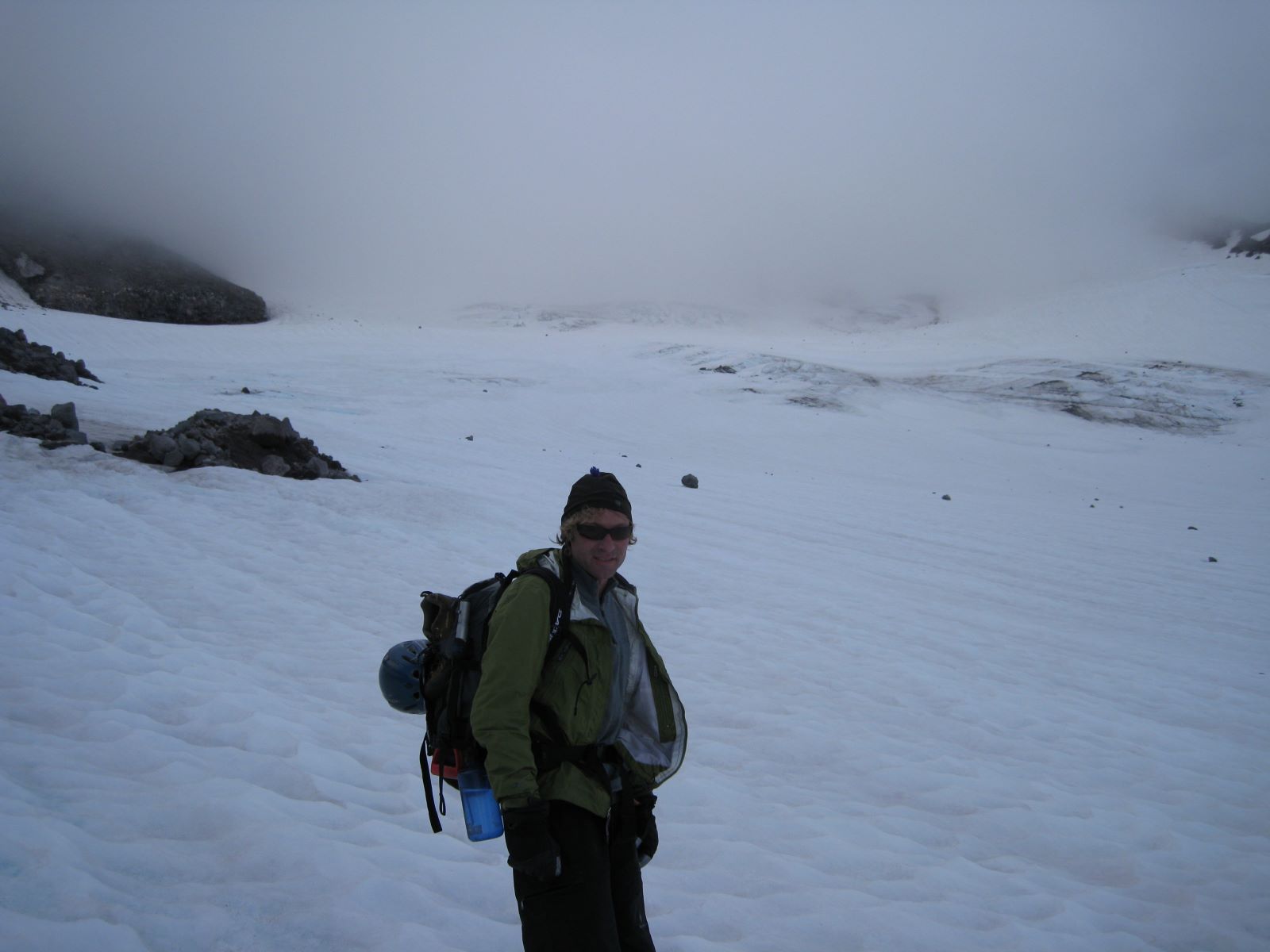
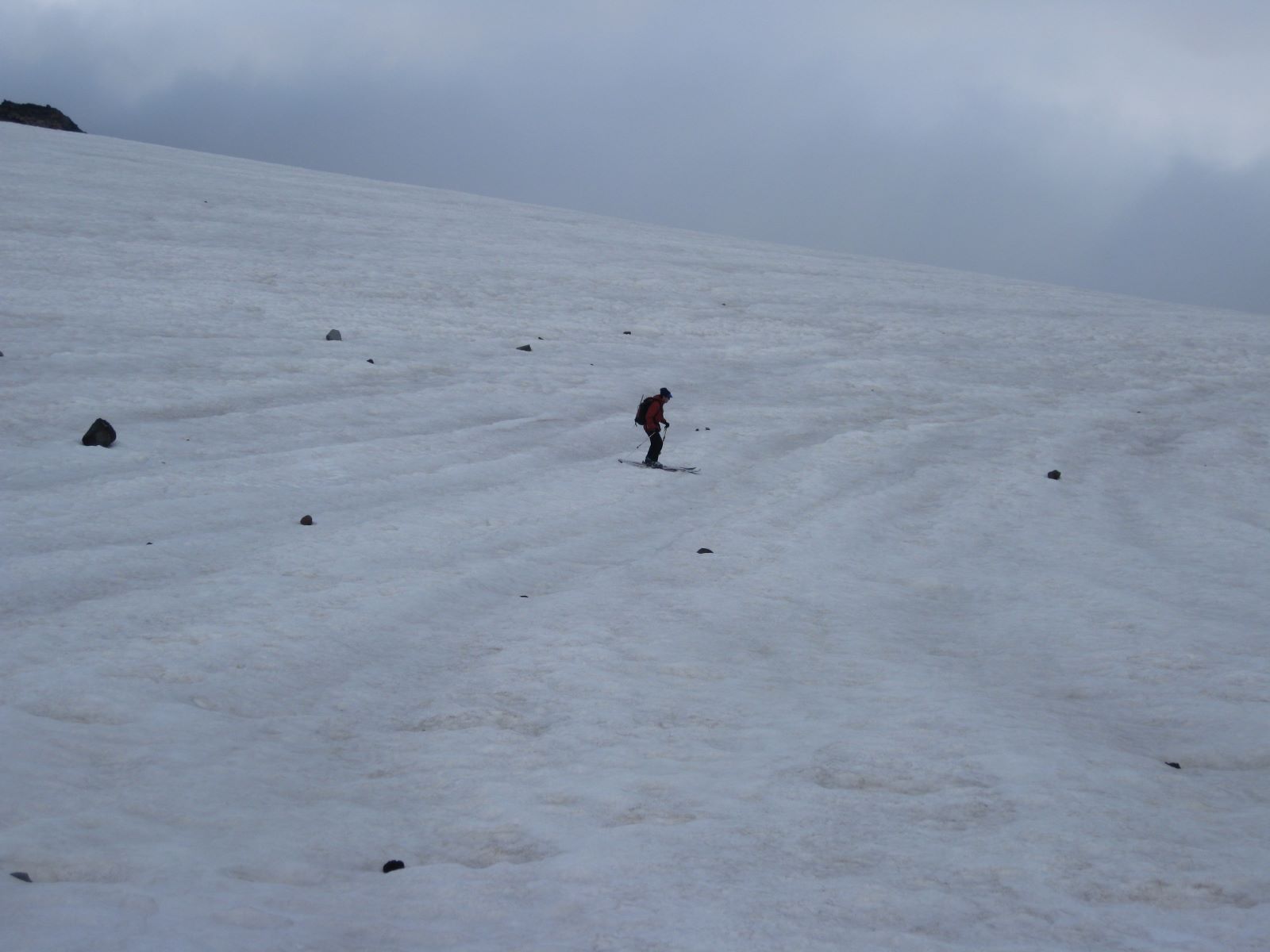
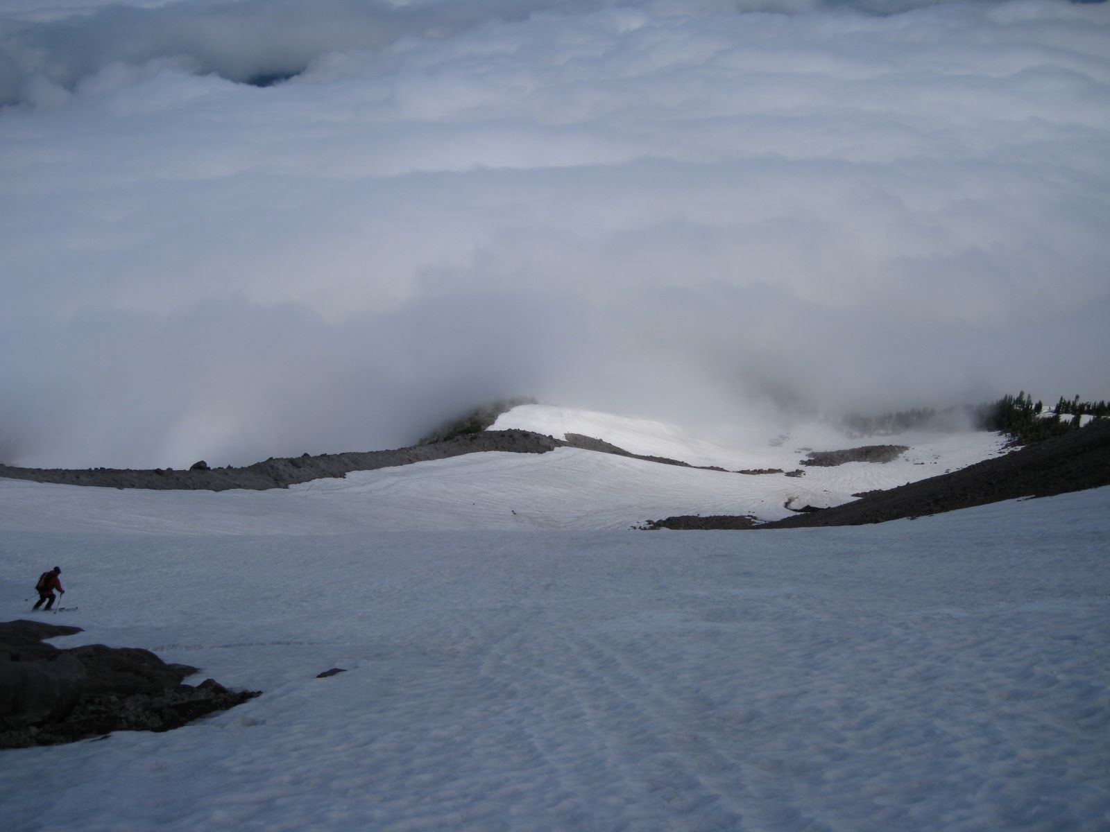
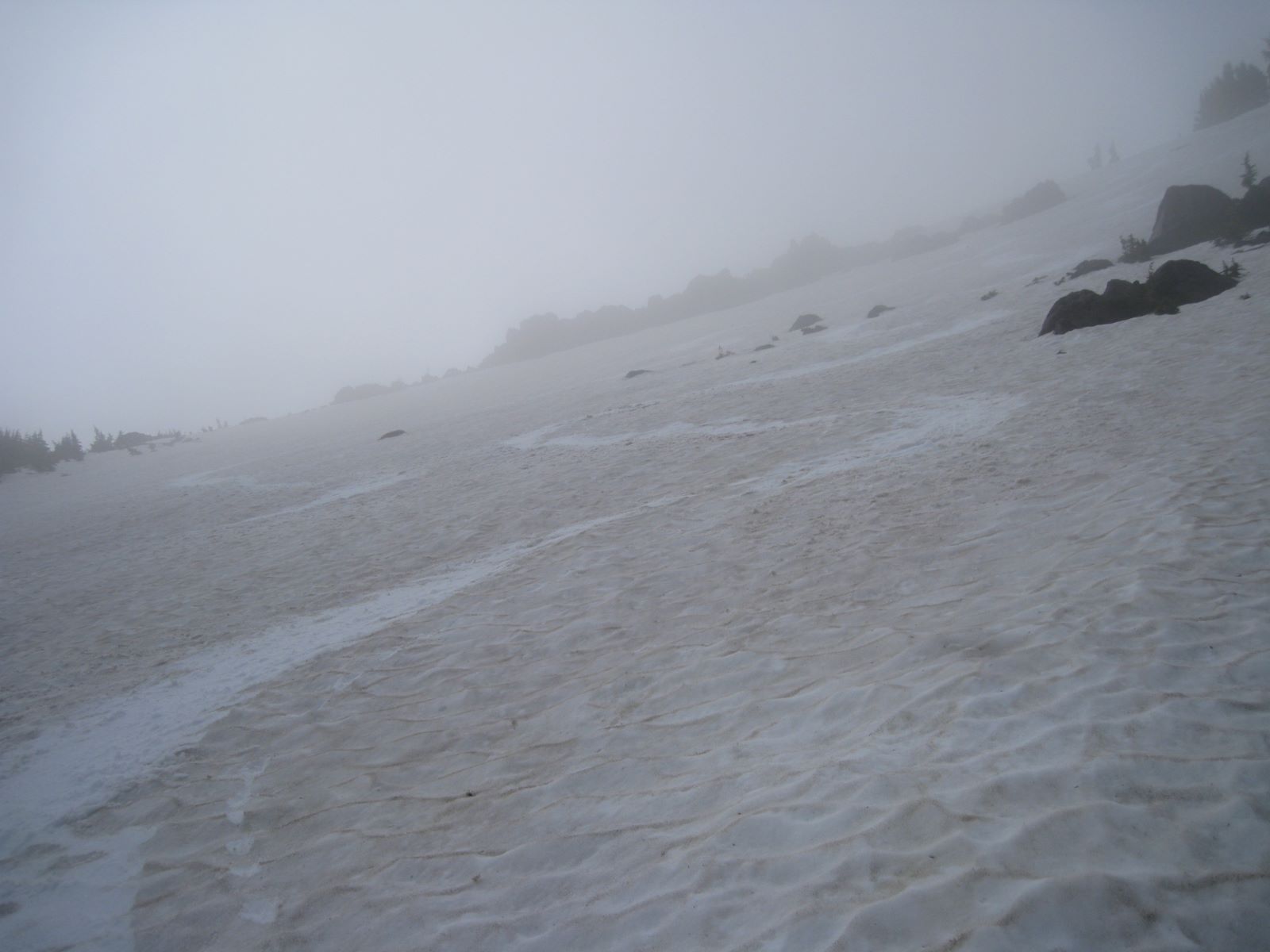
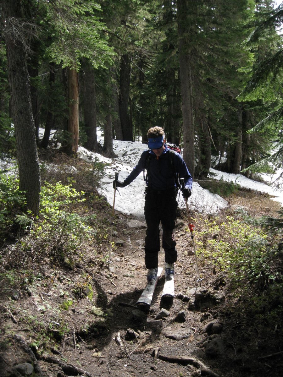
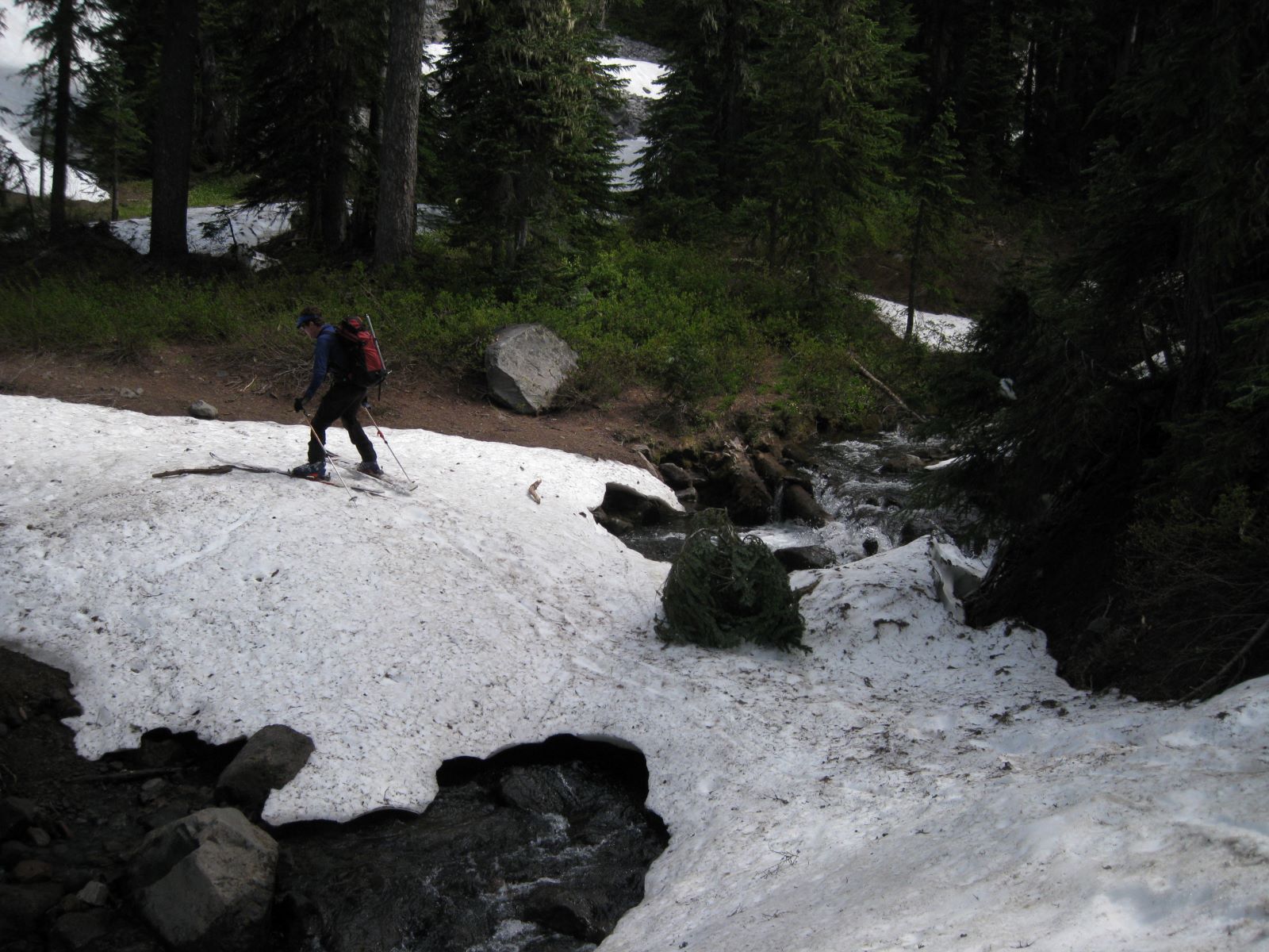
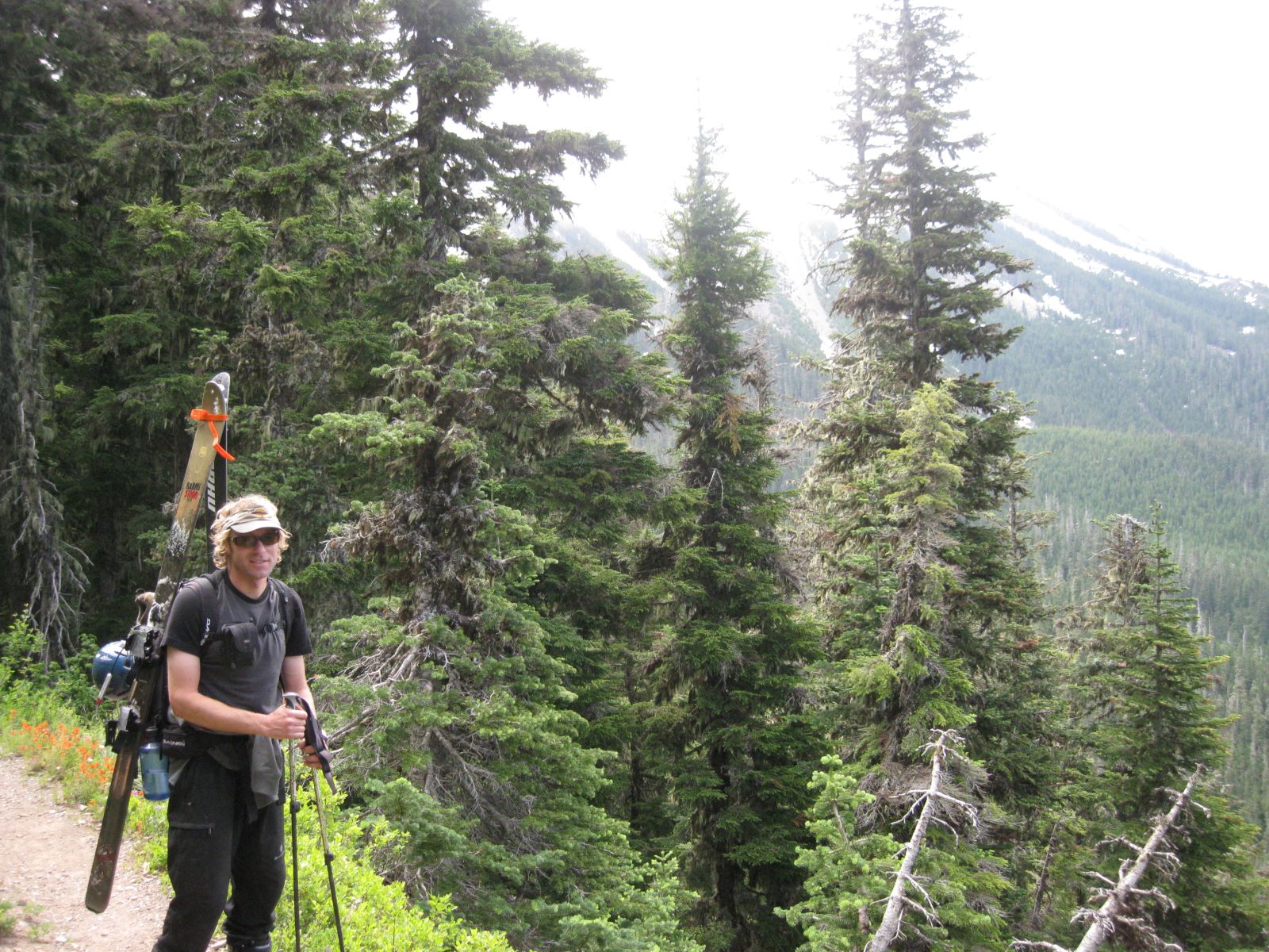
Mt. Jefferson is a stunning and imposing Glaciated peak in centra Oregon with maybe 2000′ of fall line skiing. You could make a few runs in two areas, but the snow is pretty far from the car. Next time I would go camp up there and explore a little more. When Steve Reynaud and I went out there, we had terrible snow and got socked in by clouds. Plus, we walked through thick forest for hours to find the snow. It’s always fun for me however, and you need to go do stuff to learn stuff.
I have read that Mt.Jefferson is the most difficult Volcano to summit in Oregon. If you can get through the crevasses, you have a crumbly 4th class summit block to deal with. There is reported to be better conditions to ski and climb on the south side, but the approach is even longer, and snow will melt out sooner. I haven’t researched anything about this peak and intend to go back if I can find a climbing partner who wants to spend a night or two out there in late spring.

Looking for awesome ski and splitboard tours in the Sierras? We’ve got write ups on many common and uncommon tours curated by the owner of the BackCountry, Mike Schwartz.


