Mt. Langley 14,042’
Elevation Change 6500’
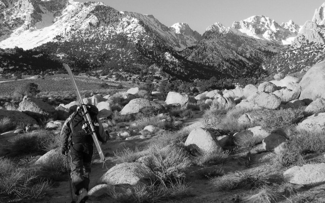
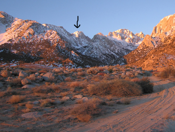
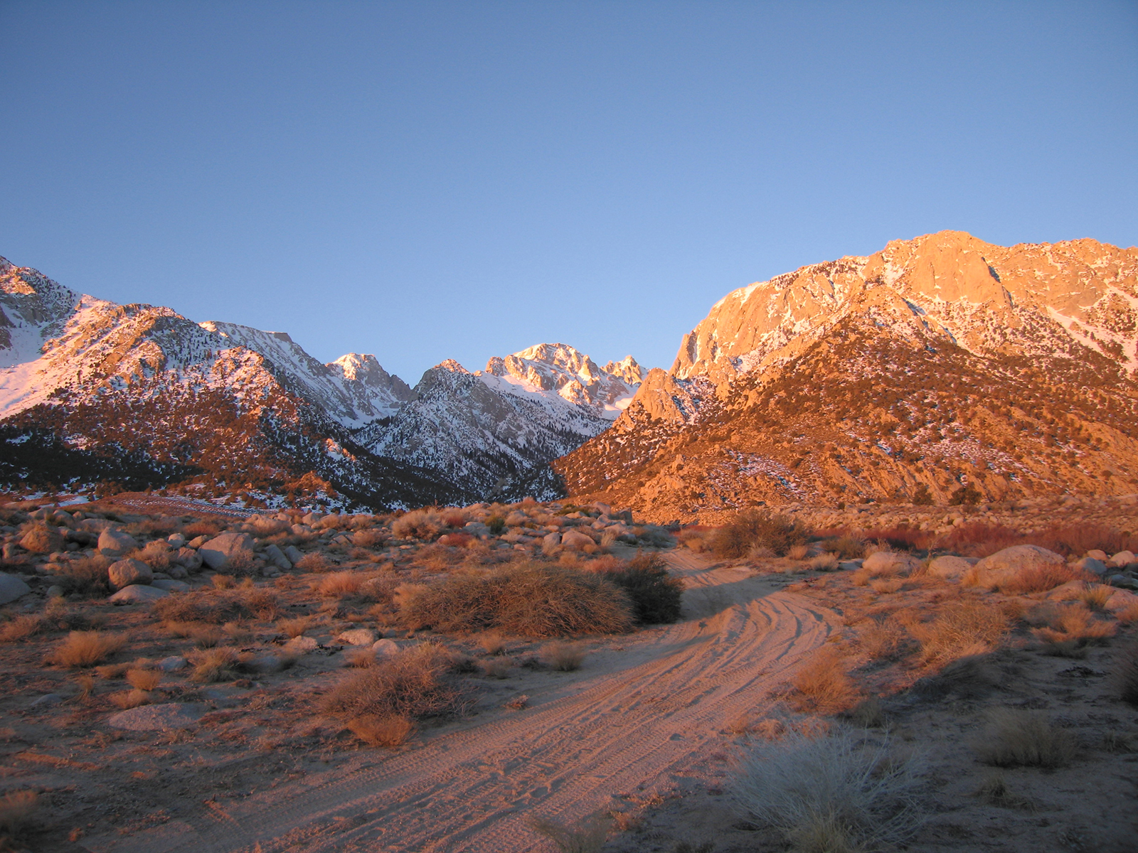
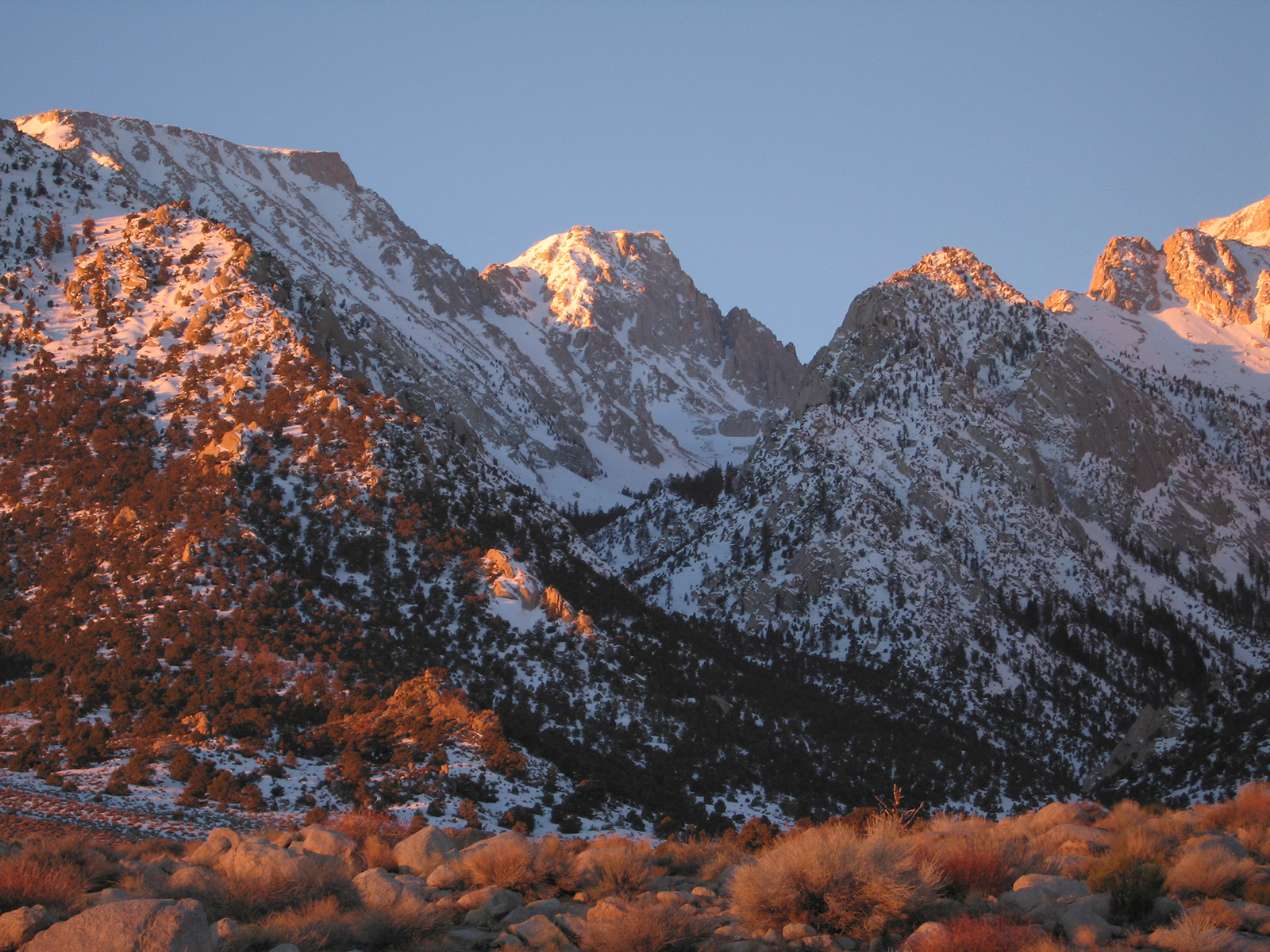
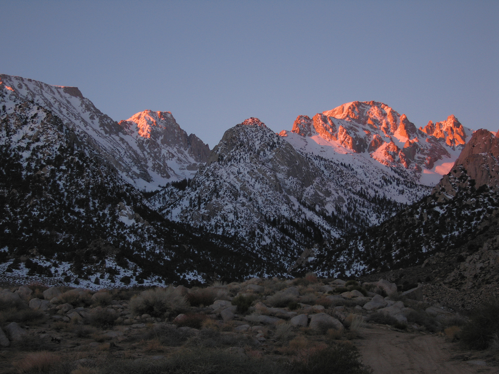
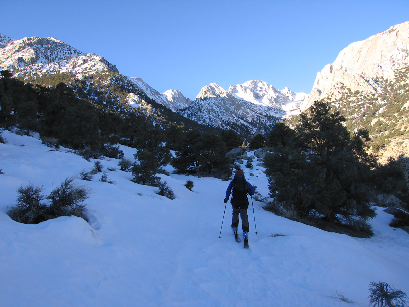
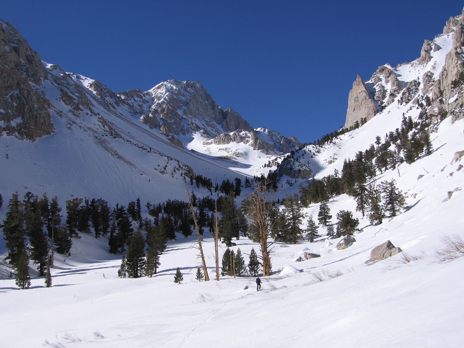
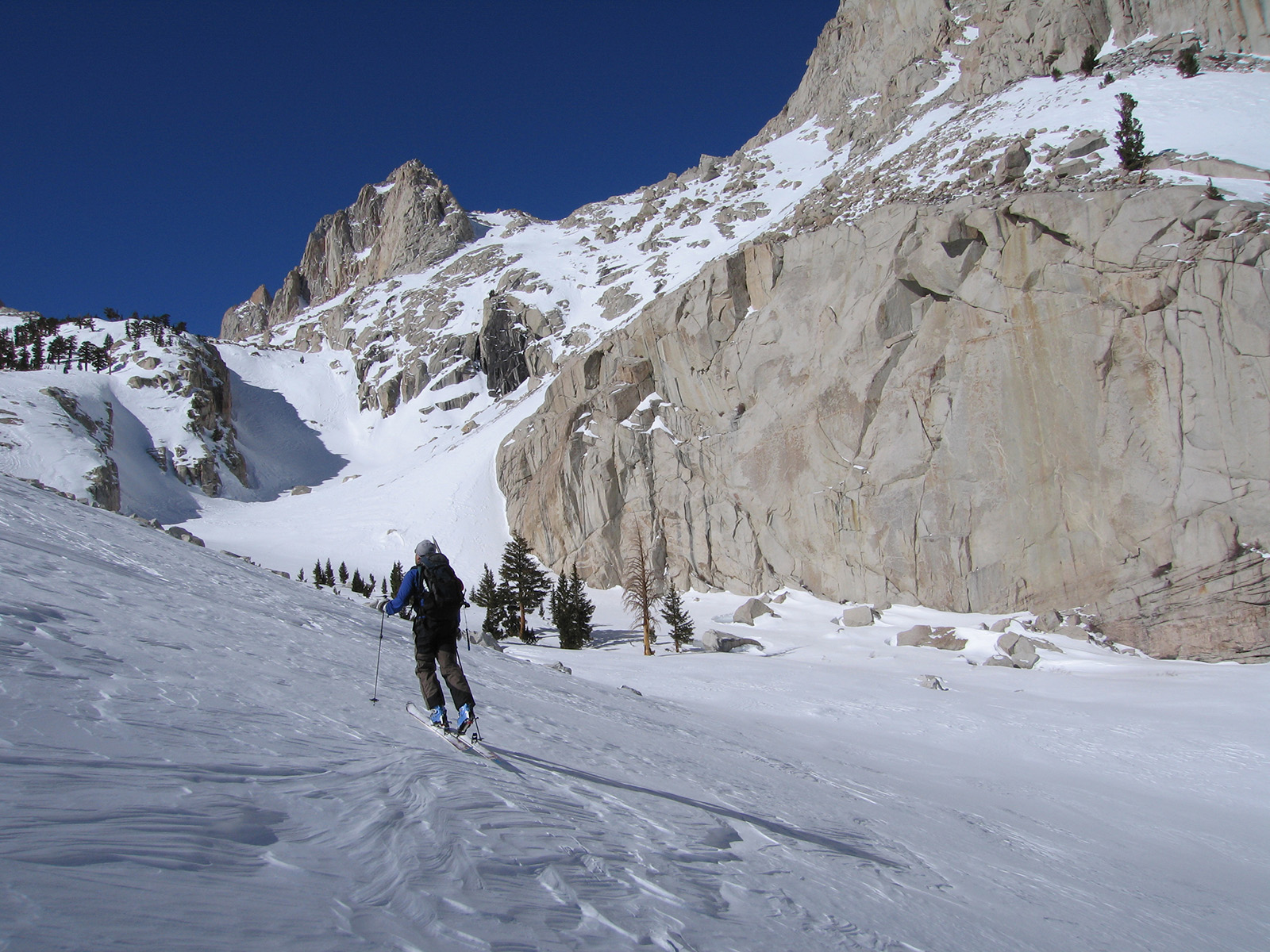
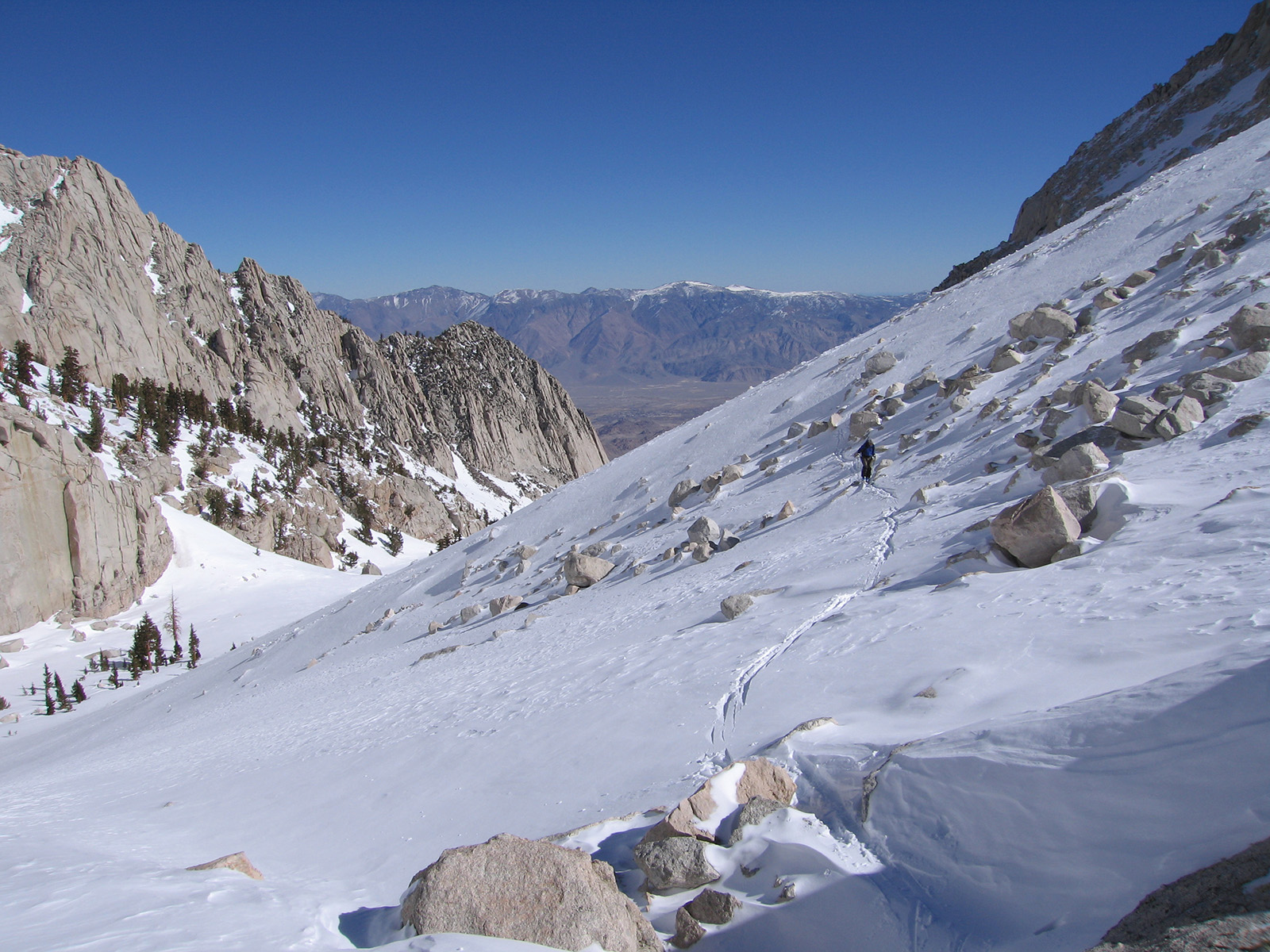
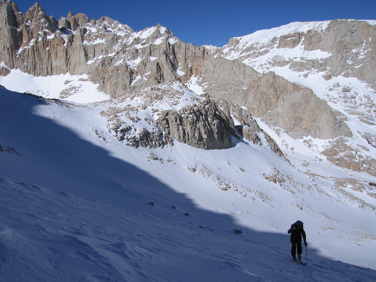
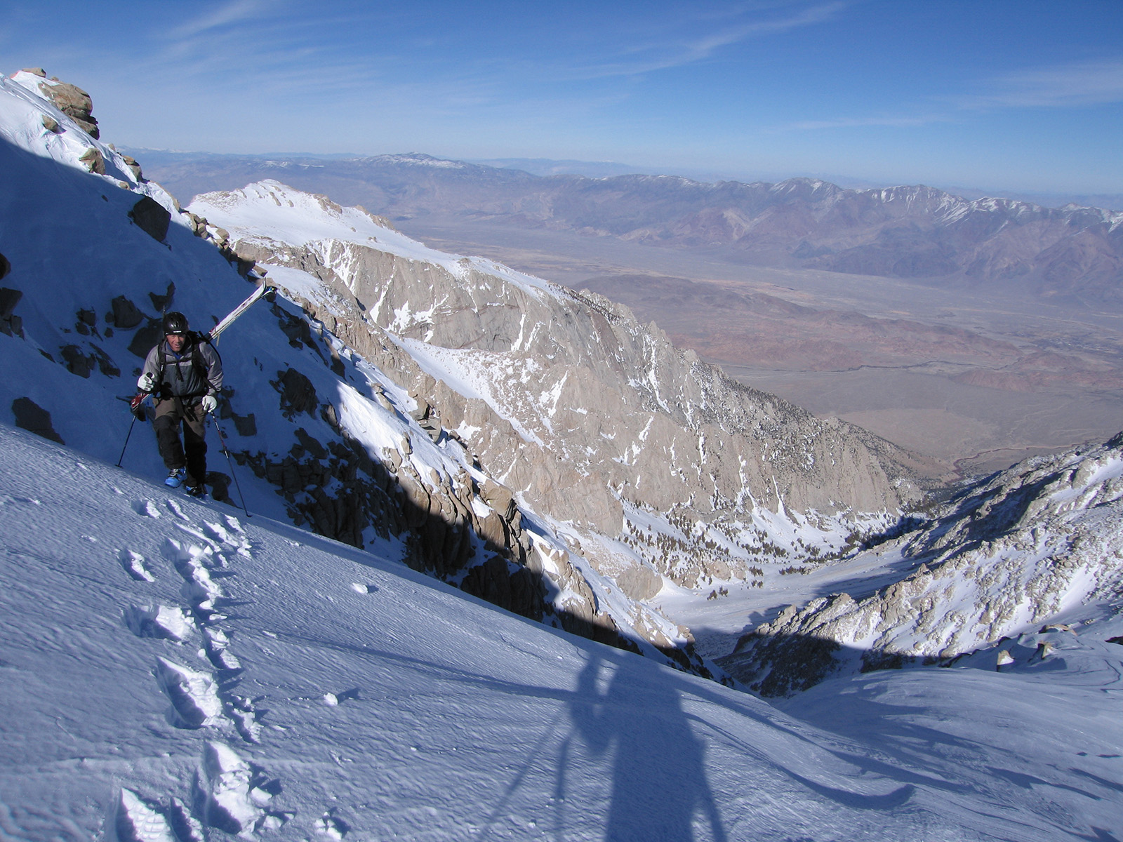
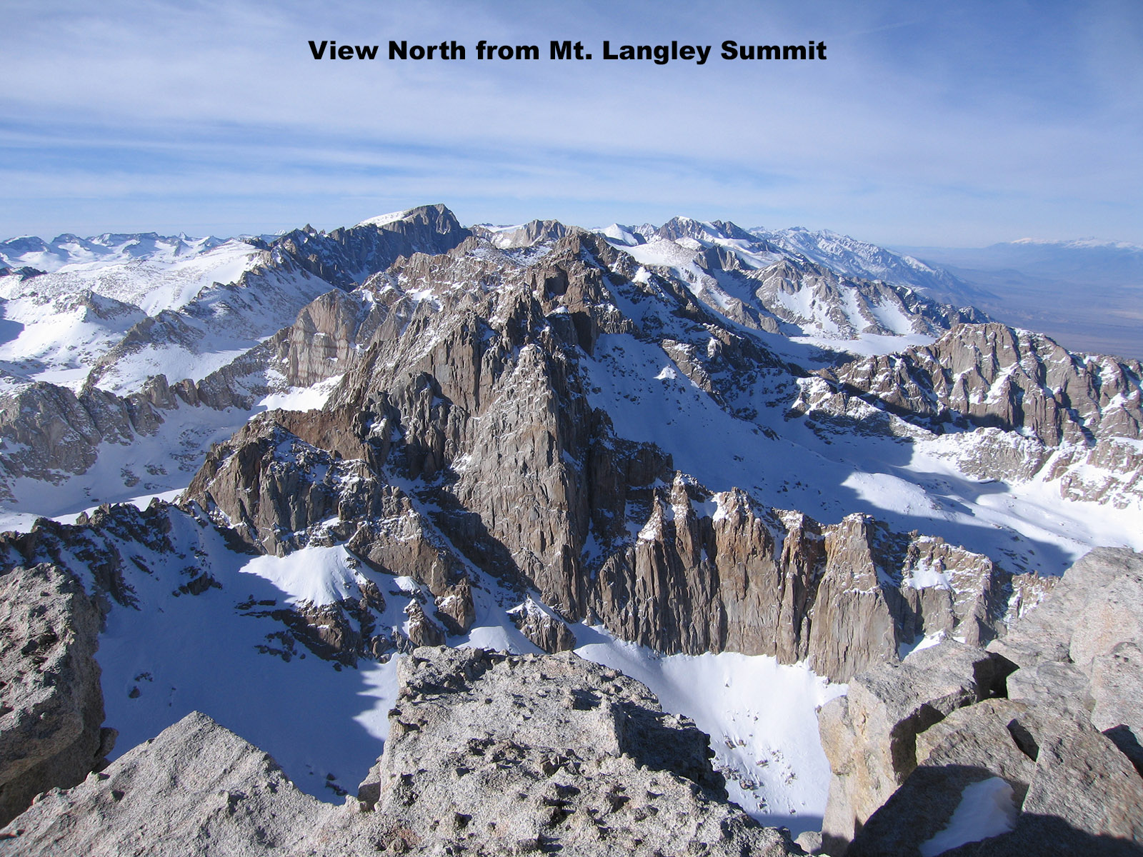
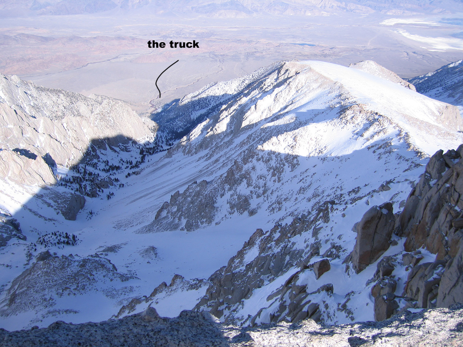
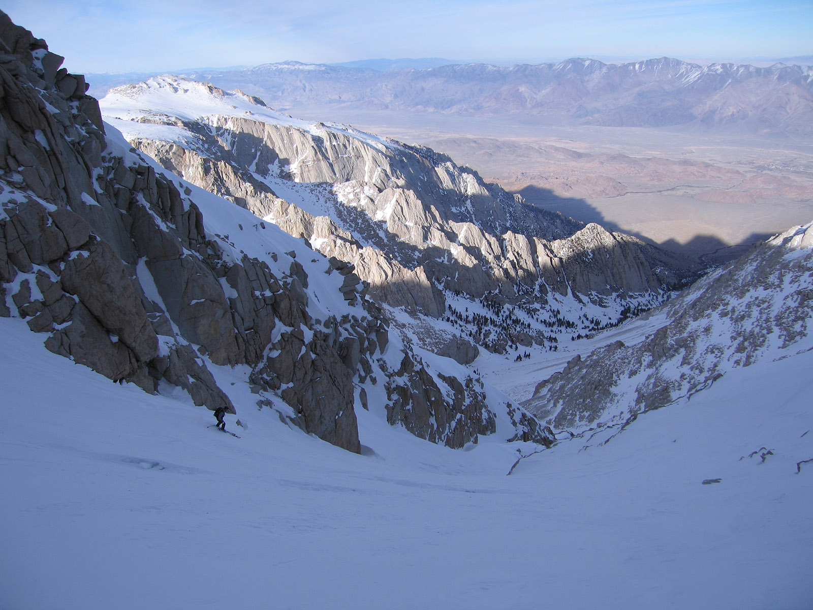
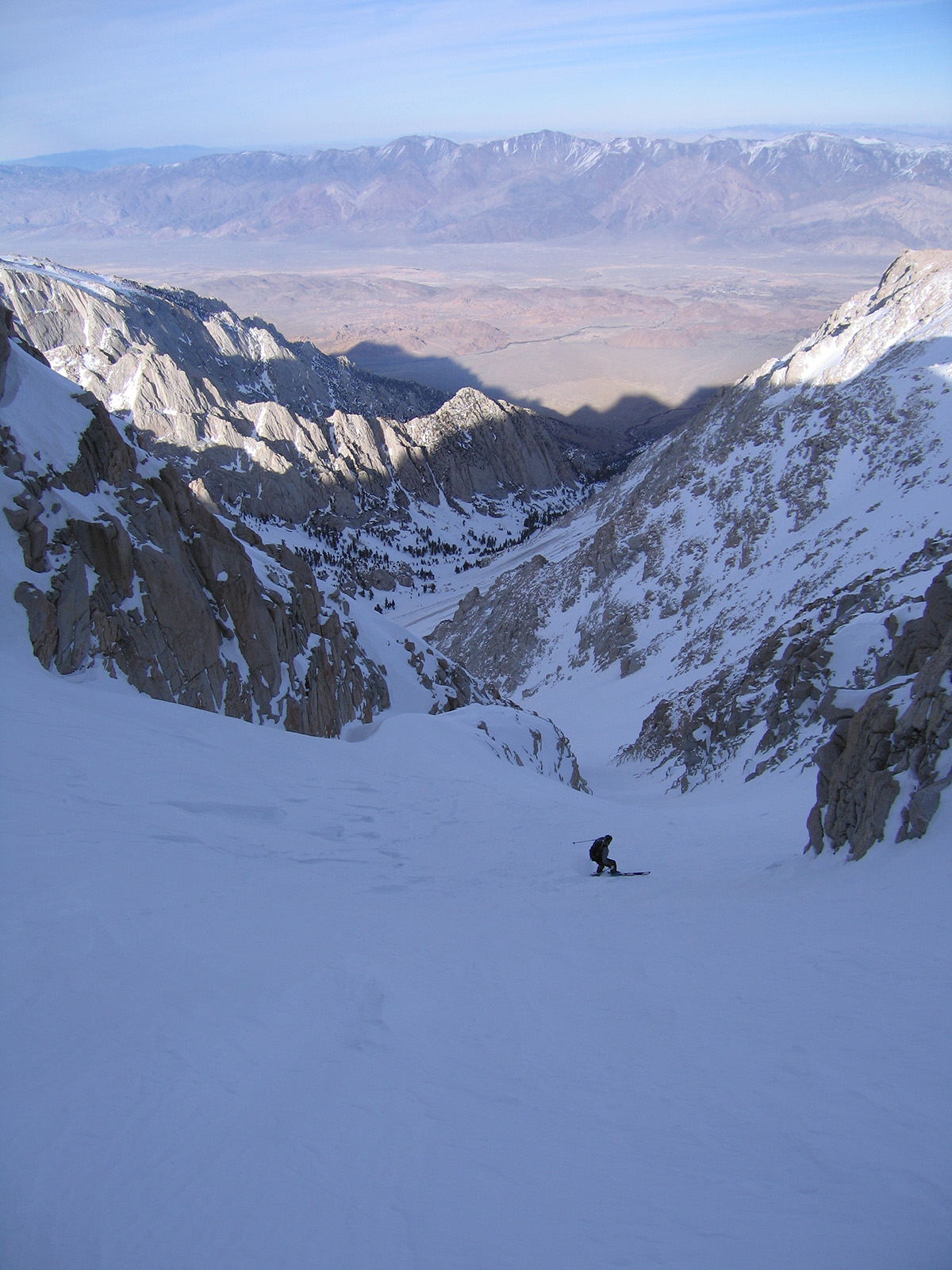
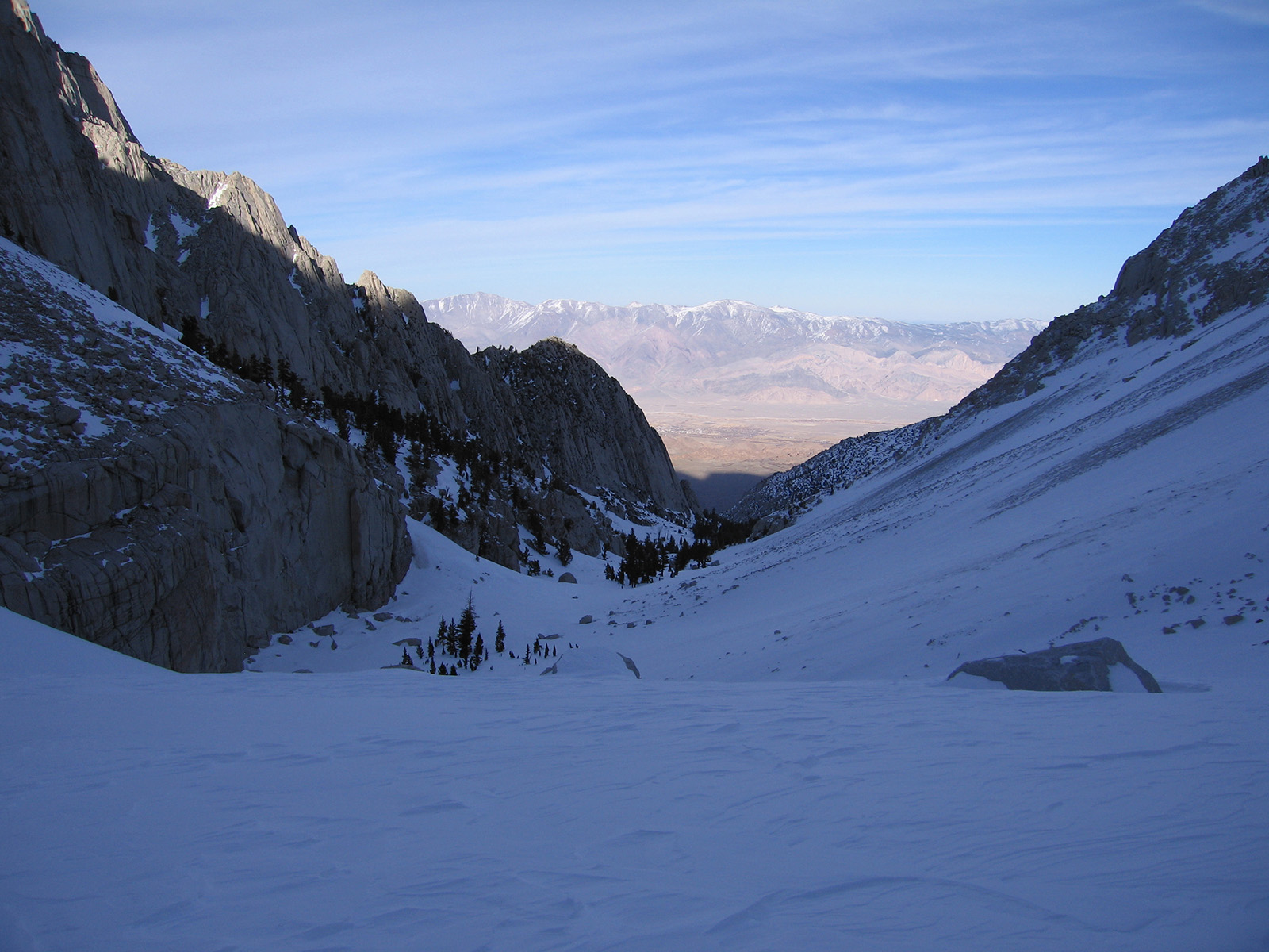
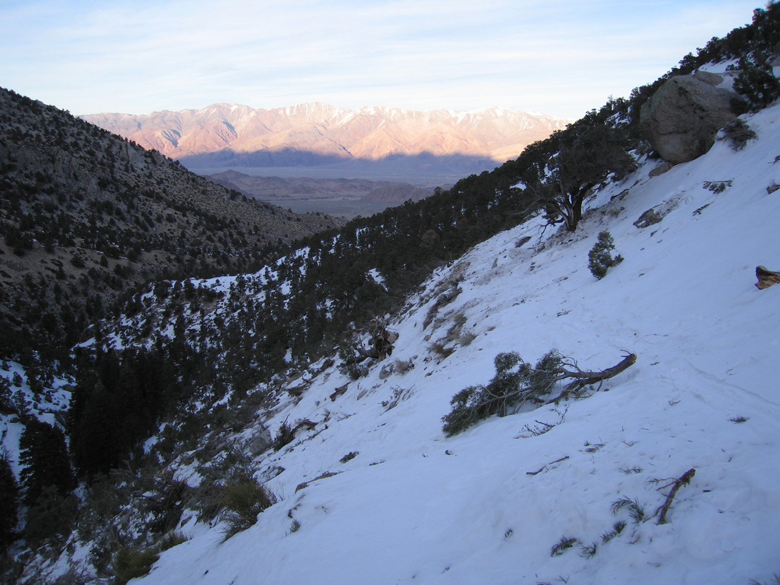
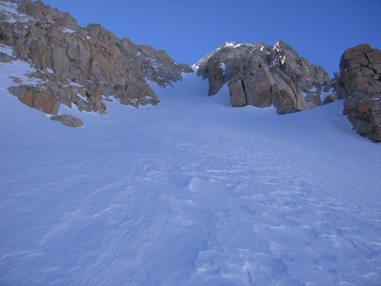
This could be your first 14er ski descent. Mt. Langley is big and remote, but easy to navigate and not skied very often. This is the most southern California 14er, far enough from population centers that it gets forgotten. You can see the Northeast Couloir from town, a 2000’ line dropping steeply from the summit ridge into Tuttle Creek Canyon where you parked near the summer trailhead.
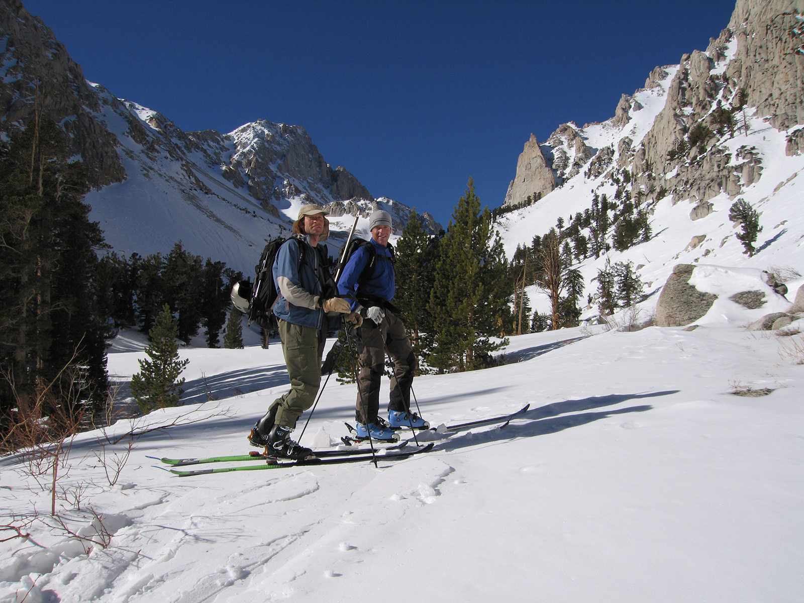
John Crus and I skied Mt. Langley in early February of 2005. I had to look that up, but he knows the day well. He barely escaped town to climb this peak we both wanted. And his cell phone rang near the summit. It was his wife, saying get home because your daughter is about to be born. I think she was early, because I recall talking about a few weeks to Rachel’s due date before we left. We literally raced to the summit, down the mountain, and back to Tahoe as fast as we could after the phone call.
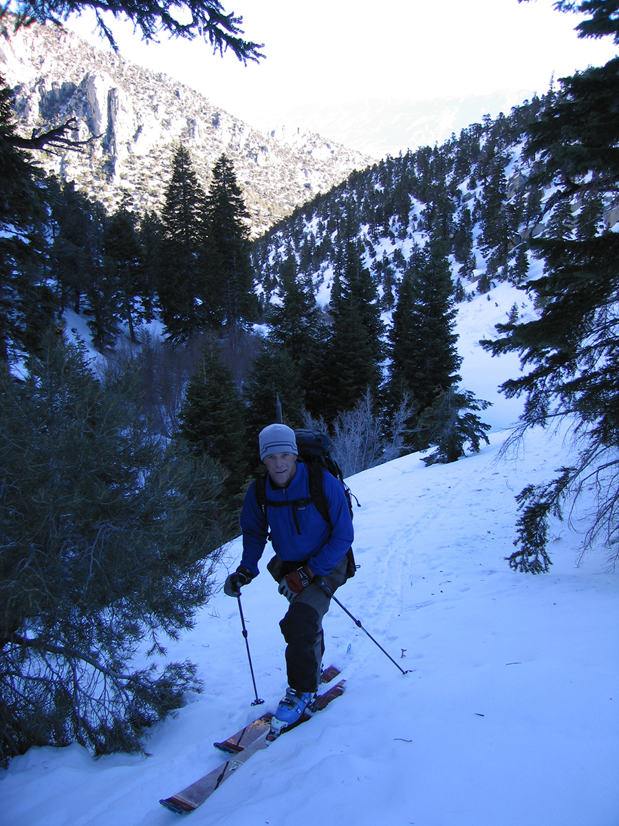
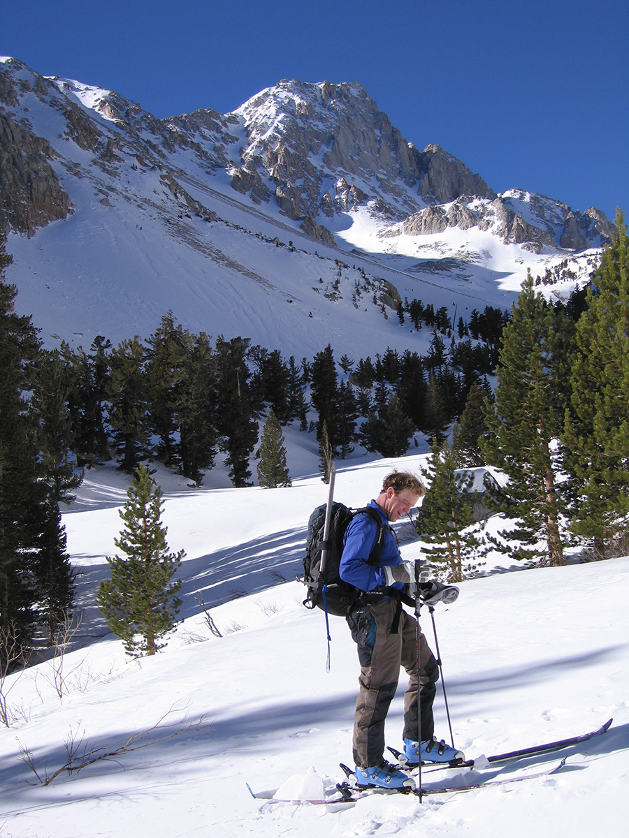
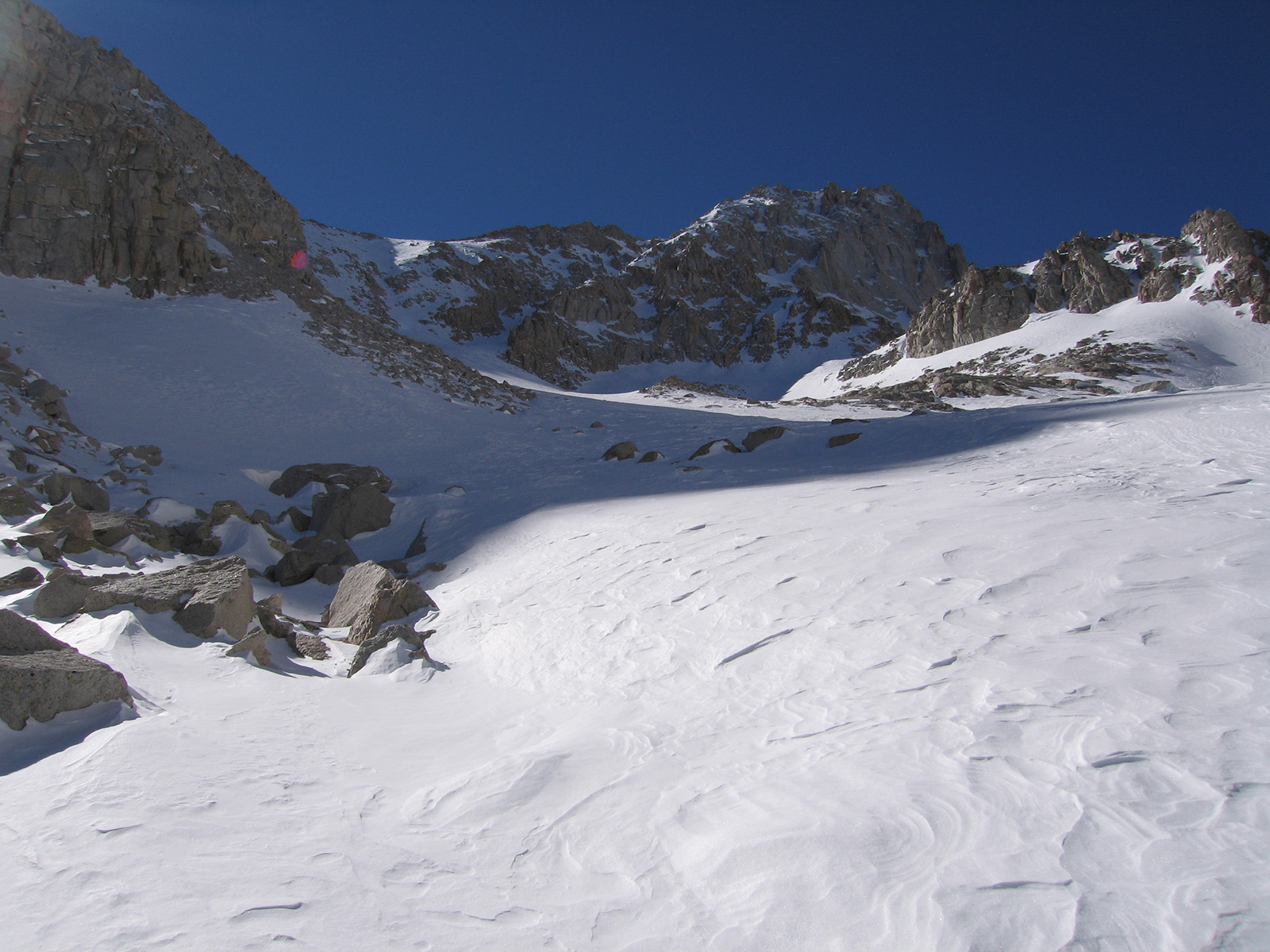
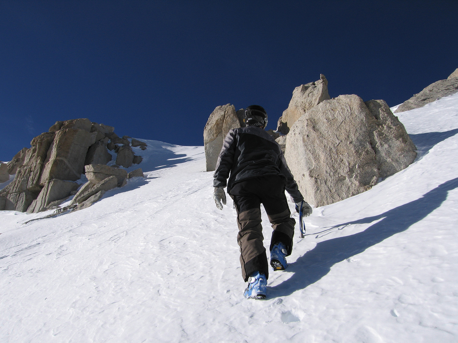
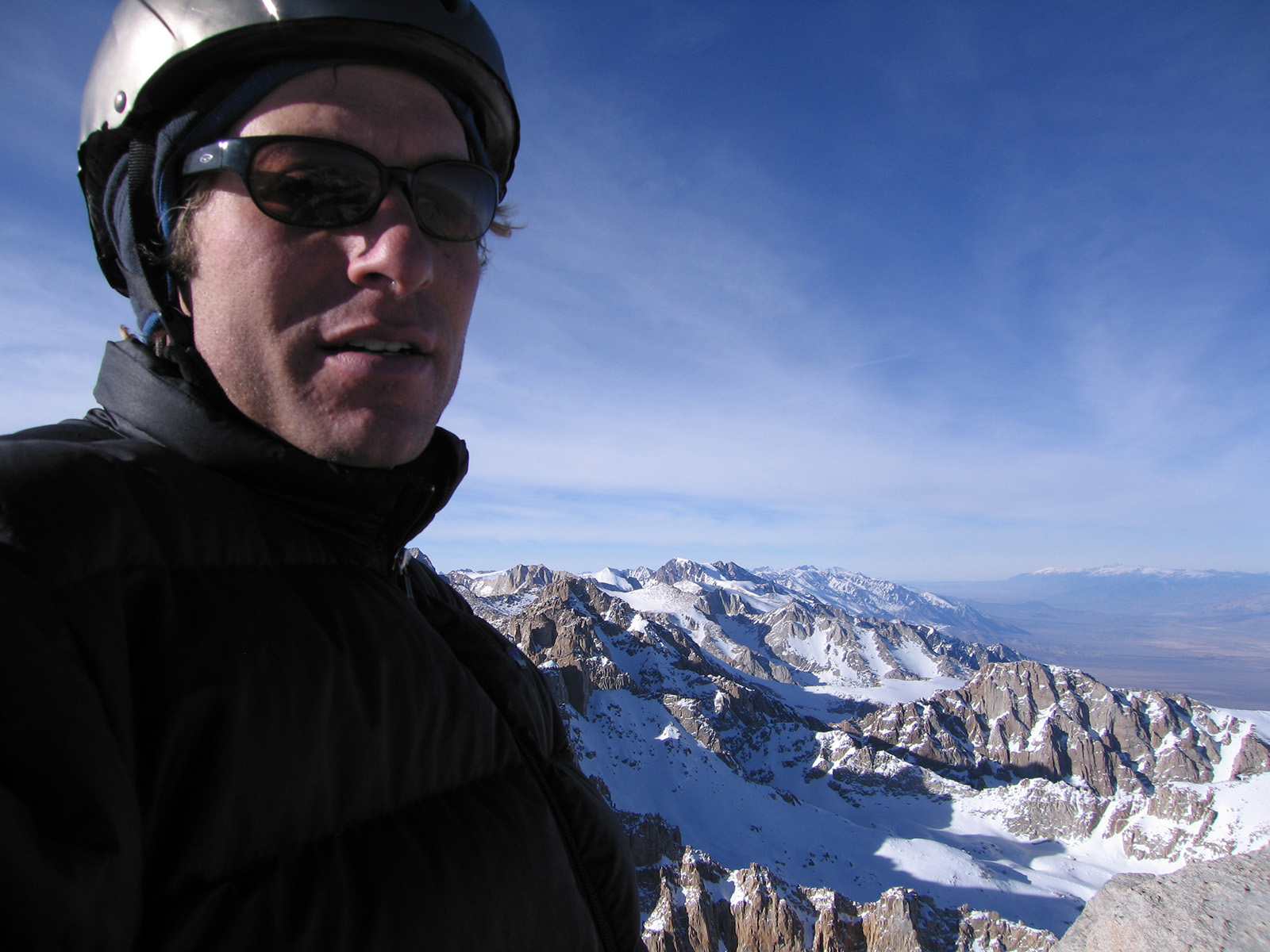
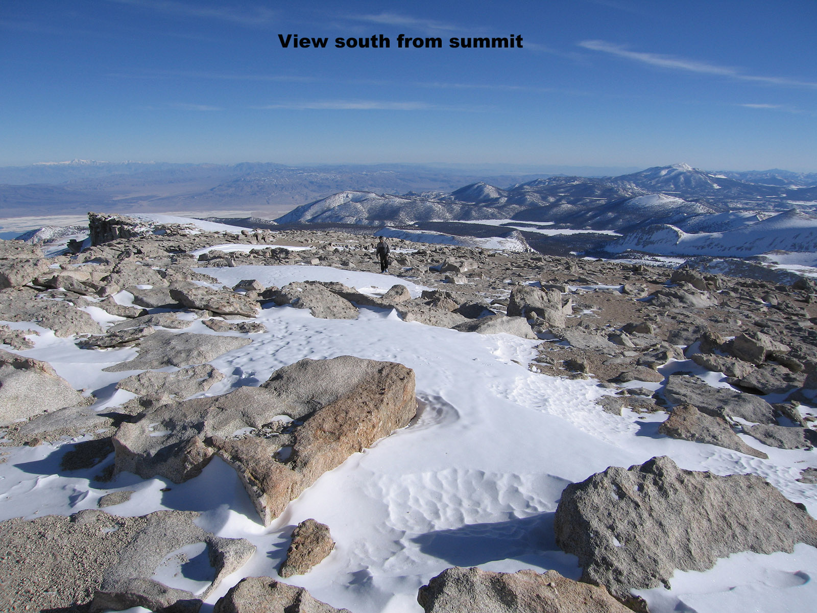
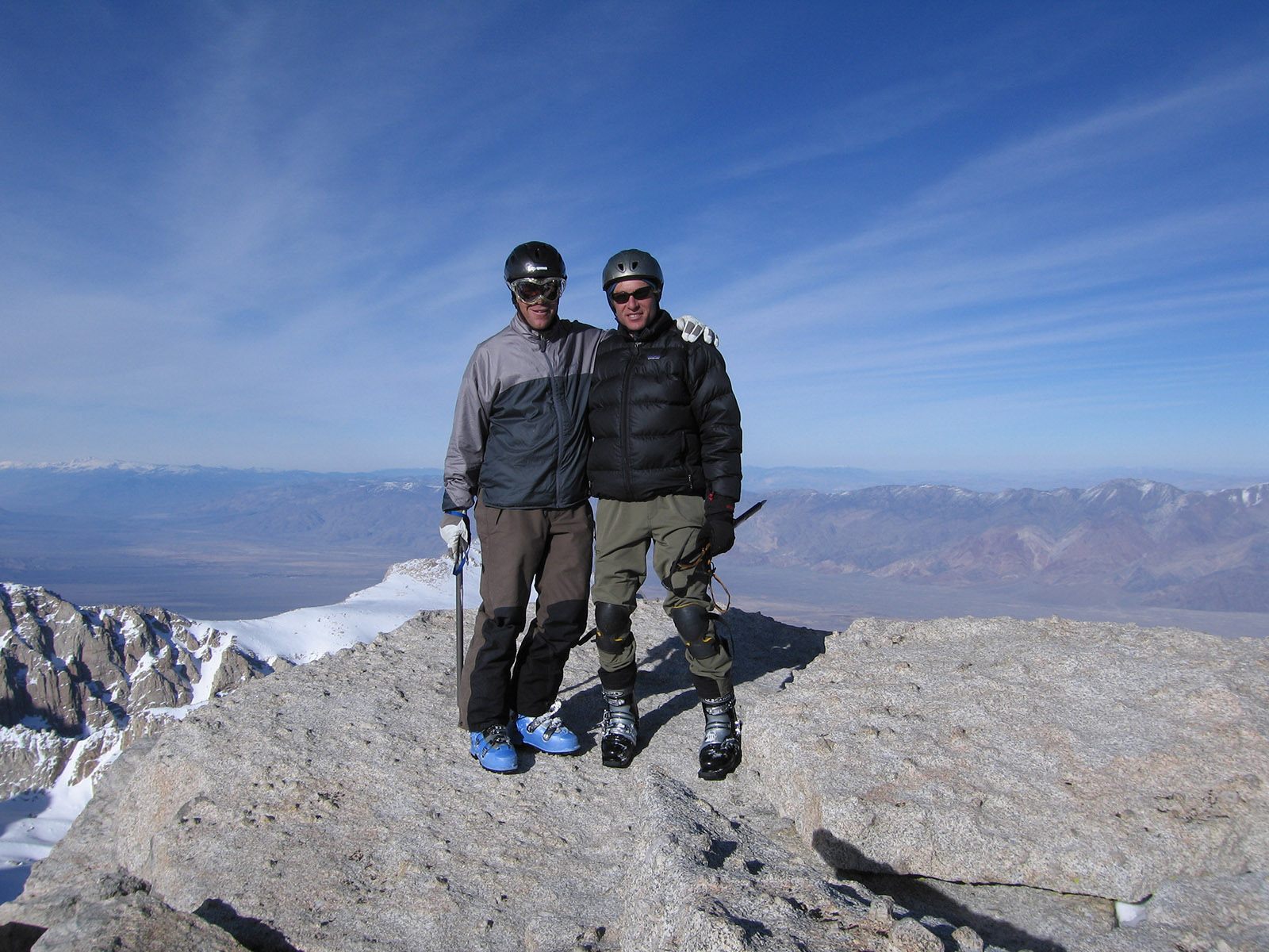
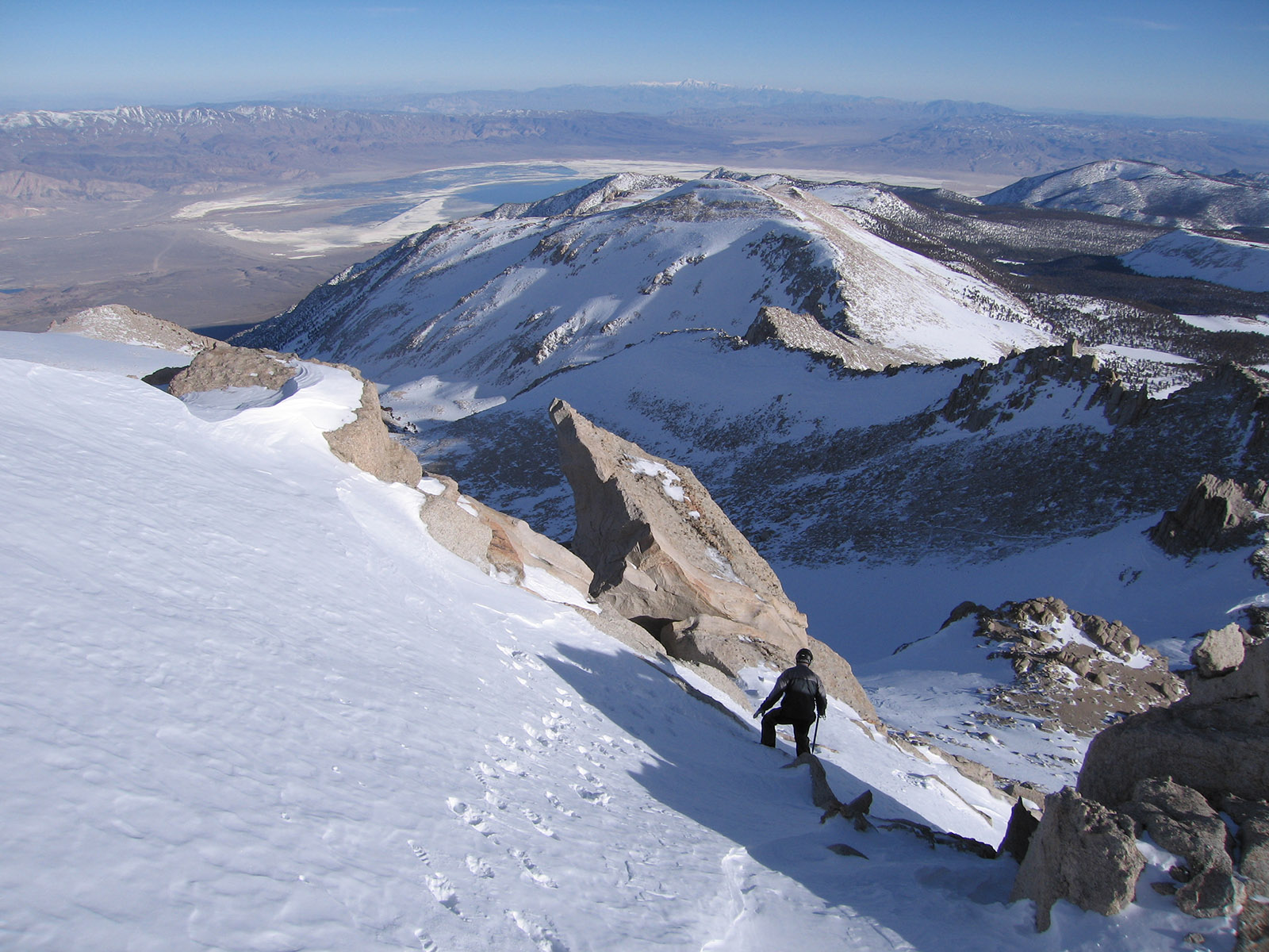
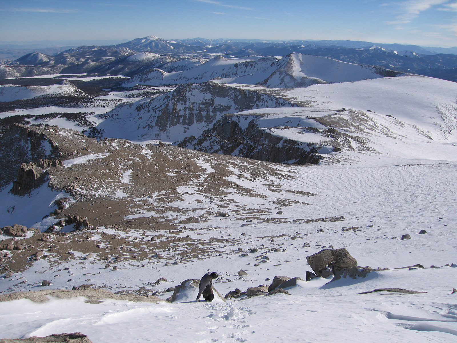
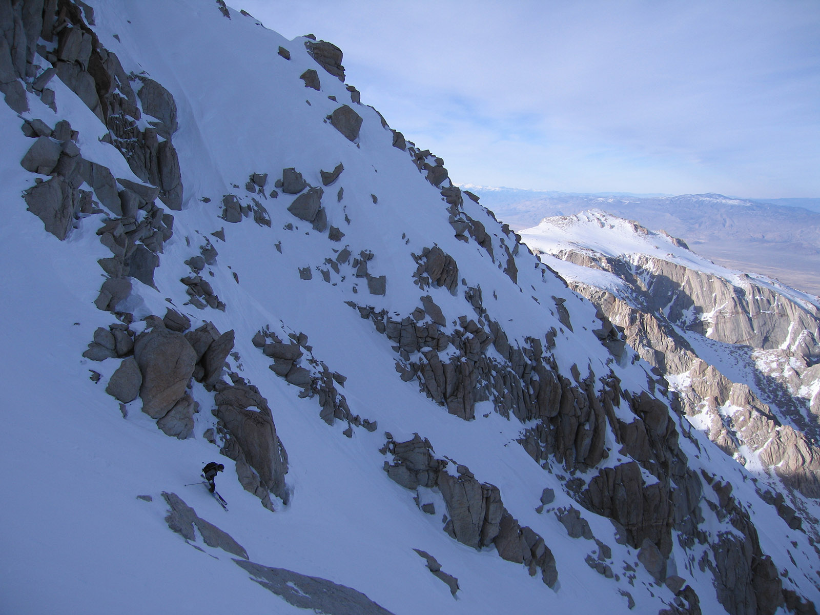
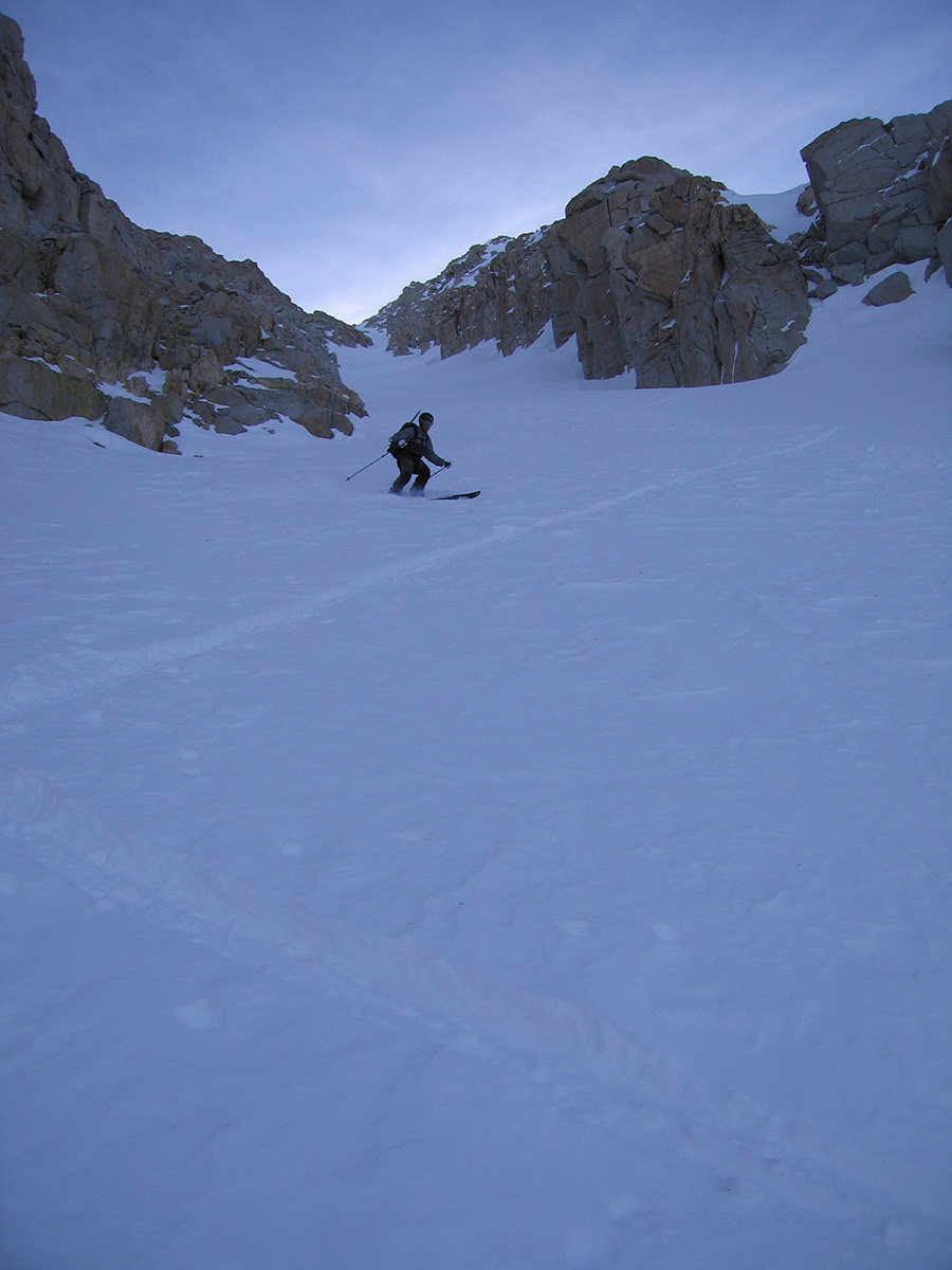
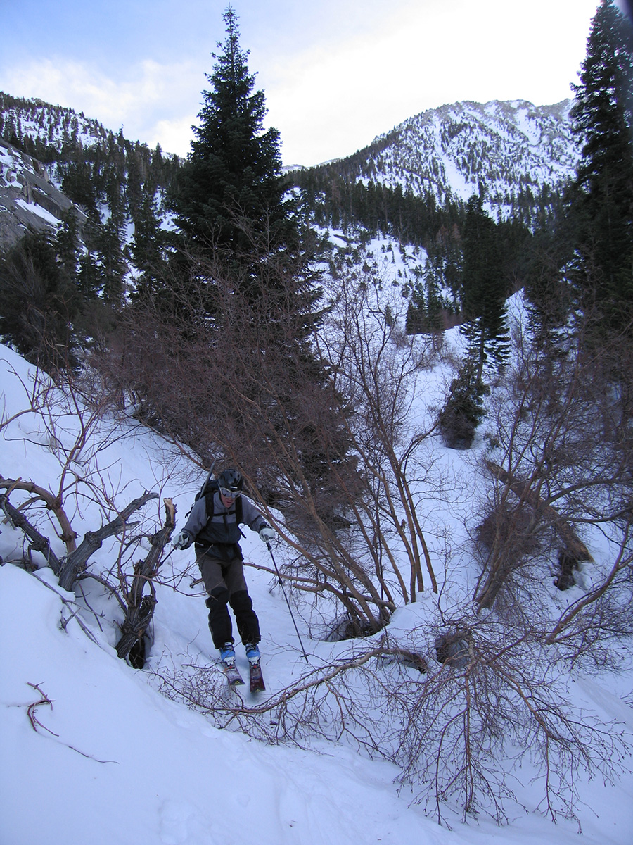
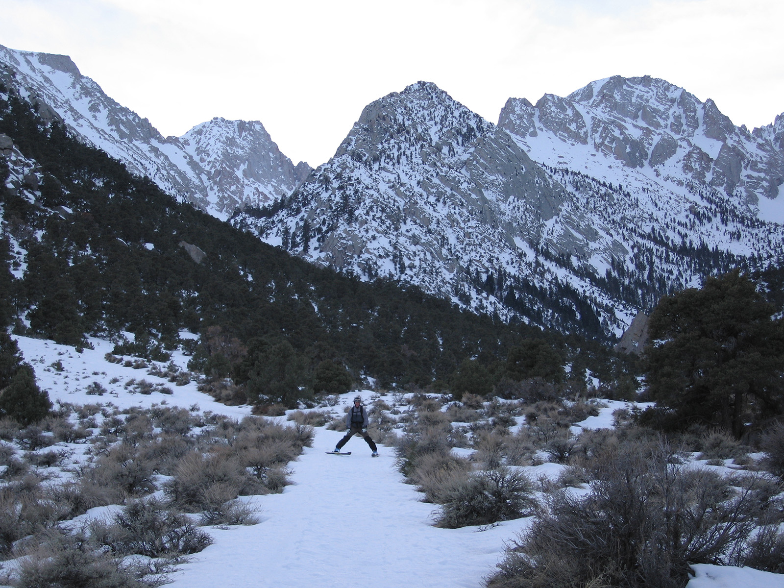
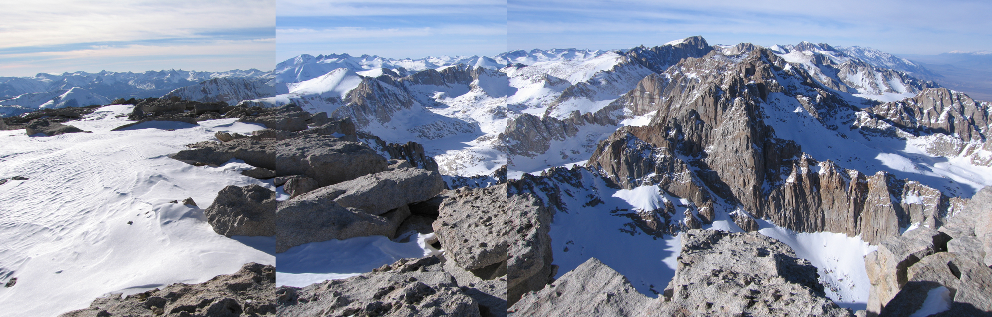
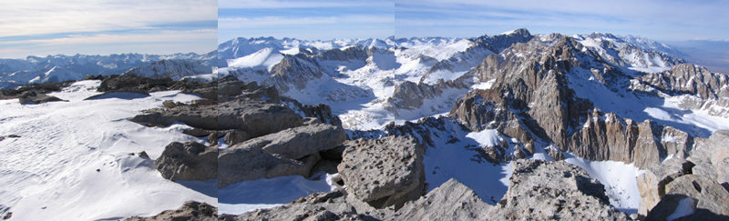
I think we skied windboard up high and down below in the canyon The summit plateau wasn’t covered enough to bring skis beyond the couloir to the summit. But it was awesome. We had the mountain all to ourselves and did ski some old shin deep pow in the couloir. I talked to John and Glenn on the phone back at the truck. They skied Mt. Williamson just a little north of us. That felt cool, for both groups of us to be on two big peaks, all alone down there. Oh, and the is a classic dork picture of me in here at the summit. It was cold, we were tired, and I just tossed my knee pads on over my ski pants. Combine that with my oversized down jacket and helmet over the hat….I don’t wear knee pads anymore. In fact, I stopped wearing them long before I quit tele. You don’t need knee pads when you parallelamark tele. Who has the energy to telemark turn after climbing a huge peak? Do you want to keep falling or just ski down the thing safely? I still loved the tele gear for parallel skiing. AT gear just wasn’t good enough yet.
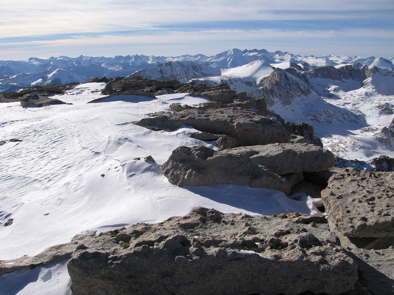
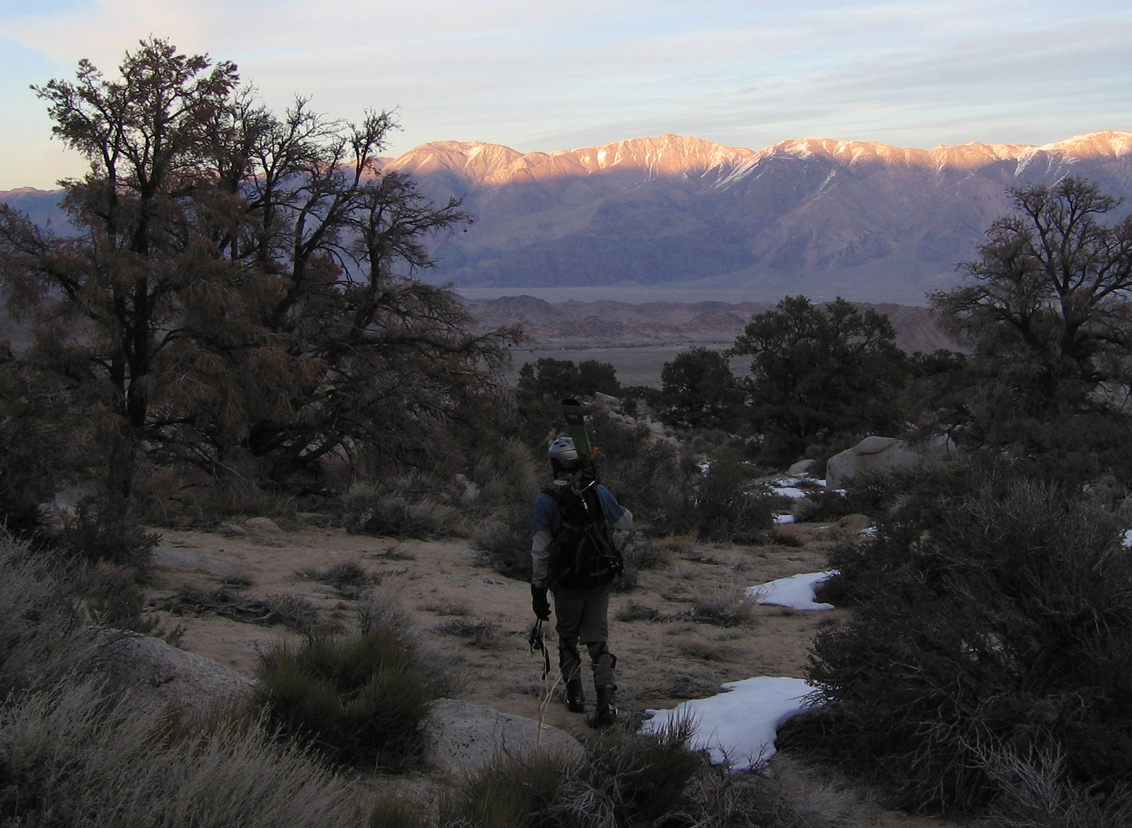
I haven’t hiked the peak in the summer, but there is a summer trail most of the way to the top.
To get there:
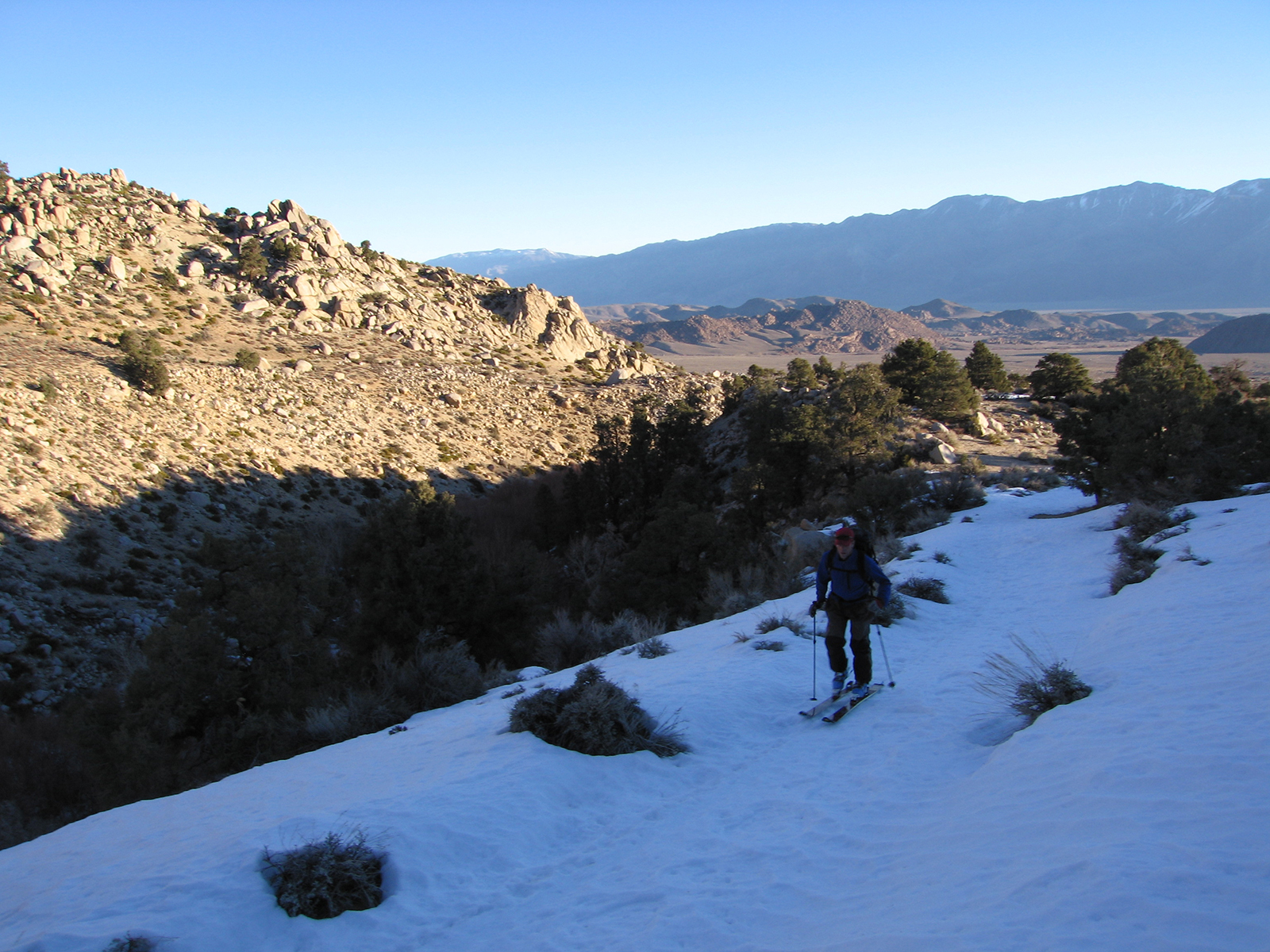
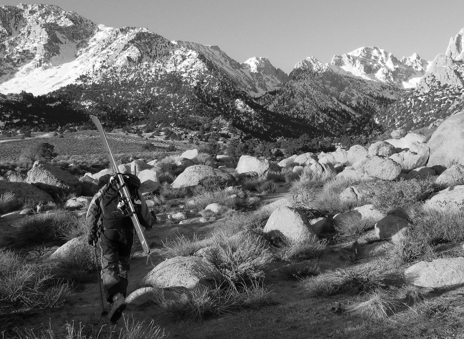
Turn west on the Whitney Portal Road from Lone Pine, CA. turn west onto Tuttle Creek Campground Road. Cross the creek and follow a dirt road towards the mountain. Park as close to the trailhead as you can and get your shit together!

Looking for awesome ski and splitboard tours in the Sierras? We’ve got write ups on many common and uncommon tours curated by the owner of the BackCountry, Mike Schwartz.


