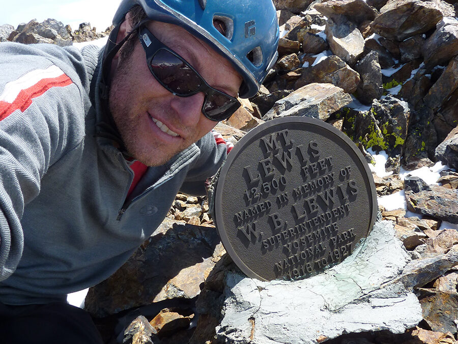
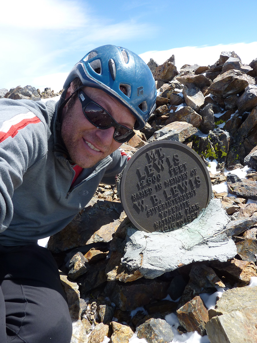
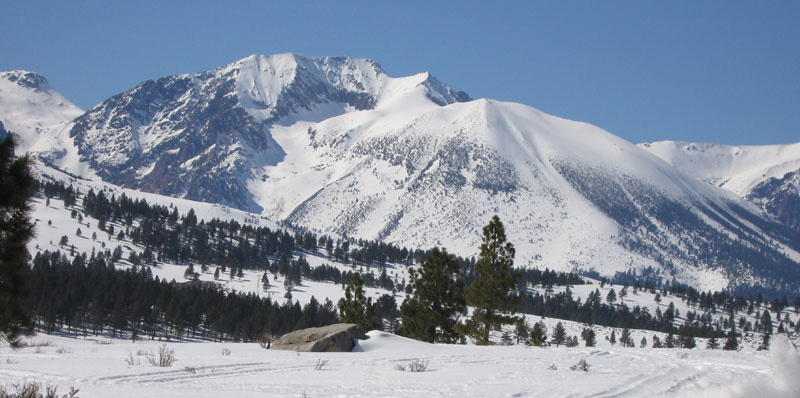
Mt. Lewis 12,342’
Elevation change – 5000’
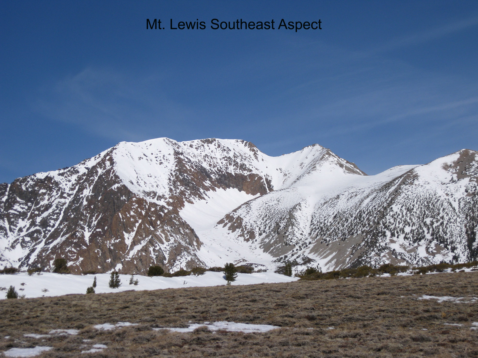
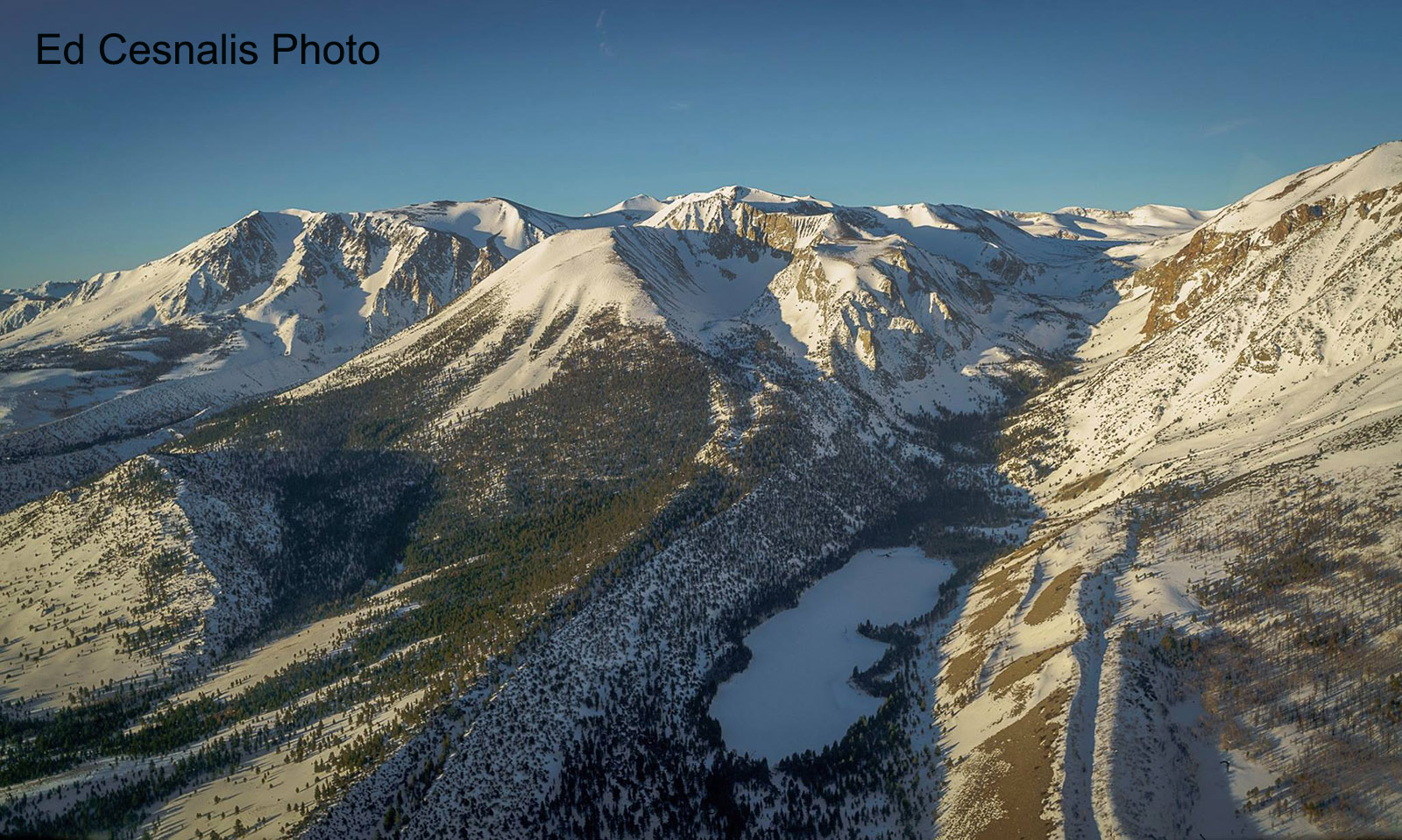
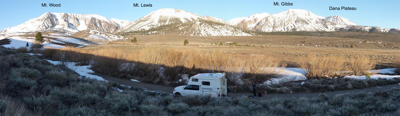
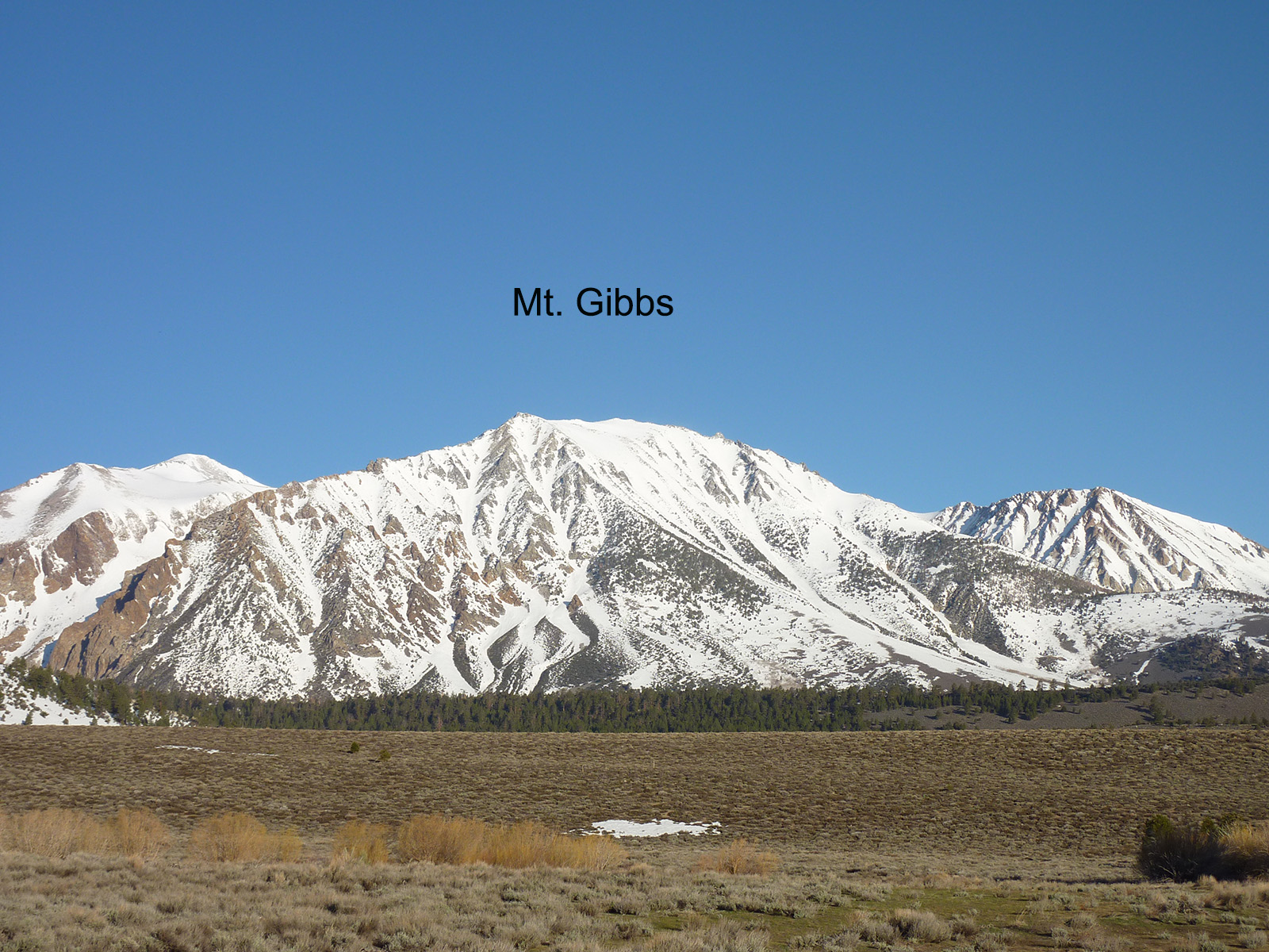
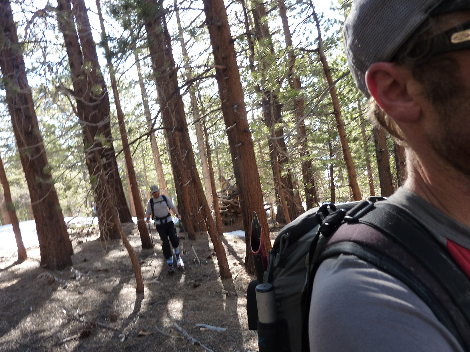
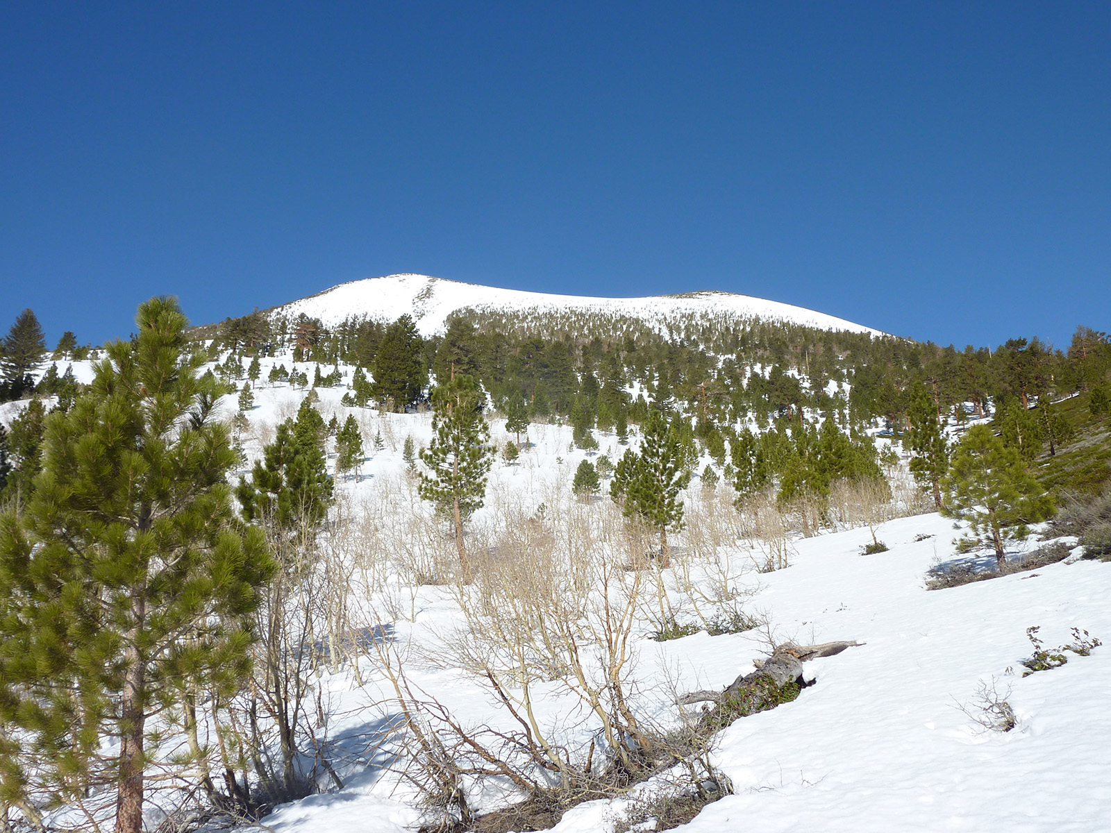
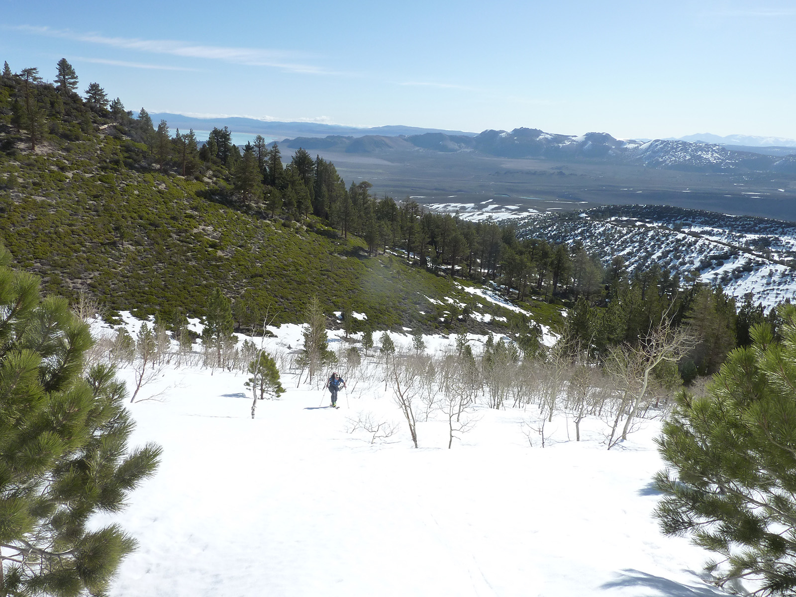
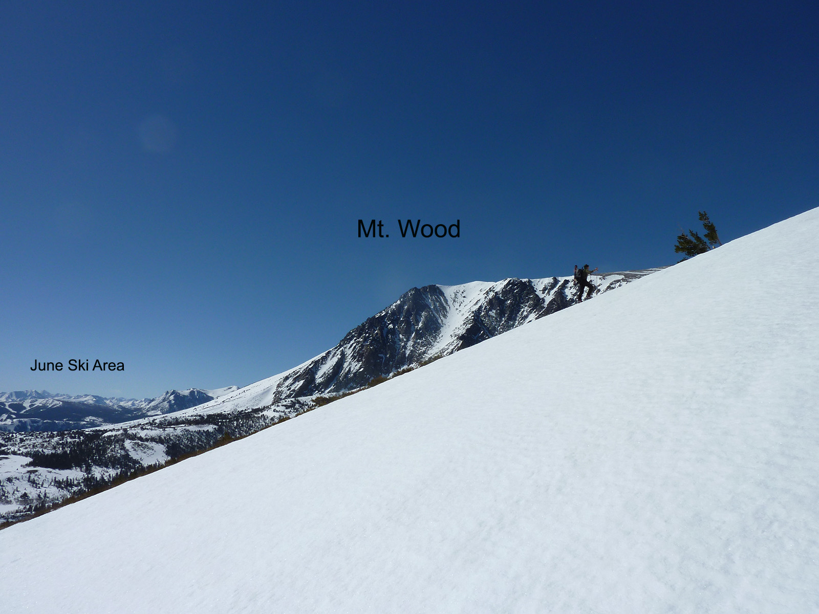
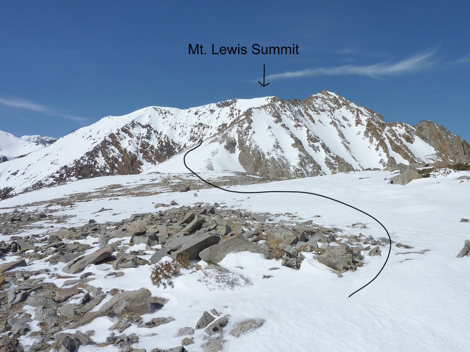
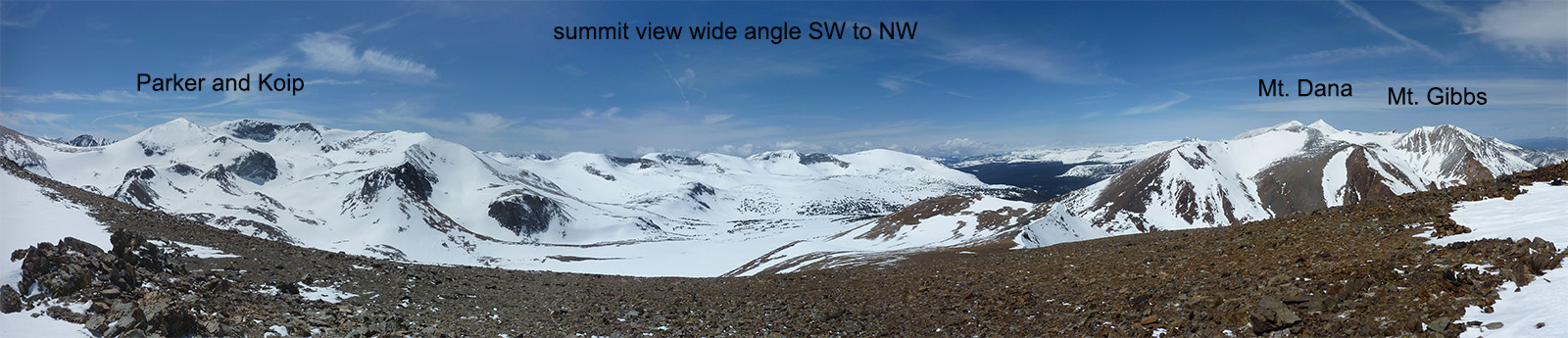
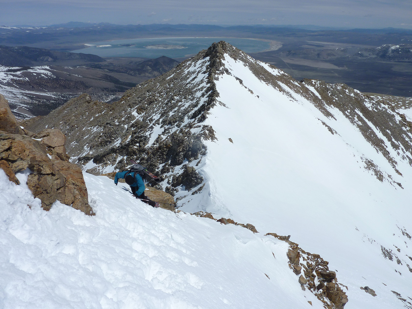
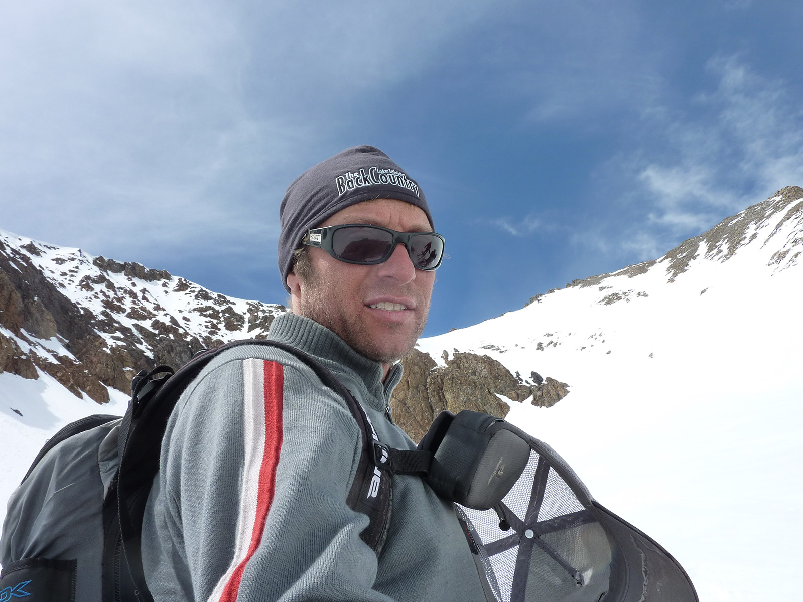
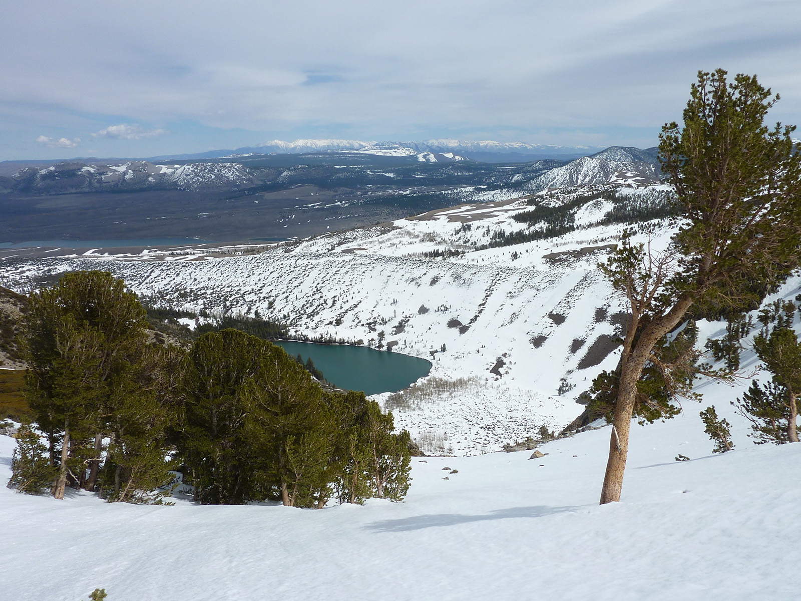
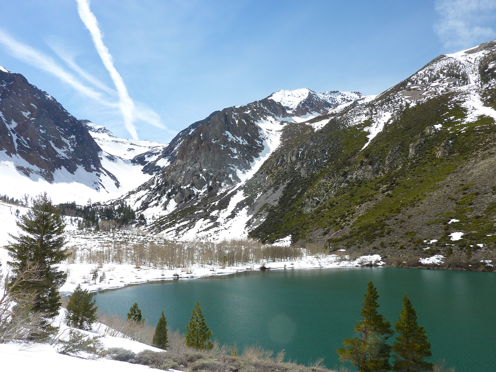
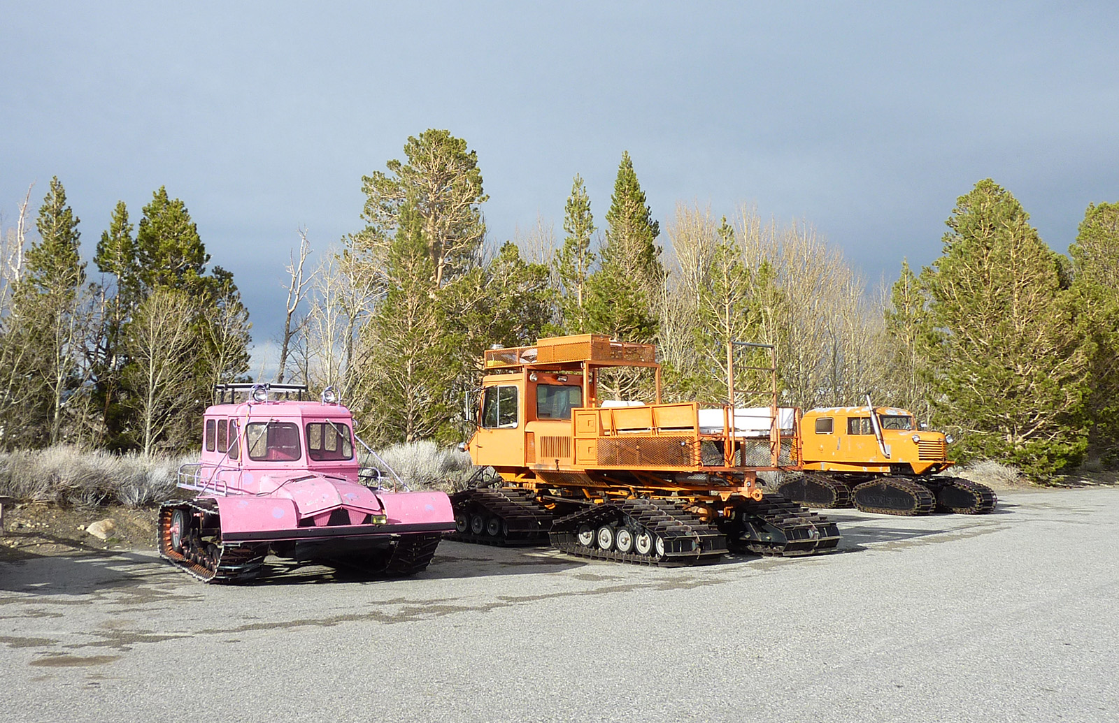
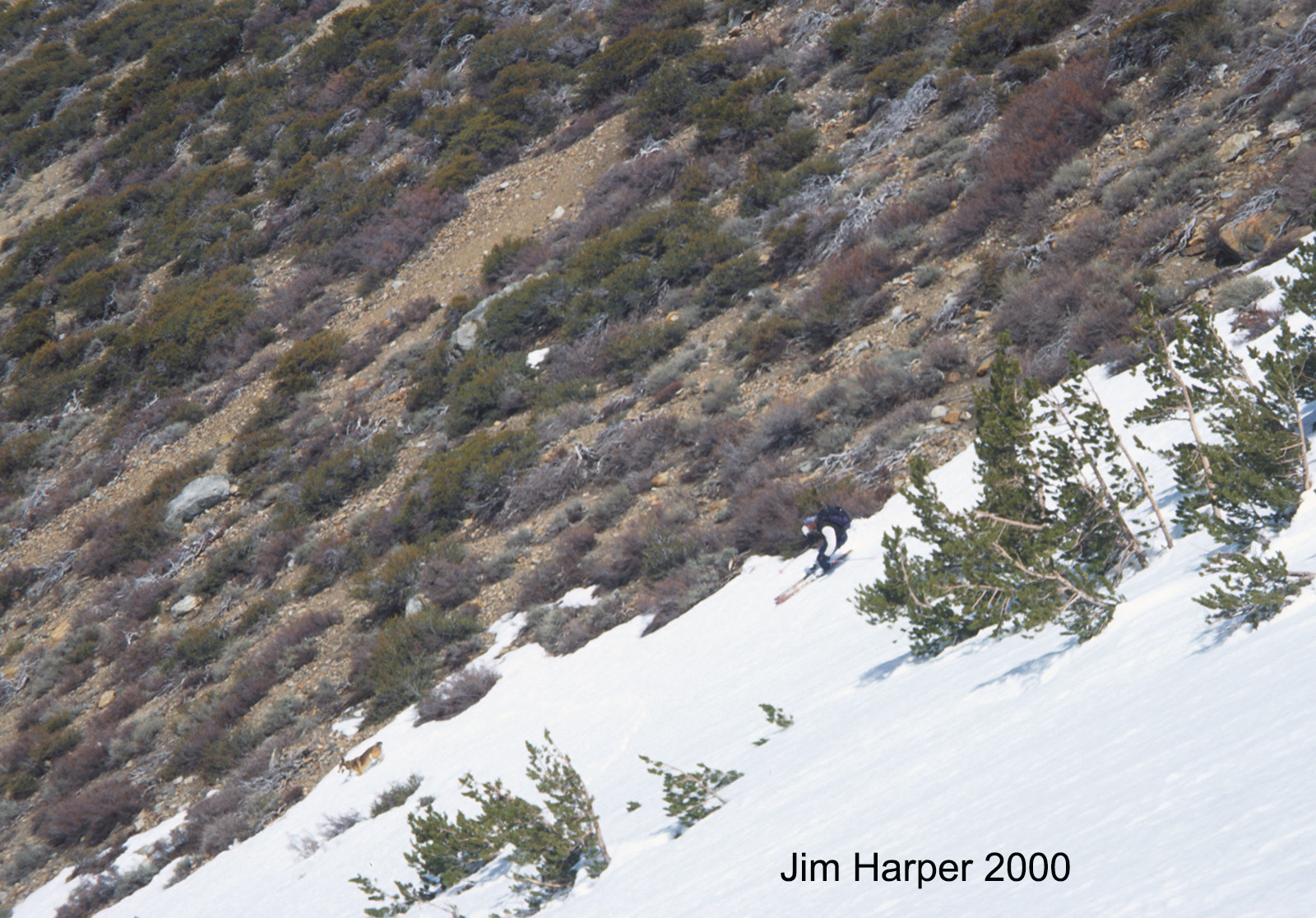
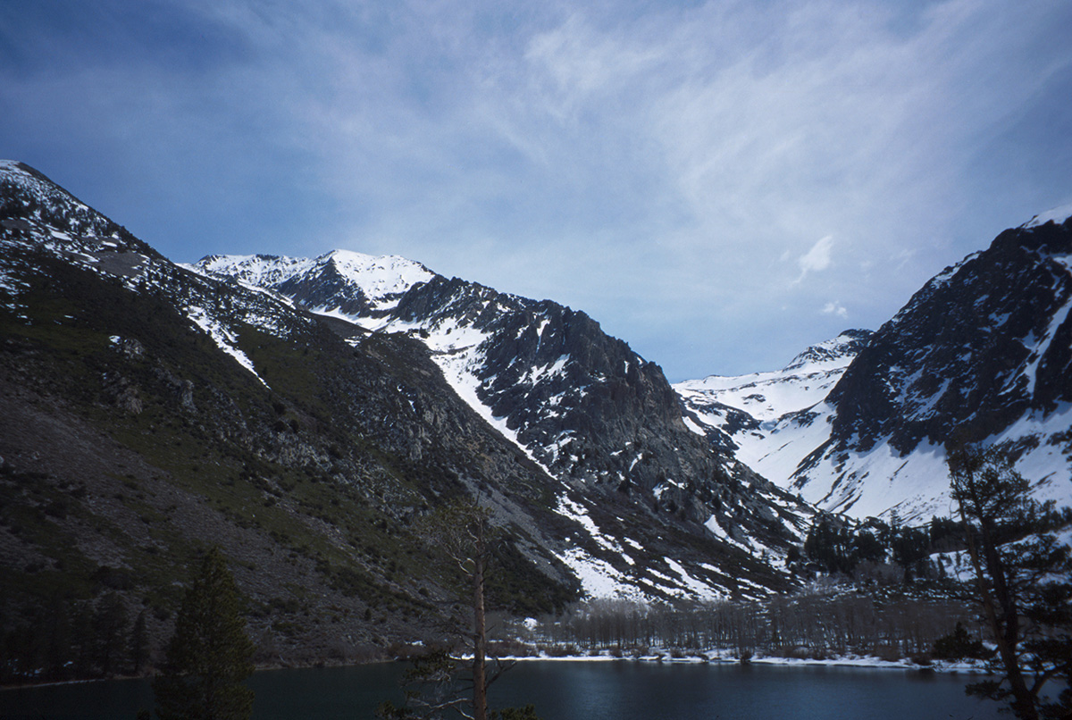
Here are a whole bunch of poor-quality shots from an exciting and fun day I had in April 2011. Kind of a greybird day, and my point and shoot camera skills had not yet been refined. I think I finally started framing proper photos when I got into I phones. Anyway, I think most people just click through my pics in a quick. In doing this, I hope my excessive number of photos might portray the snow conditions and mood of the mountain. Or if you are annoyed by some of my photo dumps, just go do the thing and send me your shots in the reply. I think Mt. Lewis is the most attractive front range peak on the East side. I never hear of anyone talking about it, nor did I have any intel of prior ascents when I first skied it with Jim Harper and Will Richardson in 2000. I’m sure we were not the first skiers to go up there while it looms so impressive above Parker Lake. This peak has been ignored due to the much more popular Mono Lake Zone mountains like Mt. Wood, Mt. Gibbs, and Mt. Dana.
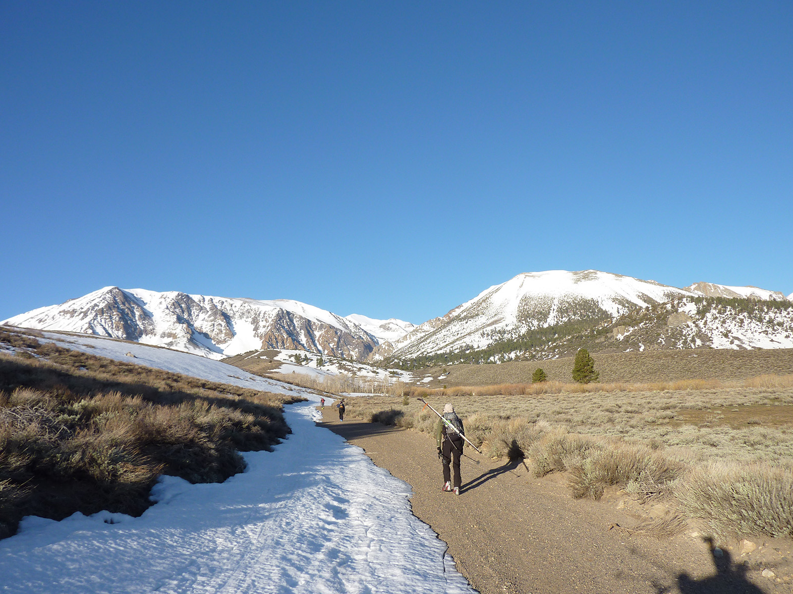
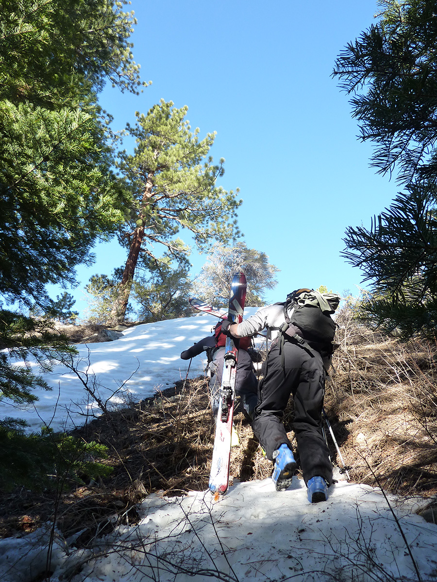
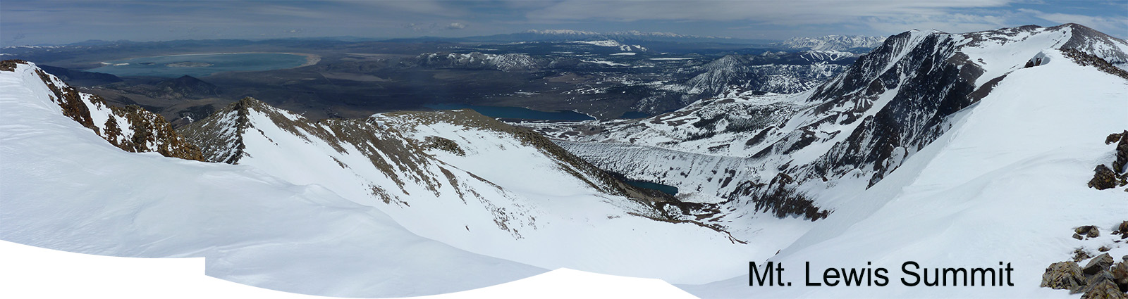
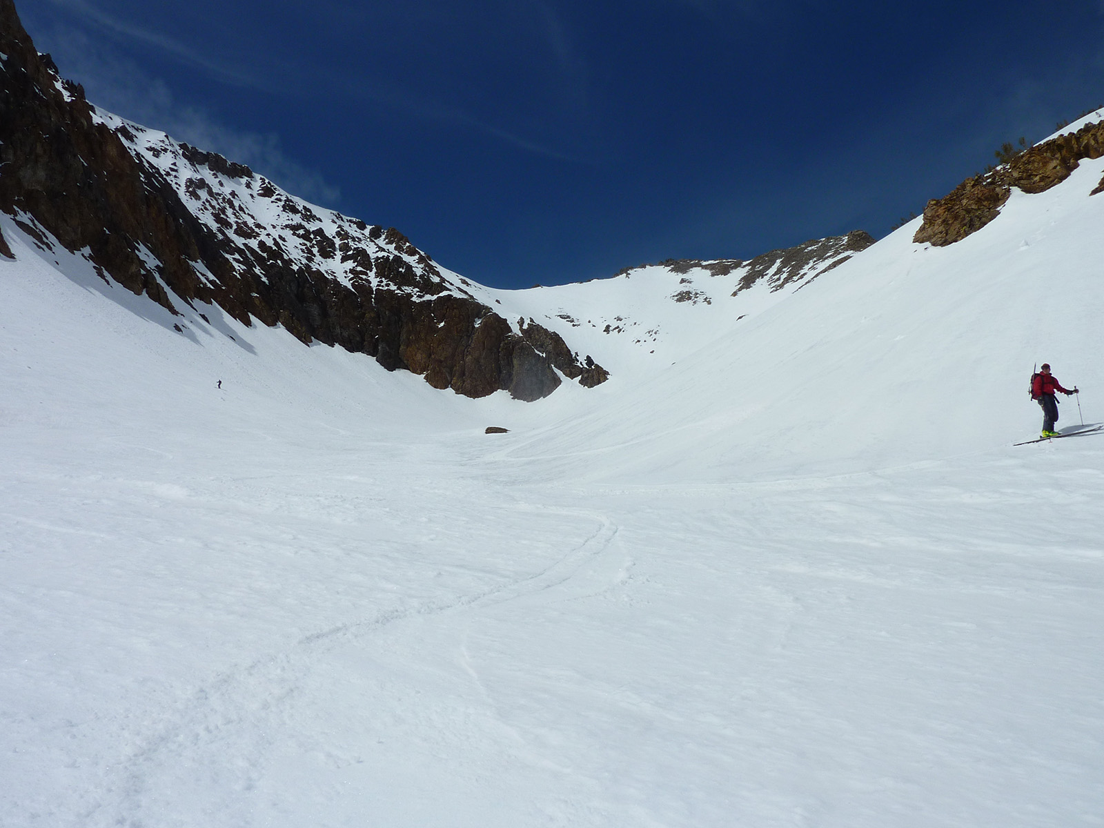
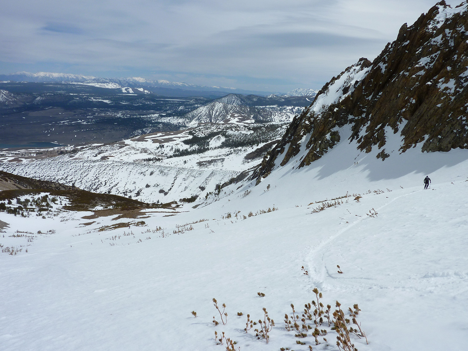
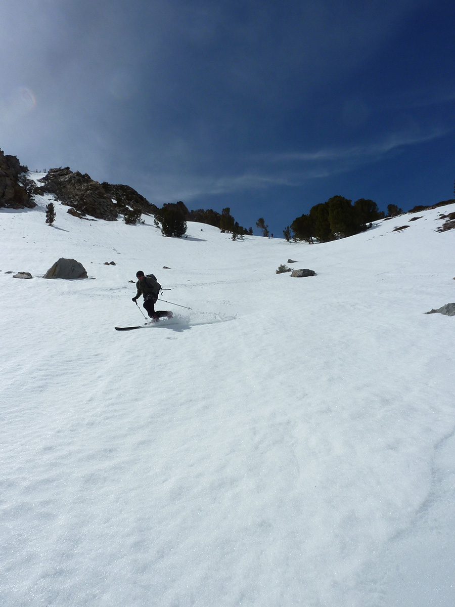
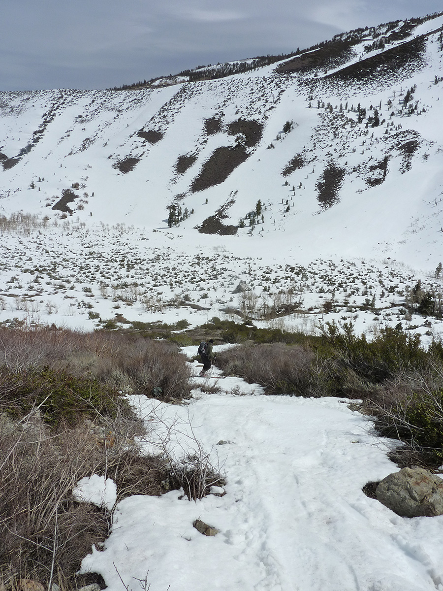
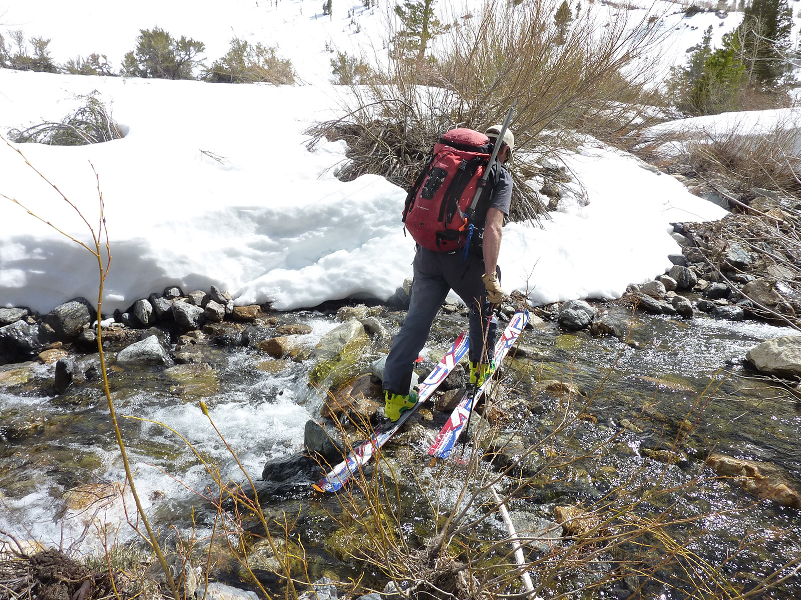
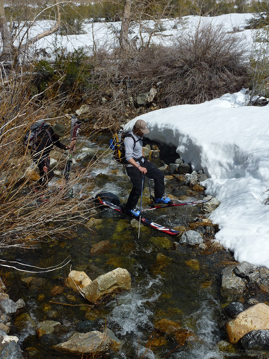
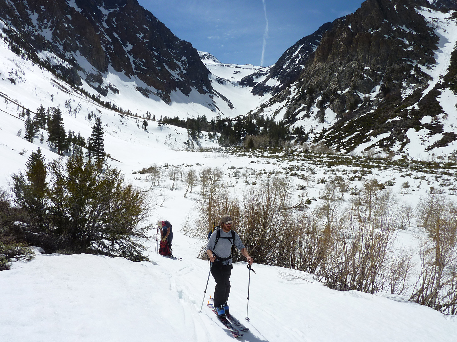
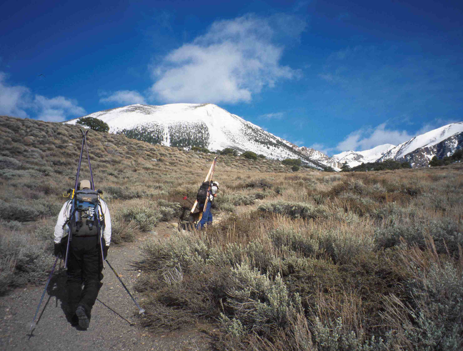
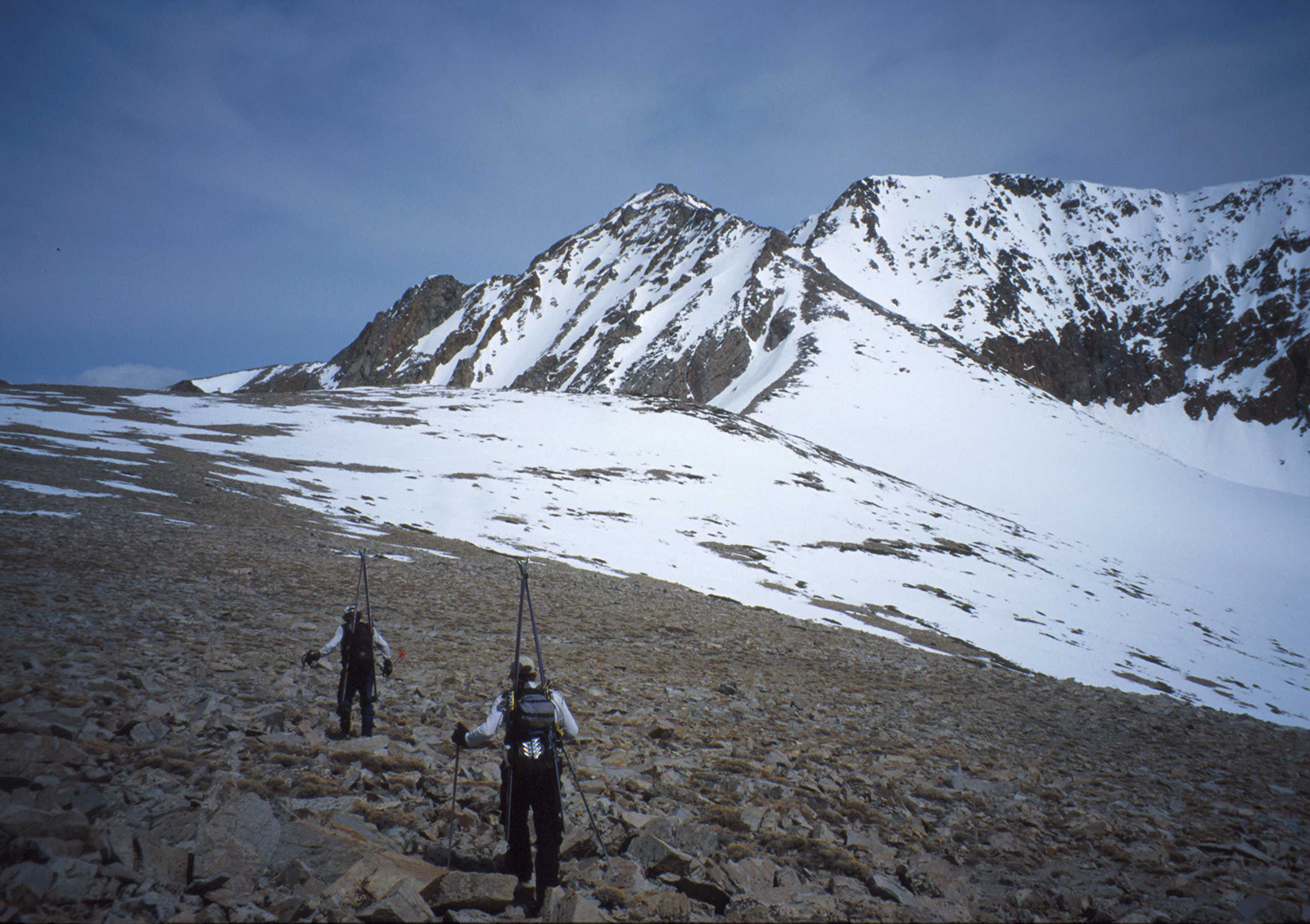
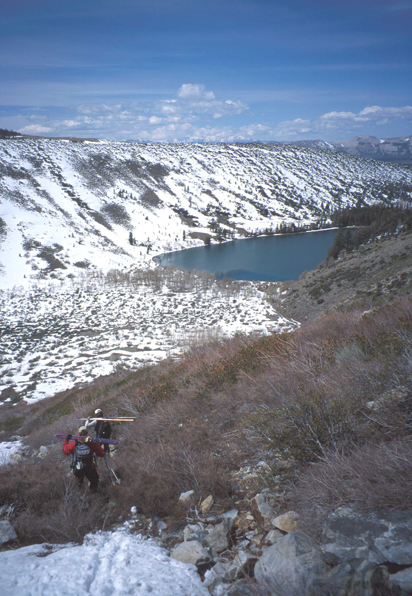
We took a B-Line skinning toward the peak from the Parker Lake Access Road, which is what I did back in 2000 with Jim and Will. I tossed some pictures from that day in here too. The point of skiing Mt. Lewis to me, is to get in that huge S shaped canyon. It sure looks like it was carved by a glacier. I guess you could climb the peak by that route, but it would be longer than ascending the East ridge. We chose to do a counterclockwise loop and glide out the canyon. You don’t really glide at the end though, it’s pretty flat for a few miles.
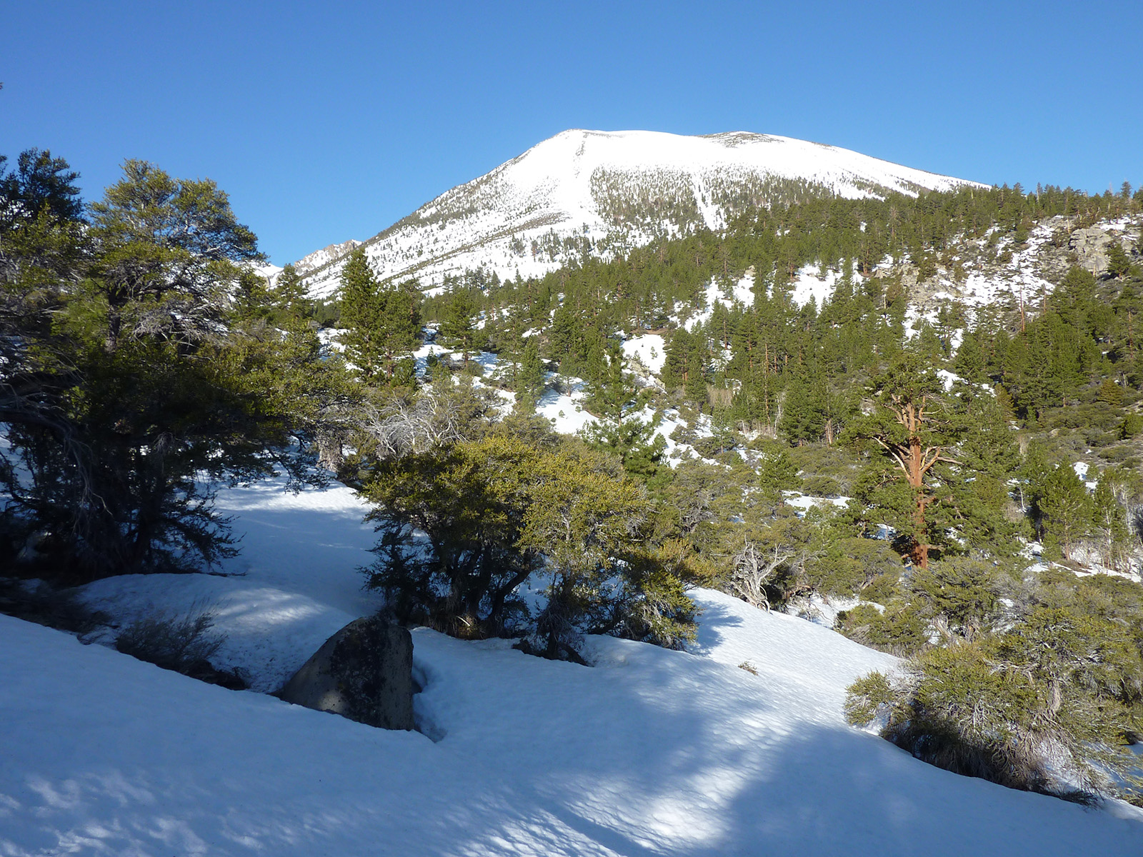
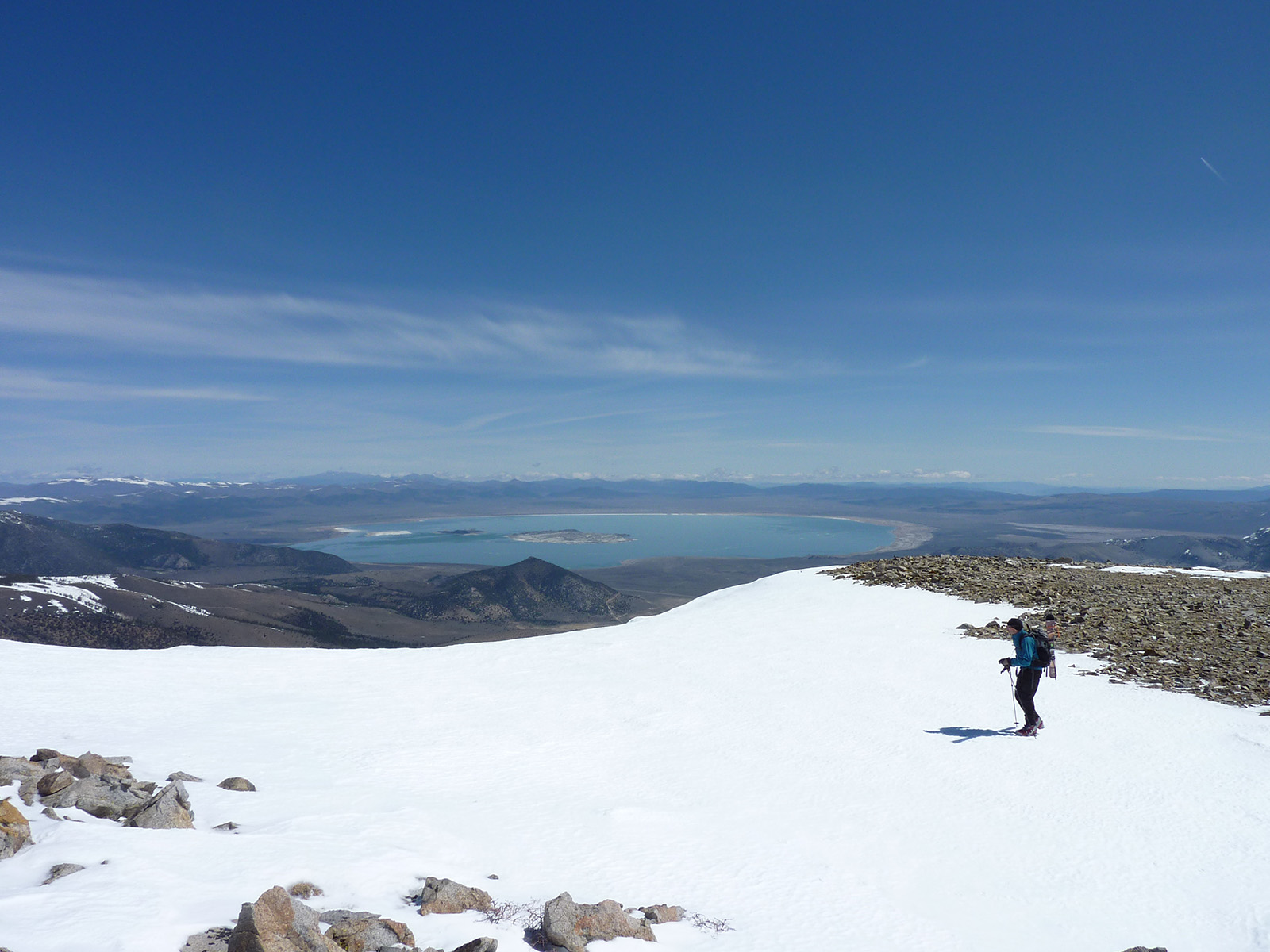
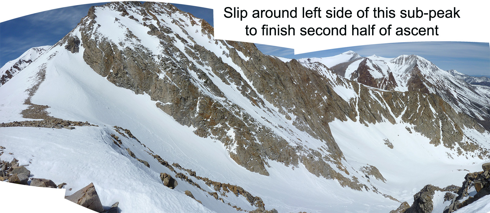
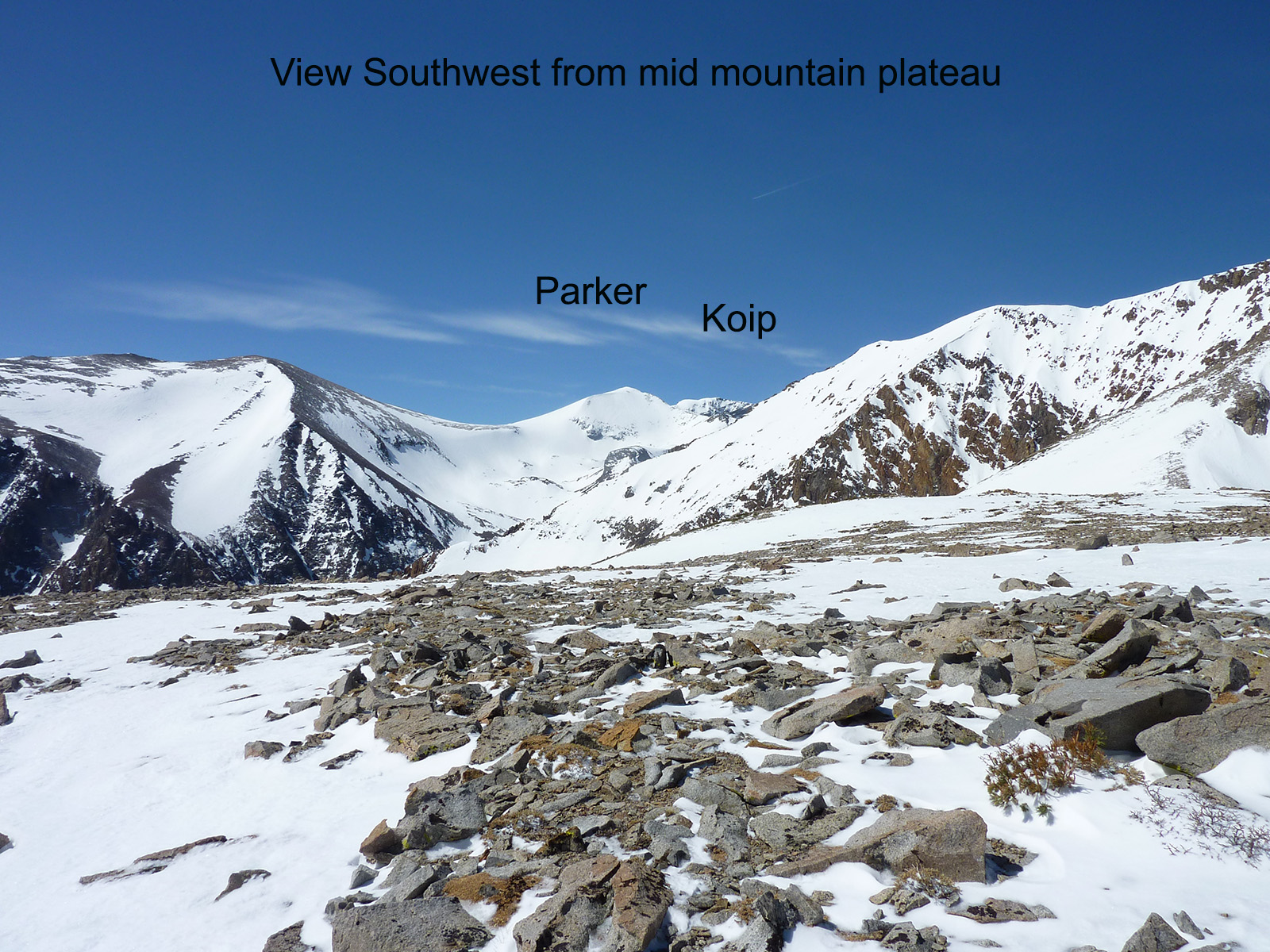
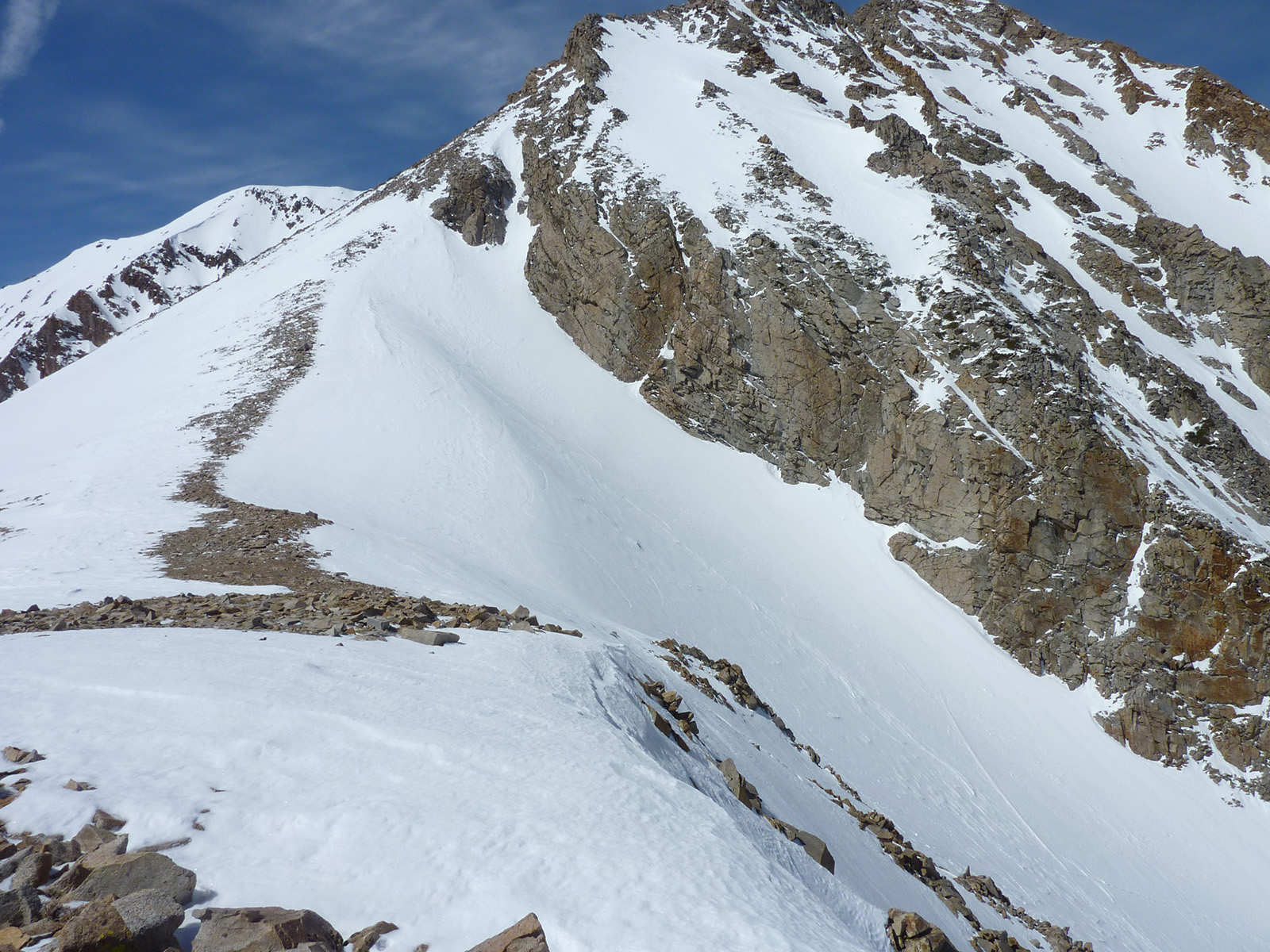
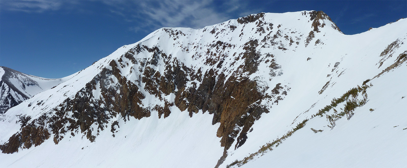
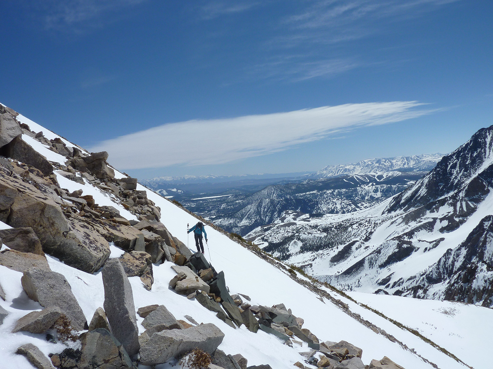
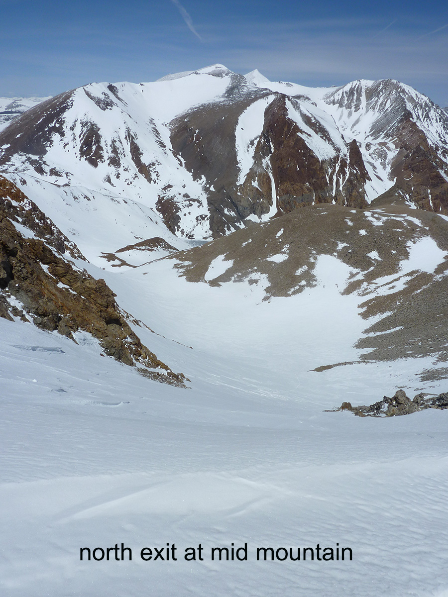
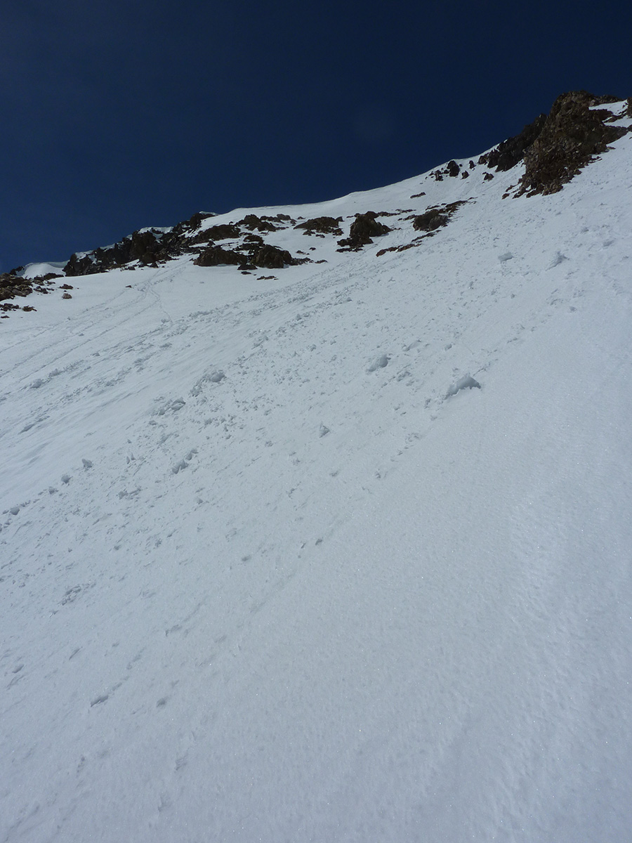
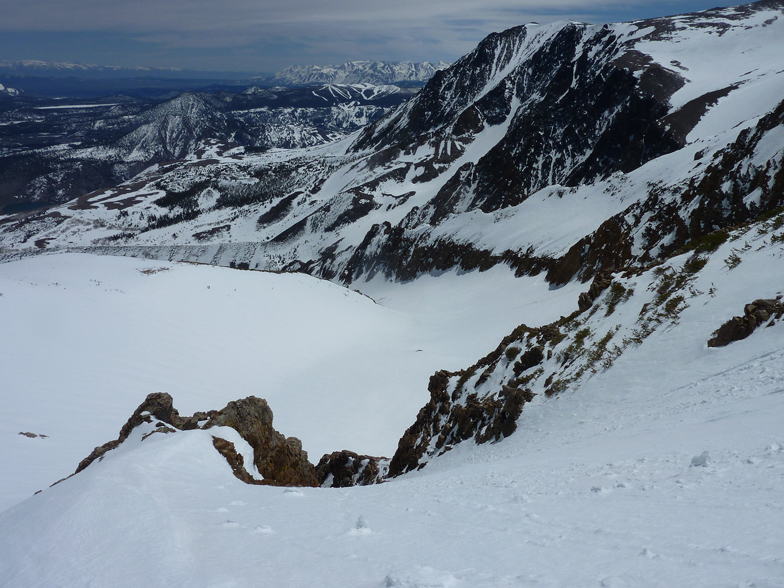
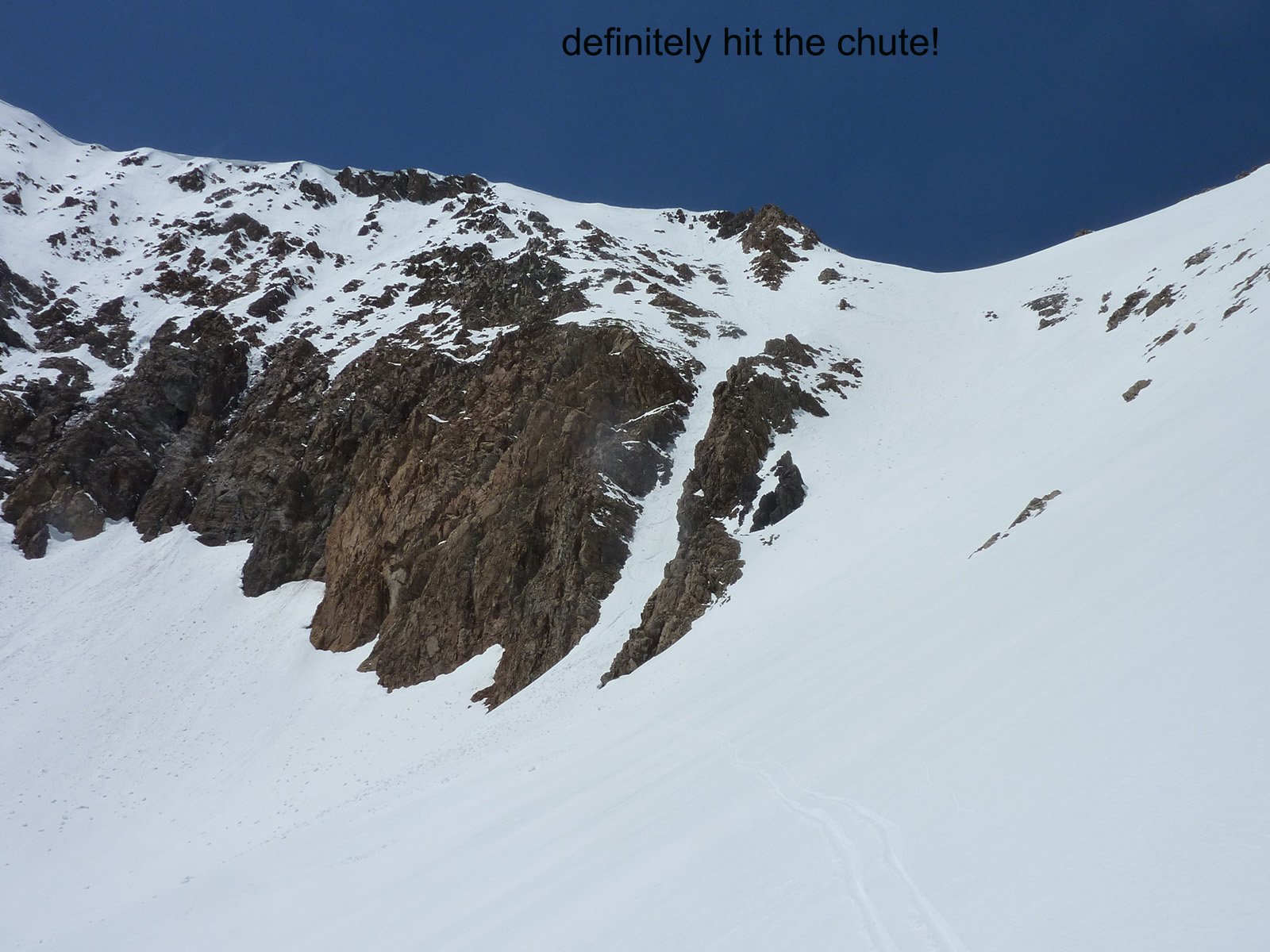
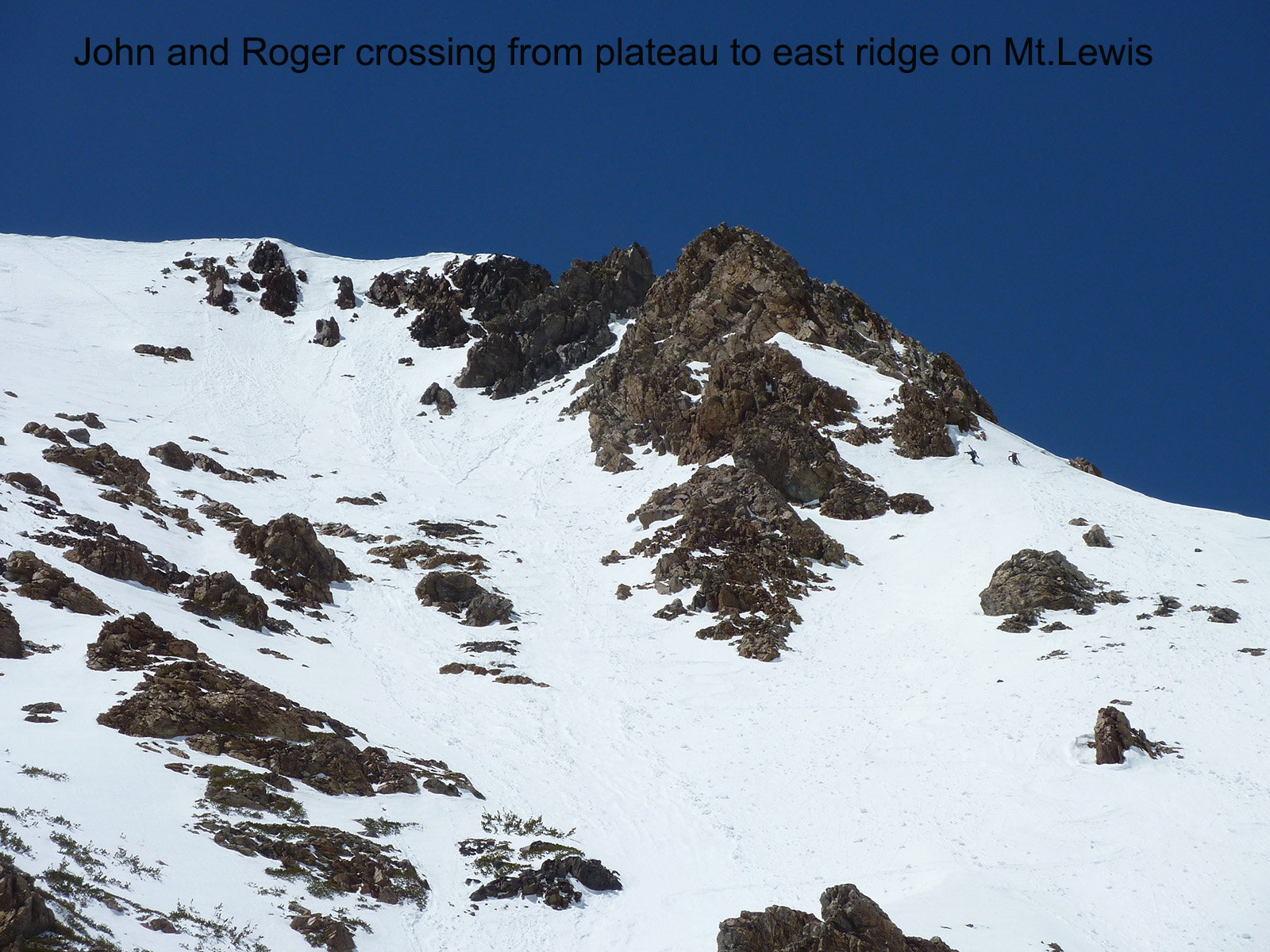
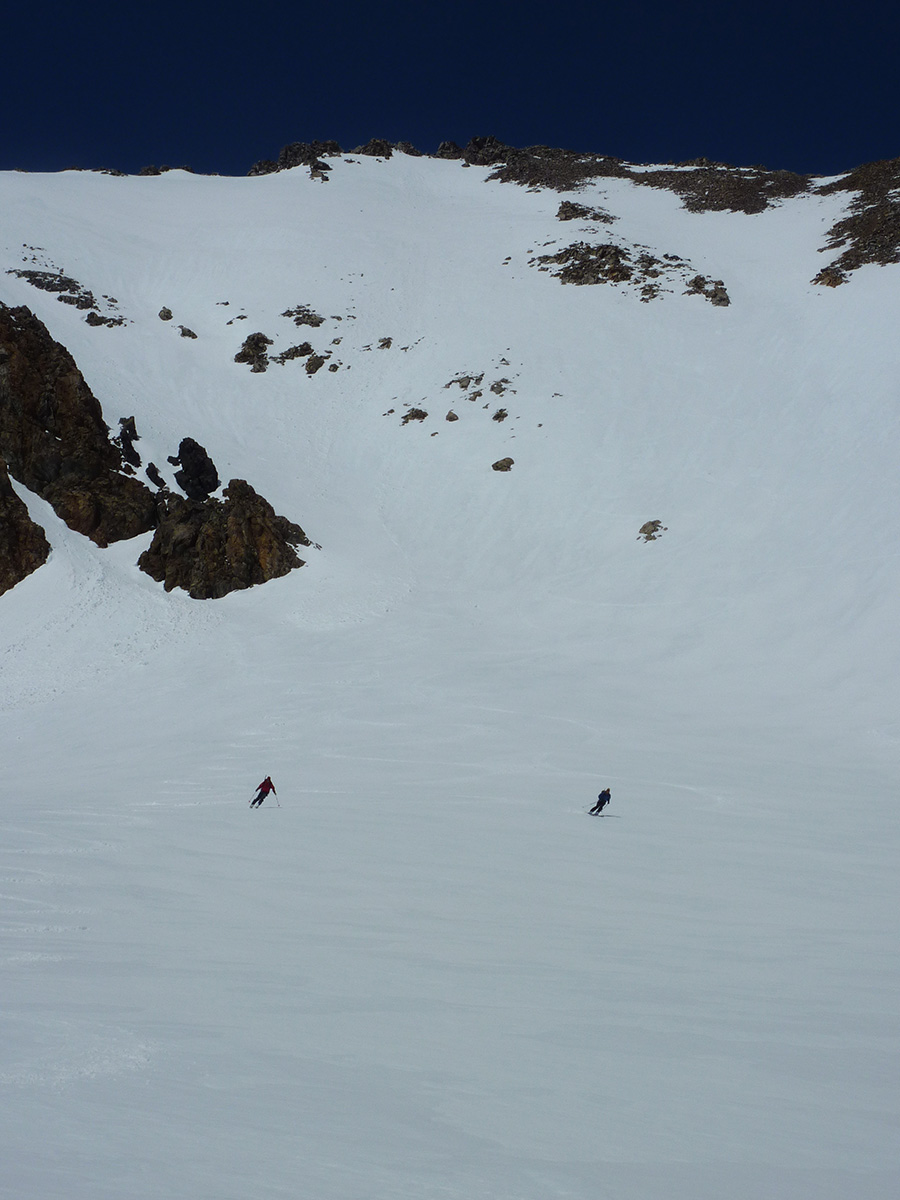
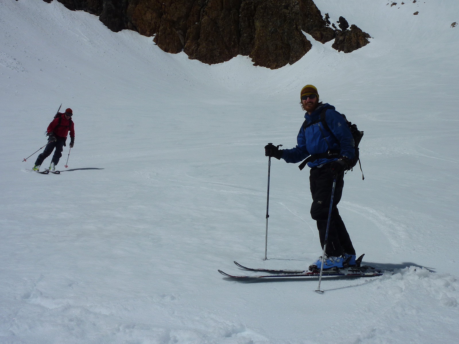
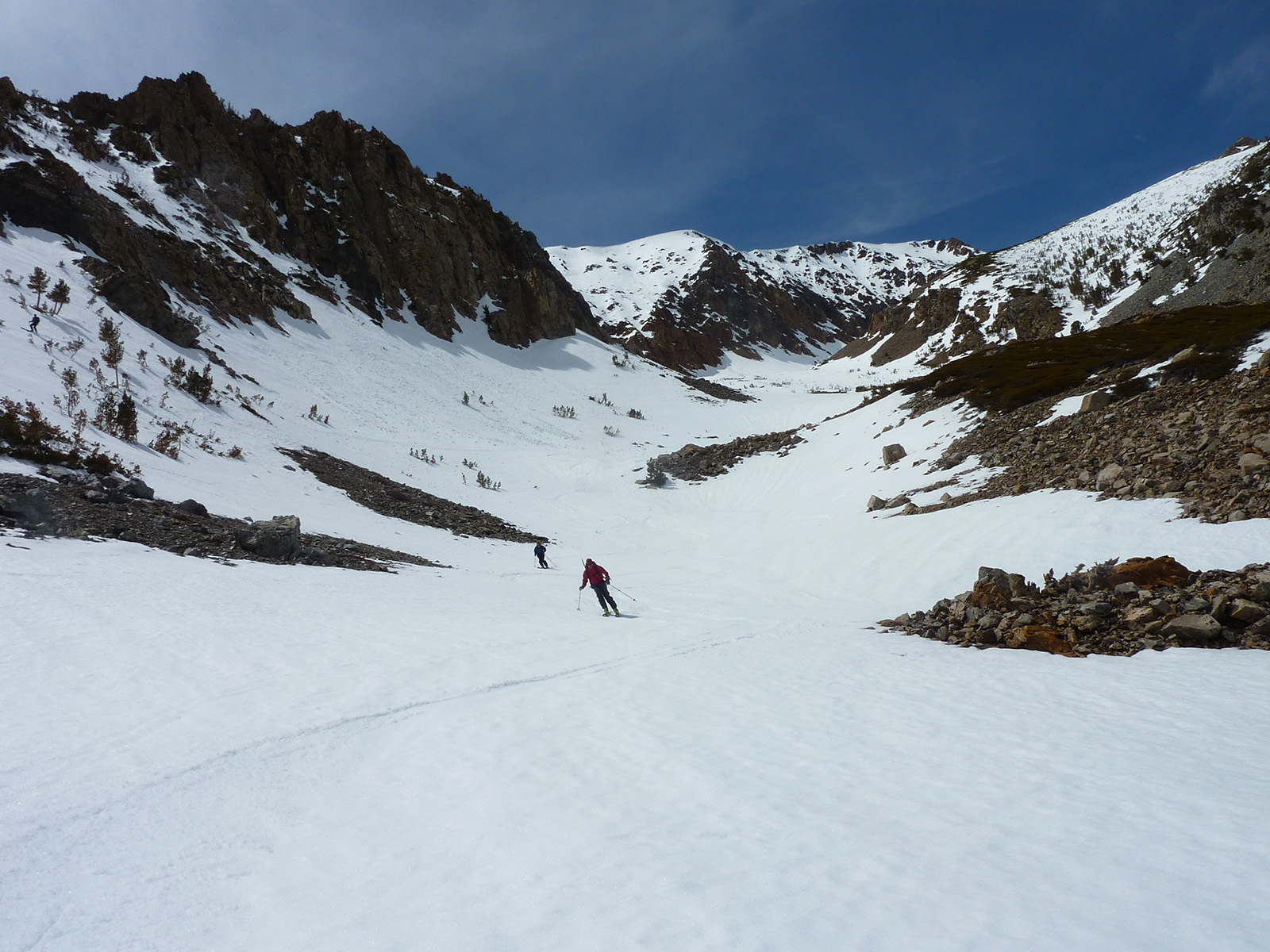
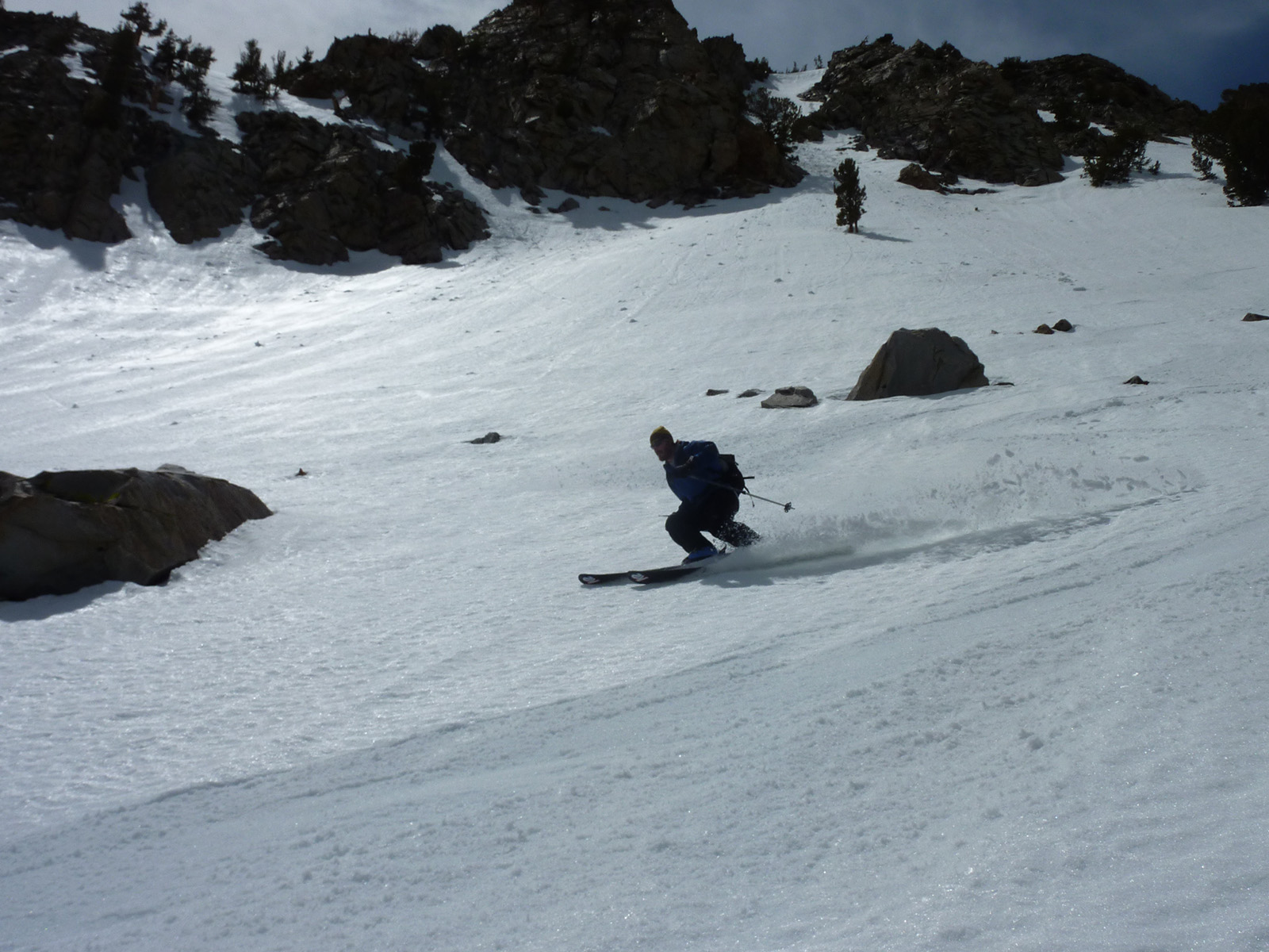
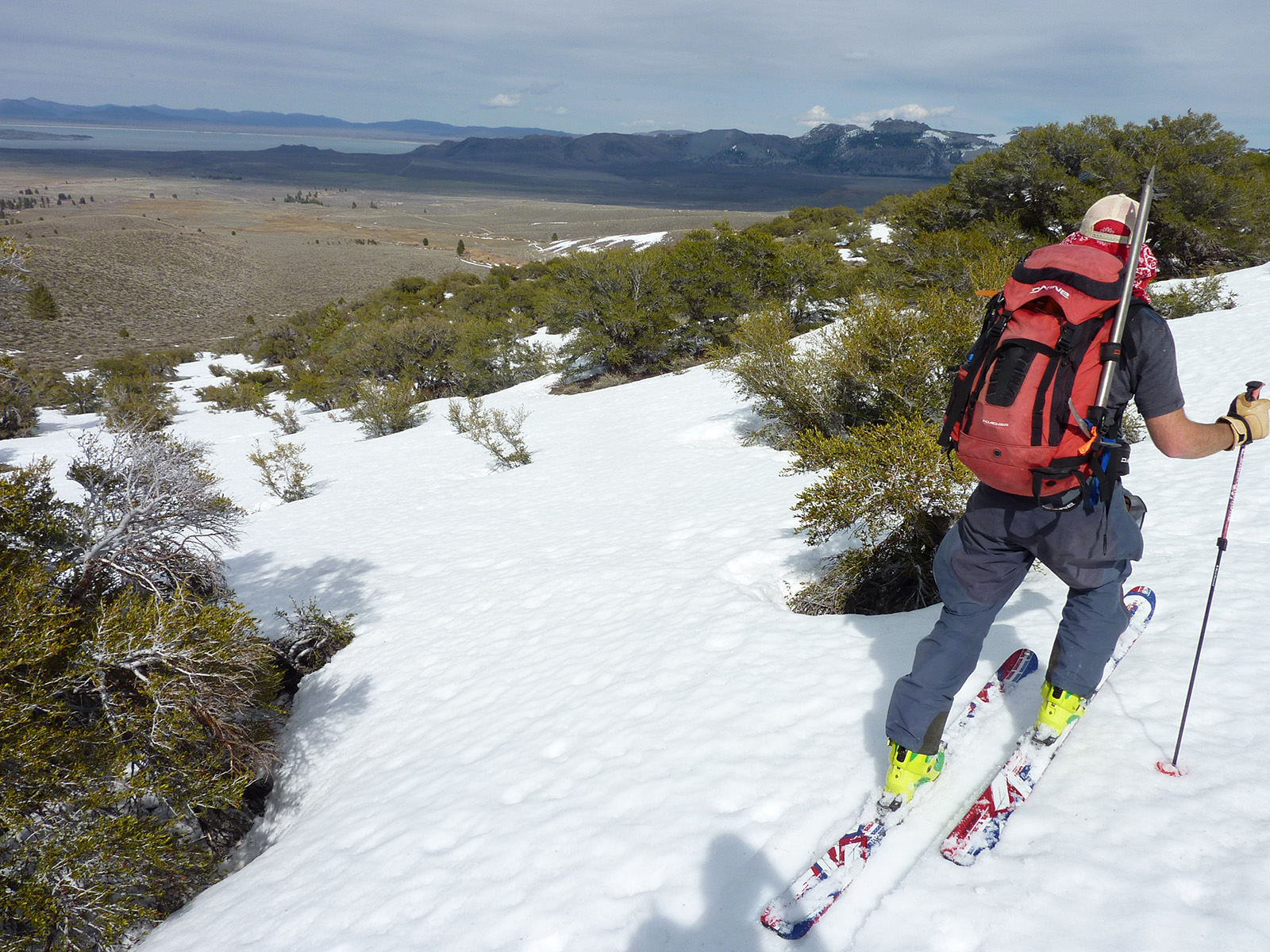
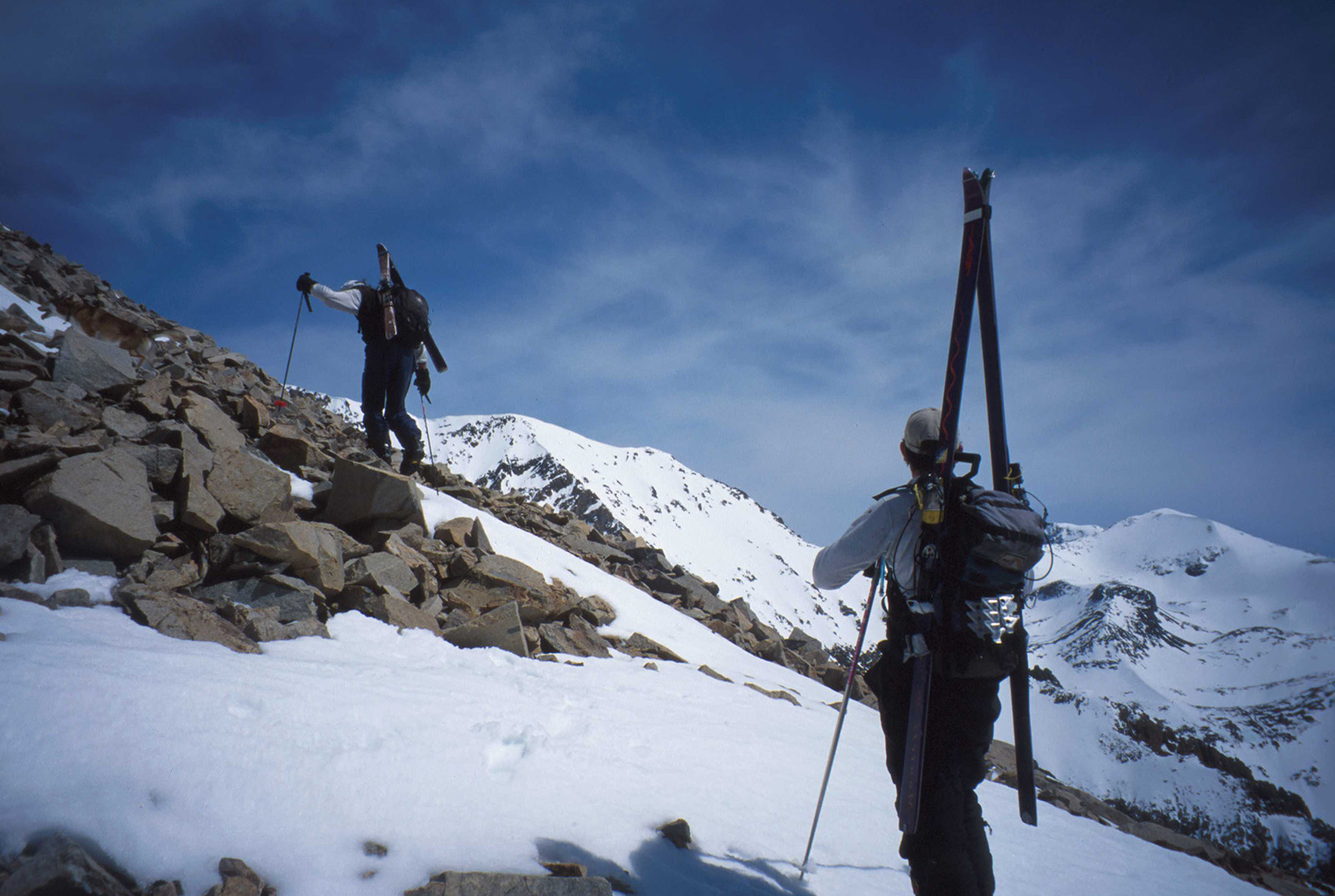
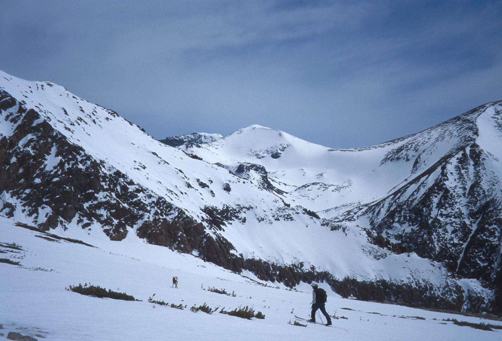
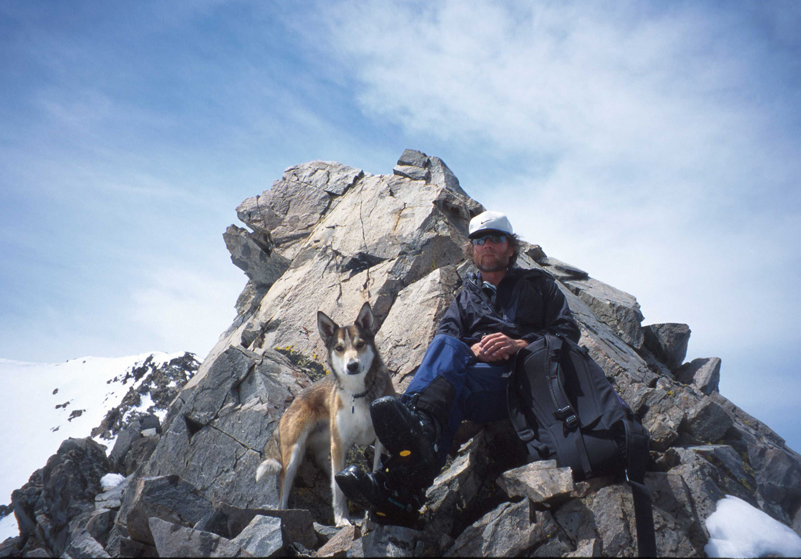
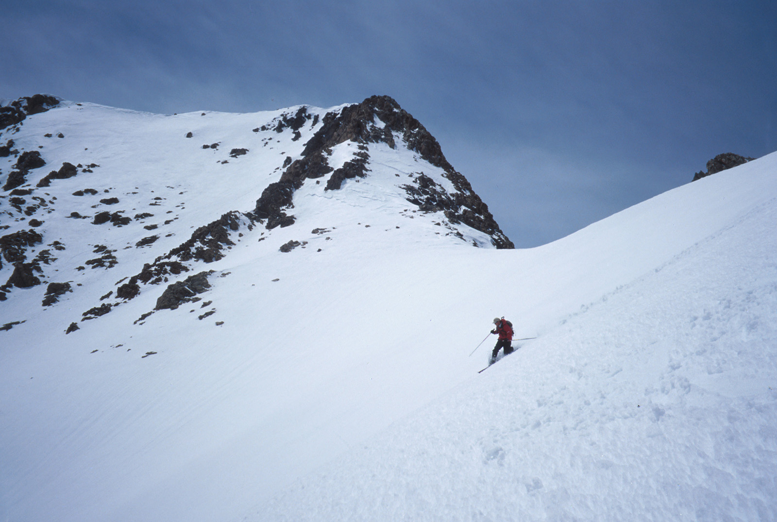
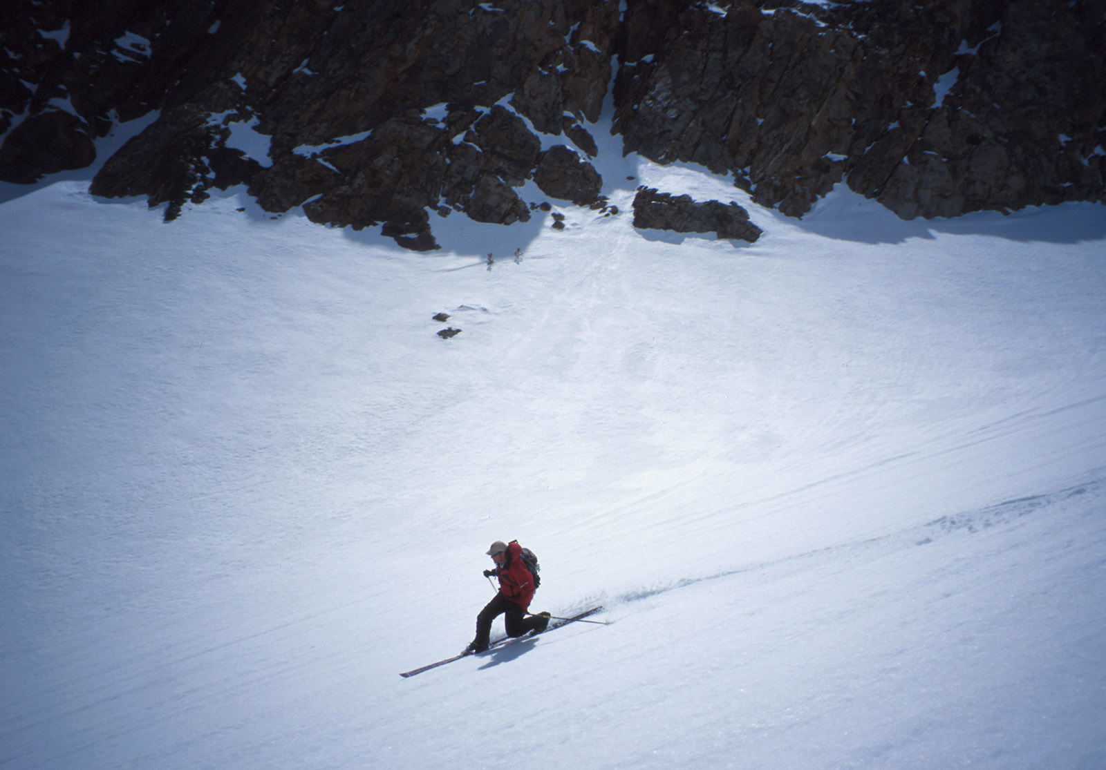
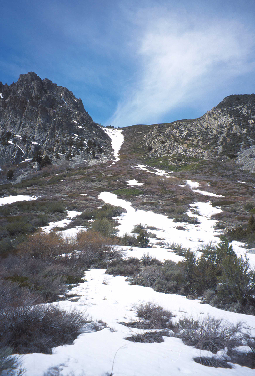
Our initial east face above the car was easy to skin. The Plateau at mid mountain is really sweet, offering a north facing exit in which you could ski down to Walker Lake, and wrap back around to the car. To get onto the real business of the high east ridge, you will go find it above the plateau in a steep traverse through some exposed rocks. You would need crampons and axe if the snow was firm. I don’t think the final climb was crazy steep, but you do feel pretty exposed. Our group got separated for some reason, and Greg Loring and I reached the summit without John and Roger. Those guys made it high enough, reaching the ridge where the fat south facing canyon ski descent begins. Greg and I dropped in from the top and found a great little chute directly below us. The snow was perfect corn in there and we could see down through it all the way. This little extra bonus line looks like a sketchy pencil line from the car, but it was under 40 degrees and wide enough for turns.
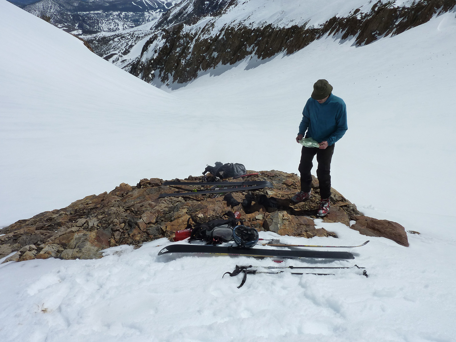
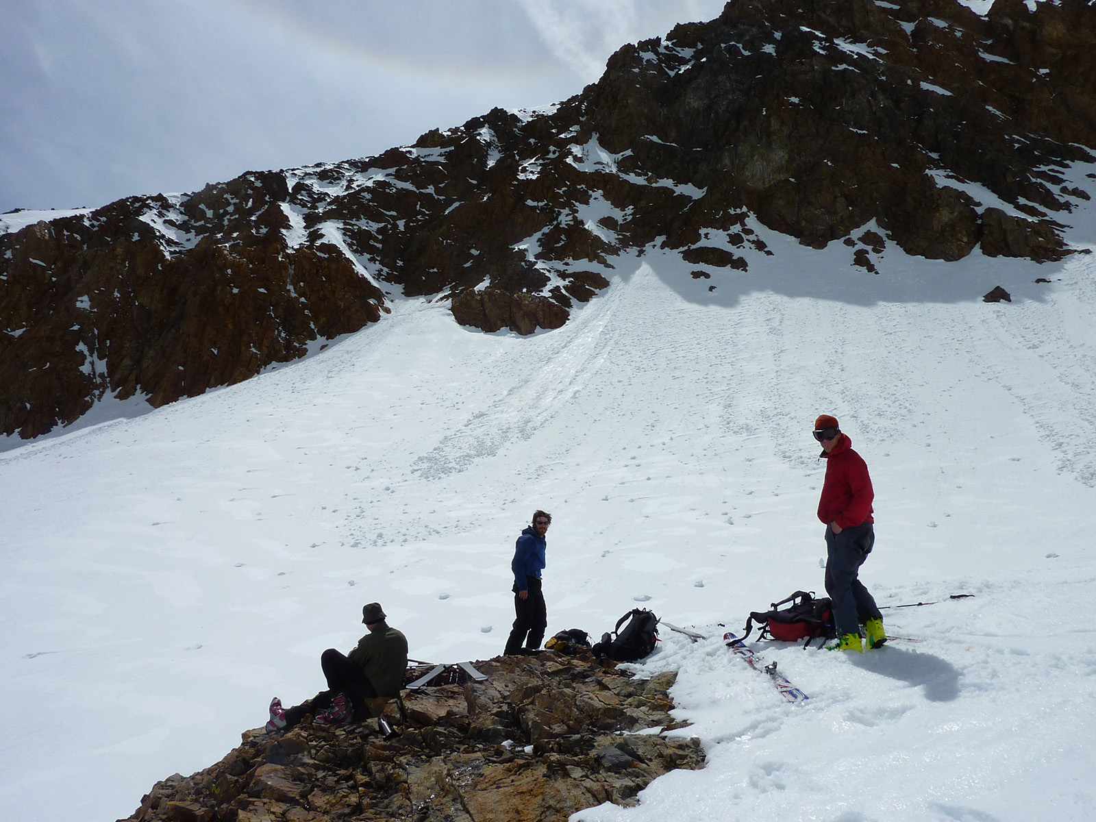
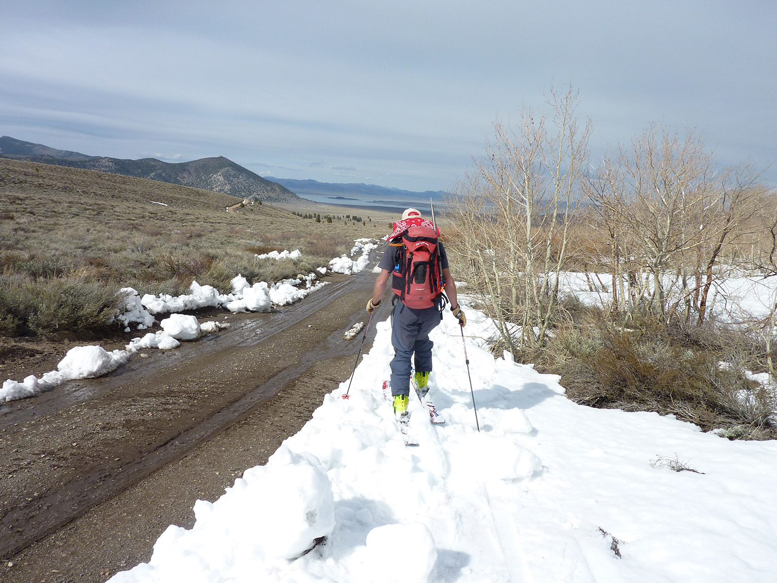
We met up with John and Roger at a nice little exposed rock in the center of the Canyon, where the angle mellowed out. Exactly where you would get crushed by a huge avalanche or hit by rockfall, if conditions were different. We took a long break after a fairly big effort climbing the peak, because we knew the journey out would also sap some energy. I look forward to skiing Mt. Lewis again, but I probably won’t. There are just too many damn mountains out there. I love looking at it though.
This peak is described in a fairly new guidebook we sell that is REALLY well done. It covers Bridgeport to Bishop. Click here to buy.
Backcountry Skiing California’s Eastern Sierra 3rd Edition – Greenberg & Mingori – The BackCountry

Looking for awesome ski and splitboard tours in the Sierras? We’ve got write ups on many common and uncommon tours curated by the owner of the BackCountry, Mike Schwartz.


