Duration: 1 – 1.5 hours
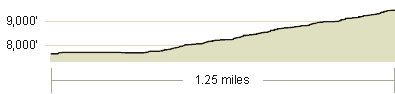
Elevation Change: 1,781′ – from 7,716′ to 9,497′
Recomended Map: Waterhouse Peak & South Lake Tahoe, California
Elevation Profile:
Map of General Route:
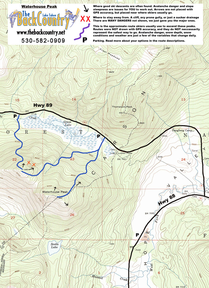
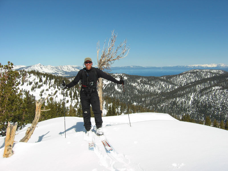
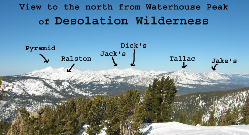
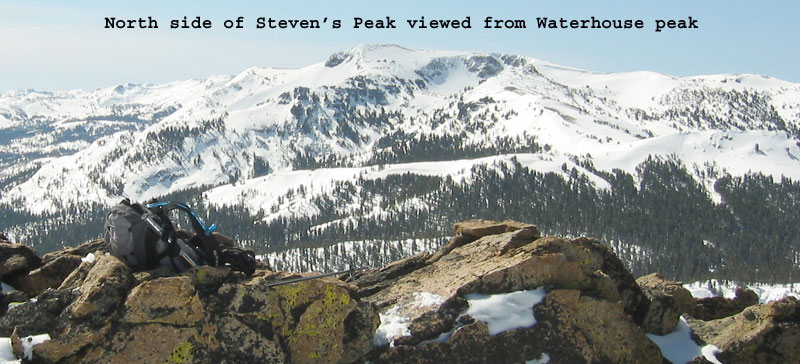
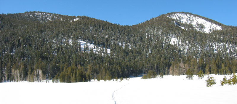
Hit Waterhouse Peak if you’re short on time, or worried about avalanche danger. You’ll find mellow runs, old growth trees, awesome views, and an easy 1,500’ climb. At the top of Luther Pass on Highway 89, you can park with ease and see the twin summits right from your car. Avoid the steep, treeless gully on the north peaklet. You can find good winter powder long after storms end in this high and dry location. Avalanche danger is rare here, as most of the terrain is less than 30 degrees steep. The trees are spaced a little tighter however, so bring your short skis. The north summit is a better ski, but gets tracked out fast. The un-crowded South Peaklet’s east slope is mellow in angle, but well worth a lap or two. Or leave a car down the hill in the Hope Valley for a nice long corn snow run on the South side to finish the day. You’ll find excellent views of Tahoe at the top, along with some cool, twisted ancient trees.

Looking for awesome ski and splitboard tours in the Sierras? We’ve got write ups on many common and uncommon tours curated by the owner of the BackCountry, Mike Schwartz.


