Cardinal Mountain 13,397′
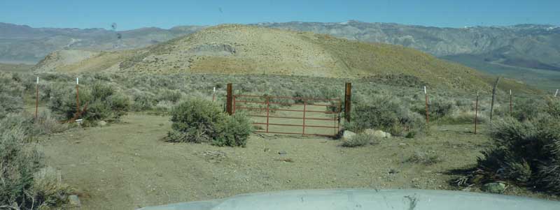
Location: Red Lake Trailhead above Tinemaha Campground, South of Big Pine
Elevation: 13,396′
Recommended Map: Kings Canyon High Country – Tom Harrison
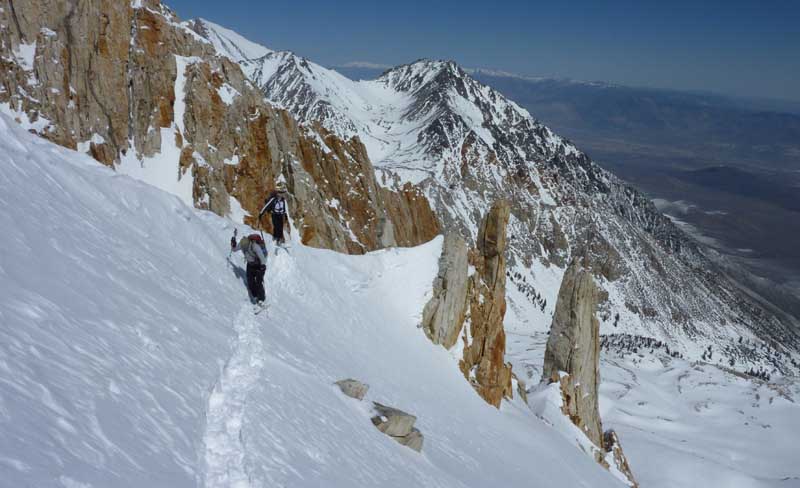
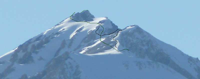
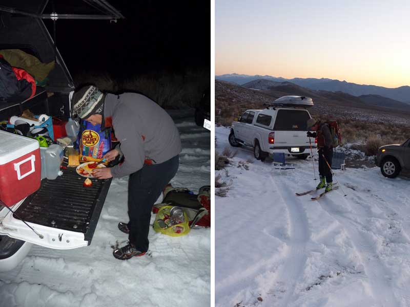
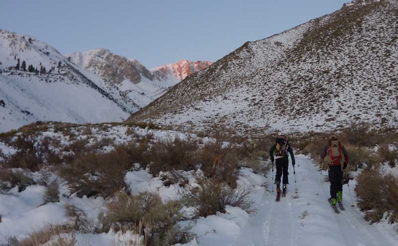
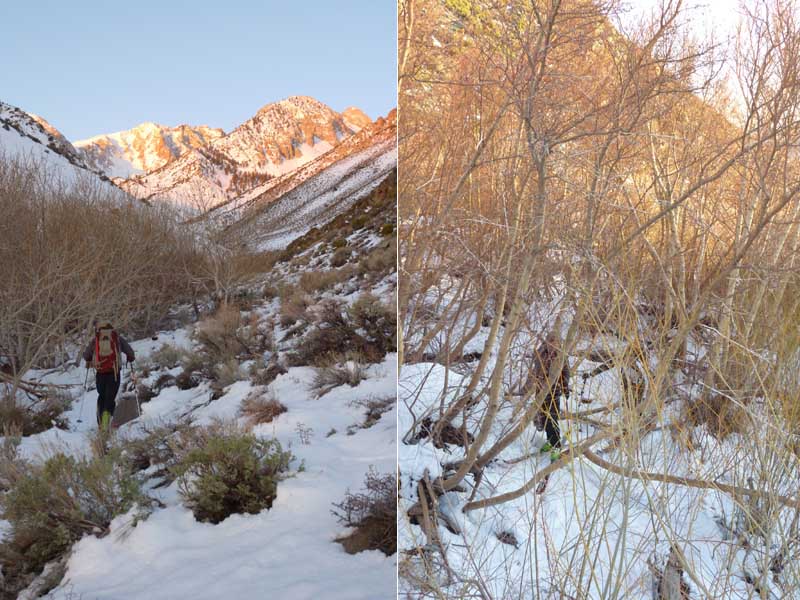
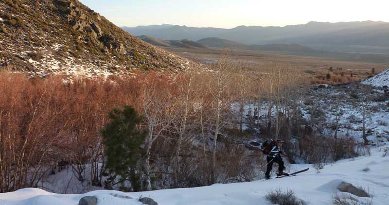
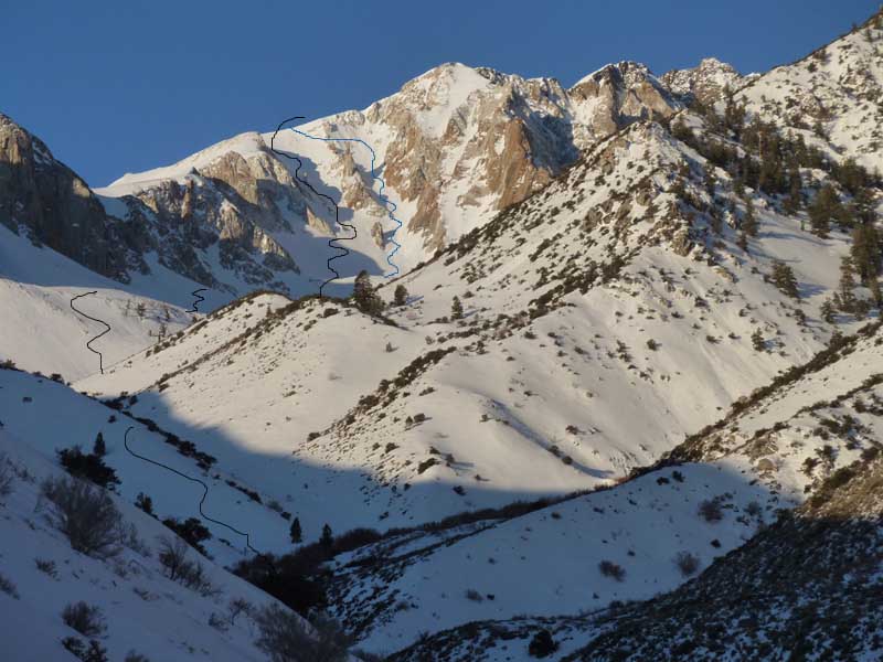
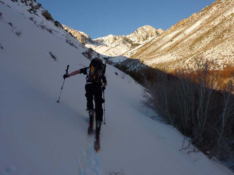
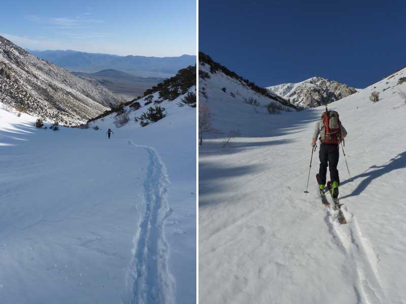
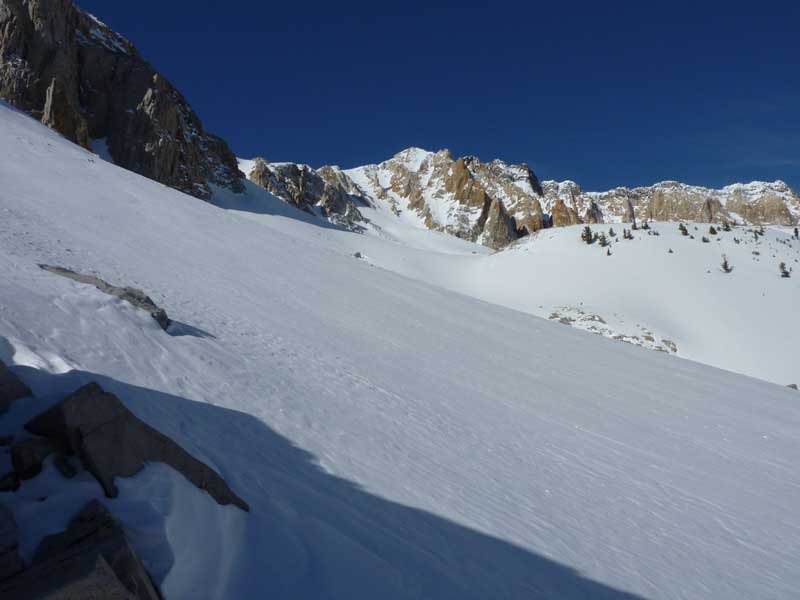
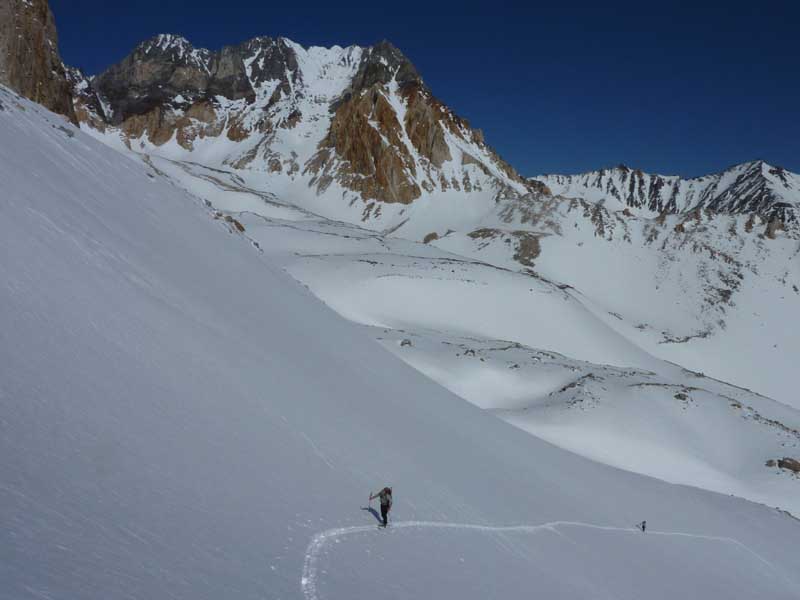
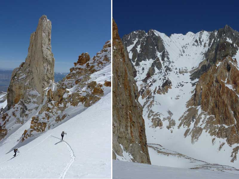
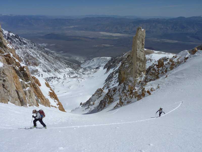
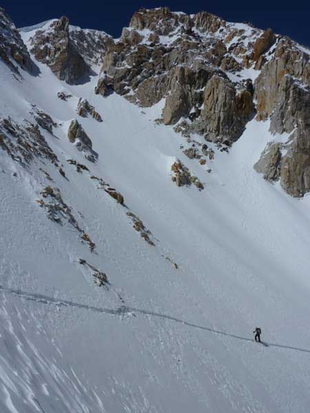
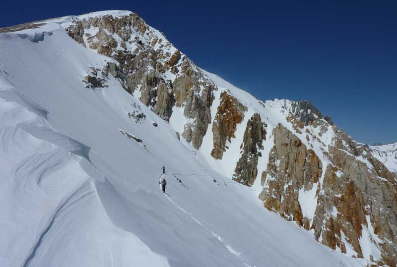
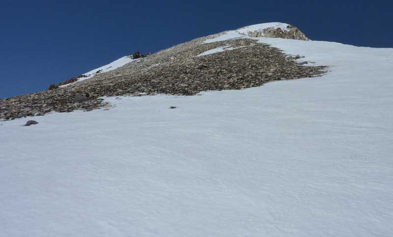
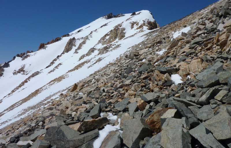
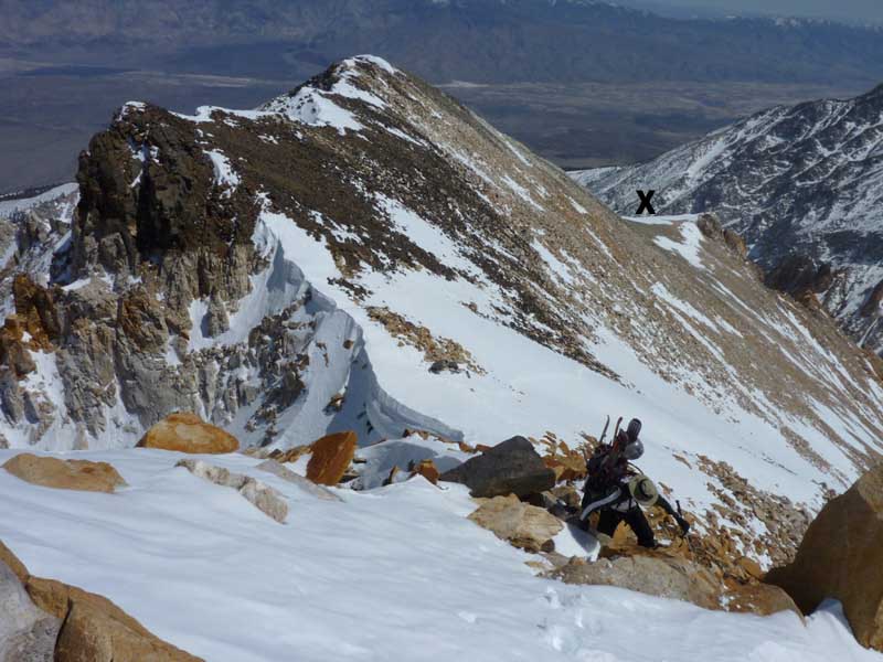
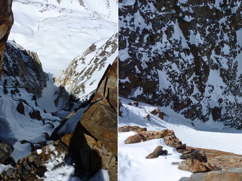
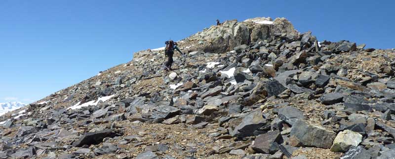
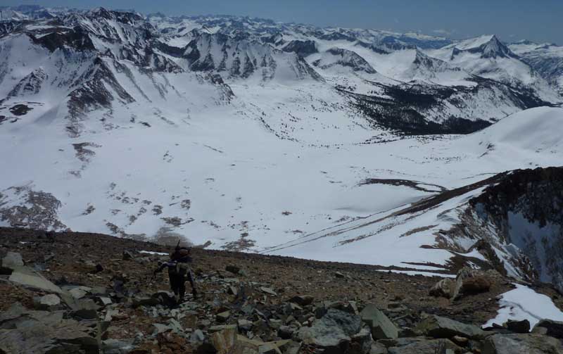
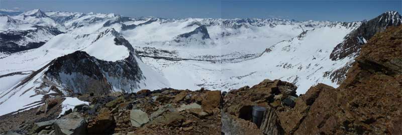
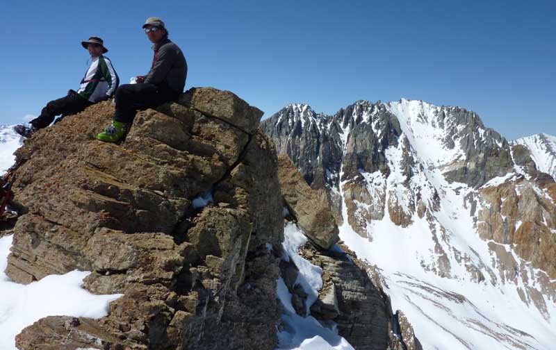
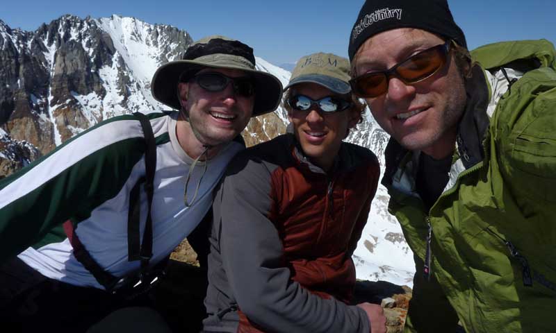
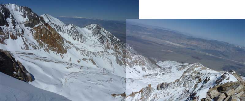
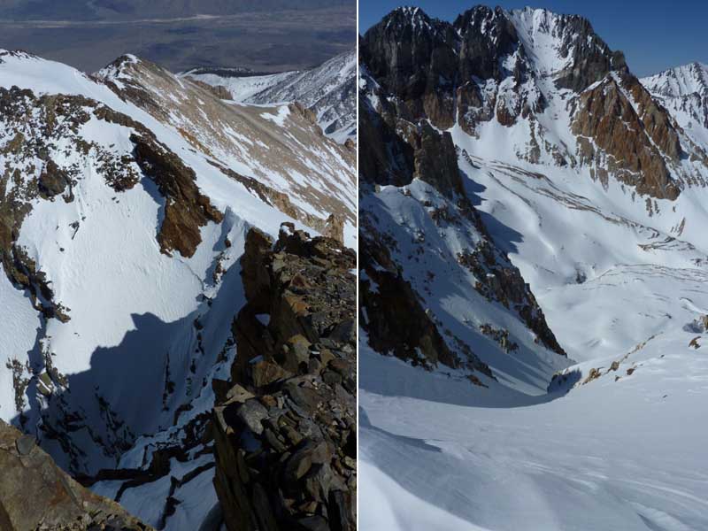
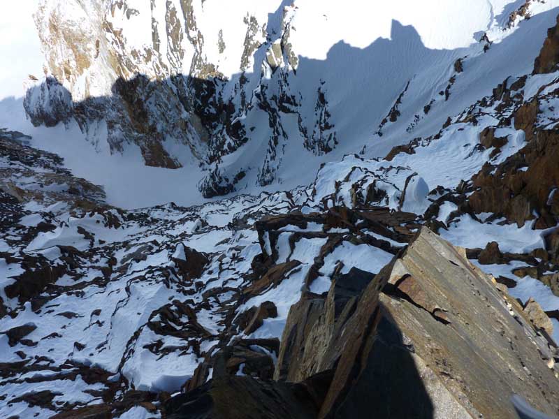
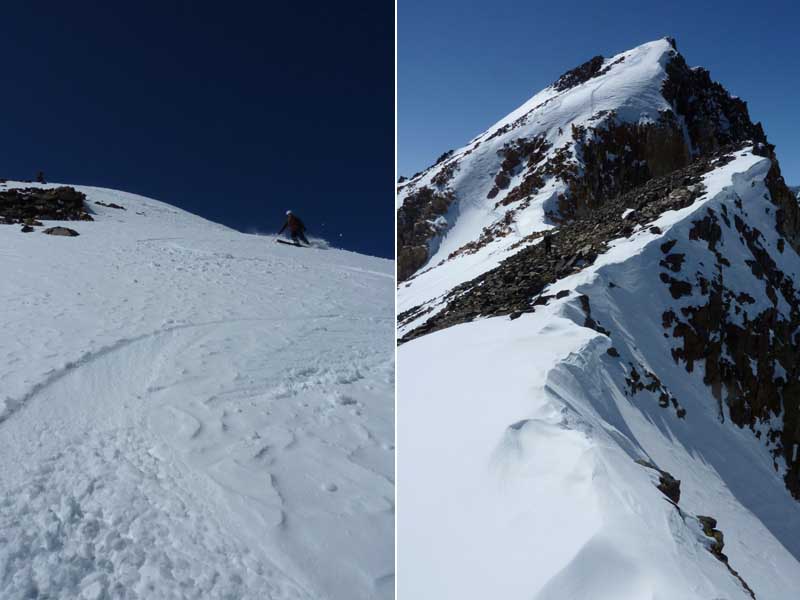
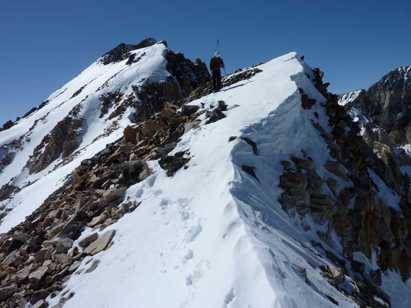
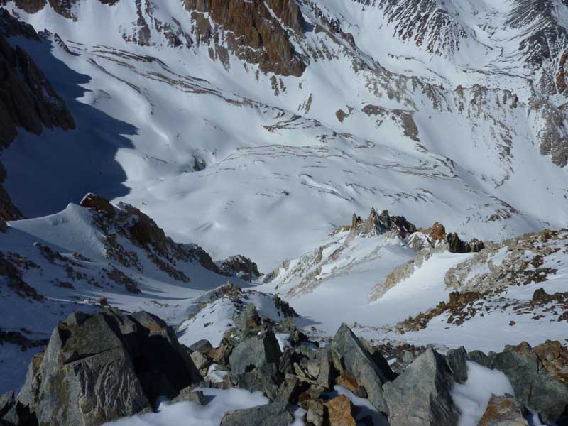
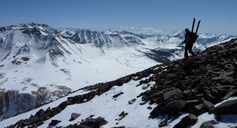
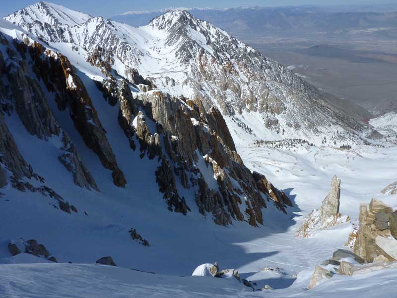
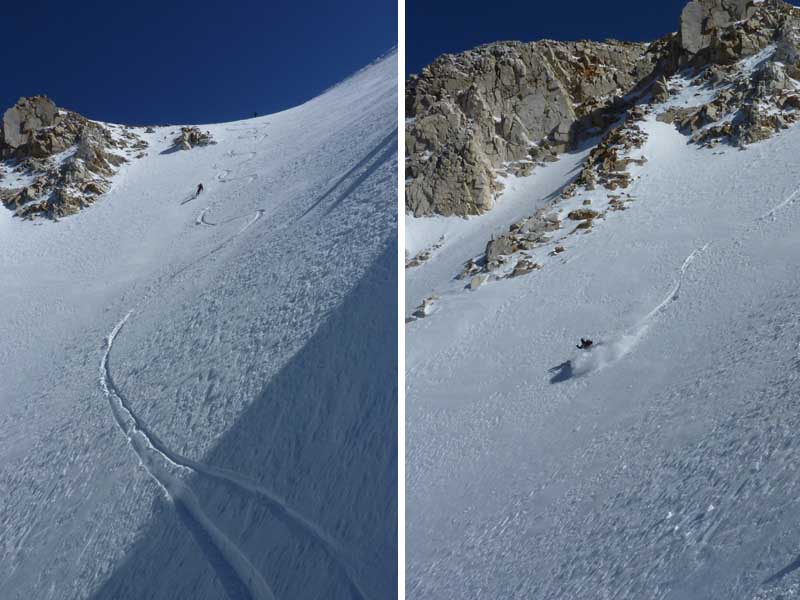
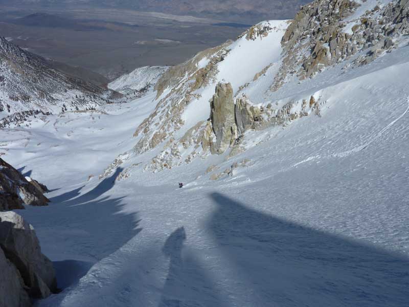
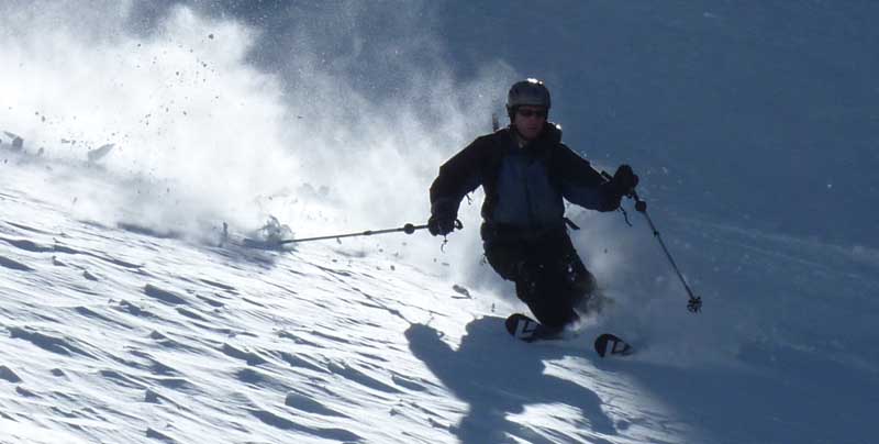
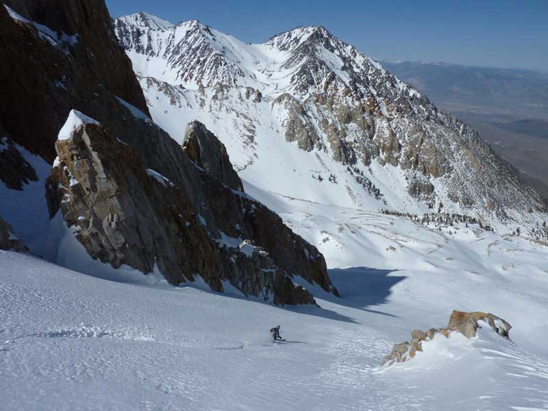
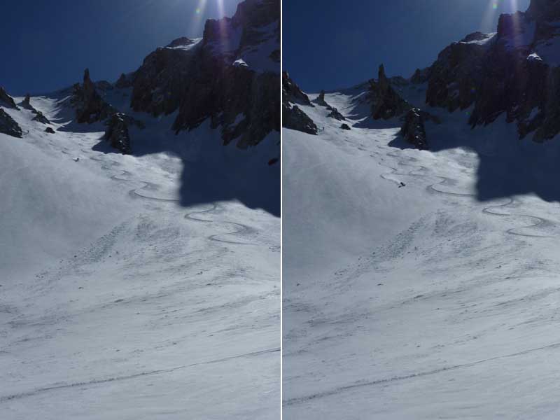
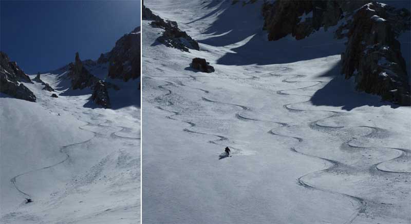
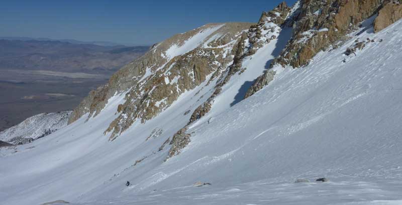
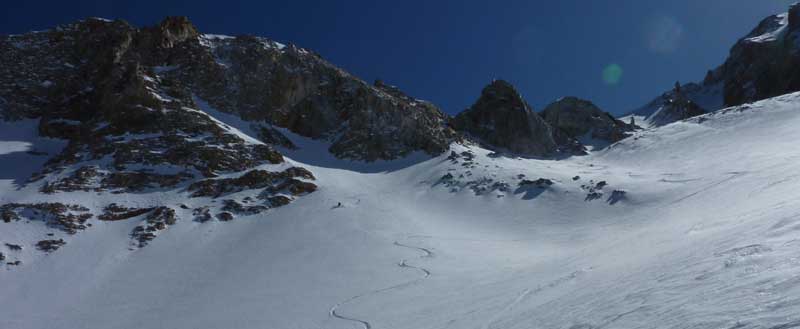
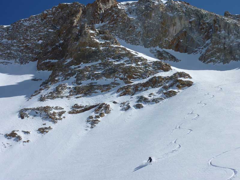
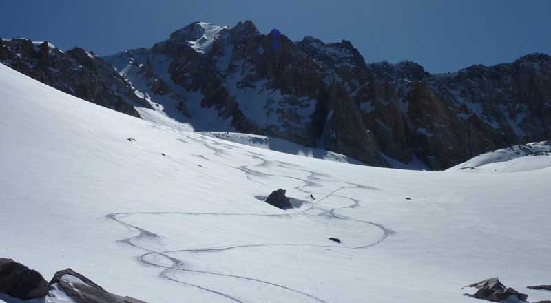
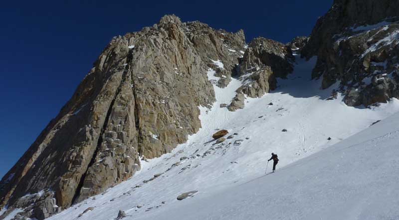
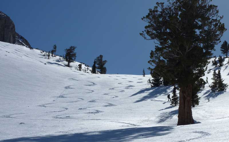
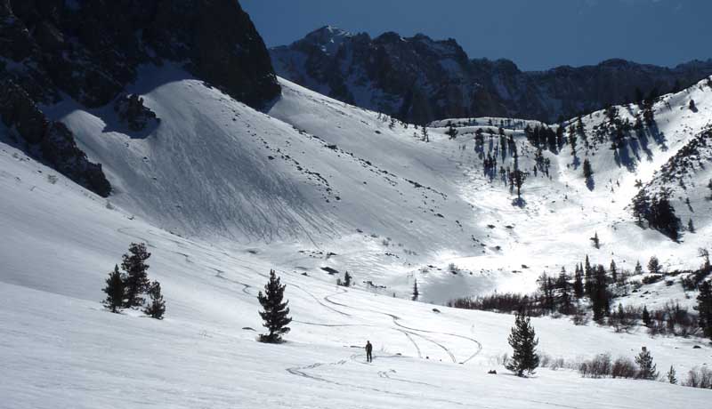
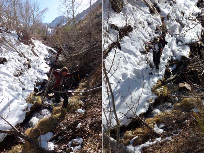
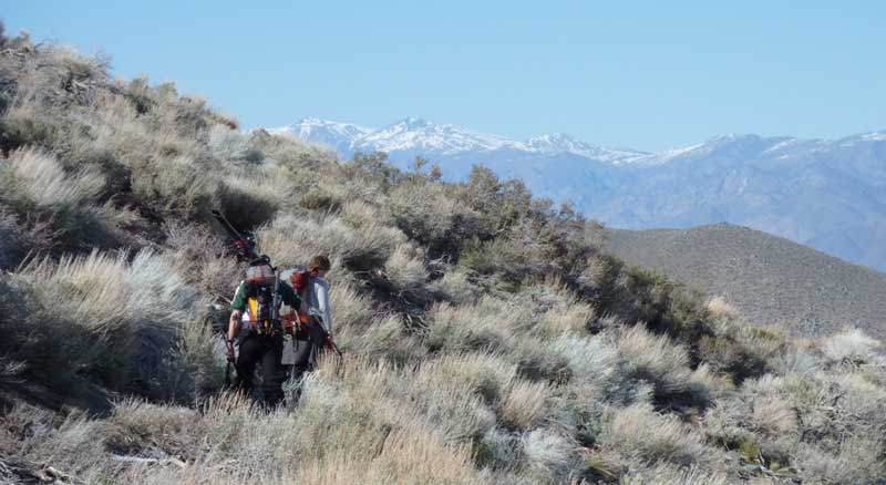
These pics are from April 10, 2010. I skied the obvious NE parallel gullies as well as most of the East Ridge above it from the Summit with Abe and Michael Decker. We were able to park at the Red Lake Trailhead, which requires at least a Subaru Outback or better for ground clearance. We were on snow pretty quick and easily found the route up to the east ridge and on to the summit. We looked down some really steep couloirs that were hard to see through all the way, but we were pretty sure they went. The North Couloir is skied by the most serious mountaineers and only visible from Twin Peaks to the North. Or you could climb it with ice axes and ropes I guess. I wouldn’t count on dropping this line. I was happy skiing the standard East Chute route, which was plenty steep and long for us. Plus it’s always cool to ski a peak along a route that you can see from hwy 395. There were some really big south or south east facing slopes I’d like to go back and ski as well.
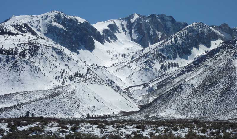
You are likely to have Cardinal Mountain all to yourself. The neighboring East Side Giants are coveted and look a little more impressive from Hwy 395. When you get up into the Red lake Trailhead and start up, you’ll be psyched that this peak has something for everyone.

Looking for awesome ski and splitboard tours in the Sierras? We’ve got write ups on many common and uncommon tours curated by the owner of the BackCountry, Mike Schwartz.


