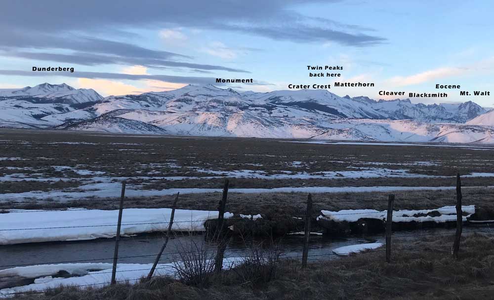
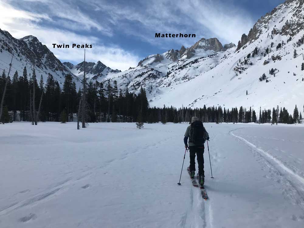
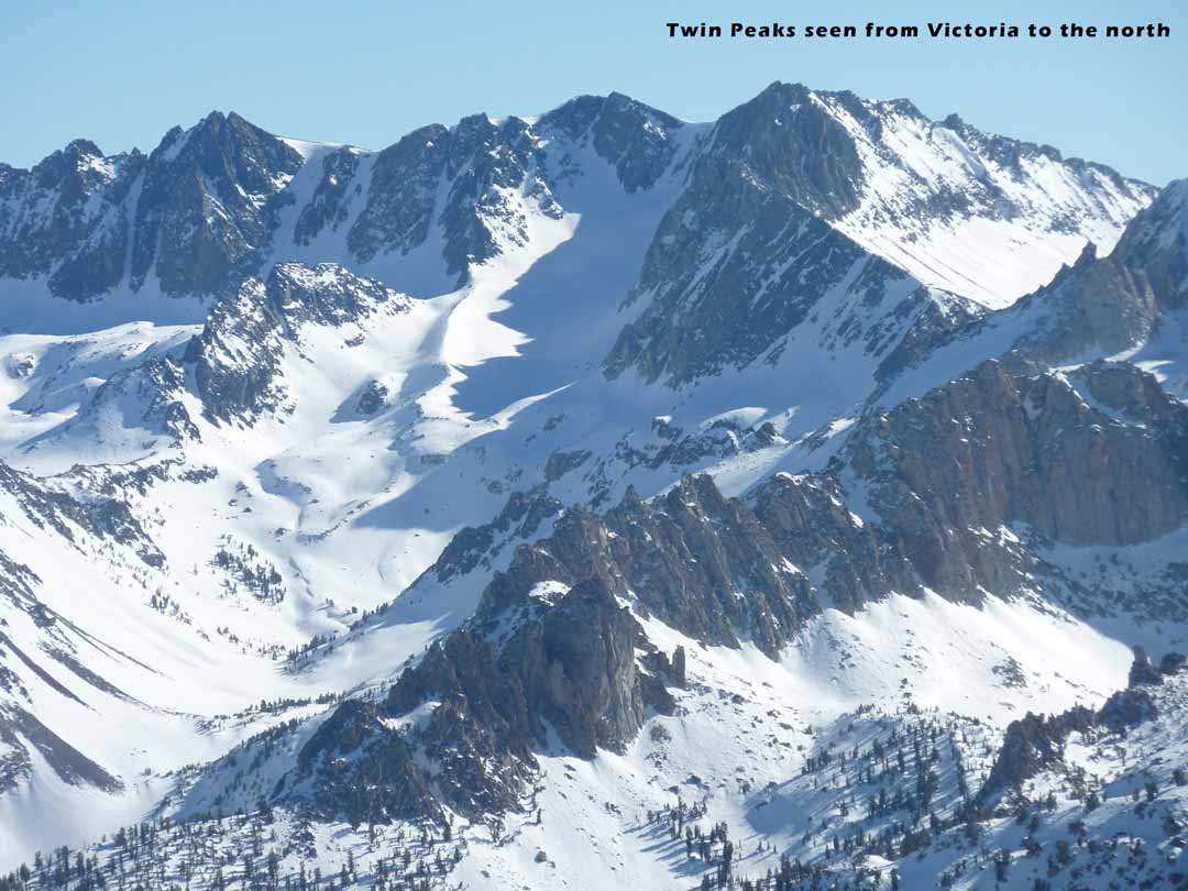
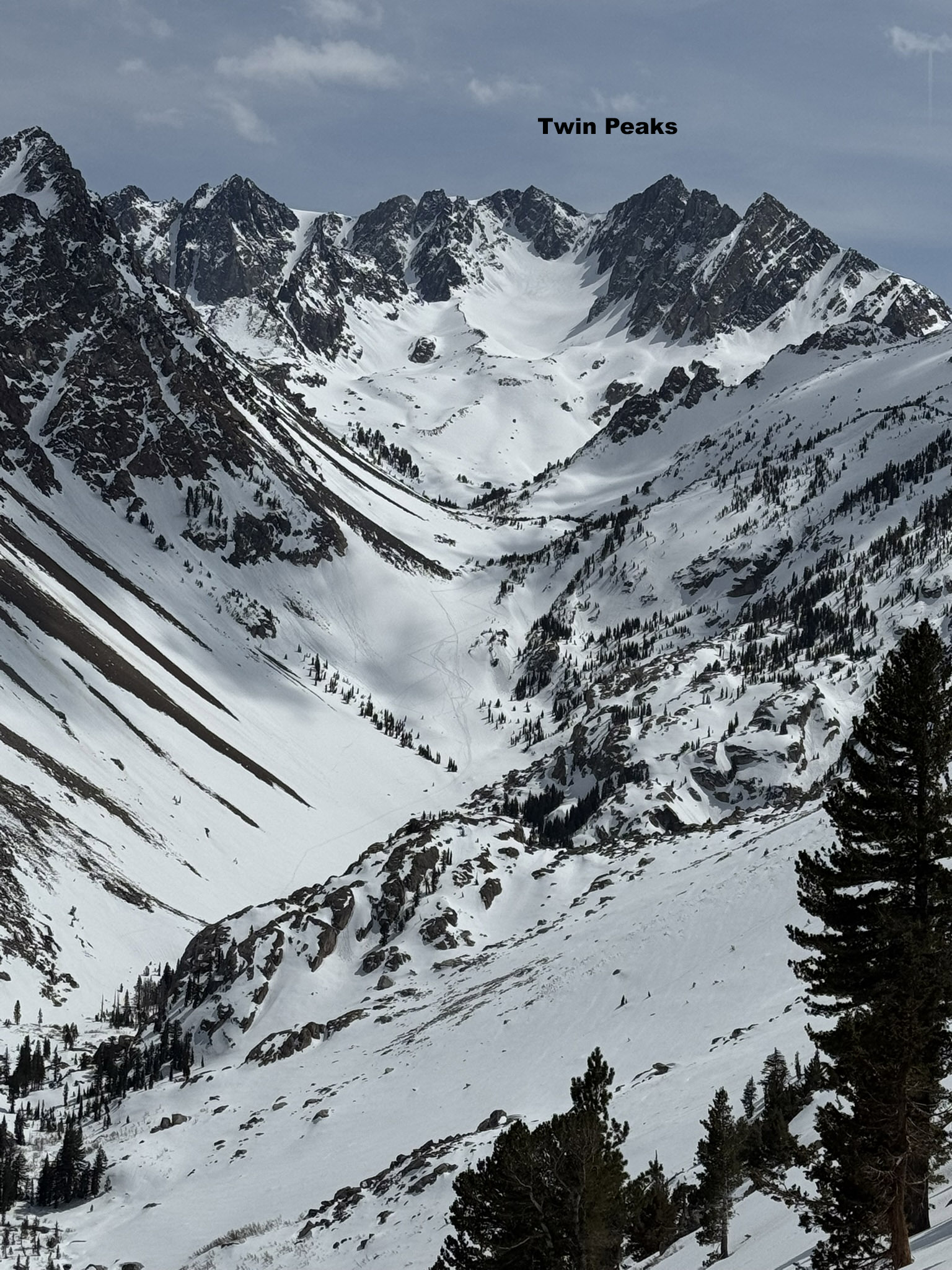
Twin Peaks 11,520′
Location: Twin Lakes Campground – Bridgeport, CA
Elevation: 7,100 – 12,500′
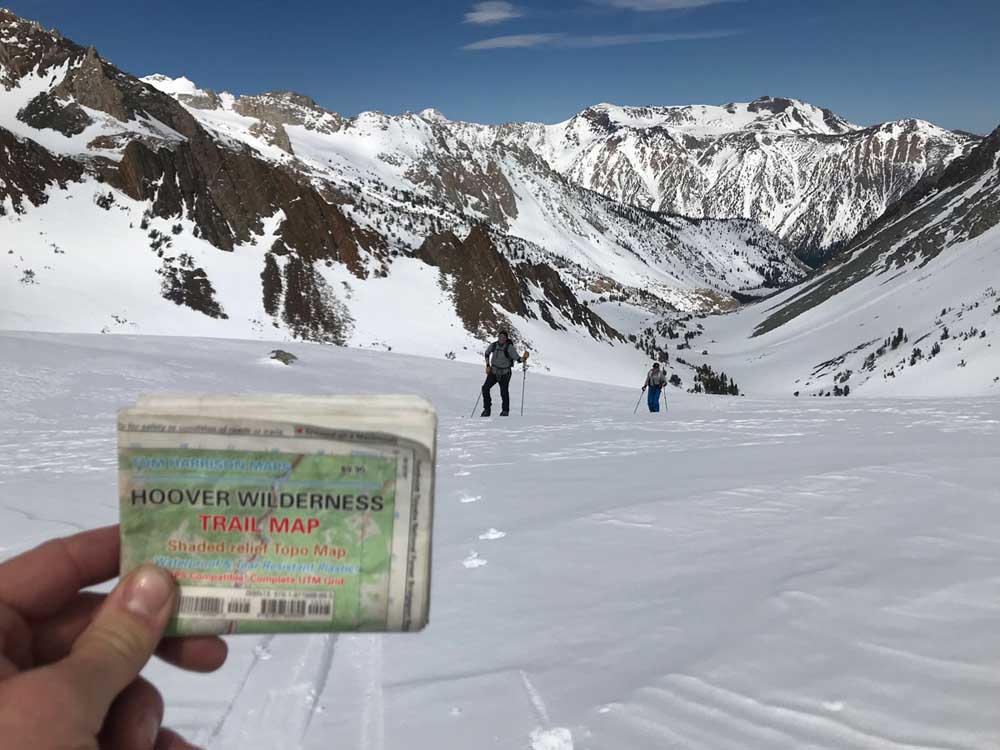
Recommended Map: Hoover Wilderness – Tom Harrison
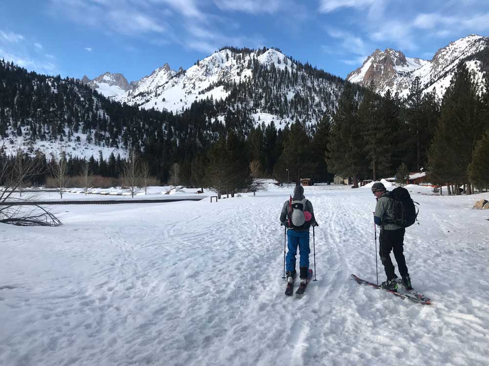
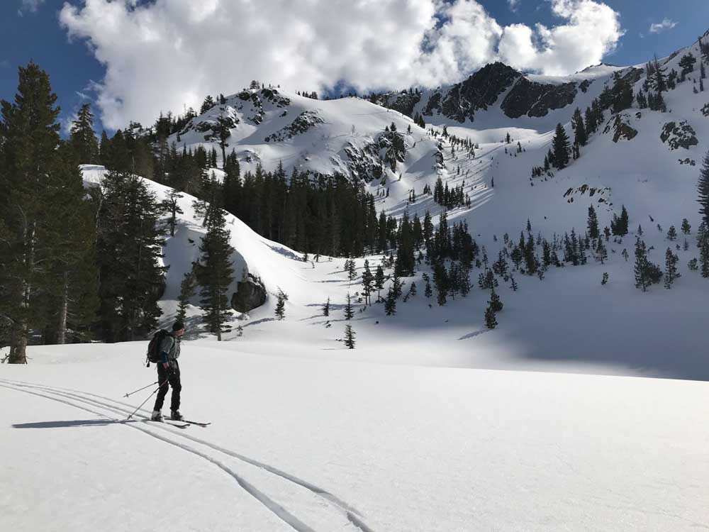
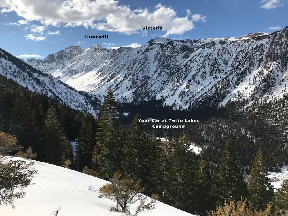
These pictures are from March 18, 2019. The snowpack is very deep this year and I was very impressed with this beautiful tour. I’ve skied neighboring Matterhorn Peak many times, which is by far the most popular ski mountaineering objective at this dead end paradise. There are about 6 amazing drainages to skin in search of ski mountaineering objectives above the Twin Lakes Campground. The trailhead is usually plowed all winter. If the county can’t keep up with snowplowing, you can use kicker skins to knock out a few flat road miles, or ski Monument or Crater Crest from the east end of Twin Lakes. Your phone won’t work at the trailhead, which is 13 miles from the tiny town of Bridgeport. There are NO PARKING signs at the Twin Lakes Campground dead end, but I have not heard of anyone getting a ticket. Respect the seasonal campground, which is used in the winter only by a few of their staff. You are permitted to ski through it to access the mountains of course, and there are no winter services.
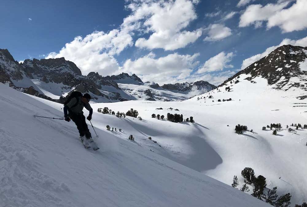
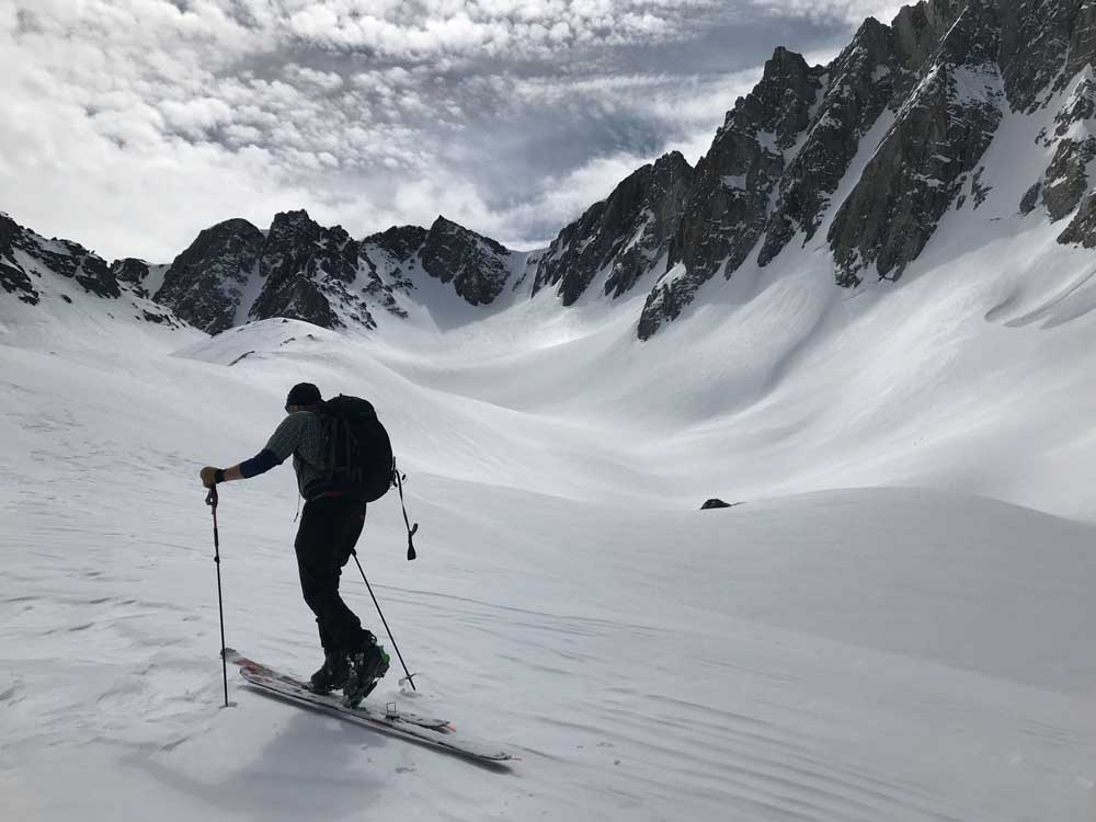
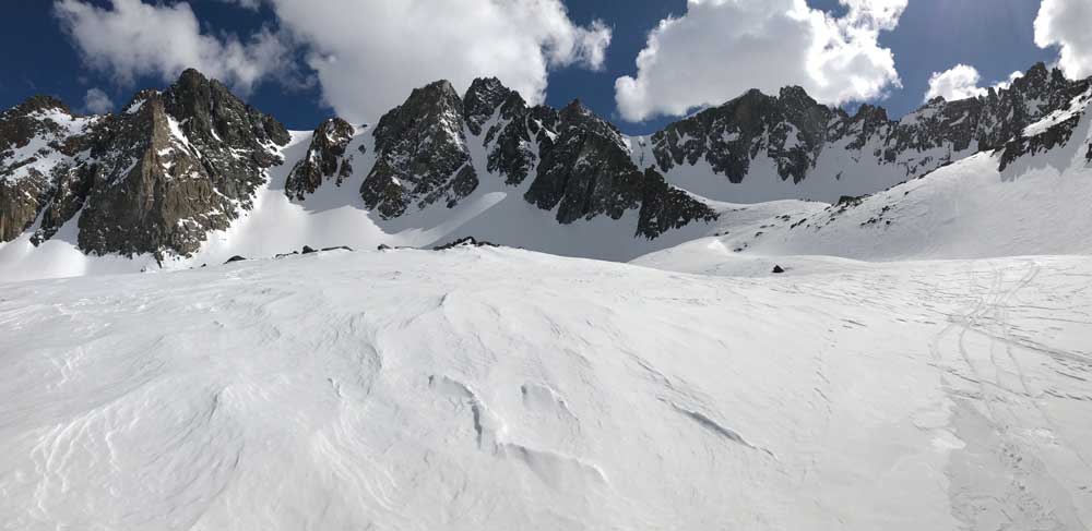
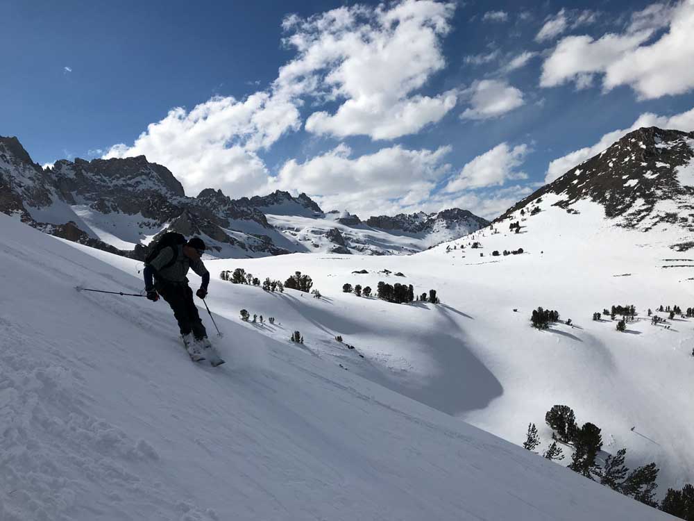
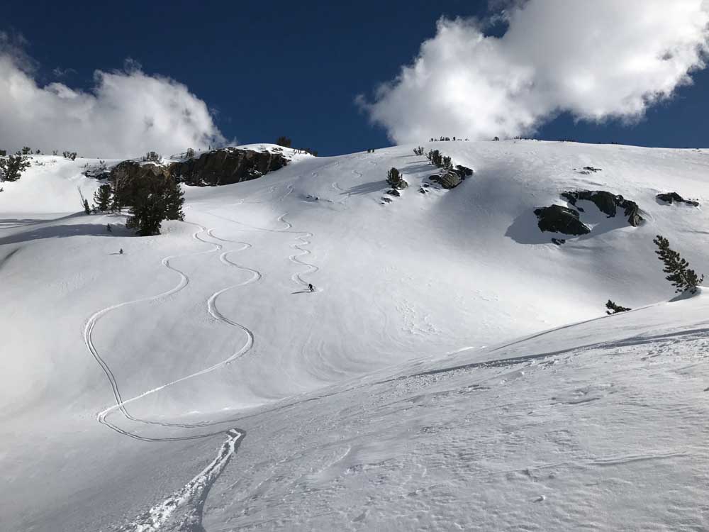
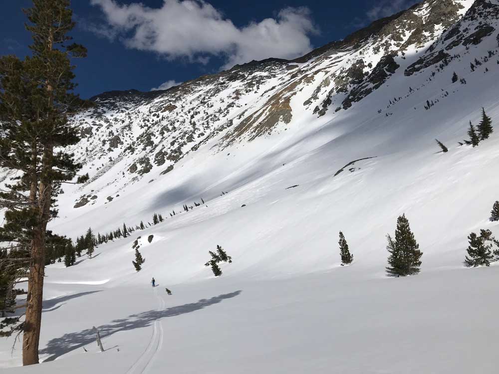
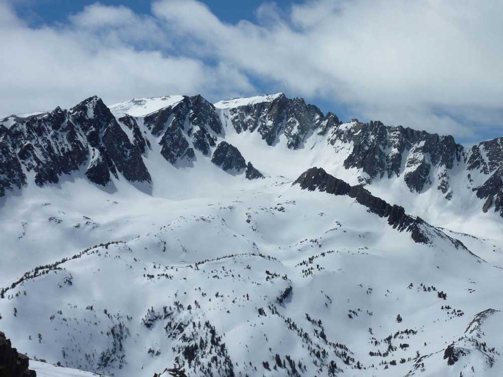
Getting to Twin Peaks is a big day, maybe a little longer than getting up Matterhorn. The path from your car to the glacier is super scenic and not very steep. Watch the wet slides that sometimes come down in your path in the afternoon in Horse Canyon. This terrain is wide enough to avoid the occasional runaway warm afternoon slope by travelling in the center. This logic will conflict with your desire to hug the sides of the valley to maintain more glide on return down Horse Creek. On this day, I skied back to the car using a parallel drainage to the east called Cattle Creek. This was amazing, and had no tracks. Horse Creek has a lot of traffic. The problem with coming Cattle Creek is it’s a bit longer and flatter. I would only do this again with kicker skins. We pushed without skins for an hour or more, baffled at how much longer and slower the return was compared to Horse Creek right next door. The added benefit of our Horse Creek to Cattle Creek loop was really excellent steep and wide slopes beneath the Glacier, that revealed another world of beautiful terrain. It was worth the push for us to see untracked and new terrain to explore next time. And there are some really long west facing slopes and gullies to ski from the summit of Crater Crest, leading into Cattle Creek to consider for a loop where your looking for afternoon corn, rather than North facing windboard.
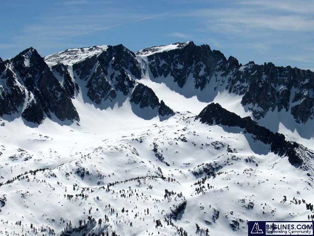
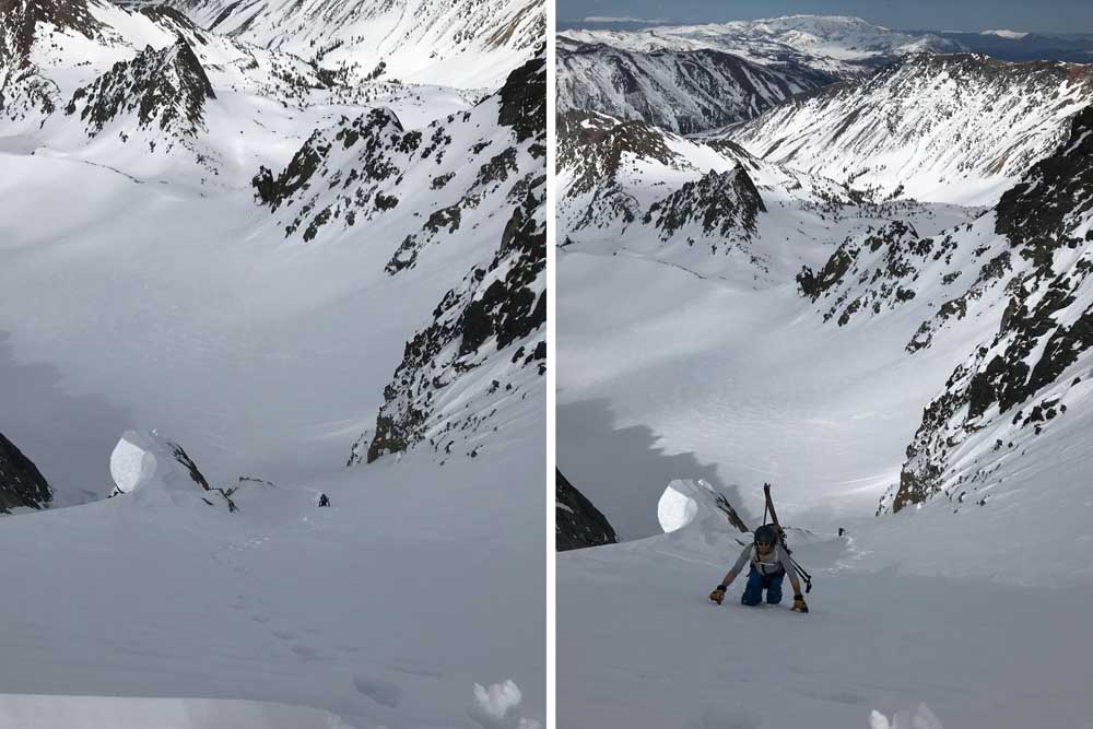
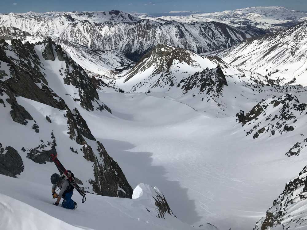
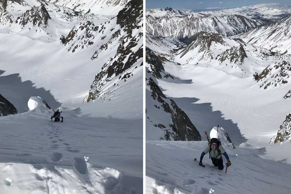
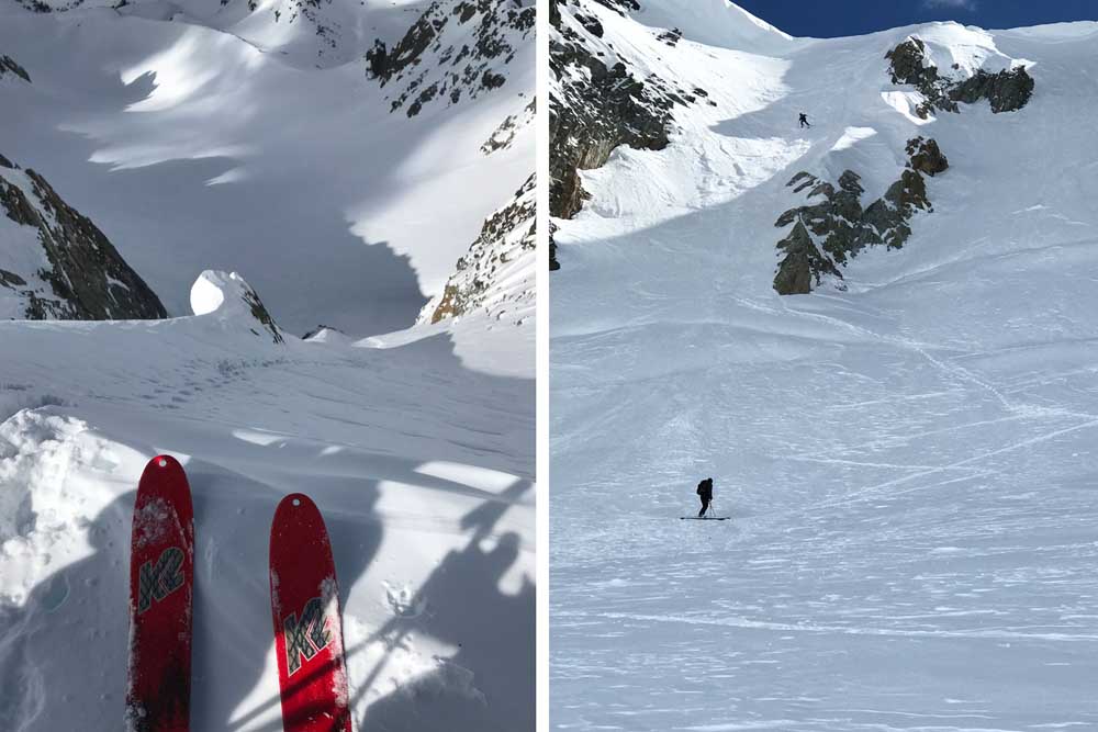
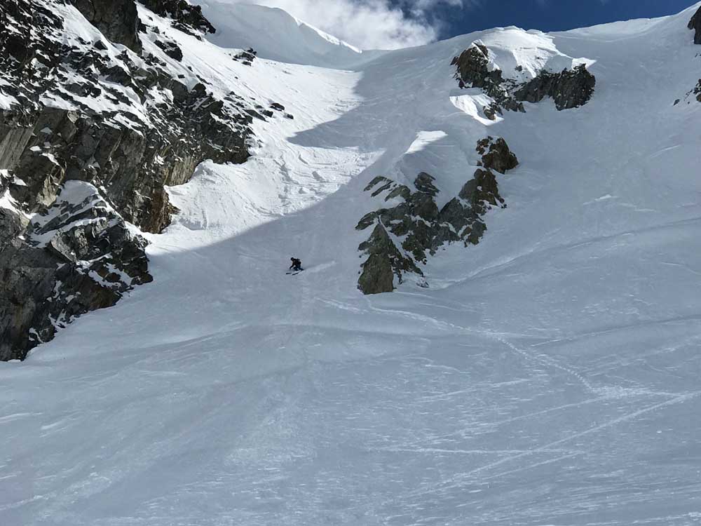
We used our lightweight Camp aluminum boot crampons and ice axes and had to cross one or two bergstroms at the base of the couloir. I didn’t see another route to the summit, and the angle reached 50 degrees near the top. There was also a huge cornice hanging over us that we were less concerned about on this day due to colder temps and clouds. I felt you could hug the right side of the North Couloir and possibly avoid being in the path of a Cornice Drop, but of course we didn’t do that. Hugging the right side was more exposed to a terrible fall if you slipped. There are slightly wider and less steep couloirs to climb to the east, which might easily lead you to the West Summit of Twin Peaks. We only noticed these on our way down Cattle Creek, and I have included some pics that show them clearly. Next time I’ll try one of those. We couldn’t decide which was the highest peak from our Tom Harrison Map or by our view from the top. Look that fact up and hit reply here for us. Add a few pics of your own please!
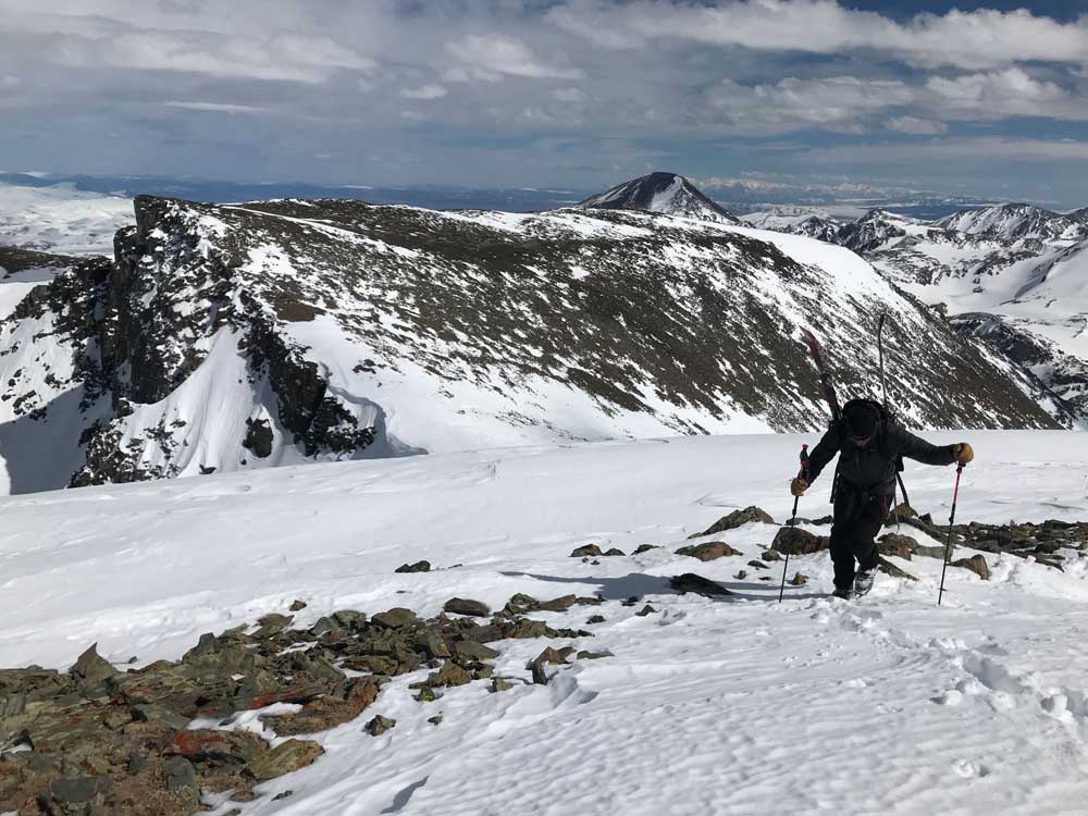
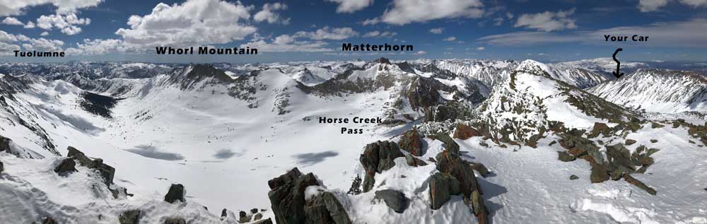
When you climb the 1000′ north couloir of Twin Peaks that we used, you’ll find a short walk or skin on snow to the West Summit. From here check out the view of Matterhorn, Mt. Whorl, and the distant peaks of Tuolumne Meadows. You might be able to escape down the south side of Twin Peaks and sneak into Horse Creek Pass if you don’t like the idea of dropping into the couloir you climbed. Skiing a steep line like this is all about conditions, and it’s still hard for me after all these years to gauge what my edges will feel like, even after I just kicked steps up the line. Your not going to be able to put your skis on and turn around after 40 degrees.
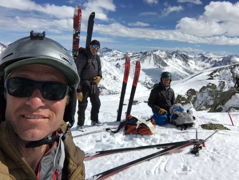
My team of 3 took plenty of breaks and spent about 9 hours skiing Twin Peaks at a casual pace with a loop through both Horse Creek and Cattle Creek. We could have saved some time with kicker skins on the way out of Cattle Creek, but you certainly can glide right out of Horse Creek with just a few short sections of side stepping near the big meadow.

Looking for awesome ski and splitboard tours in the Sierras? We’ve got write ups on many common and uncommon tours curated by the owner of the BackCountry, Mike Schwartz.


