
Deerhorn Mountain NE Couloir :13,265′
Location: Independence, CA
Elevation Change: 6300′
Recommended Map: Kearsarge Pass – Rae Lakes Trail Map by Tom Harrison and Mt. Whitney High Country Map by Tom Harrison
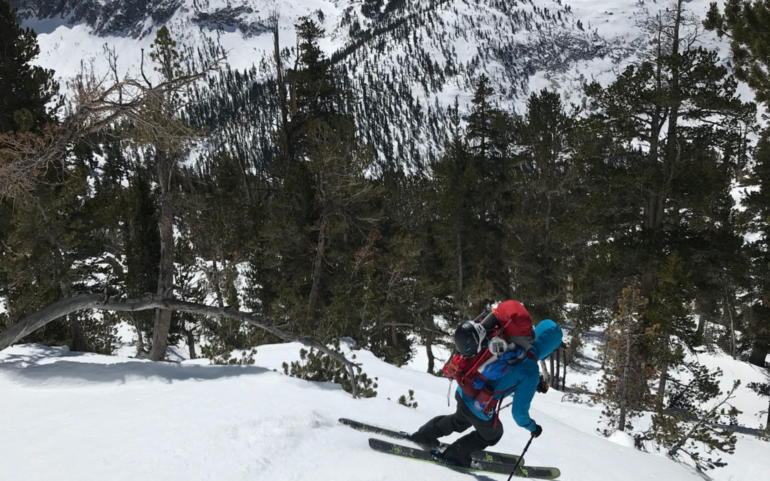
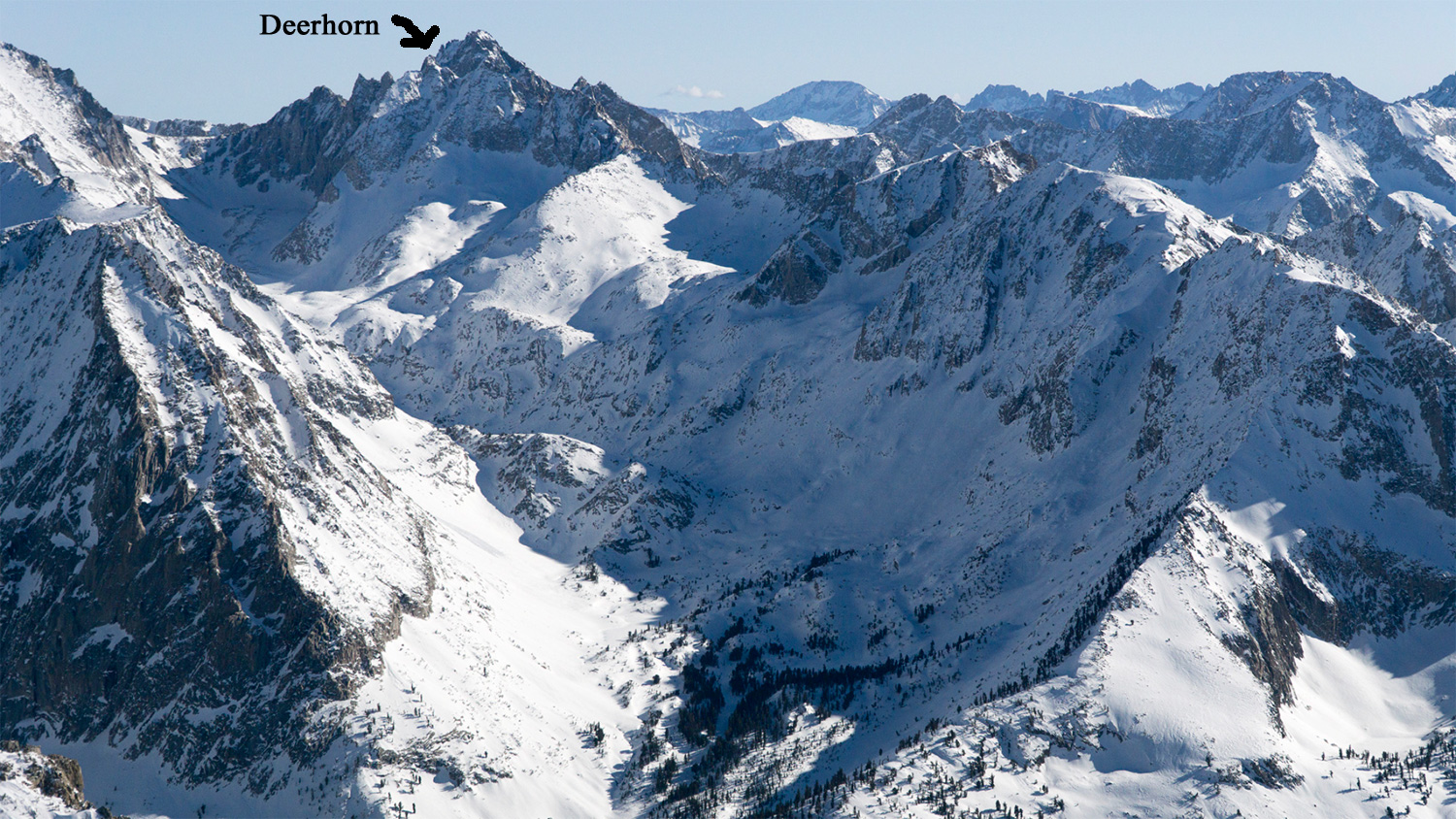
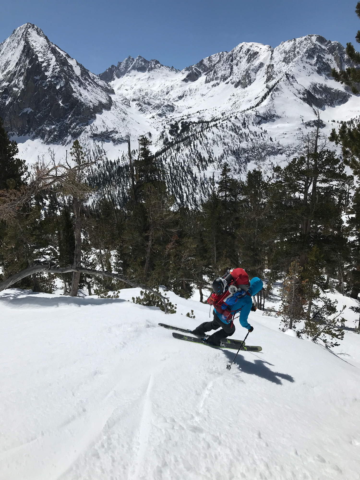
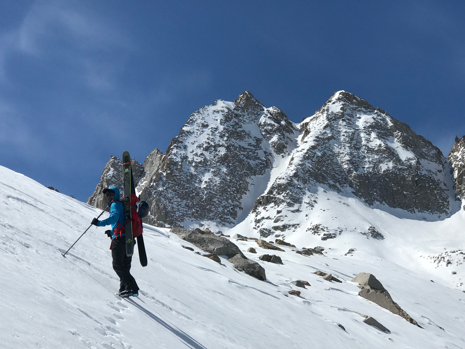
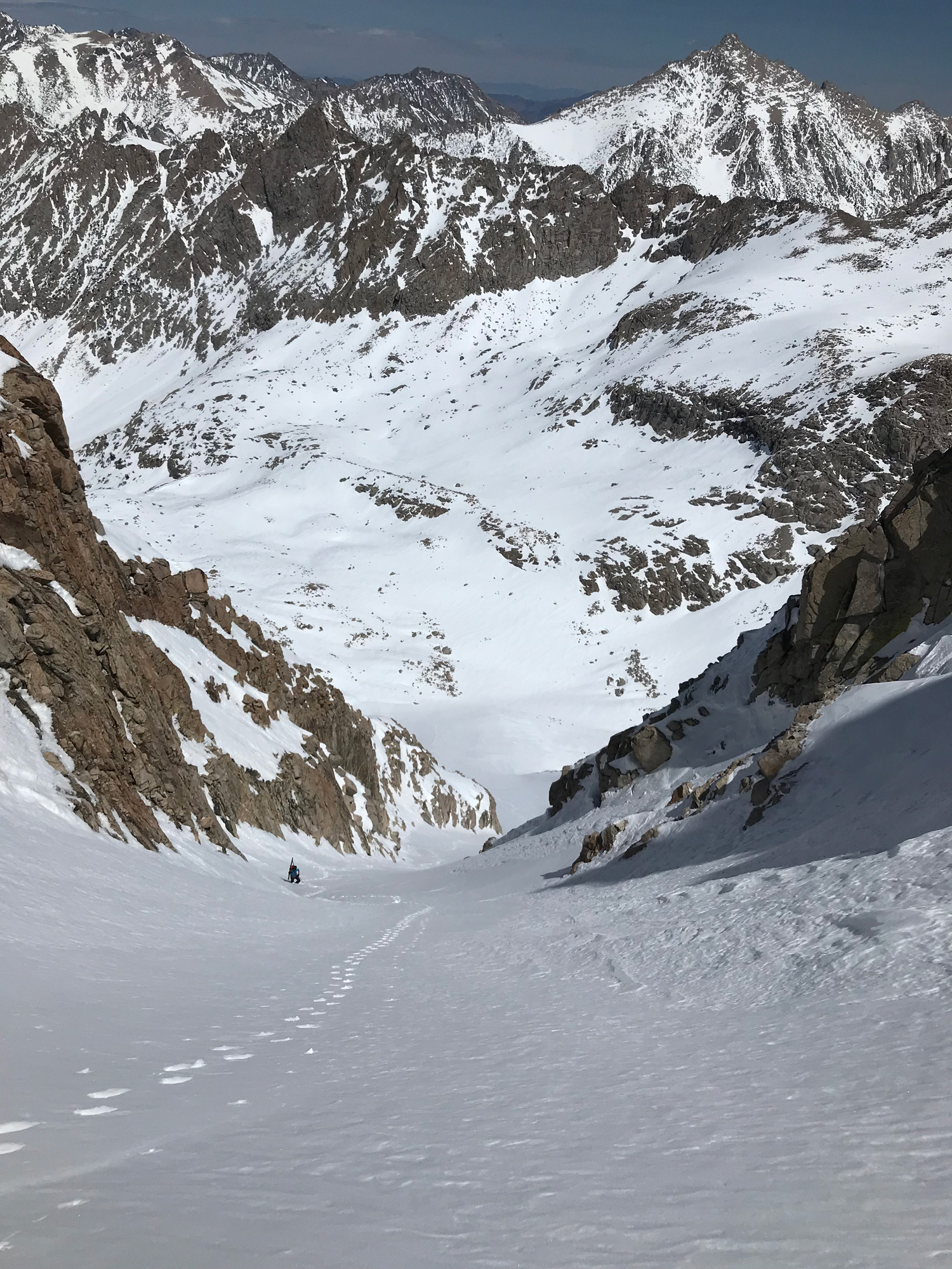
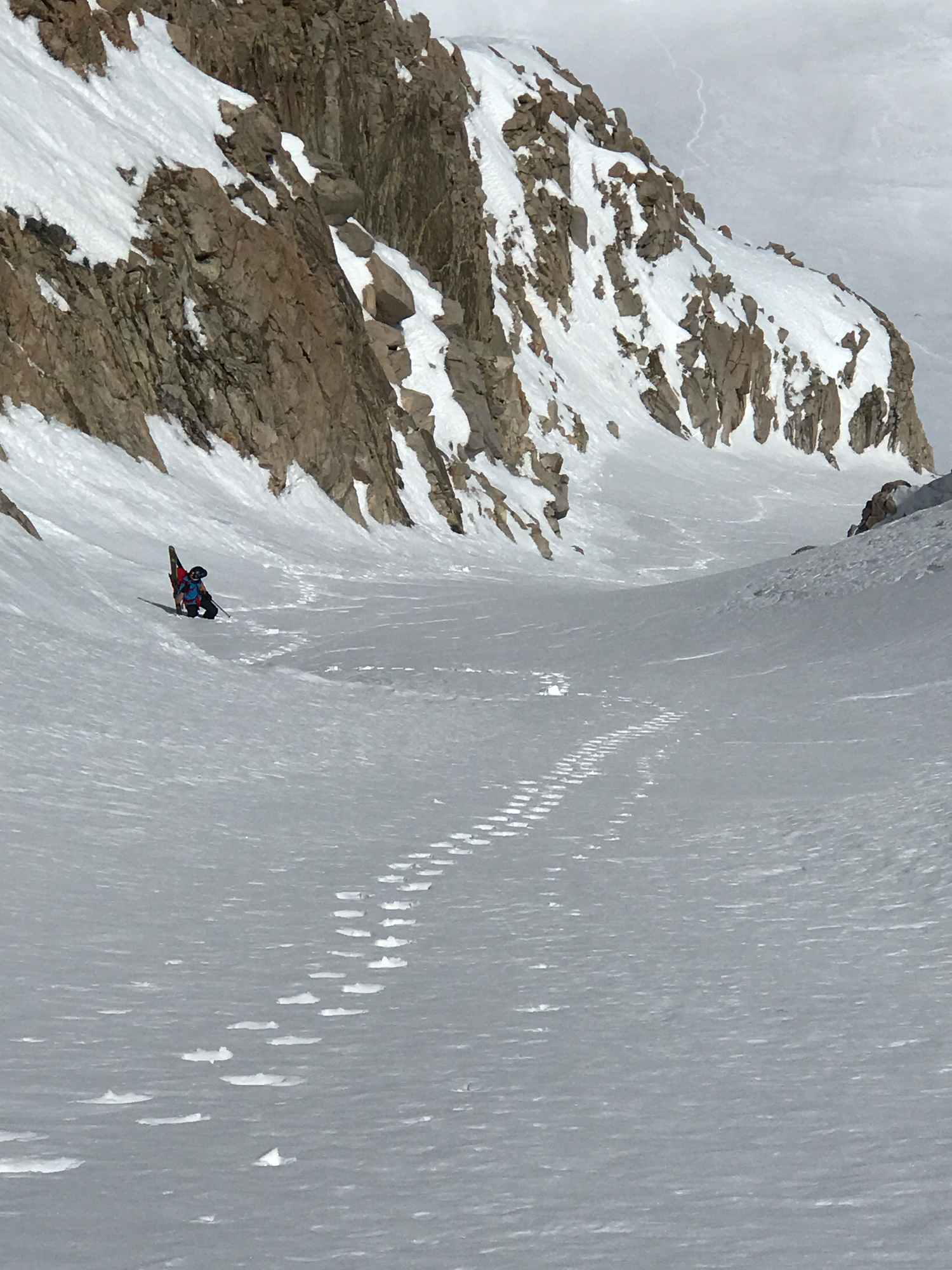
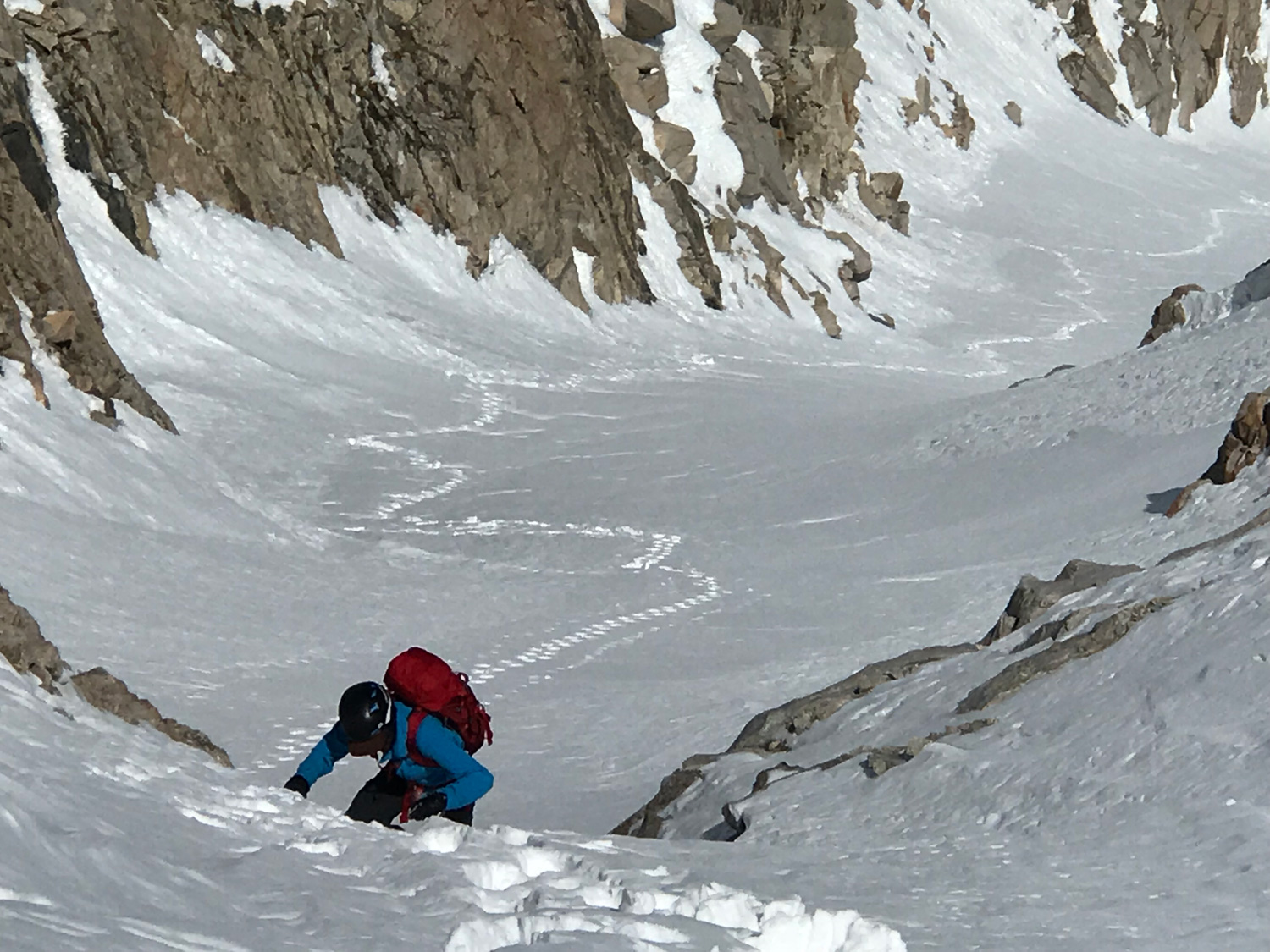
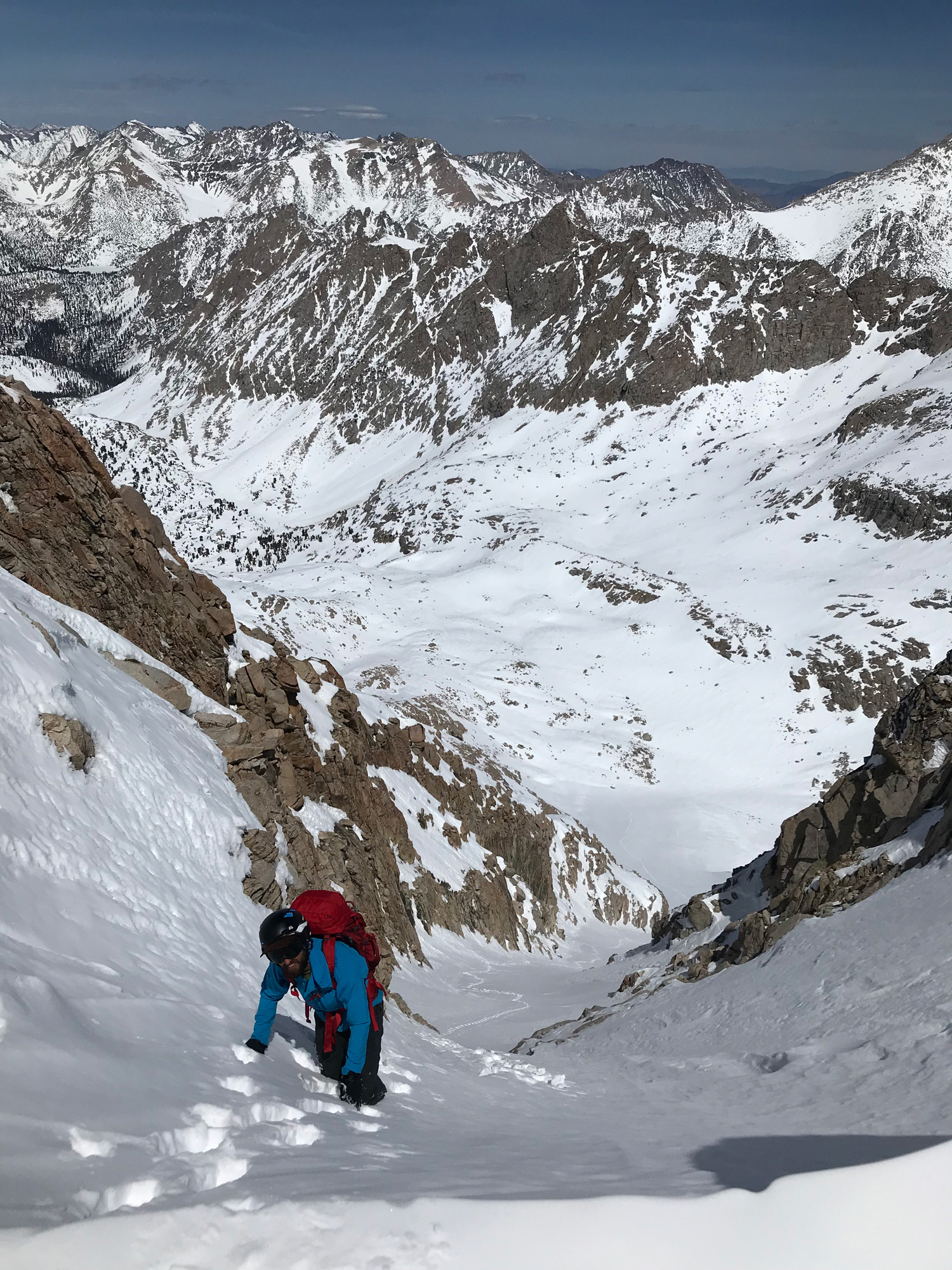
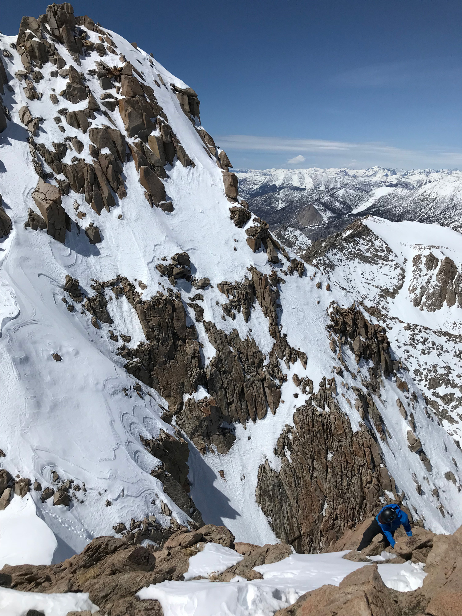
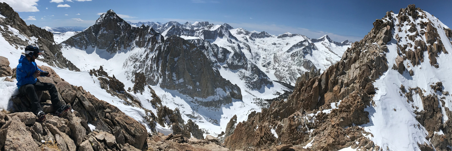
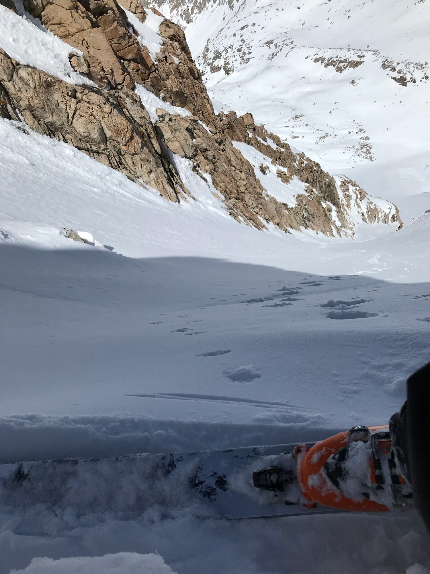
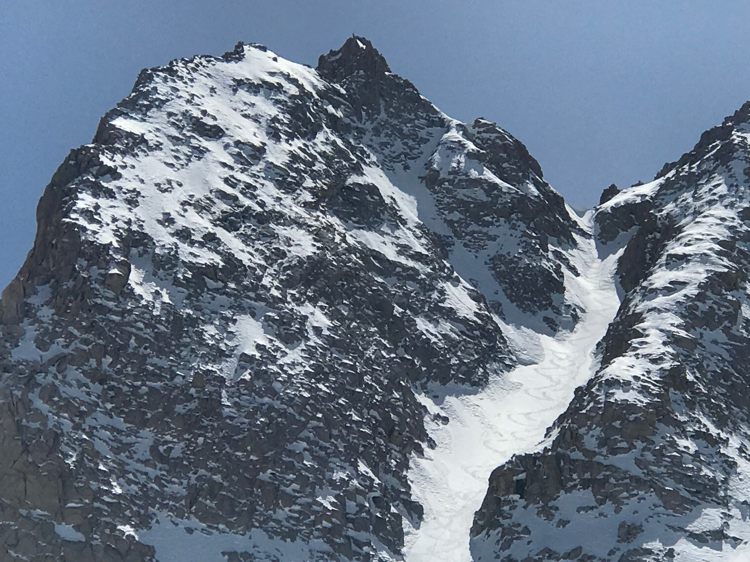
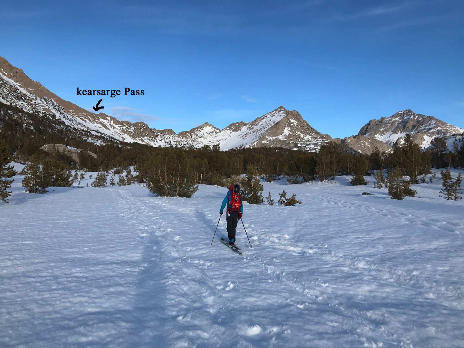
Deerhorn Mountain is an overnight ski tour you are likely to have all to yourself. The top few hundred feet of Deerhorn’s twin peaks are seen from Kearsarge Pass, a 2600′ climb from the 9185′ Onion Valley Trailhead. I skied this tour with Danny Shimnon in the first few days of April 2018 with 2 nights out in the backcountry. It would be easy to do it with only one day camped at Bullfrog Lake, but you might as well ski some more terrain while you’re carrying that 40lb pack! This is an expert only ski descent, which holds a 35-40 degree slope angle the whole way. Topping out on the couloir involves about 200′ of even steeper slope angle. Climbing to either summit involves 3rd class according to the Secor guide. We only went halfway up to the summit from the top of the couloir, which was easy in ski boots and improved the view to the west substantially. I’d like to finish some of these sketchy summit climbs during backcountry ski descents, but they don’t make a lot of sense if you need different shoes or some climbing gear. It’s cold and you don’t want to take your ski boots off way up on a high peak. And hauling climbing gear to belay a ski boot climb in 4th class is going to ruin the fun and hurt too much. Finally, a 3rd or 4th class rating may mean easy travel, until you mix some snow and ice in there. Ok, those are my excuses for skipping some nearby summits on my ski tours!
This year was a below average snow depth season and you wouldn’t want to try this peak without at least the snow coverage we found. In other words, if there is no snow to start skinning anywhere in sight at the 9185′ trailhead, I wouldn’t just launch into it anyway with some dry trail walking. This is because you will have more dry ground to walk on the west side of Kearsarge Pass, and also along the route down to Bubbs Creek from Bullfrog Lake.
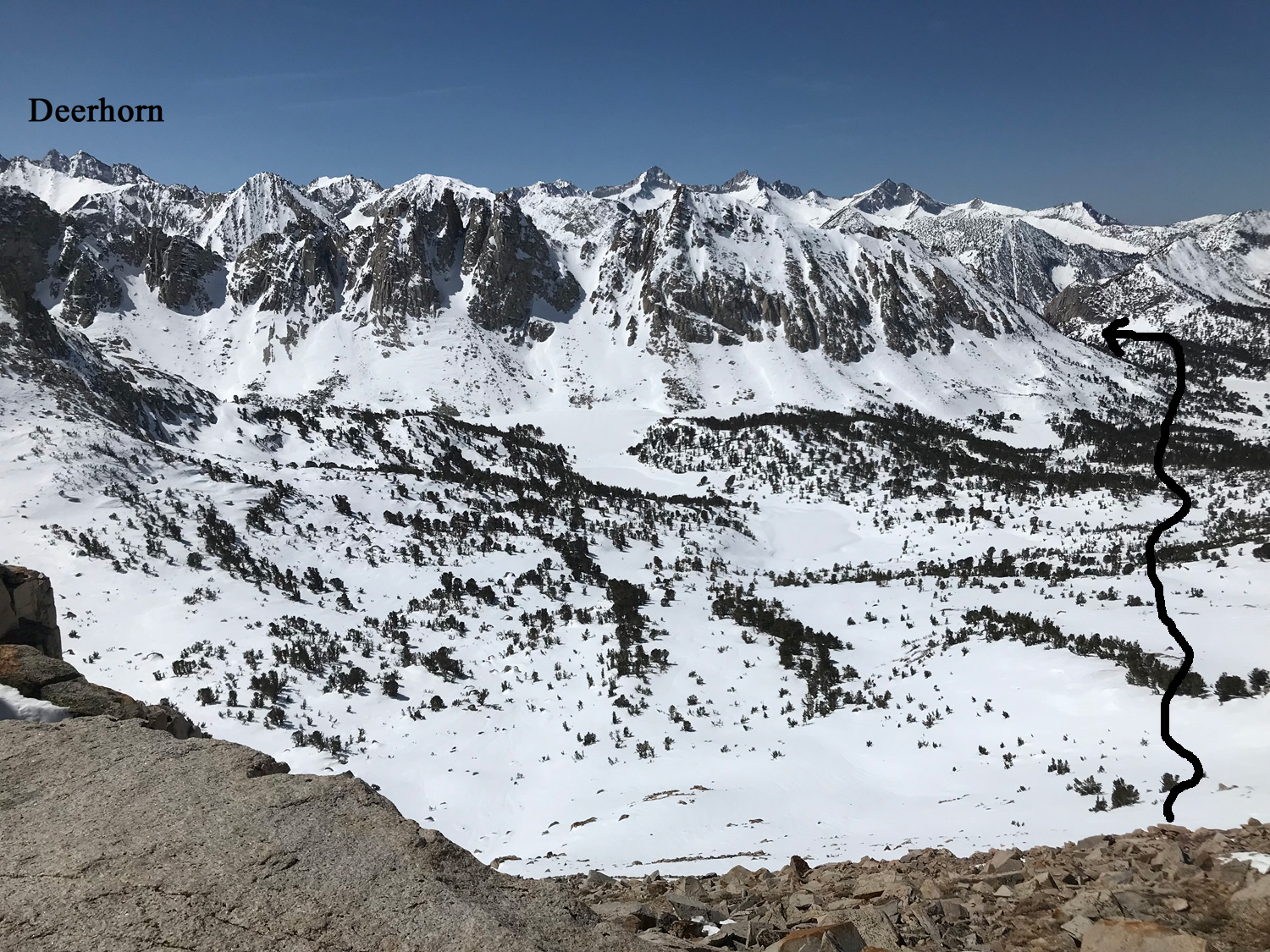
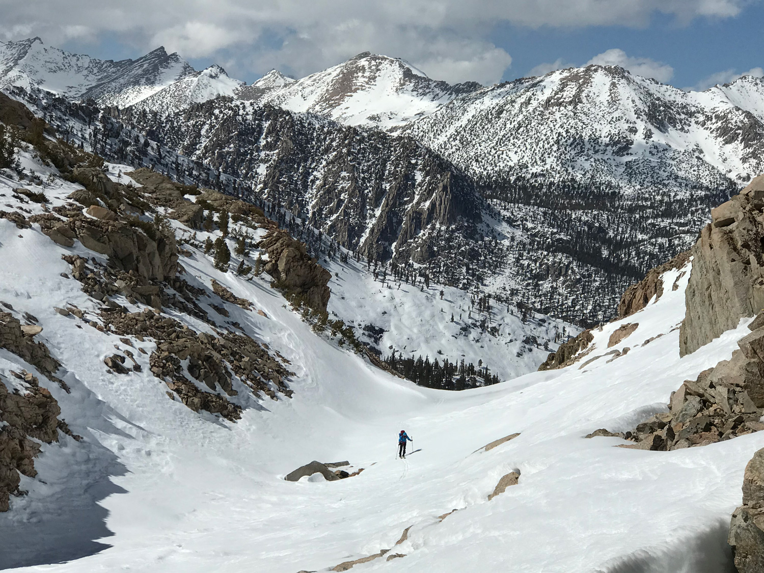
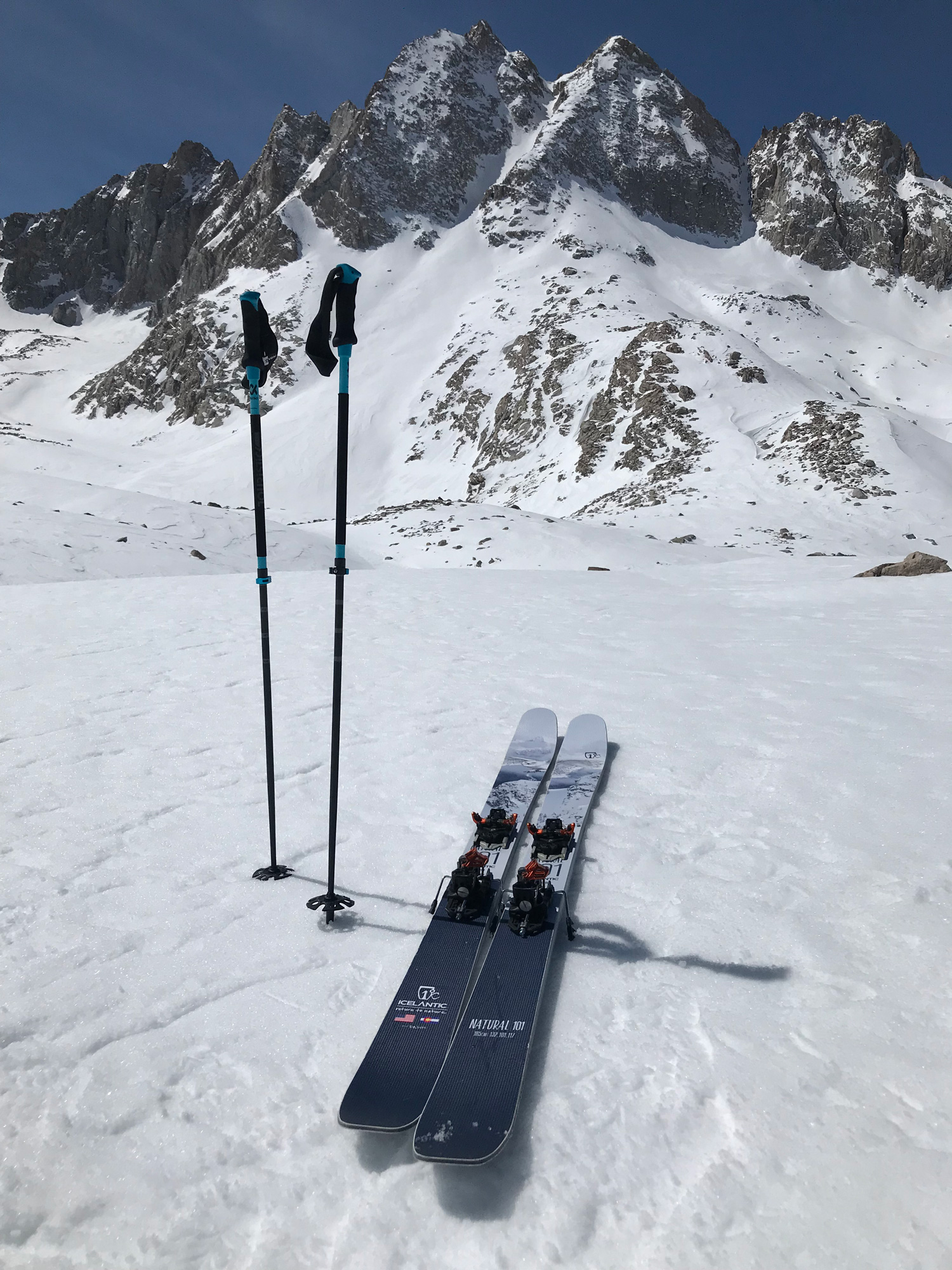
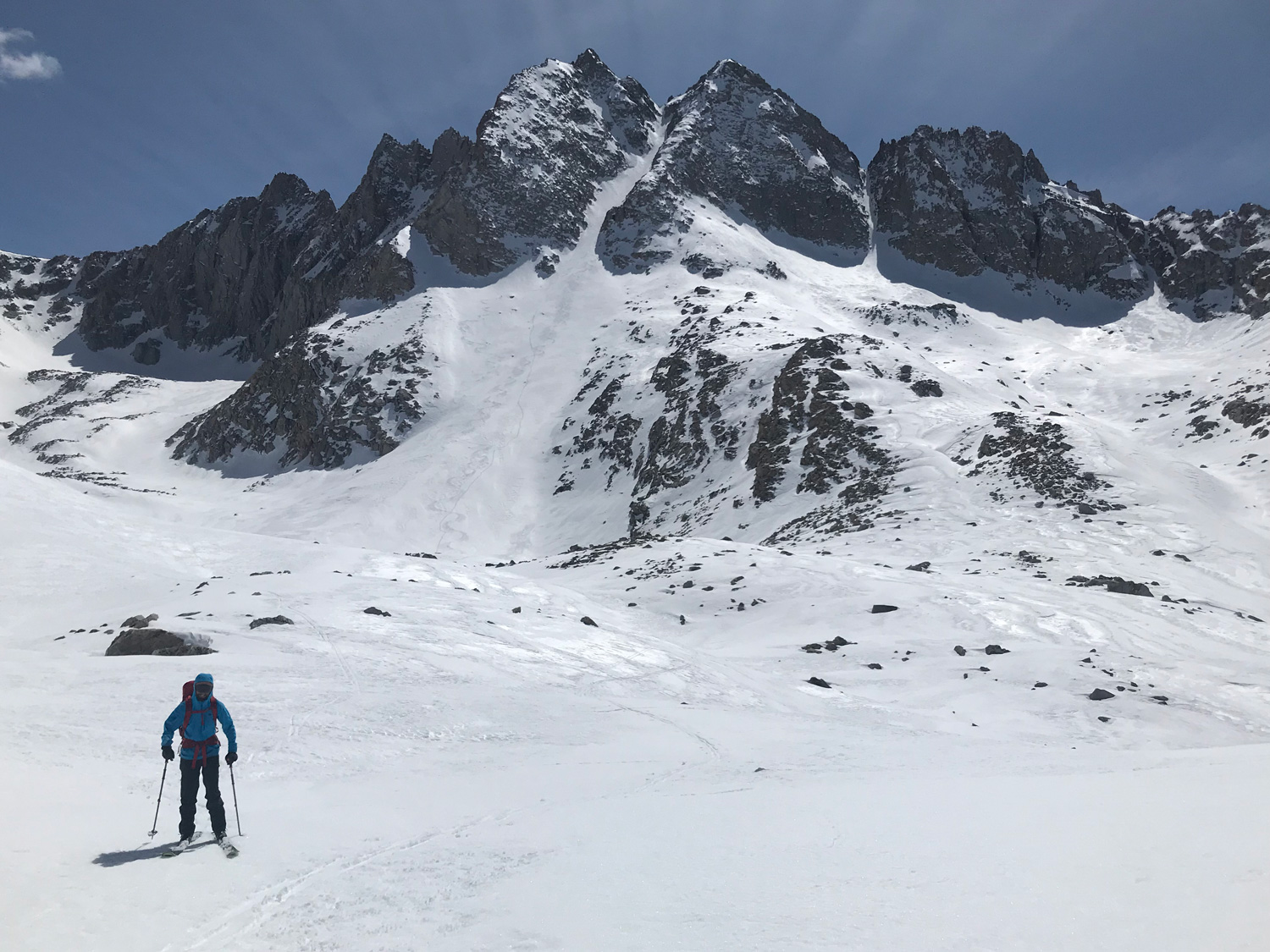
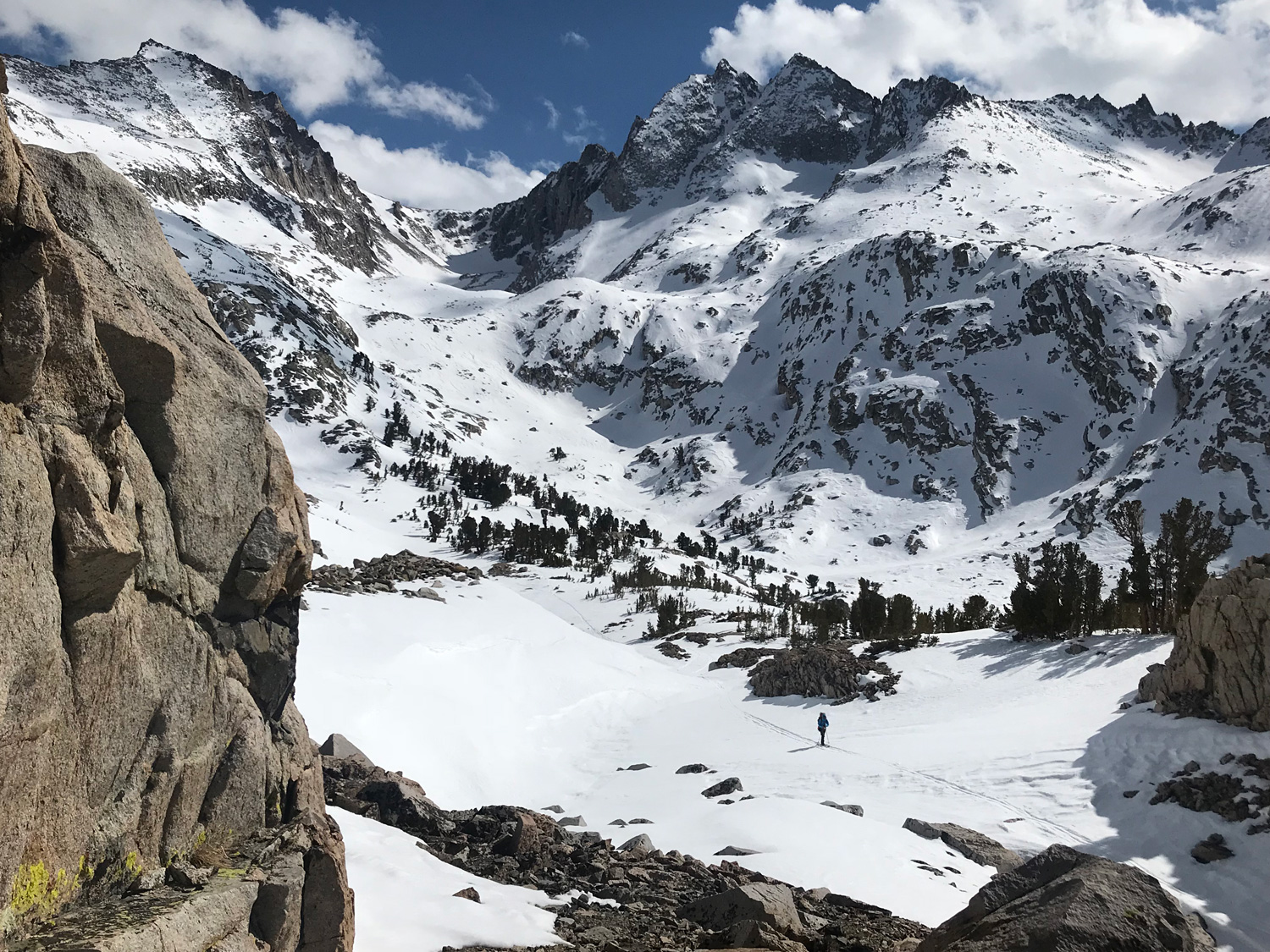
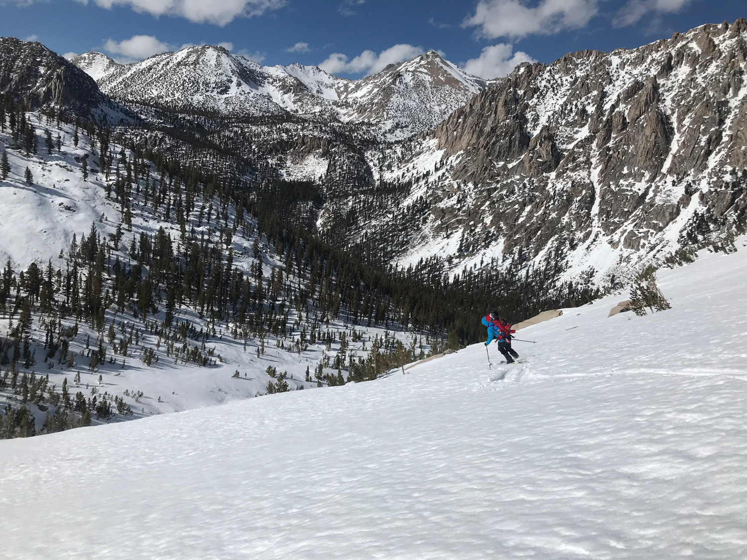
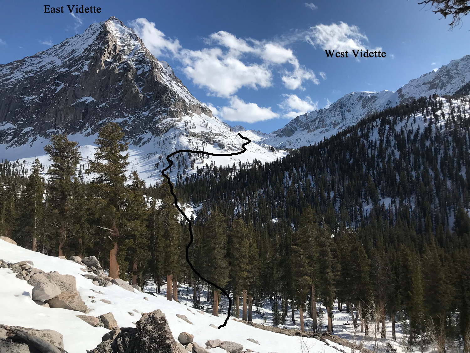
On the other hand, you are pretty much guaranteed to find plenty of snow on Deerhorn Mountain, as you will ski a protected and steep NE Couloir and Glacier for 2000′, and another fun 1640′ further down Vidette Canyon back to the Bubbs Creek crossing.
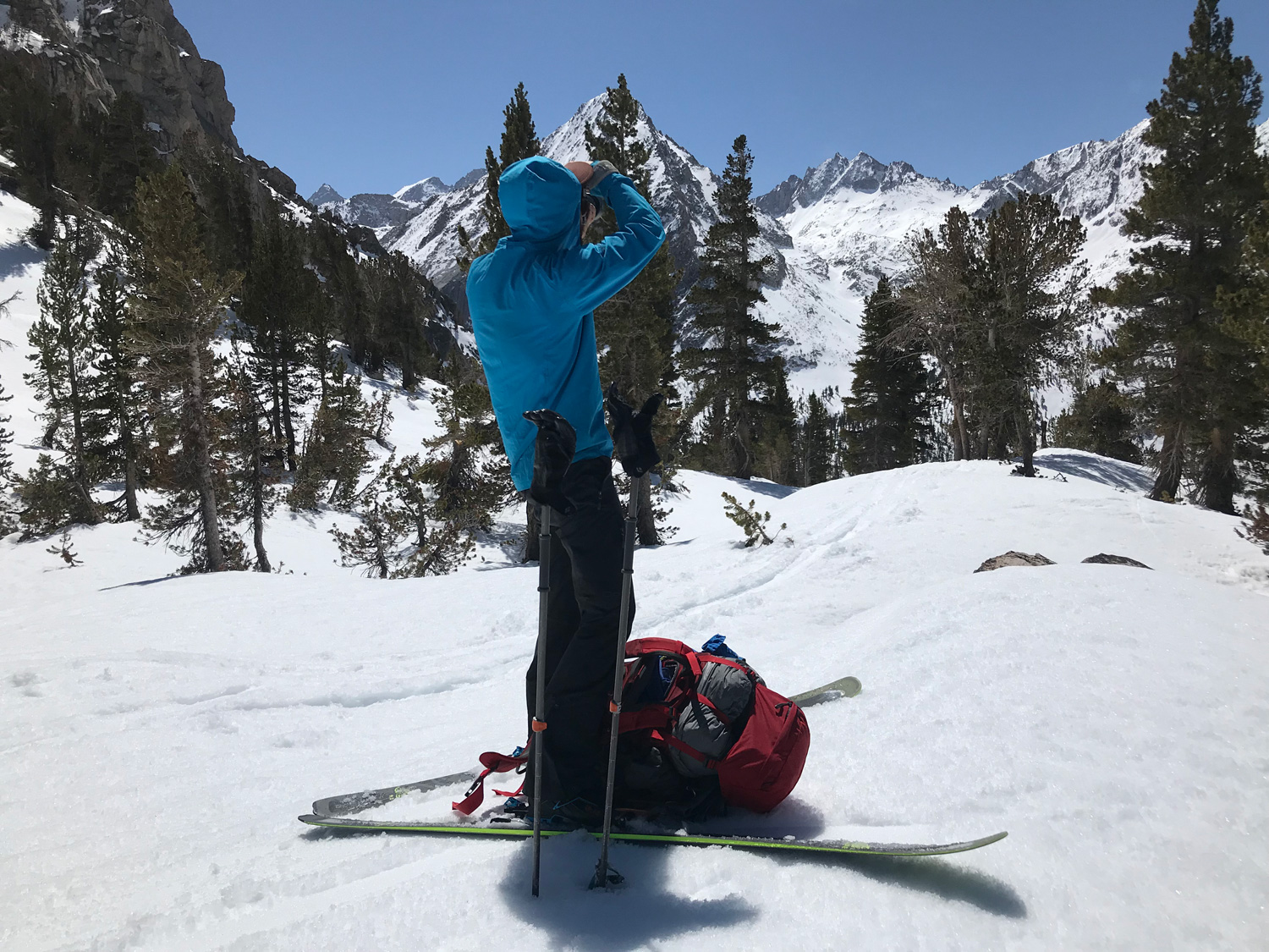
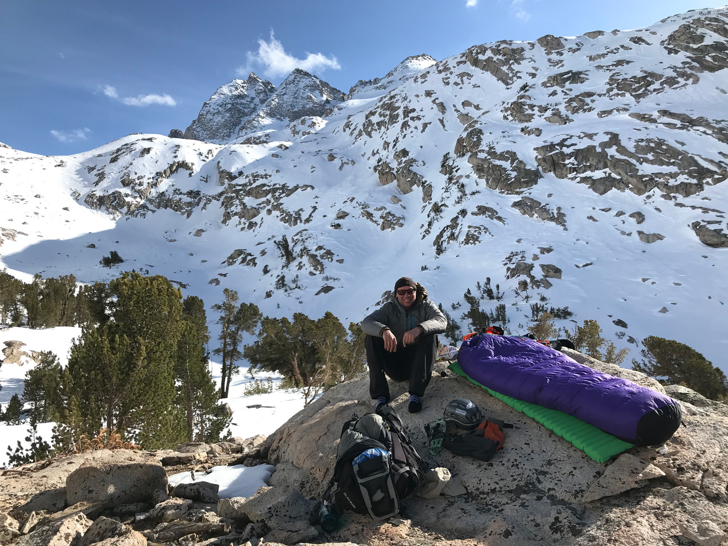
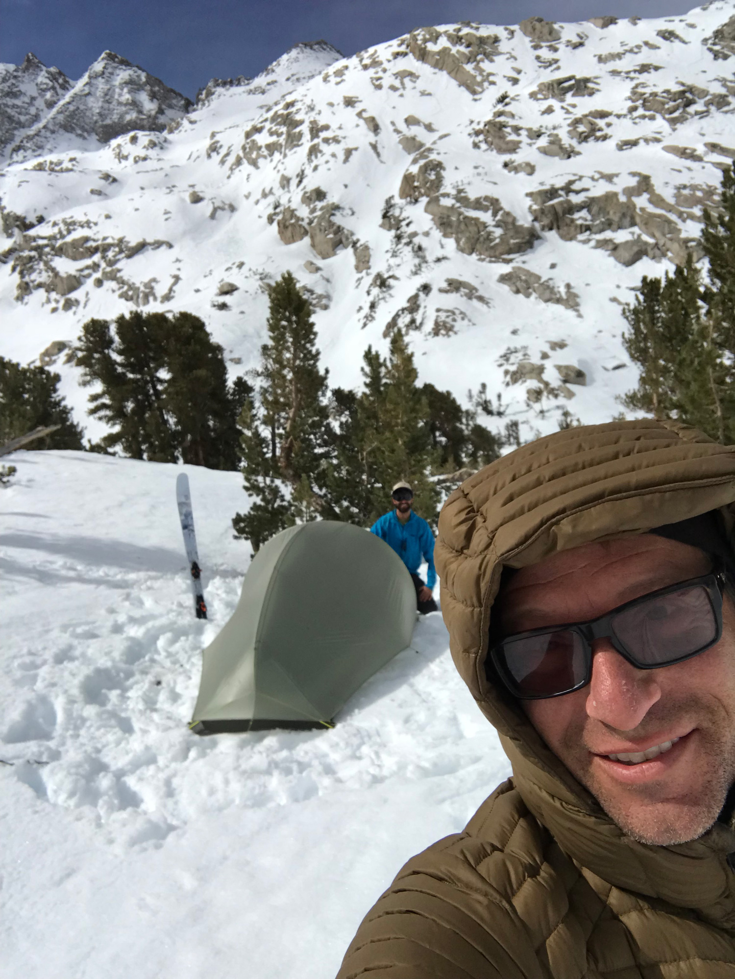
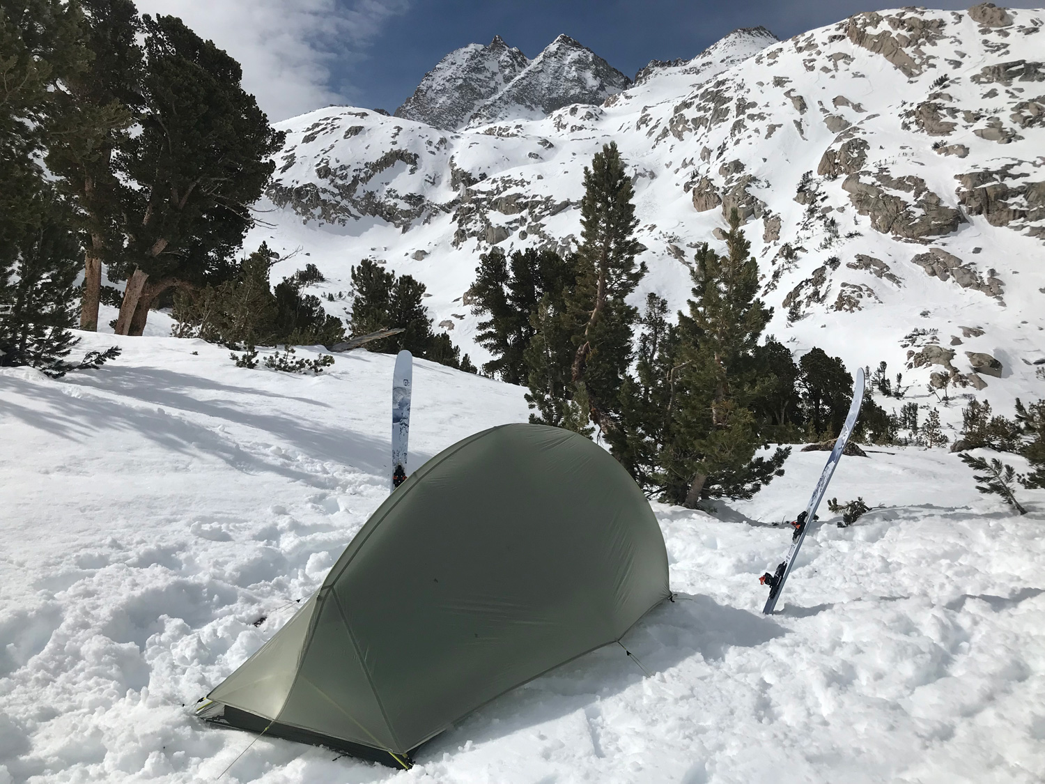
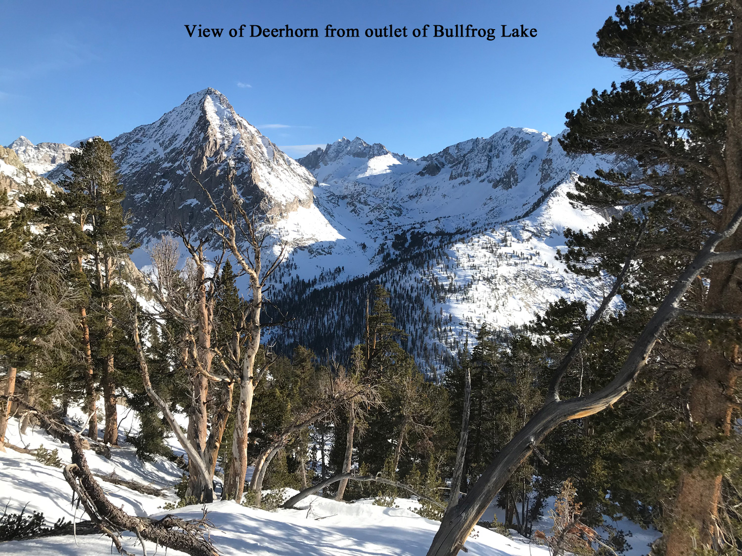
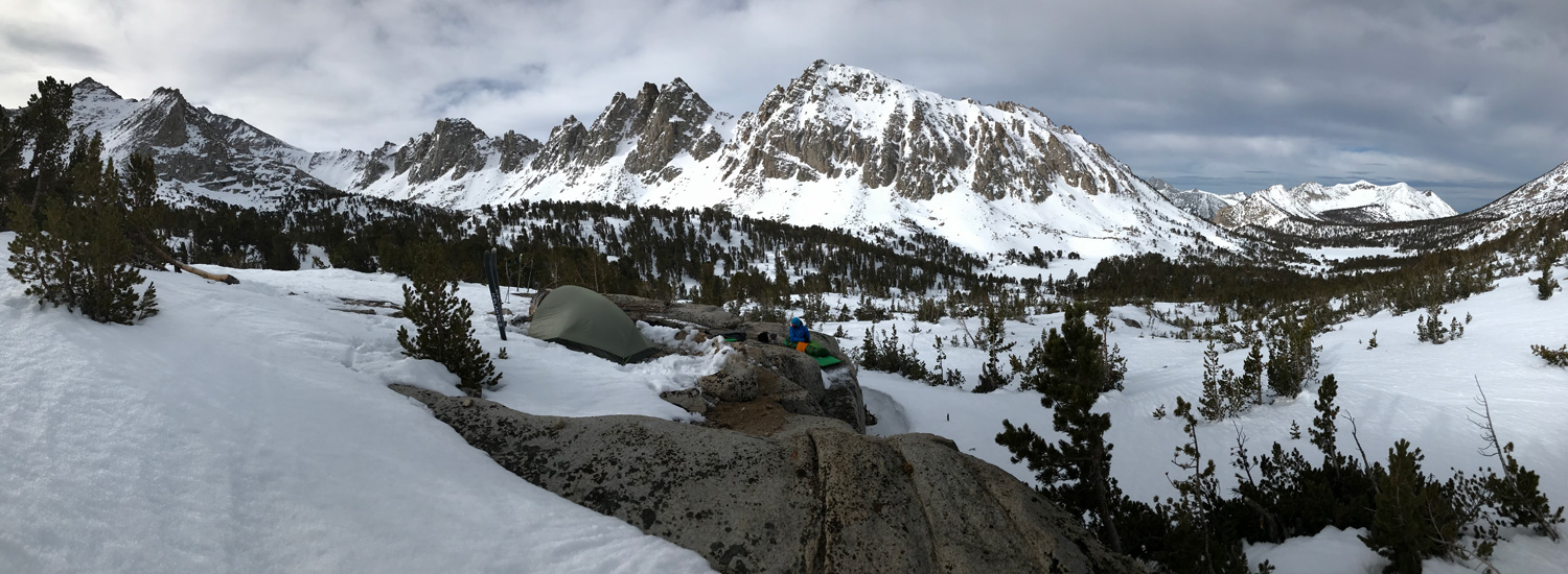
We started our skin over Kearsarge pass in the morning and easily made it all the way to the last Vidette Lake. This put us in position to start a bit late the next morning and be back to camp by mid day, pack up, and move camp closer to home near Kearsarge Pass. We could have gone all the way back for sure but wanted to ski better snow on the 3rd morning, rather than go over Kearsarge Pass in the afternoon to ski slop. If you start this tour in the afternoon, you could just cross over Kearsarge Pass and glide out to Bullfrog Lake for a camp and set up your camp at the outlet so you can see the entire route to Deerhorn from your campsite.
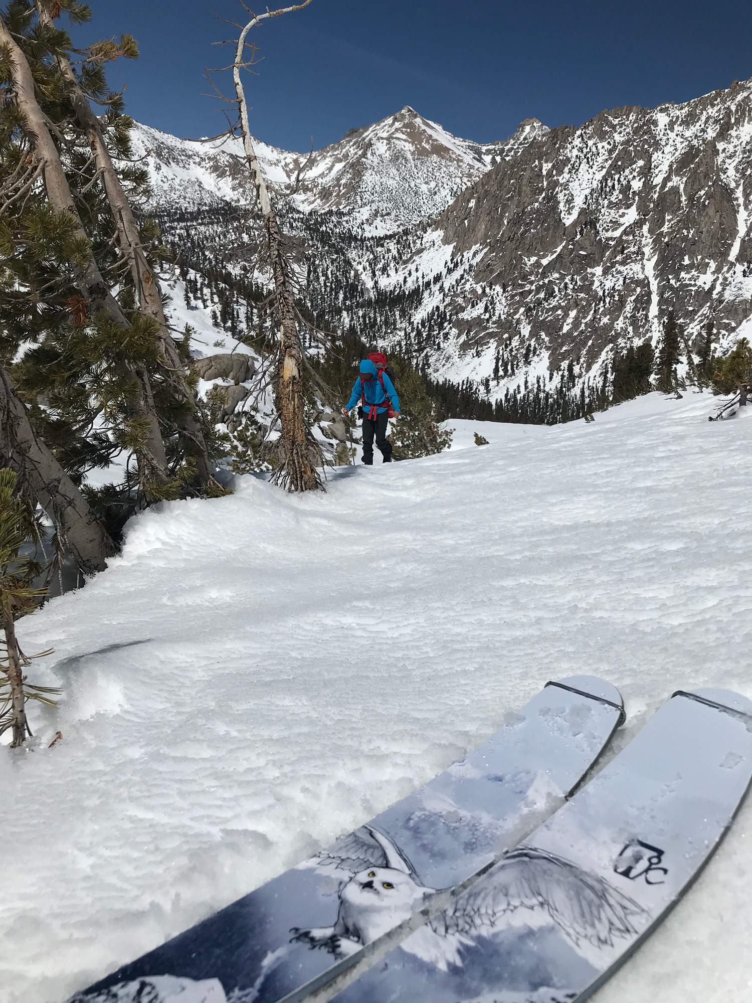
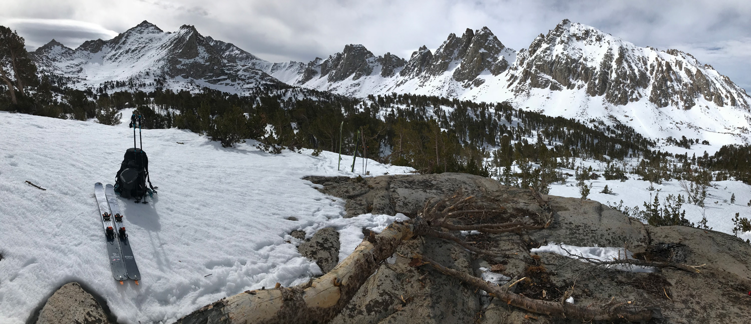
We had good advice to descend on the left side of the creek, and outlet from Bullfrog Lake. Crossing Bubbs Creek at the bottom was easy, as is finding Vidette Canyon right at this merging of drainages. The climb back up was a bit difficult to skin due to lack of snow on this lower elevation south slope. We didn’t see other terrain covered enough to ski outside of Deerhorn Mountain, but in a better snow year you could easily find plenty of terrain to ski if you stayed longer in the Deerhorn area. The West Vidette Spur looked fantastic, with many steep curving paths back to our campsite. You might also find it easy to skin over Deerhorn Pass and get to the top of Mt. Stanford.
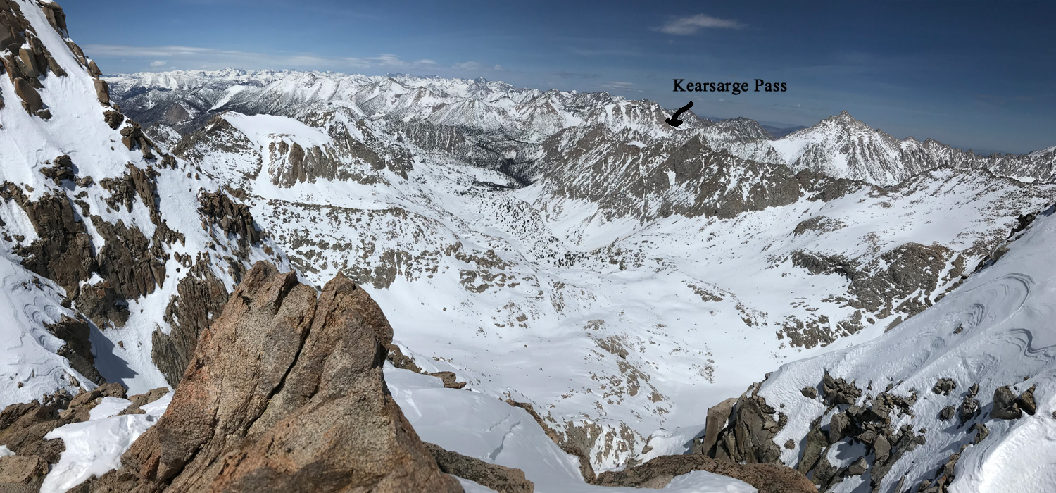
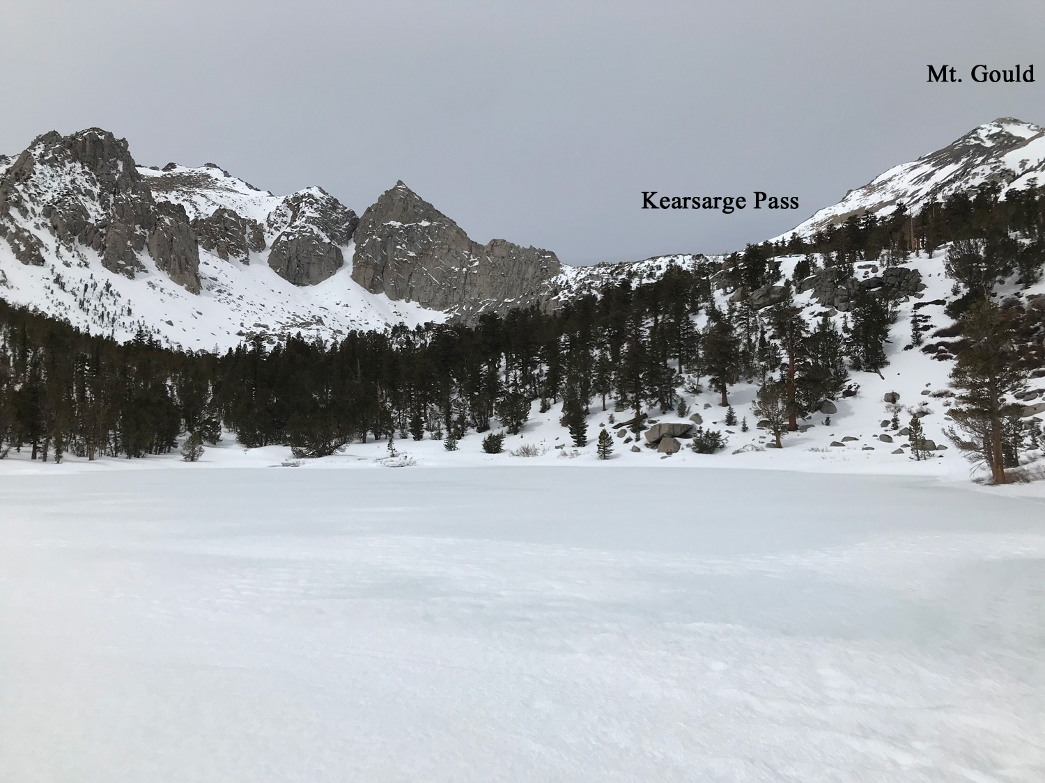
On the way back over Kearsarge Pass, the 2 peaks you could ski without going too far out of your way are the South side of Mt. Rixford, and the South or East side of Mt. Gould. I’ve included ski tours on the website here for those peaks, but you can figure the out by sight. There was enough snow to just barely do these for us, which again was a low snow year. Friends skied Mt. Brewer by this same approach, which Danny and I did the following year. My Brewer Creek post is on here too. They followed Bubbs Creek west to join East Creek. So in a 4 day trip you could do both Deerhon and Mt. Brewer, leaving camp setup down at Vidette Meadow and getting up early on both summit days.
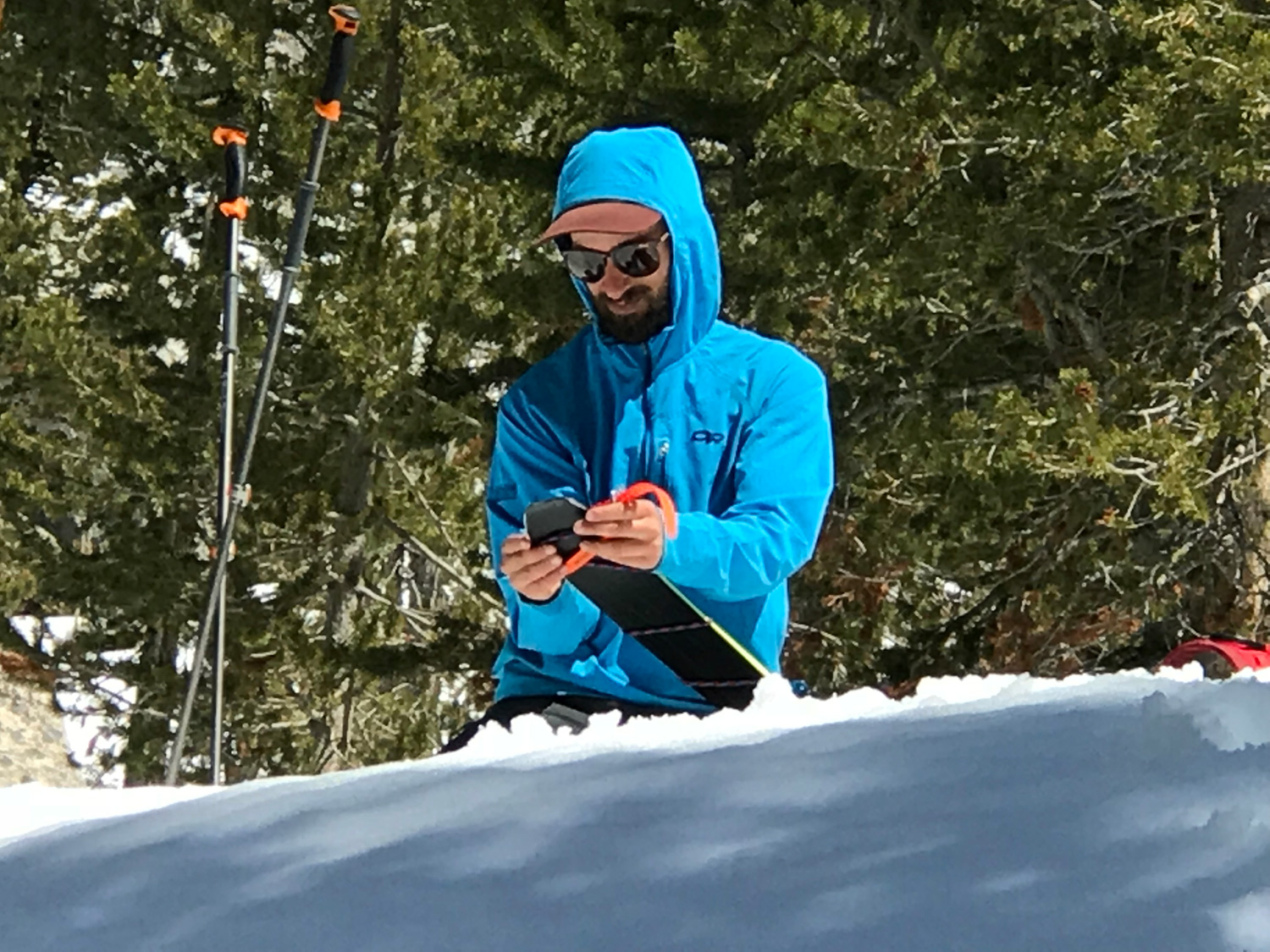
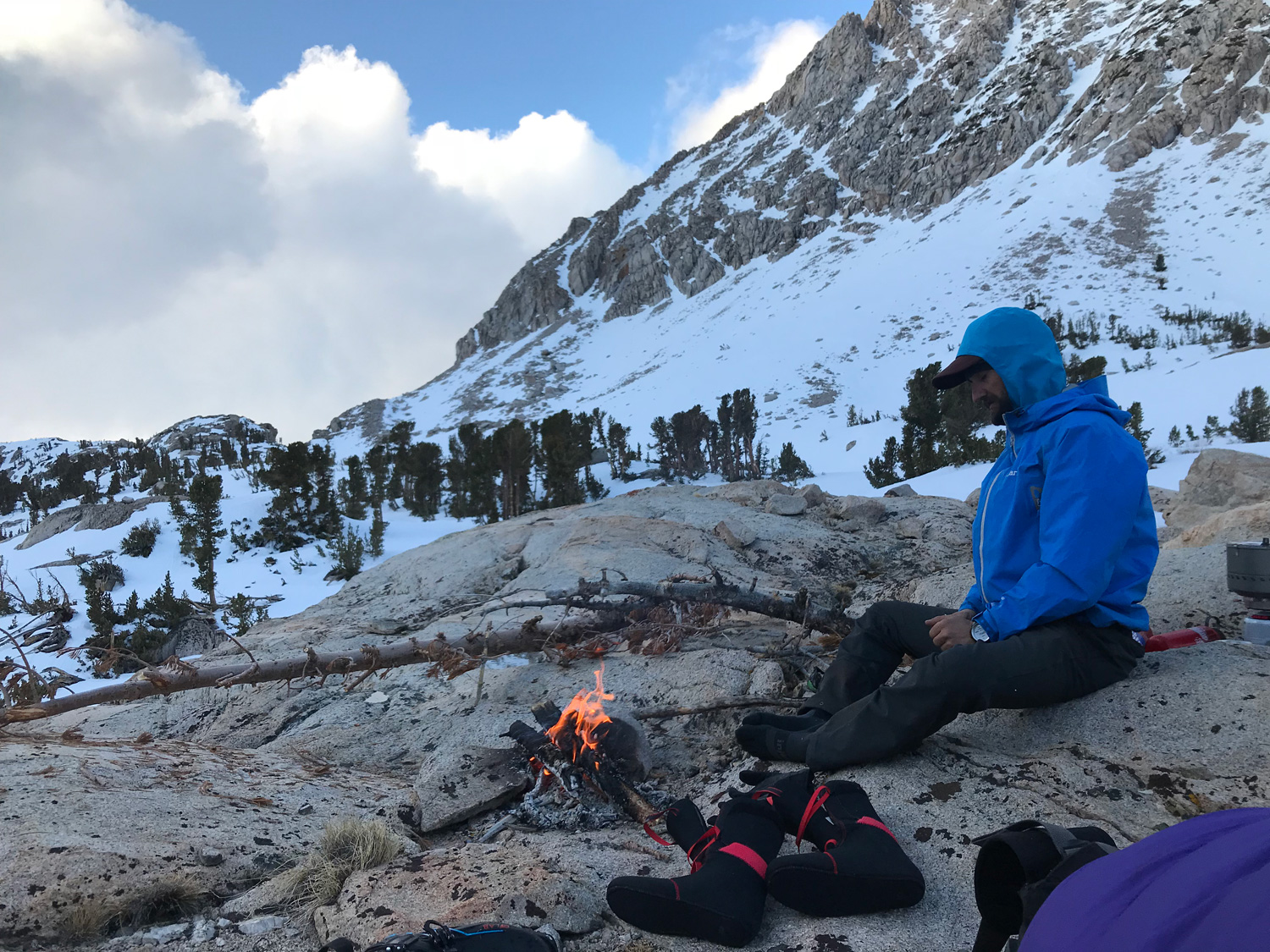
Oh, bring 40′ of 4-6mm chord. Because if you lose your skins like Danny did, you can limp along fairly well by wrapping each half around your skis. Bring a few extra voile ski straps and I think he used a trucker hat hitch or something like that at the tail.
If you do this ski tour, or any of the tours in this website guide, please post a few pictures and tell us how it went in the “REPLY”. Thanks!

Looking for awesome ski and splitboard tours in the Sierras? We’ve got write ups on many common and uncommon tours curated by the owner of the BackCountry, Mike Schwartz.


