Location: South Shore – Lake Tahoe, CA
Duration: 1.5-2 hours
Elevation Change: 2,289′ – from 6,606′ to 8,895′
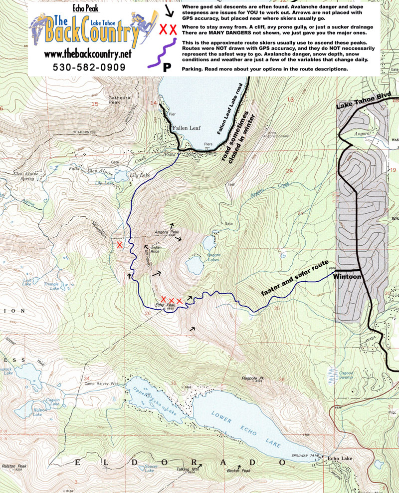
Recomended Map: Echo Lake, California
Elevation Profile:

Map of General Route:
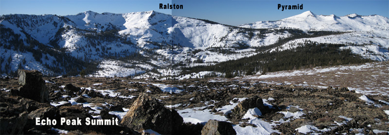
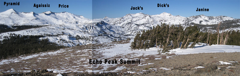
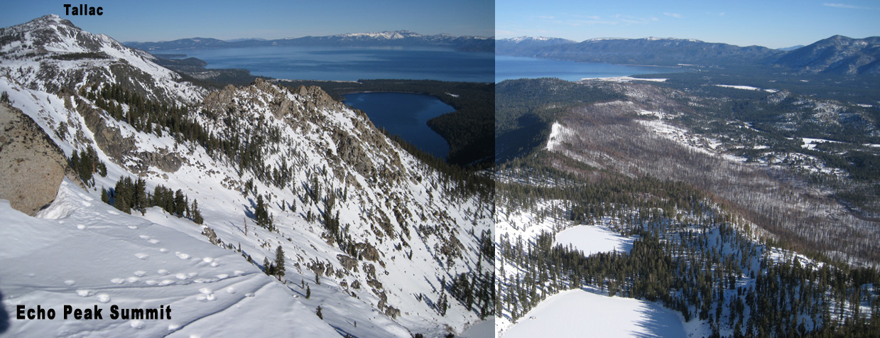
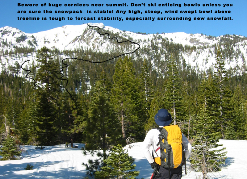
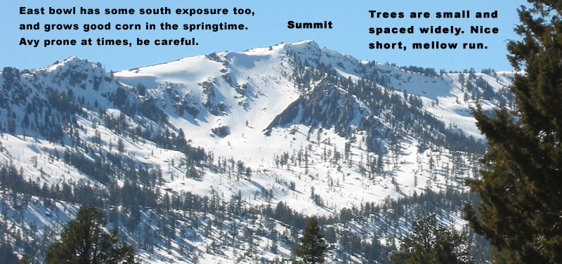
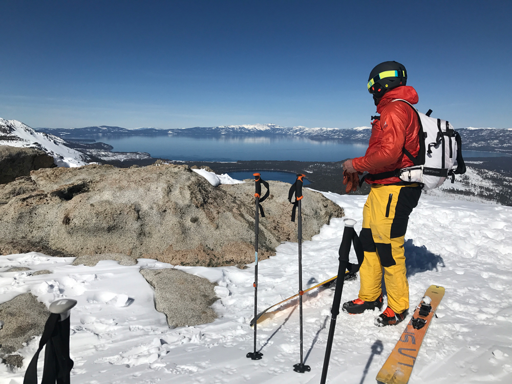
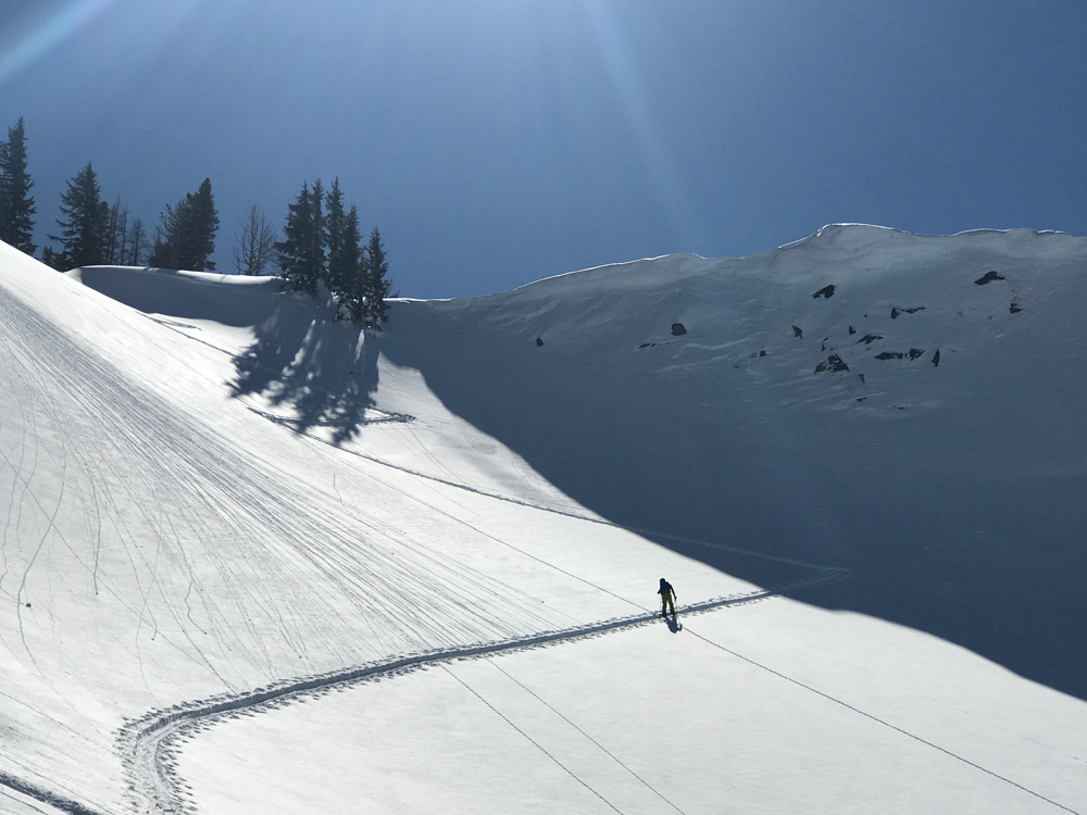
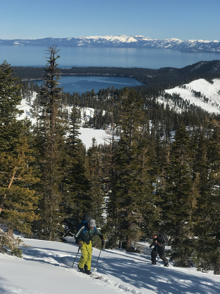
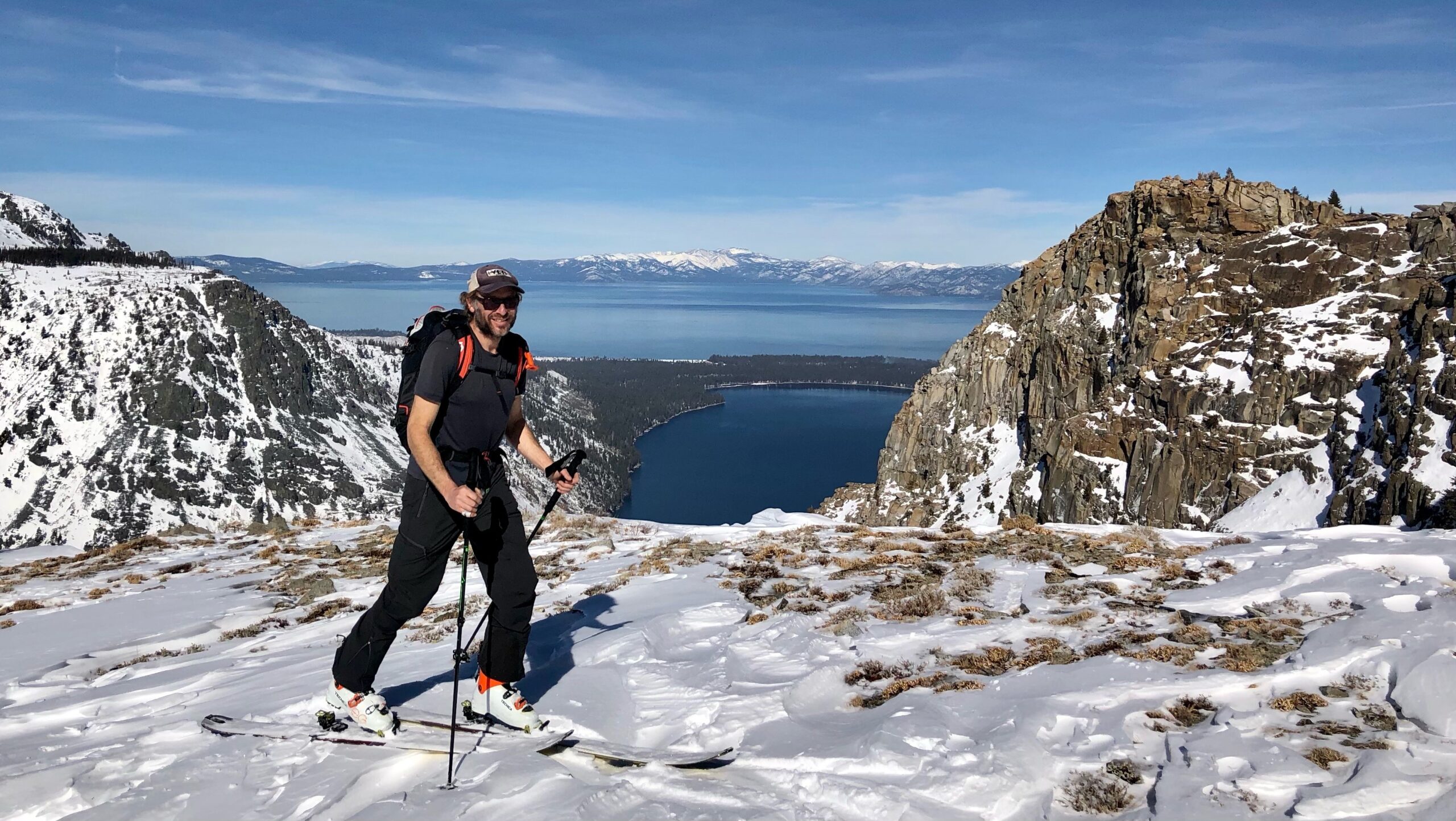
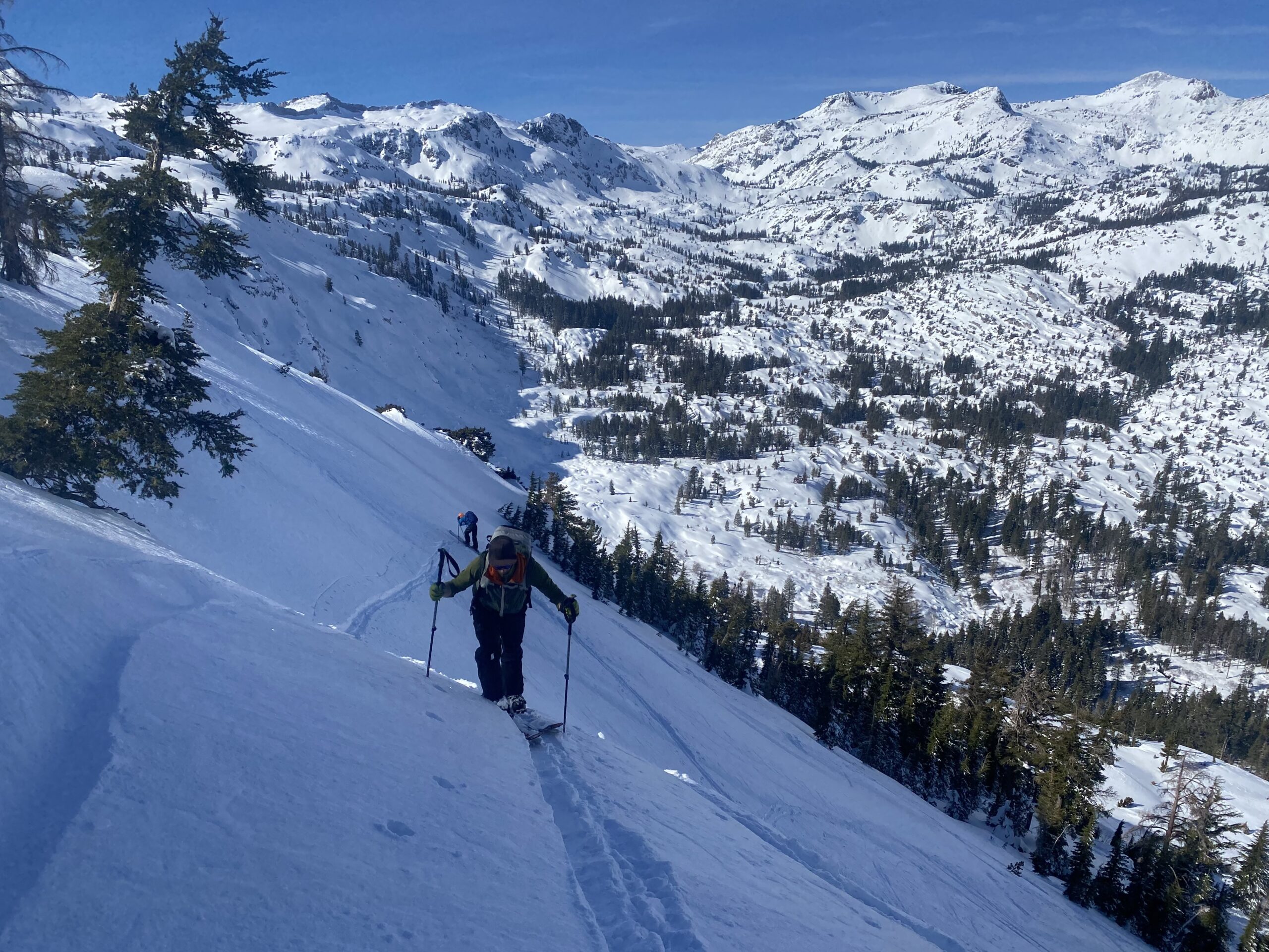
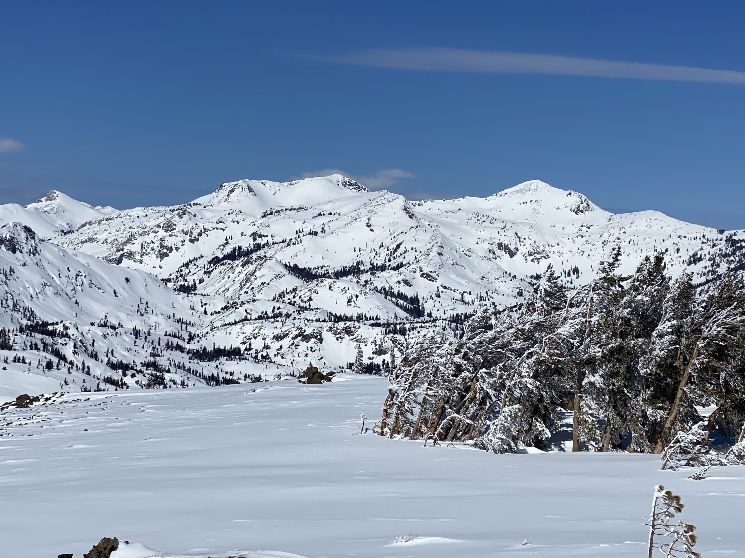
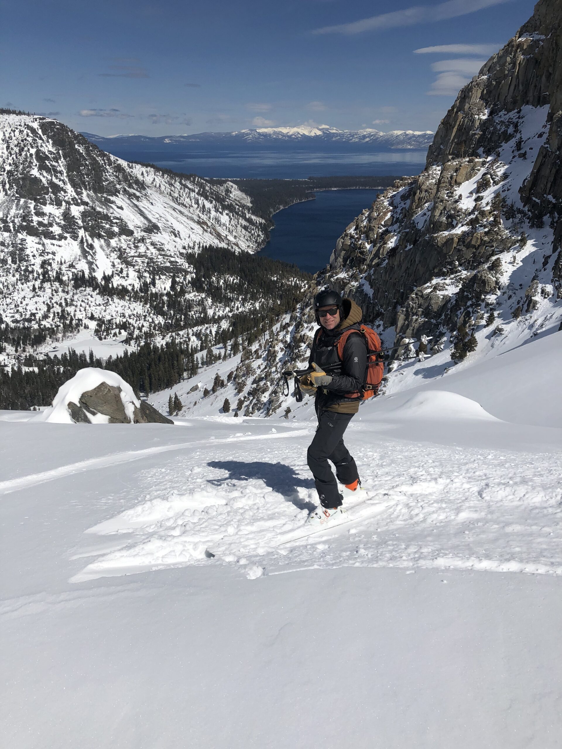
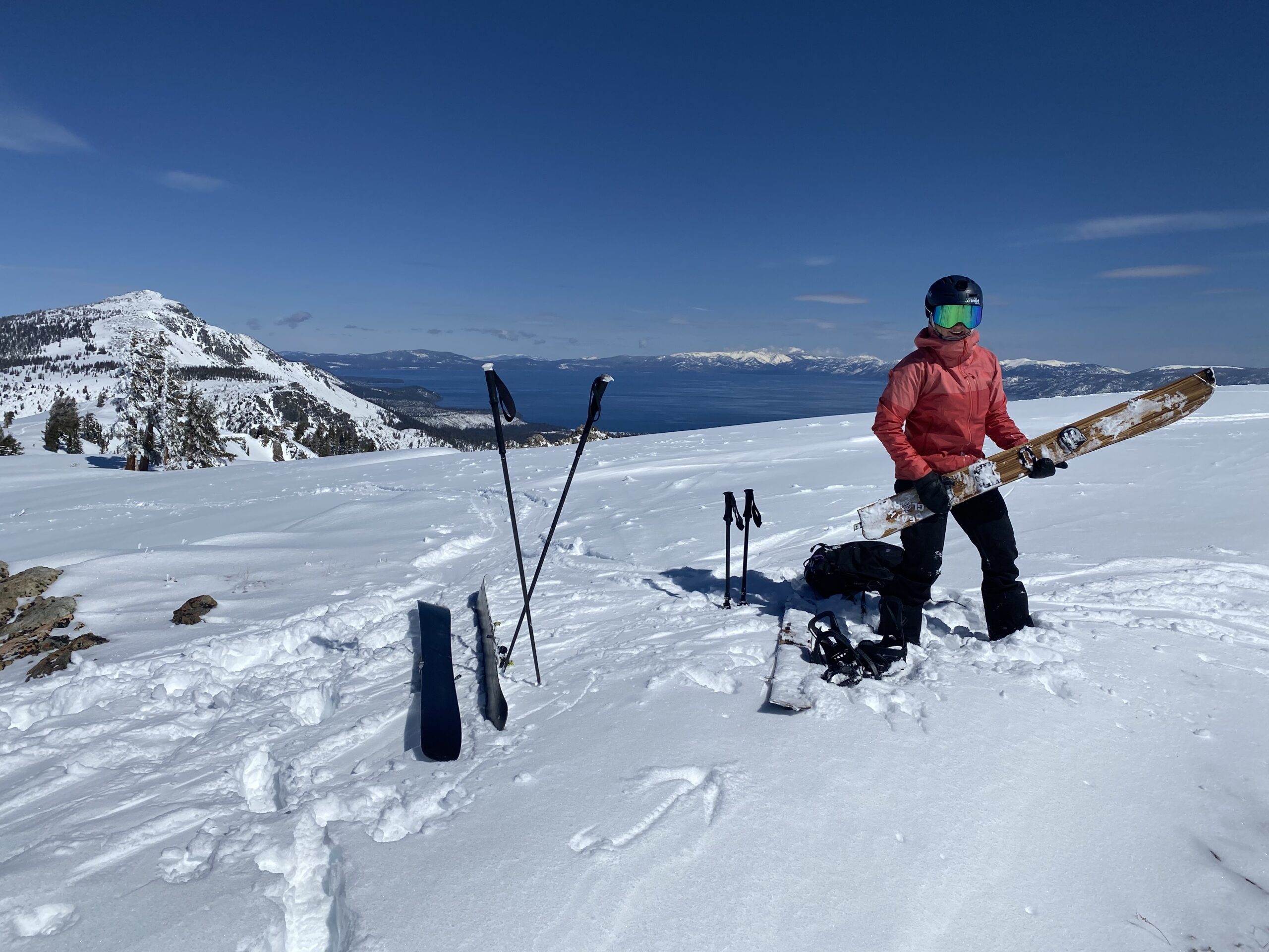
Echo Peak feels like the little brother to Mt. Tallac to me. It has the same great qualities in a smaller package. Ok parking if we don’t abuse it, East Tree covered ridge to climb, Amazing views, skiing on 3 sides, and some hairball adventure if you want it. Echo is less busy and offers something for every skill level. The Echo Peak Bowls grow great spring corn snow on both sides of the ascent ridge, if it gets cold enough, but I usually go here for powder earlier in the year. There are huge cornices up there and only a few sketchy entrances. Most people will ski back along the same route you climb. I always wish I could stay longer on this big flat summit. You can see the Crystal Range well and also the south slopes of Dick’s and Jack’s Peak in Desolation Wilderness from the summit. You can see Tahoe really well. And you aren’t that tired yet, because it was only 2400′ to climb up there. The otherwise hidden northeast bowls of Ralston Peak and Talking Mountain will probably make it to your wish list when you see them from the top as well.
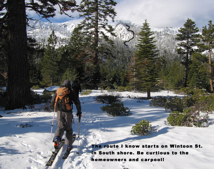
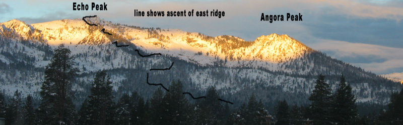
Echo peak is really a high point on a long ridge that includes Flagpole Peak and Angora Peak. Echo Peak gets you pretty close to the center of Desolation Wilderness, but there is no snow on the west slope to help you get there. The easiest and safest way to climb Echo Peak is from a dead end street named Wintoon, off of Lake Tahoe Blvd in South Shore. The homeowners on this street have been friendly towards backcountry access here to my knowledge, but always, always car pool and be quick and quiet in these situations. There may be other dead end streets that work just the same off of N. Upper Truckee Road.
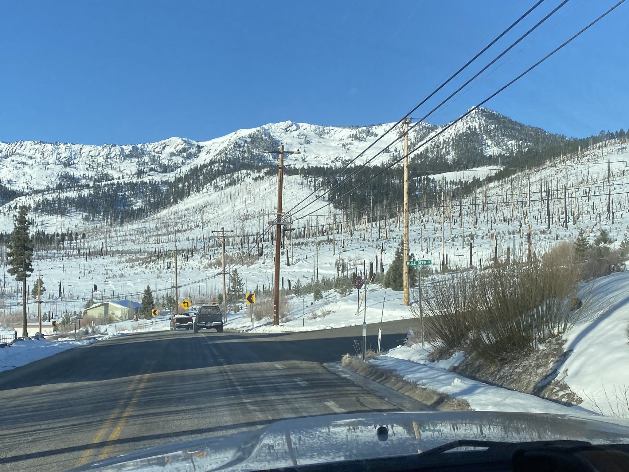
The ascent route is easy to see due to a recent fire. Look at the peak from your car, and spot the prominent, tree covered East Ridge. To find your car, you will want to remember some landmarks or use your phone.
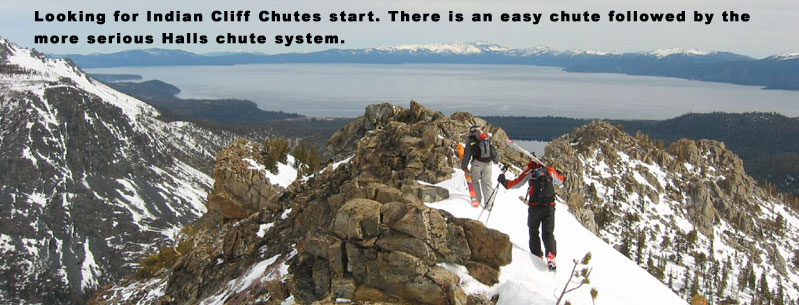
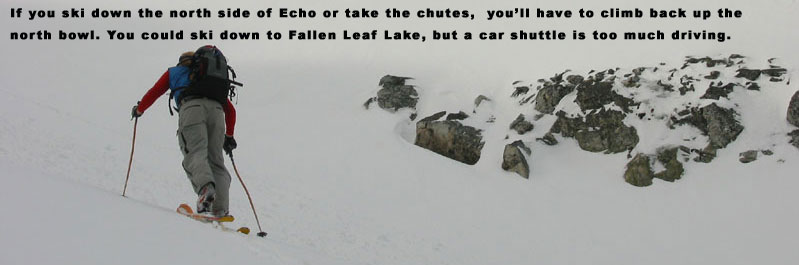
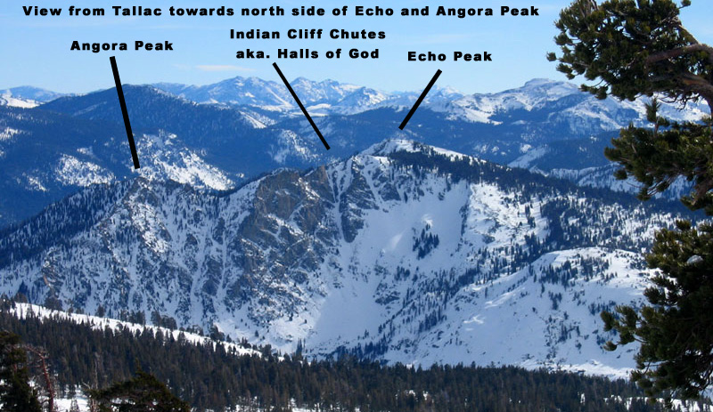
Extreme backcountry skiers will wander off towards the north facing chutes called A chute, Hall of the Gods, and Indian Cliff Chute, but you’ll have to skin all the way back up to Echo Peak. We used to park at the Angora Fire Station years ago but today the road doesn’t open until mid April, at which point North Facing Powder is rare. My map is old in this blog post, sorry! I would correct the suggestion I drew linking Angora Lake to Echo Peak. I would also add an ascent line to climb back out of the North Slope in the more low angle path next to my descent line. Getting back up to Echo Peak from the north side will involve an initial steep set of switchbacks on a NE Facing slope that you won’t want to be on in warm afternoon conditions. This 500′ slope above your turn around meadow is the avalanche problem. I have always found it to be cold and tight back there at the moment of return. I have never seen it full of debris. If you study a map you can find a work around into lower angle terrain but I have not tried it. Maybe next time for fun I’ll see how long it takes. I’ll mark an X on it in my next map even though it’s the skin track back up. If you really were back there later in the day and afraid of wet slide, you could just wait for the slope to freeze back up in a few hours. Or you cold ski back around Angora Peak through the forest. I’ve never had to do either, or heard of anyone doing this. Just saying! Every time I skin up the lower north slope of Echo Peak I find myself racing the heat of early afternoon.
If the Fallen Leaf Lake Road is plowed, you could leave a car at the end by the fire station and climb the East side of Echo Peak from Wintoon, for a tour over the mountain. If you’ve read through this guide, you know what I generally think of car shuttles. Too much time wasted driving around, when you could be skiing. I do however recommend ski tours where you experience and learn the most amount of terrain possible. I knew some guys who would do an annual car shuttle so they would ski the north side of Ralston Peak or Talking Mountain from hwy 50, and keep going over Echo Peak. I’ll have to try that sometime in a long day.

Looking for awesome ski and splitboard tours in the Sierras? We’ve got write ups on many common and uncommon tours curated by the owner of the BackCountry, Mike Schwartz.


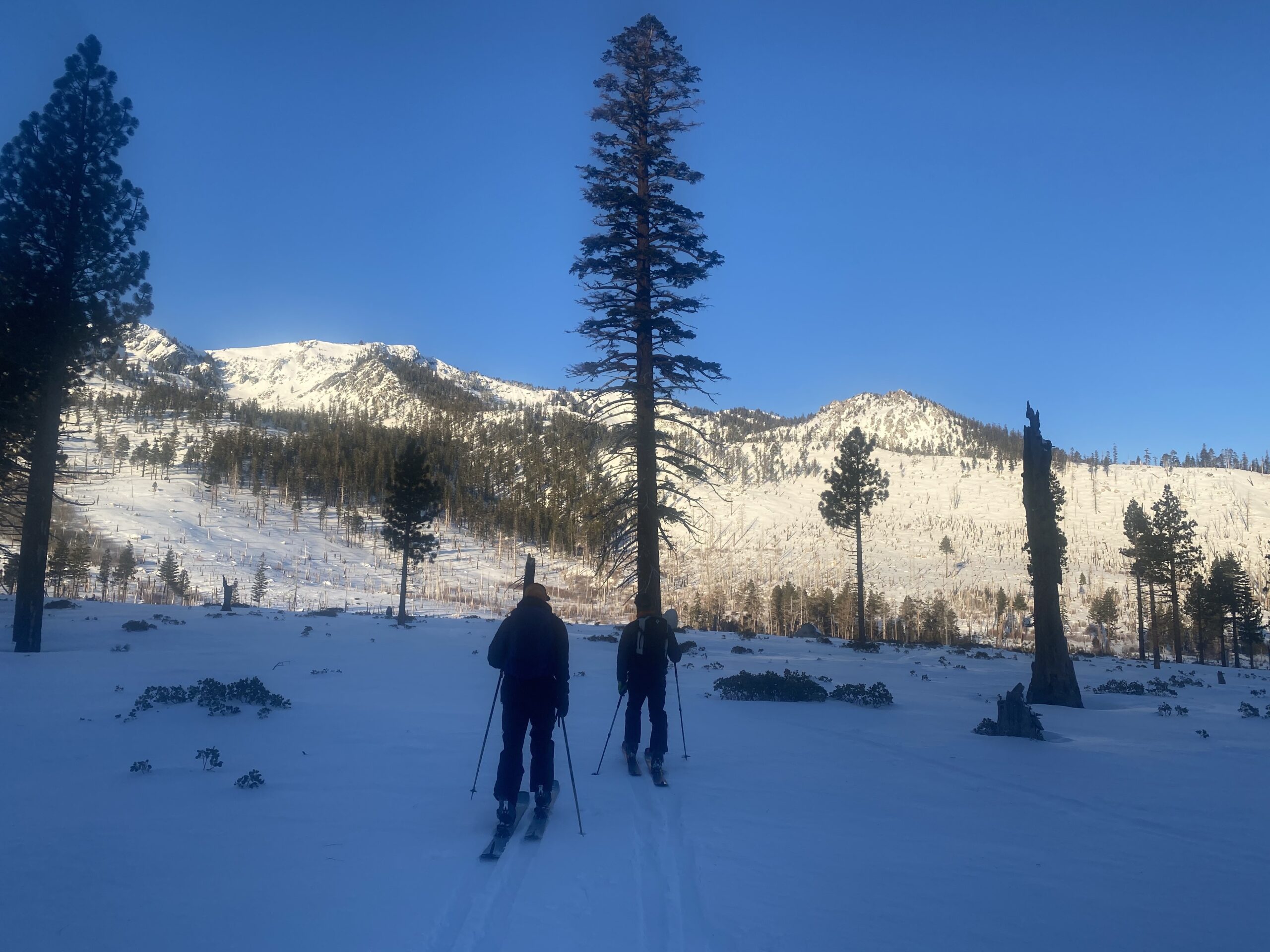


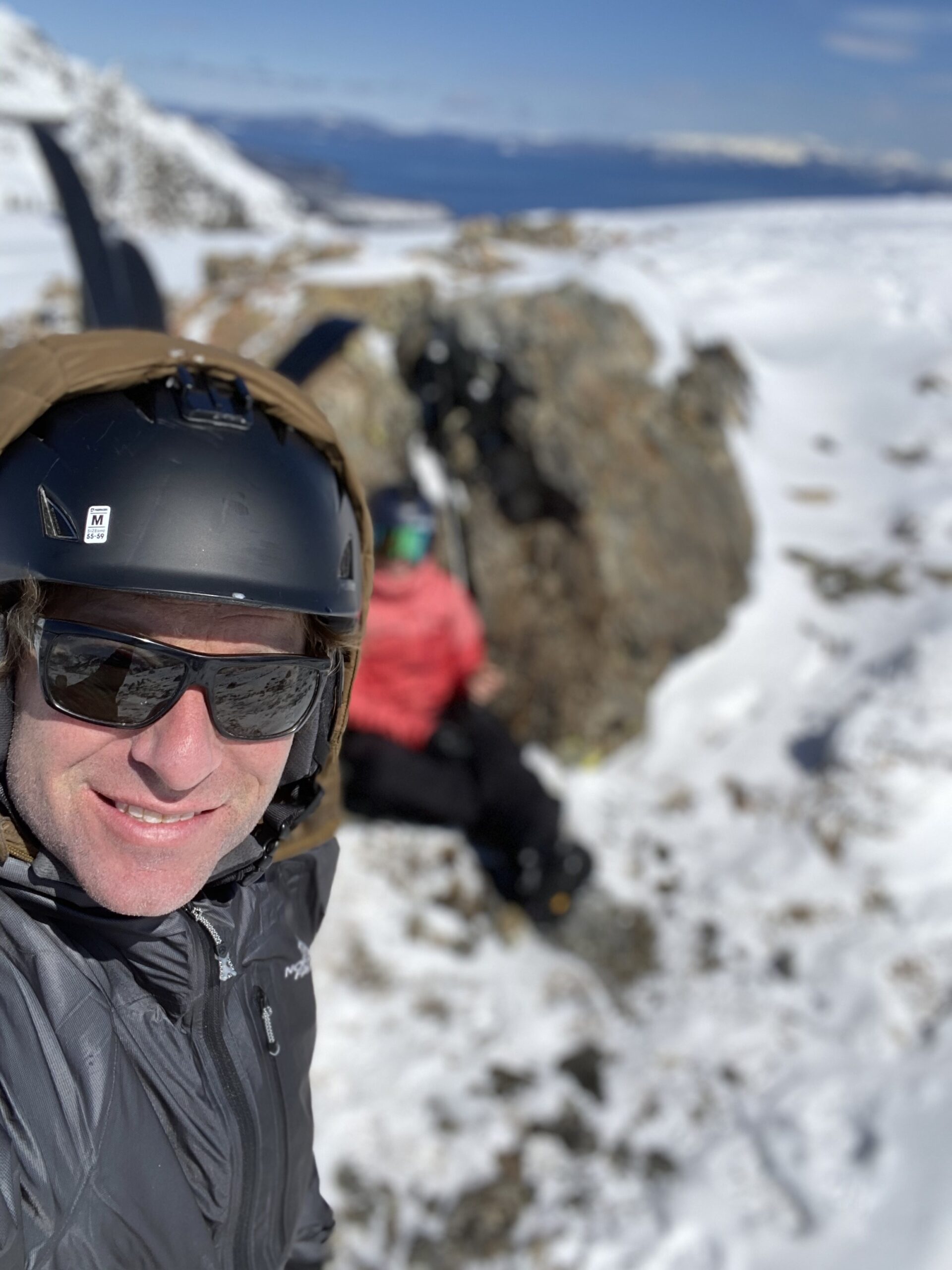

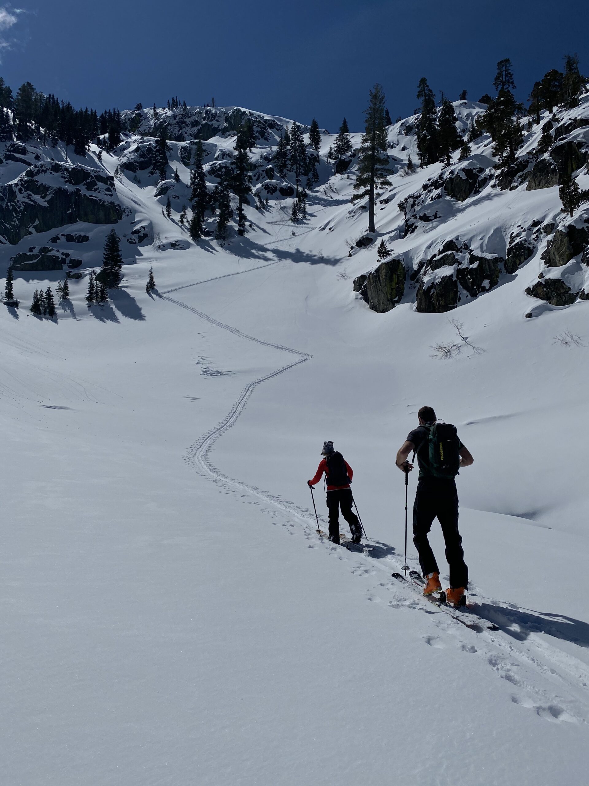
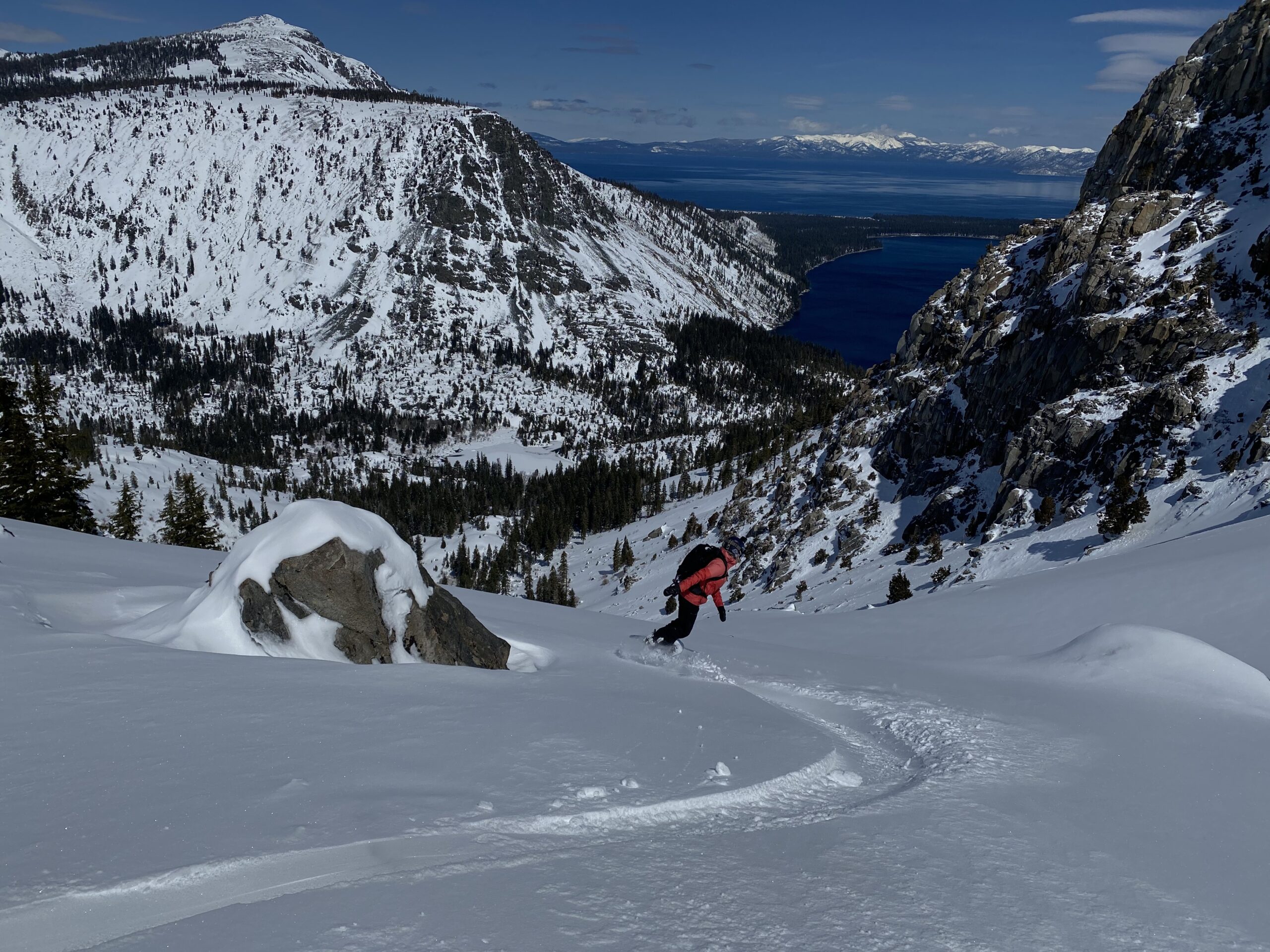


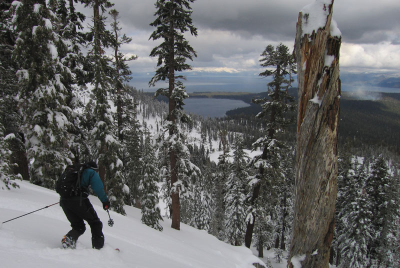
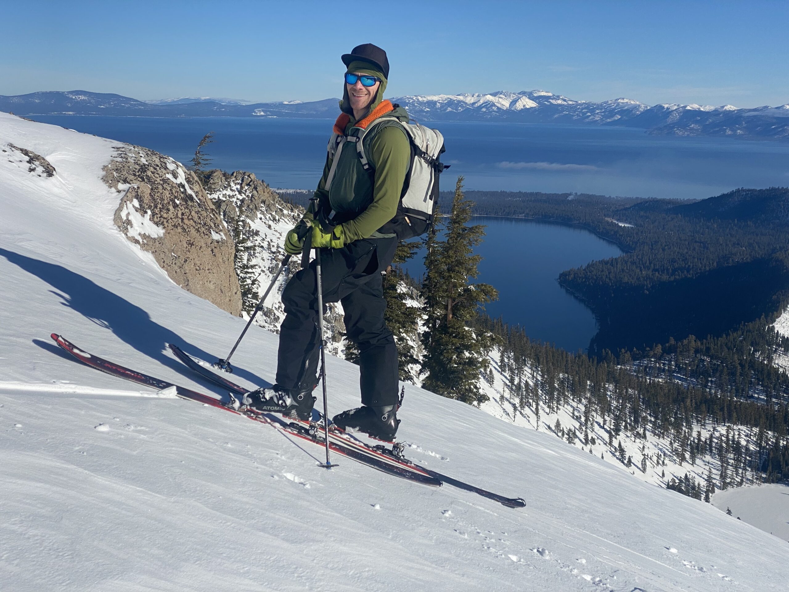
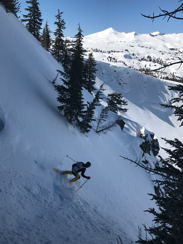
Some of our crew from The BackCountry skied Echo Peak with me on 3/17/17. We parked at the end of Wintoon Circle which was plowed out well, and skied both the North and East sides. We found great dry boot deep powder a week after the last snowfall. The steep Indian Cliff Chutes like A line and Hall of Gods was wind hardened, but the steep tree chutes just skiers left of that was money. Skinning back up is never that fun, and it’s a bit exposed back there in the wrong conditions. Thanks for the company to Paul, Brad, and Ryan!