
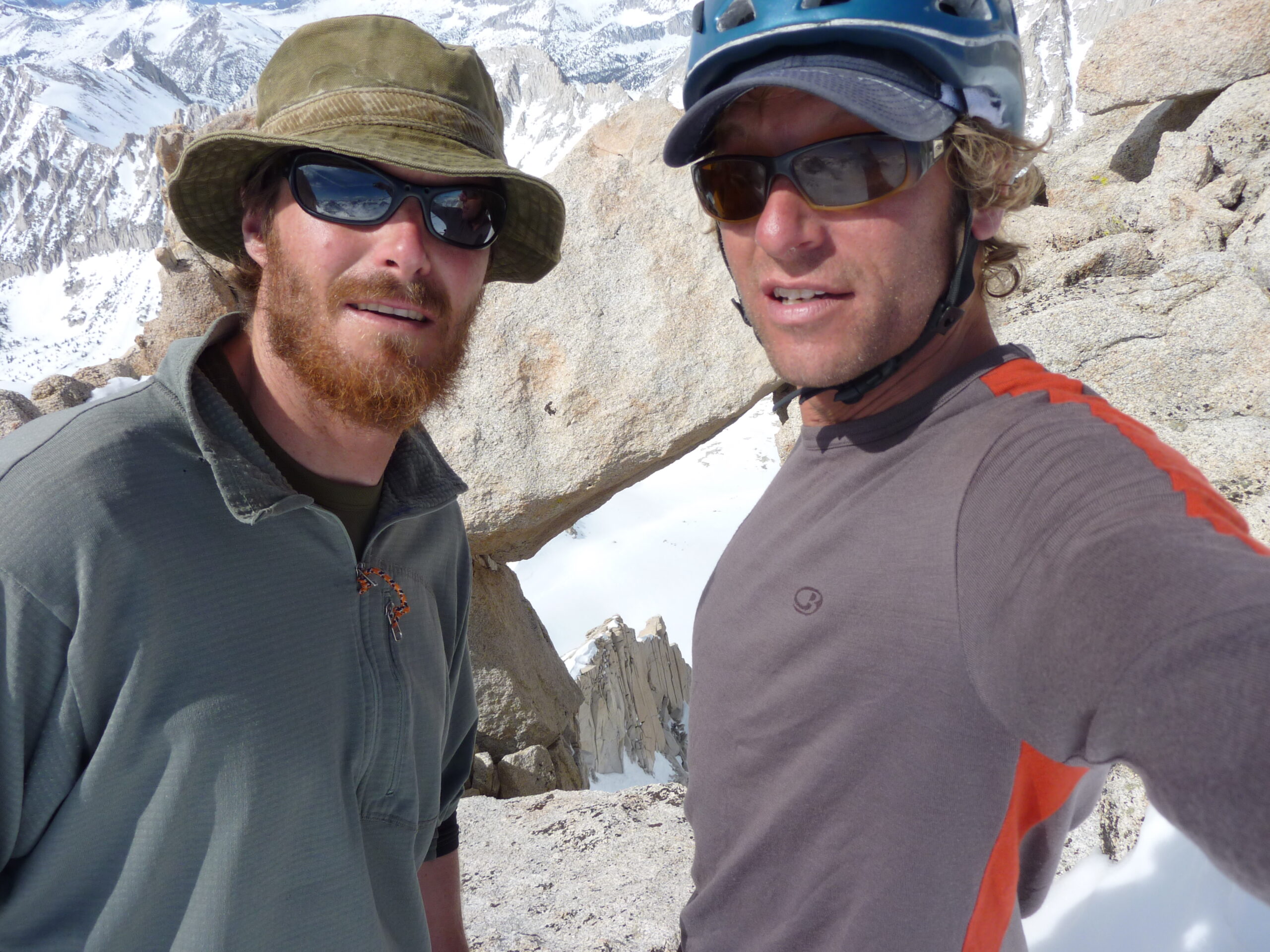
Mike & Greg
Mt. Gabb 13,471’ – Mt. Hilgard 13,361’– Julius Caesar 13,200’
On May 4 2010 Greg Loring and I returned alive from this amazing 3 day ski tour. I had seen internet pics posted by a South Tahoe snowboarder BCD who posted about Mt. Gabb. I think he went down it, I’m not sure even now. But I was doing it based on my perception of this extreme descent being possibly within my ability. Greg is up for anything and stronger than me at everything, so we went for it. I didn’t realize at the launch of this multi day tour that we would ski from the summit of 3 peaks. Gabb would have been worth it.
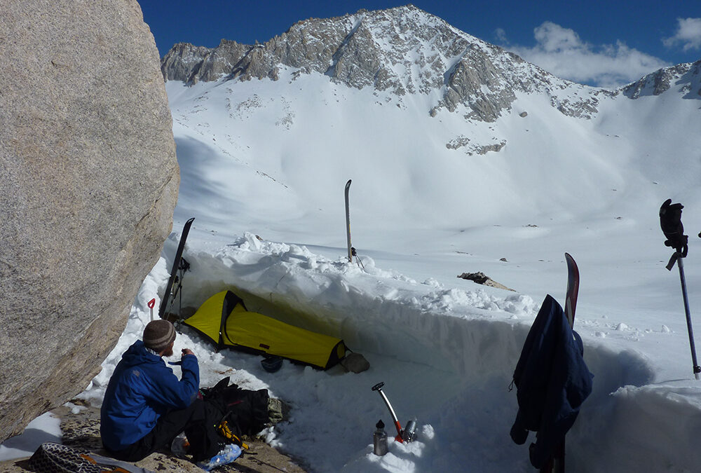
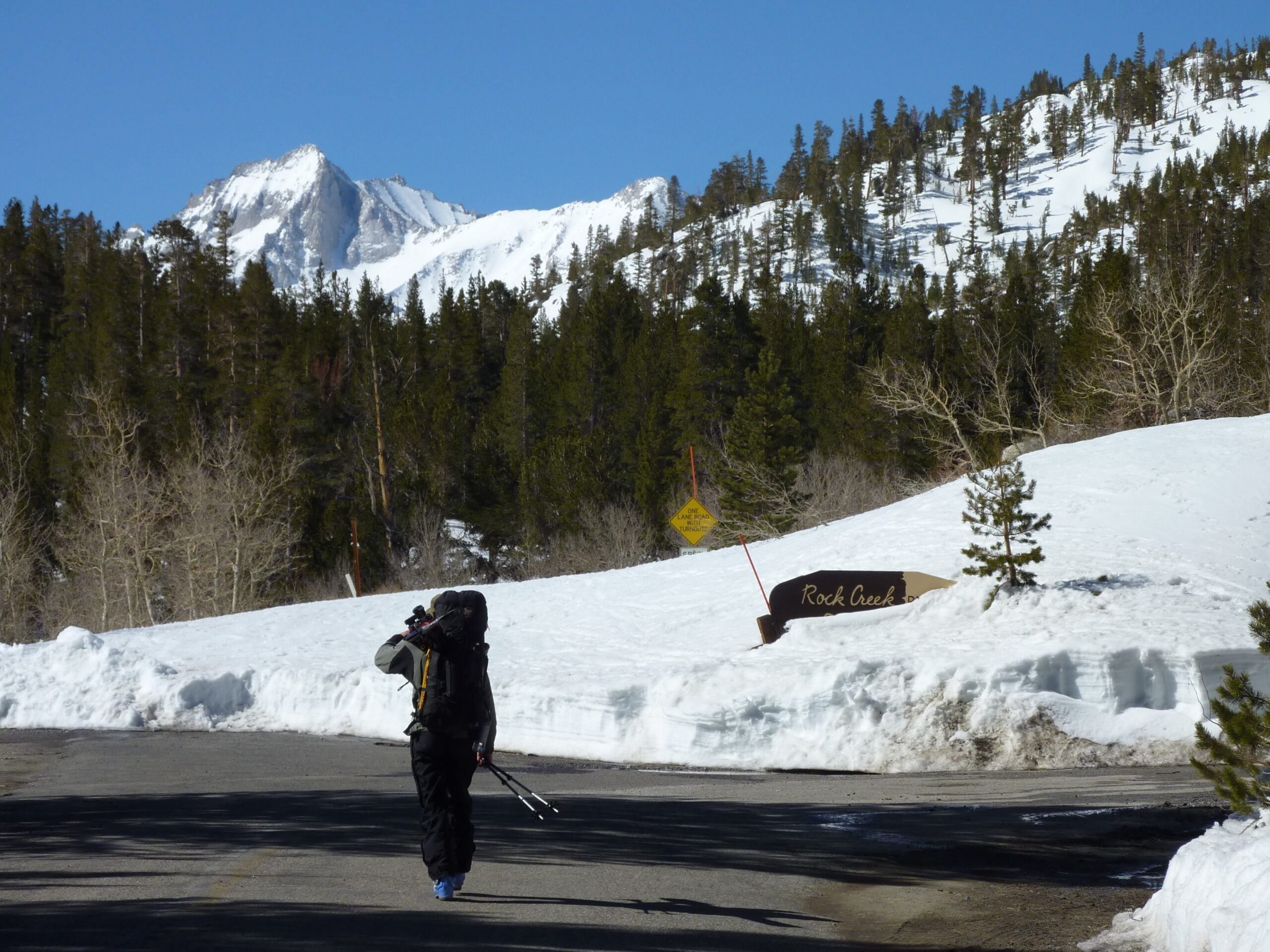
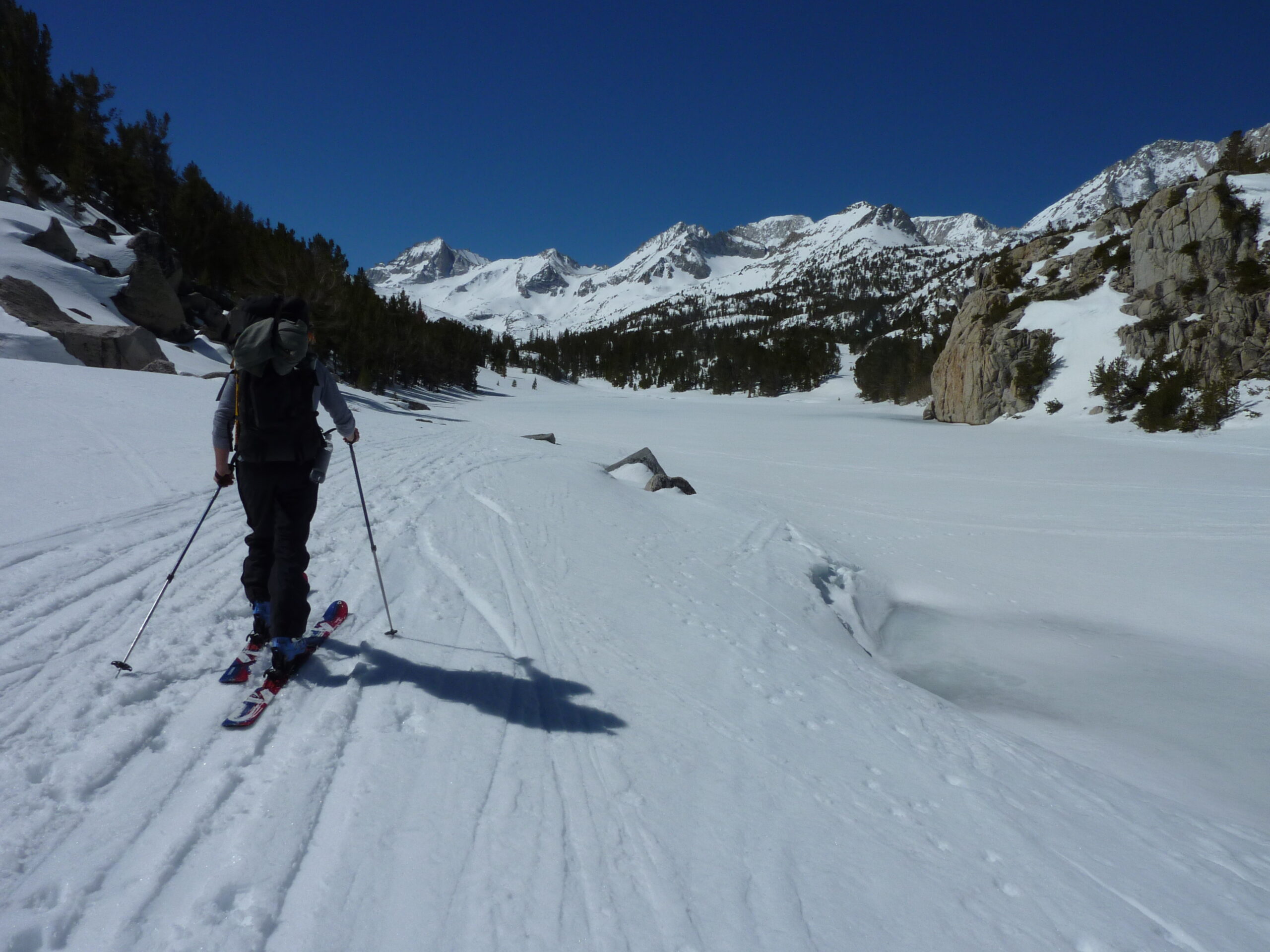
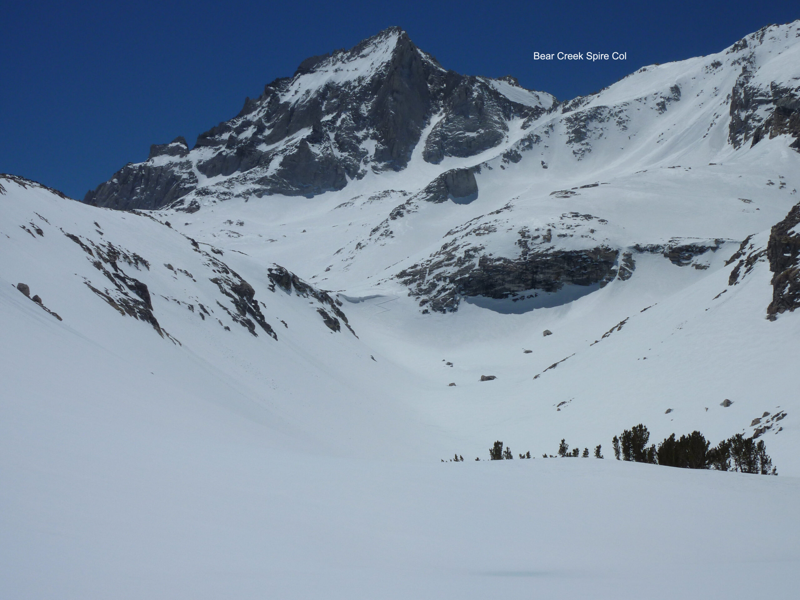
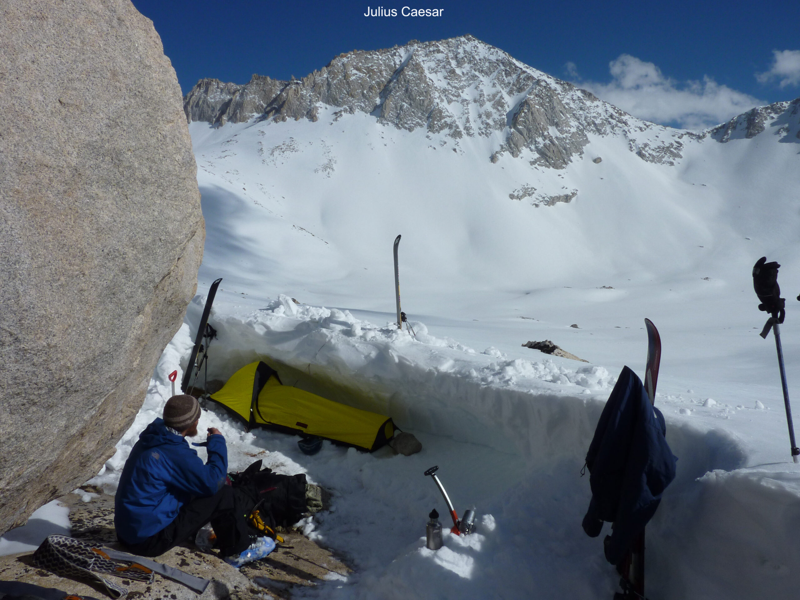
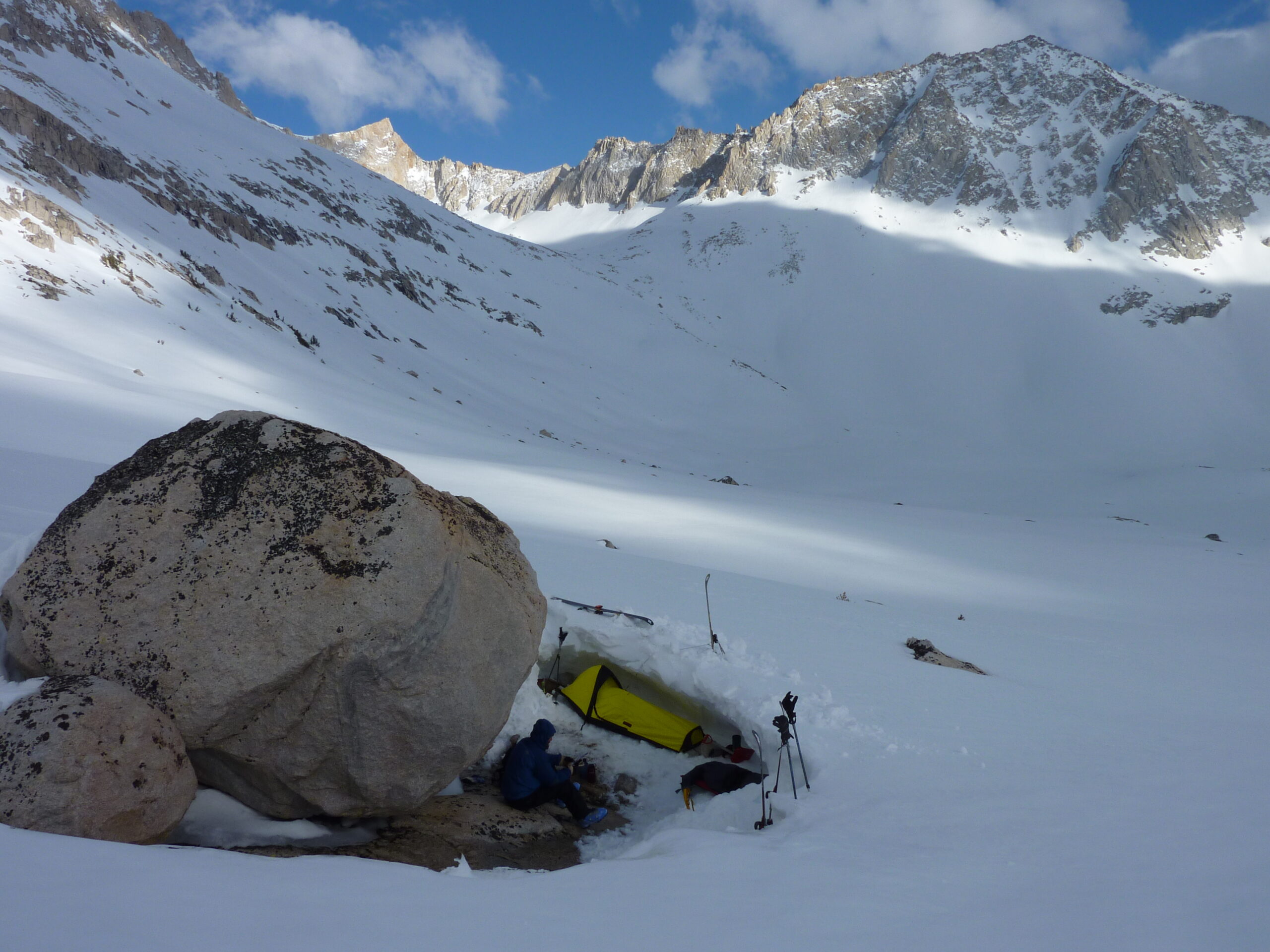
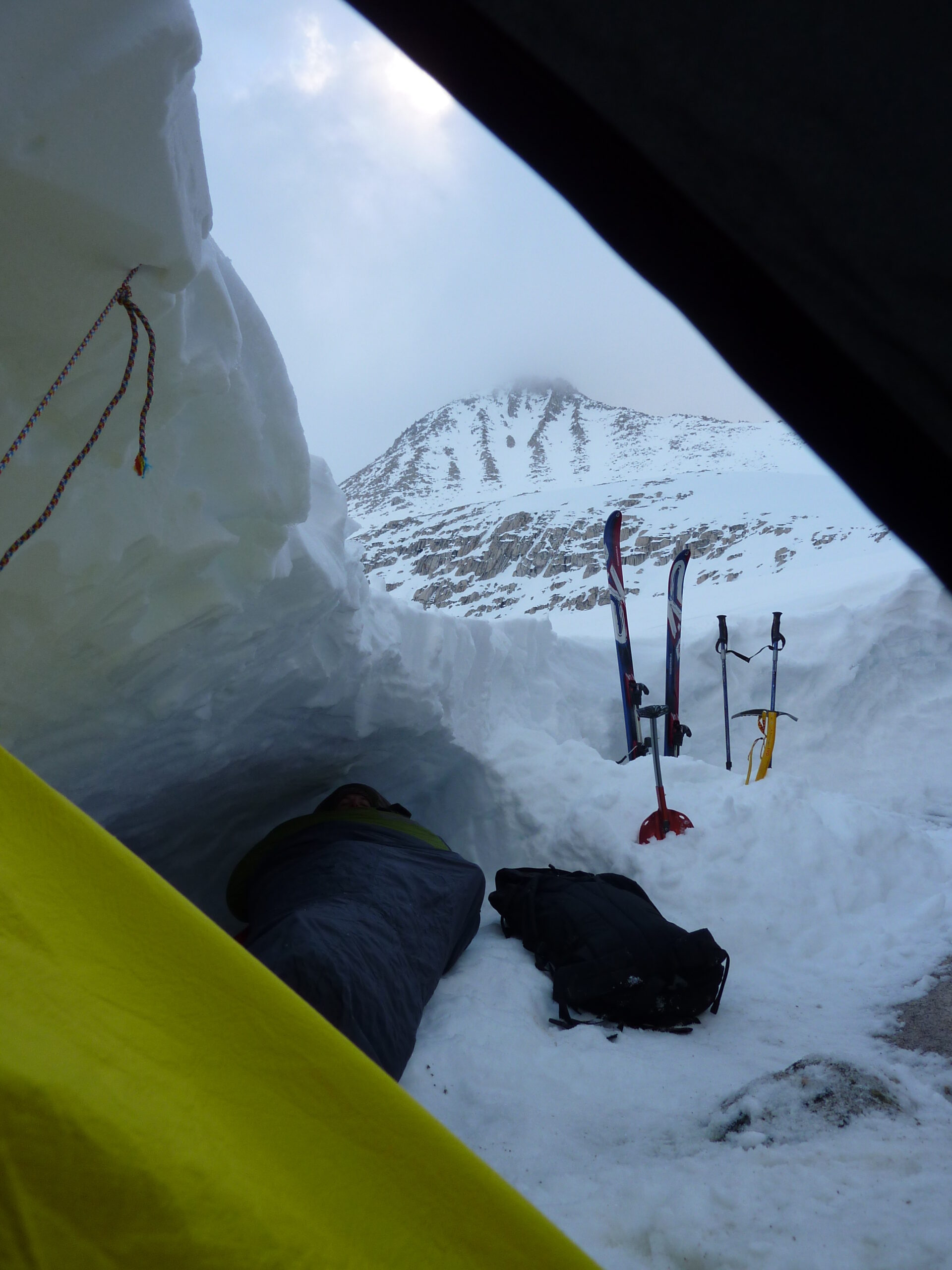
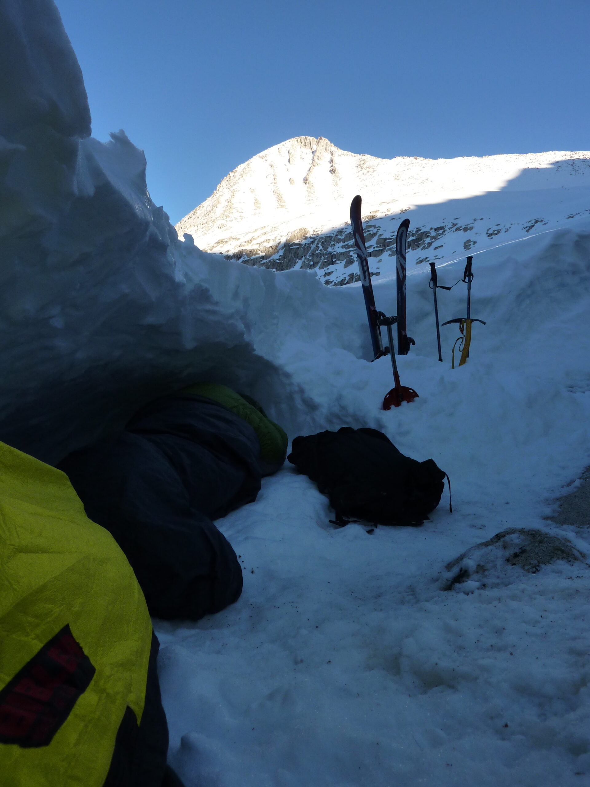
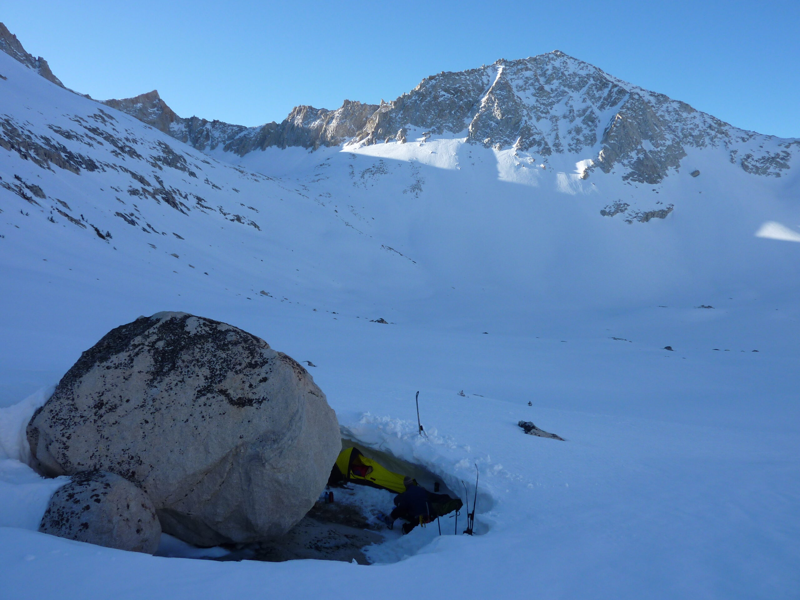
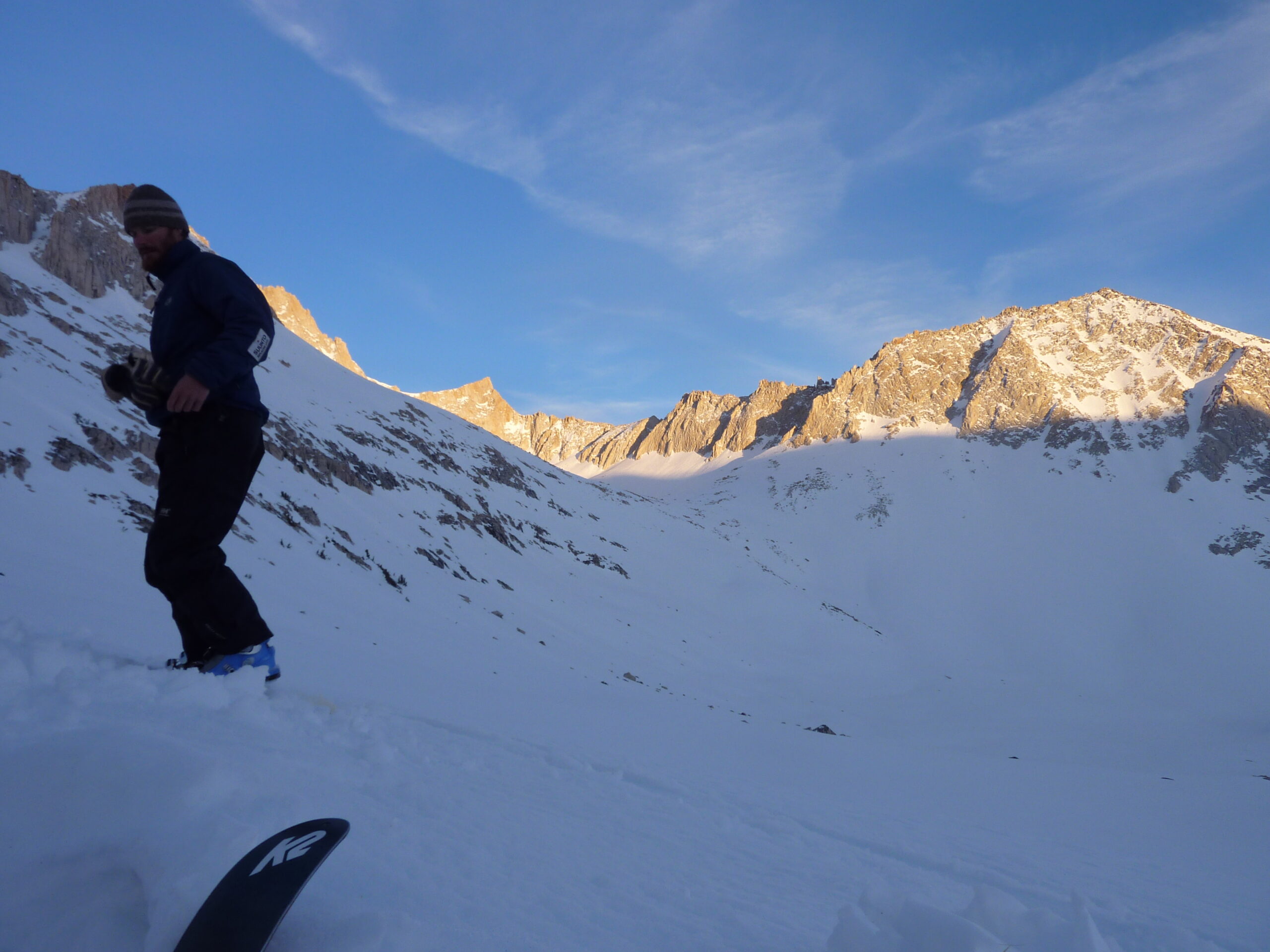
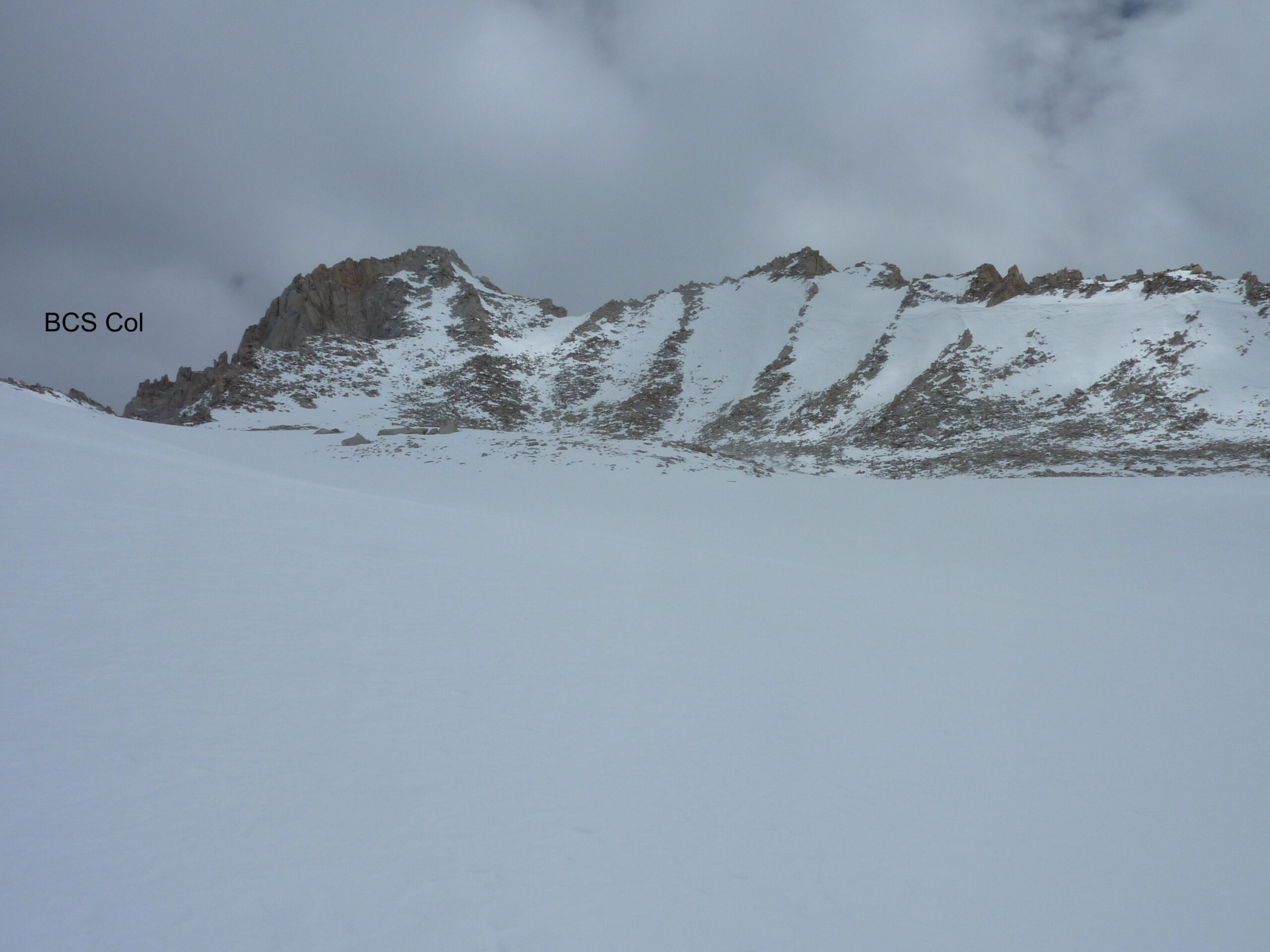
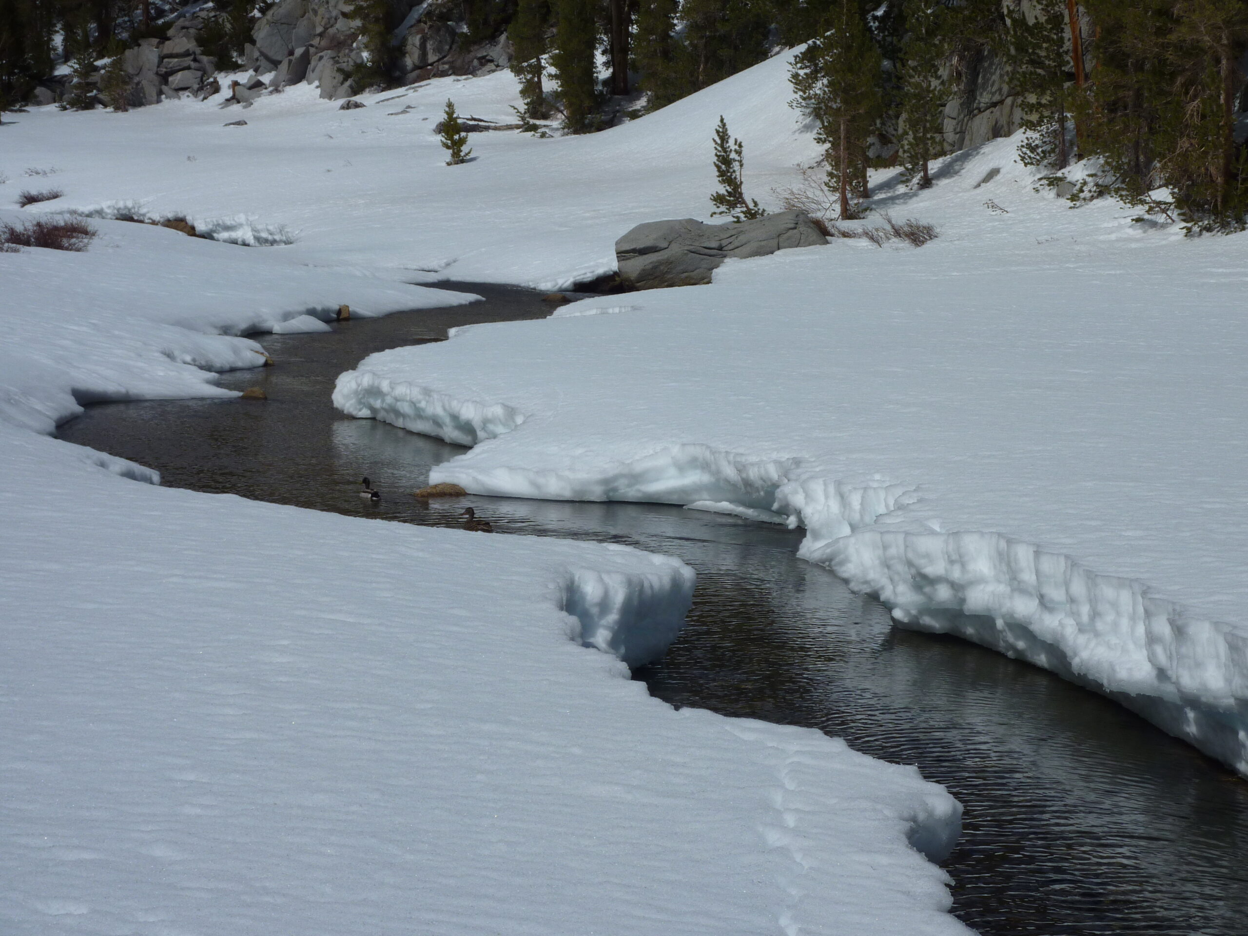
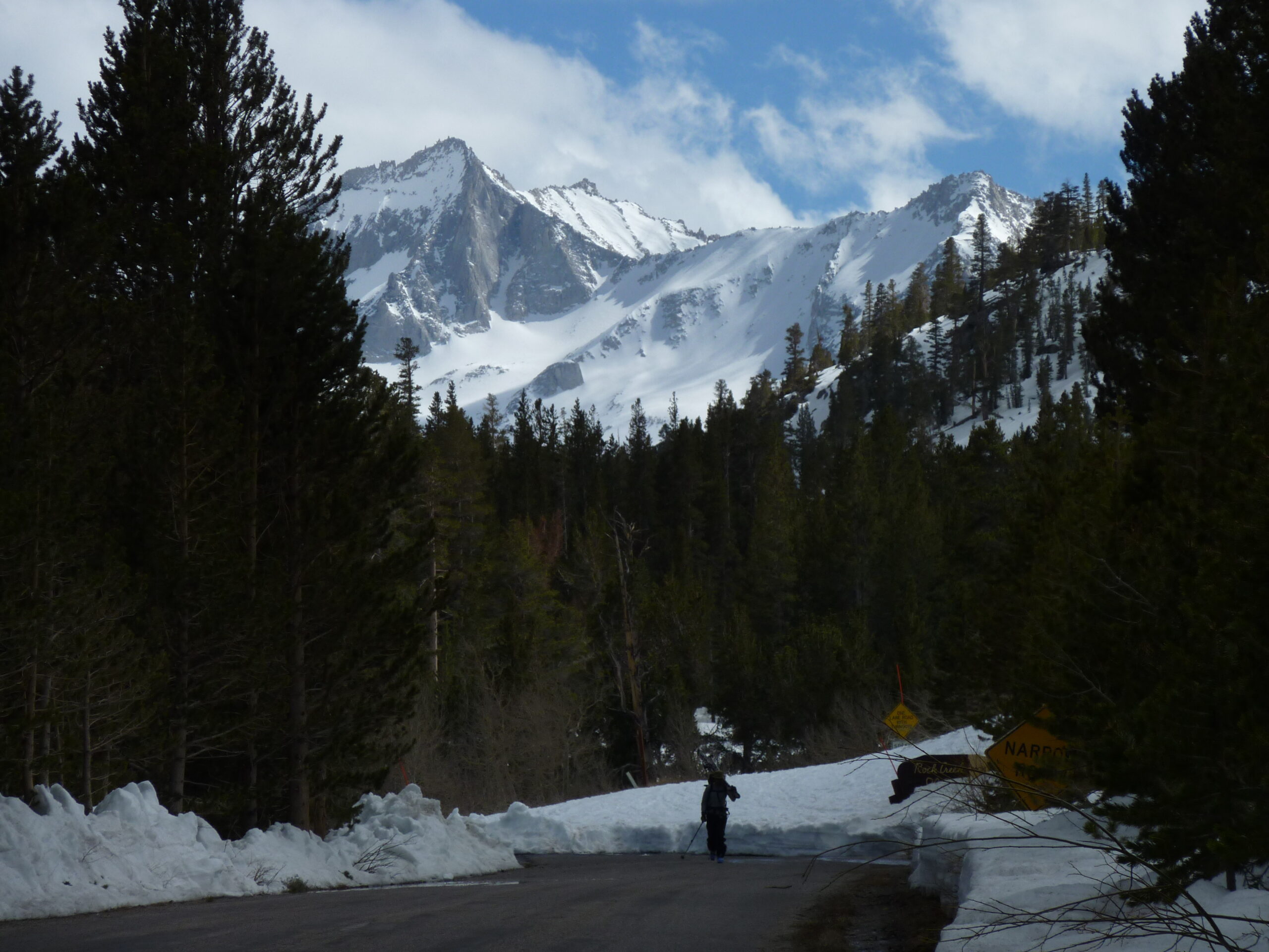
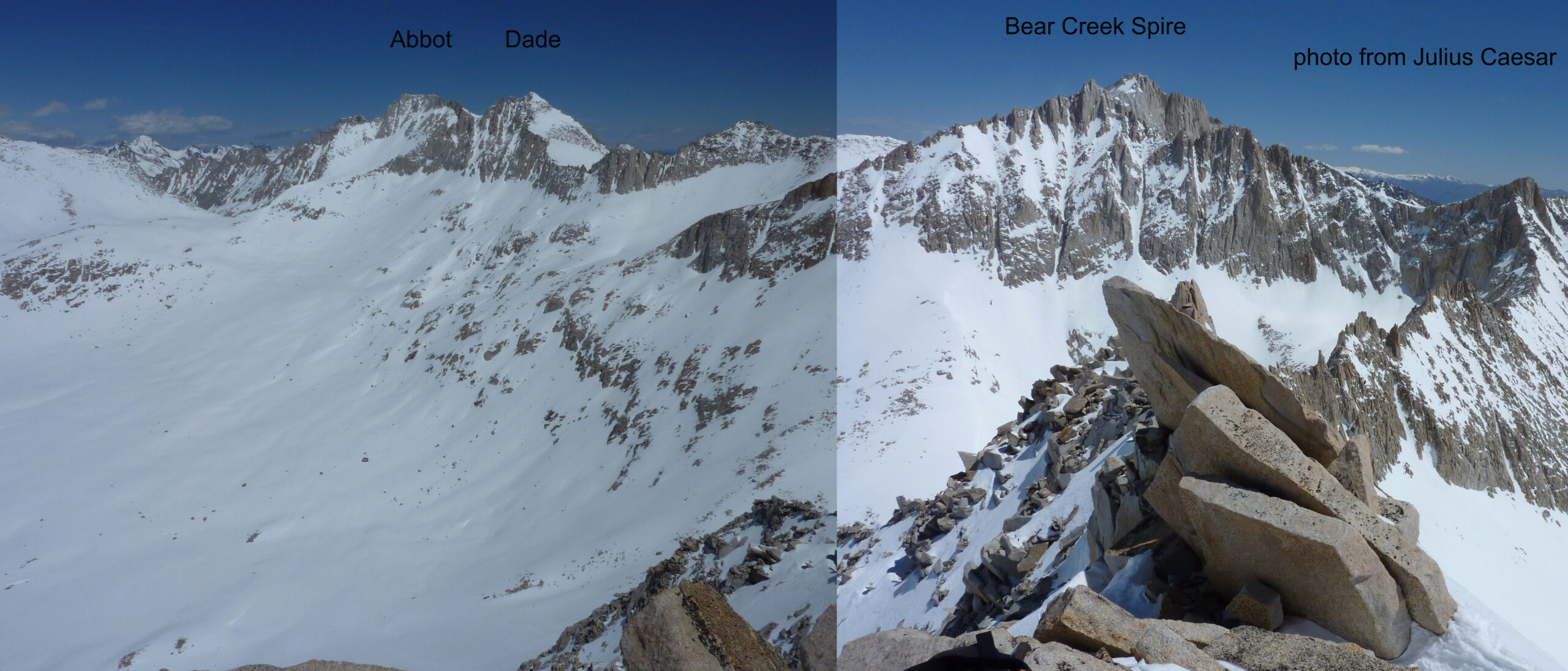
Rock Creek Trailhead wasn’t plowed yet, and we skinned a few extra miles just to get to the start. Then we skinned 8 miles over Bear Creek Spire Col at 13,000’. It was a beautiful day, and we were not afraid to sweat back then. We had older gear and hauled our asses up to the col to get blasted by wind with some small weather disturbance forming. We quickly got out of there and skied some really nice west facing corn snow down to the only spot we could find to bivy on flat ground and out of the wind. We dug in to a wind sculpted hole next to a huge boulder. I had my bomber BD Bipod bivy, which is a small fortress. Greg had a basic bivy that didn’t cover his head. He got pelted by some blowing flurries that night.
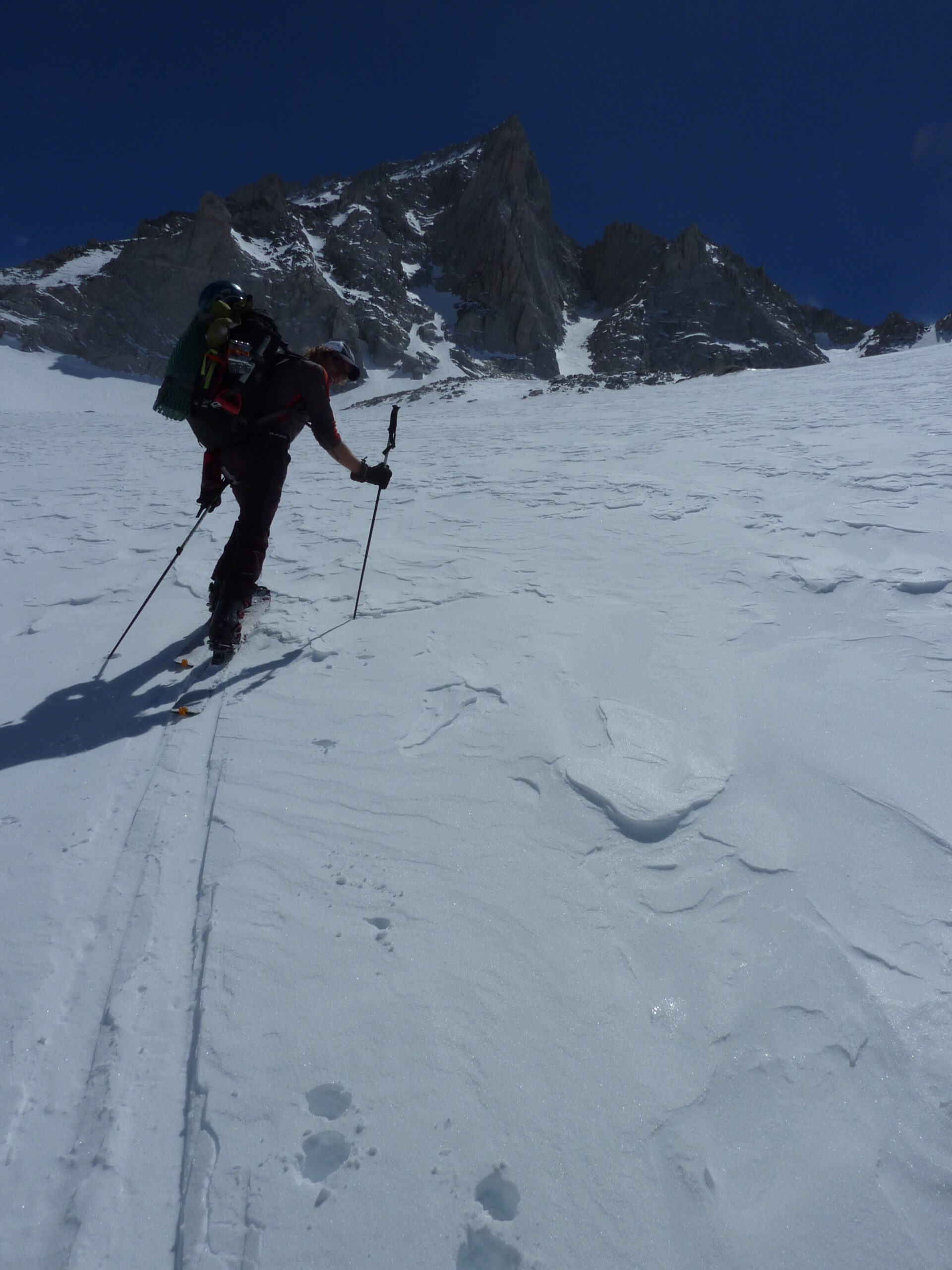
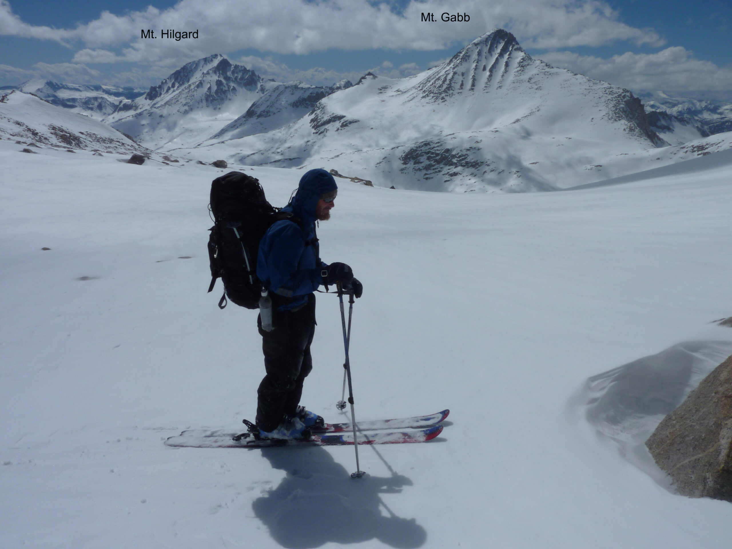
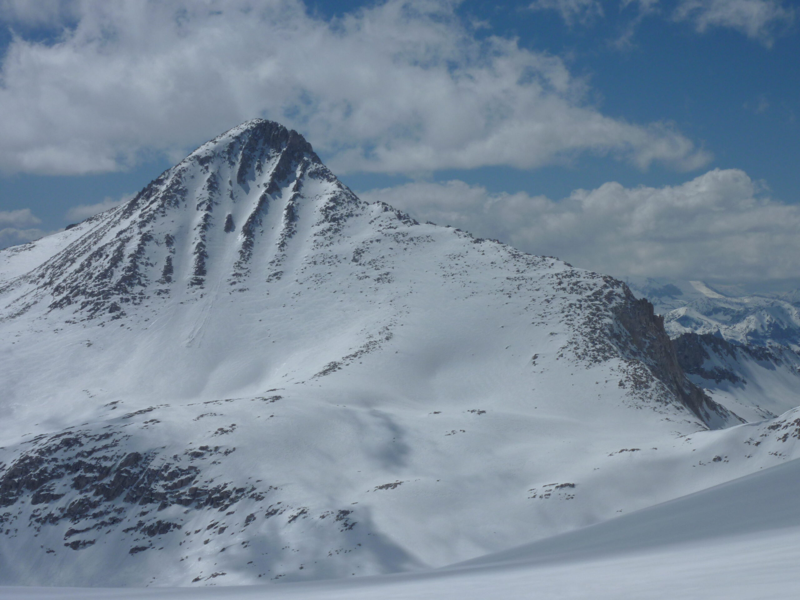
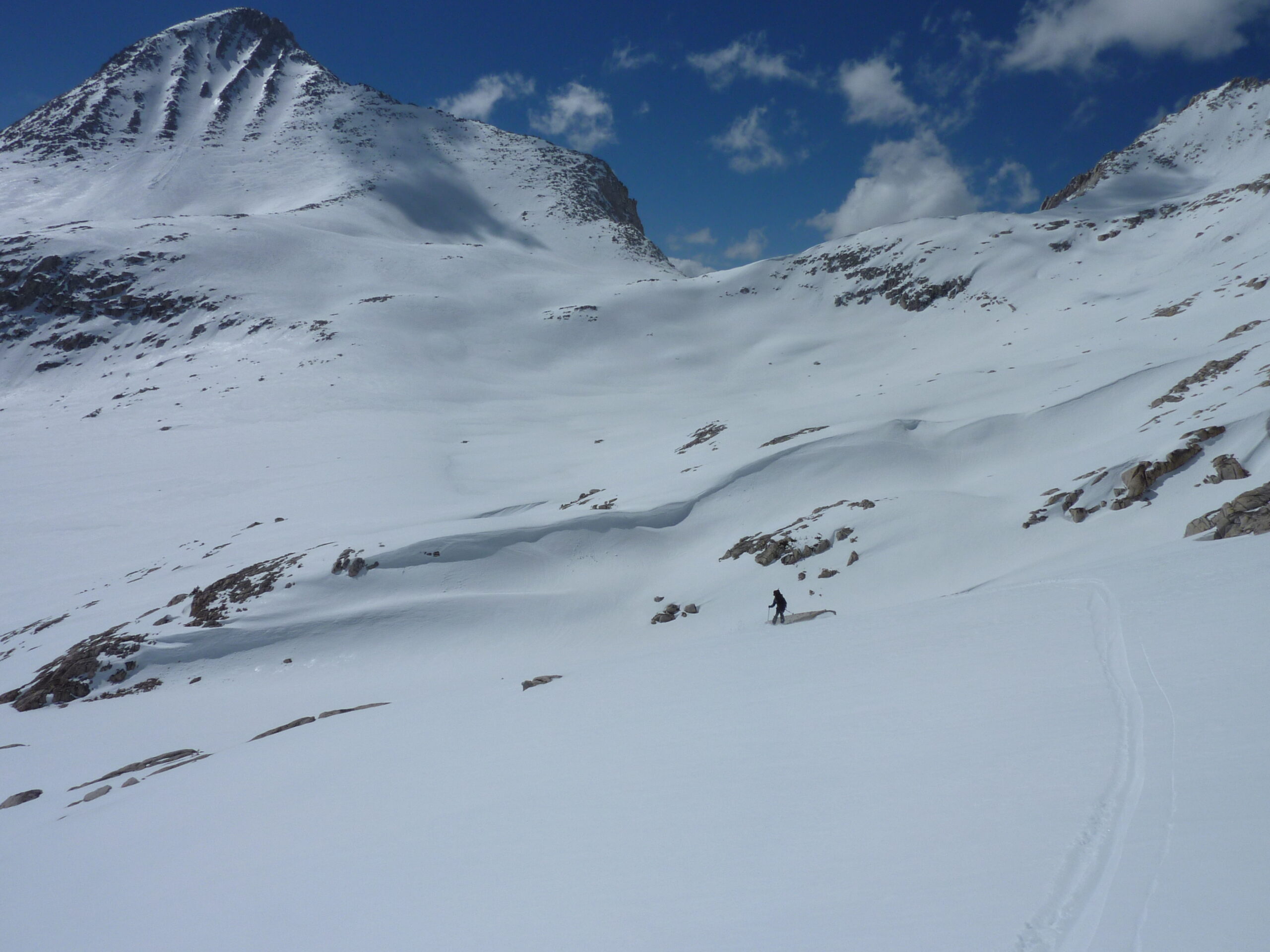
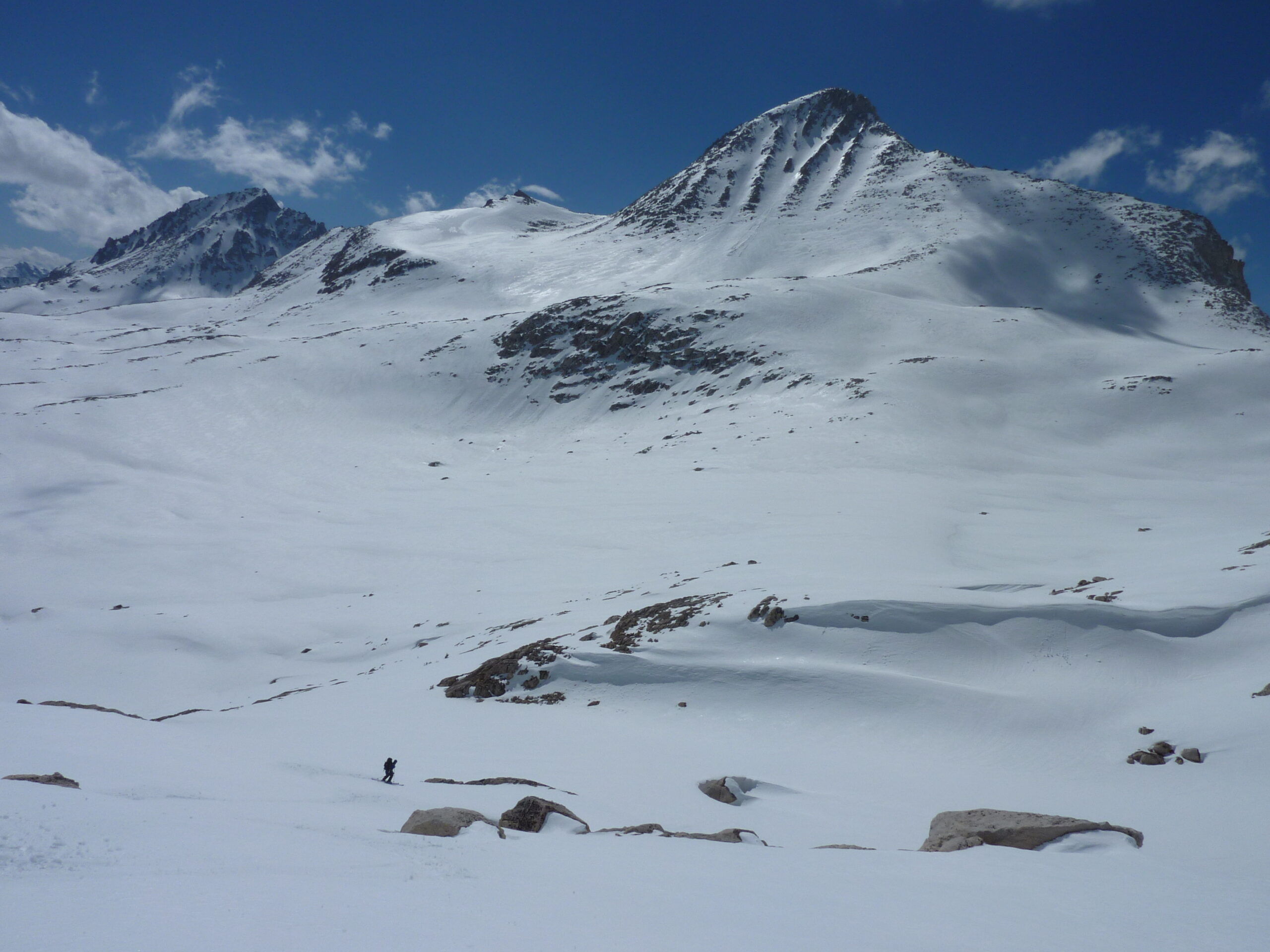
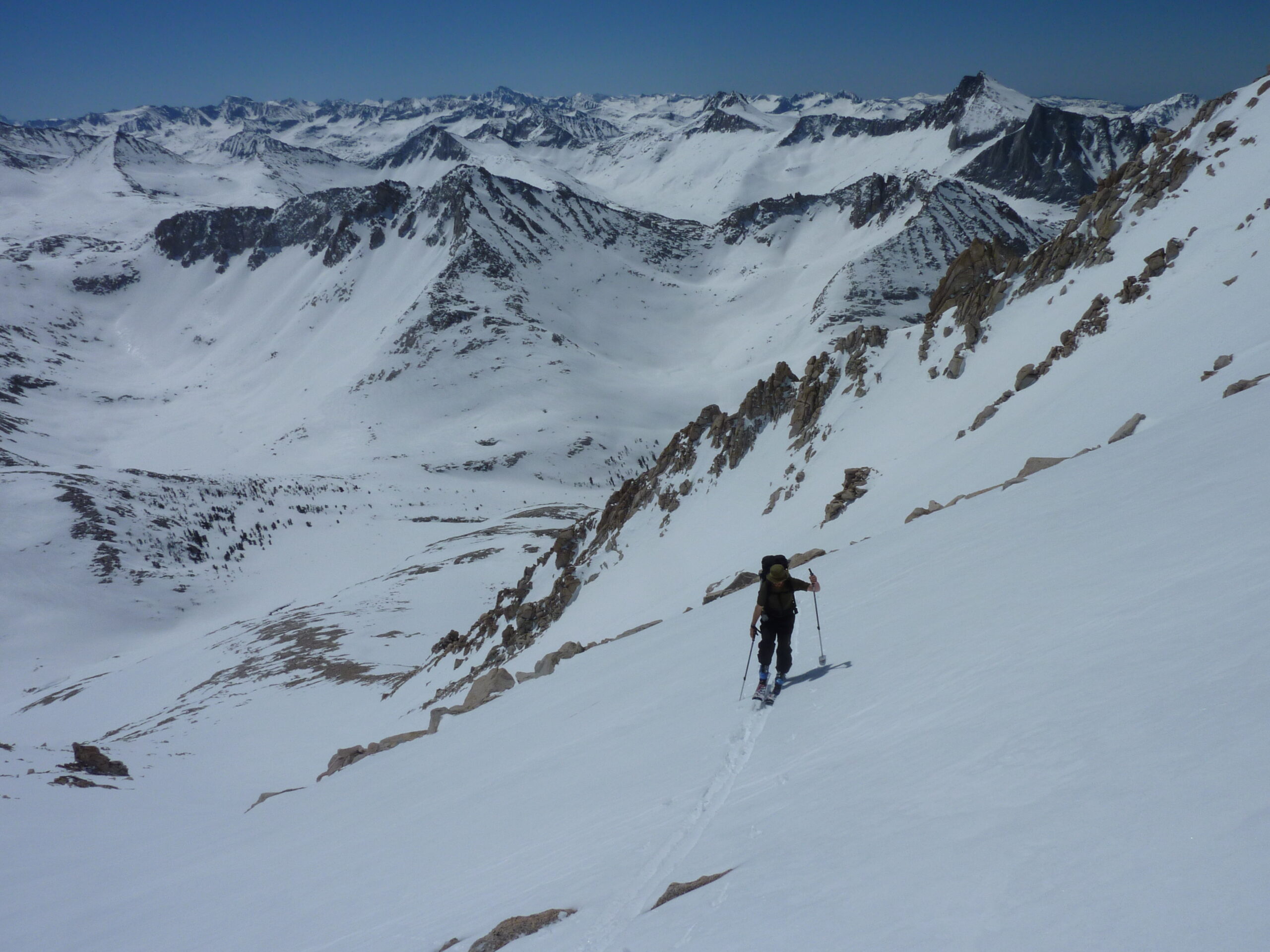
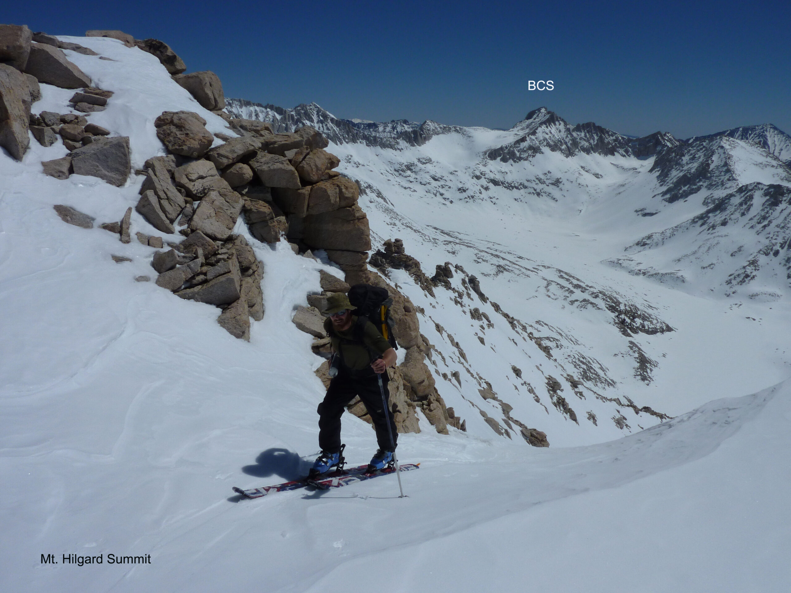
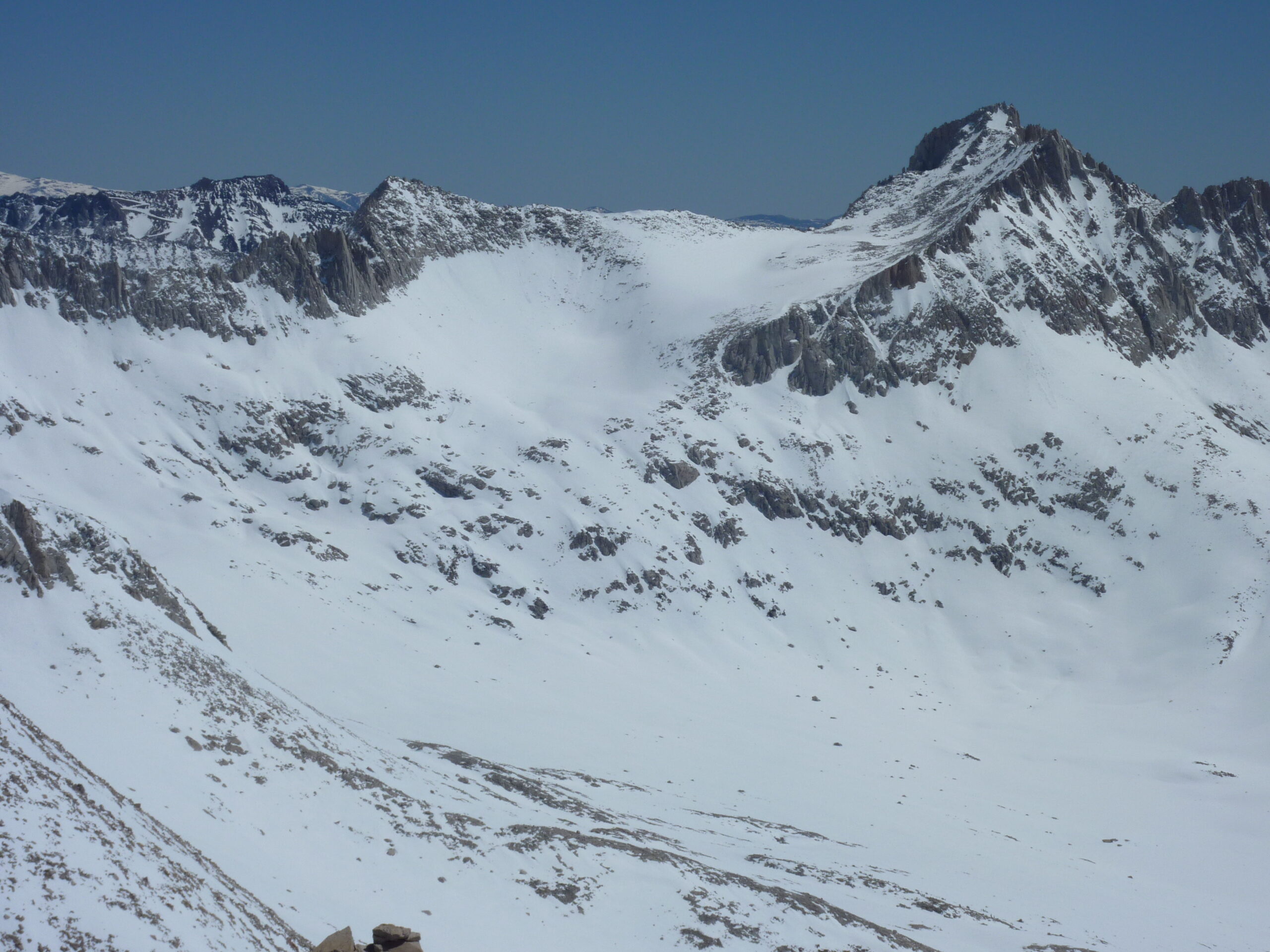
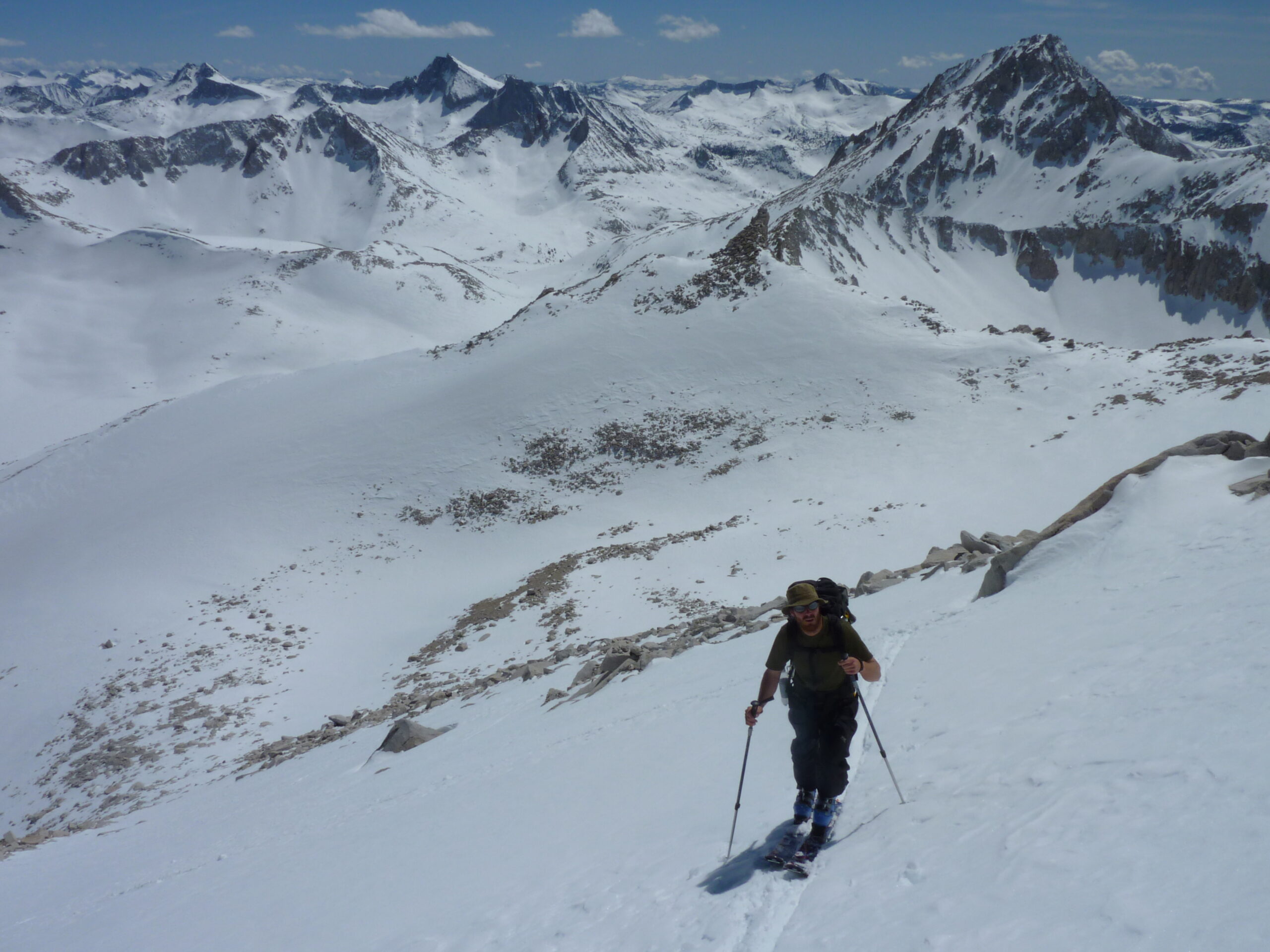
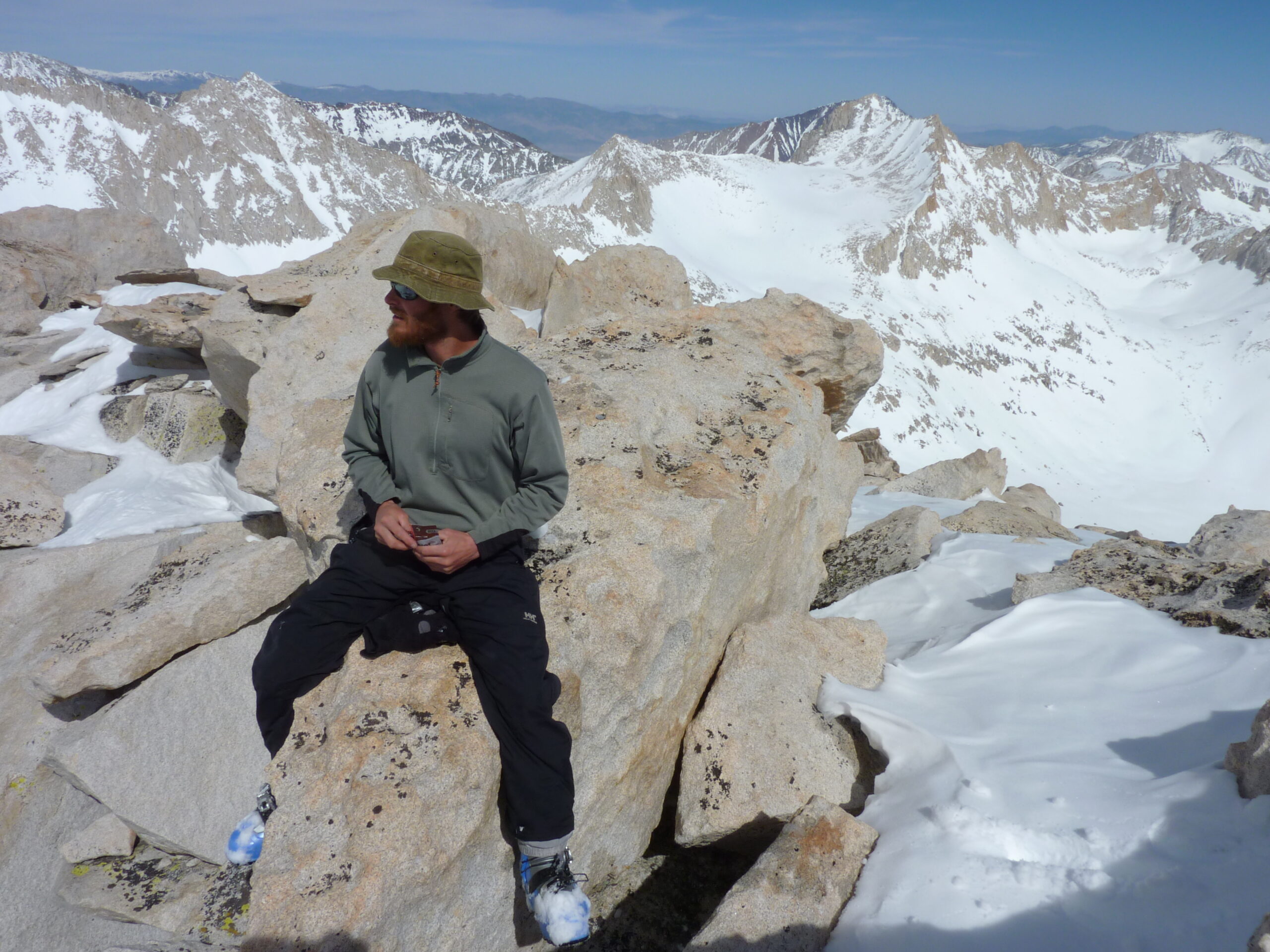
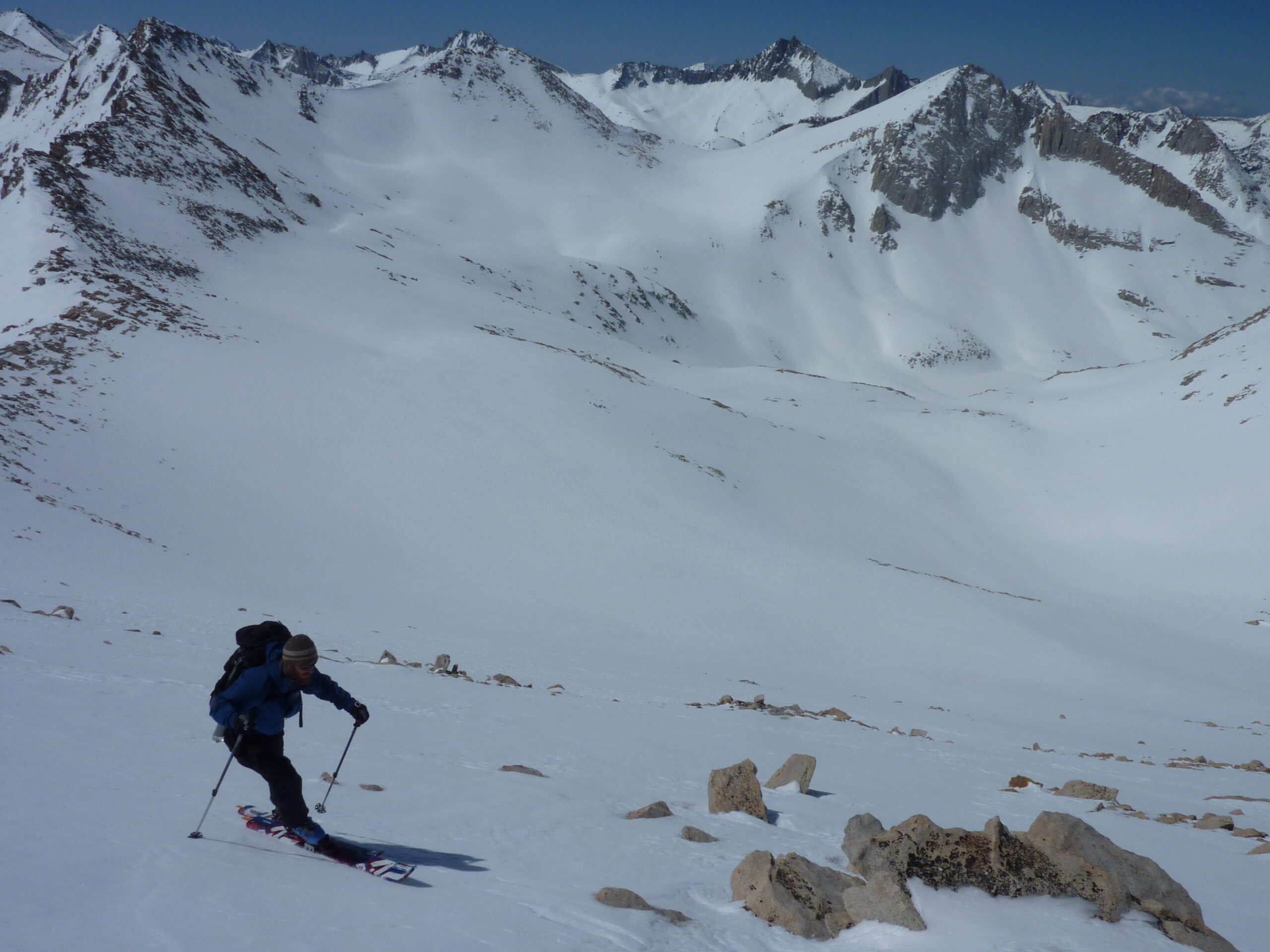
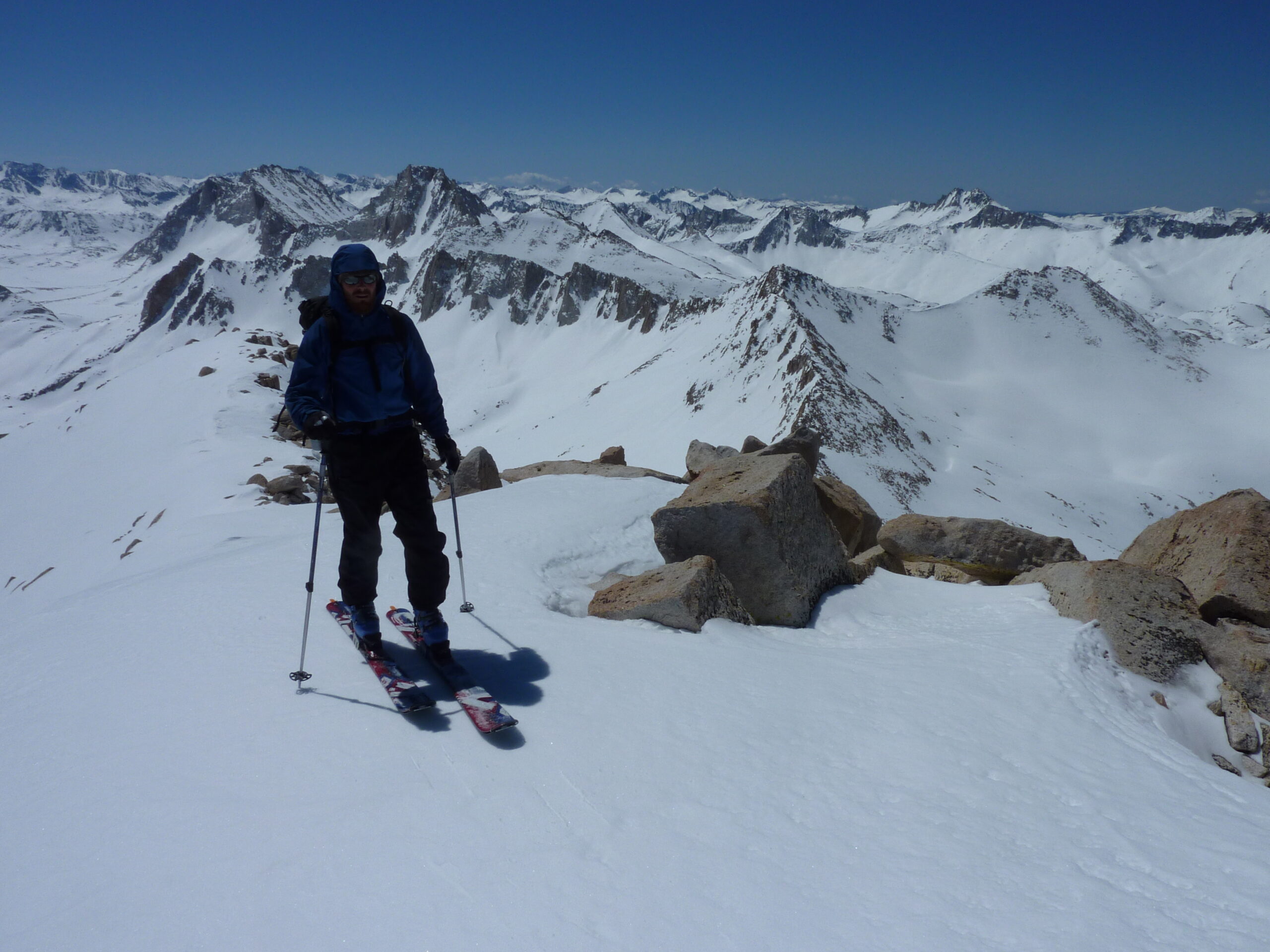
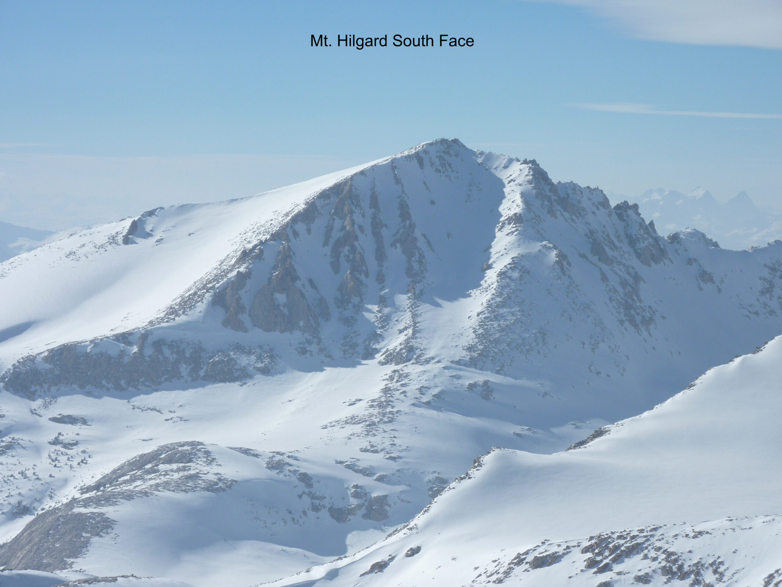
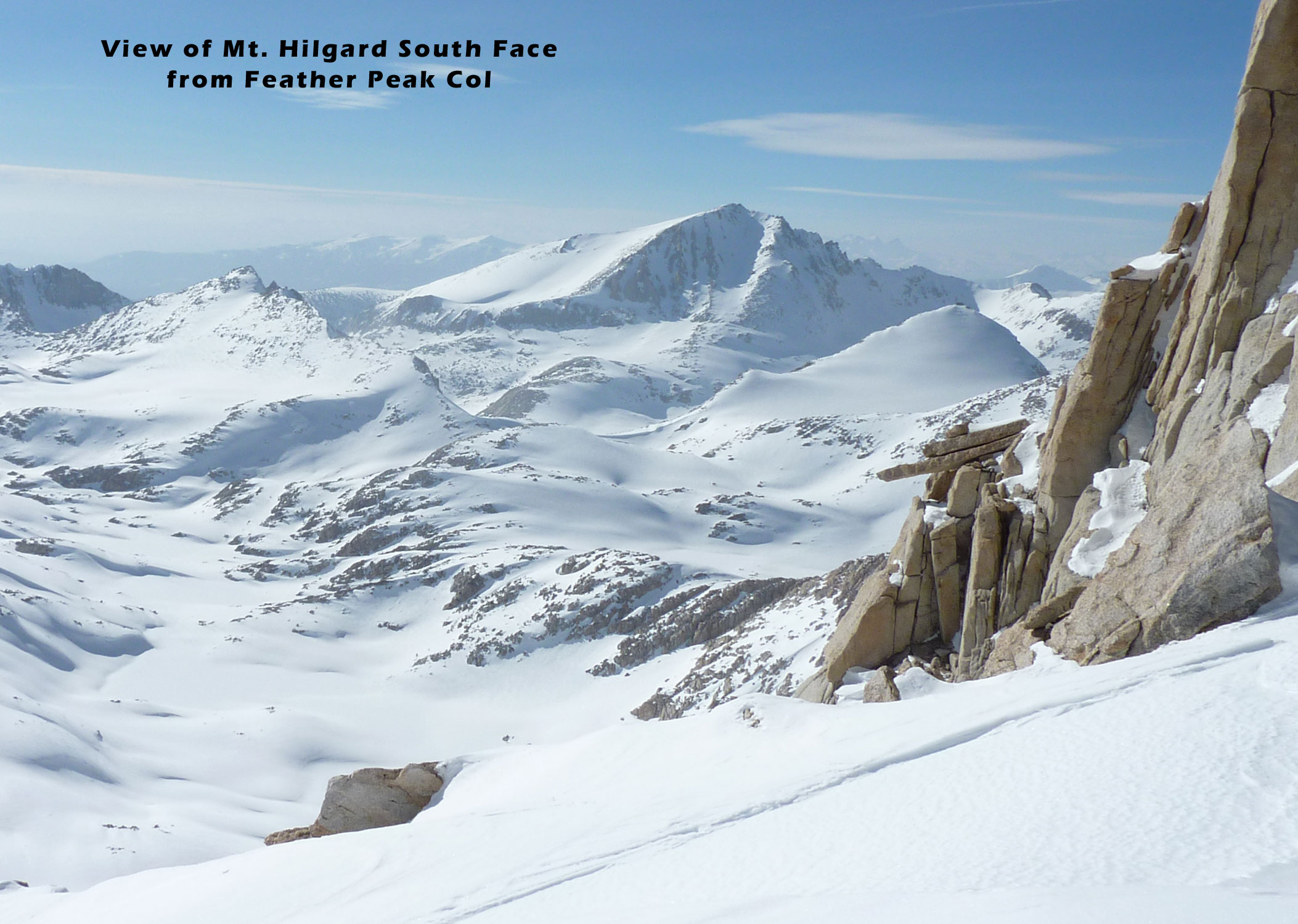
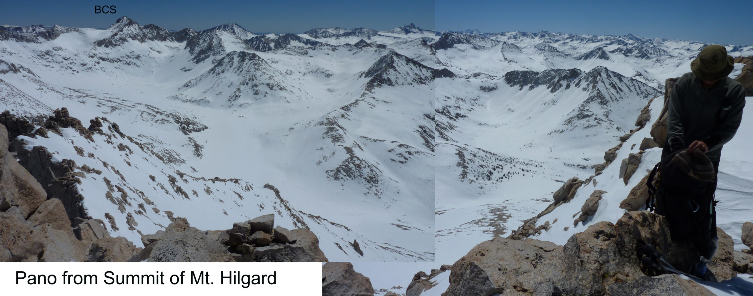
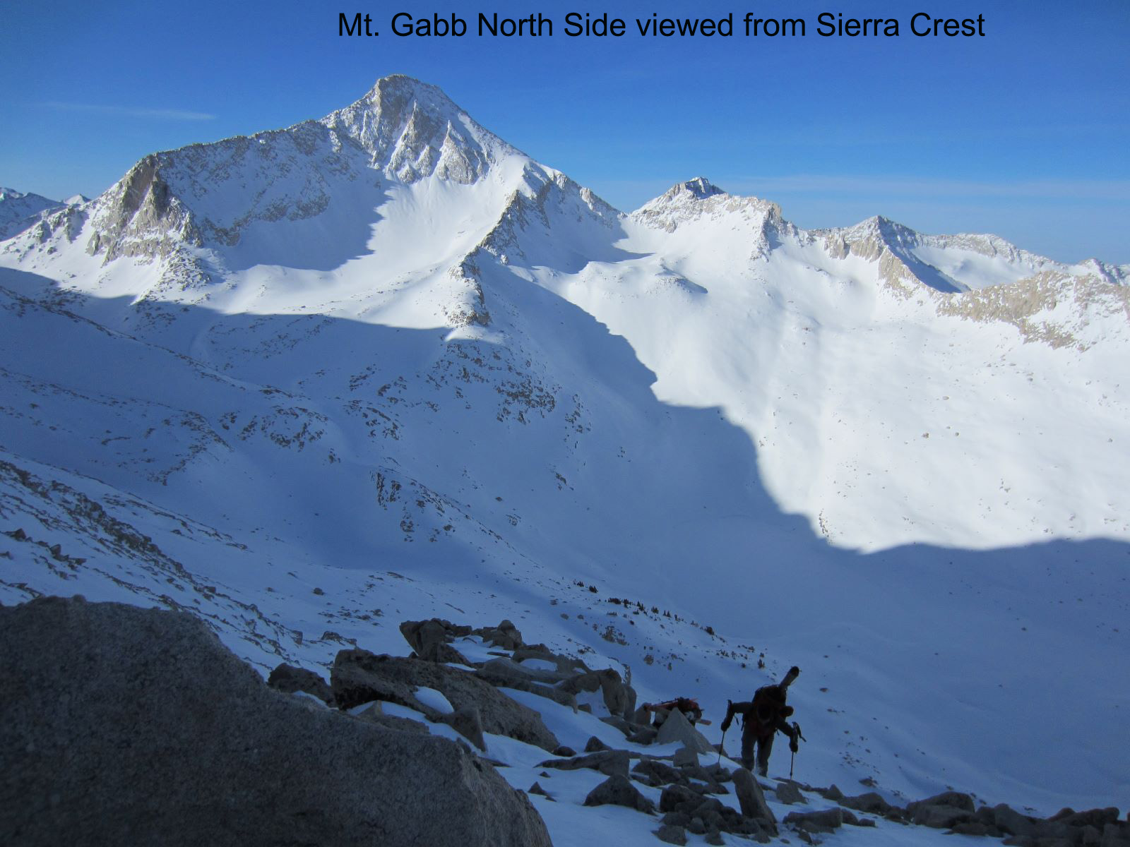
In the morning it was bluebird and cold. We pried ourselves out of the hole to form a plan. We could see the south side of Gabb from Bear Creek Spire Col, and we put ourselves in fairly close proximity to go up there. The North Couloir we were aiming to drop into from the summit wouldn’t require an early start. So, we set direction for the next big peak in site, Mt. Hilgard further to the west. This peak had a long South or SE slope dropping right from the summit. I would recommend this peak as a stand-alone mission! The climb was just normal ski crampons and some switchbacks, and the summit provided a crazy view of all the big peaks and terrain in every direction. We leap frogged down and started traversing towards Mt. Gabb.
The distance and effort we travelled might have been a bit longer than I’m making it sound. And we didn’t get any sleep the previous night, after a huge day to get there. Plus, we probably were pushing. So, we got a little delirious. On my track towards Gabb’s south face, I saw what looked like the tail of a mountain lion behind some rocks. We both agreed it was just that, and we got out our ice axes. We were not going to bail on climbing Mt. Gabb or circumnavigate this thing. Of course, it was just a funny lone tree swaying in the wind.
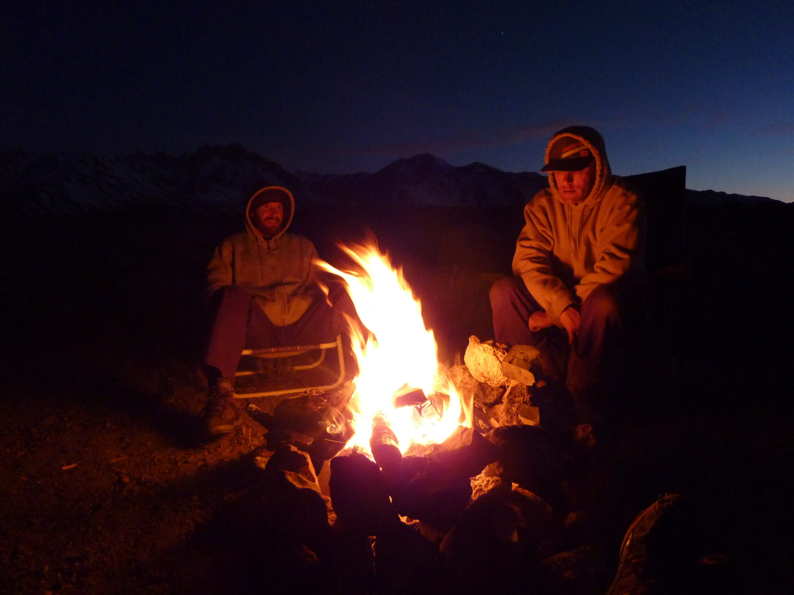
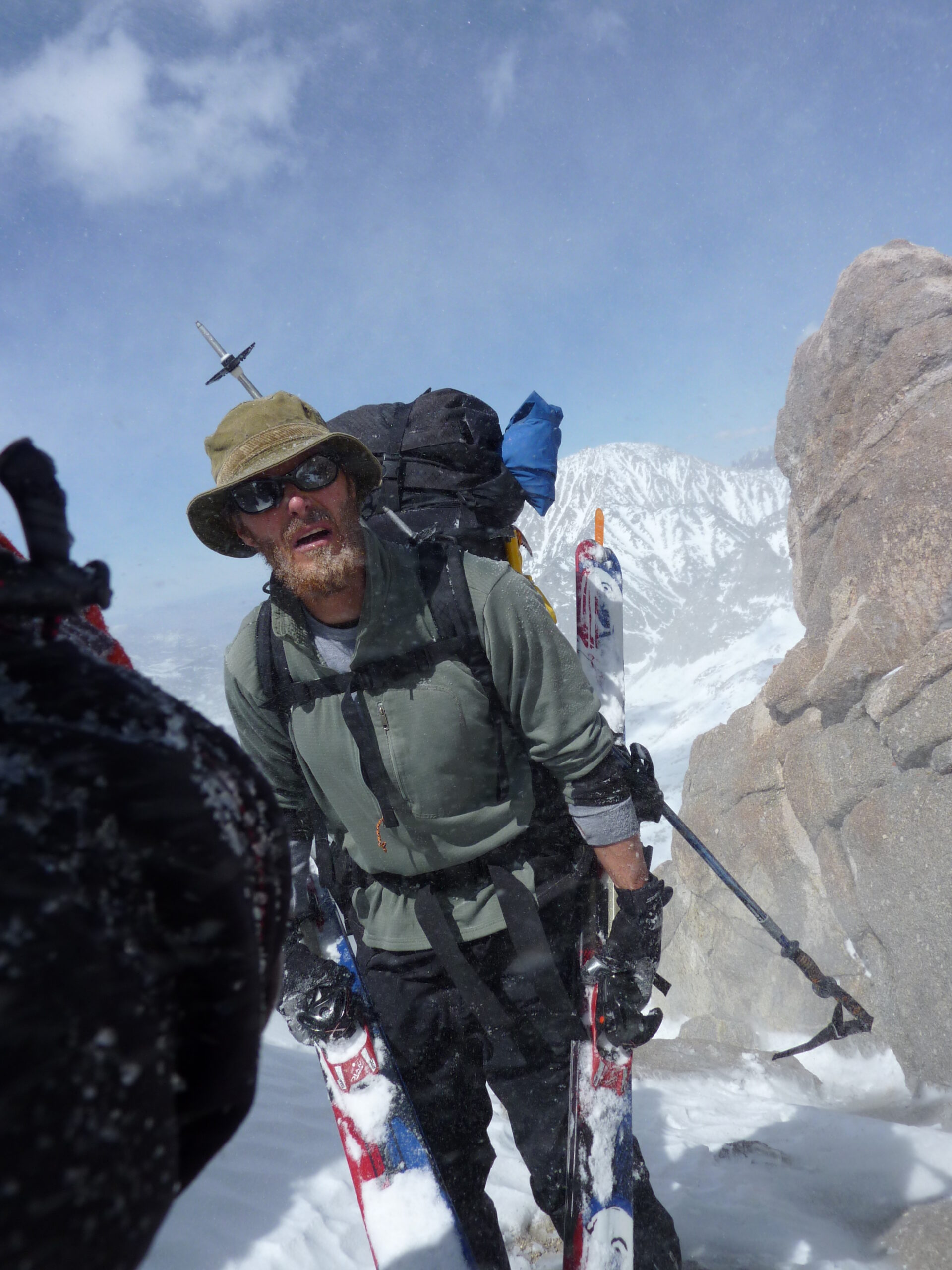
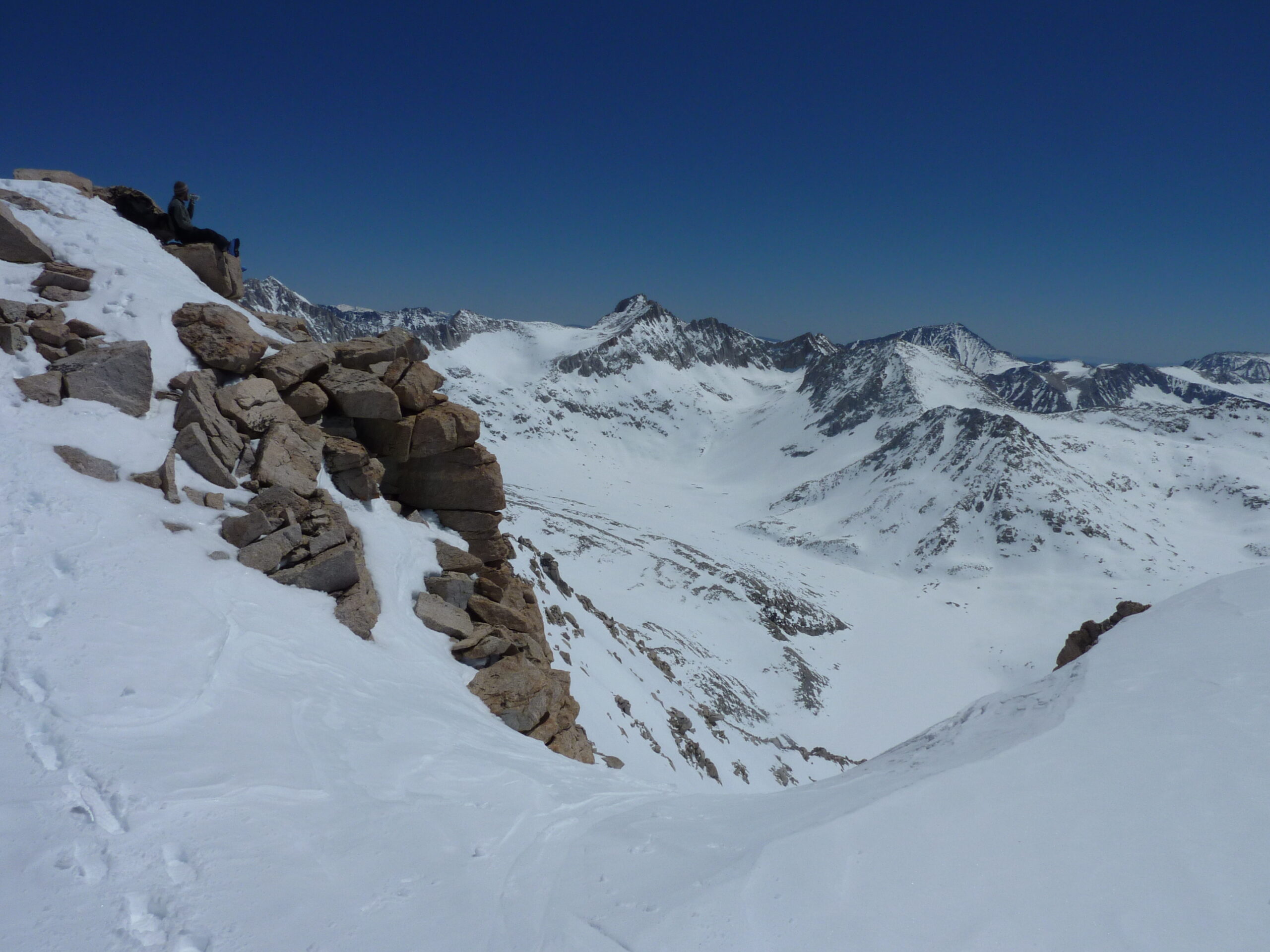
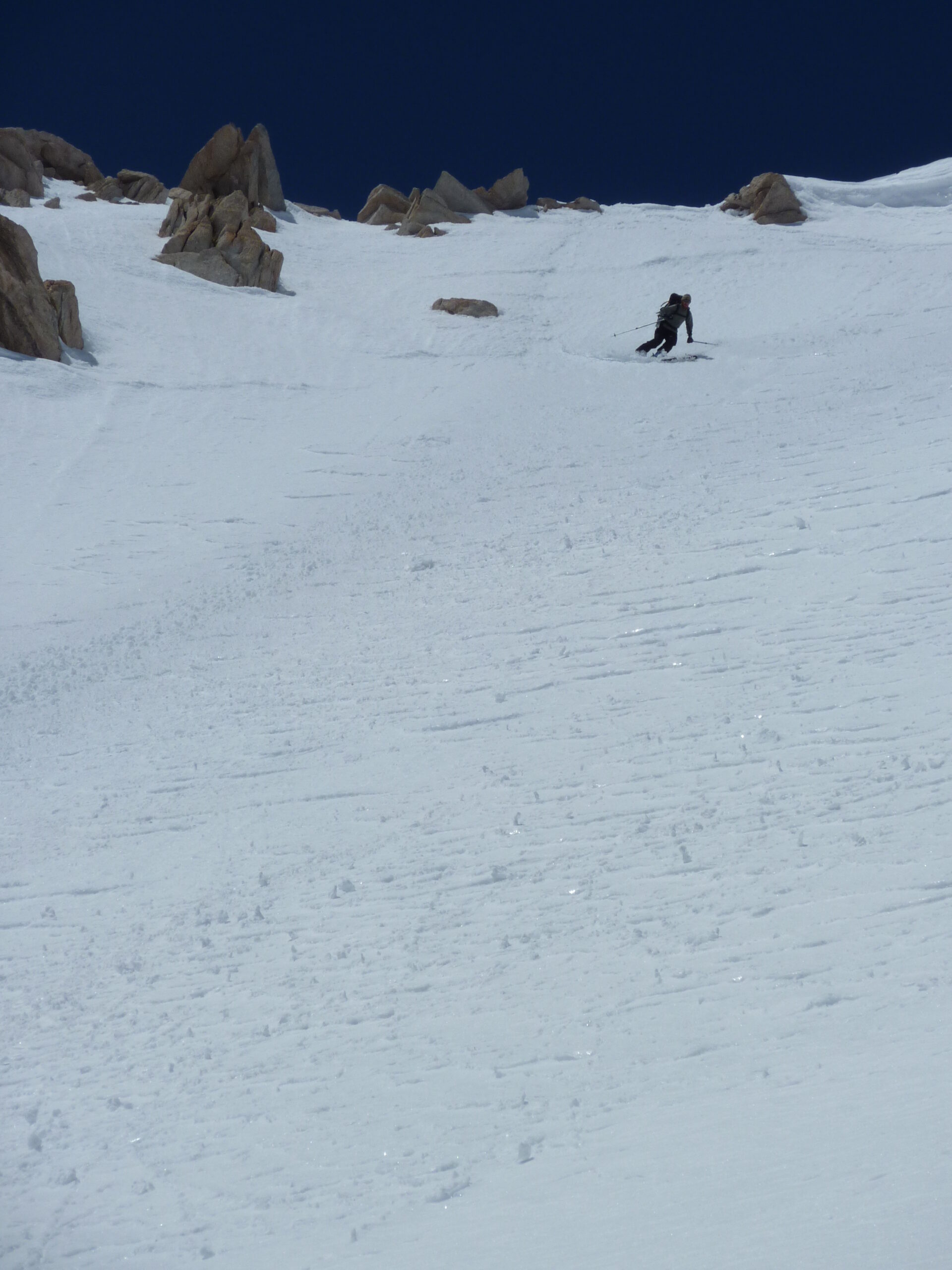
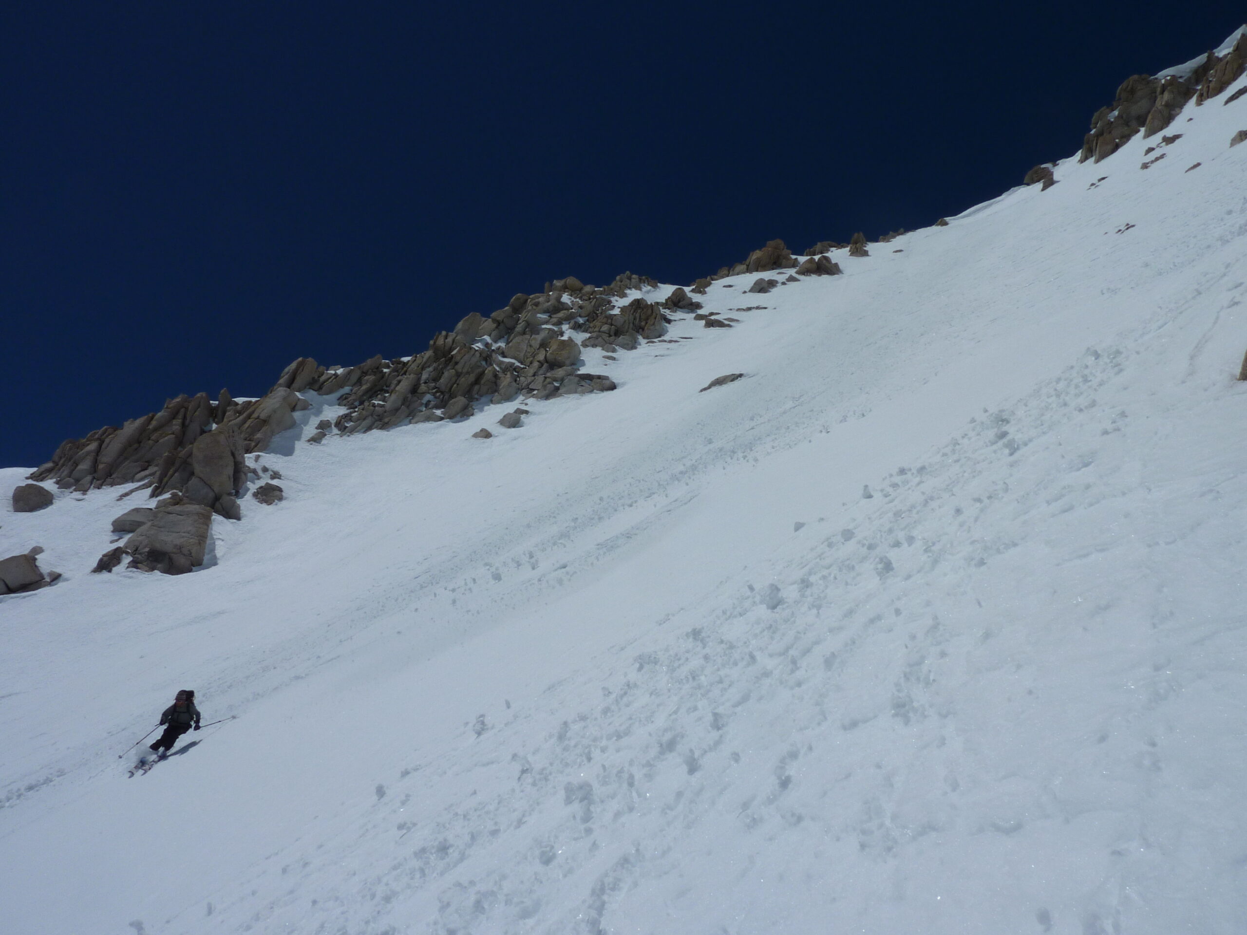
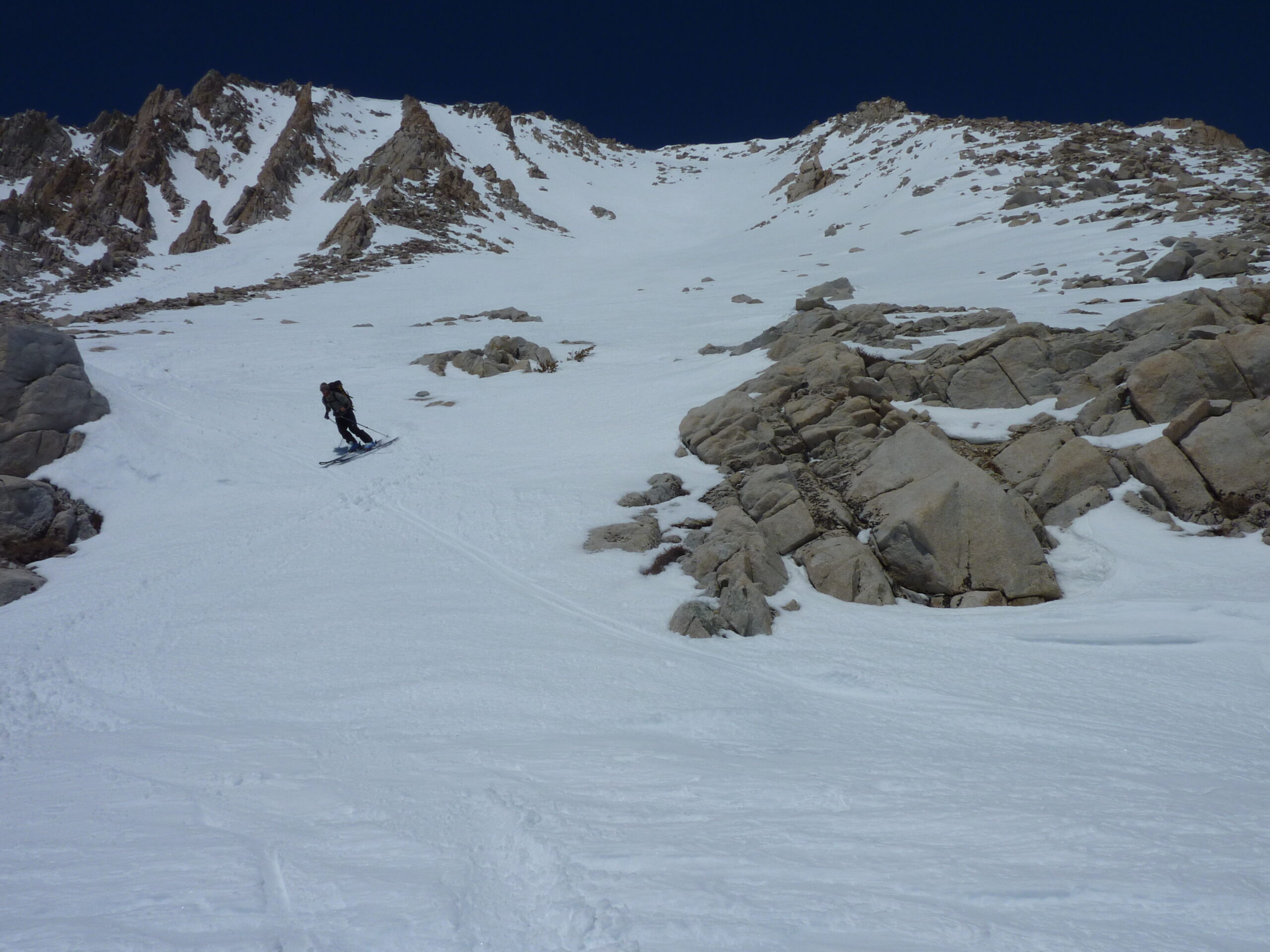
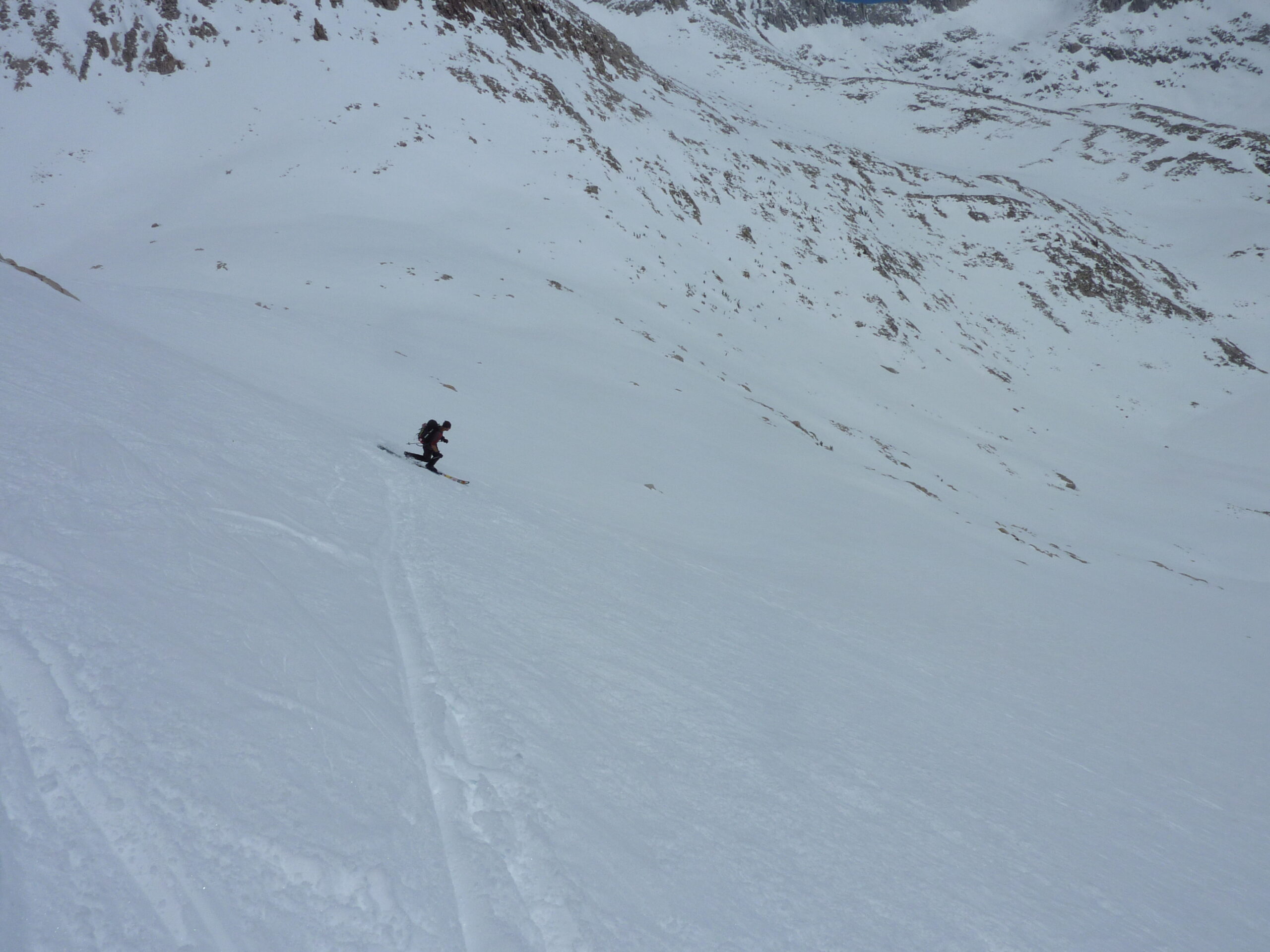
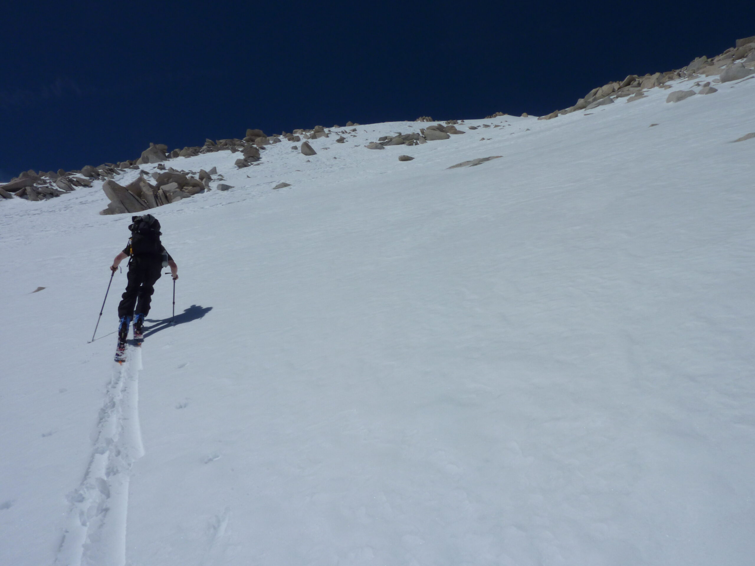
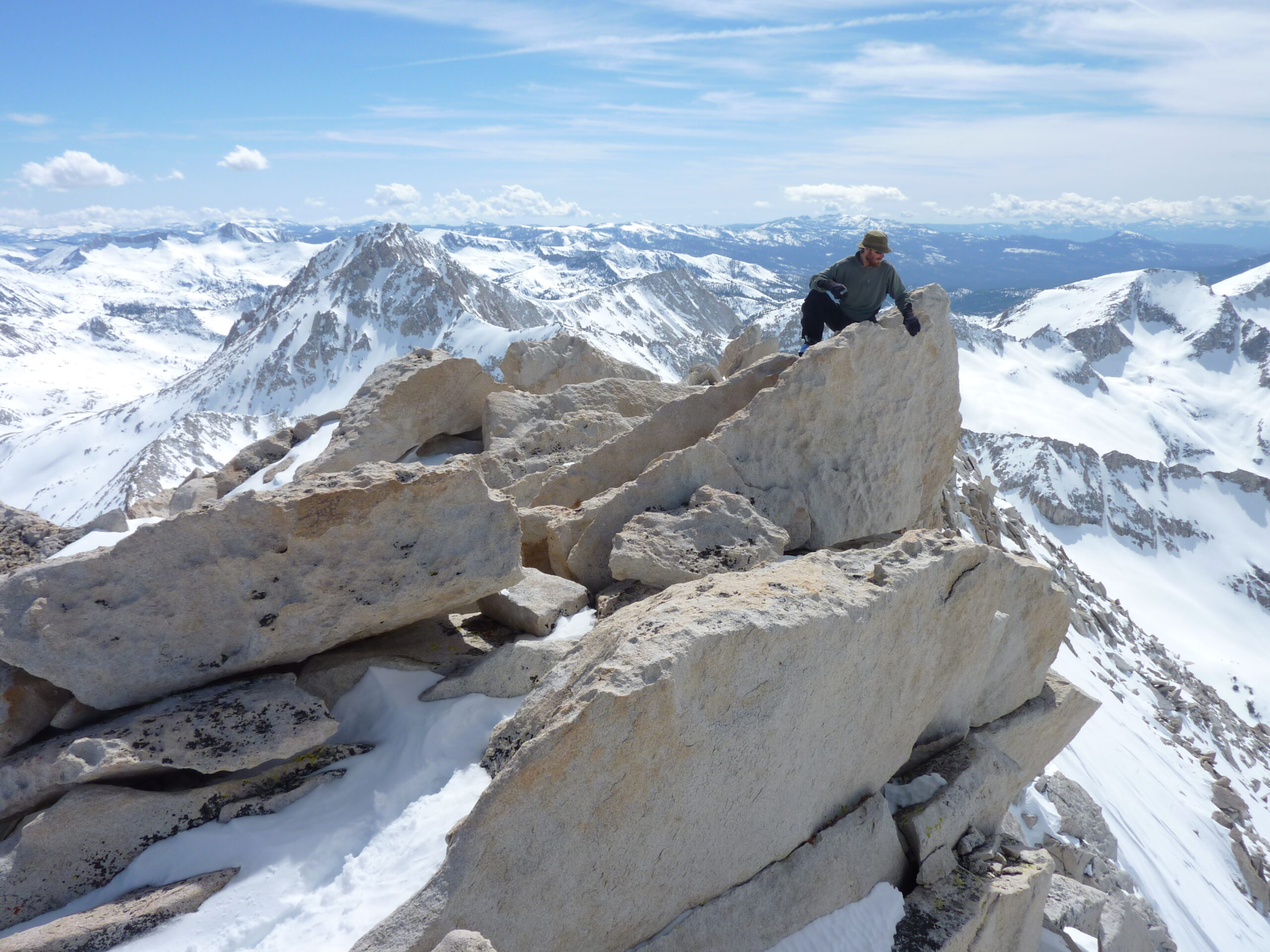
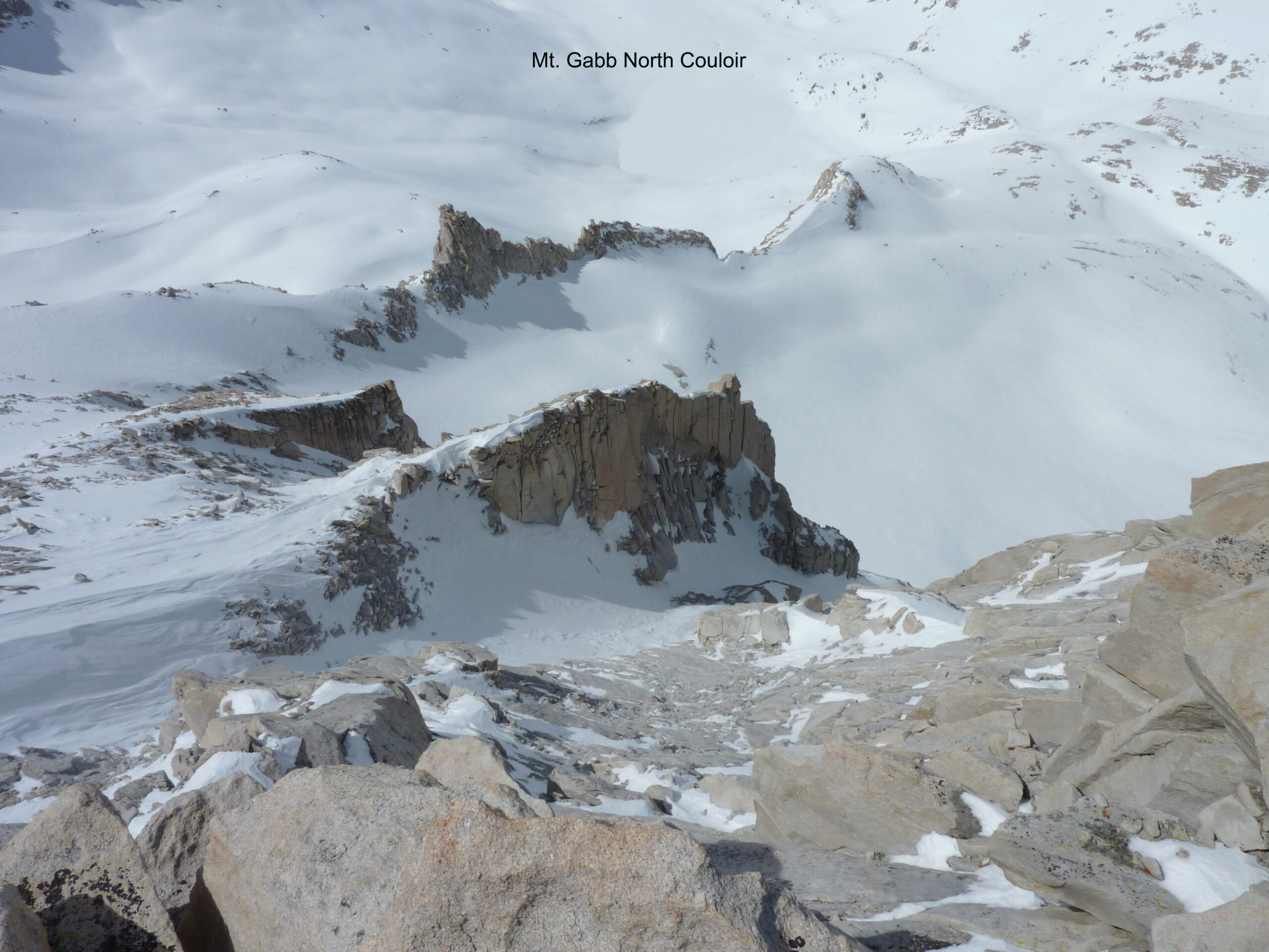
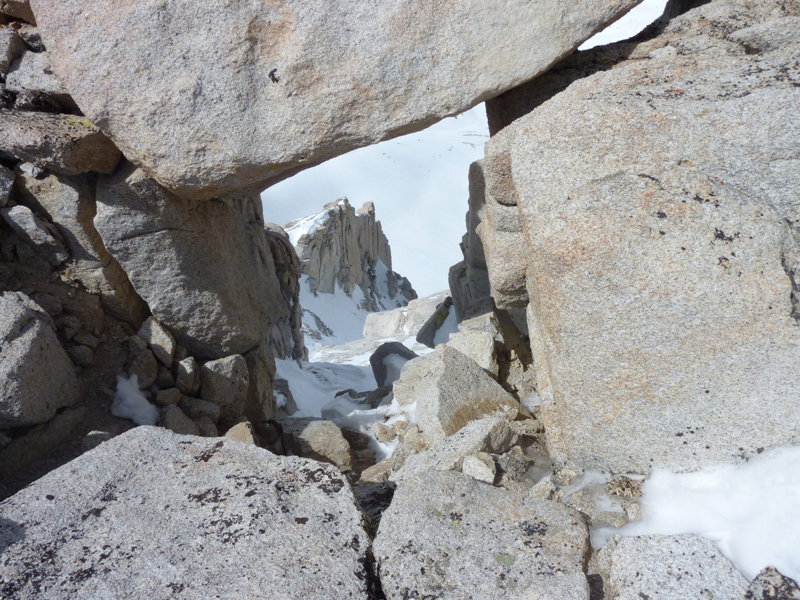
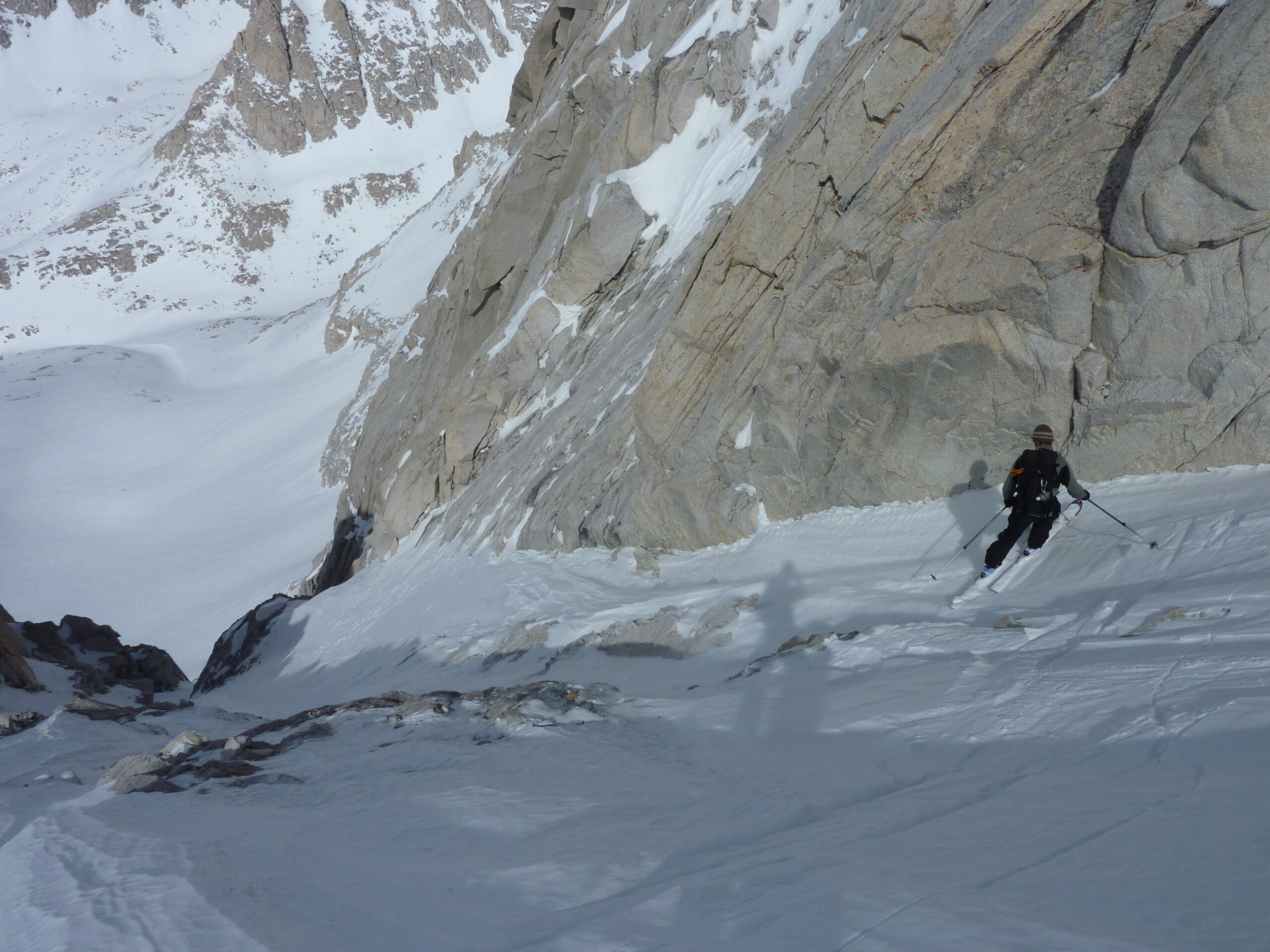
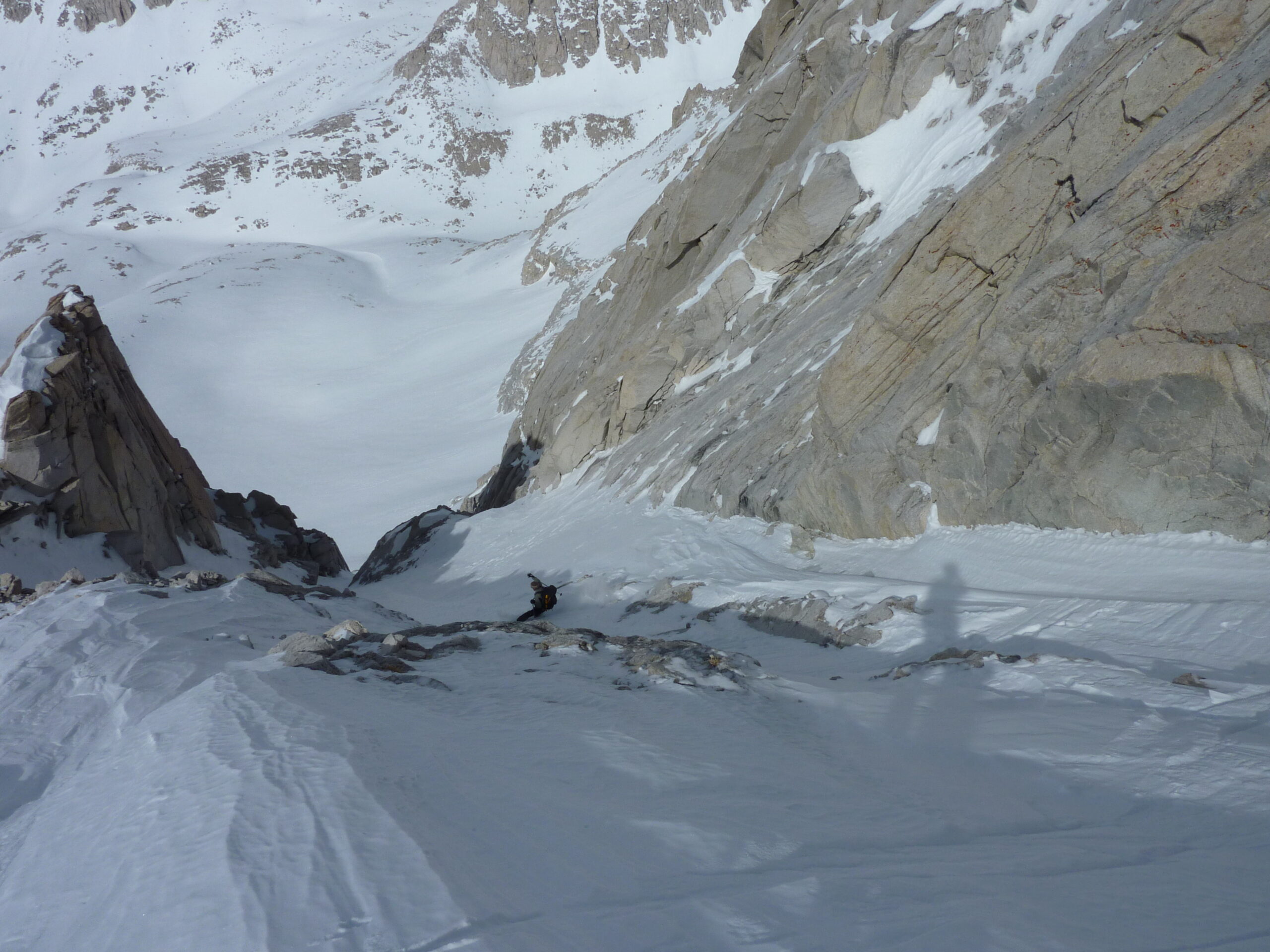
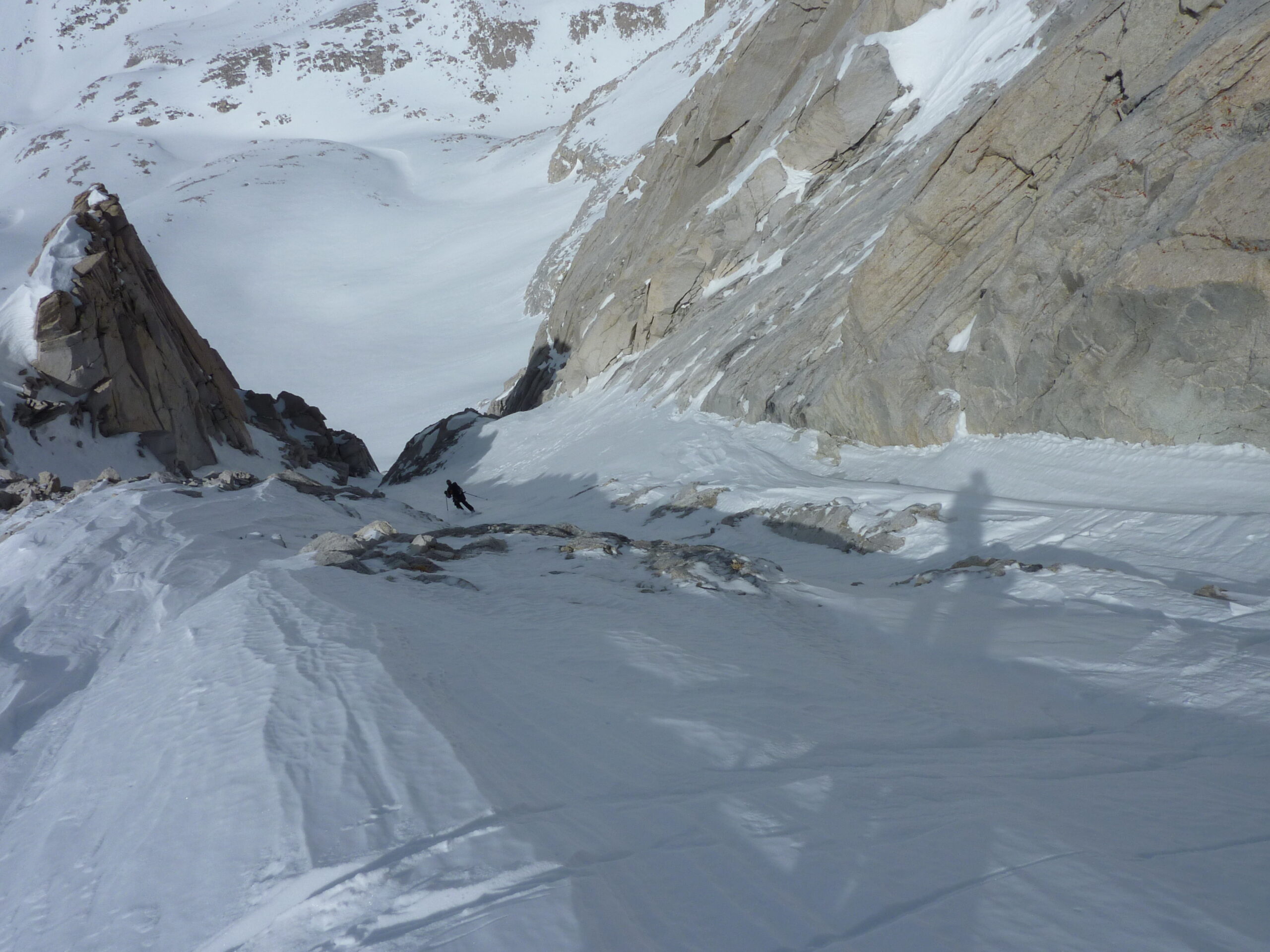
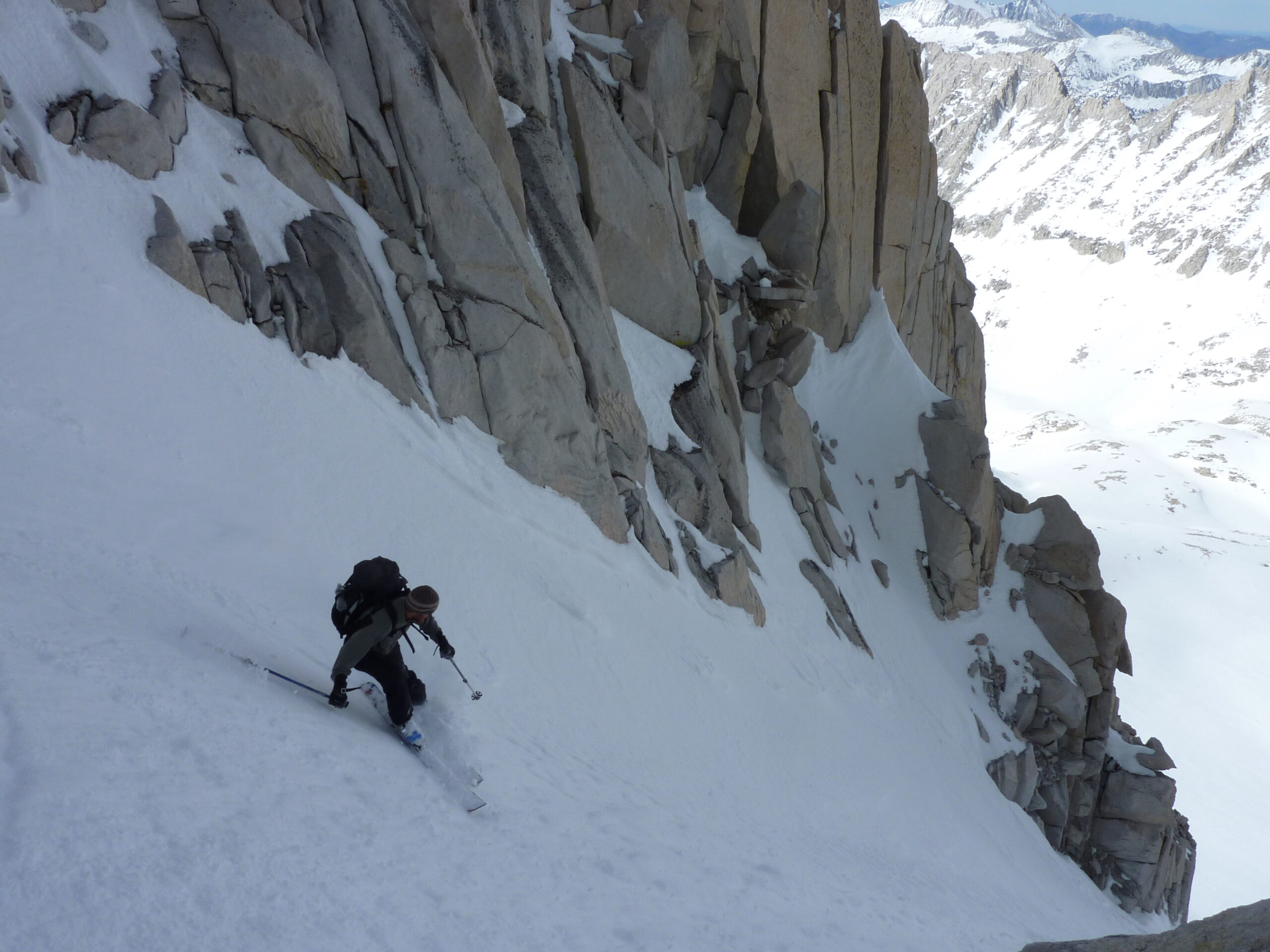
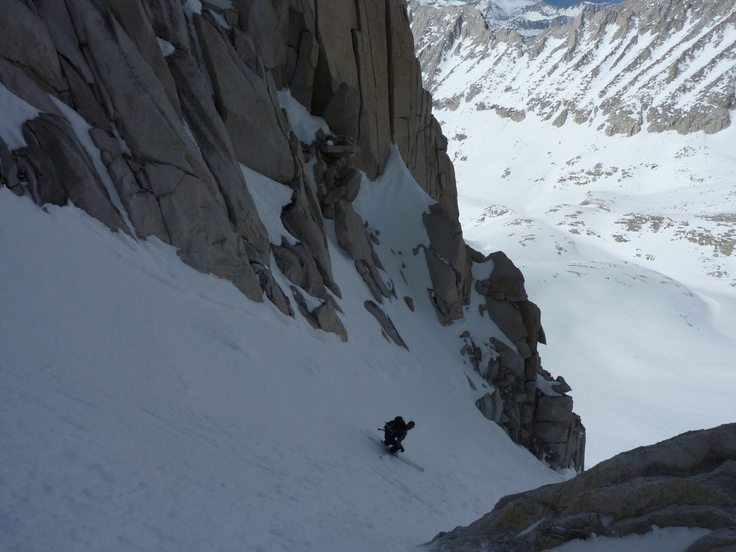
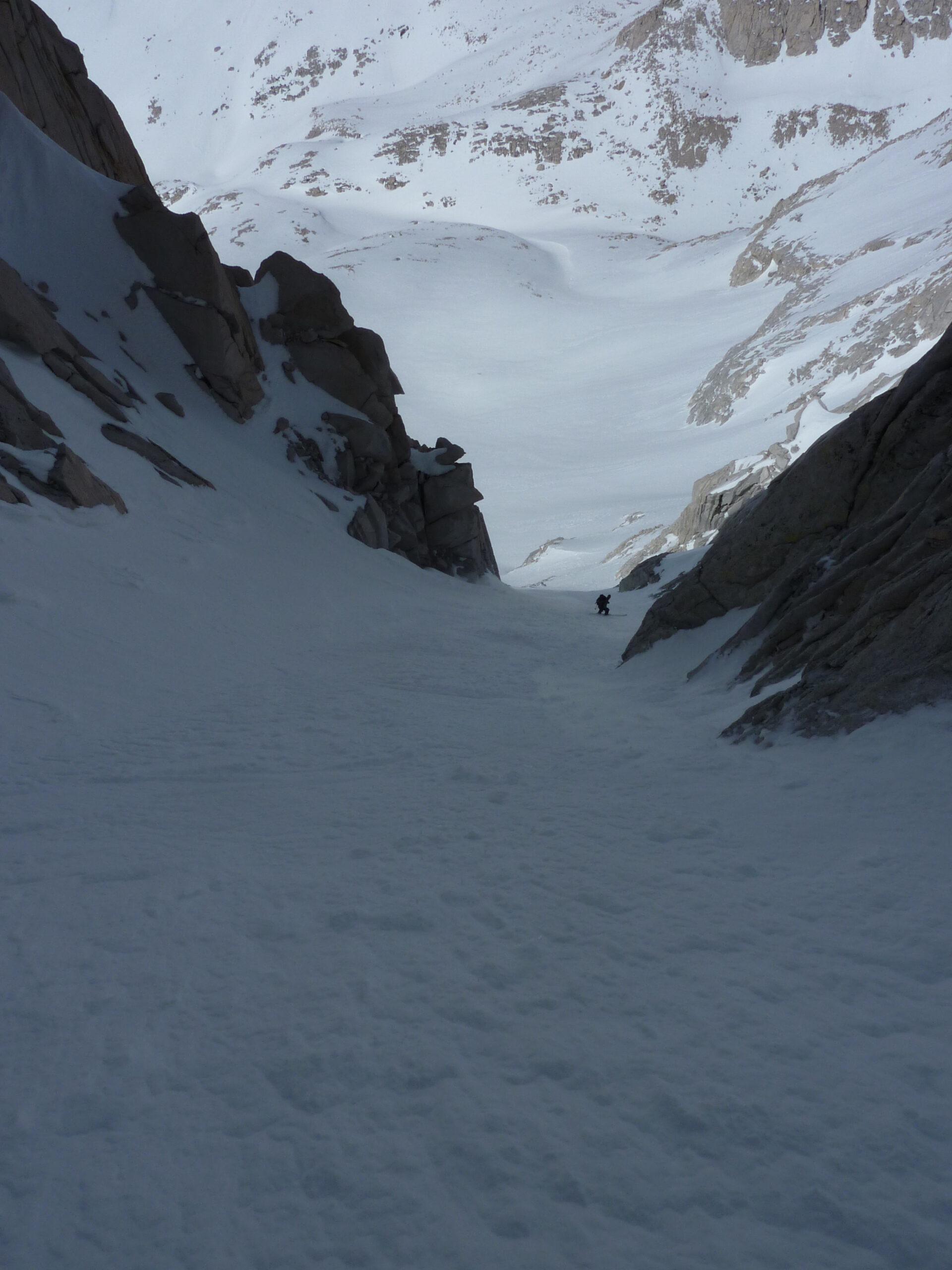
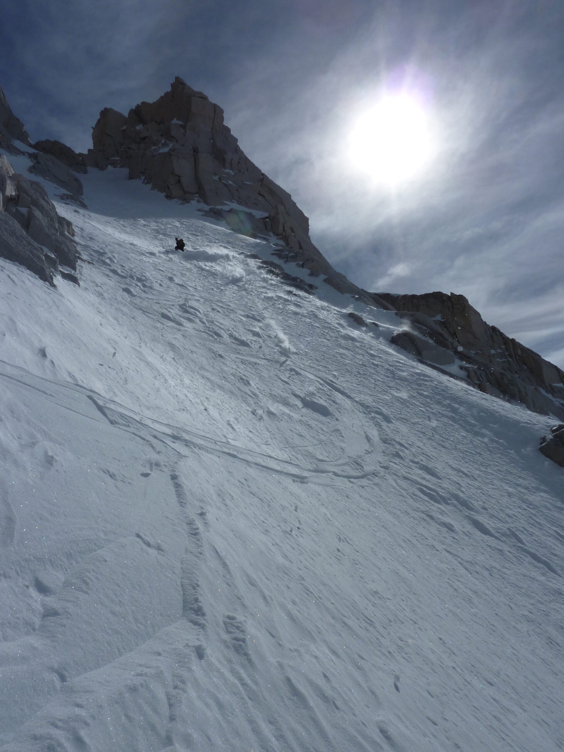
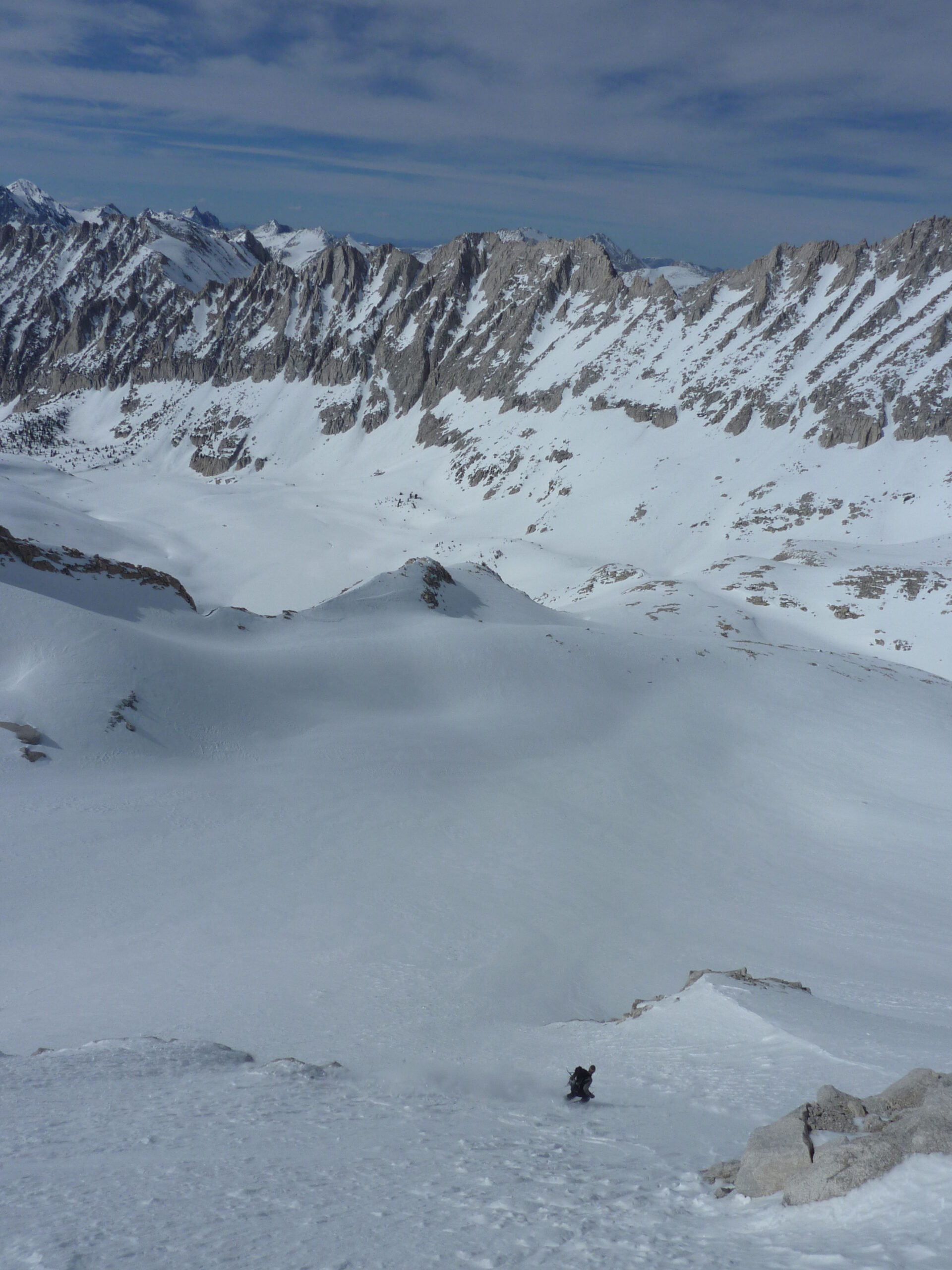
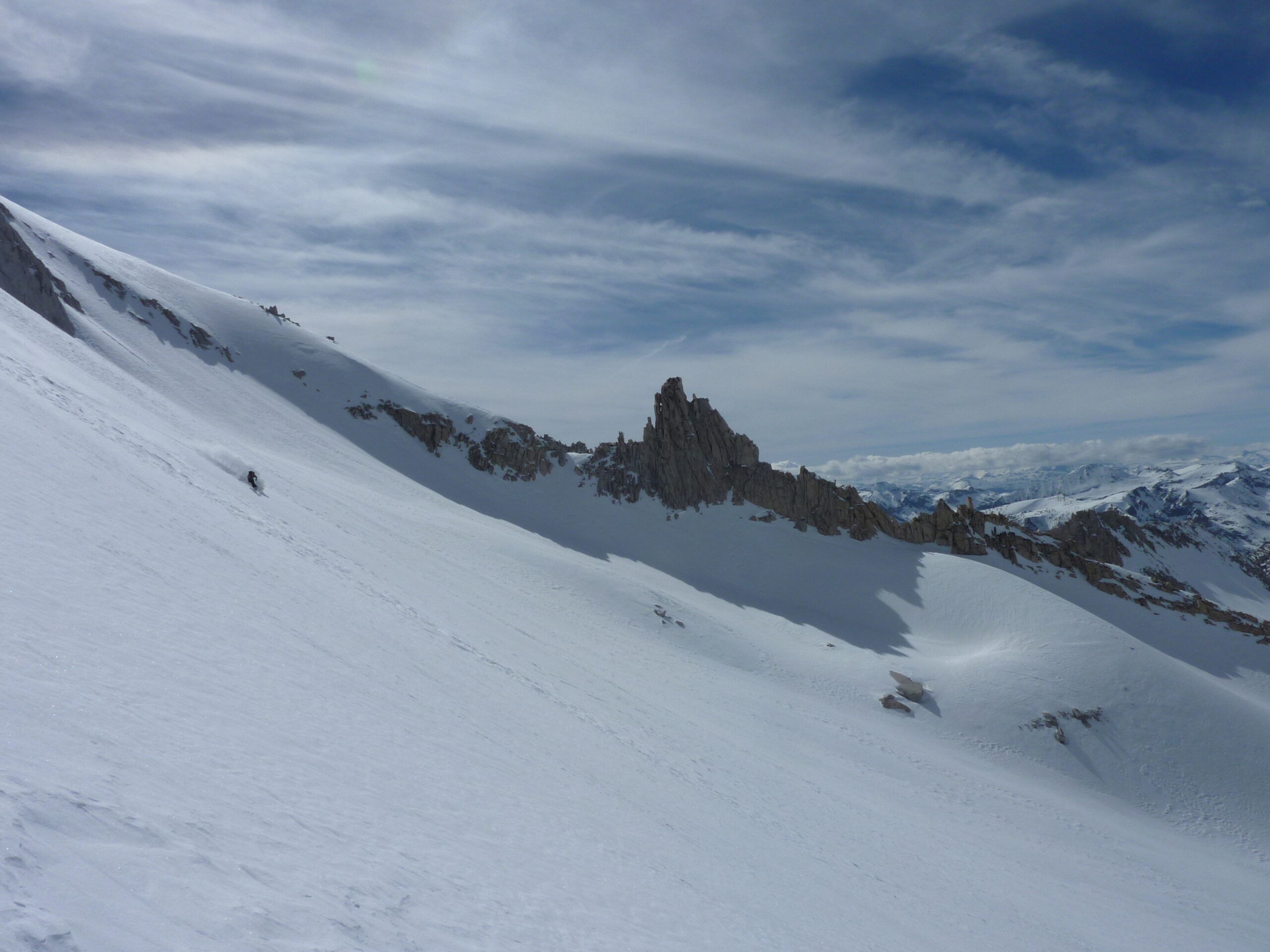
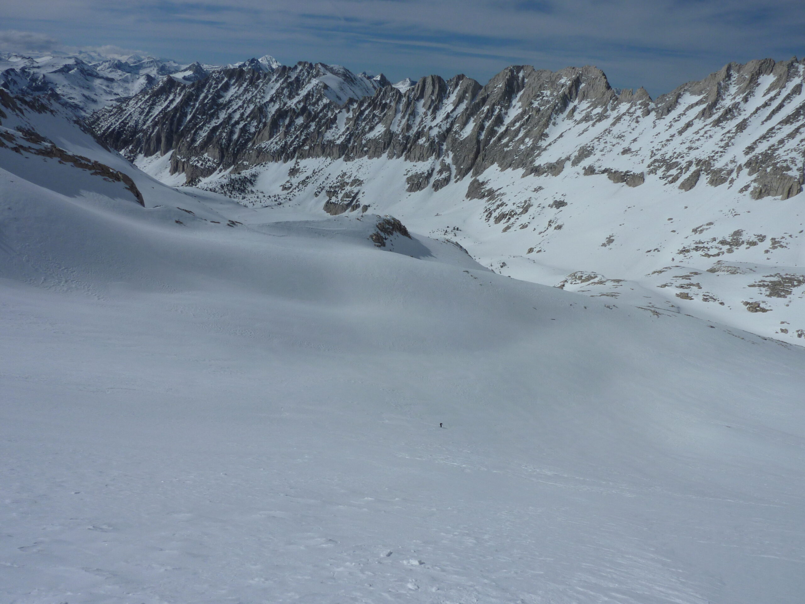
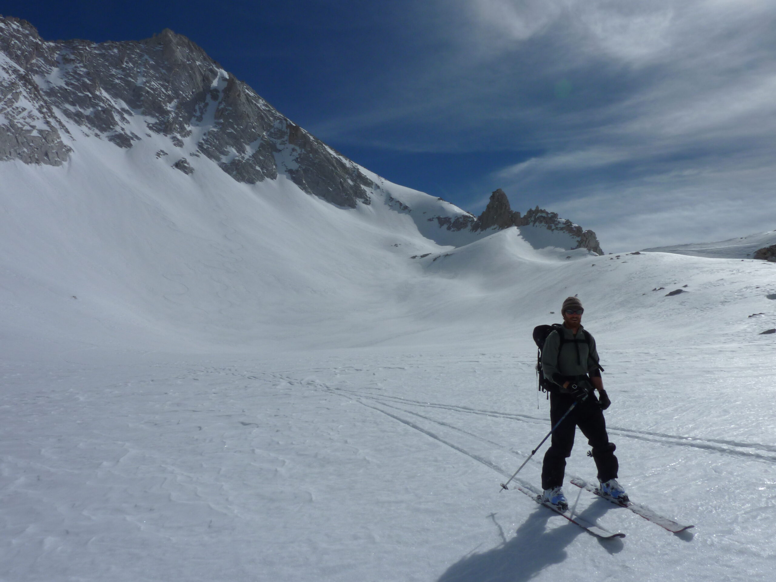
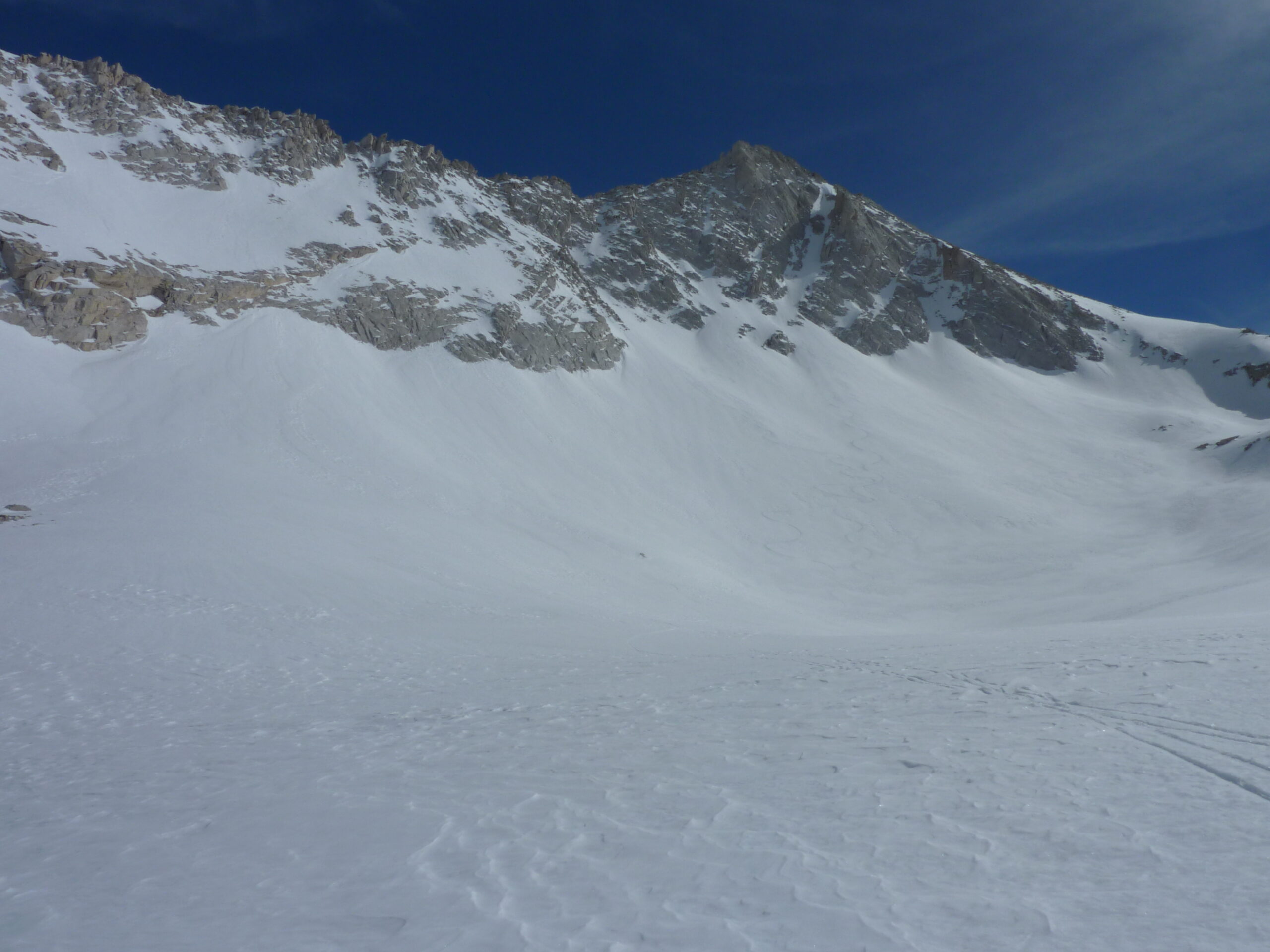
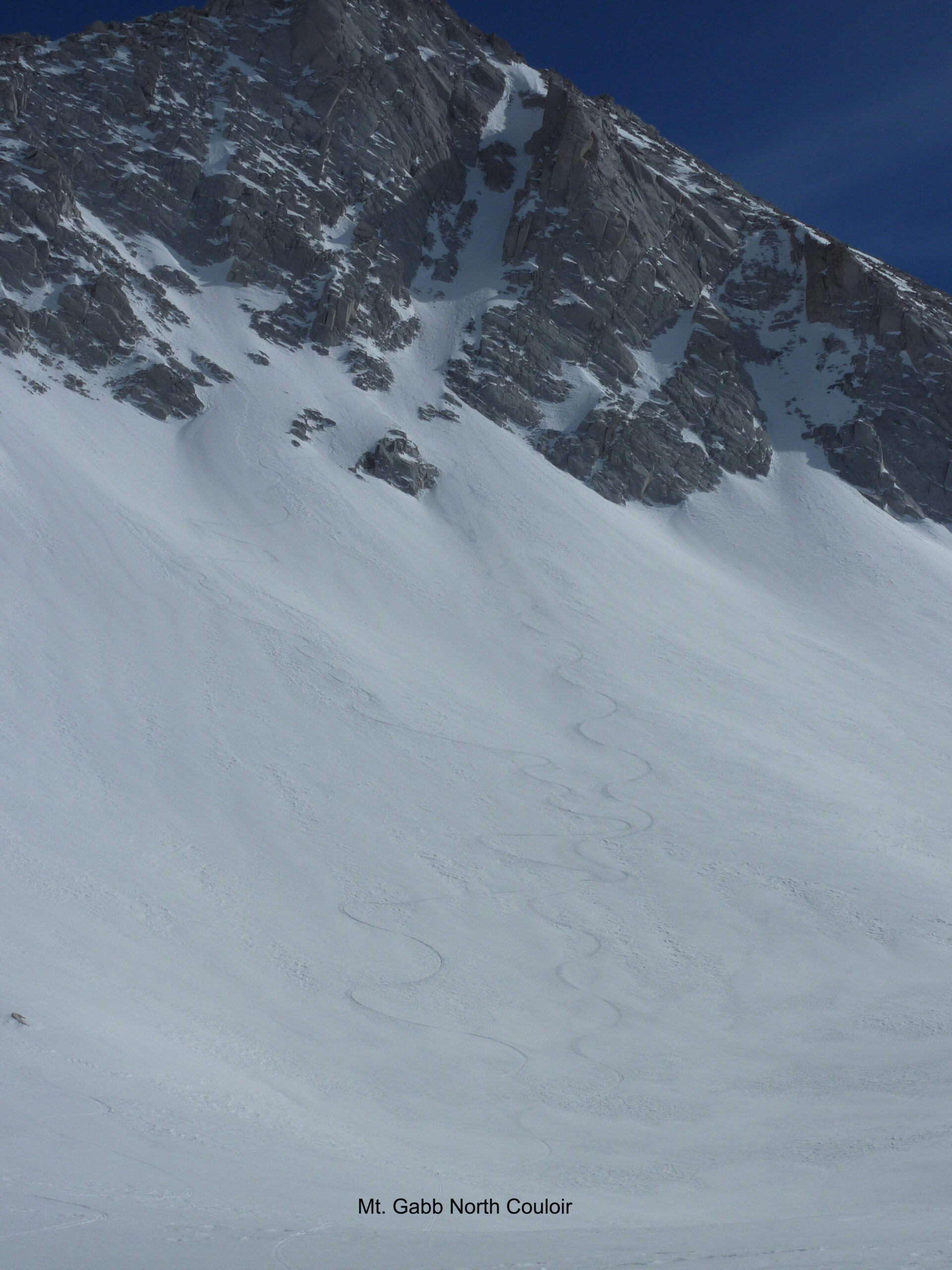
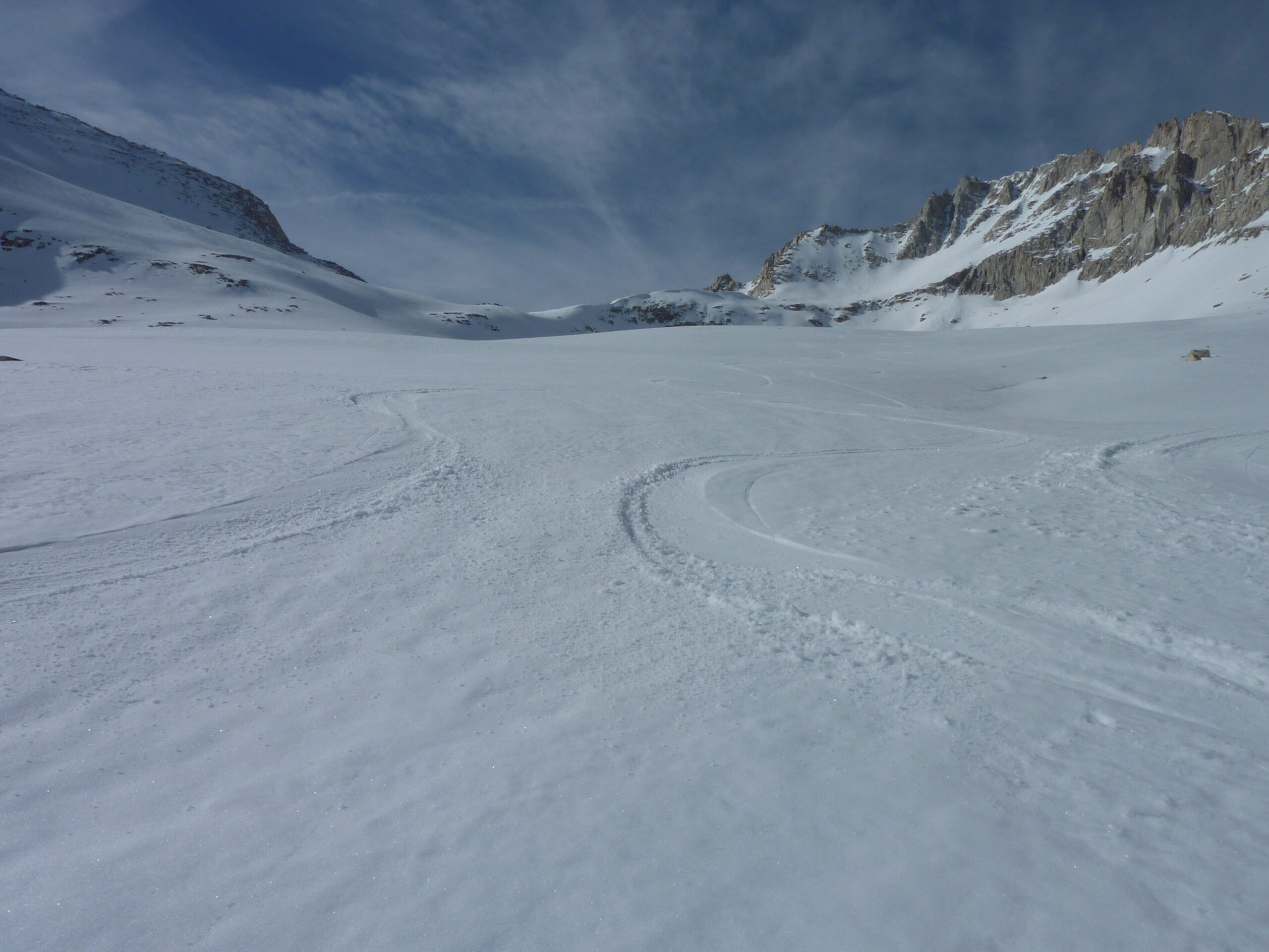
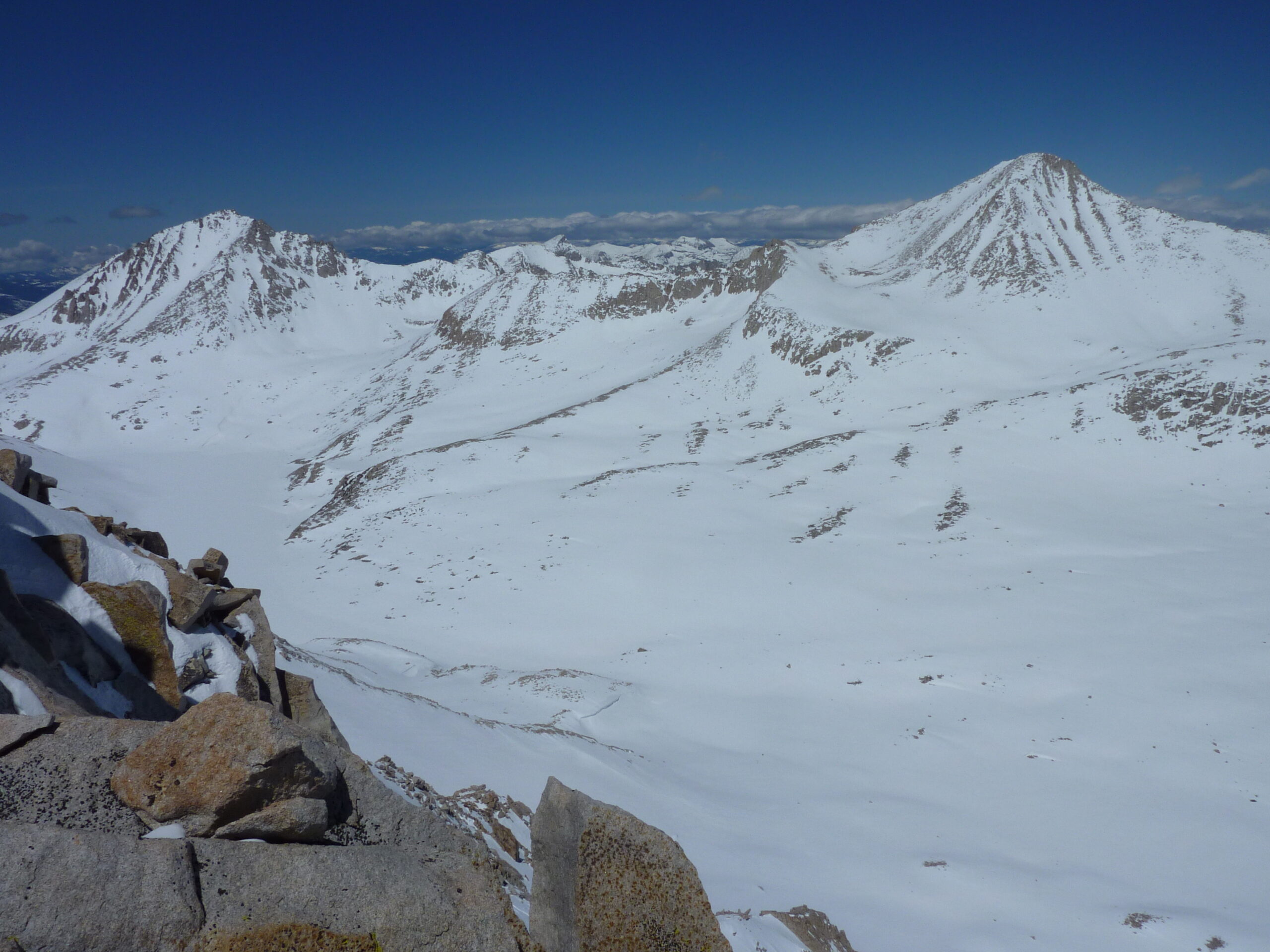
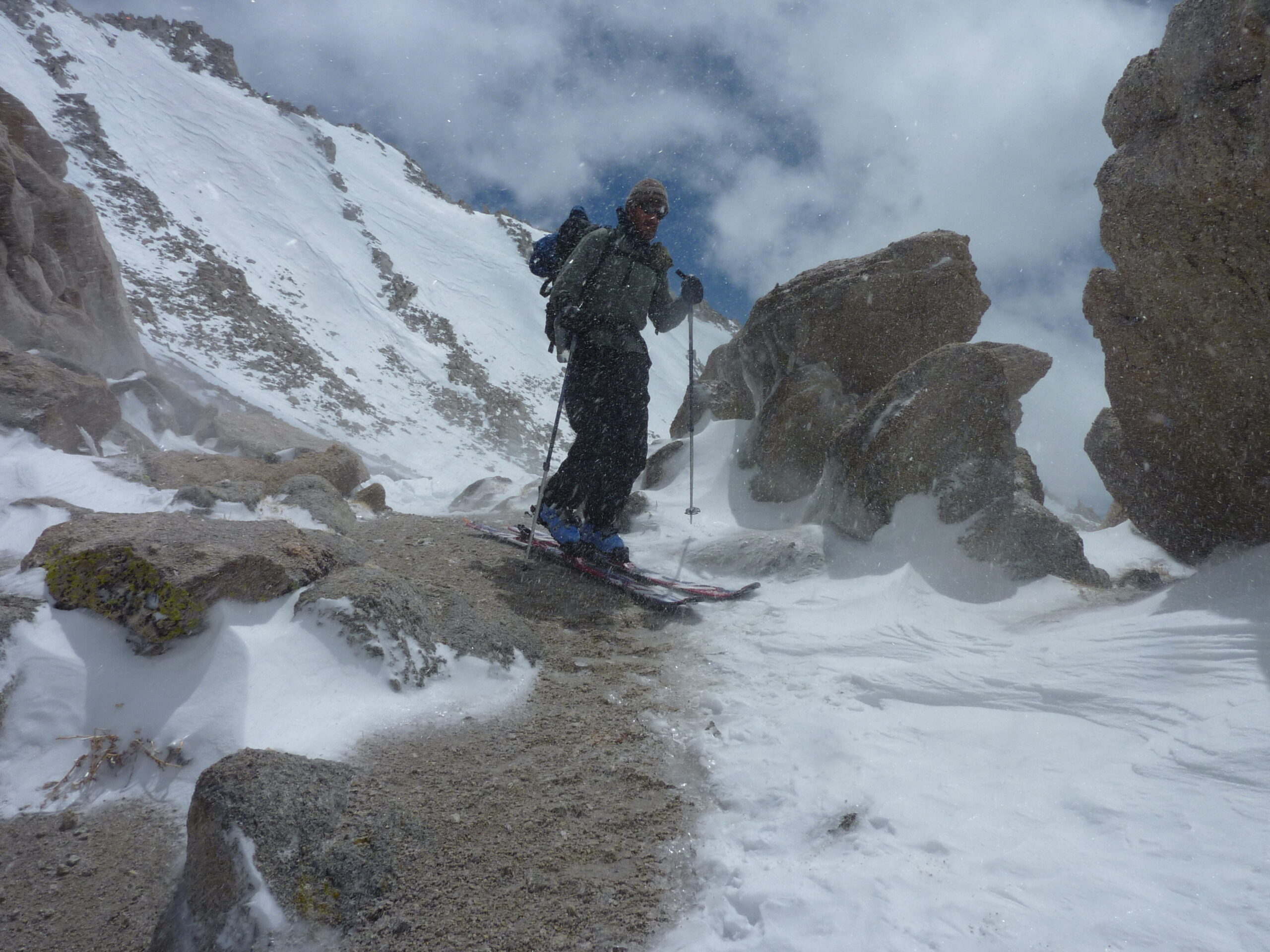
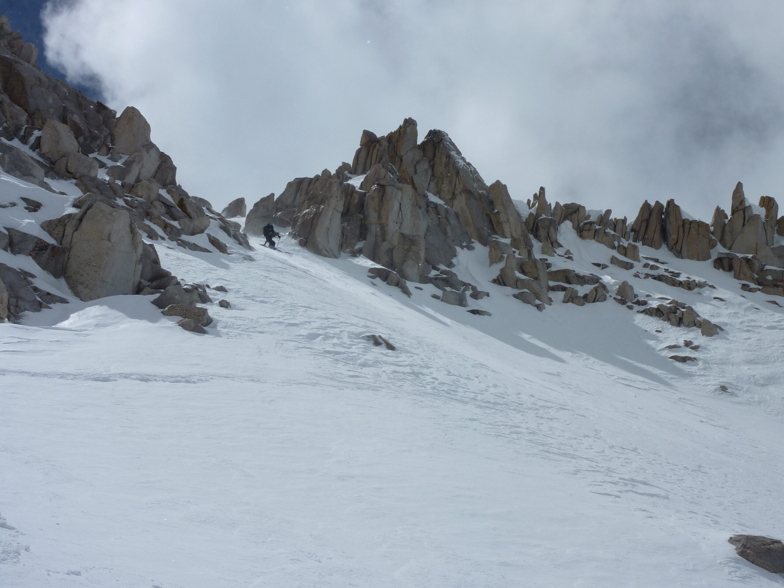
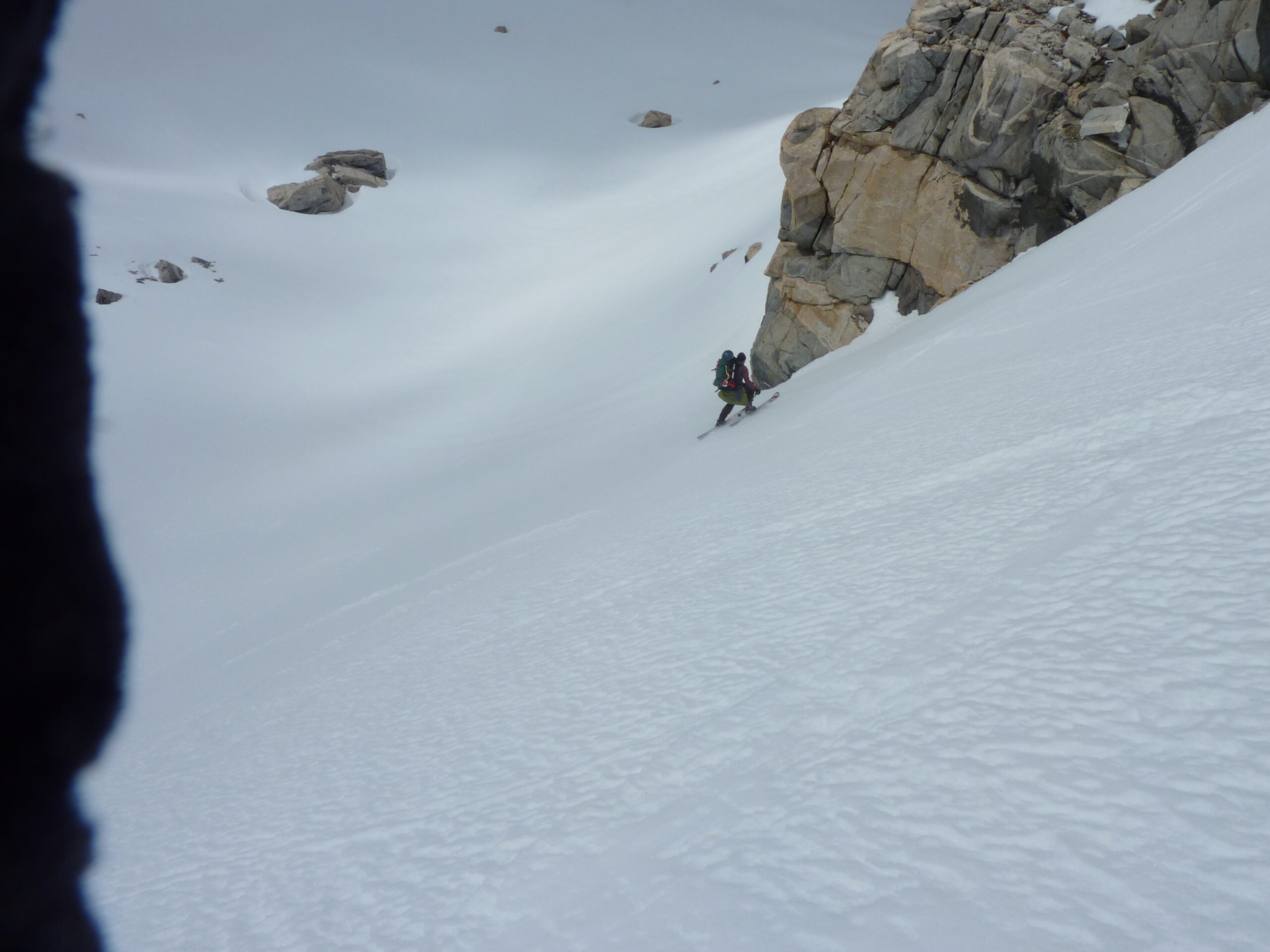
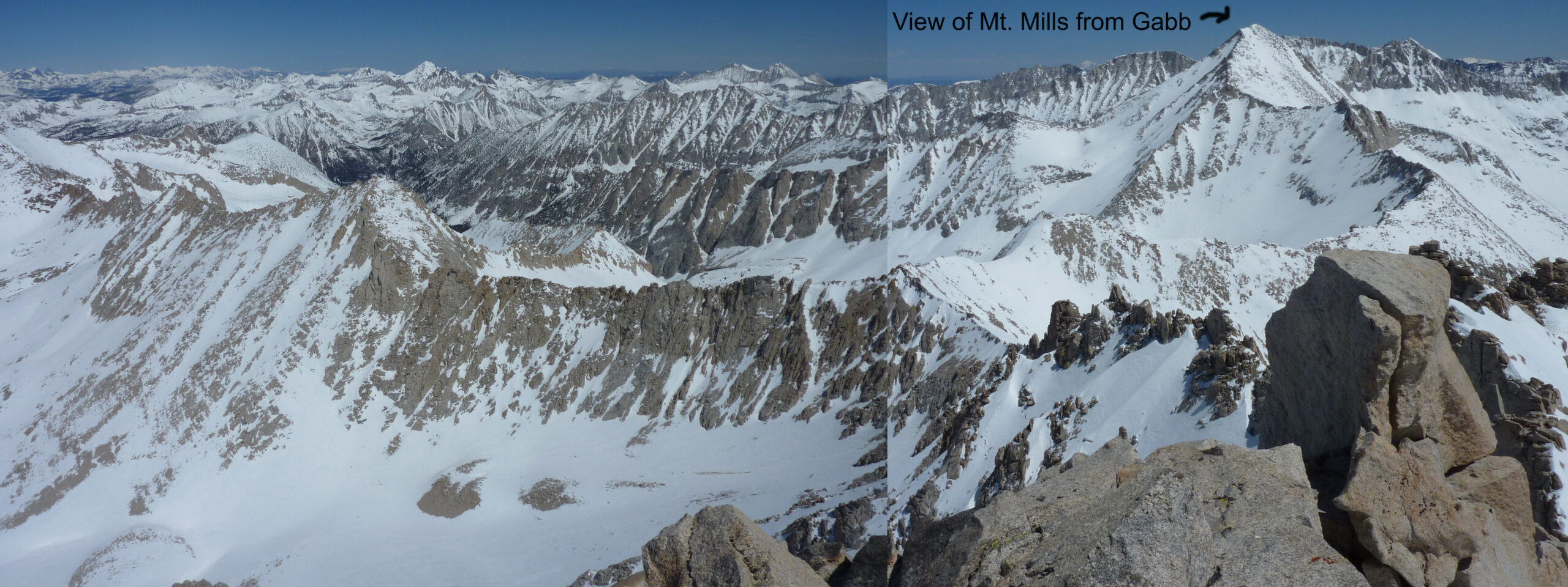
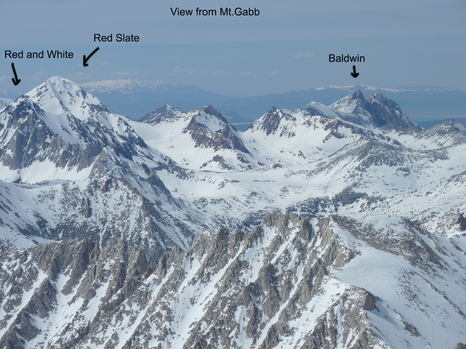
Climbing Gabb wasn’t too hard, and we walked around to look down at the scary north couloir. The wind had blasted it smooth. I don’t know what we were thinking, I wouldn’t ski it in those conditions today. It wasn’t even filled in at the top. I let Greg go first and assumed my edges would hold if his did. After some very careful side slipping, the snow got a little more edgeable. Not good by any stretch, but usable. By the time we got down to the apron, we found shin deep Sierra Pow and made some real turns. We lived. Honestly this descent wasn’t too different from that occasional sketchy gnarly sideslip you might find at a ski area. But we were tired and 10 miles from the car. We skinned back up Gabbot Pass to re-enter the side of the peak where we camped and made a few nice afternoon turns in corn snow. I don’t remember that night. I’m sure we just crashed hard.
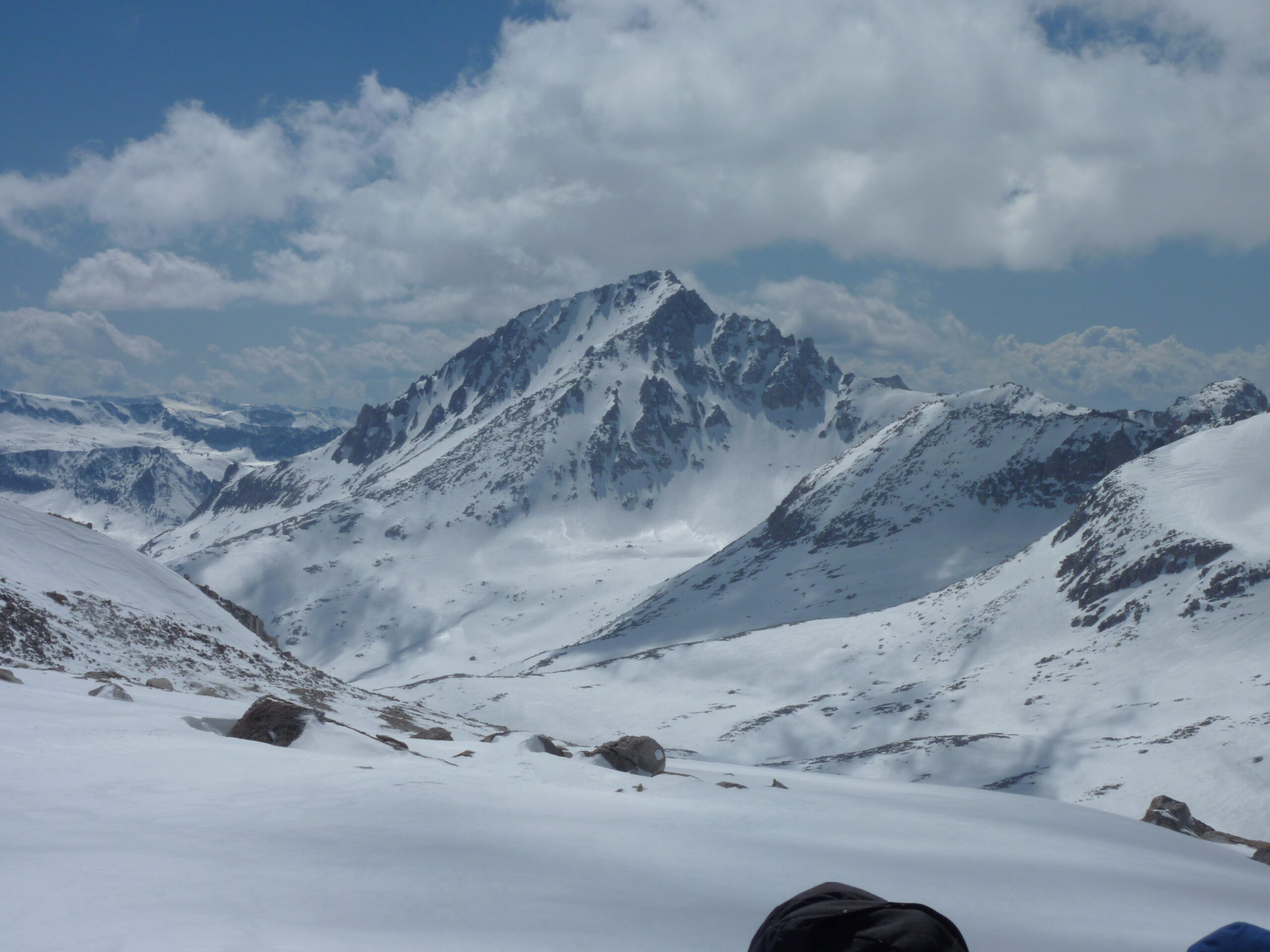
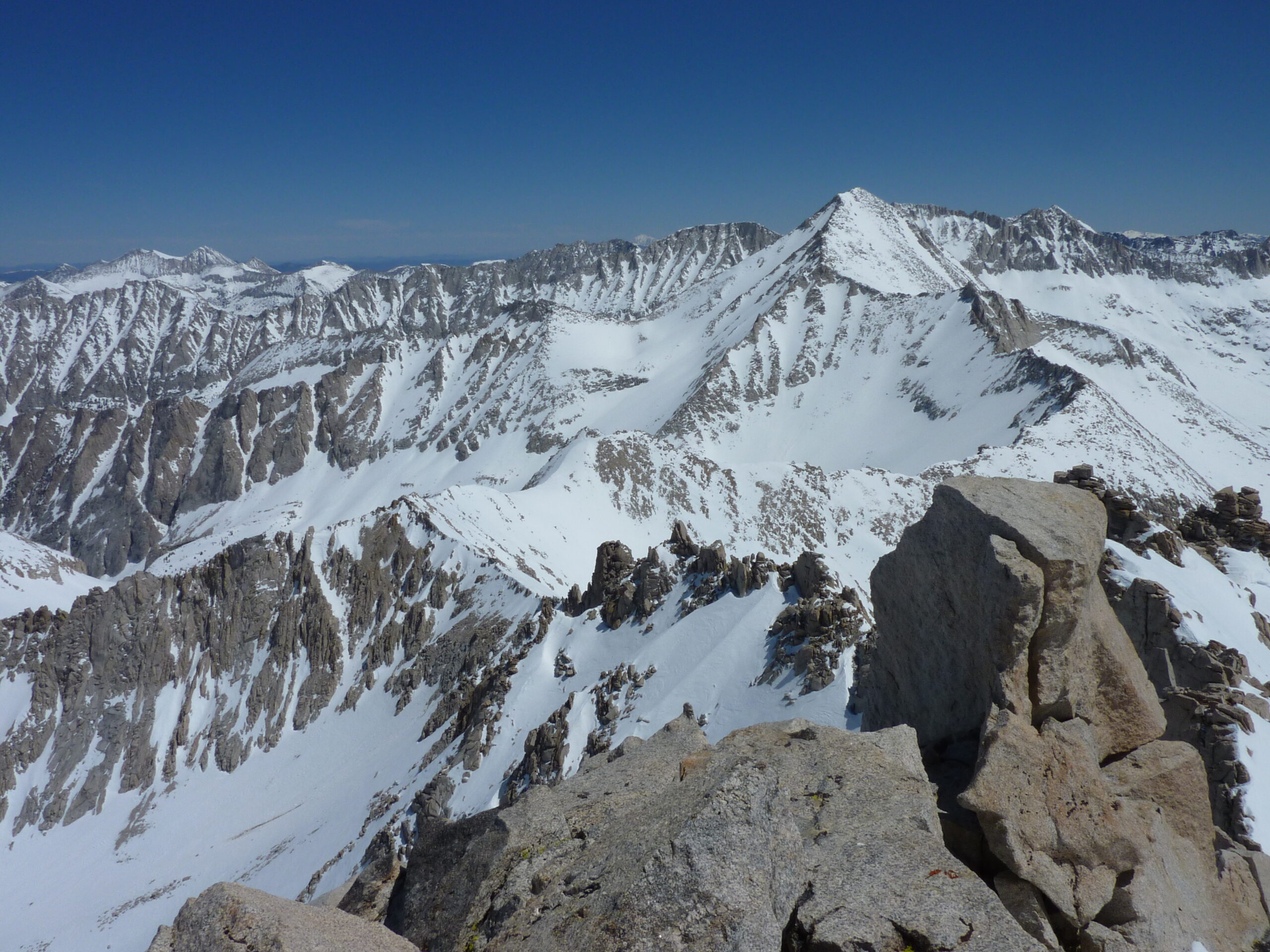
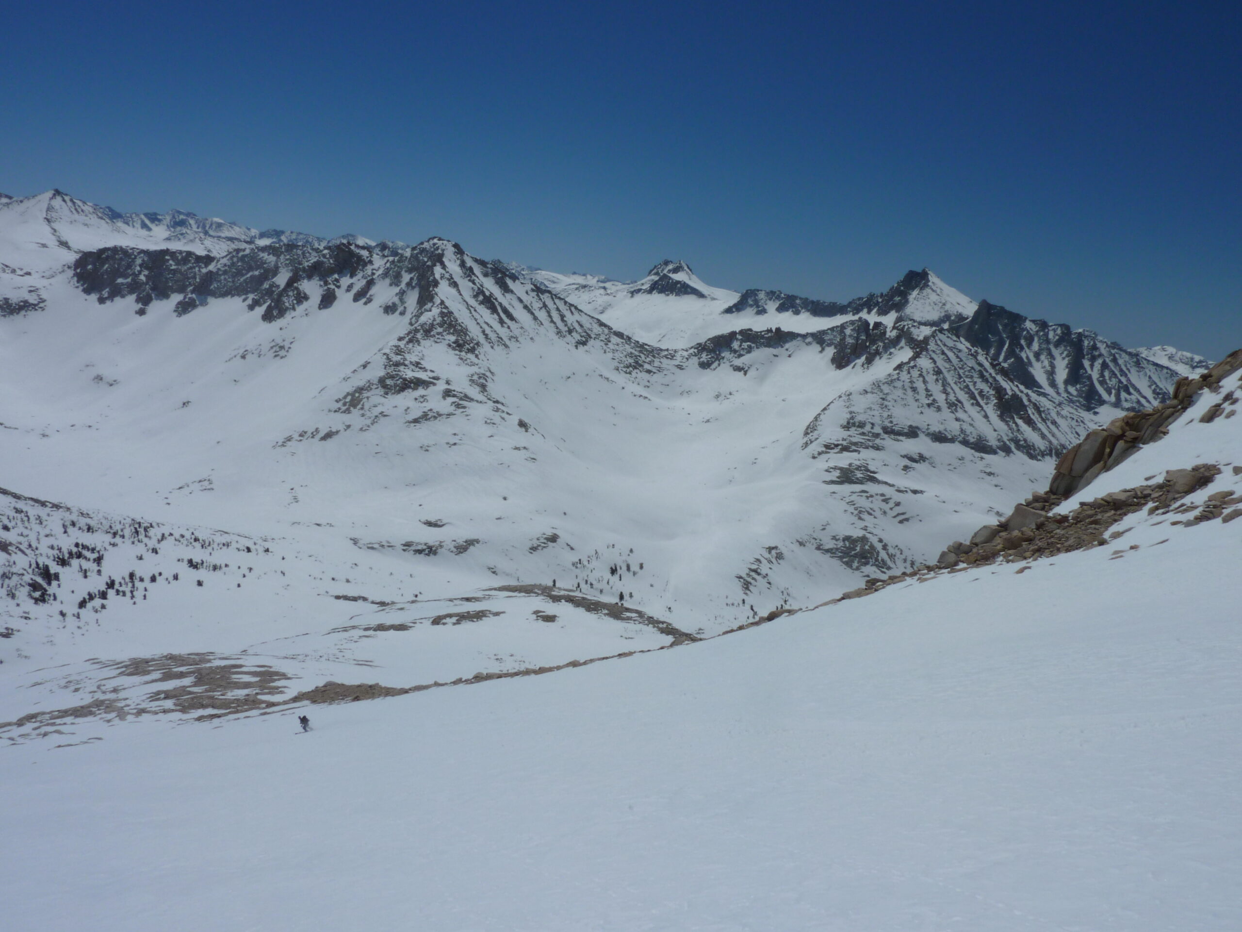
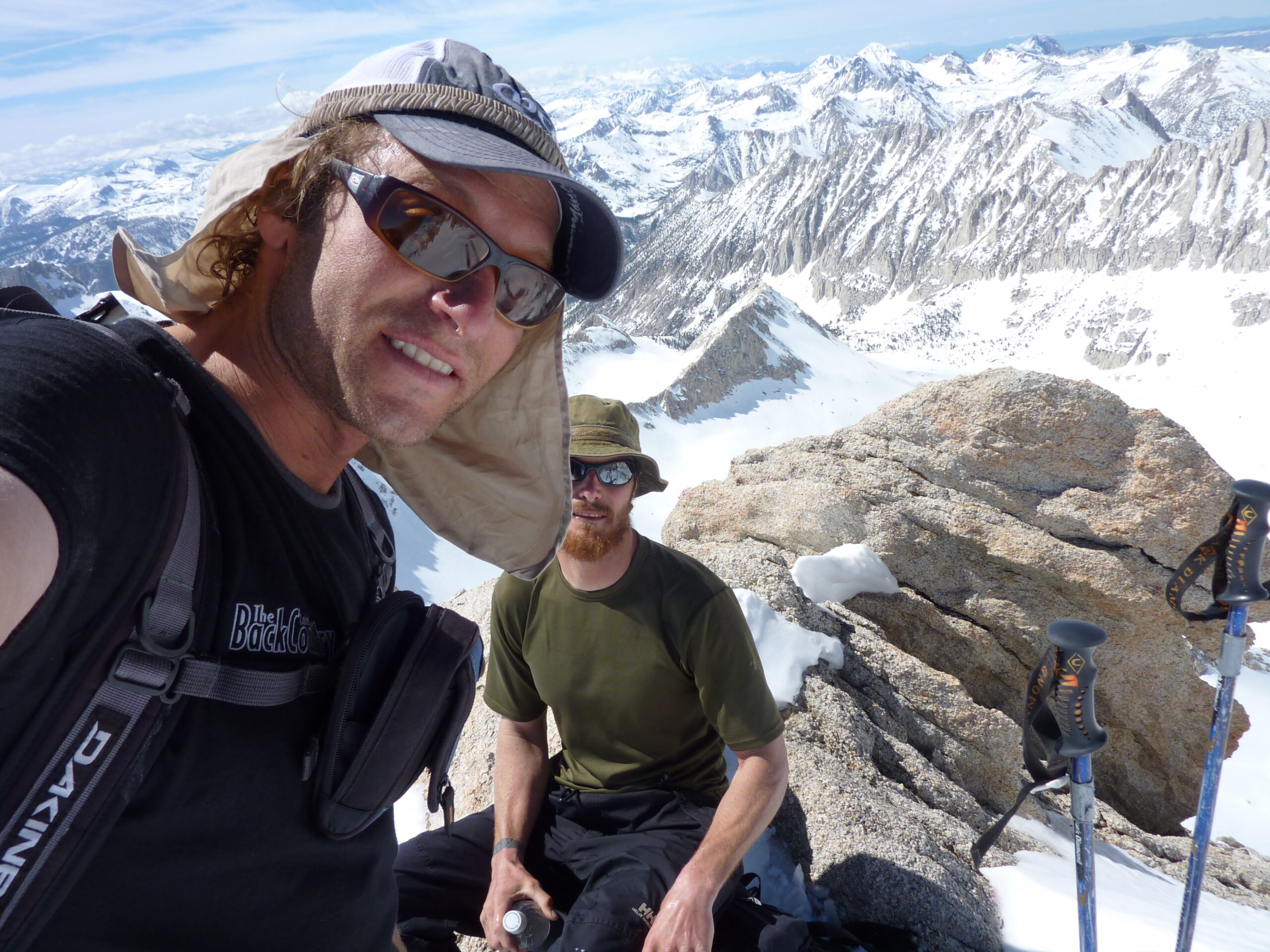
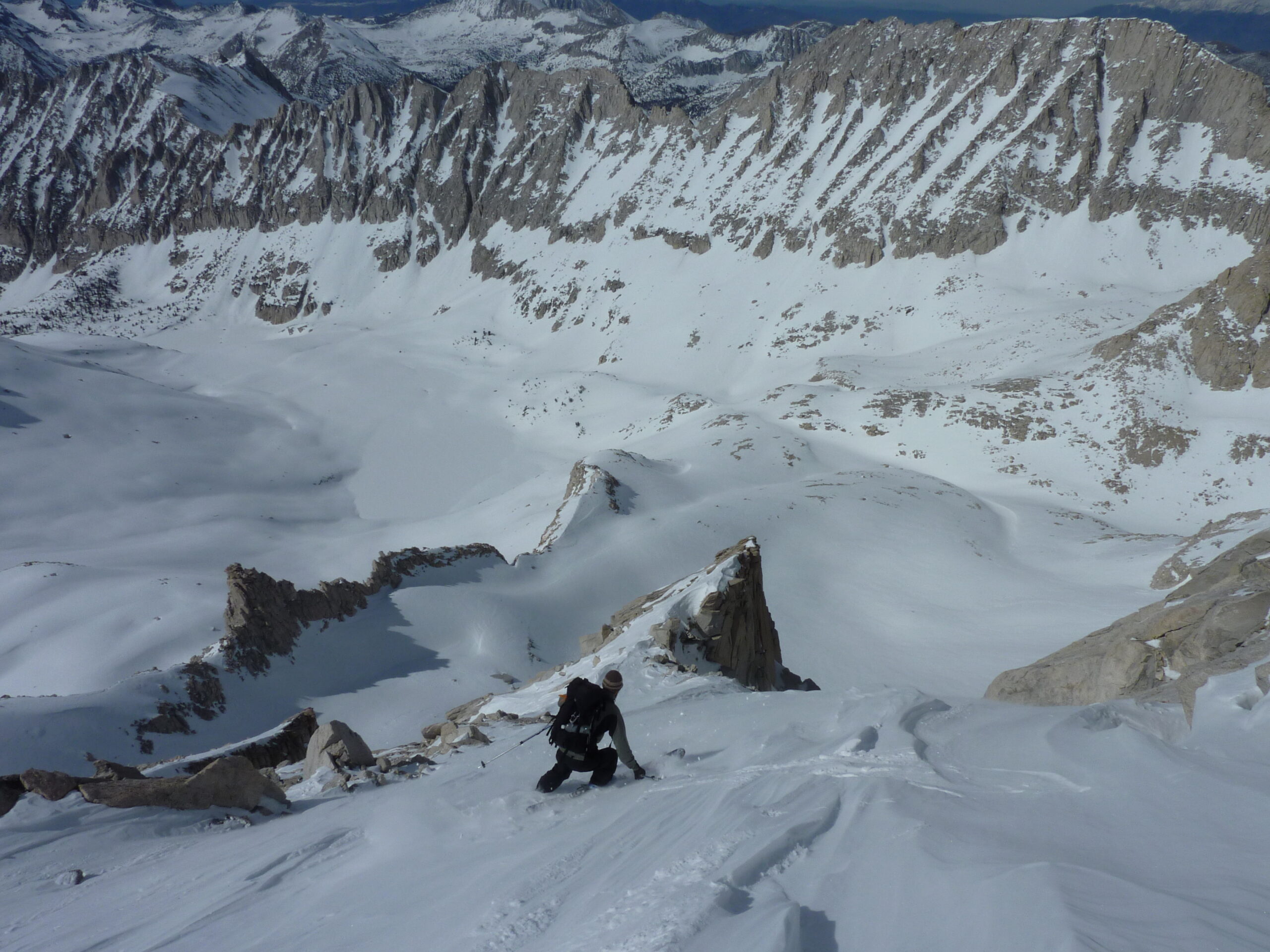
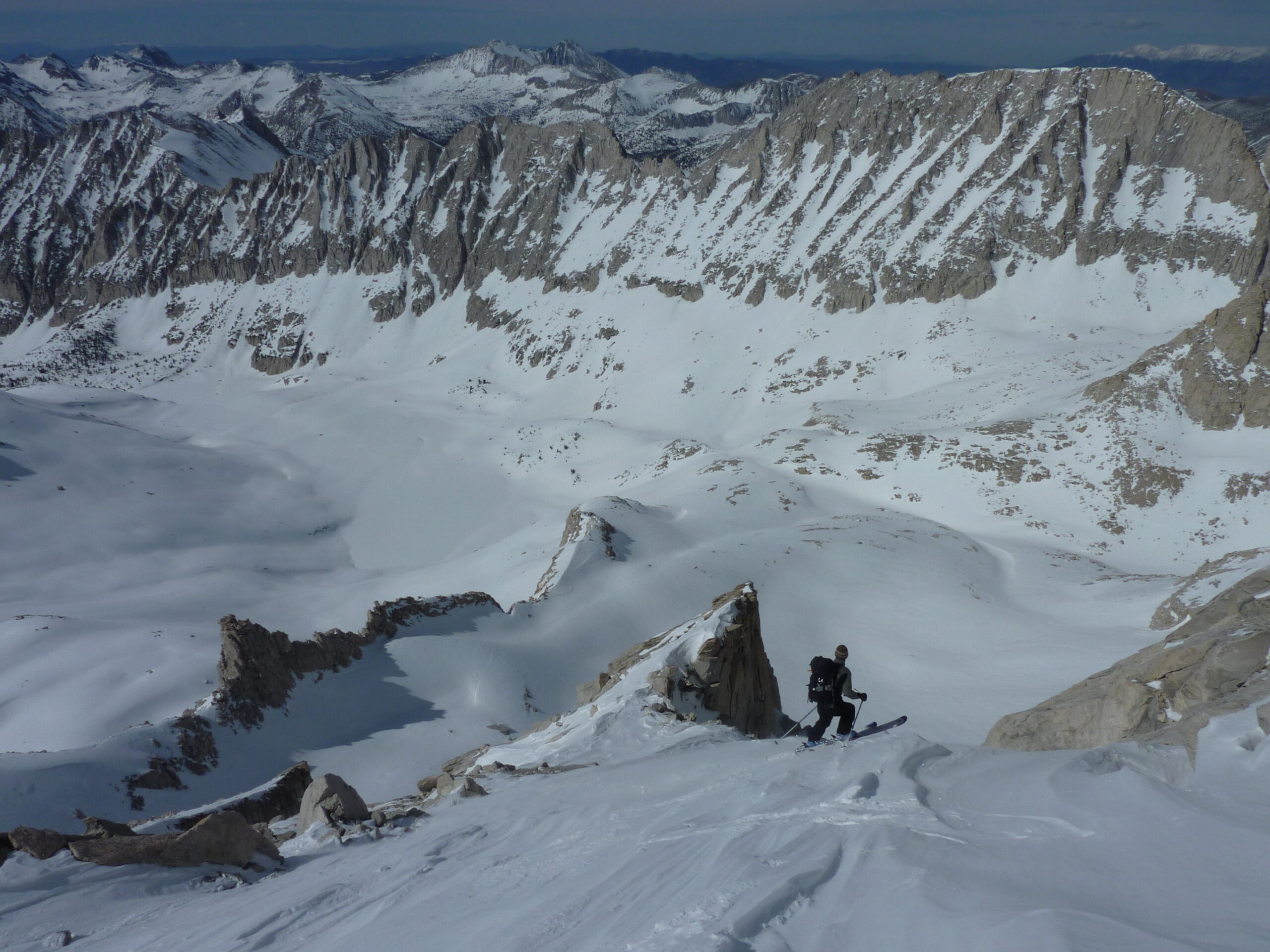
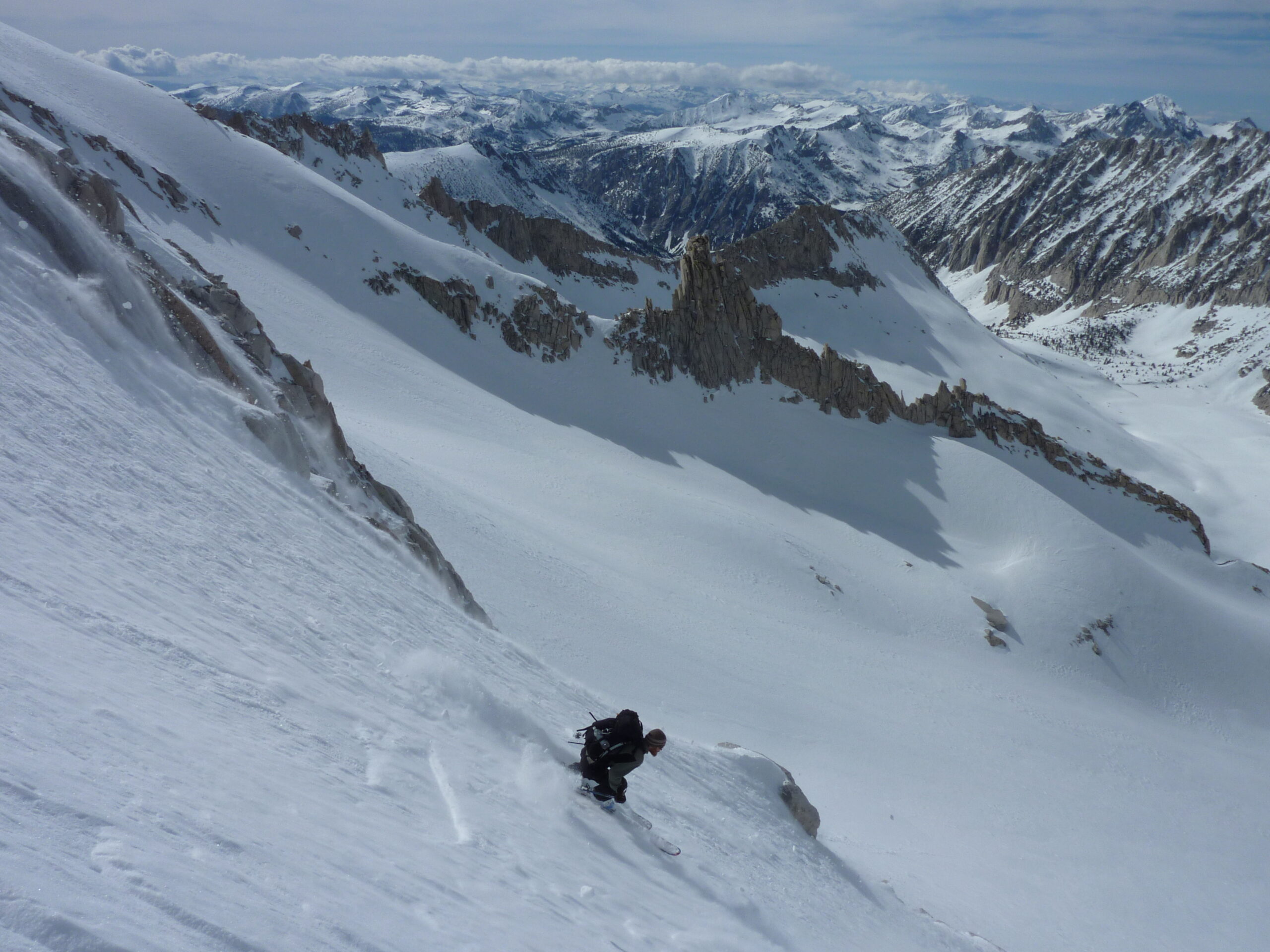
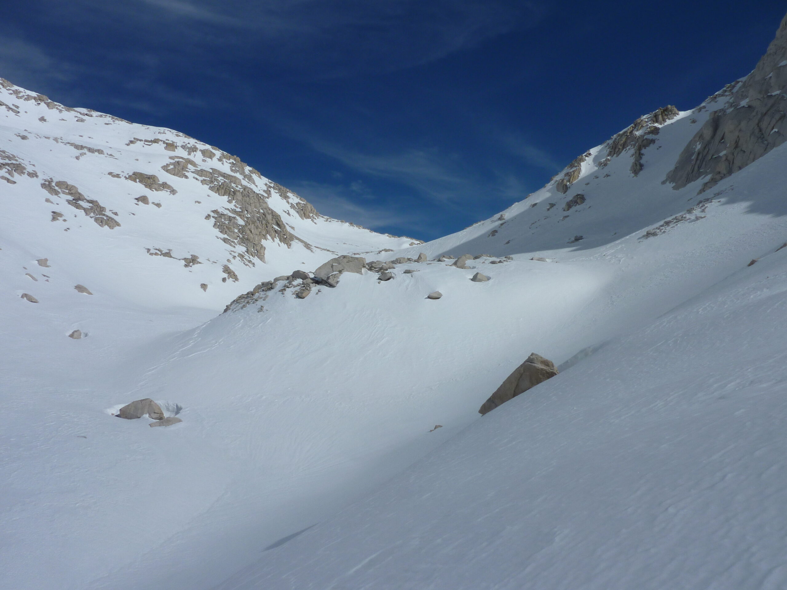
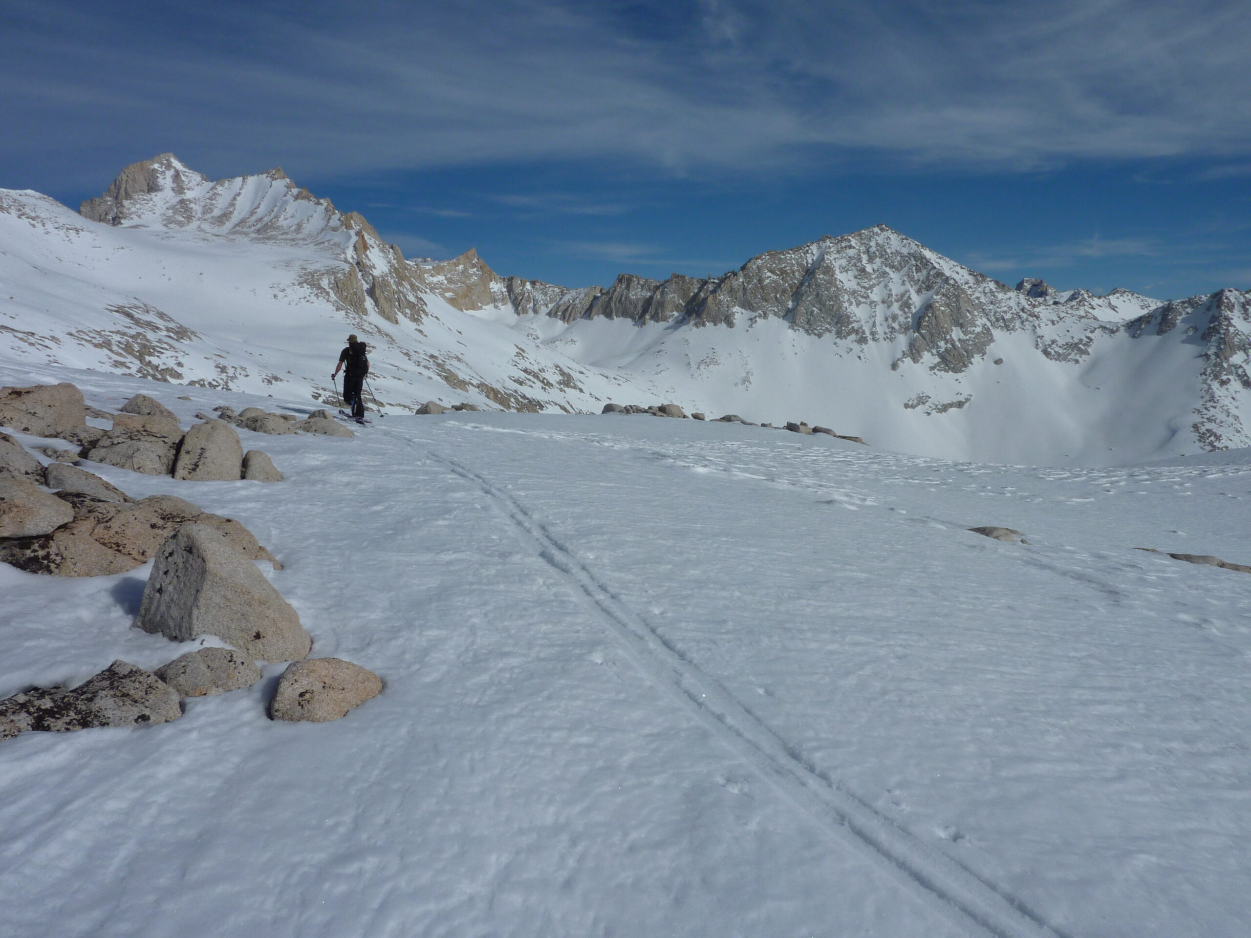
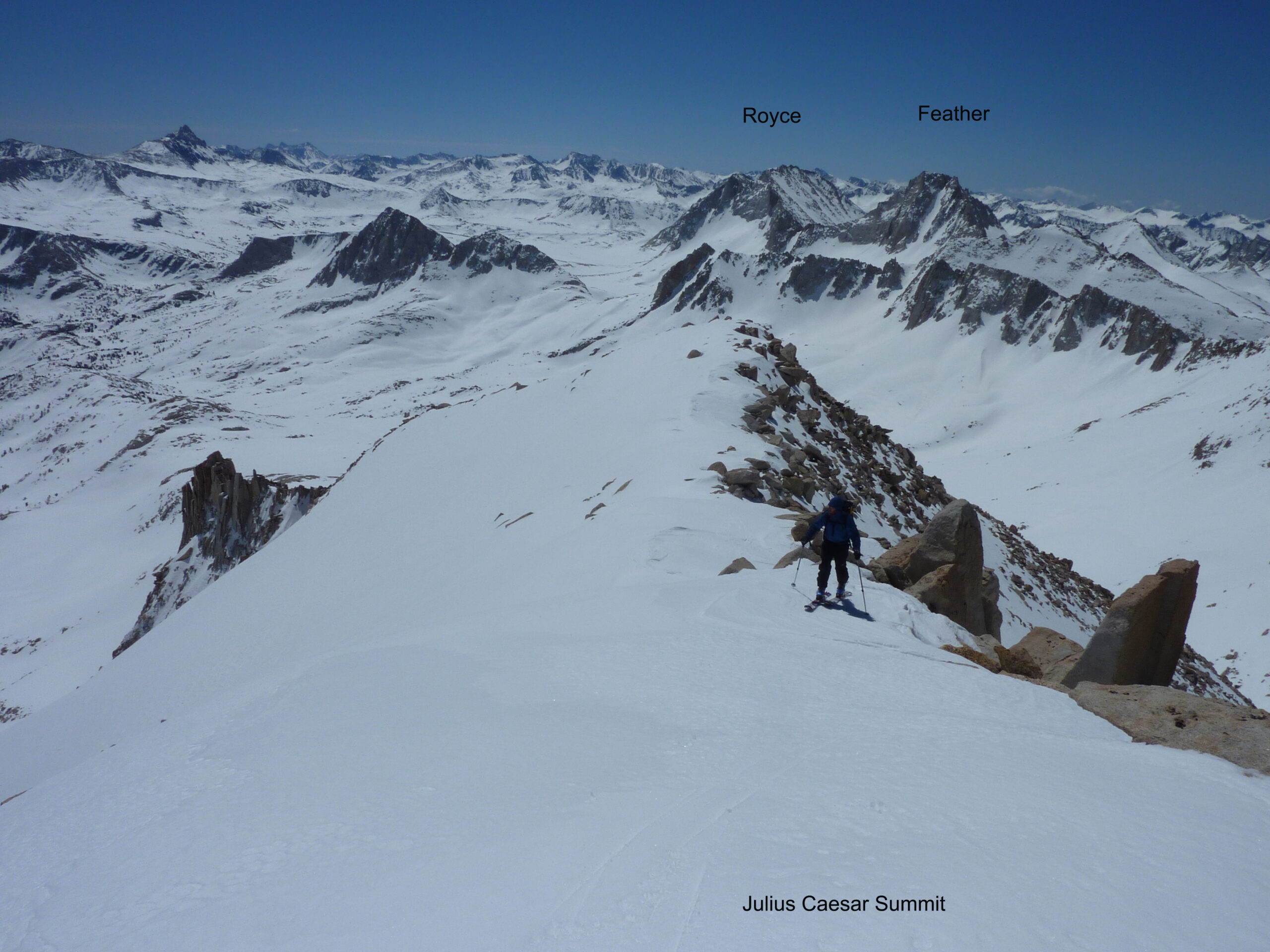
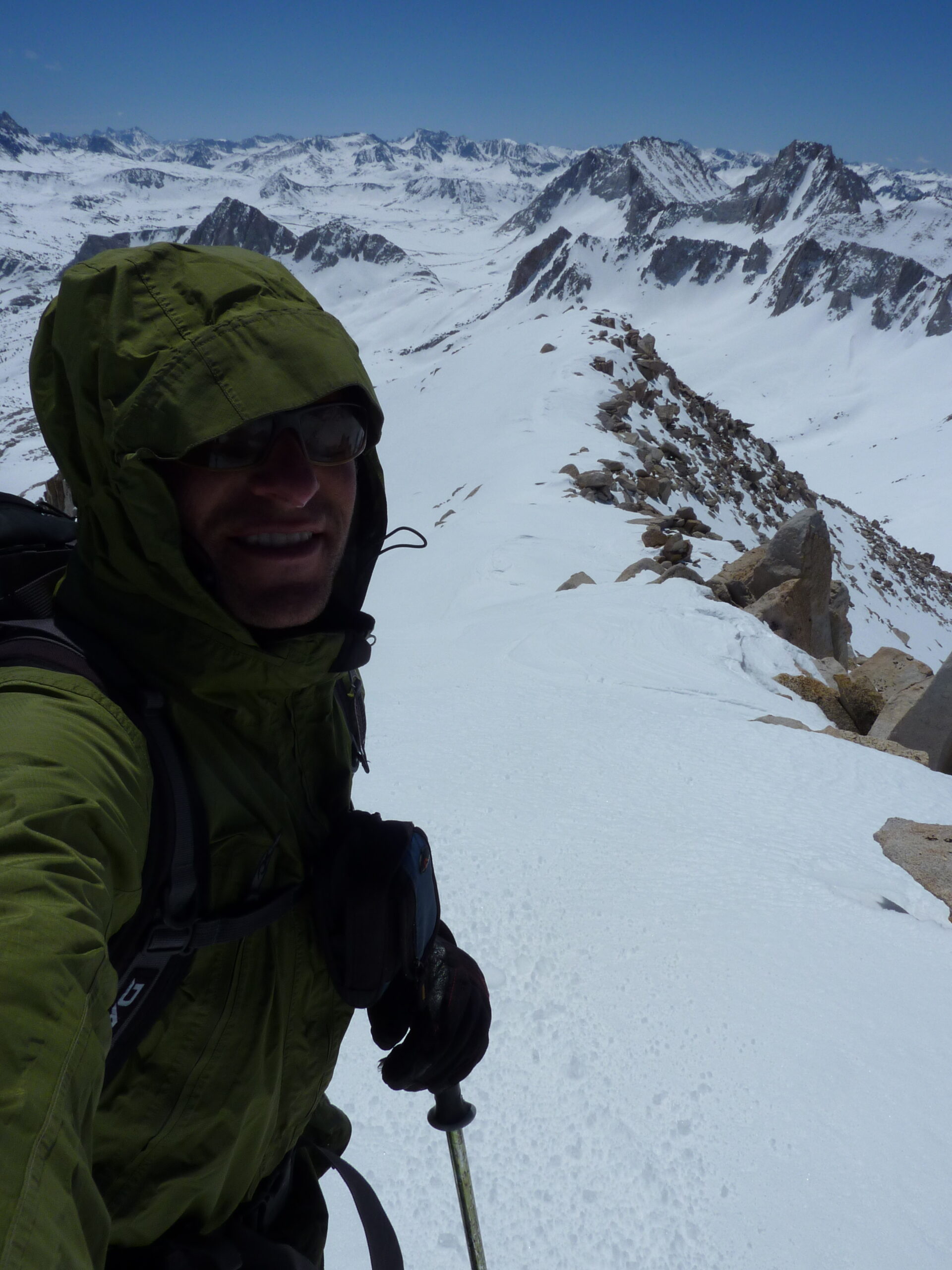
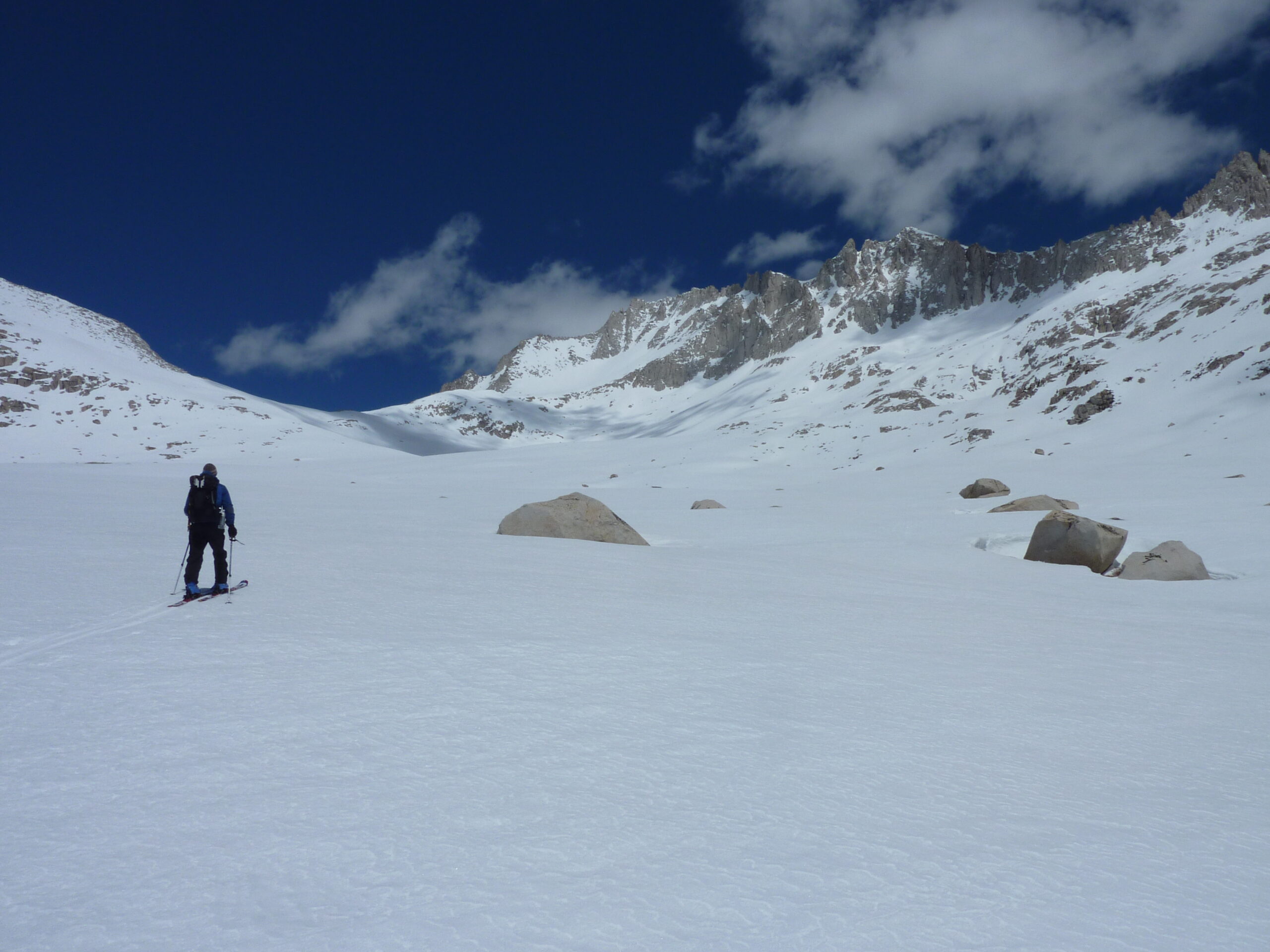
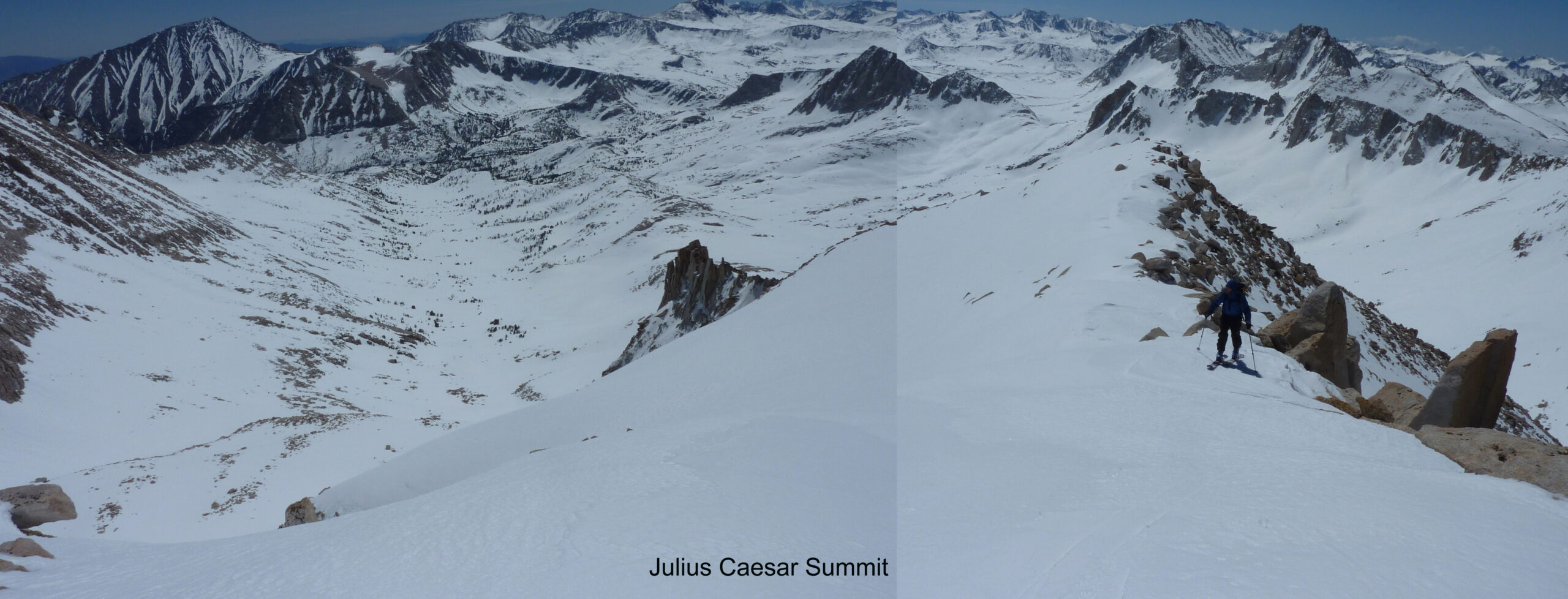
On the 2nd morning I thought we could ski something before going over BCS col and gliding out. I saw a way to potentially get up Julius Caesar from our location, and we found a way through some cliffs on the north side, which led to easier terrain on the west side. The summit gave us amazing views of course, especially back at Feather Peak and over to Mt. Hilgard. I don’t remember which way we skied off the peak. I think we went a different way than our north side climb. I have no pictures to help me remember. But we got our stuff and powered out a fairly boring schlog of a climb up to BCS col, where we got destroyed by wind again for a few minutes. We de-skinned and hi-tailed it out of there, pushing out the 10 miles or so to the car. The Little Lakes Valley is pretty flat. I don’t remember if we had to put skins on for the middle part. Probably not, but I have since gone back with kicker skins. Those are the ticket for miles of Valley travel.
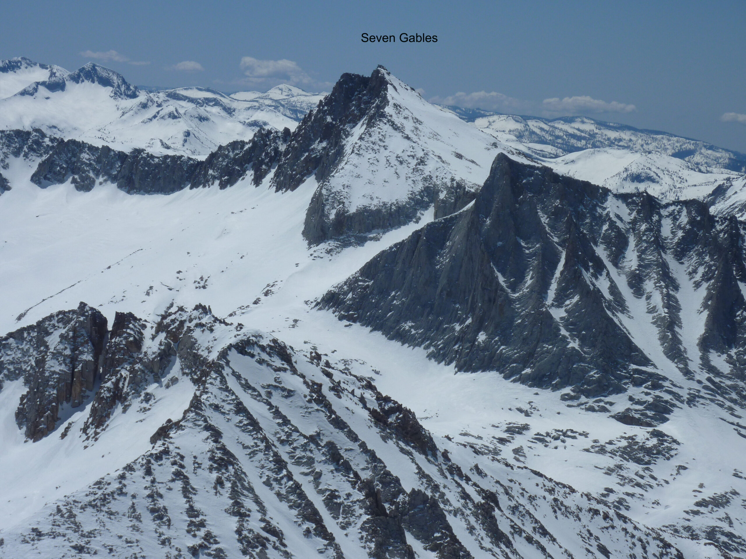
The other peaks I have skied in this zone were all on the east side of the Sierra Crest. The one other time I crossed BCS Col was the following year with Howie and Dave, when we skied Mt.Mills North Face. I just loaded a new post for that one. I’ve climbed the two aretes on Bear Creek Spire, but maybe I’ll go backpack over this col. I assume there Is no trail but it’s doable. I’ve skied Mt. Morgan, Pointless Peak, and Mt. Dade in this valley. I saw some NW chutes that could be skied from near the summit of Bear Creek Spire, but they were blasted hard by wind, and we ignored them on our tour.

Looking for awesome ski and splitboard tours in the Sierras? We’ve got write ups on many common and uncommon tours curated by the owner of the BackCountry, Mike Schwartz.


