Location: Palisades above Big Pine, CA
Elevation: 14,153′
Elevation Change: 5,900′
Recommended Map: kings Canyon High Country – Tom Harrison
Elevation: 14,153′
Elevation Change: 5,900′
Recommended Map: kings Canyon High Country – Tom Harrison
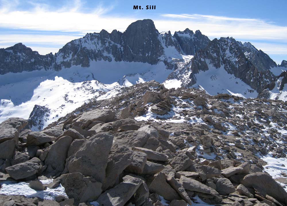
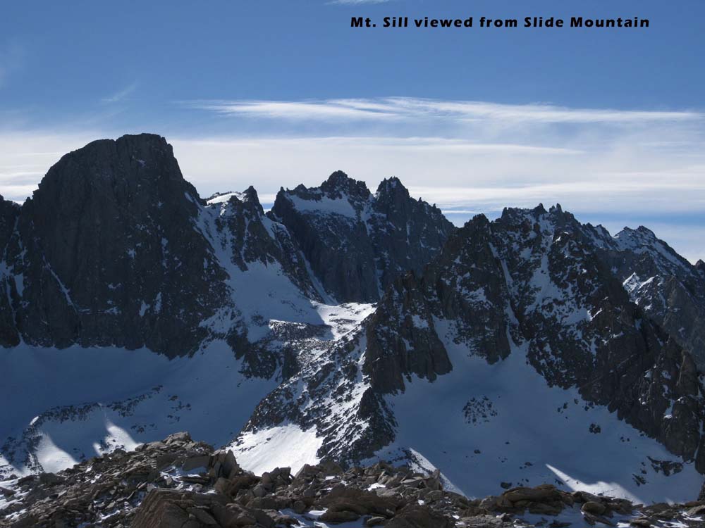
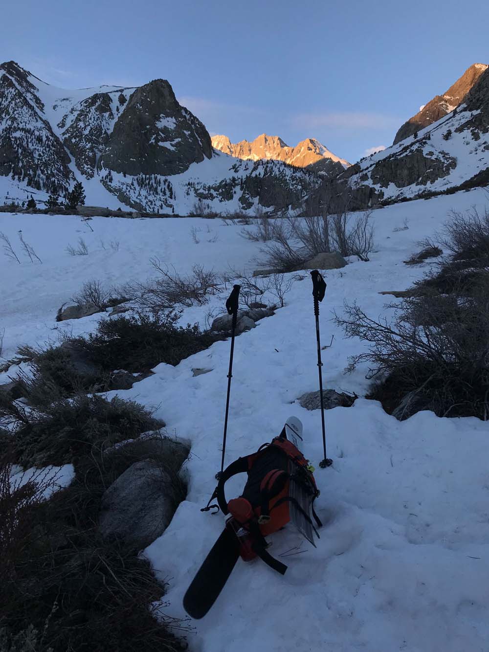
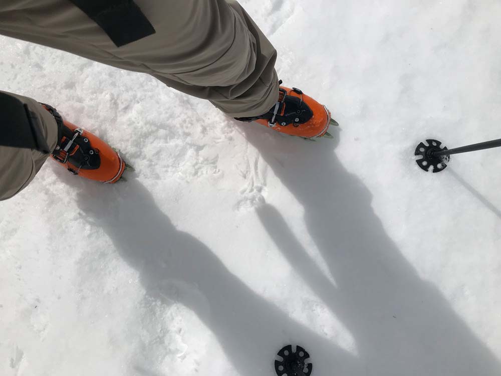
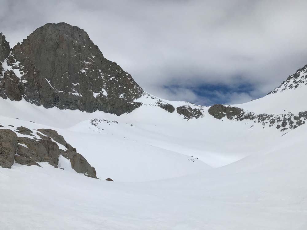
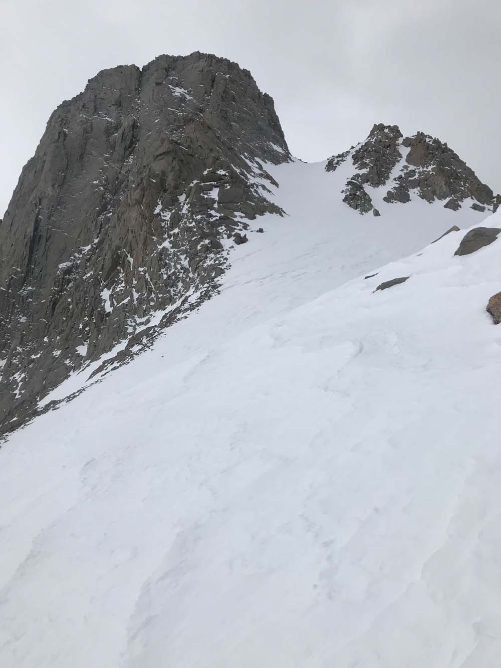
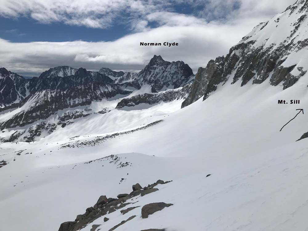
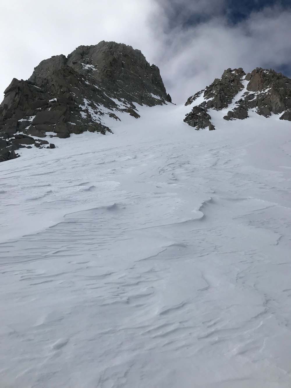
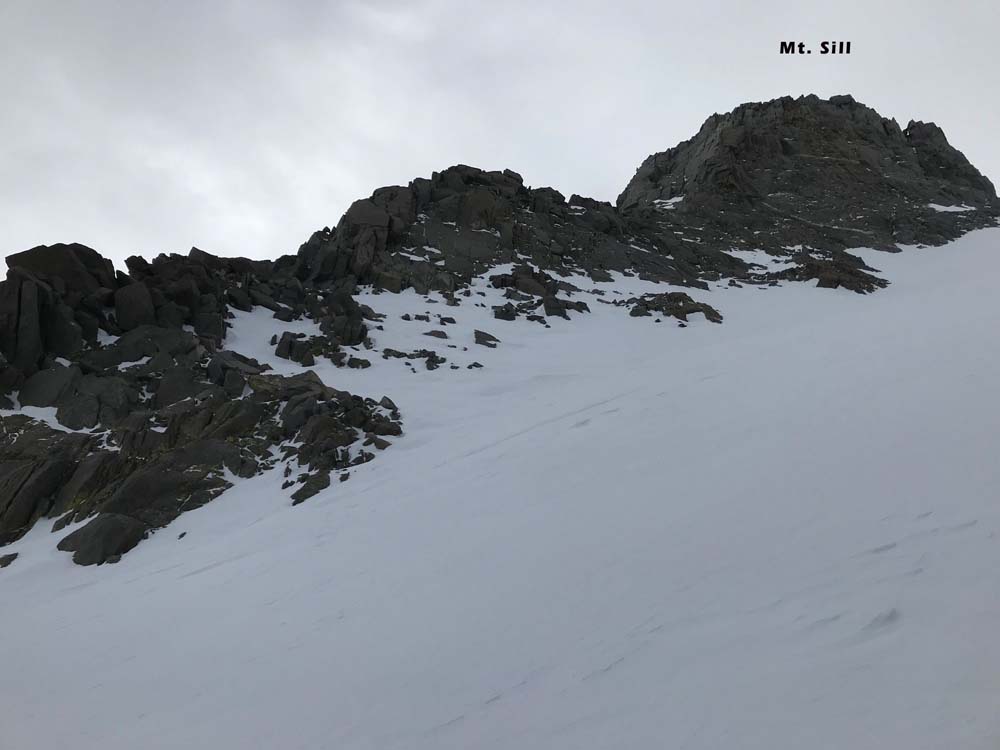
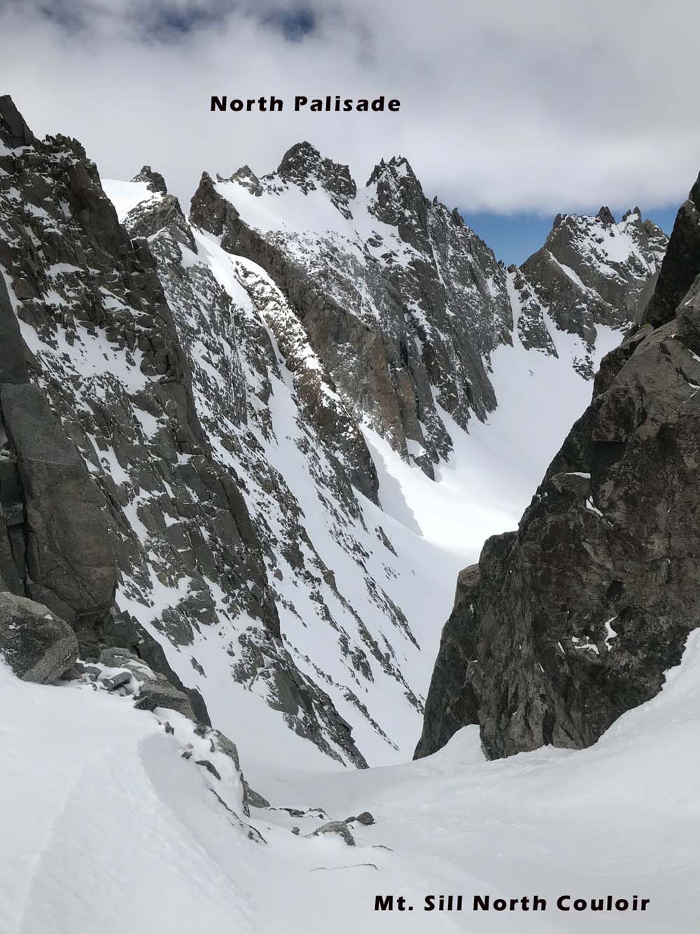
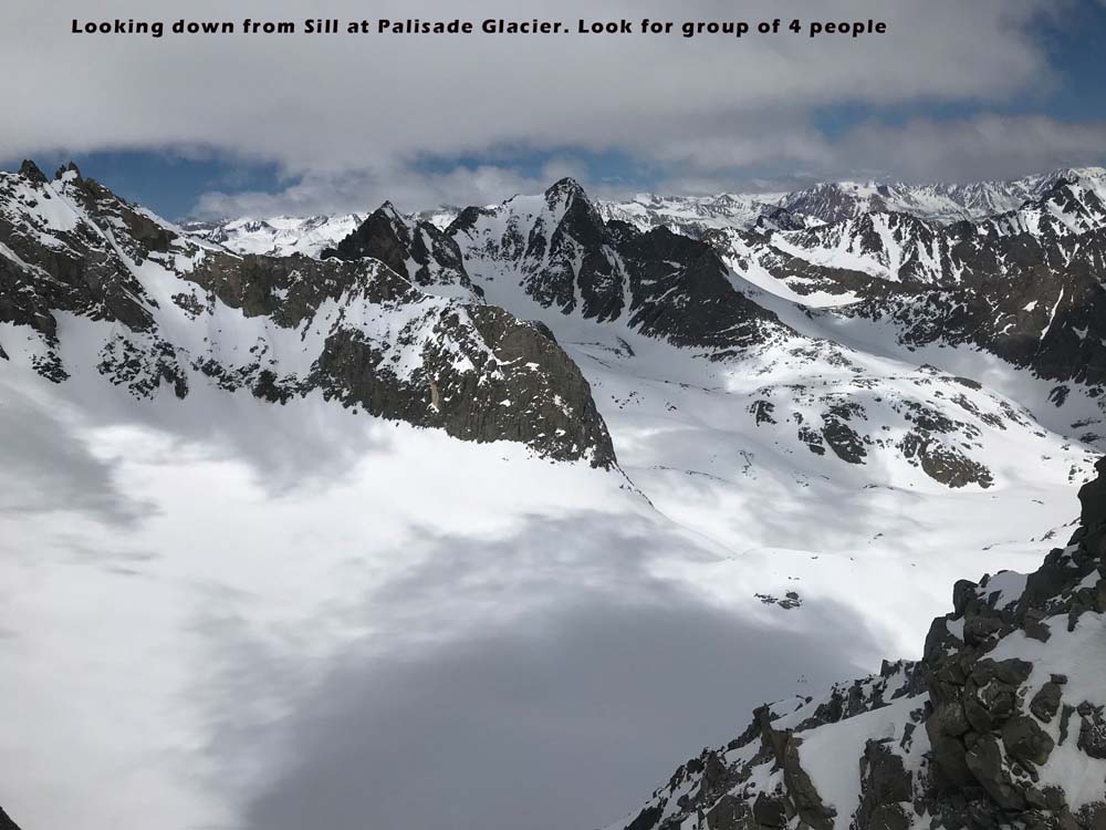
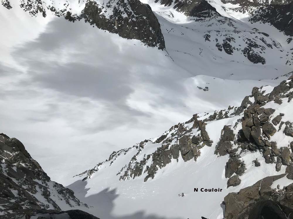
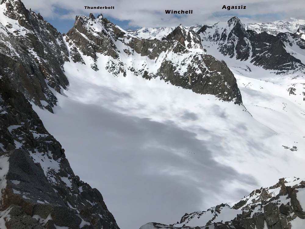
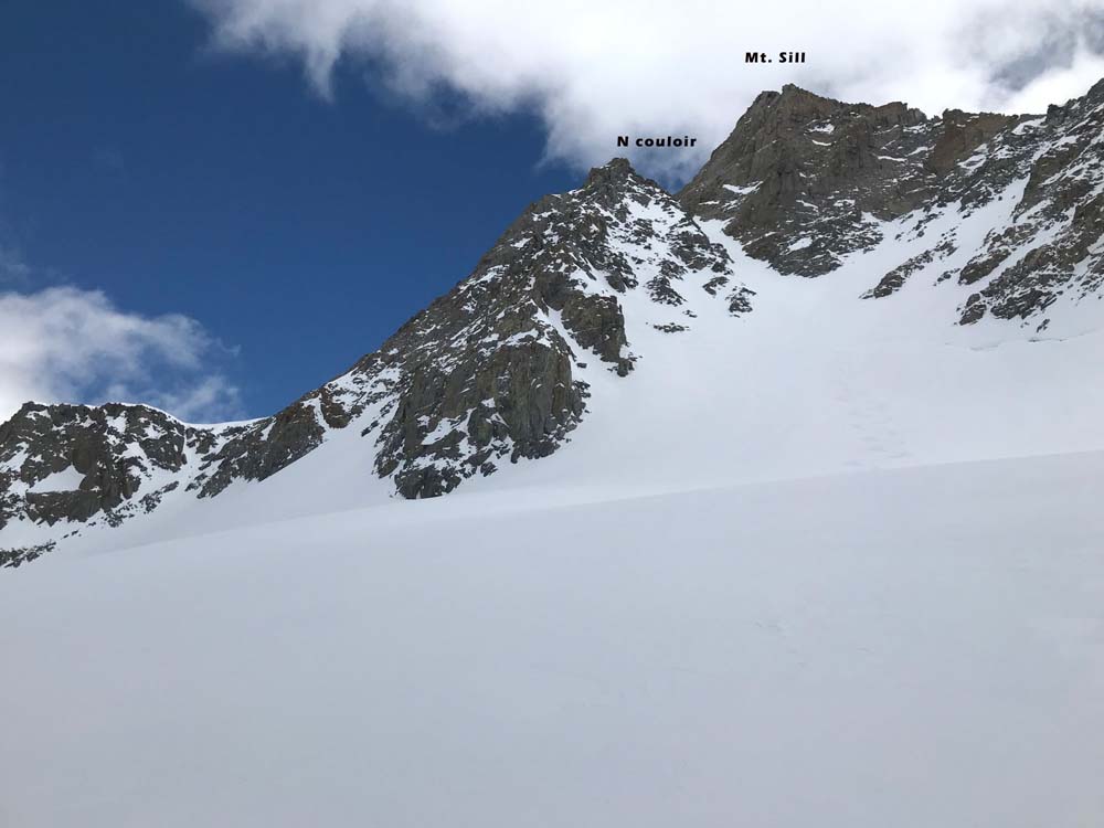
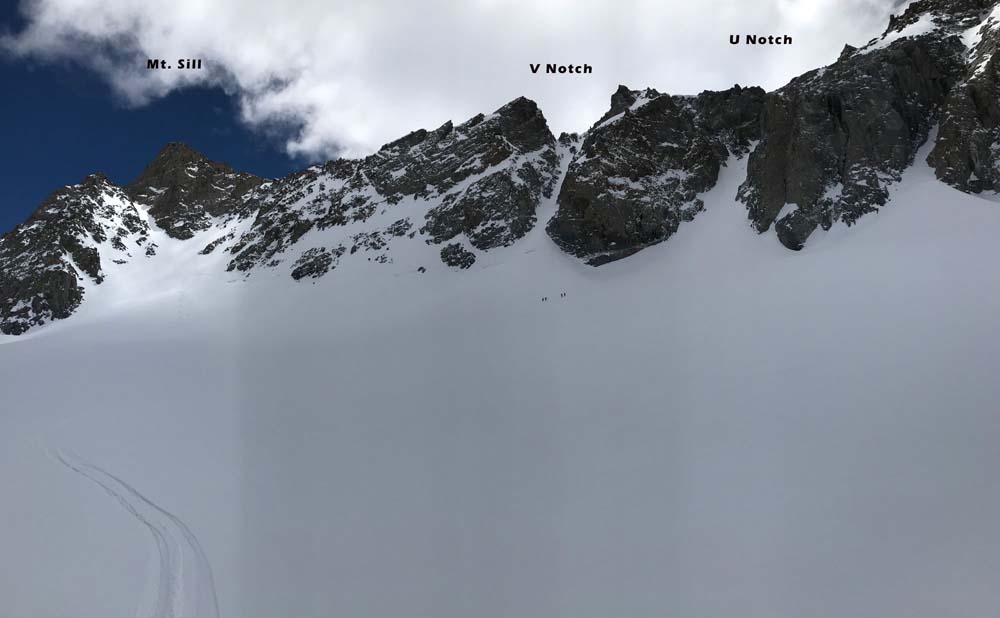
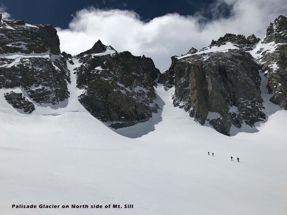
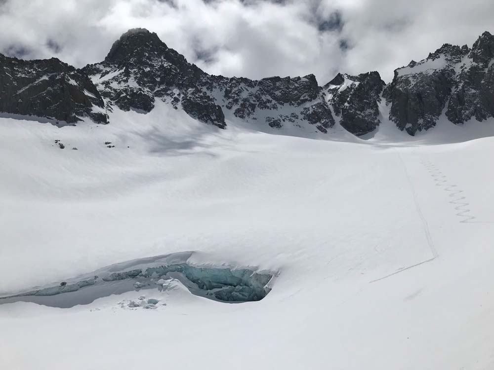
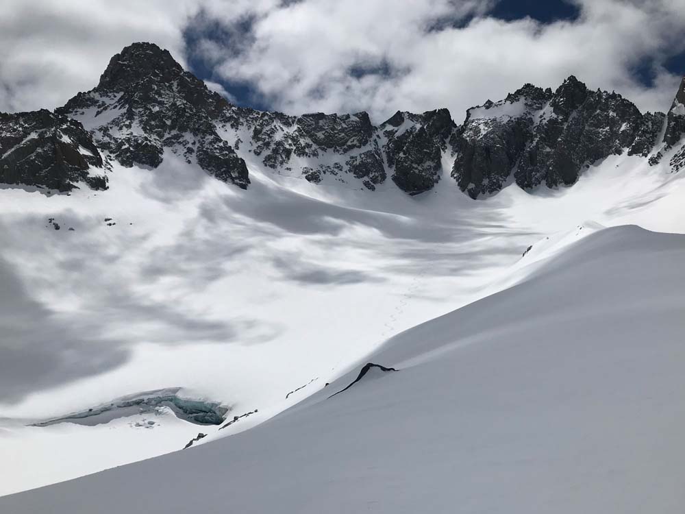
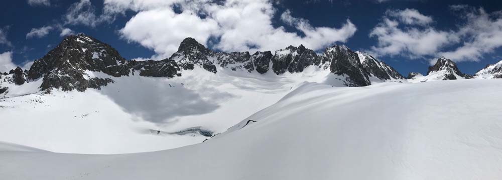
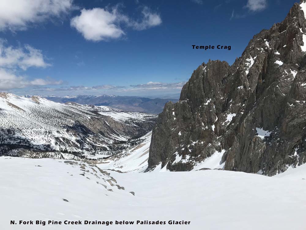
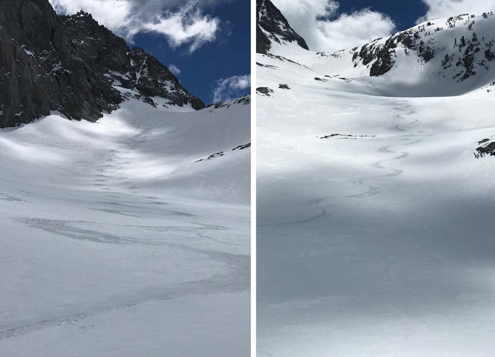
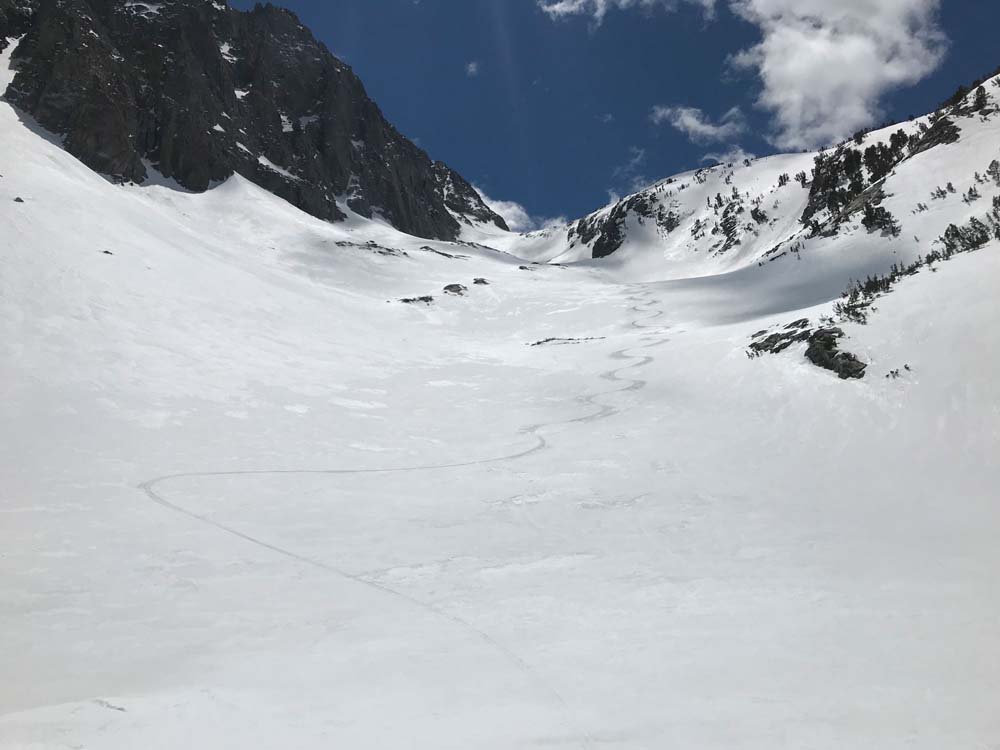
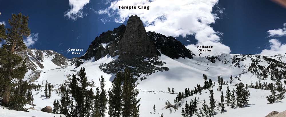
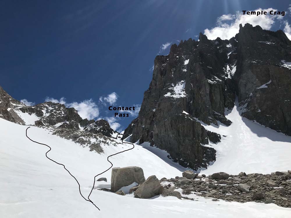
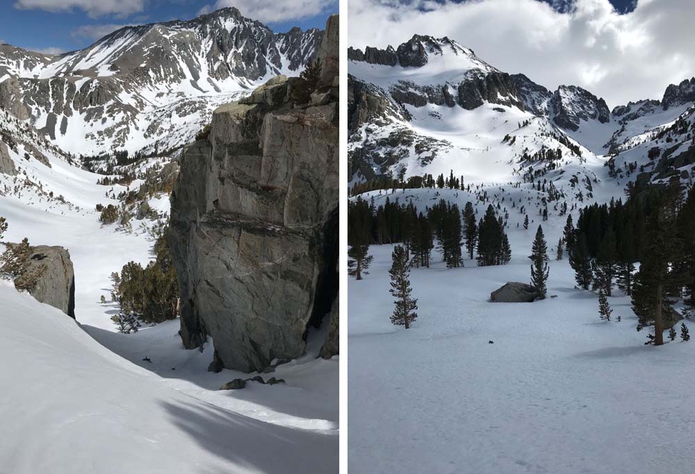
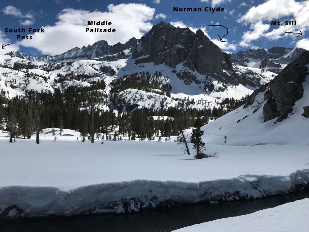
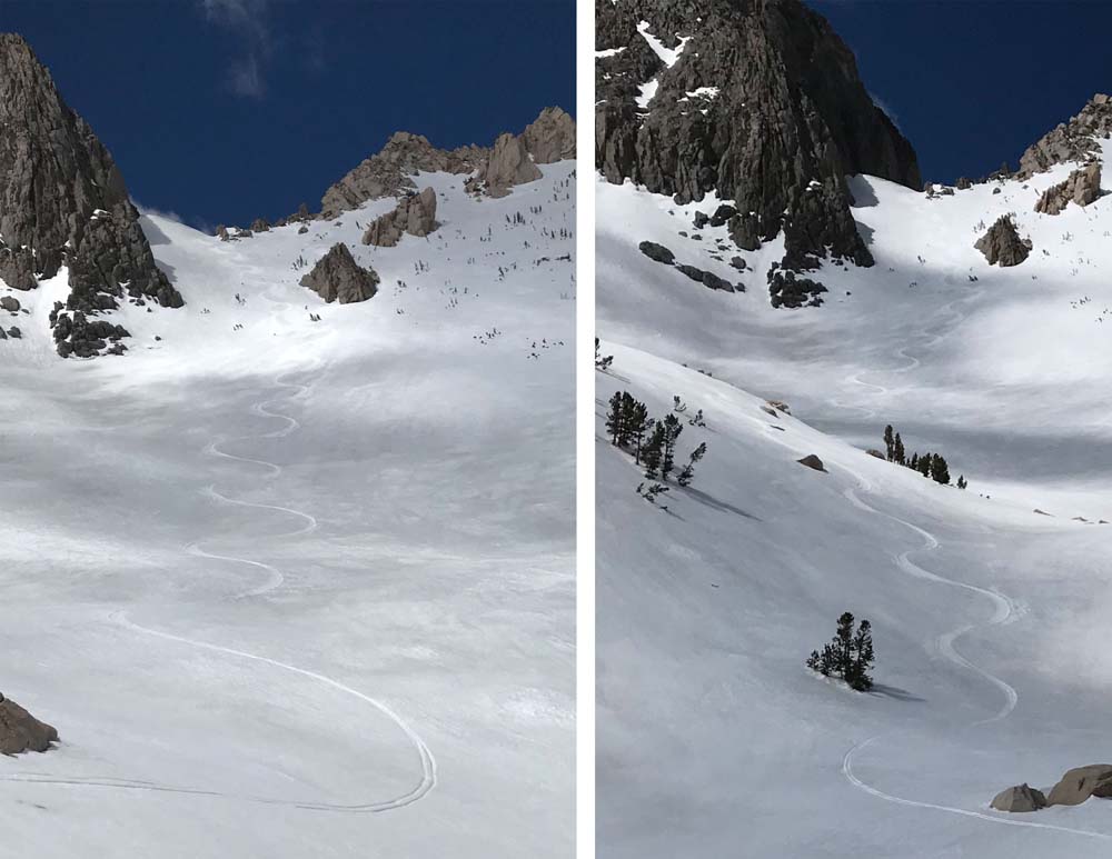
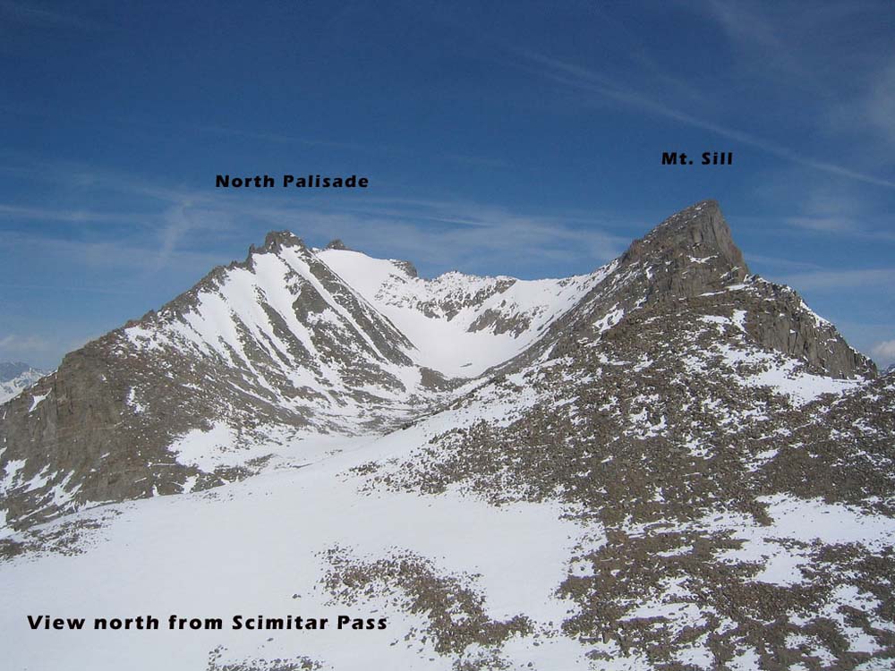
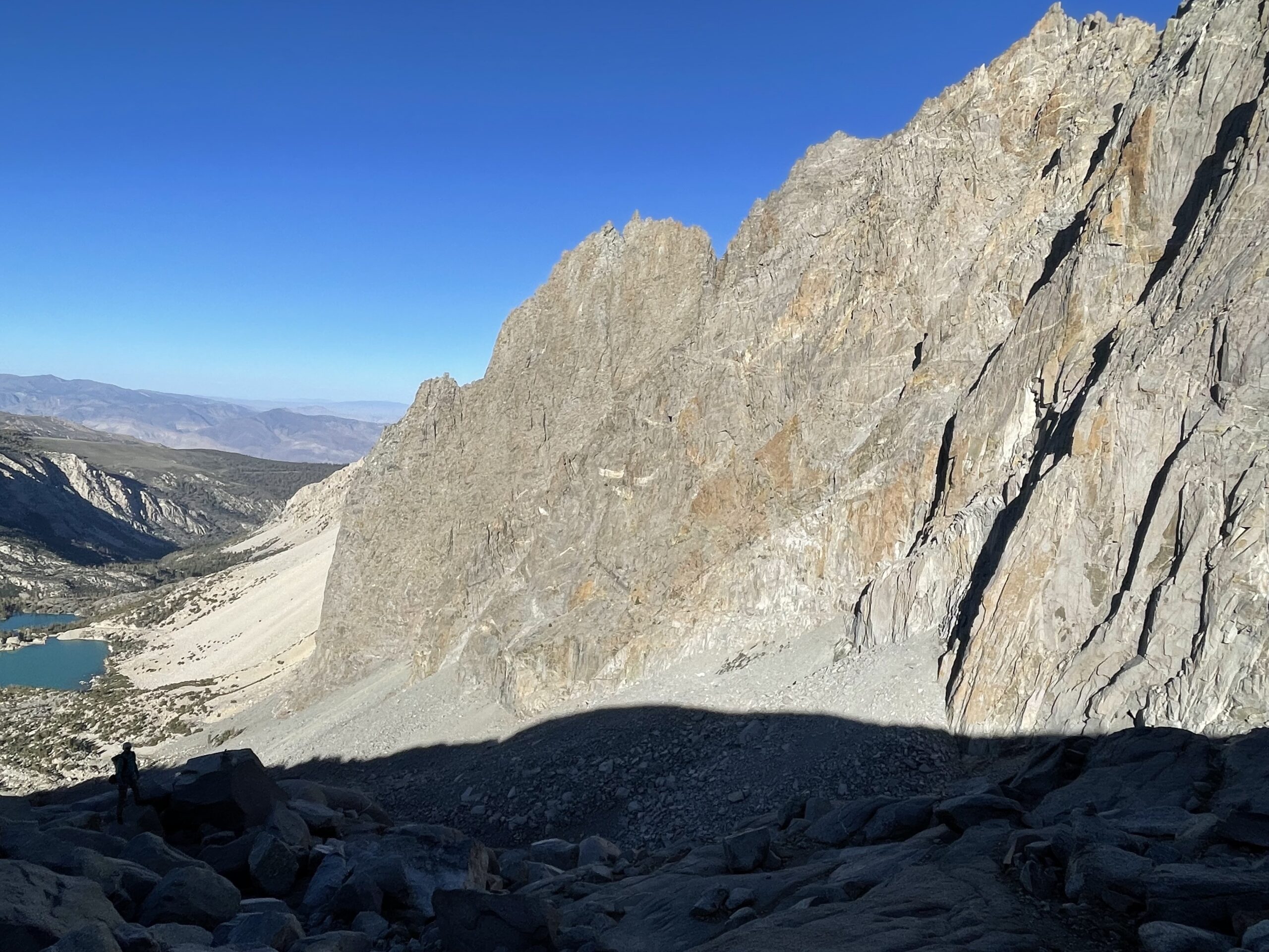
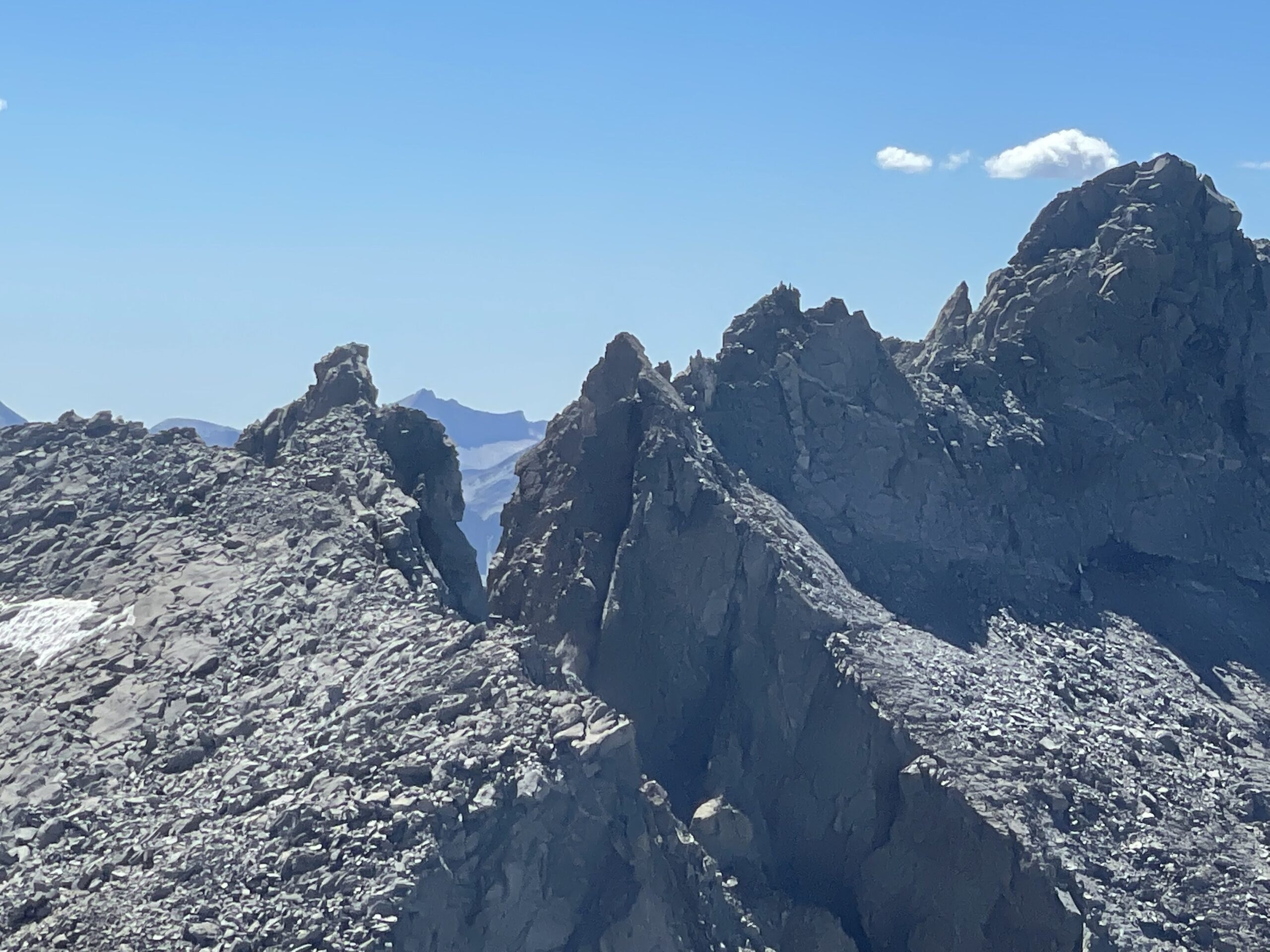
Mt. Sill is the BIG guy you see from hwy 395 in Big Pine, CA. This 14er sits proud in the center of the infamous Palisade Crest. Mt. Sill, Gayley, and Temple Crag form a long ridge that separates two long drainages that both join at your car. These pics are from 4-23-19 when I skied up the South Fork of Big Pine Creek to the top of the snow Mt. Sill offers, a few hundred feet below the summit. Climbing to the actual peak is too difficult in ski boots. If you are camping closer to the peak and climb the V Notch couloir on it’s north side, you can walk to the summit of Mt. Sill without any rock climbing experience. I skied down the North Couloir of Mt. Sill onto the Palisades Glacier, and out via the North fork of Big Pine Creek. This loop is a great adventure, or just go up and back using South or North Fork. Add another short ski descent while you’re up there if you can, as you never know when you’ll get back. The Sierra is a big place, and the Palisade region is worthy of an entire winter of exploration. And certainly a few days or a week.
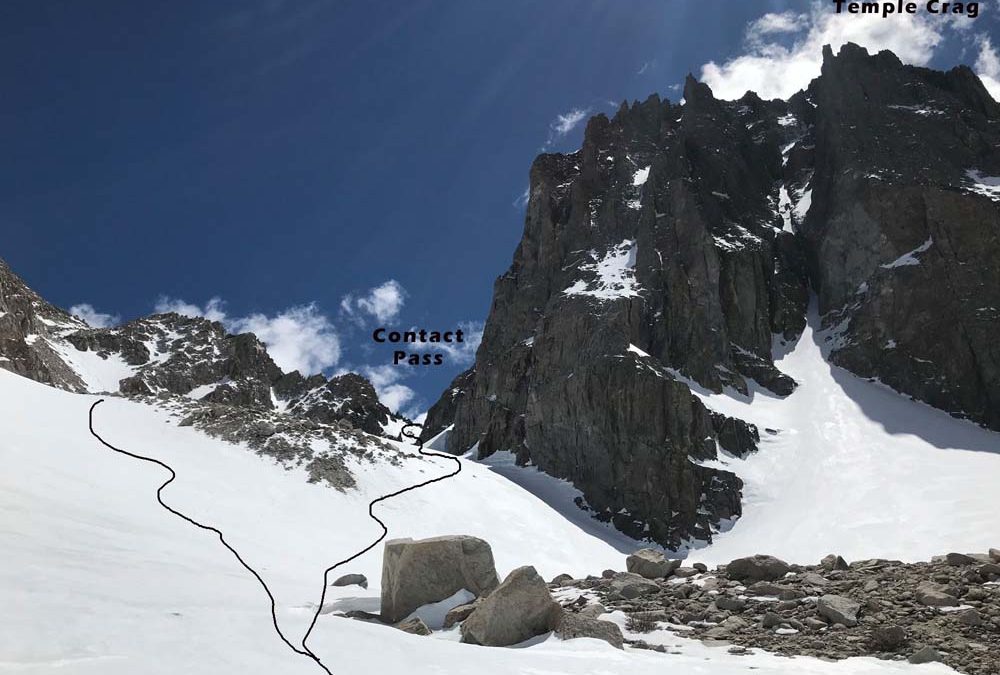
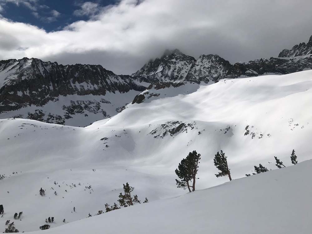
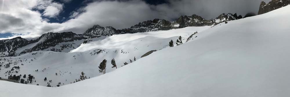
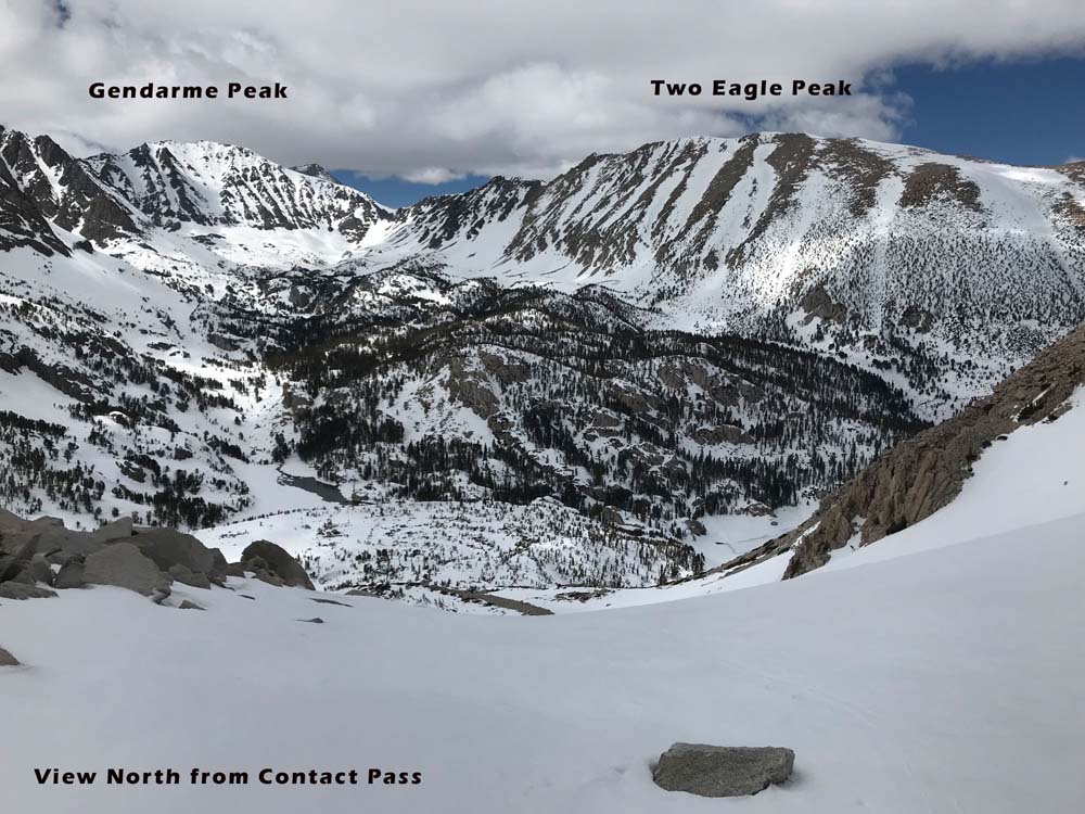
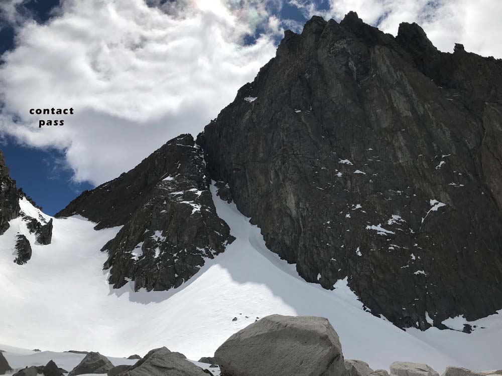
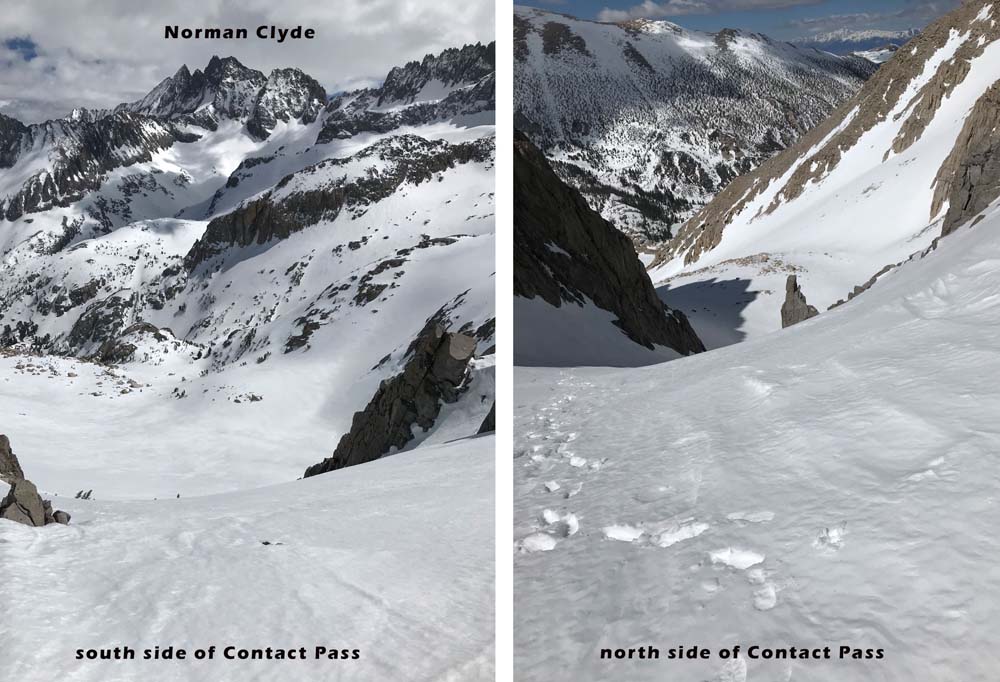
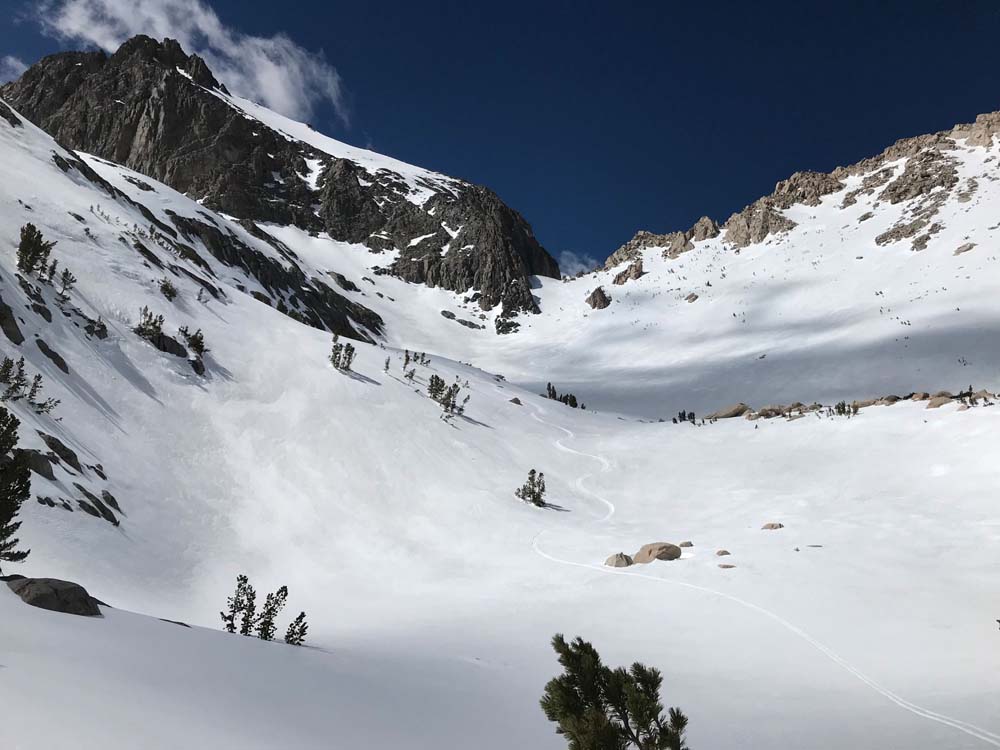
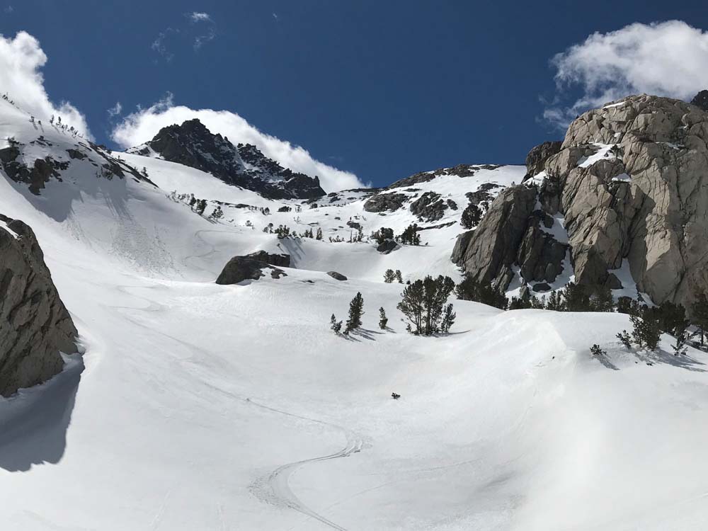
I have not heard of anyone being bothered by parking at the end of the road. There are open bathrooms and peaks to ski right above your car like Kid Mountain (north facing run) or Slide Mountain (south facing run). The next prize a little further is the Normal Clyde Couloir, not far from the Mt. Sil “L” couloir I climbed. If you go up to Mt. Sill via North Fork, you’ll be doing the North Couloir. This isn’t super long or steep, but the forever rolling 30 degree slopes down to 3rd lake are super ego boosting. On this day I went up South Fork intending to cross over Glacier Col into North Fork. I ended up going higher and just linking the obvious L Couloir (up) and North Couloir (down). On return down North fork I avoided the long low angle push home below 3rd lake and skinned up about an hour over Contact Pass, to re-enter South Fork of Big Pine Creek. This is basically wrapping around the base of Temple Crag on descent from the Palisade Glacier, and skinning uphill maybe 1000′ to the pass. This buys you a 3500′ descent and is totally worth it skiing over. The south side of Contact Pass offers really nice 30-35 degree slopes in-between small benches and helps make up for the fact that you didn’t summit ze mountane.
Mt. Sill

Looking for awesome ski and splitboard tours in the Sierras? We’ve got write ups on many common and uncommon tours curated by the owner of the BackCountry, Mike Schwartz.


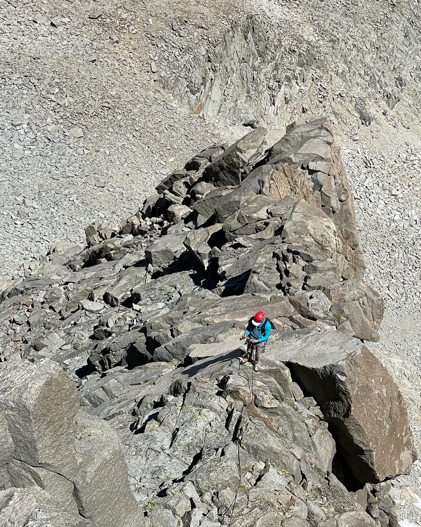

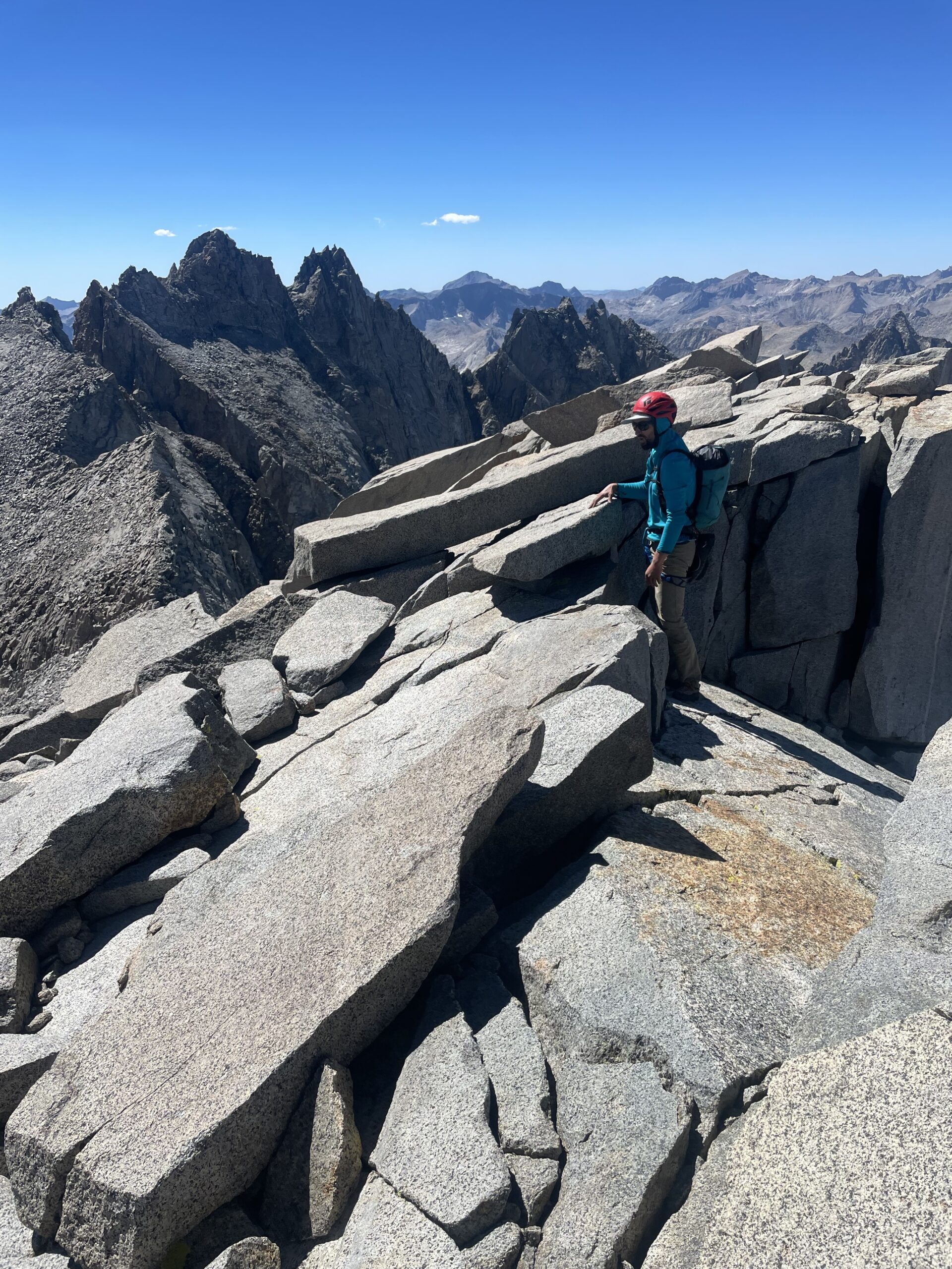


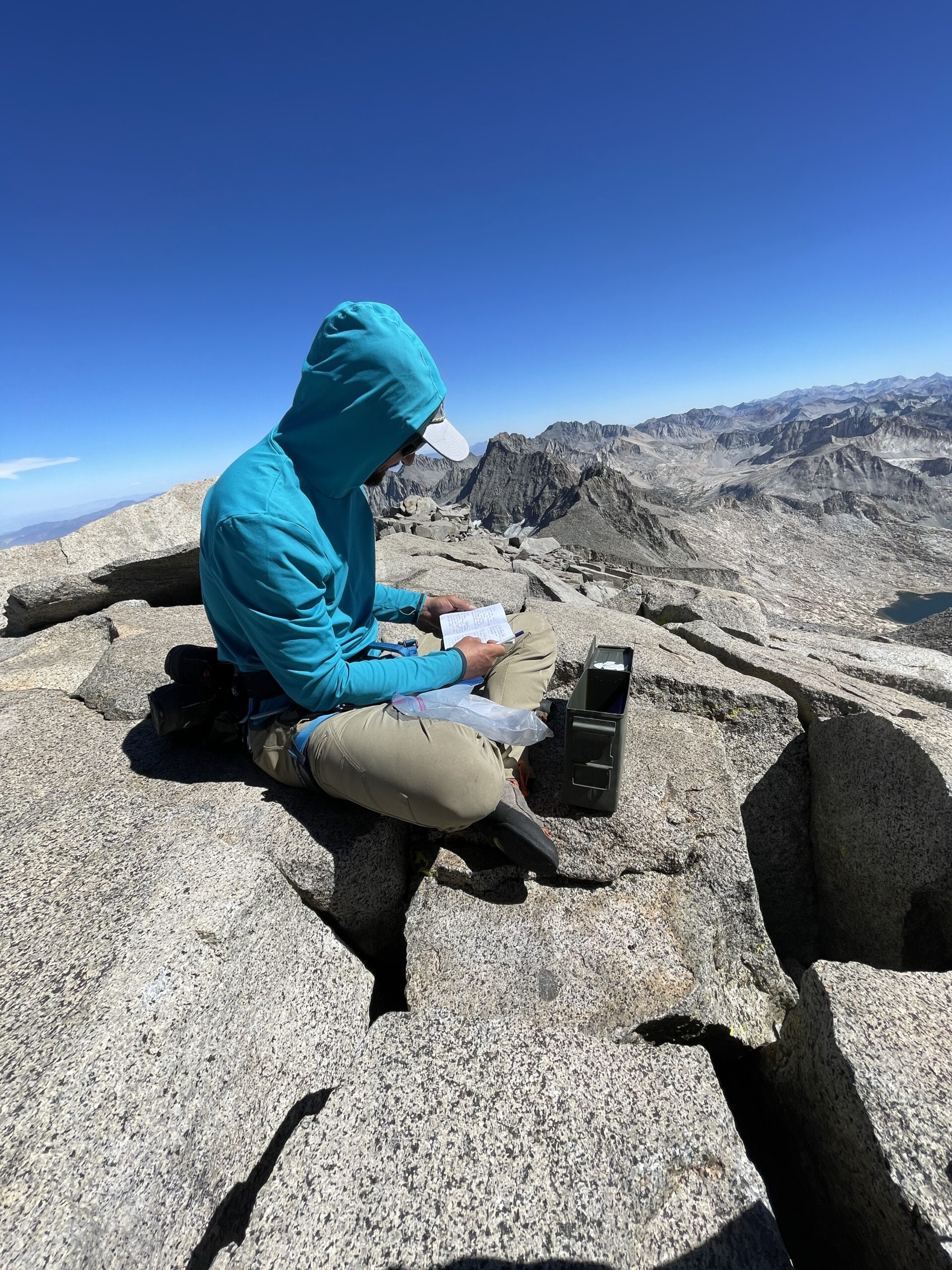


testing out our new reply with picture feature. This was an amazing day this summer. Danny and I climbed the Classic NE Arete of Mt. Sill with about 8 pitches of 5.6. The summit had the best views of any Sierra Peak I’ve been on. When I skied the north Couloir, I didn’t get to the summit due to ski boots and being solo. now I can see it may have been possible at 4th class…but the snow cover and hardness will vary. it would be sketchy for sure without a rope due to big exposure above the north face.