
Location: Lone Pine, CA
Summit Elevation: 14,494
Base Elevation: 8,340
Elevation Change: 6,154
Recommended Map: Mt. Whitney High Country – Tom Harrison
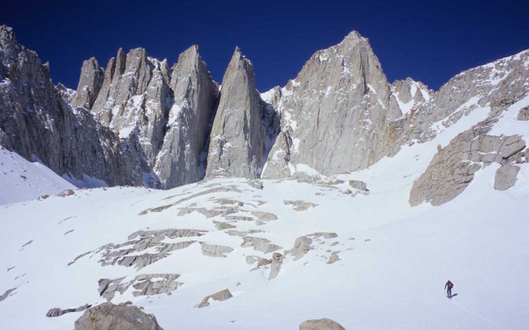
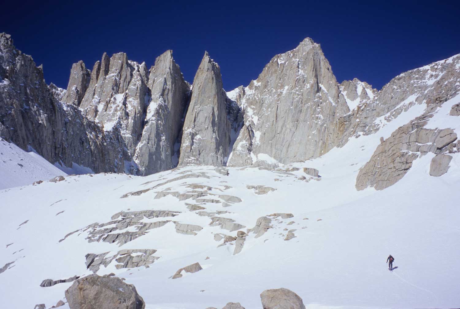
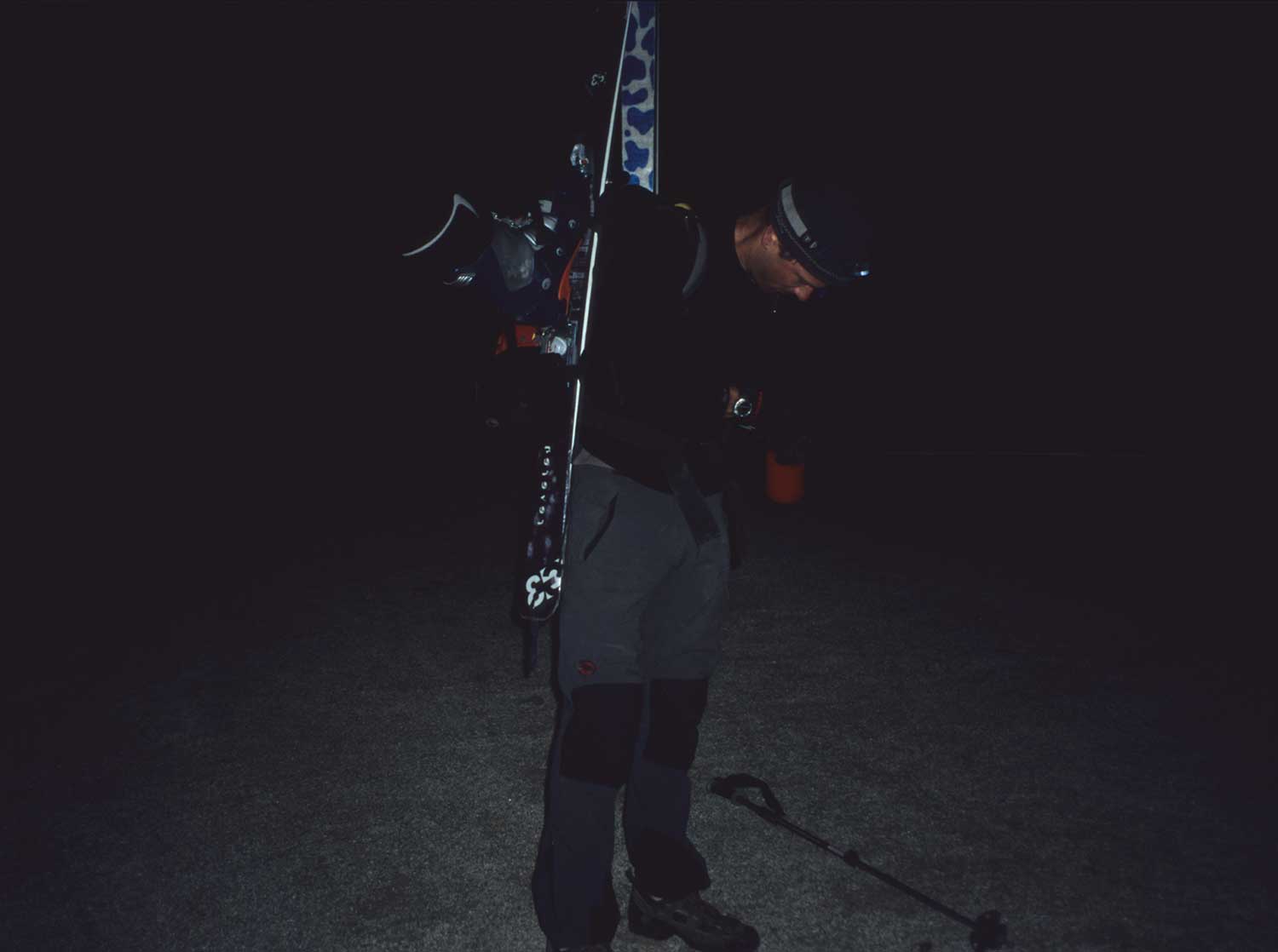
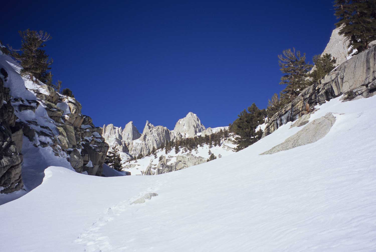
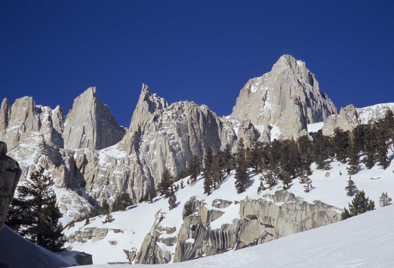
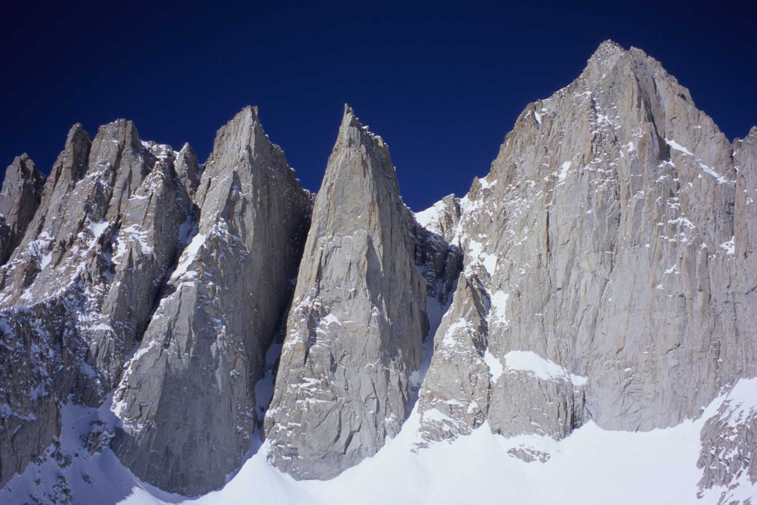
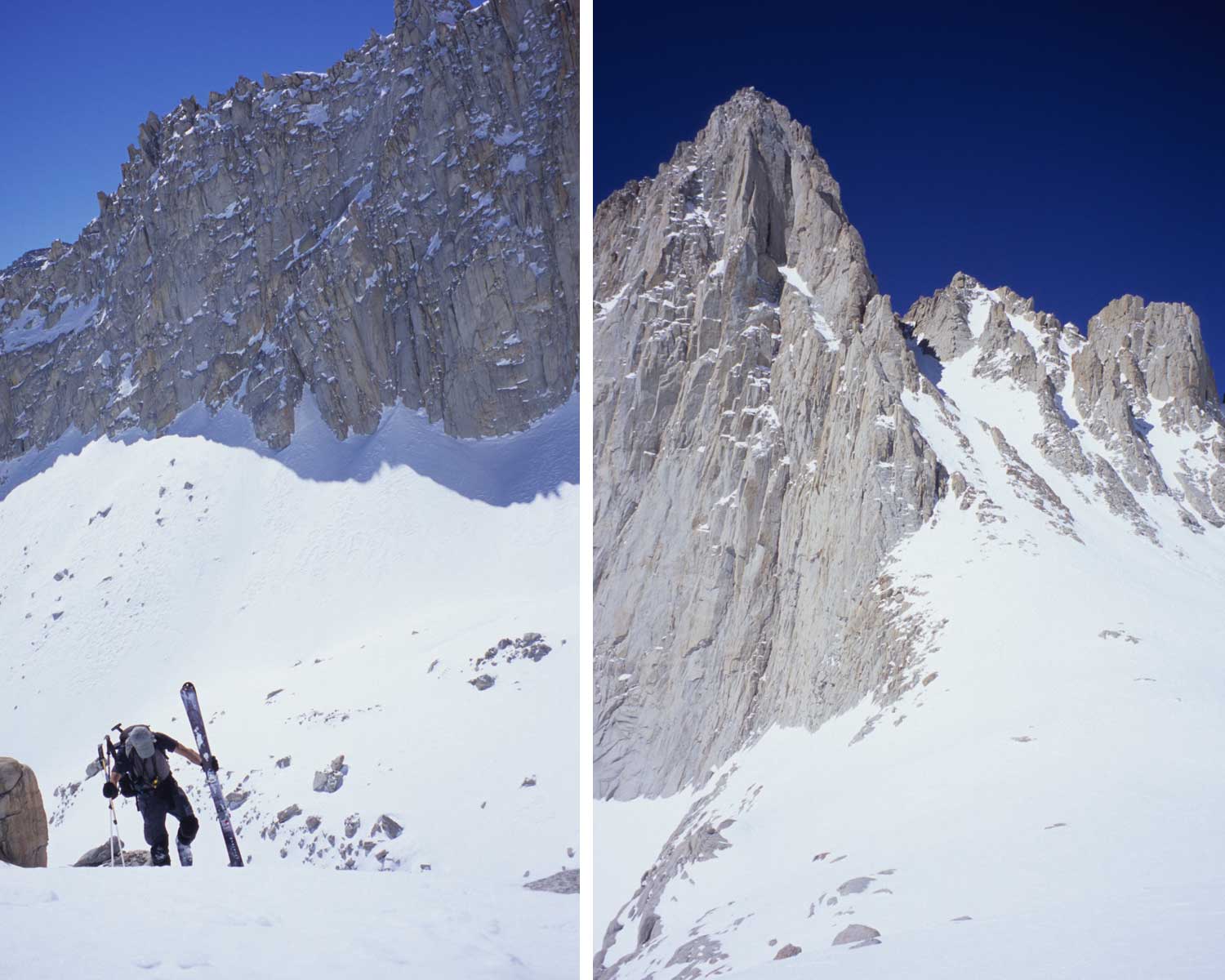
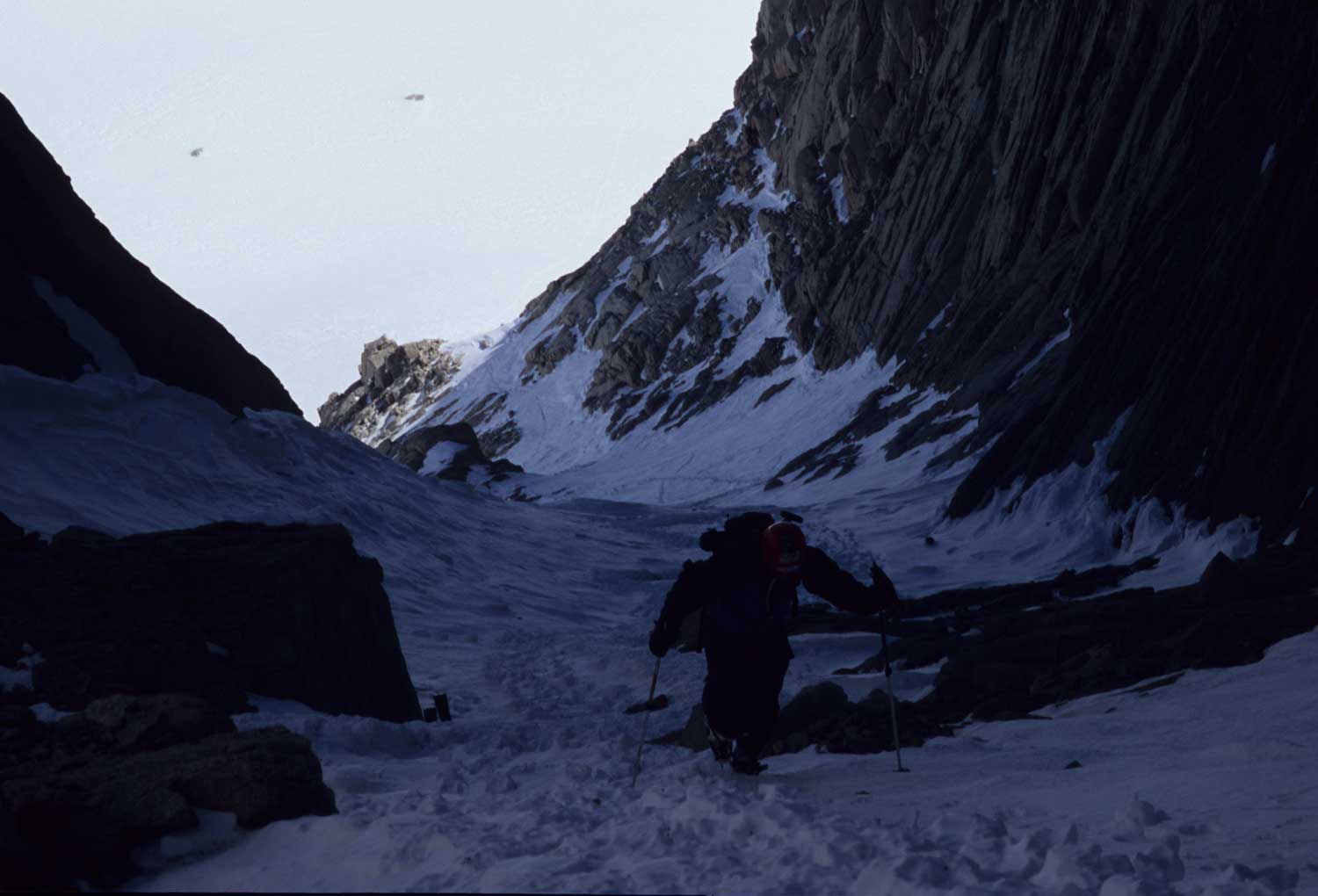
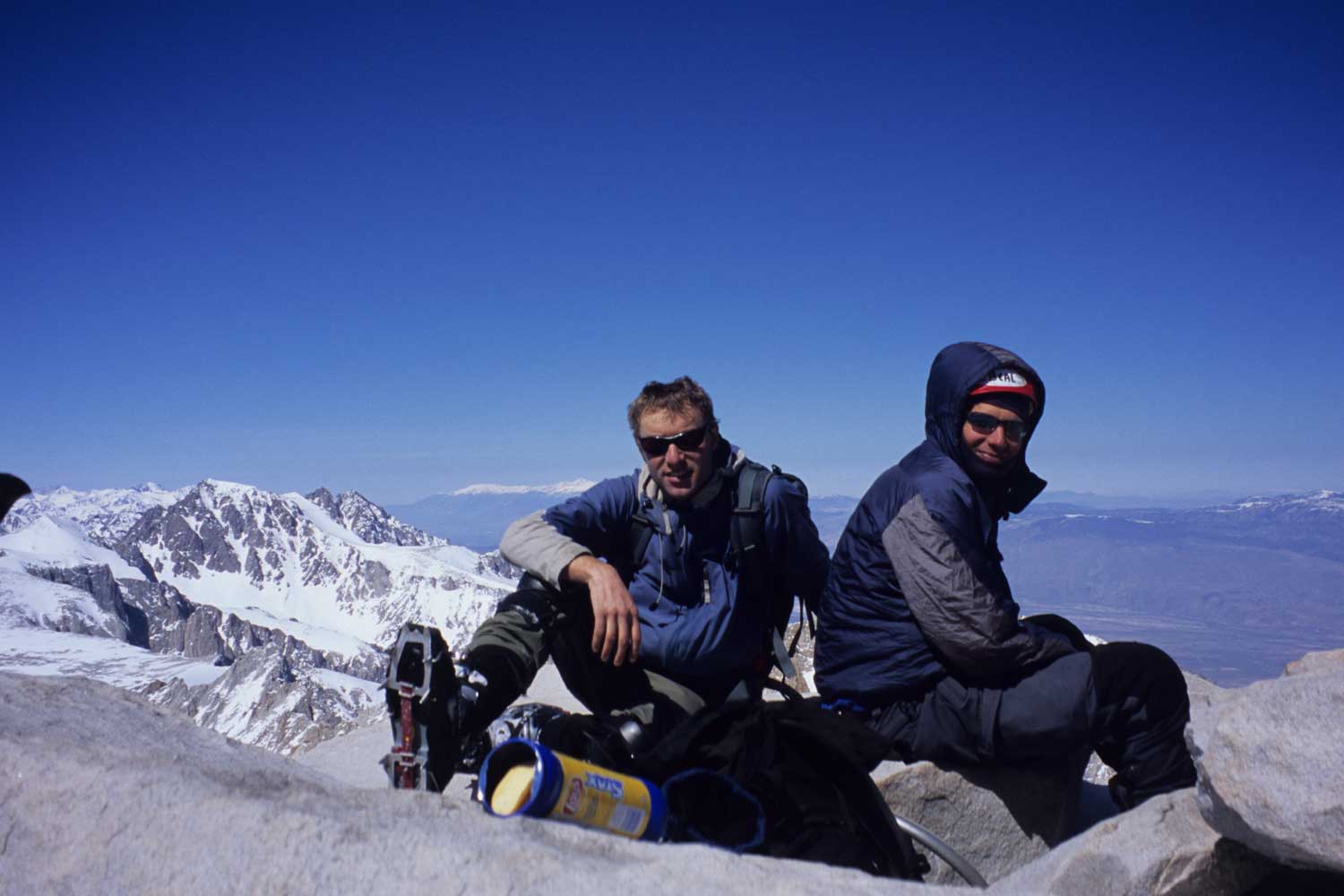
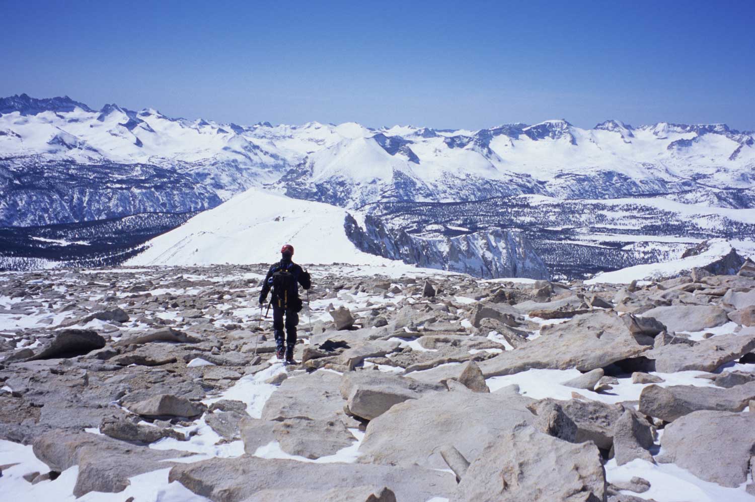
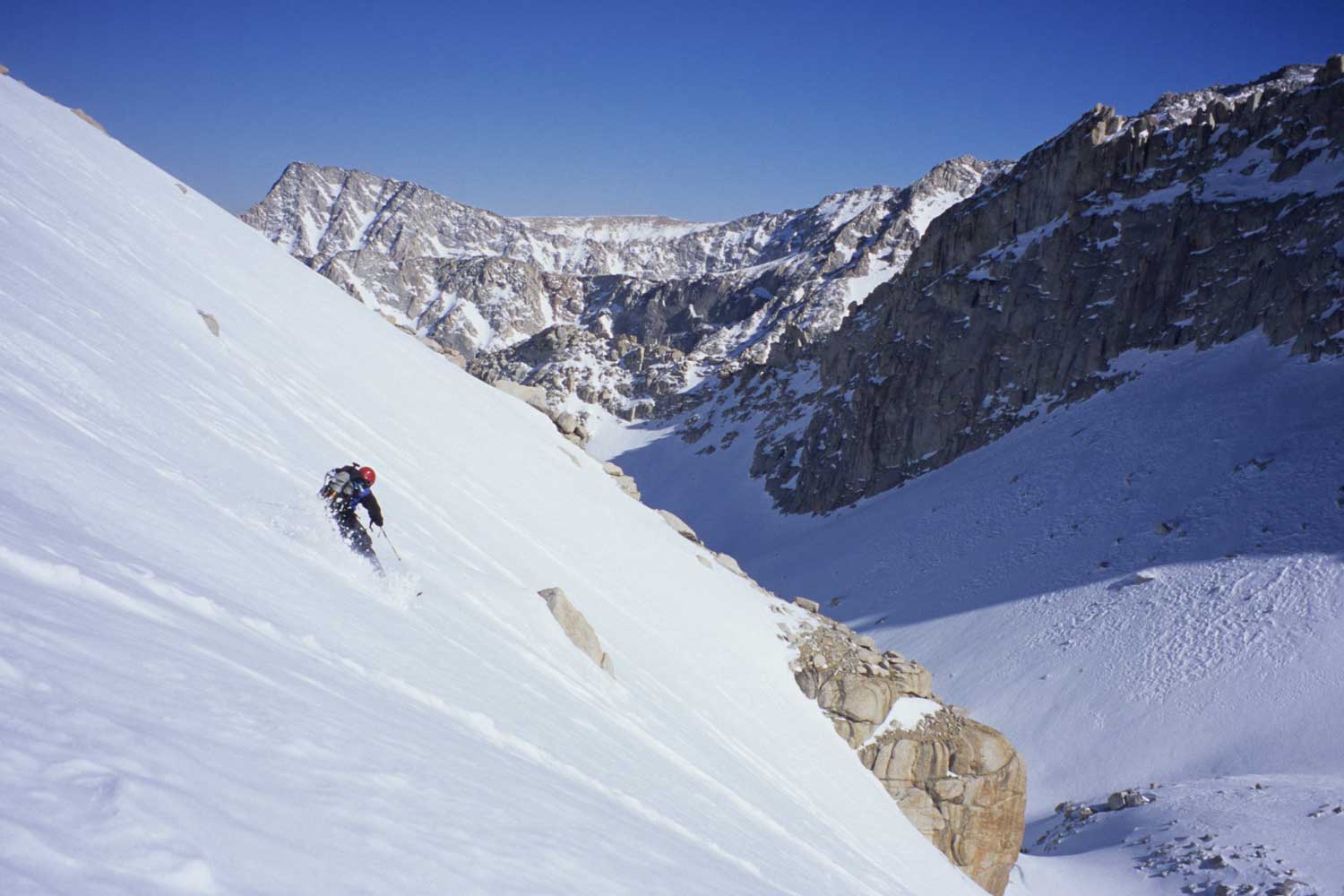
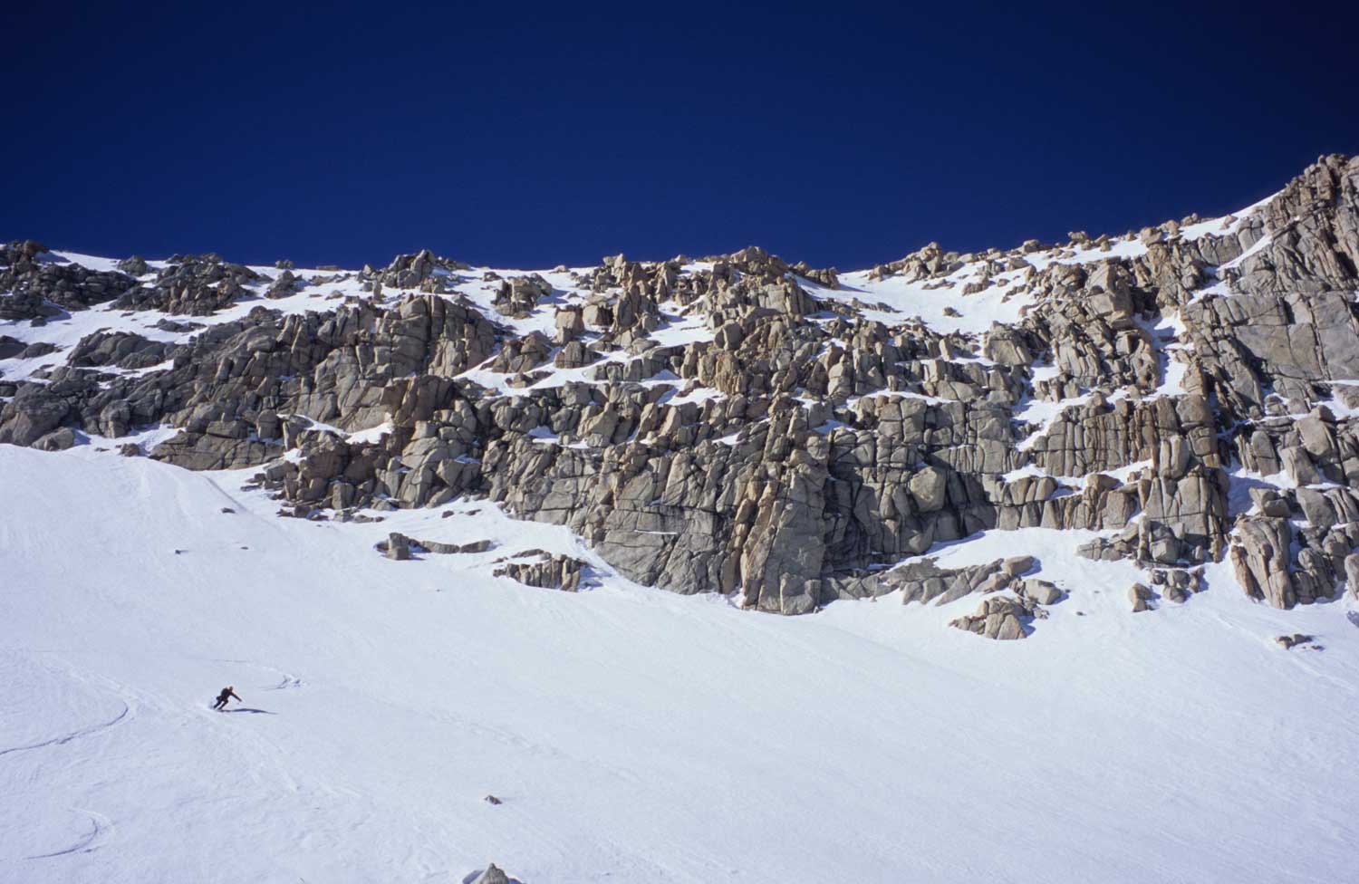
These pictures are from March in 2005, which was my first and only time Skiing the Mountaineers Gully on Mt. Whitney with Barry. We had bad intel that you don’t ski above the gully, so we left our skis and walked to the top. This was probably a good call anyway because the terrain is really steep and firm above there anyway. If you get soft snow, go for it if you know how to judge what your looking at in terms of ski conditions and slope angle. The Mountaineers Gully isn’t too steep, maybe 35 degrees and a hair more at the top. I have never seen a picture showing skiers getting good snow here, and it’s usually full of boot holes from constant mountaineer climbers. We still loved the late winter climb to the top, and I intend to go back for better snow hopefully soon. In March the road was not open to the trailhead, and we started walking from 4 miles back at maybe 5:30 am.
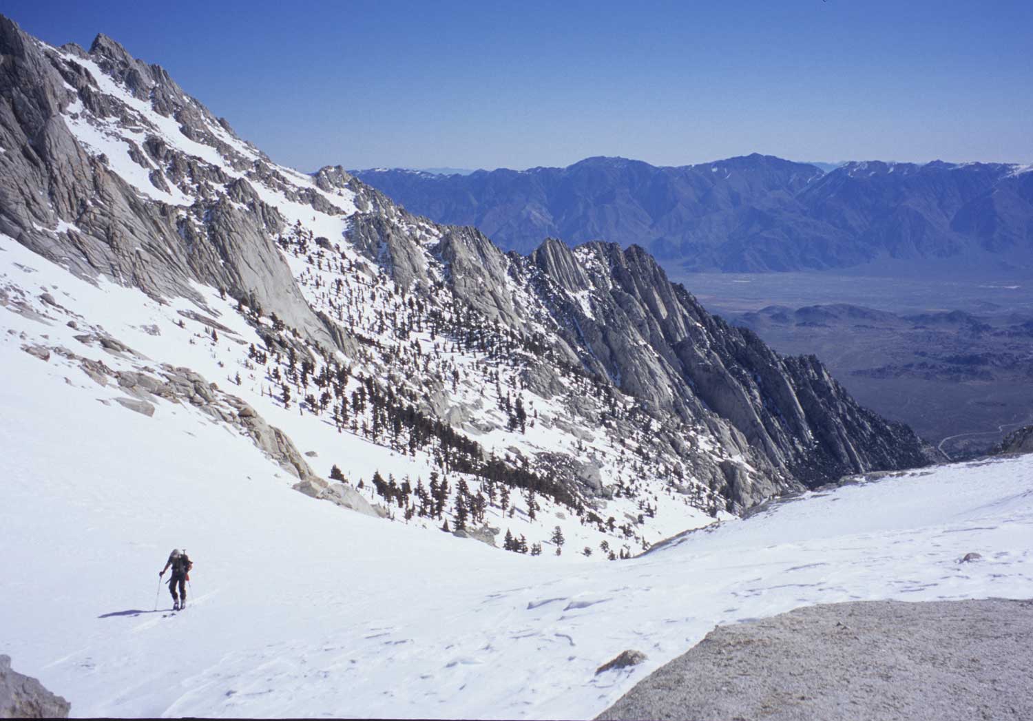
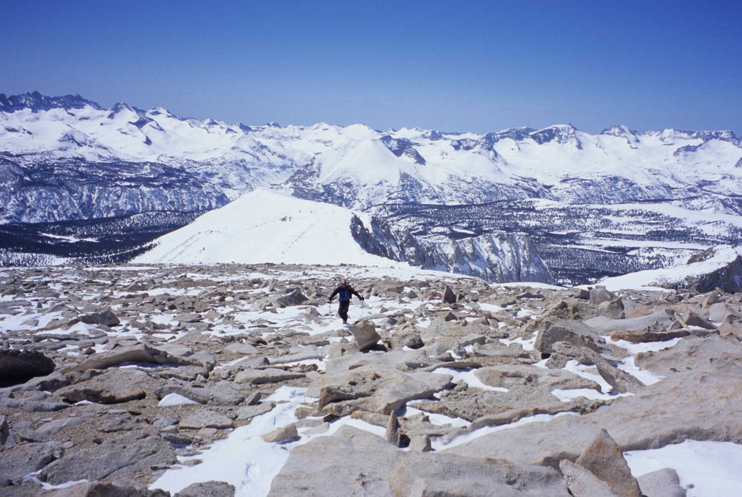
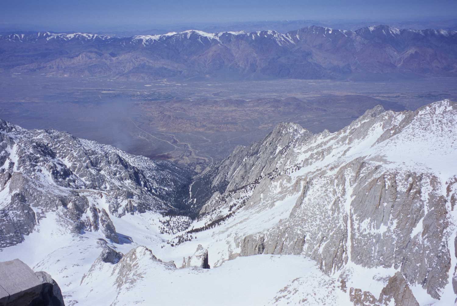
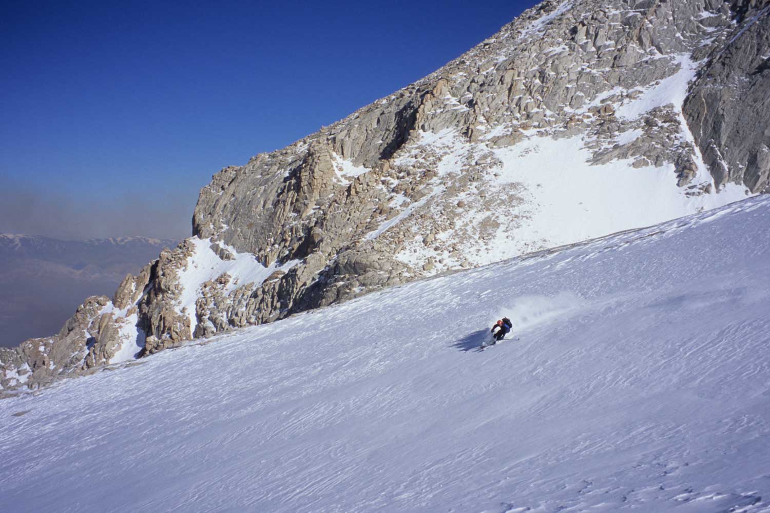
Being the Highest Peak and a 6000′ Ski Descent among the most beautiful 1-2000′ towering granite walls, you need to go do this ski tour even if you only make it to the terrain at Iceberg Lakes. I’ve climbed Mt. Whitney a number of times both by trail and rock routes. You come back feeling strong, and you’ll probably have the place to yourself with just one or two other parties max while skiing in the North Fork or South Fork drainages of the peak. The Mountaineers Gully requires you climb the mountain using the North Fork Drainage, so don’t miss that turn in the dark early in the morning! I don’t have info on skiing in the South Fork Drainage or up to Trail crest yet. Please post your pics on this forum!
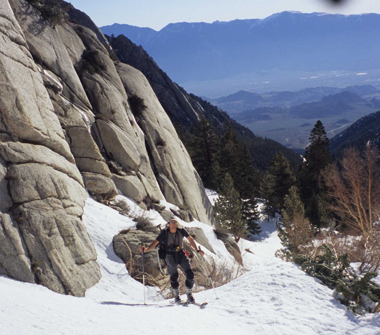
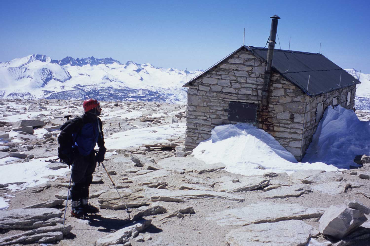
We skied the peak in one day from the car, but I wouldn’t mind camping up there at Iceberg Lake to explore the north side and some nearby skiing on Mt. Russell or other peaks in this zone. By the time the road is open to the actual trailhead at 8340′, you will probably be walking a little on the dirt near the car, but certainly have tons of snow to ski for a month or two up there. It sure was easier to ski towards the peak directly from the trailhead in March, compared to walking up the trail in the summer.
Mt. Whitney

Looking for awesome ski and splitboard tours in the Sierras? We’ve got write ups on many common and uncommon tours curated by the owner of the BackCountry, Mike Schwartz.


