
Location: Pyramid Lake
Summit Elevation: 12,001′
Elevation Change: 3500′
Recommended Map: Hoover Wilderness by Tom Harrison
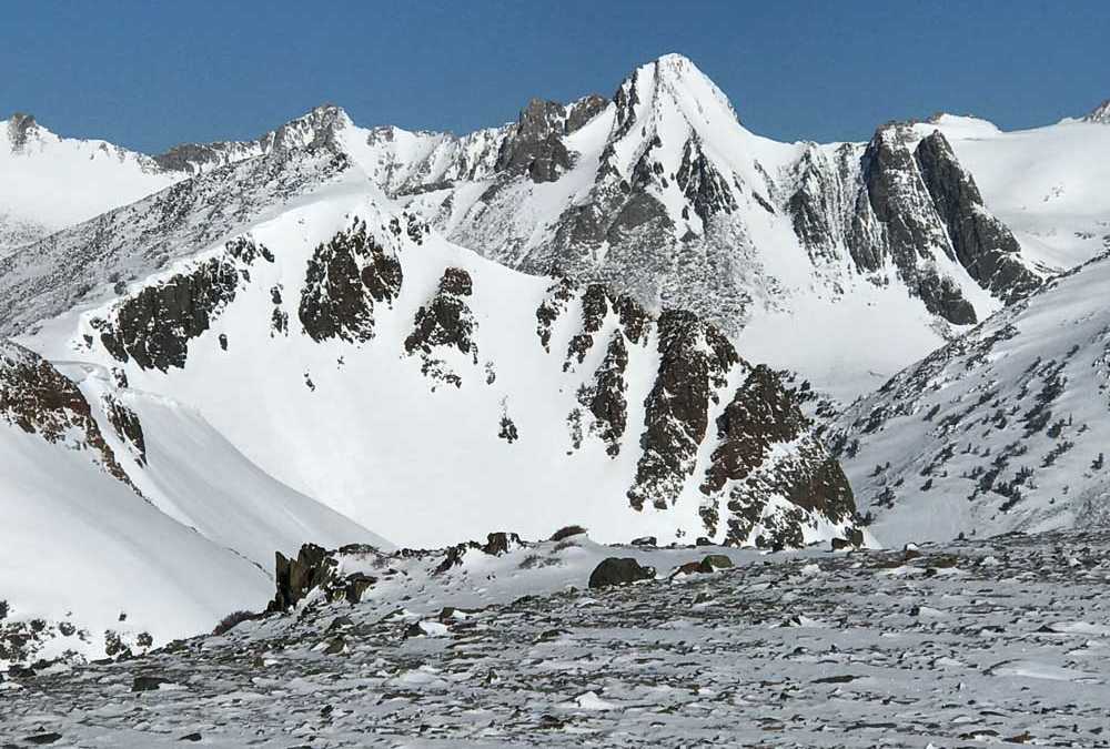
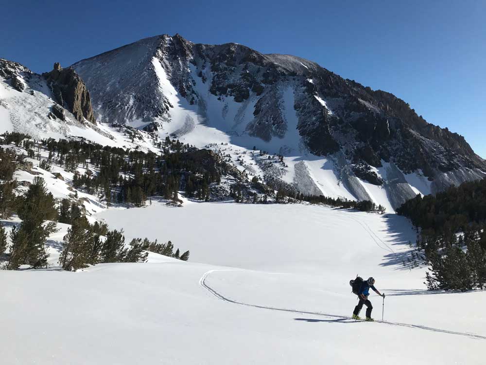
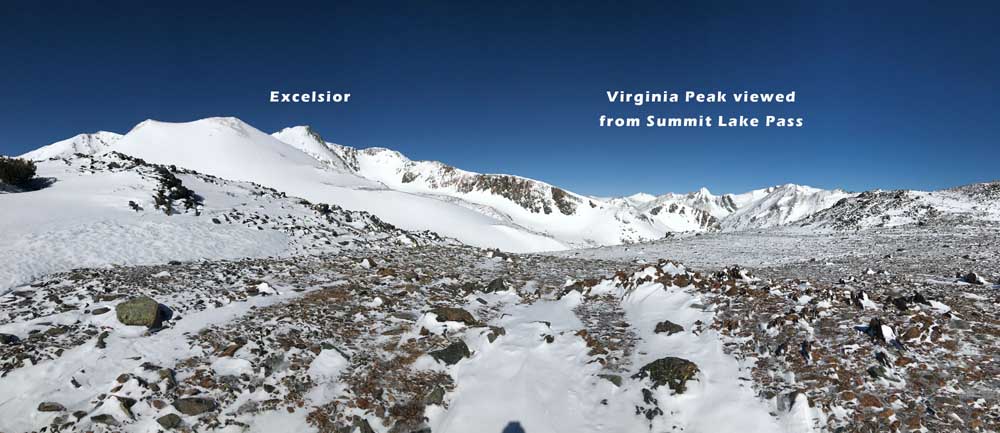
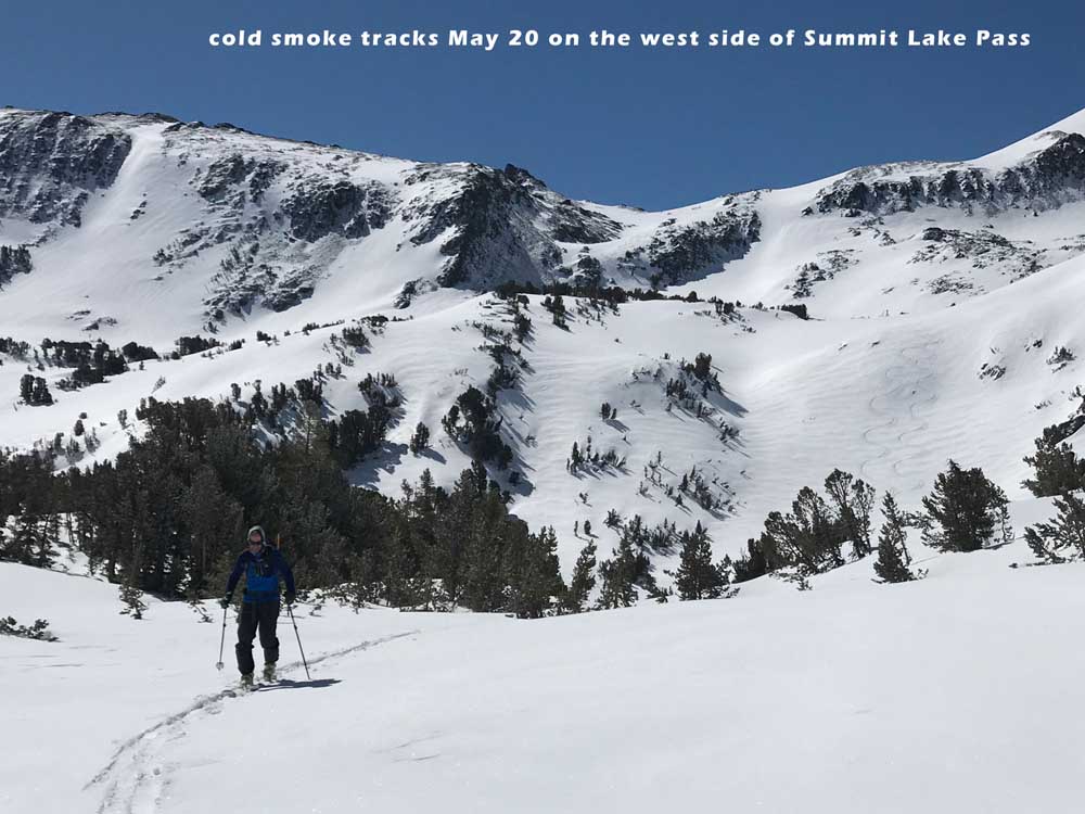
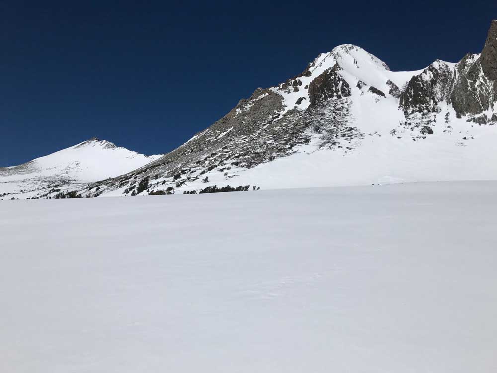
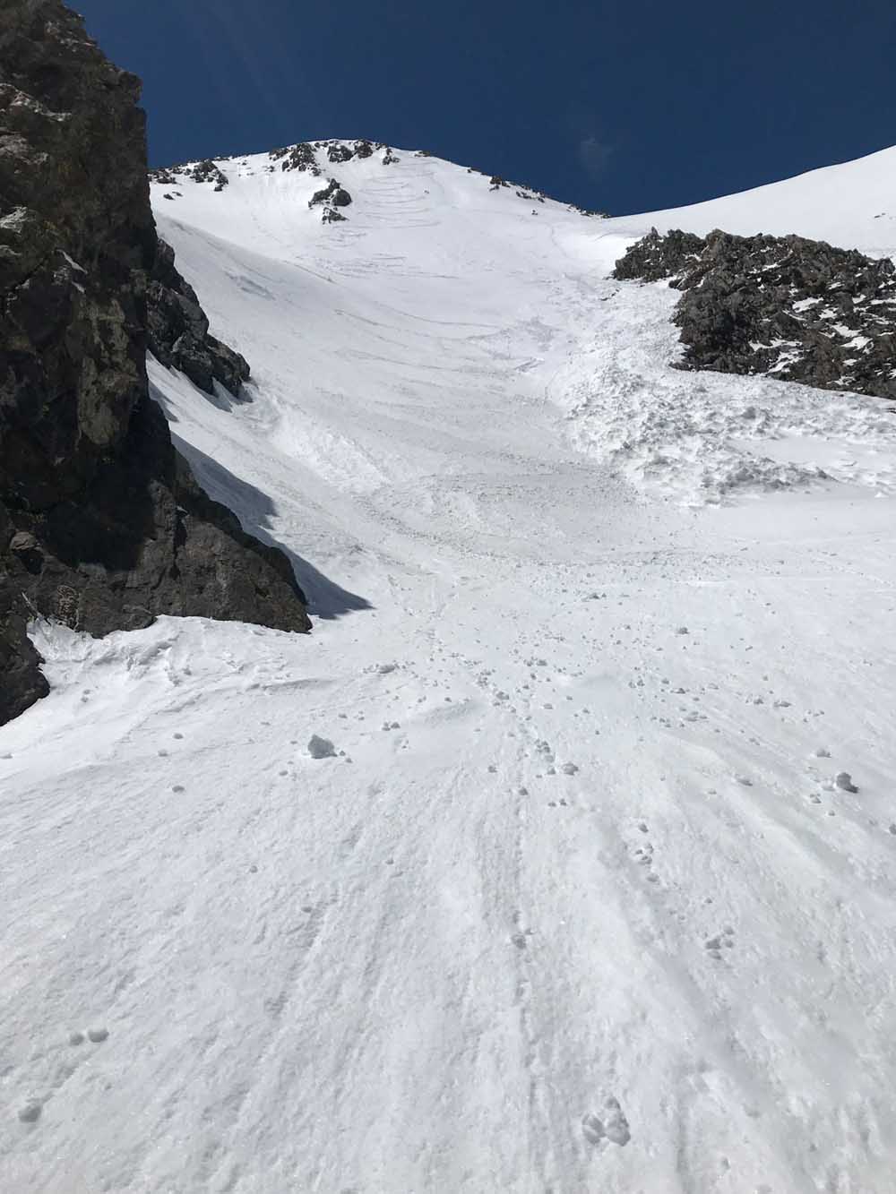
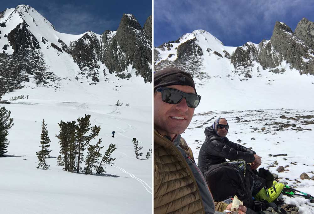
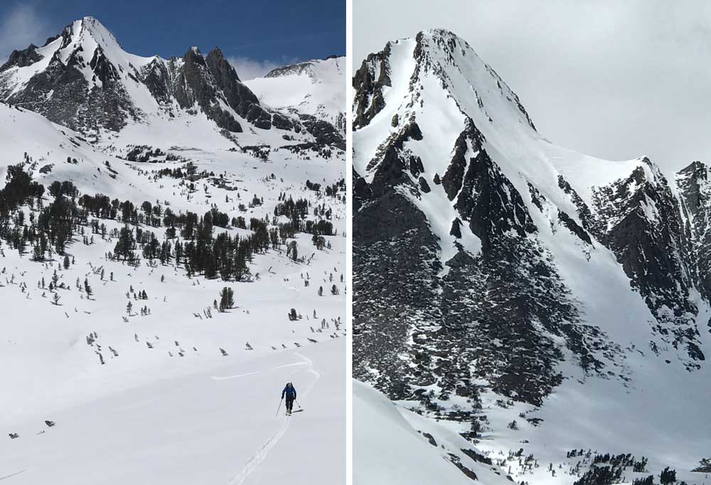
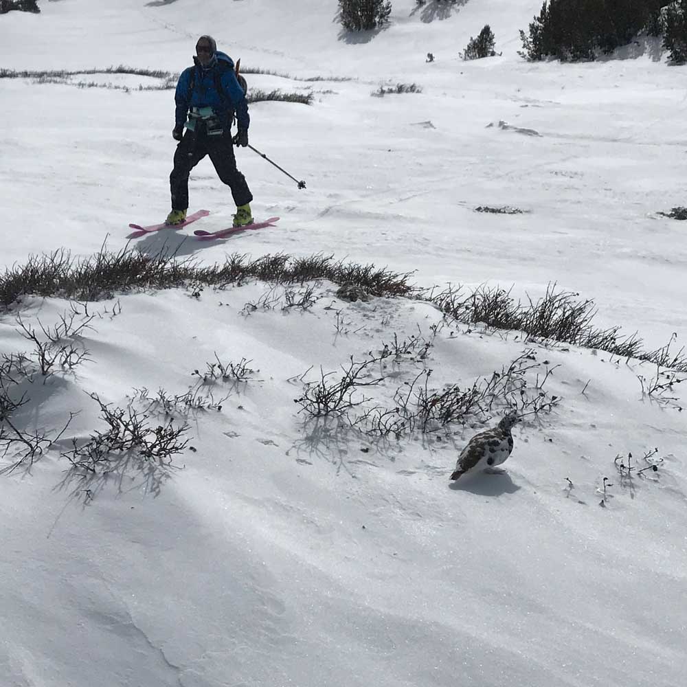
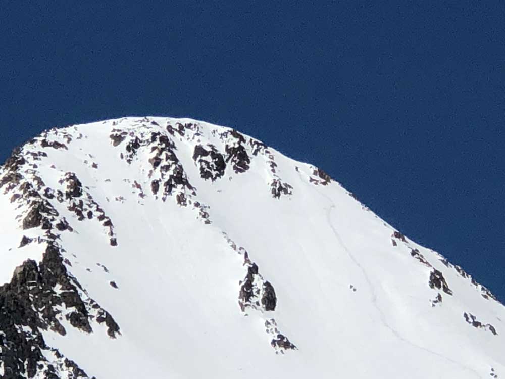
These pics are from 5/20/19 which was a big winter and still snowing at this time. This one had been on my list for years and I grabbed Hank Baker to come with me. The east face of Virginia Peak goes on your list as soon as you see a pic online. You won’t see it from the surrounding summits, but if you ever get to Summit Pass out of Virginia Lakes, you’ll start sweating and taking pictures of it if you are a skier. It’s about 45-50 degree and kind of deep in the backcountry, but easy to navigate. I’m not a great skier but have experience and confidence when it’s kind of scary I guess. I didn’t see an easy way down, and the climb is steep too on the right side of the peak.
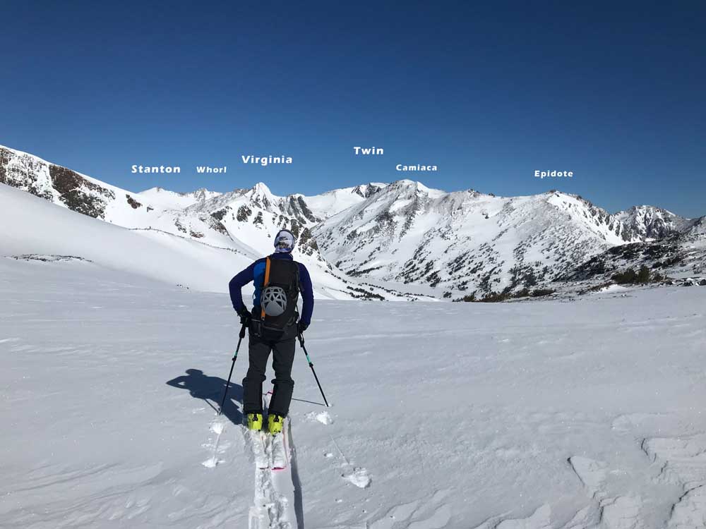
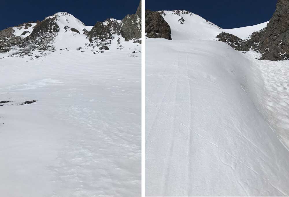
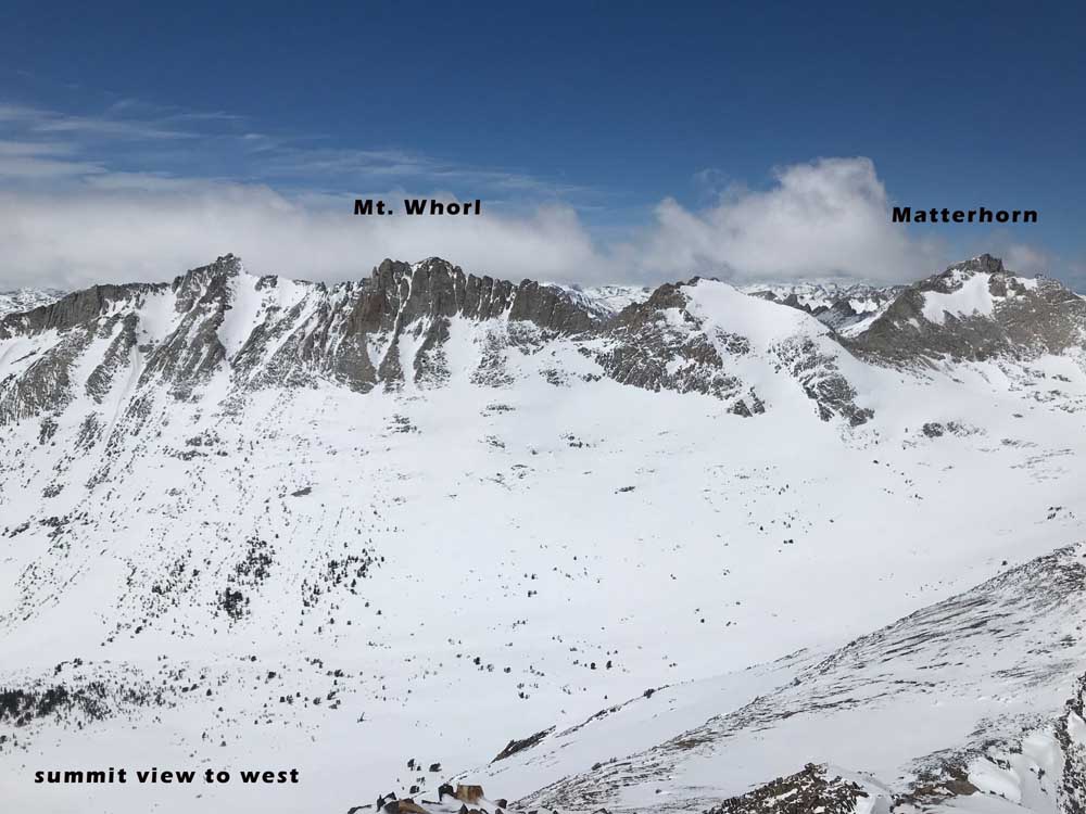
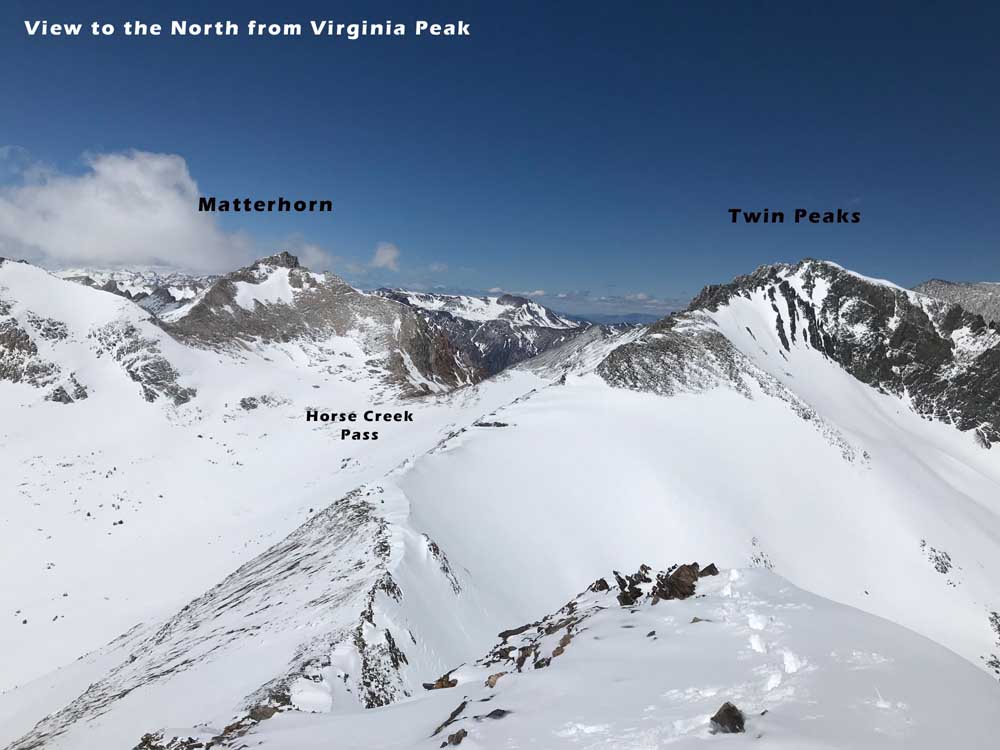
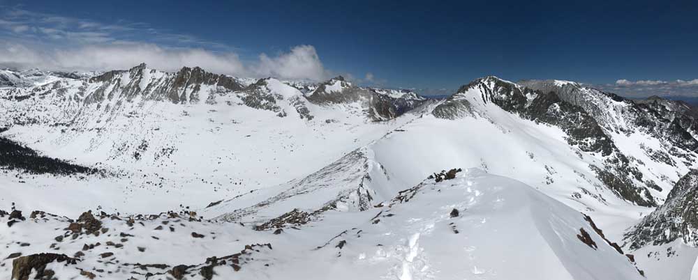
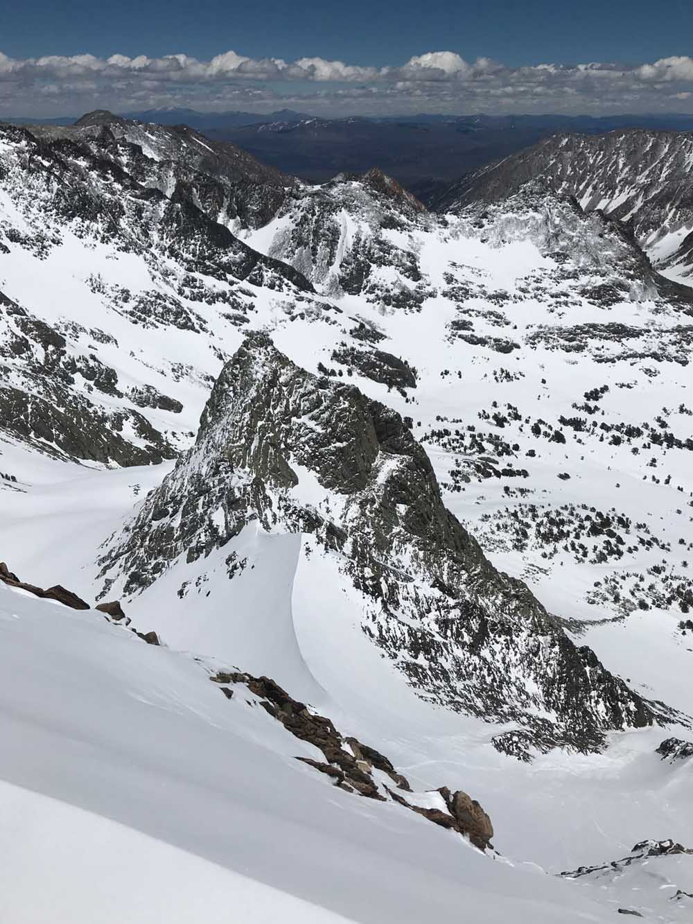
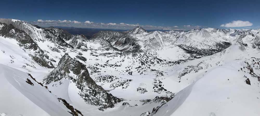
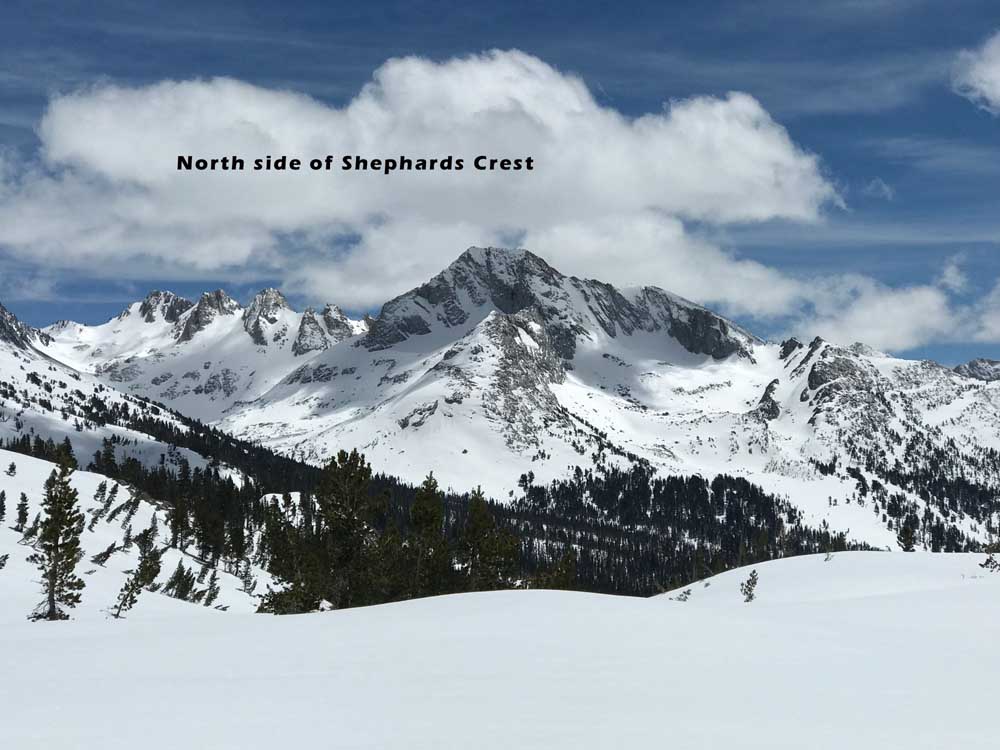
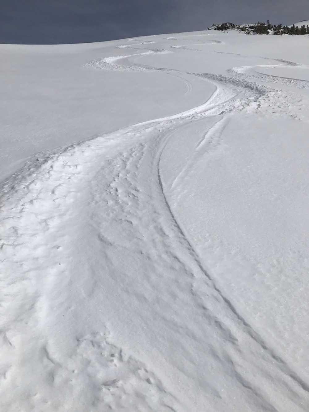
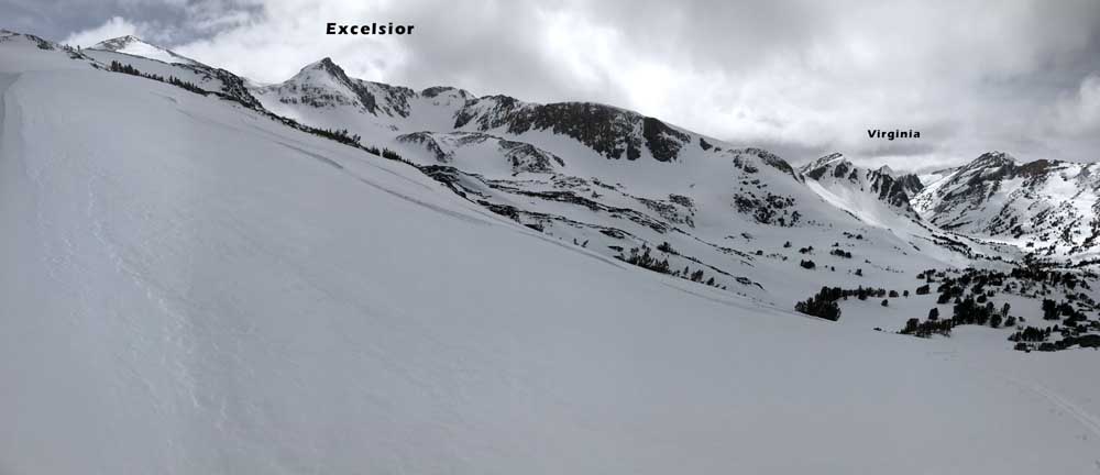
Going up is has a very airy and narrow feel, and you’ll want the snow to be soft, or have sharp steel crampons and axe. Maybe not as soft as on my day, where it was knee deep and heavy, and starting to crust over. I wouldn’t put more than 2 skiers together on the climb. I put skis on at the tiny summit and slid right into the middle of the slope fairly easily, and enjoyed a different perspective looking at the backsides of nearby peaks I’ve skied like Matterhorn, Twin Peaks, Excelsior, and Dunderberg. I also found a new fascination while looking at the north side of Shepherd Crest. The summit is just a pile of small sharp rocks and I didn’t look around to inspect a walk-down into the SE chutes that seemed to provide a slightly easier escape descent from below. There was no snow on the West side as expected.
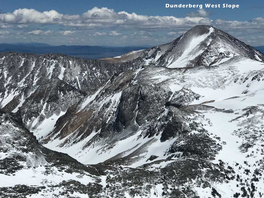
The Greenberg/Mingori Guidebook mentions approaching this peak from the Green Creek Campground Trailhead at 7980′. This would get you a few peaks to ski from your camp if you go as soon as the dirt road melts out. I can’t comment on what this approach would look like with low snow coverage. I think if you’re going to do the Green Creek/Dunderberg Car Shuttle, you might leave the shuttle car and go ski Virginia Peak at the same time. This would help justify the time to drive back there. Of course this car shuttle is worth the drive in itself, I have that tour described in this guide as well.
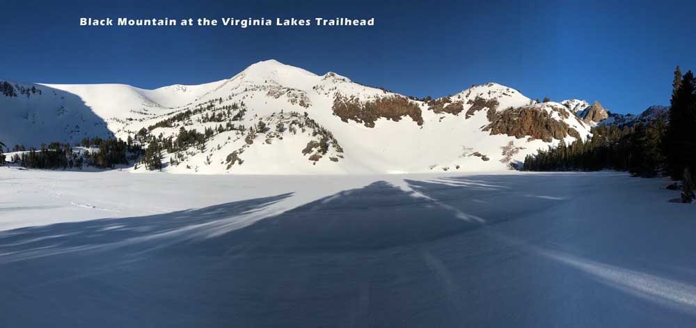
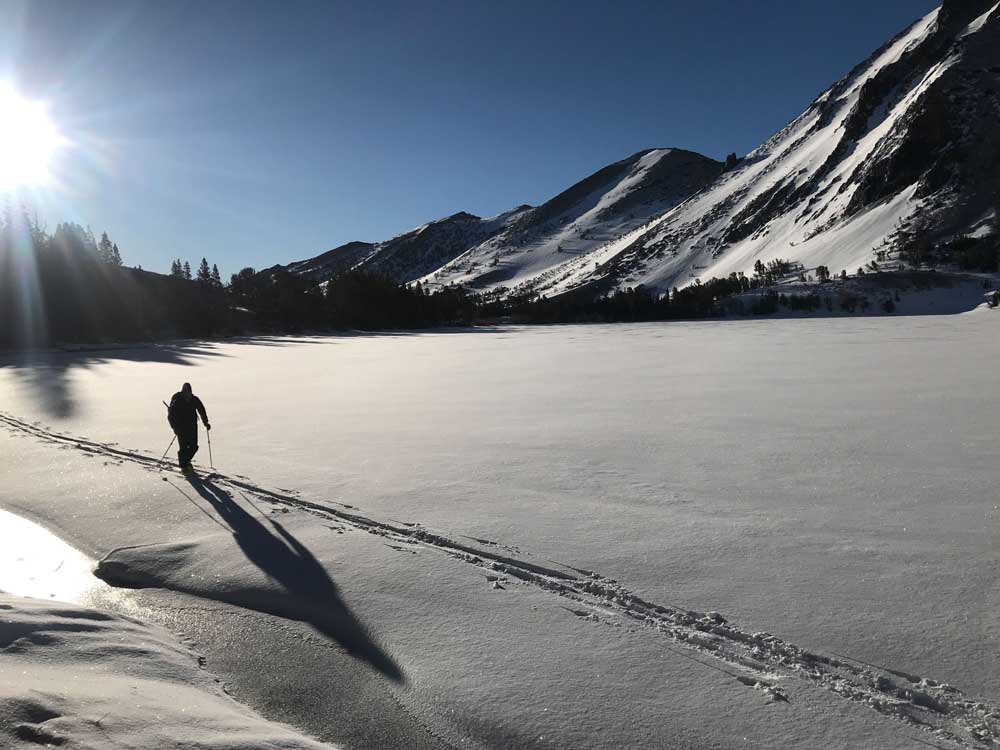
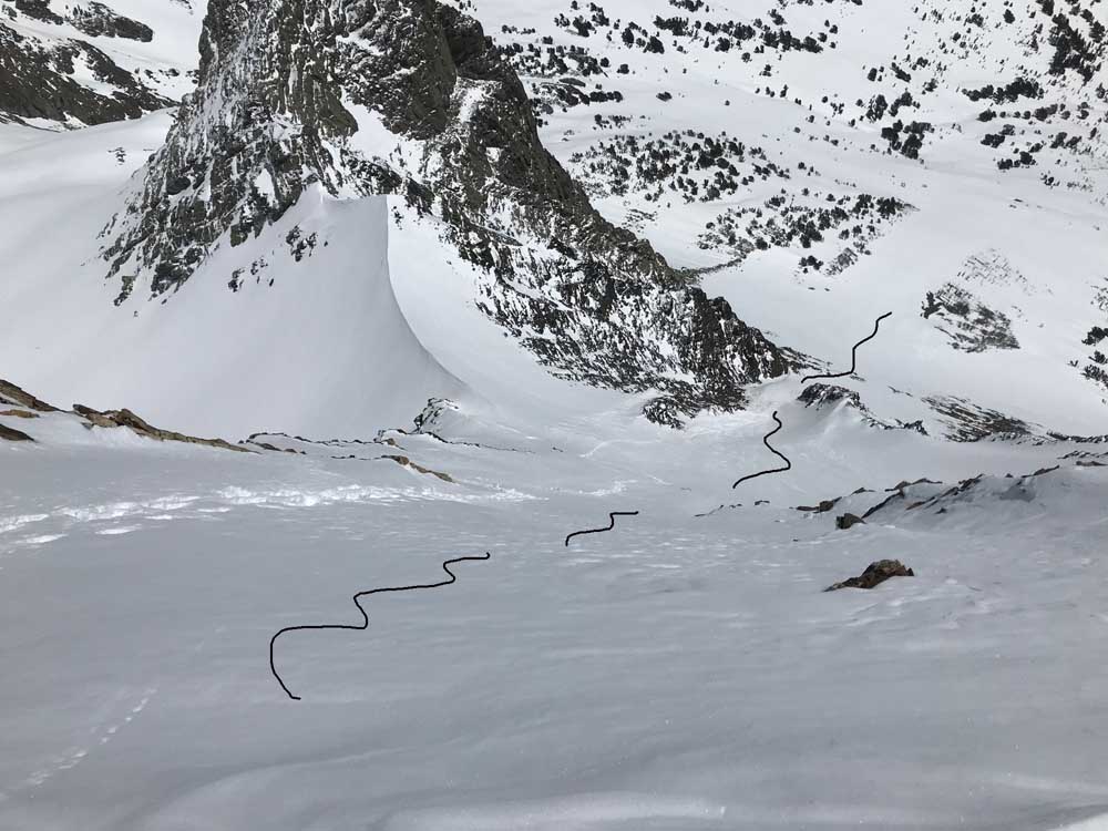
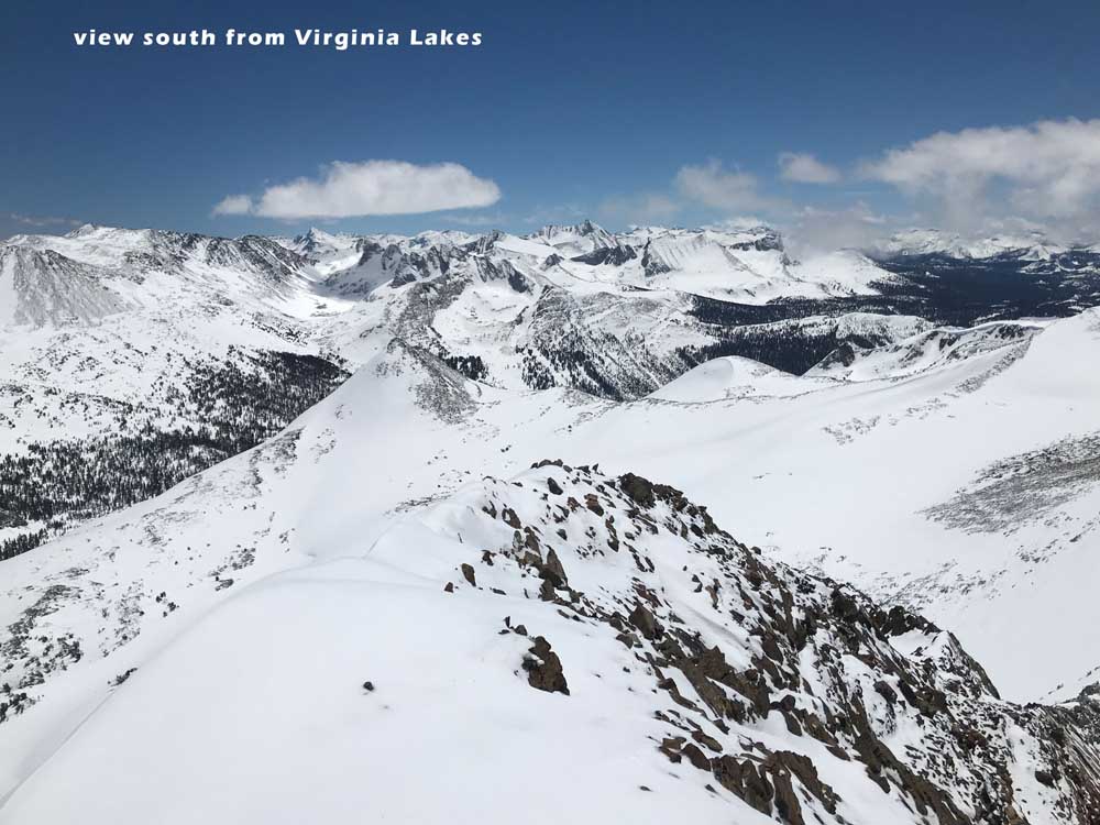
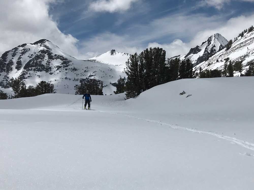
On the map It looks to be about the same distance to ski Virginia Peak from Virginia Lakes Trailhead at 9805′, which a friend did years ago, so I chose that one being late May. I’d also thought many times of going out there mid winter from the end of Twin Lakes, through Horse Creek Pass, in-between Matterhorn and Twin Peaks. This is more vert but much more skiing in a loop using the south gully of Twin Peaks to return to the car. Again, I haven’t done this so don’t be mad if this one gets you in trouble. Going from Virginia Lakes didn’t get us more than about 1000′ of worthy turns in addition to the awesome Virginia Peak 1800′ descent. And it took all day. As the saying goes, “if it were easier, everyone would be doing it”. If I were to go out there again and found the peak to be out of condition, I would ski the east face of Stanton Peak and the north side of Grey Butte. These are right next door and about 35 degrees steep.
Virginia Peak


Looking for awesome ski and splitboard tours in the Sierras? We’ve got write ups on many common and uncommon tours curated by the owner of the BackCountry, Mike Schwartz.


