Location: Carson Pass – Hope Valley, CA
Duration: 2 hours
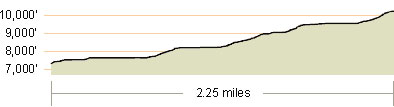
Elevation Change: 2,611′ – from 7,430′ to 10,041′
Recommended Map:
Elevation Profile:
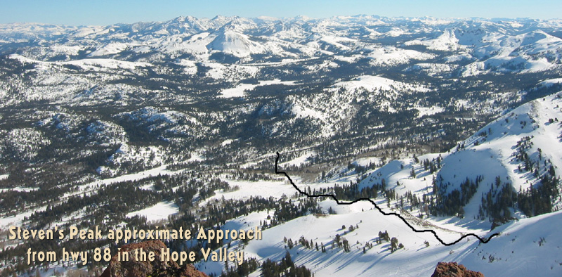
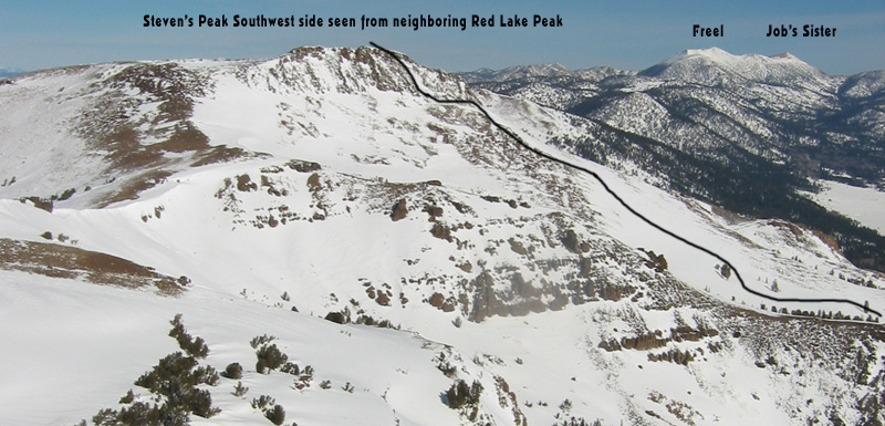
Map of General Route:
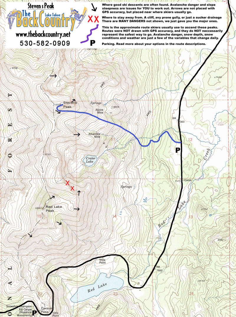
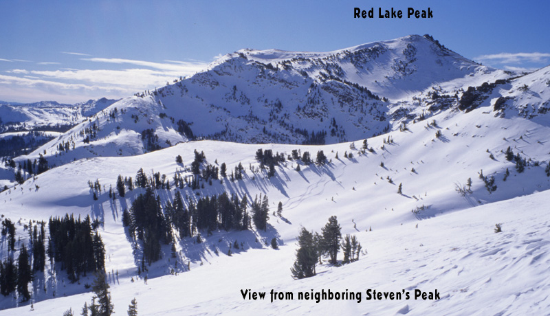
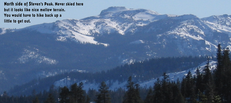
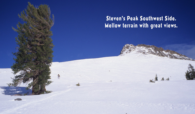
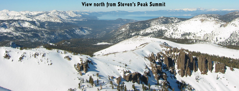
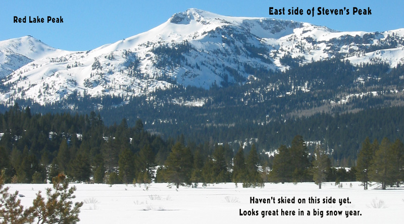
Steven’s Peak’s south side offers rolling, wide-open slopes to cruise for a long way back to your car. There are some steep, challenging ski descents to be had on the east side of Steven’s Peak like the Comma Couloir. You can also wander off the north side and pick your way around the mountain but prepare for a longer tour for less skiing.
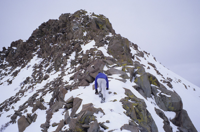
Park along hwy 88 in the Hope Valley, on the west side of the road is in a plowed pullout along a flat straightaway. You should not be bothered parking here and can access Red Lake Peak or Steven’s Peak. My perception from all the times I drove by and ignored Steven’s Peak, is that it takes a big winter to get the upper mountain covered enough. The winds strip away the snow up high on the exciting looking east side, and the lower half looks kind of boring. Boring lower angle terrain near the car may mean you get fresh tracks everywhere. If I lived closer, I would be skiing in this zone a lot.

Looking for awesome ski and splitboard tours in the Sierras? We’ve got write ups on many common and uncommon tours curated by the owner of the BackCountry, Mike Schwartz.


