Location: South Shore – Lake Tahoe, CA
Duration: 4 – 5 hours
Elevation Change: 3,633′ – from 7,000′ to 10,633′
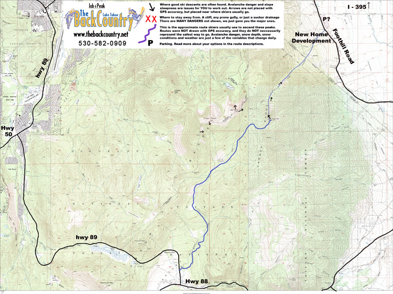
Recommended Map: Job’s Peak & South Lake Tahoe, California
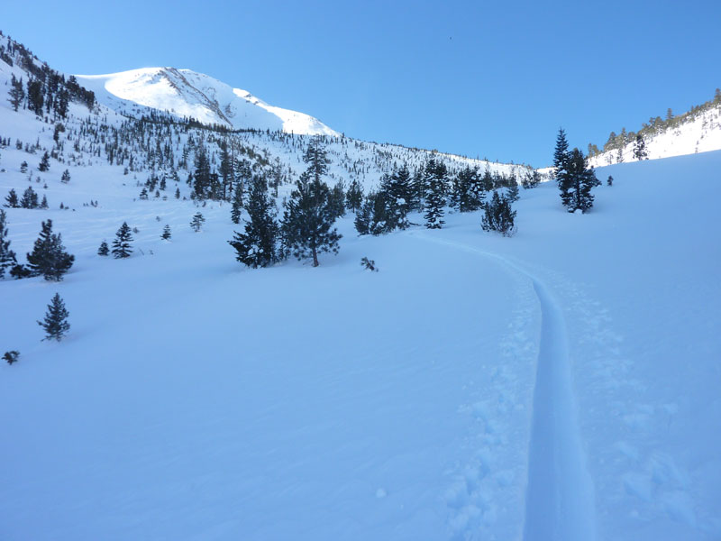
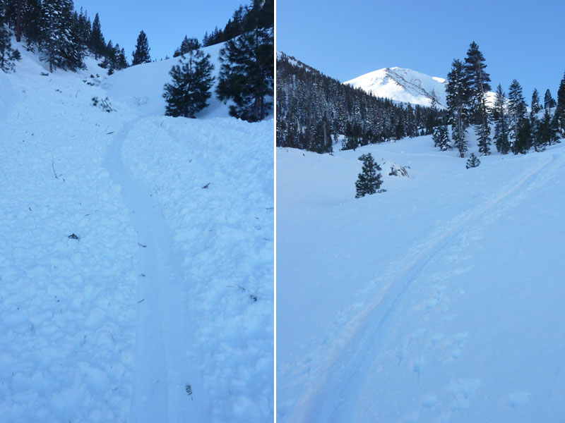
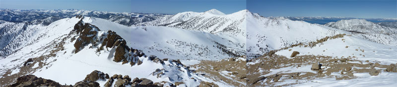
Map of General Route:
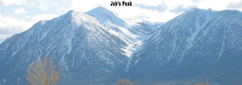
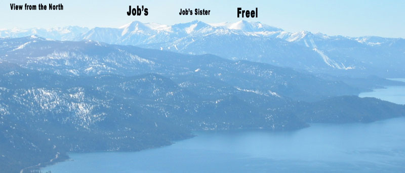
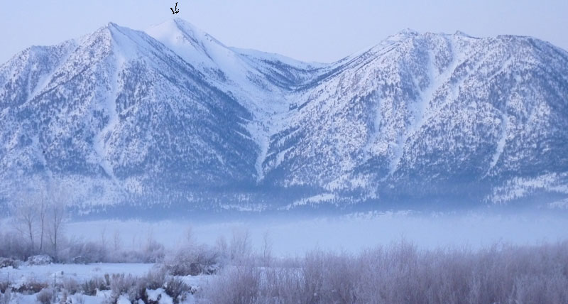
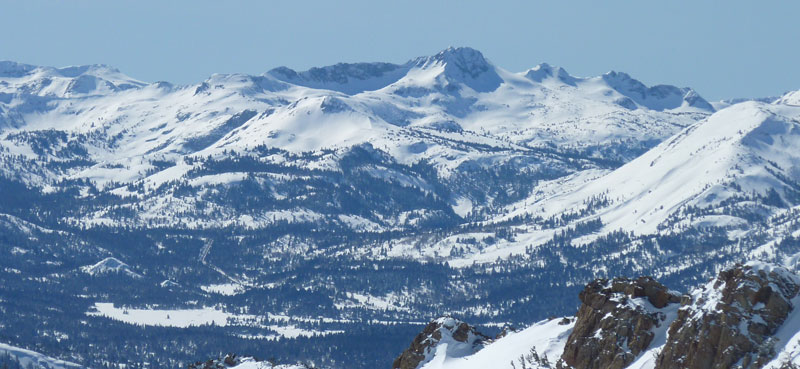
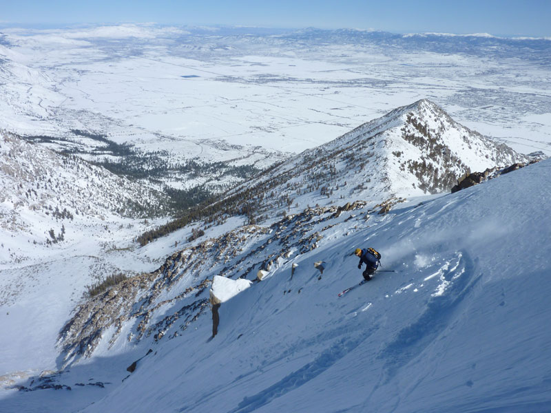
Heading out to Job’s Peak means you’re going to be busy for the entire day. Job’s towers 5000’ above Minden and Gardnerville, and is the highlighted scene for Carson Valley Real Estate Marketing. Ignore the new posh golf courses in these photos and check out the north gully coming off the summit. I think the main drop from the summit is referred to as “Jaws”. Job’s Peak is our own, quiet, backyard monster peak that ends the chain of Eastern Sierra Giants starting 200 miles to the south.
Directions from Carson Valley Trails Website: From the intersection of Hwy 395 and Hwy 88 in Minden, drive south on Hwy 88 for 6.5 miles. Turn right on Fairview Lane and drive 1.7 miles (Fairview Lane becomes Foothill Road). The signed Fay-Luther Trailhead is on the west side of the road with the Jobs Peak Ranch Trailhead 2 miles further. If you are coming from the base of Kingsbury Grade at the 4-way stop with Foothill Road, go south on Foothill Road for 2.5 miles to the signed Jobs Peak Ranch Trailhead on the west side of the road. The Fay-Luther Trailhead is 2 miles further.
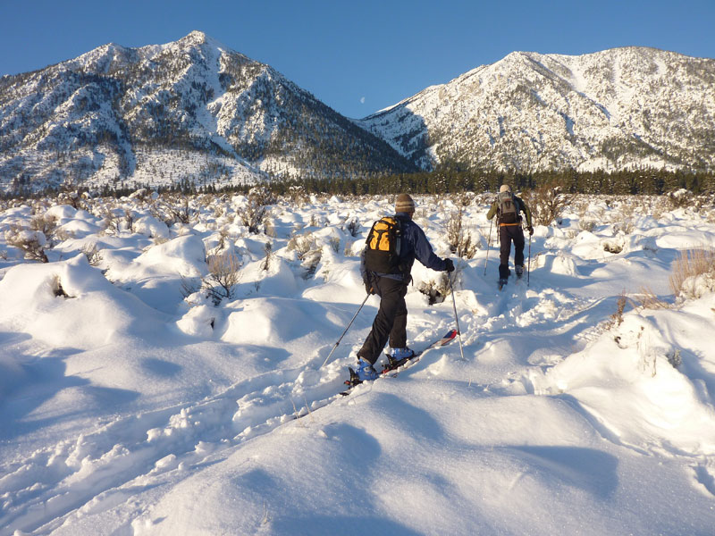
Basically just head for the mountain and you’ll find a trailhead before a gate blocks the private community.
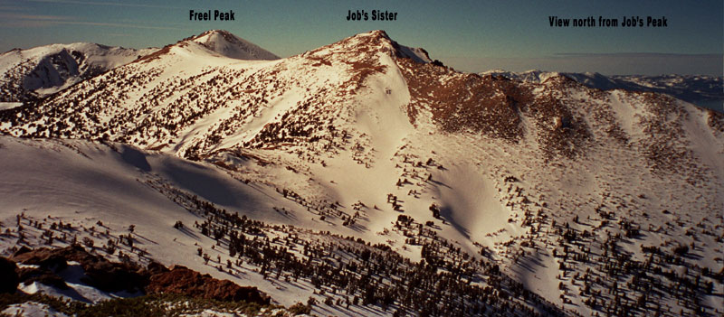
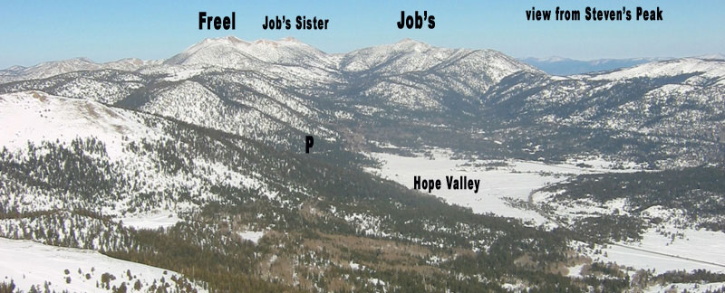
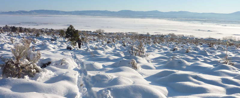
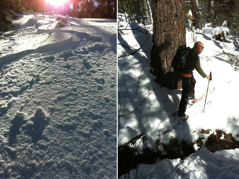
I have skinned up from the Nevada side and much prefer that route, but it’s a lot easier when the snow blankets the valley floor. You are starting about 2 miles away from the mouth of the canyon, and the snow melts quick in the valley. Furthermore if you go right after new snow, you must cross avy paths that usually come down soon after a storm. There wasn’t a single house when I did this tour in the 90’s. Now there is a gated development blocking access to the canyon, so you start skinning from Minden at the Job’s Peak Ranch Trailhead. Or leave a shuttle car down there and start on the south side of Luther Pass on hwy 89, just above the Hope Valley. Starting at 7,000’ sounded a lot better than 4800’ my first time, and I’d like to go try again to see just how long it really takes. This means almost twice the mileage however, with an 8-mile approach to the summit. Traversing over Job’s Peak from west to east is a great way to introduce yourself to the Freel / Job’s / Job’s Sister Trio, and is a very easy skin. Bring kicker skins to save lots of time approaching the base of Job’s Peak from the west.
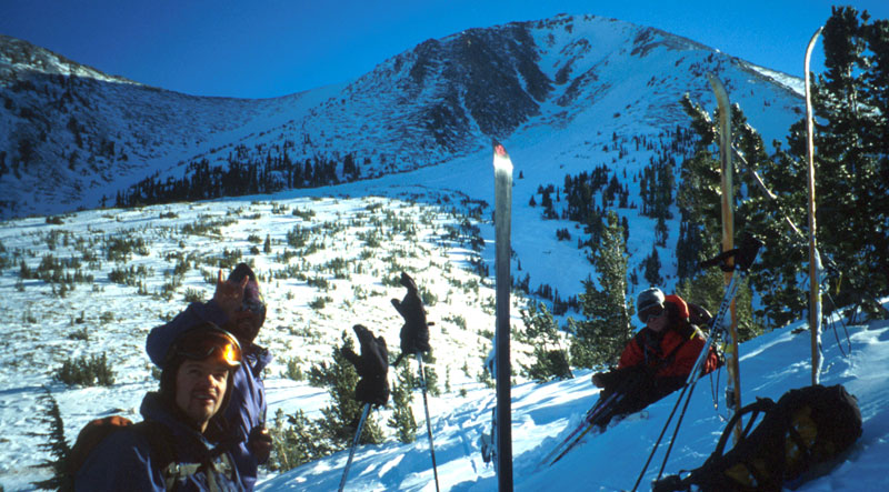
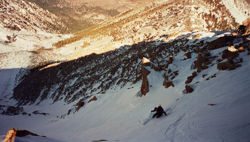
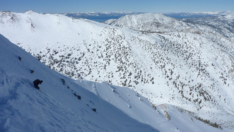
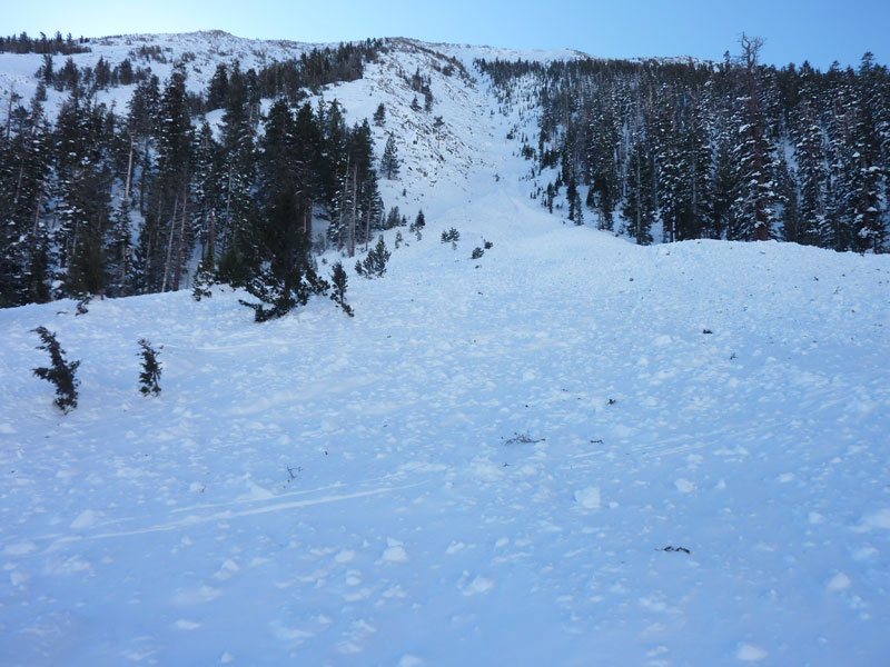
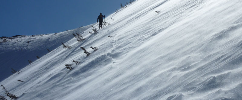
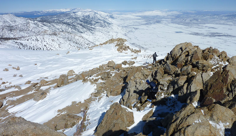
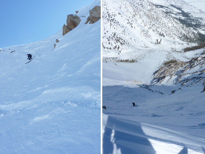
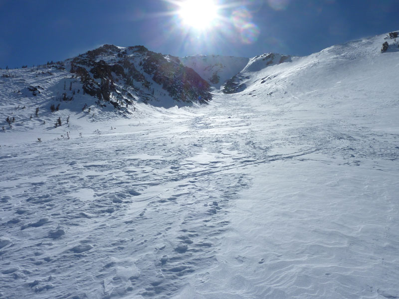
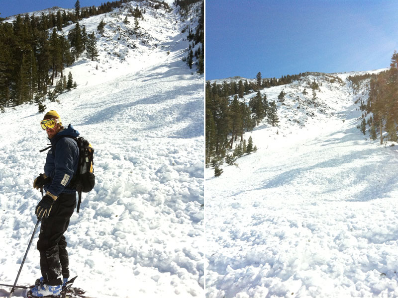
You can ski the steep, committing north facing gullies, or just descend easier terrain a little to skiers left. As you drop into the Job’s Canyon Drainage, you encounter some fun tree skiing, and eventually some bush whacking at the bottom. You might want to check the snowline on the east side before making a date for the tour. On the other hand, skiing down low through the Job’s Canyon Drainage isn’t great anyway. Snowplowing through tight bushes is about the same fun as walking. The few times I’ve skied Job’s Peak, it was breakable crust or hard from common East Winds we get after new snowfall. Plus it’s high up there! I would’t want to ski it in powder anyway, I would be too nervous. So I’d say your probably not going for this peak to get great skiing, but more to check off an intimidating and beautiful line that dominates your view as you head south from Reno on 395.

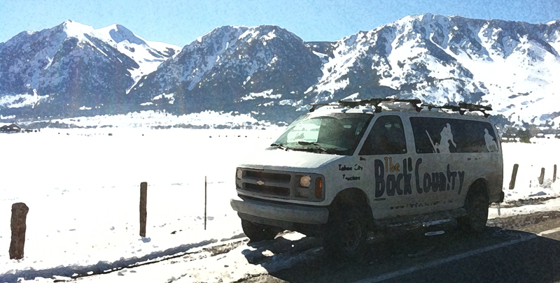
Looking for awesome ski and splitboard tours in the Sierras? We’ve got write ups on many common and uncommon tours curated by the owner of the BackCountry, Mike Schwartz.


