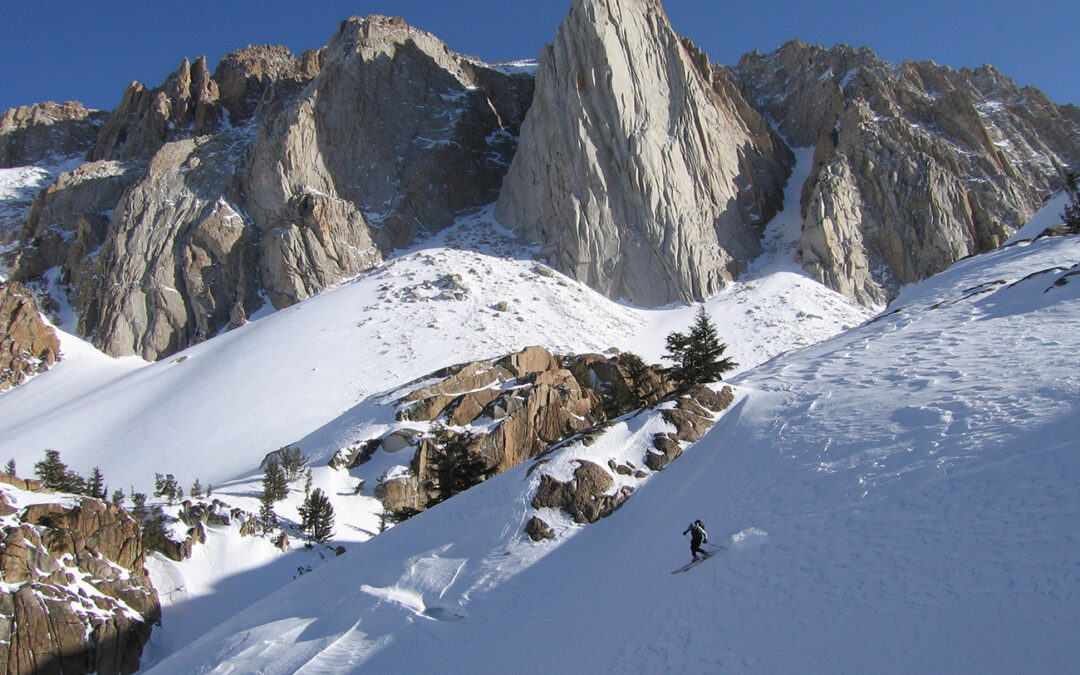
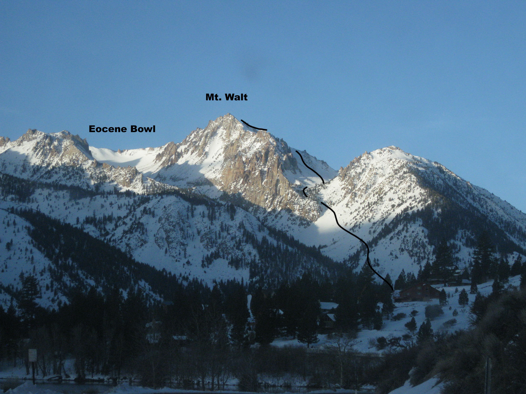
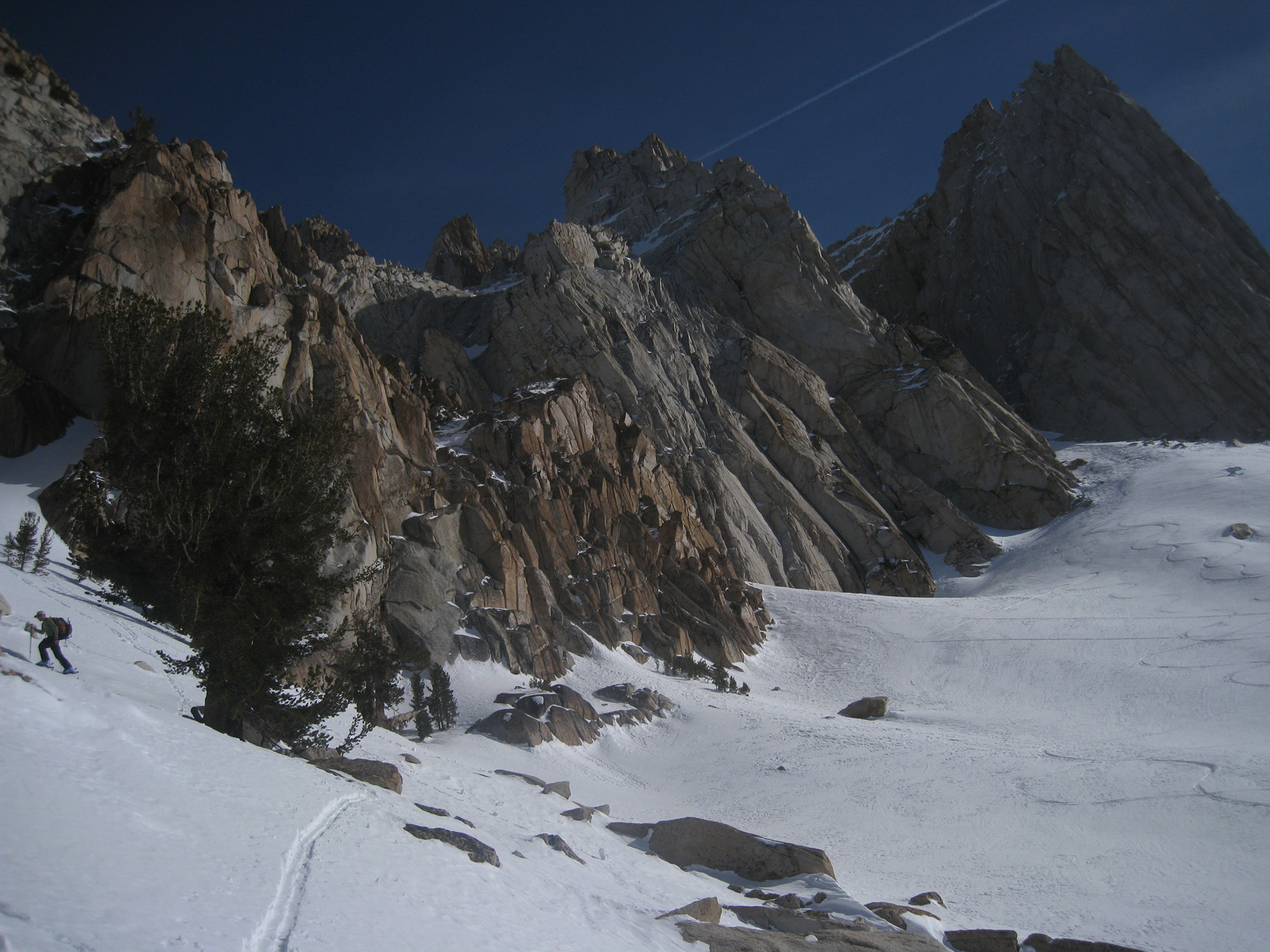
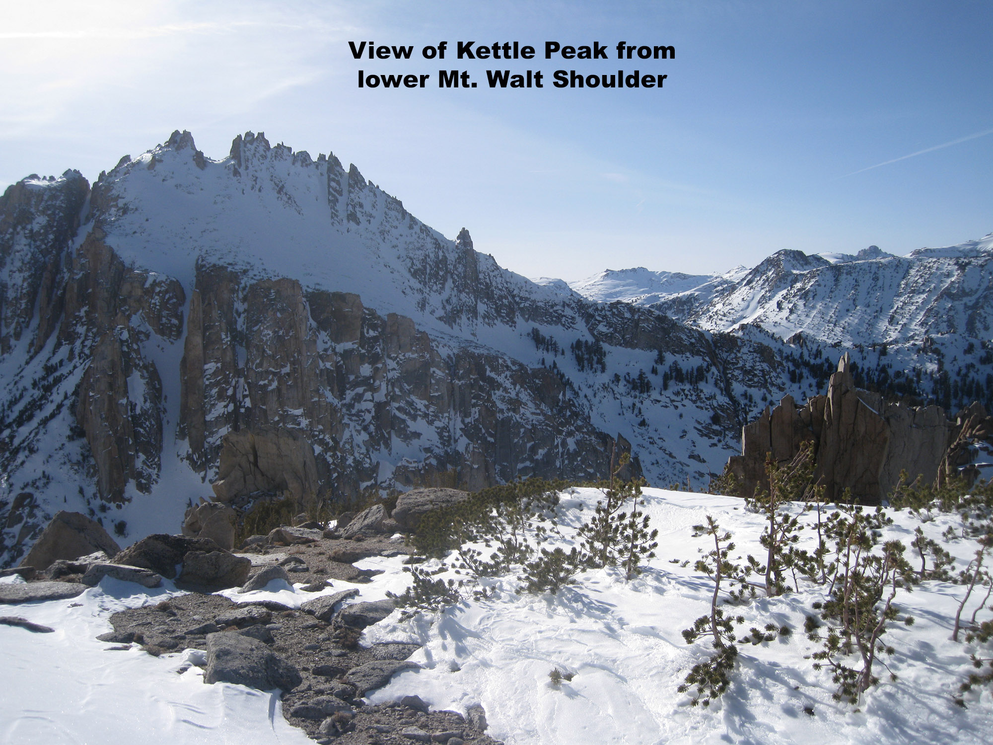
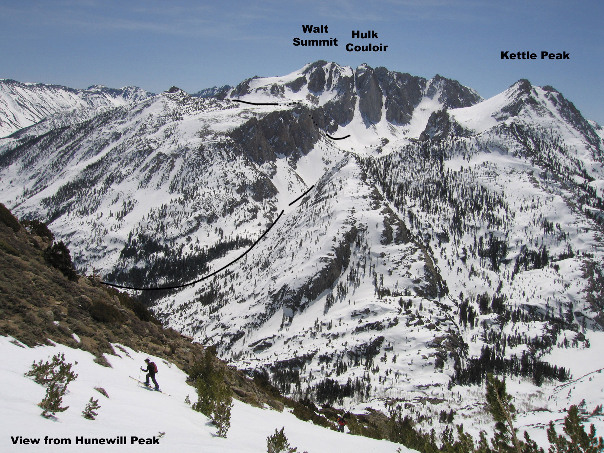
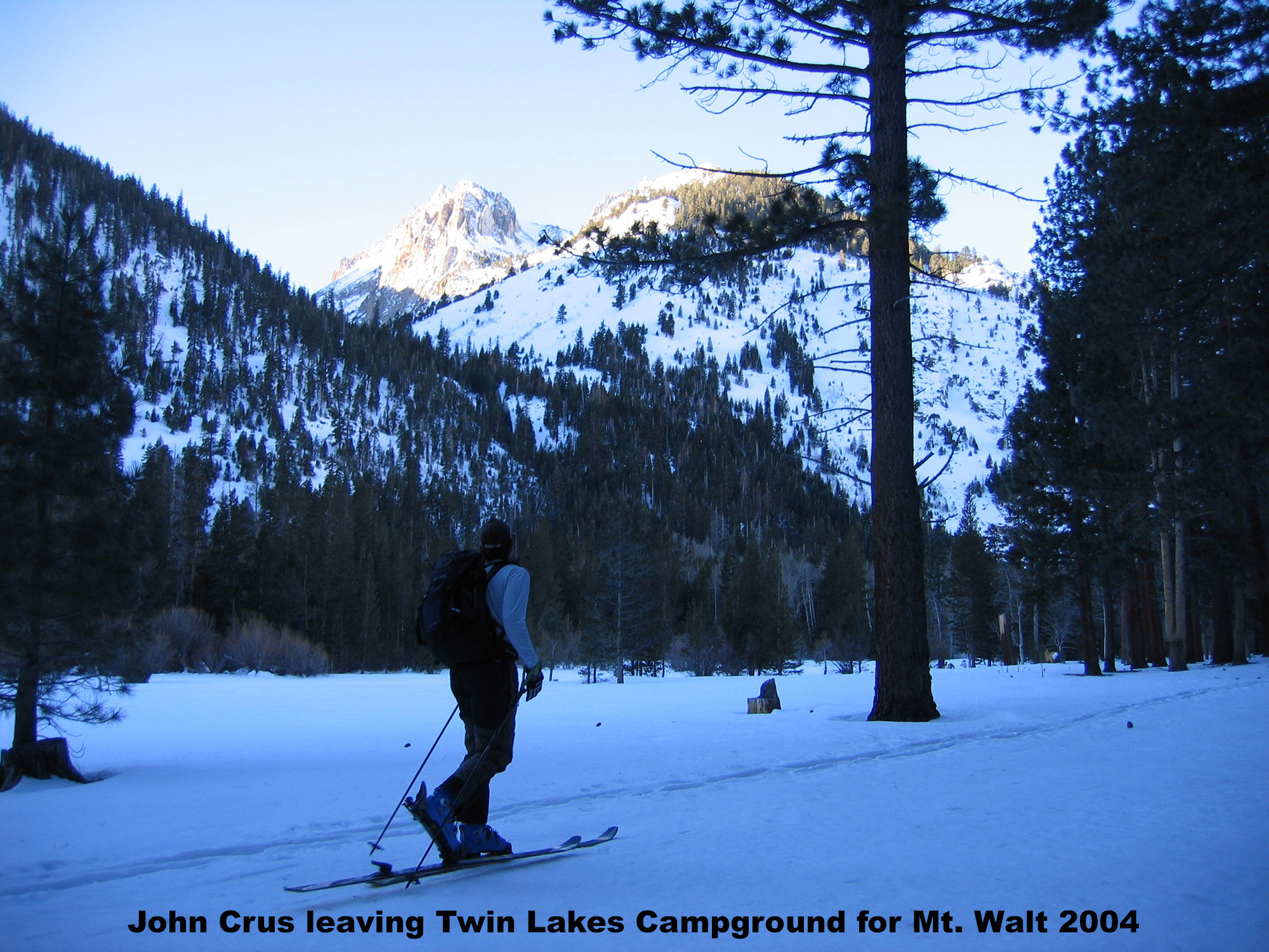
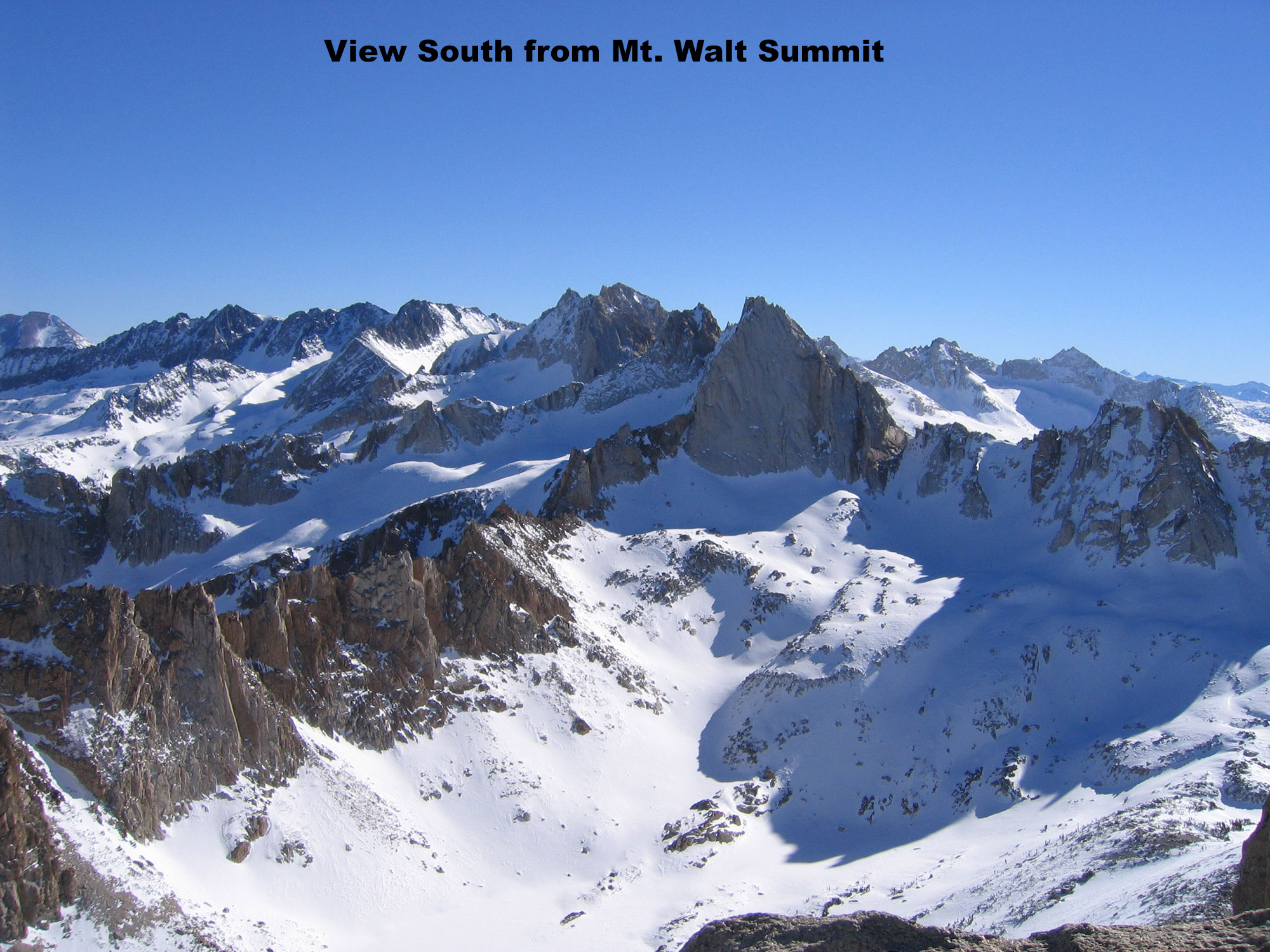
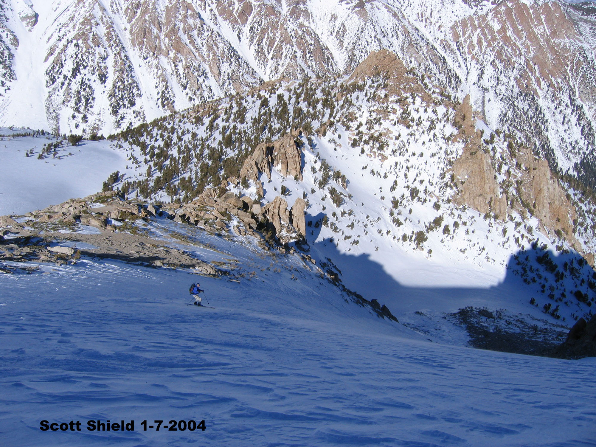

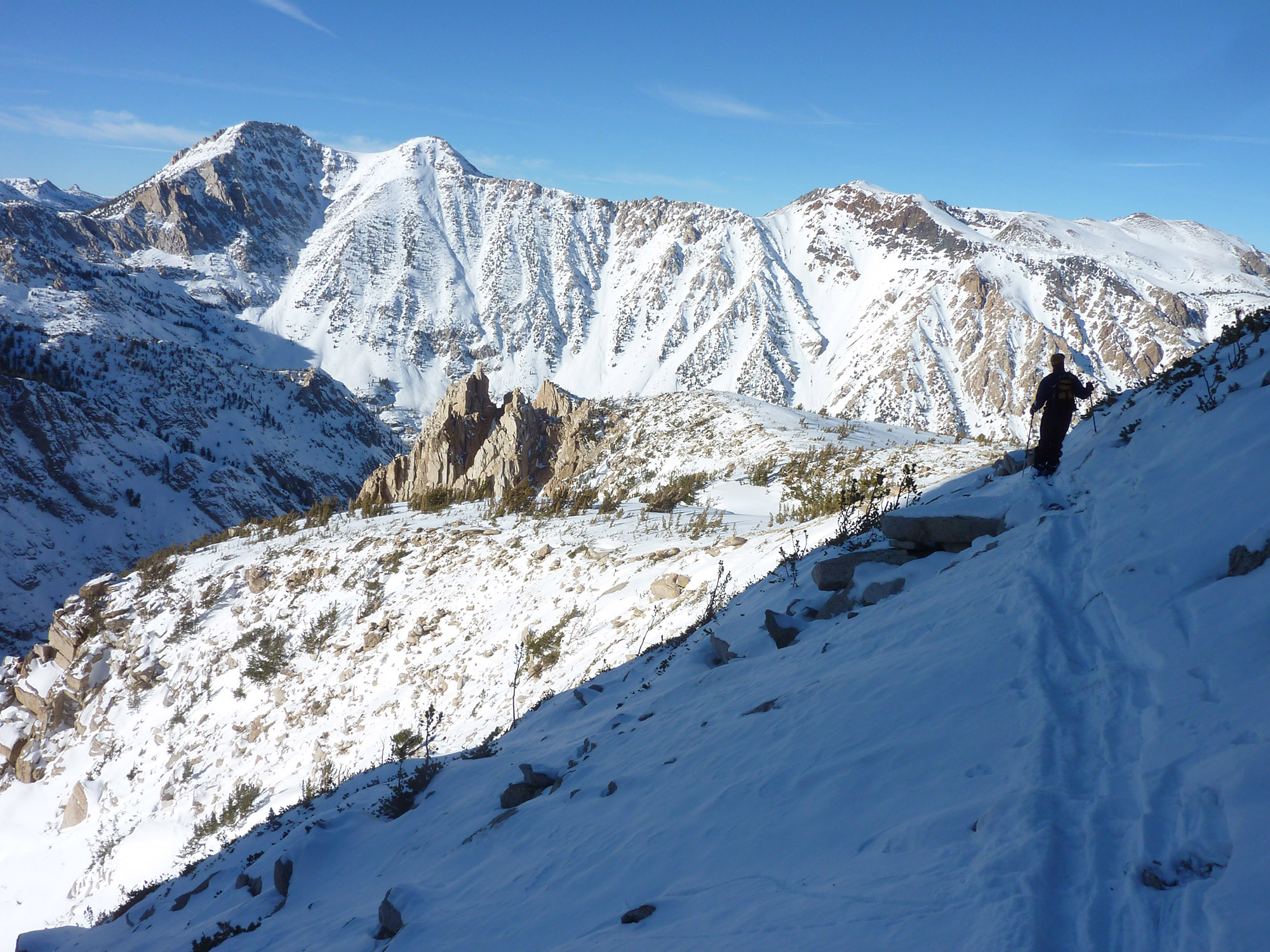
Here’s what I know about this beautiful peak. The summit of Mt. Walt isn’t easy to get on, the snow can be tricky, and it is generally overlooked. The funny thing is Mt. Walt is right above your car at Twin Lakes Campground and looks exciting, and even intimidating. You certainly can’t tell that it is skiable. It was in the John Moynier Ski Touring guidebook we had though, so we had to check it out. You’ve seen Mt. Walt from town and from Travertine Hot springs. It is the northern most part of the Sawtooth Crest, just right of Eocene Bowl.
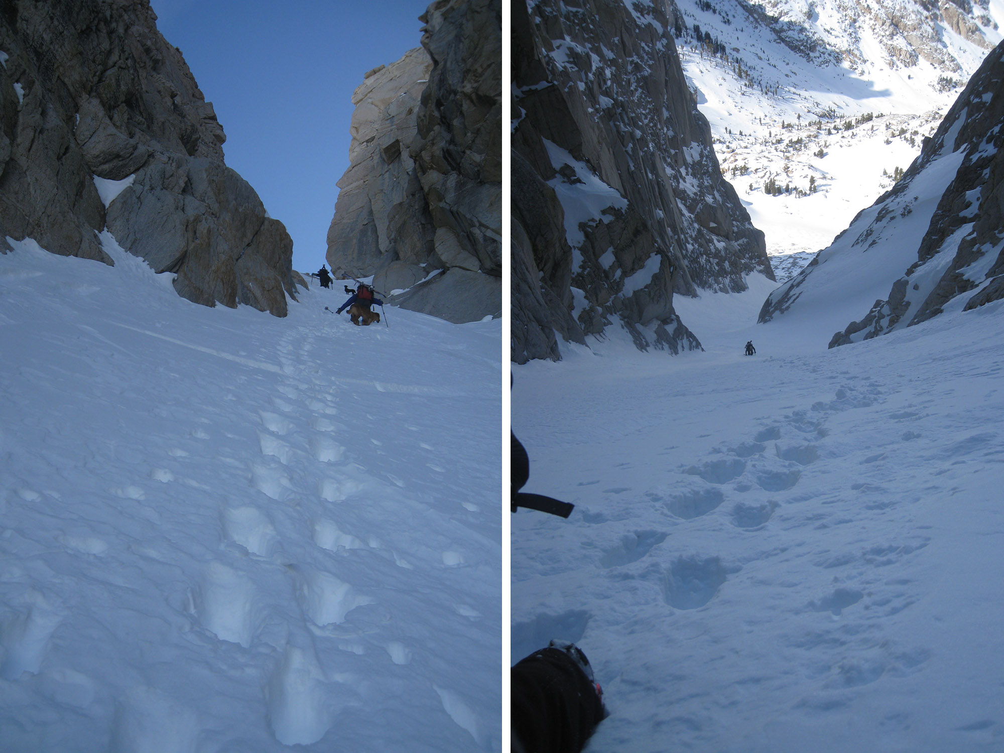
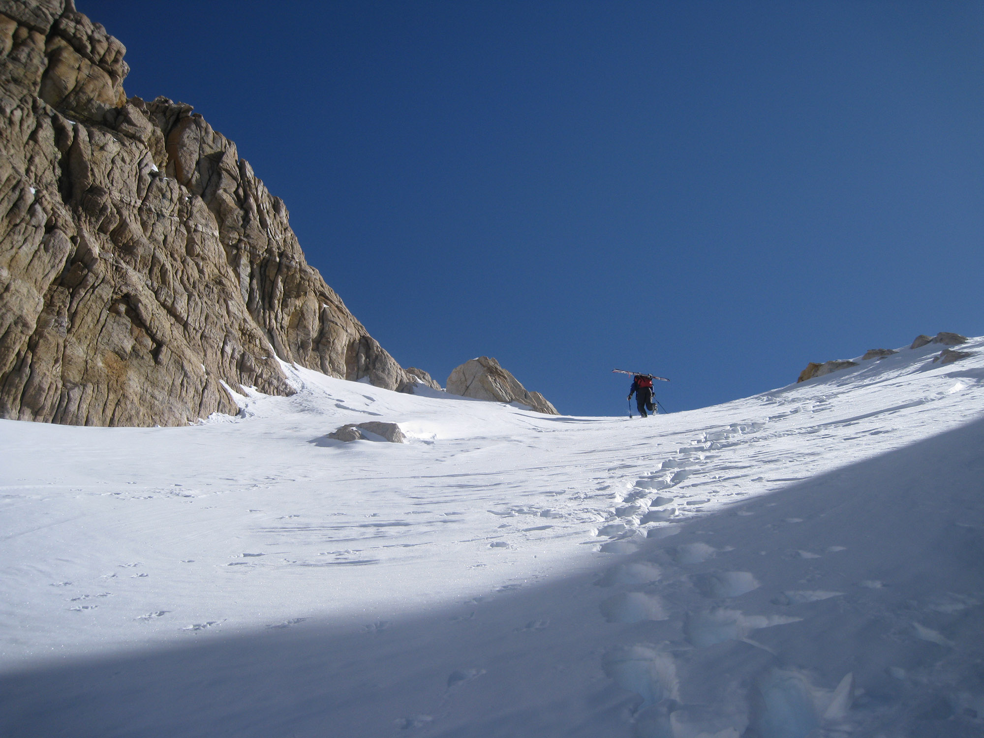
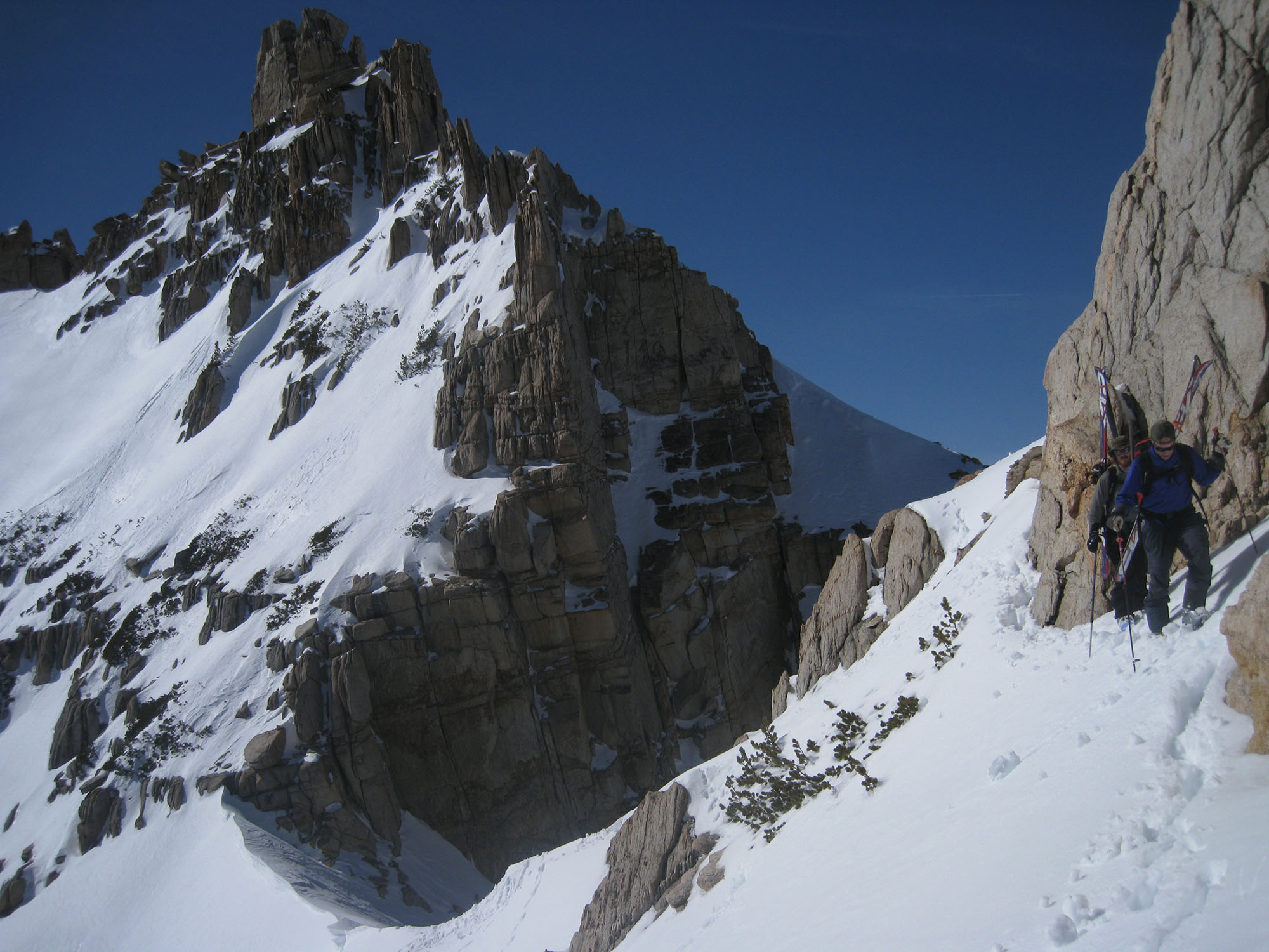
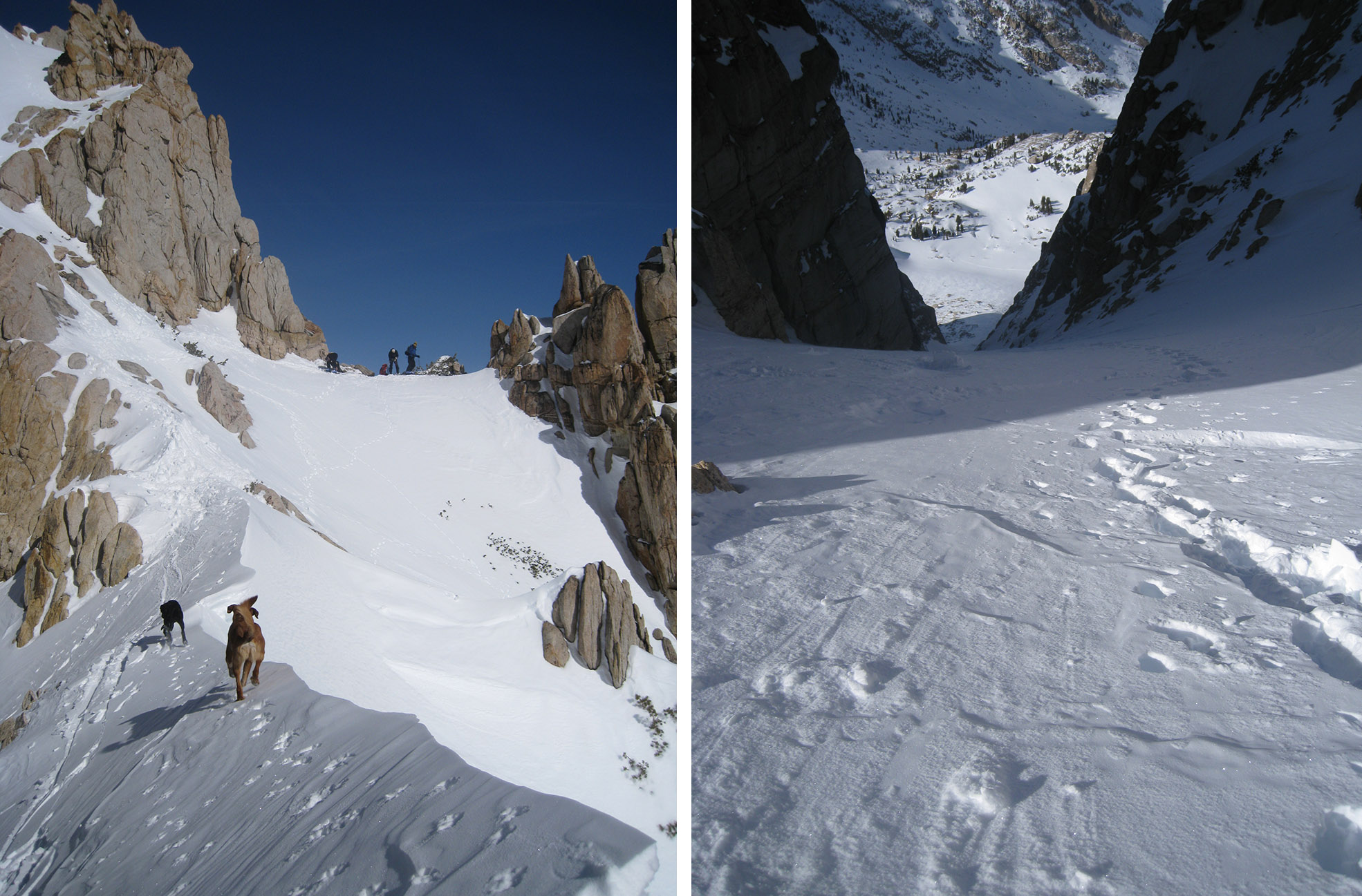
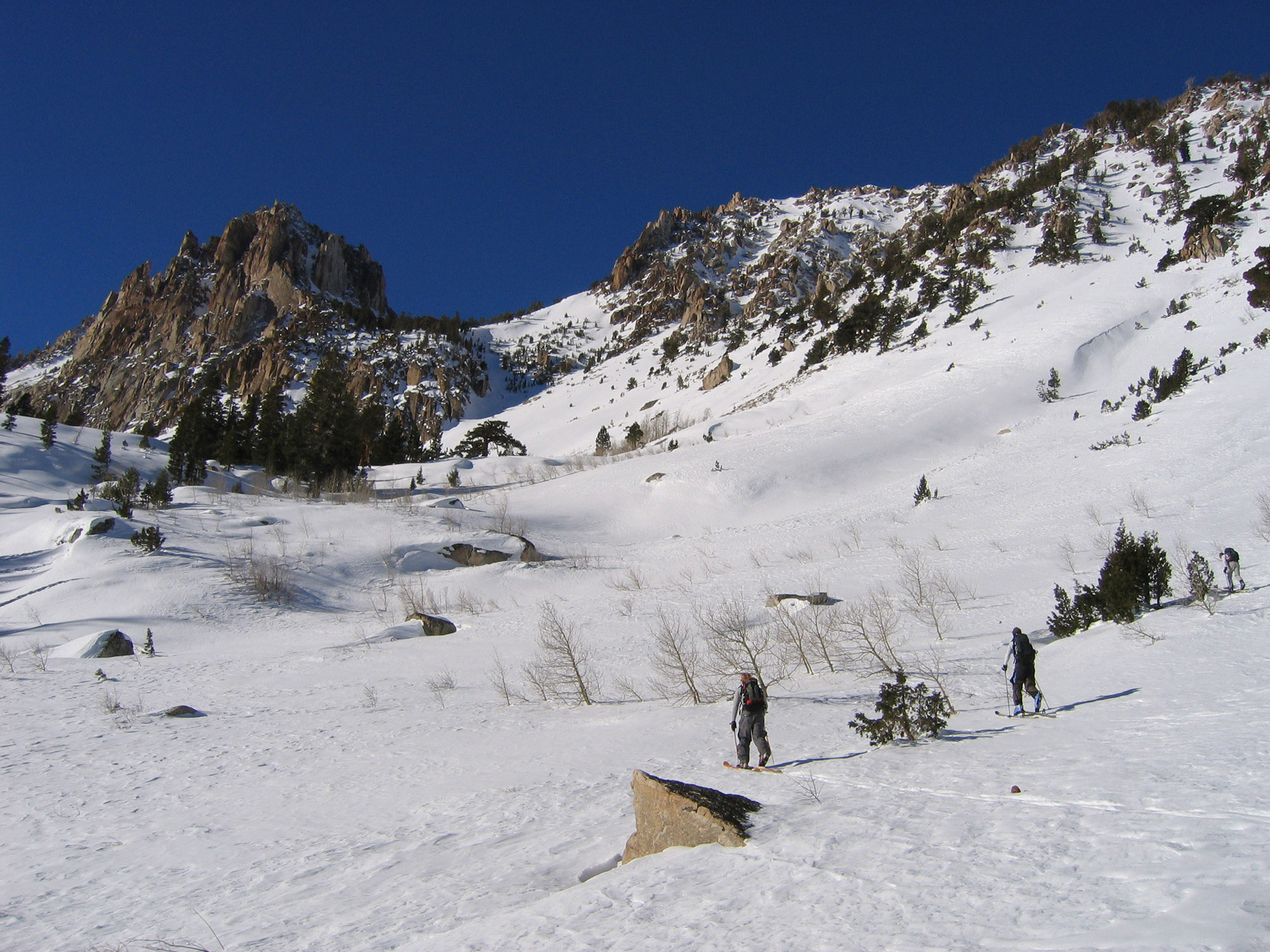
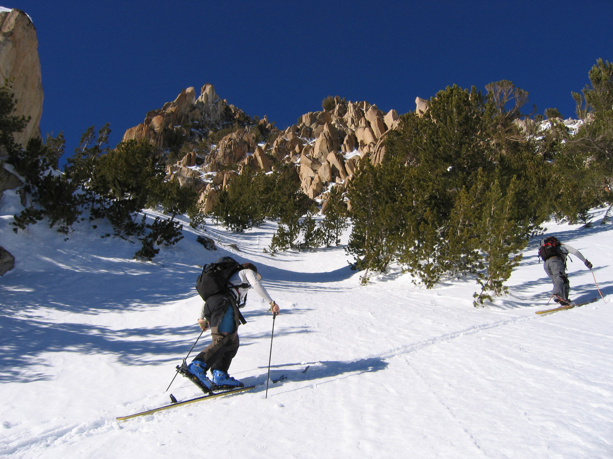
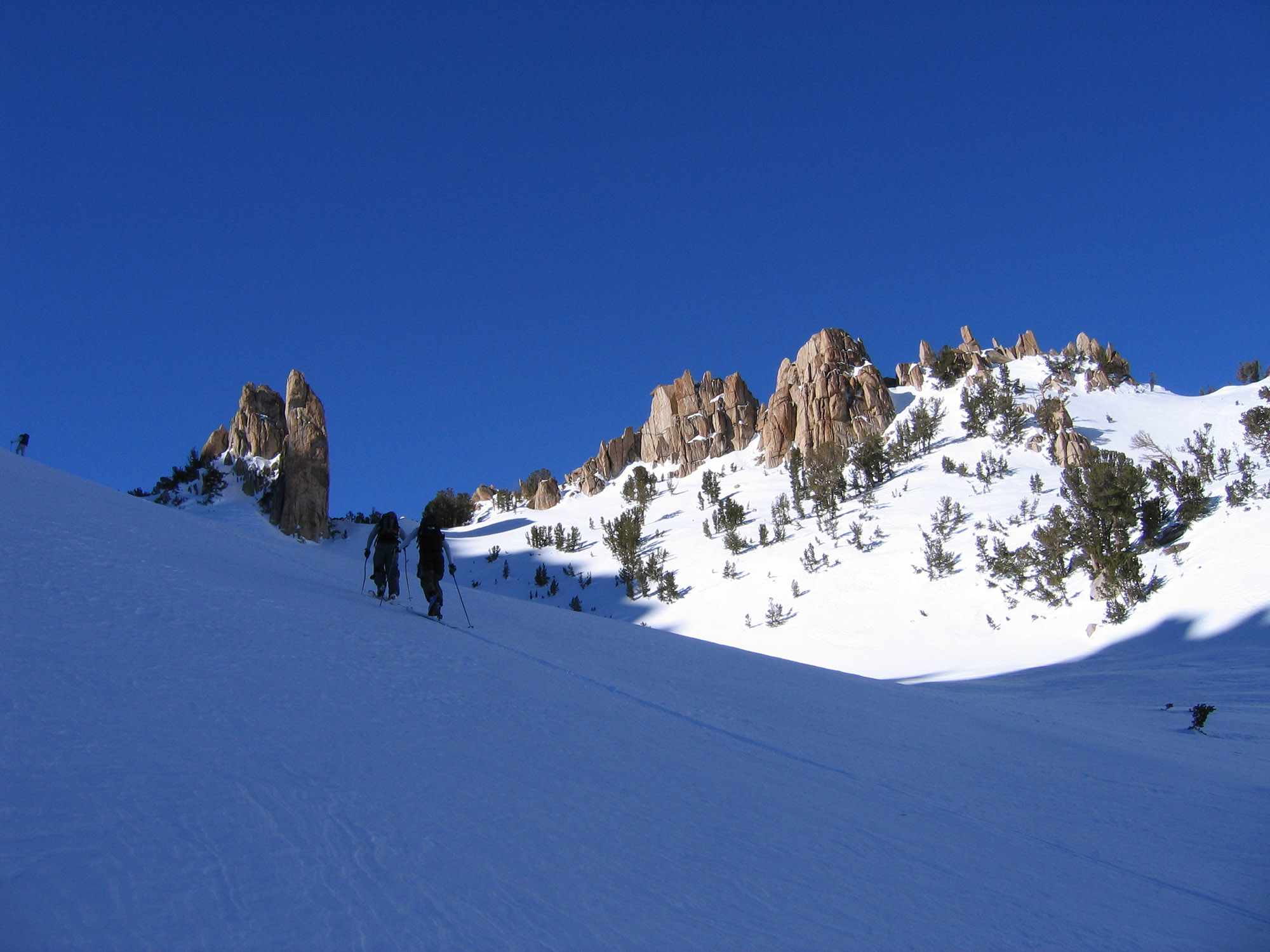
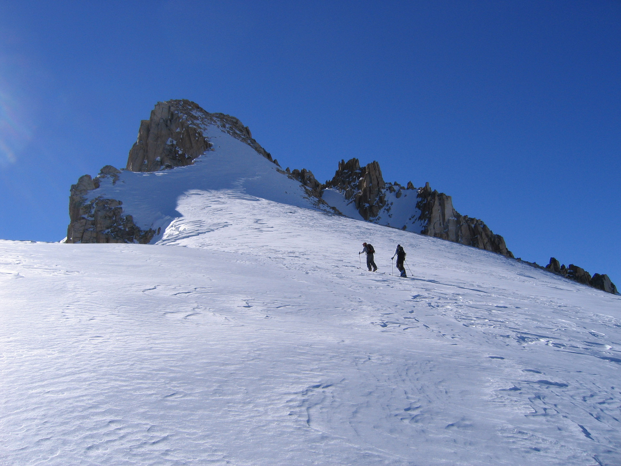
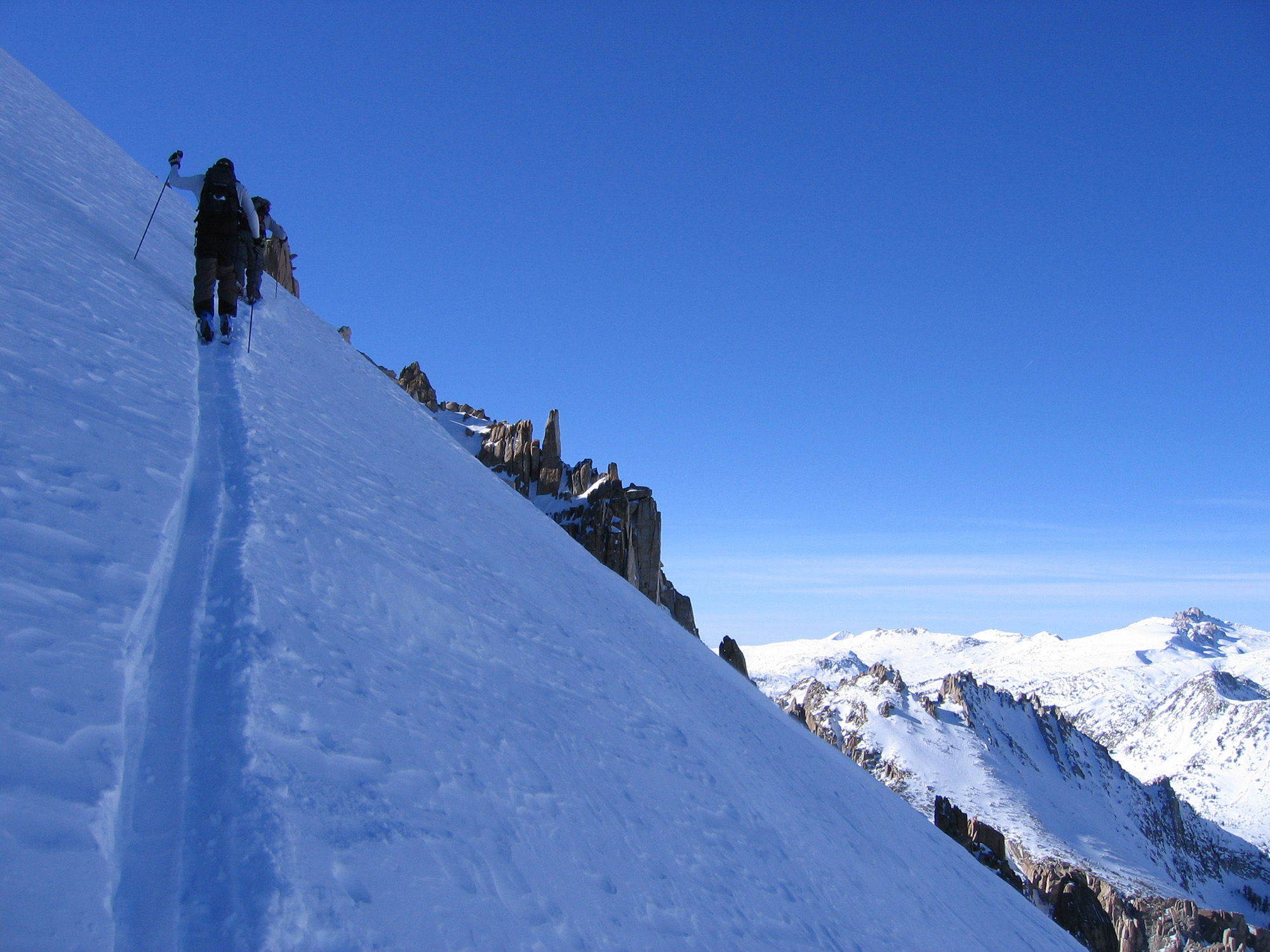
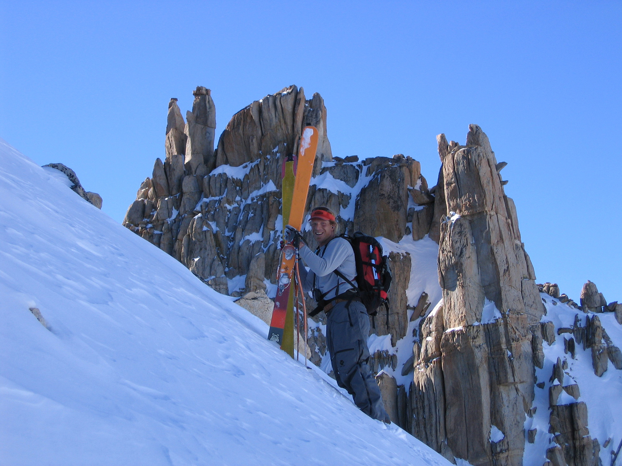
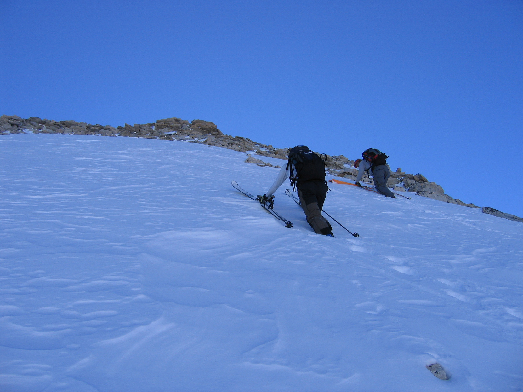
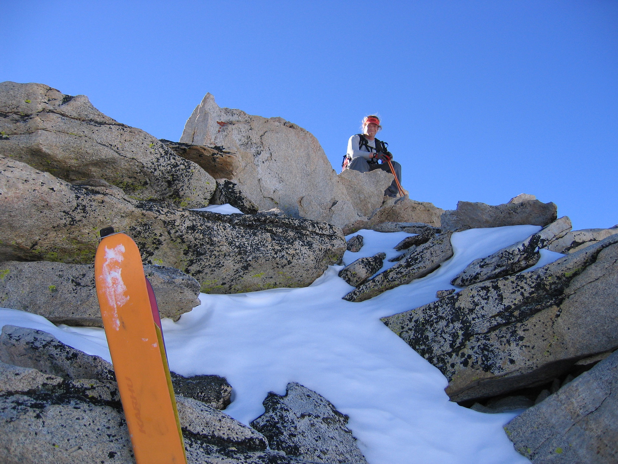
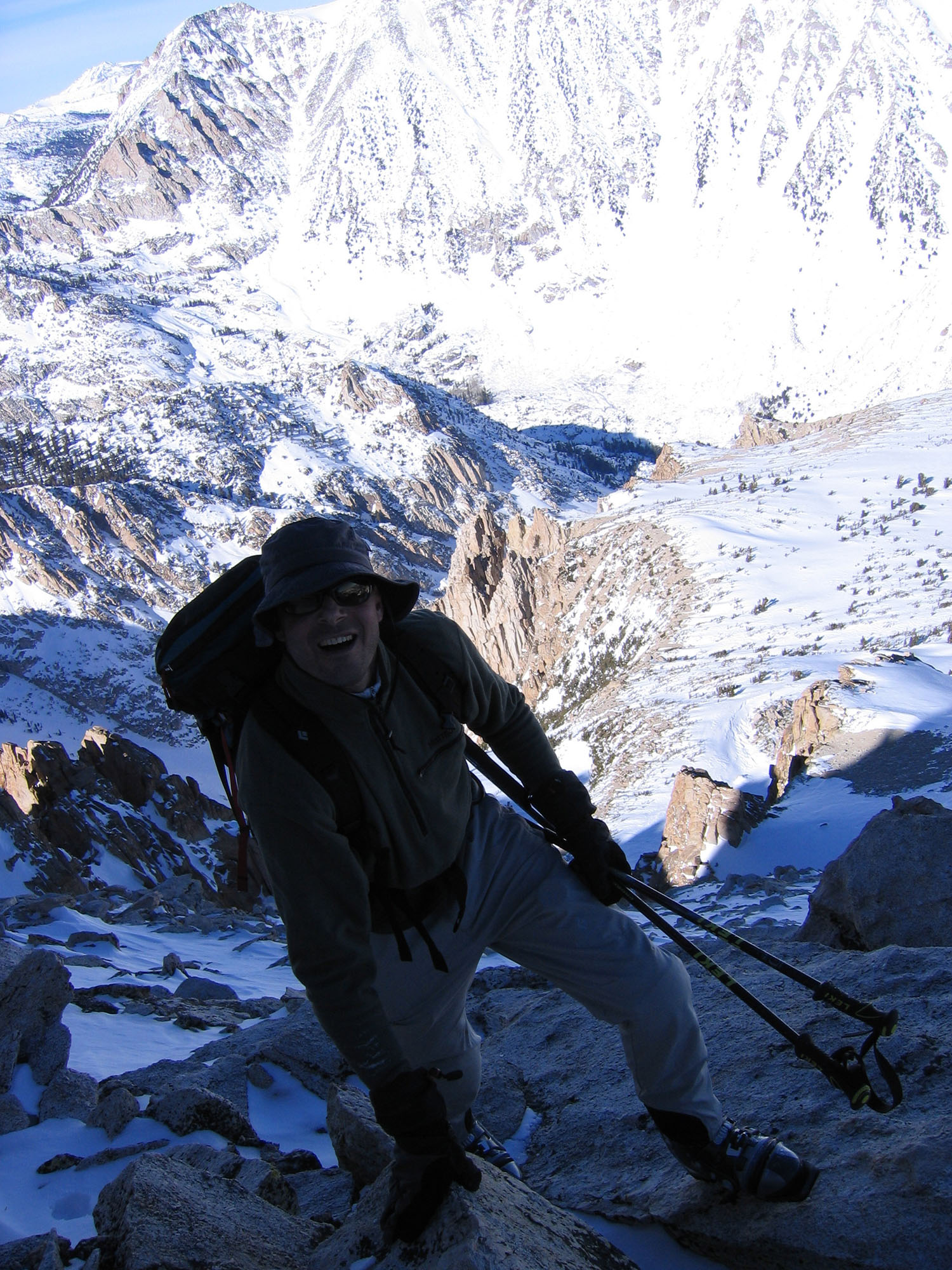
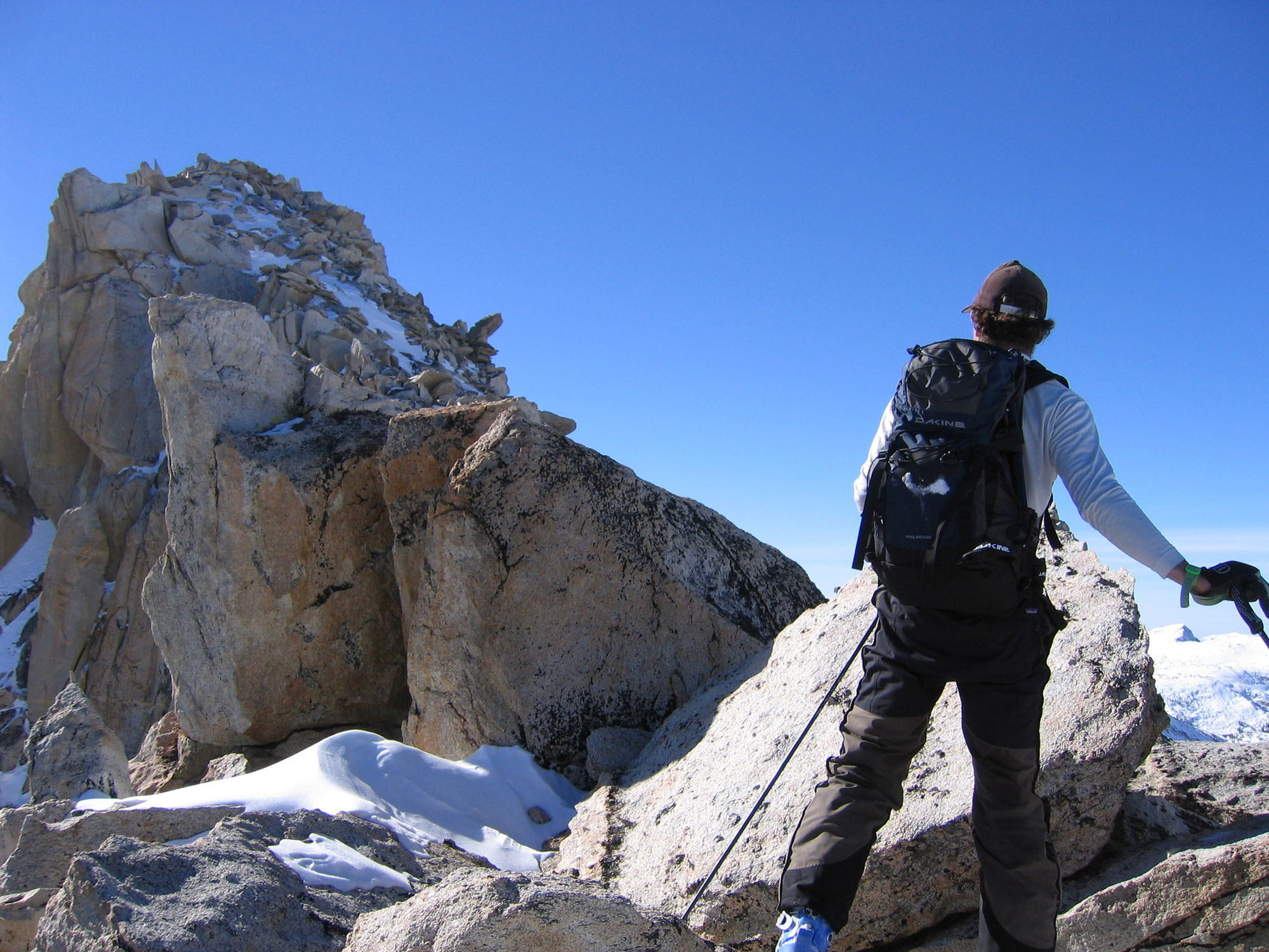
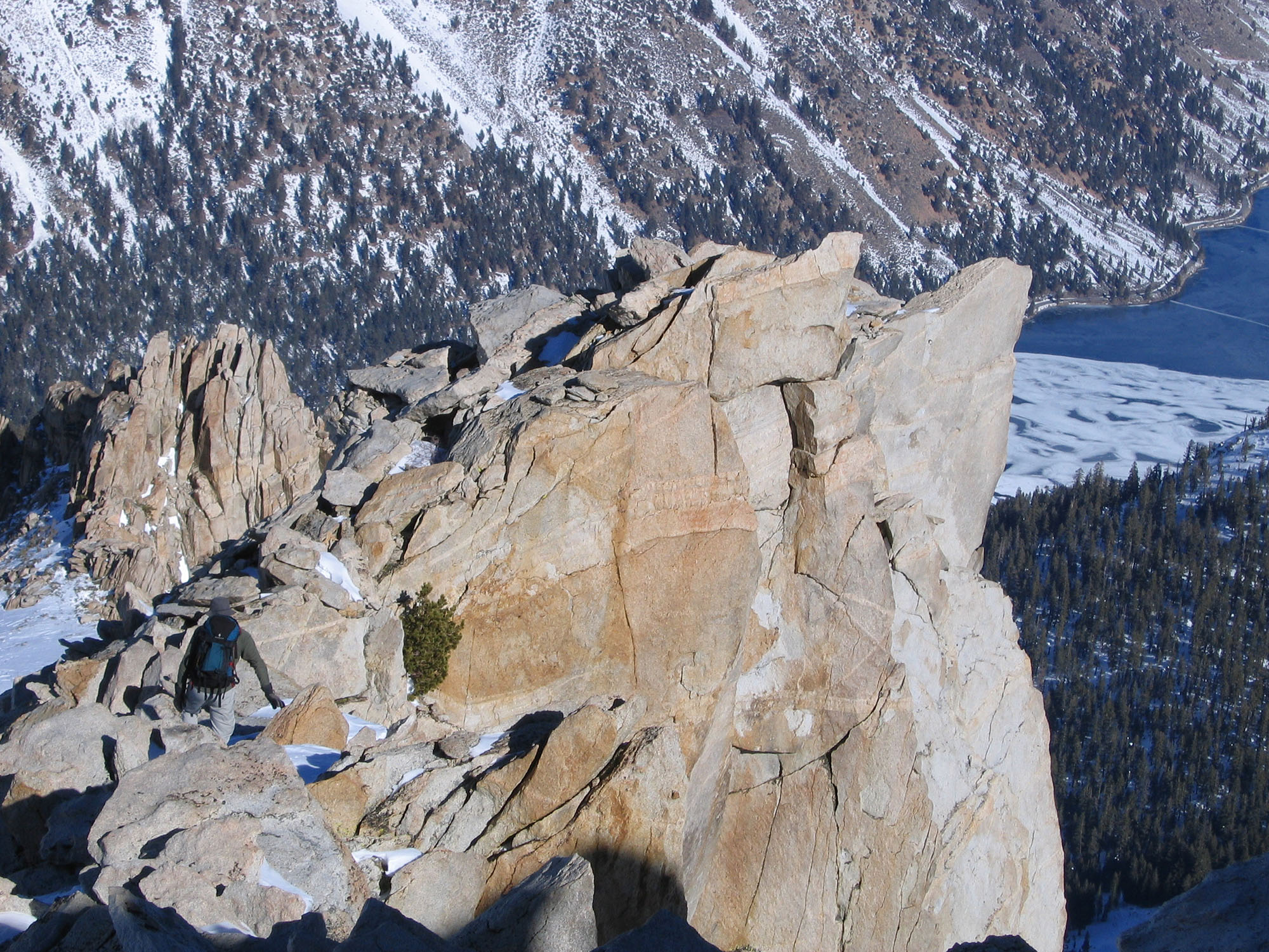
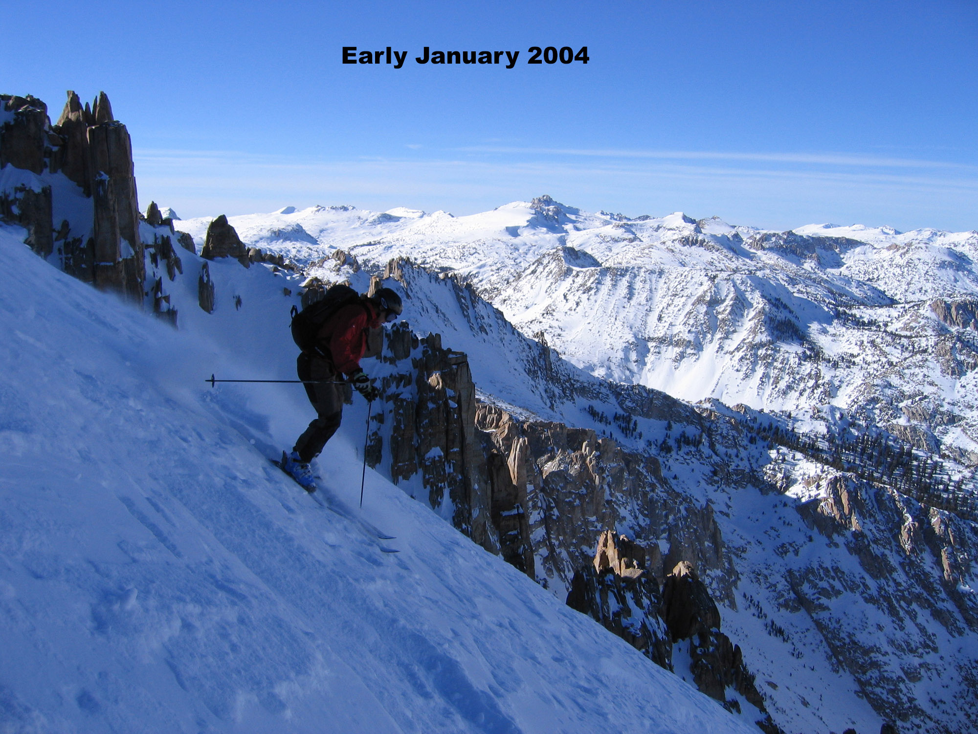
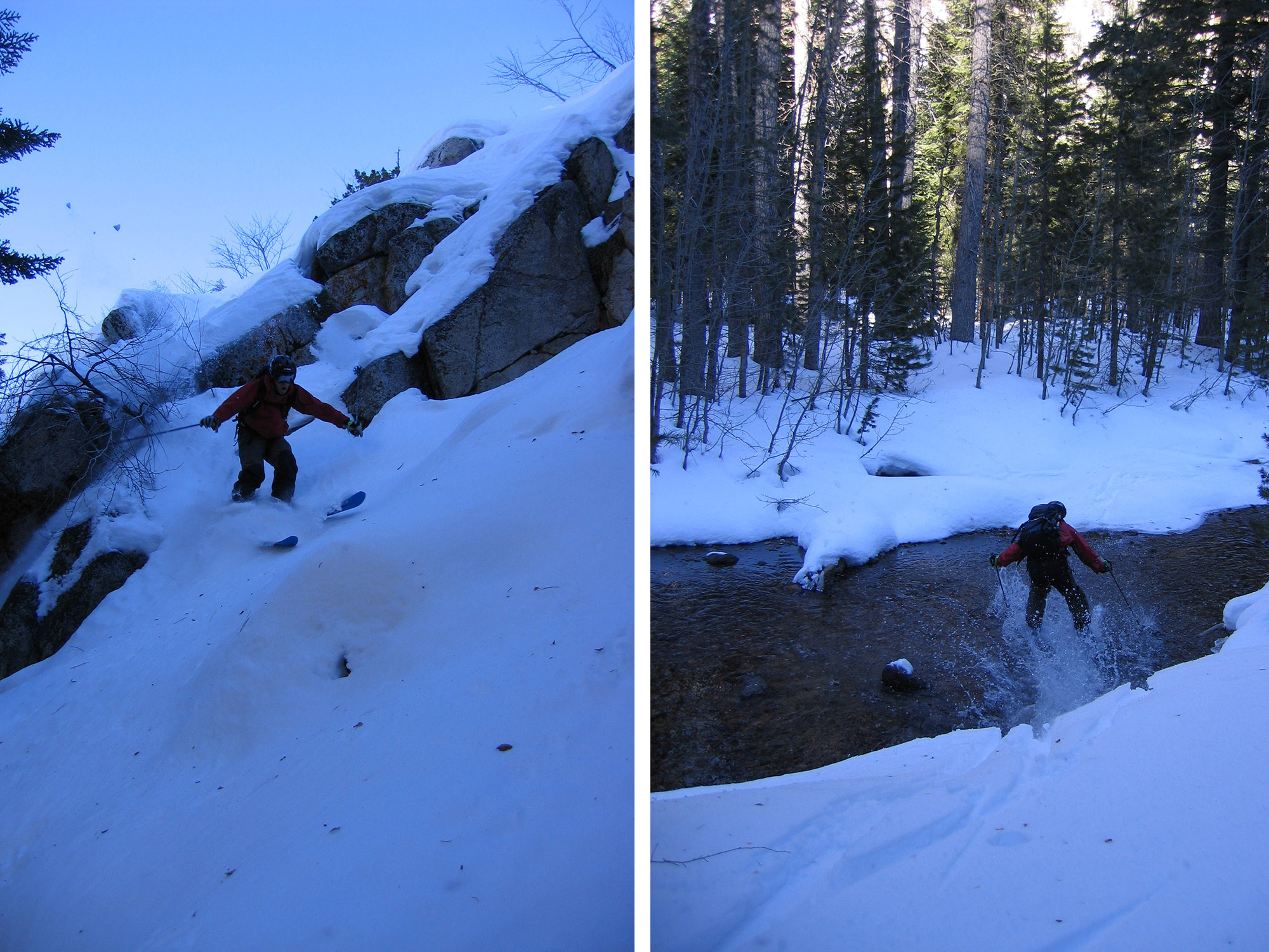
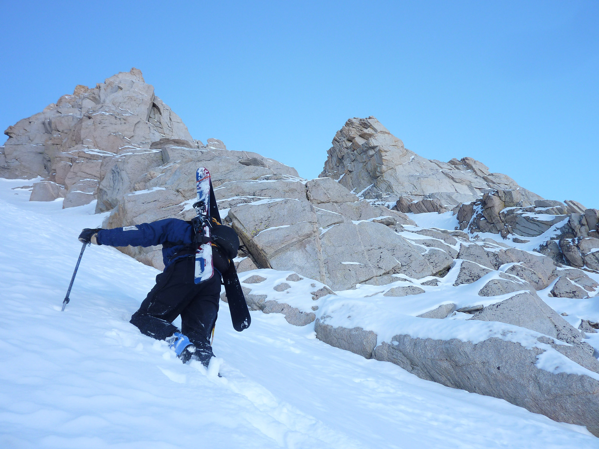
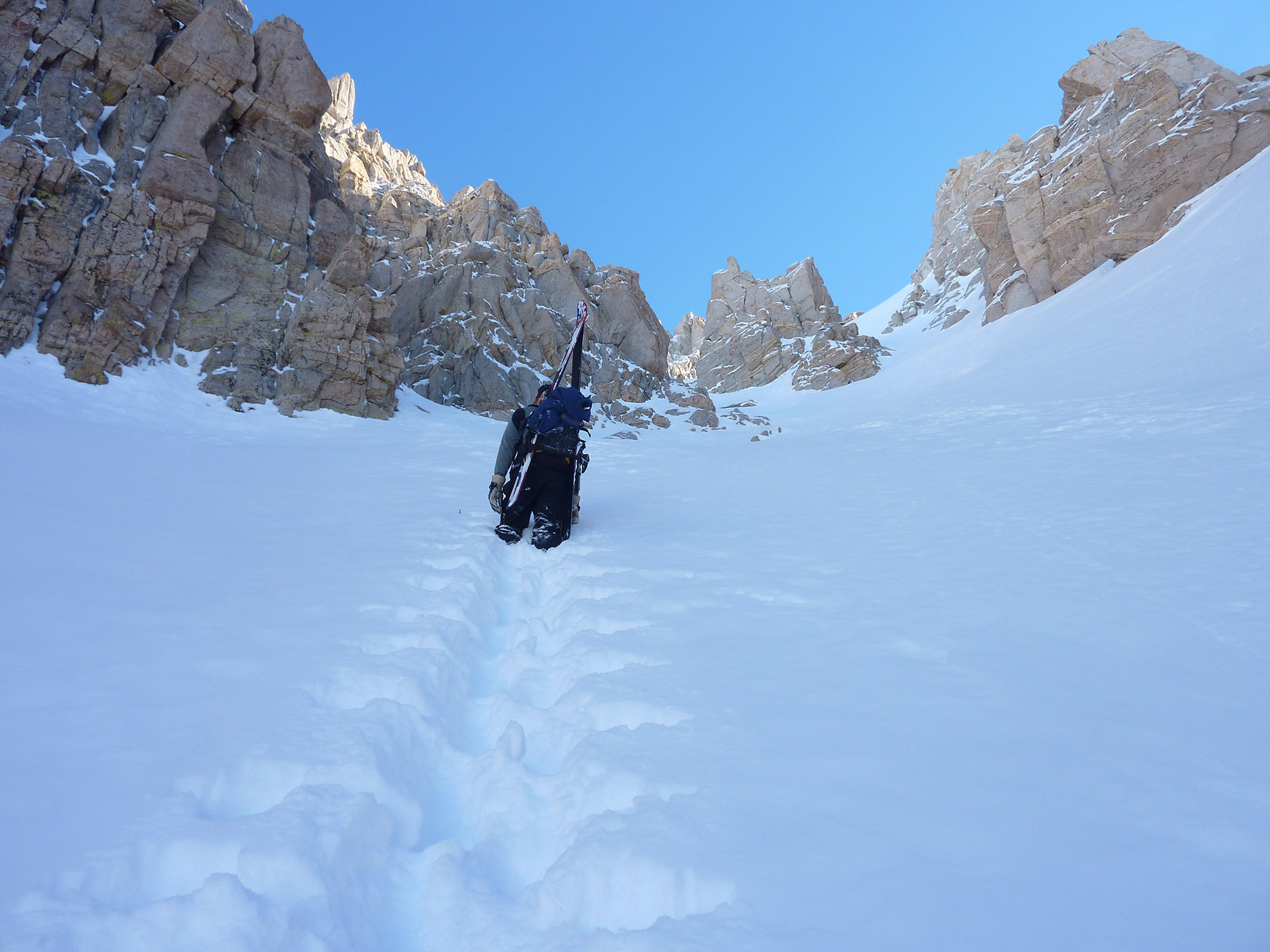
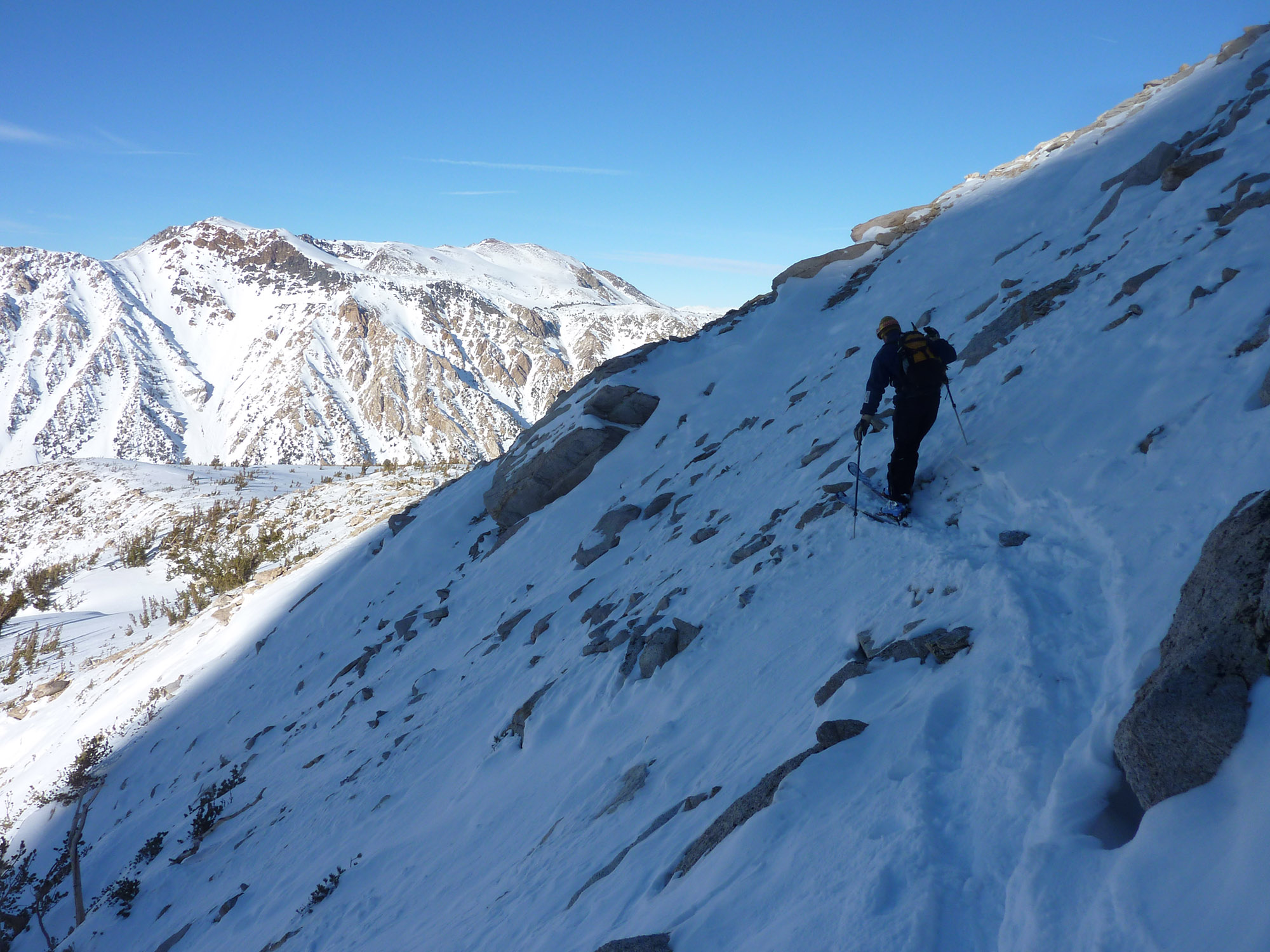
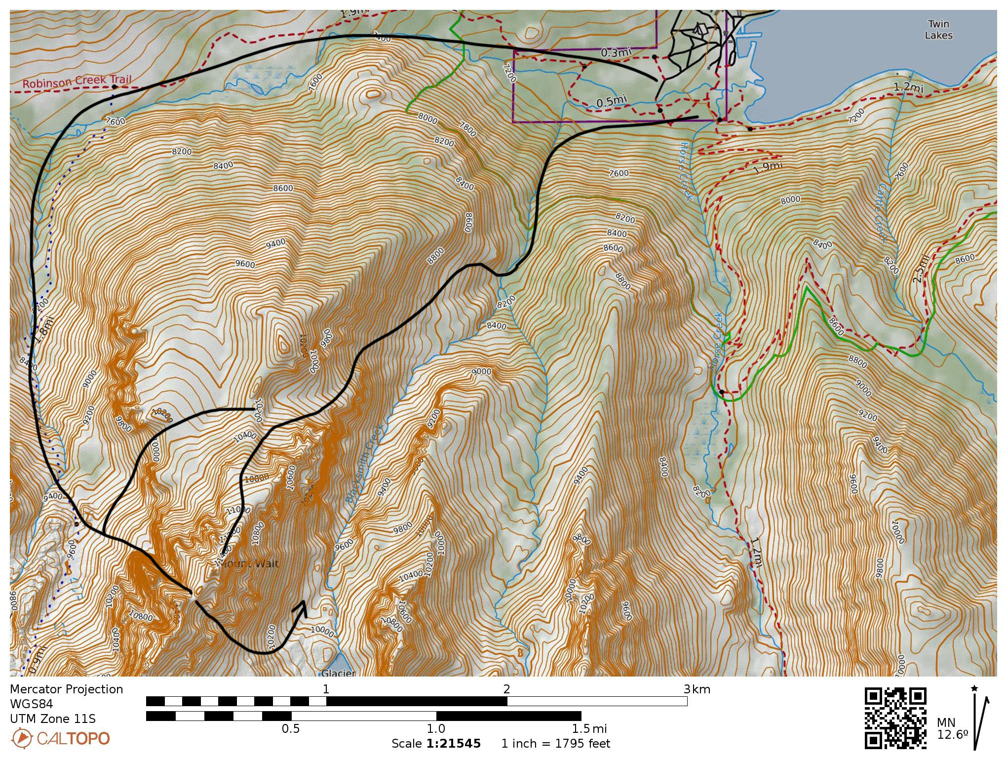
I must have taken slides, because I can’t find my pics from that first day with Will Richardson around 1997. This was our second Bridgeport Peak. You have to ski Matterhorn first of course. I went back in January 2004 with John Crus, Scott Shield and Roger Slavin to repeat this same guidebook route that you can make out right from the start. Scoot across the campground and cross the bridge on the west side, basically just past the bathroom building. Follow Robinson Creek north for a few minutes and stay low and get into the mouth of Blacksmith Creek Canyon. Immediately you will start traversing steeply uphill on the right for about 1000′ to a bench with a view. The only path of snow above the scenic bench will veer left onto the east ridge of mt. Walt. The top gets pretty steep and leads to class 3 rock. The few times I went up this route we did not try to climb to the actual summit, but we got close. I didn’t do a lot of rock climbing back then, and might see it as easier now. I’ll have to go back! I don’t usually push into class 3 in ski boots on a cold January afternoon. A reason to go back. I recall a Mammoth Patroller died in a wind slab avalanche while crossing the lower face right above the Blacksmith Canyon Floor. I remember John Crus and i were down in the region on that day. There was recent new snowfall, and it was so ridiculously windy, we choose to not even go skiing that day. It was an odd place for a wind slab to grow that big, but the slope is pretty damn steep.
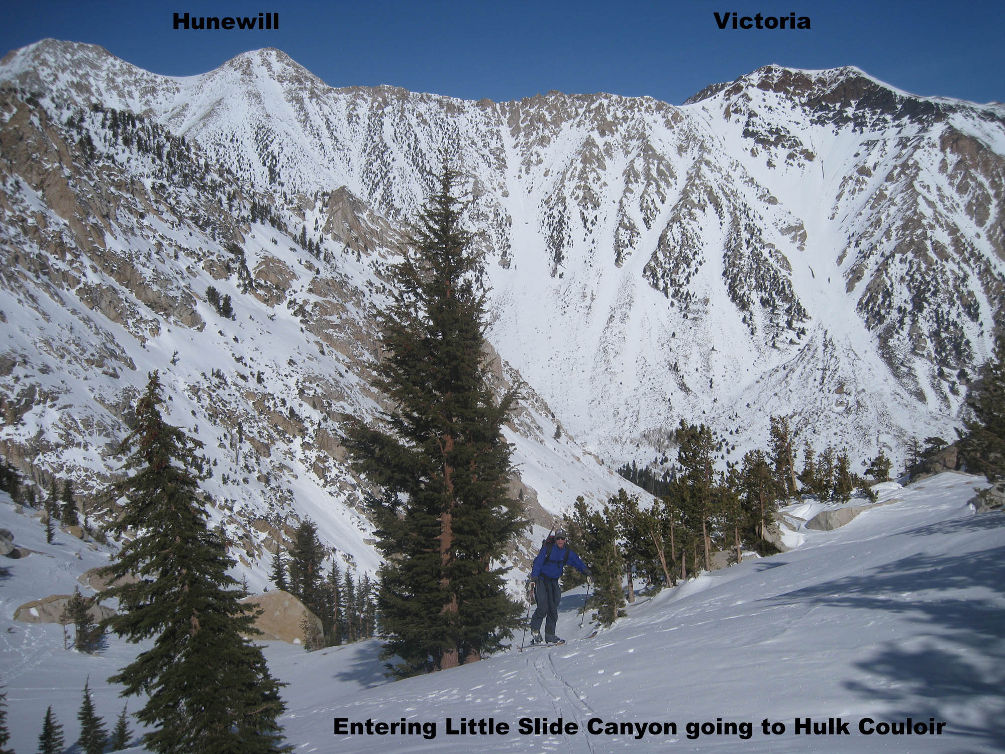
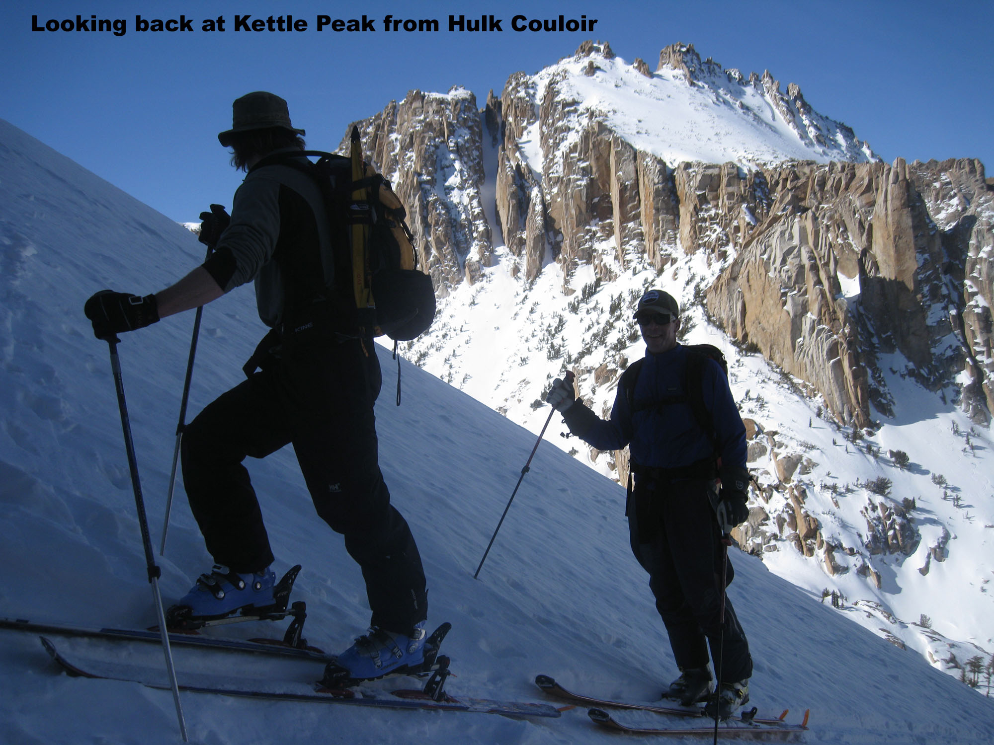
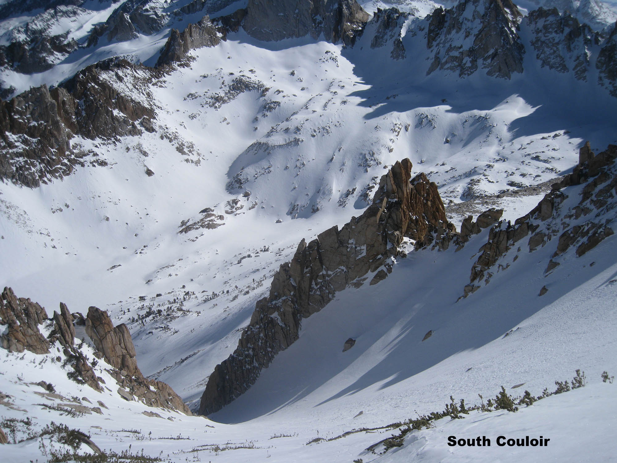
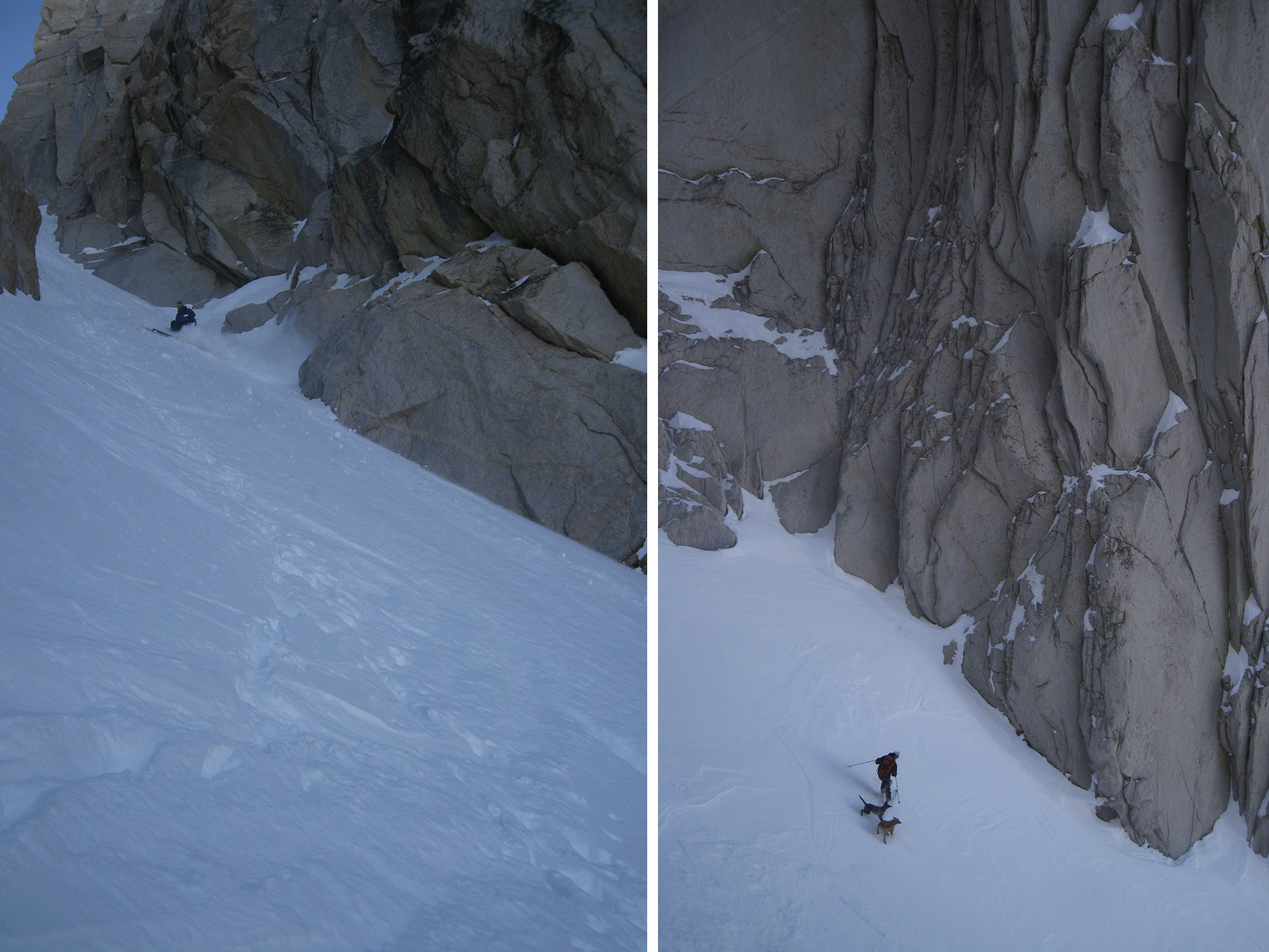
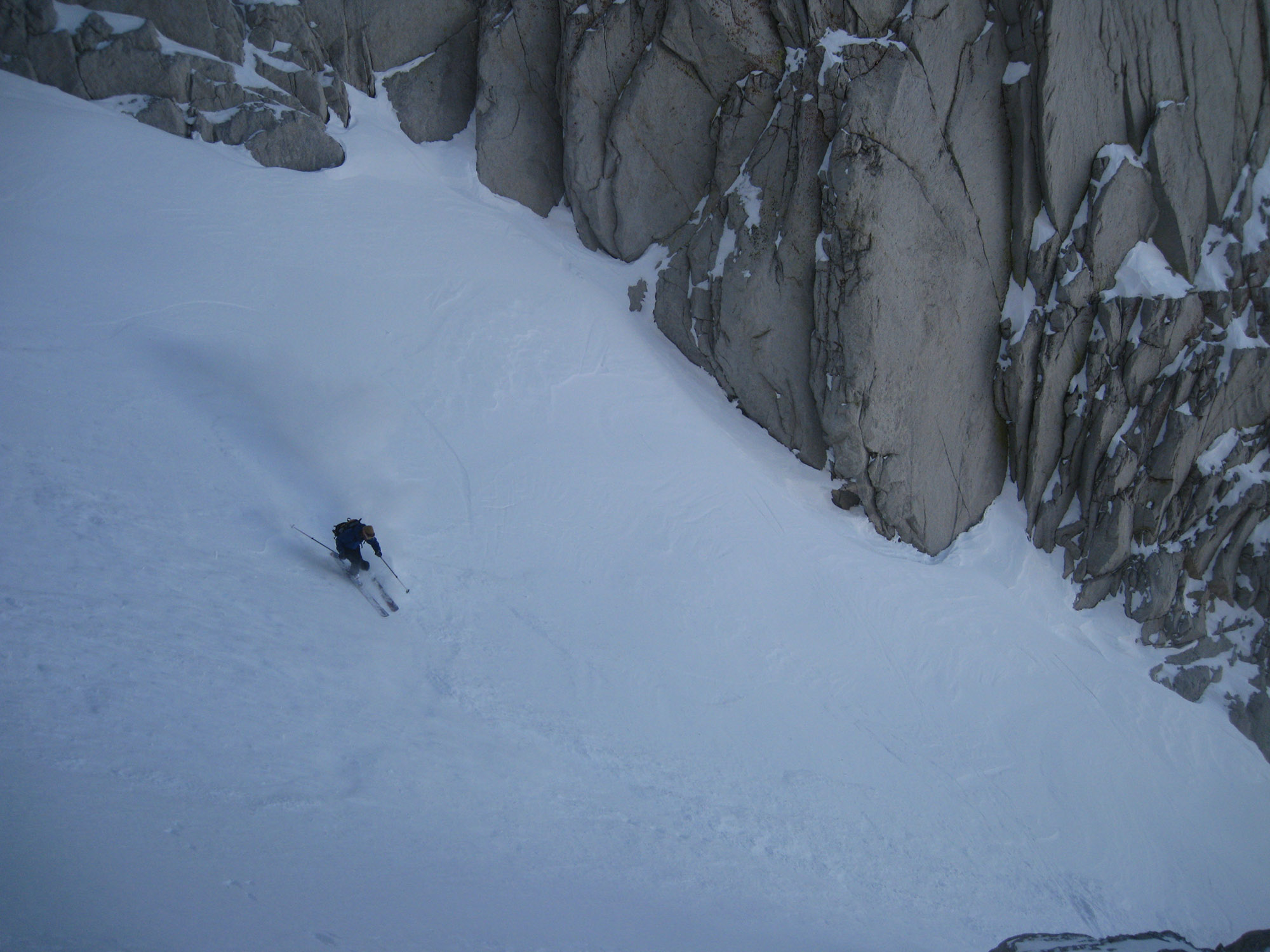
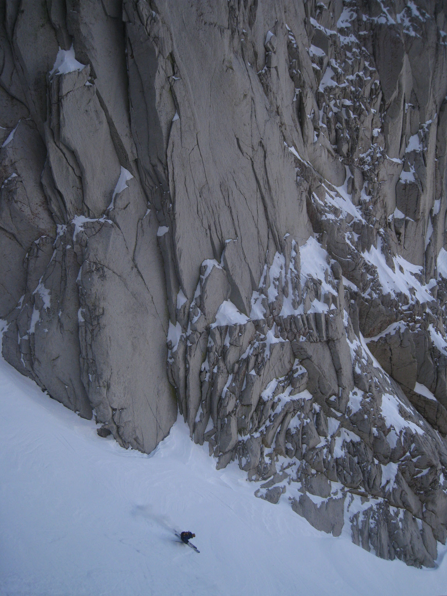
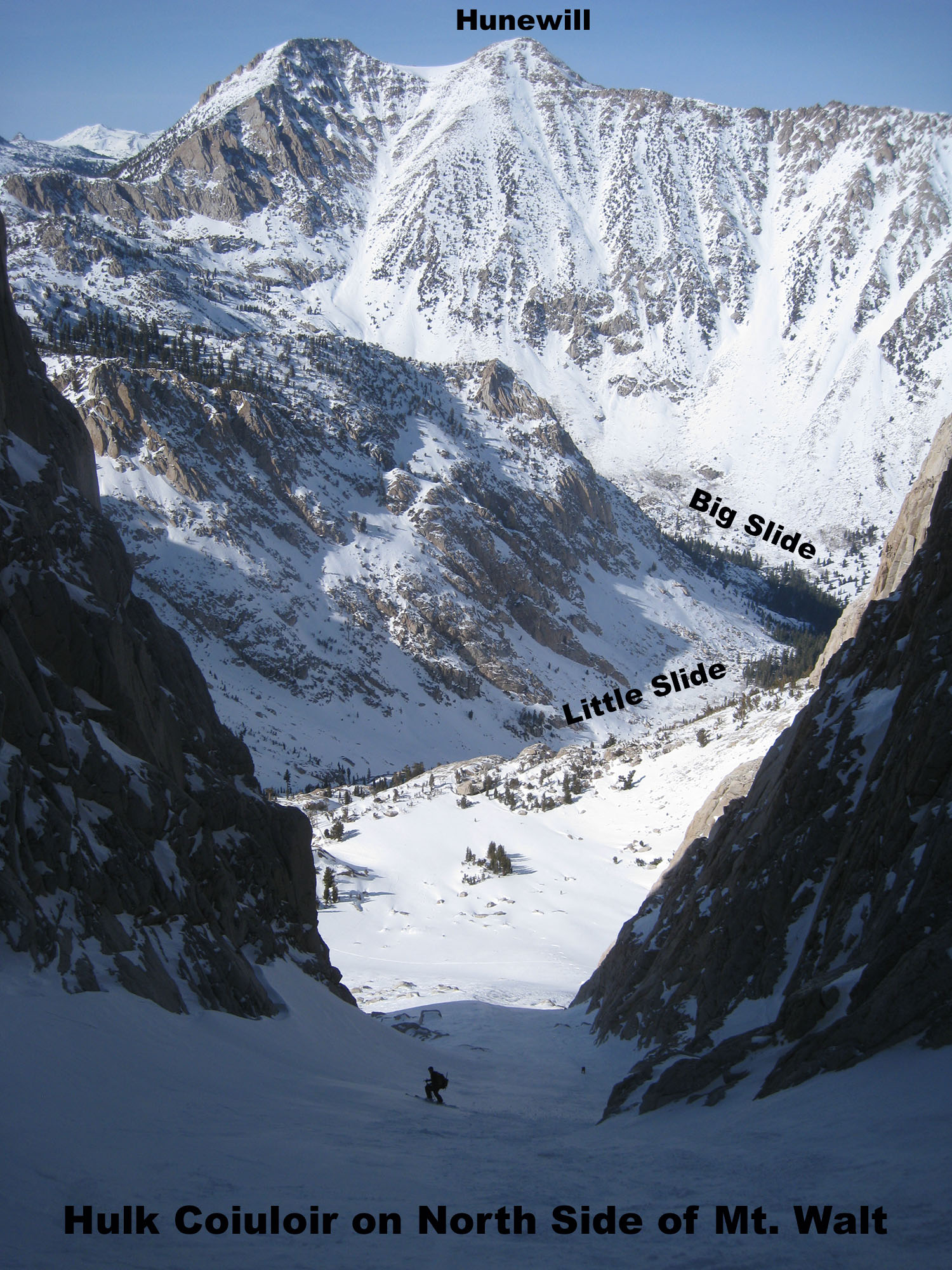
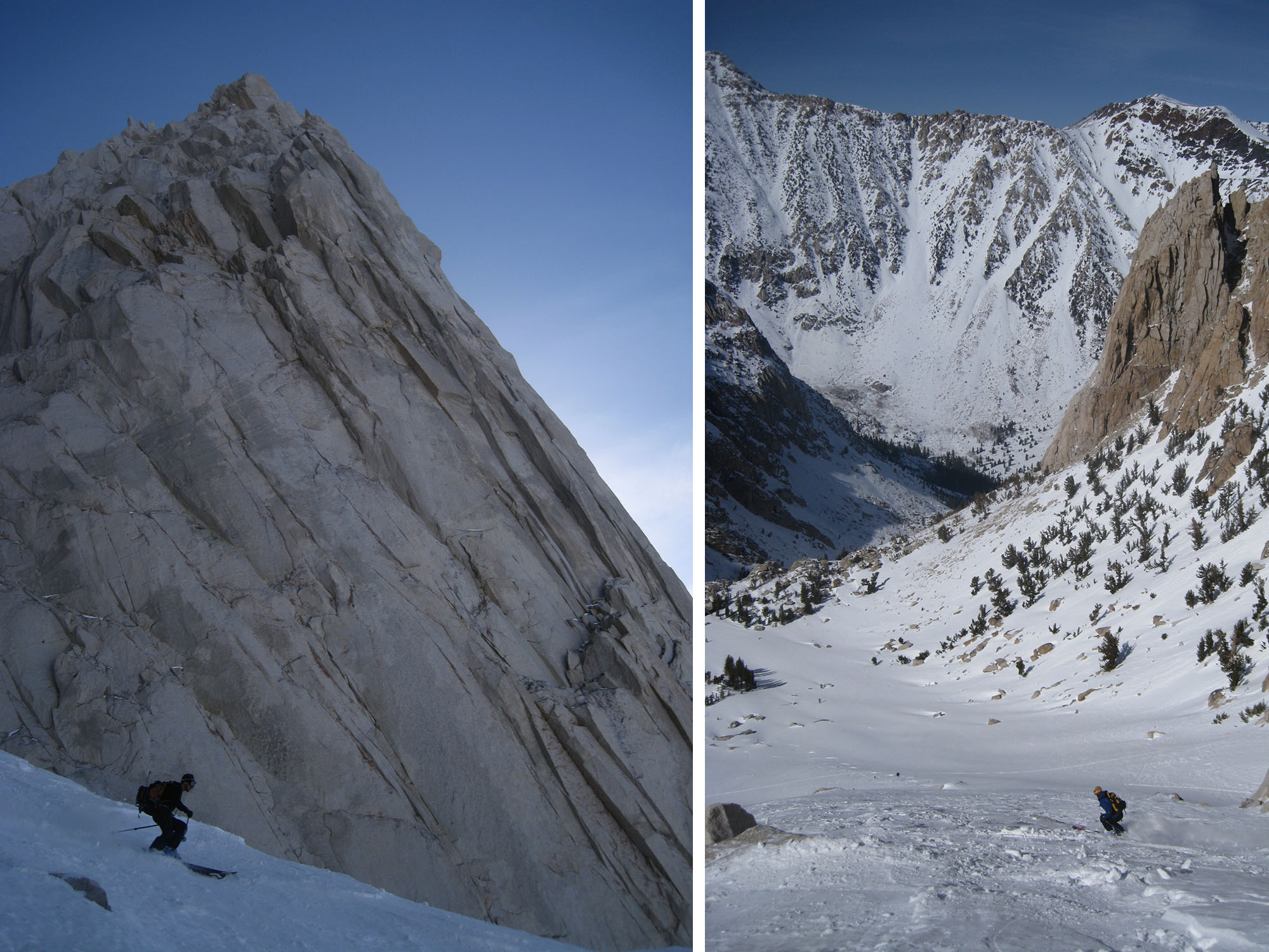
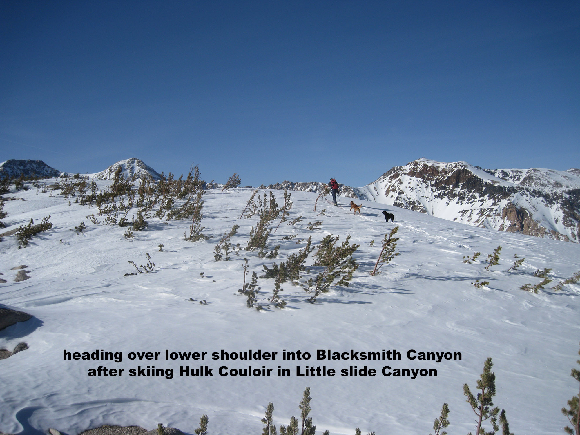
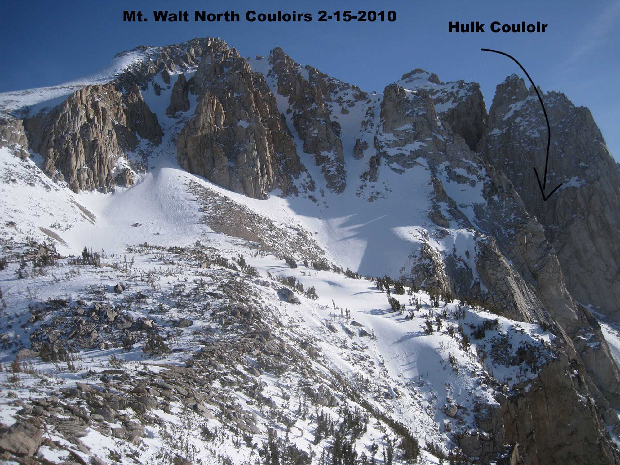
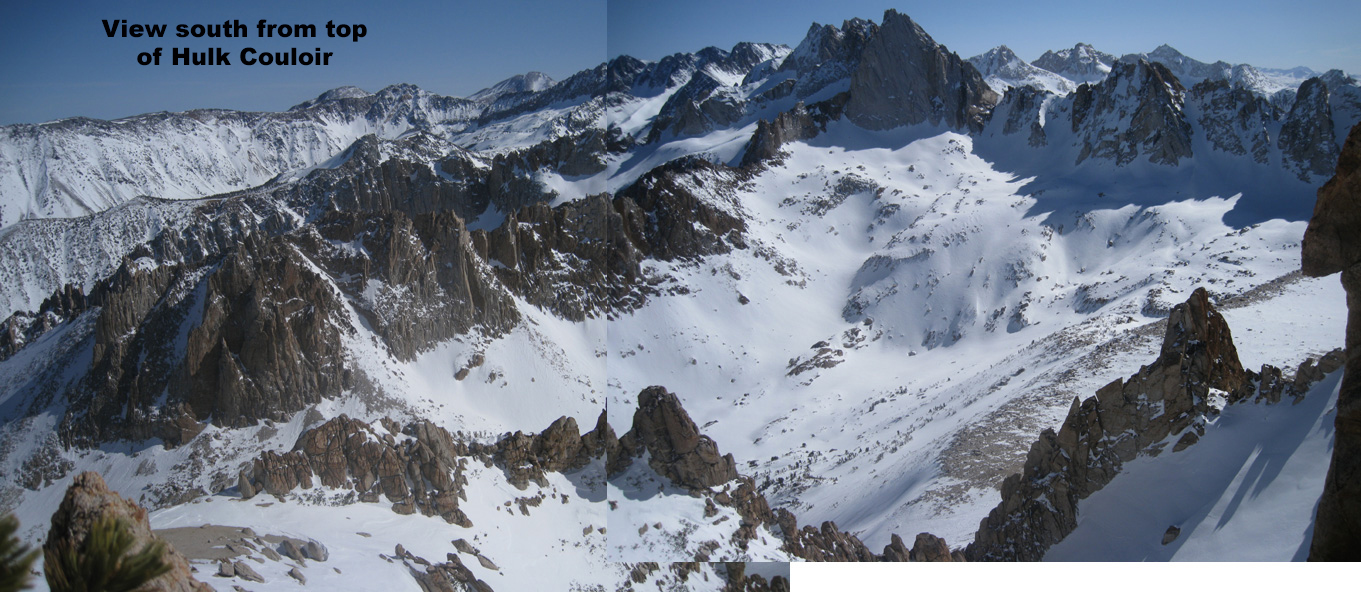
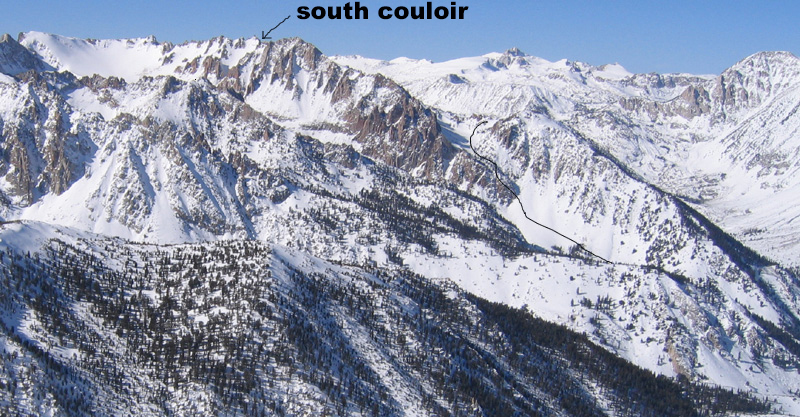
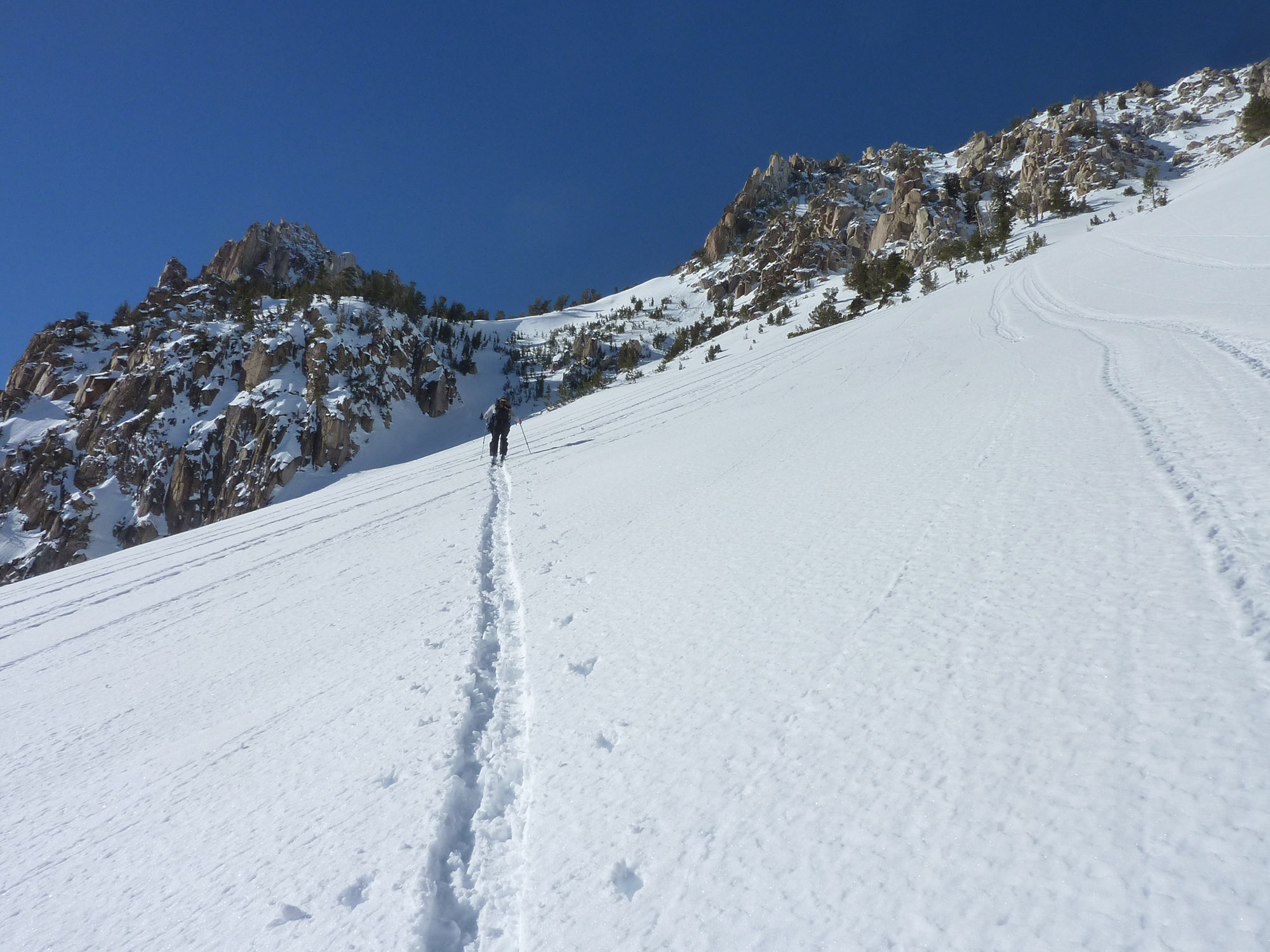
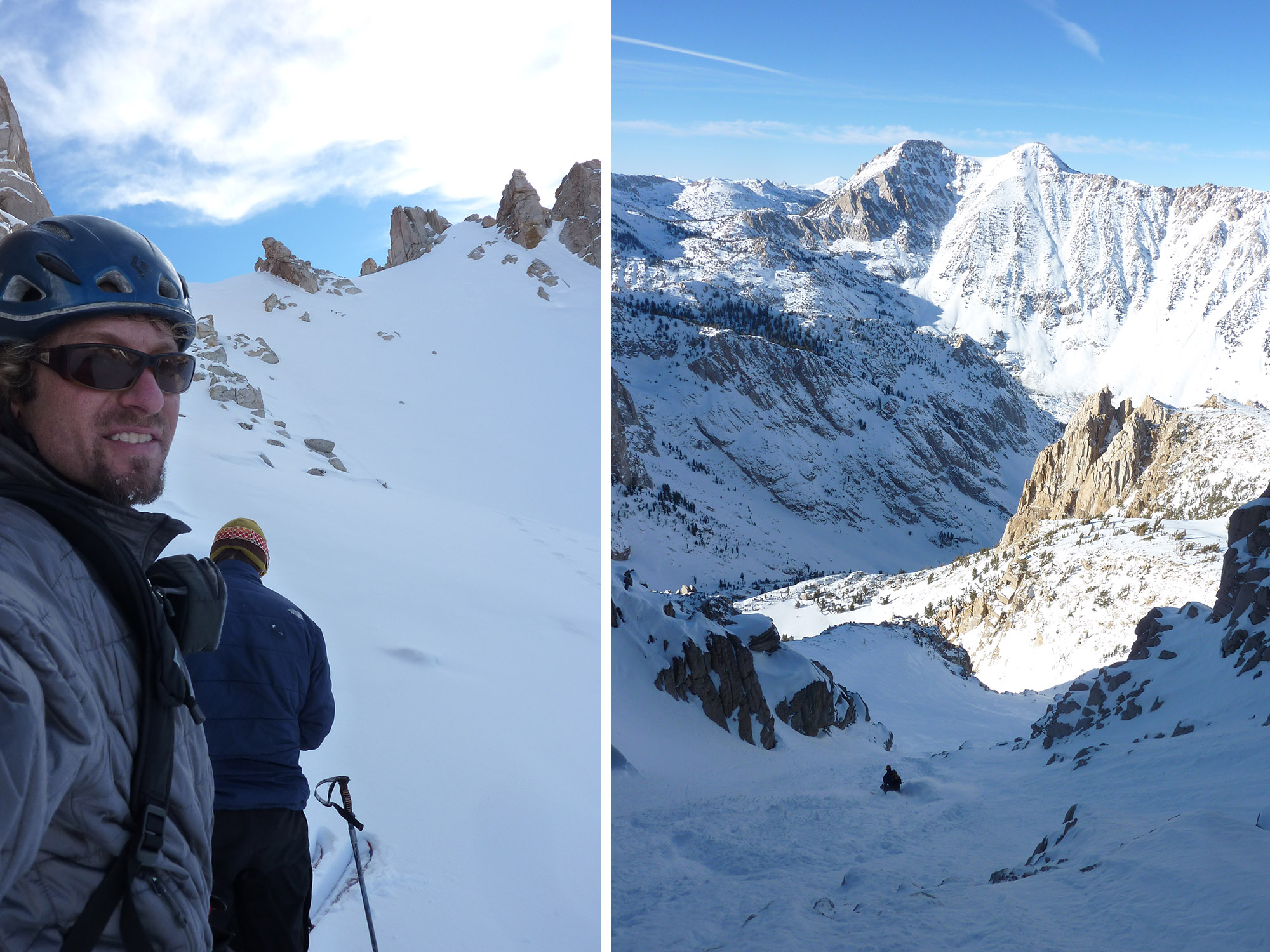
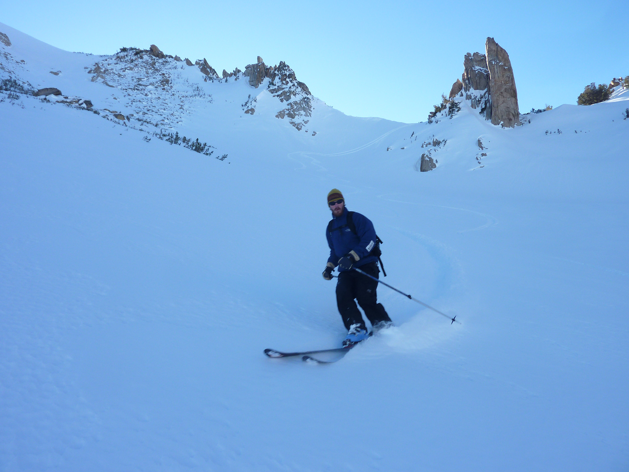
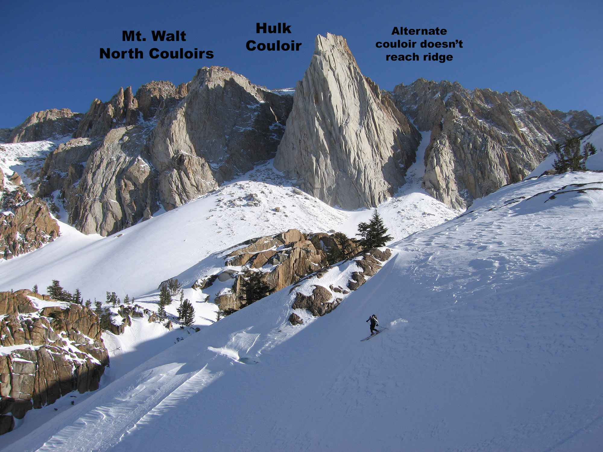
Most people who ski on Mt. Walt wouldn’t actually know they are on Mt. Walt. They are touring 4 miles up Big Slide Canyon and banging a left into Little Slide Canyon to access the Hulk Couloir. This dark and narrow beauty is not crazy steep or long, but it looks really dramatic tucked in beside the Incredible Hulk Massif. The Hulk Couloir tops out on a nice small col and feeds you the sun you will need by the time you grovel up through the dark couloir. I’ve only found bad snow in there, which surprised me. I have heard powder happens too. One time it was so bad that we dropped into the south side of the col. It looked too inviting and soft. You can’t see through to the bottom of the South Couloir, and I half expected to have to put on my crampons and hike back up. The lower hidden choke turned out to be easy on that day for us, but you might want to look at the couloir and see if it’s filled in first. This South Couloir dumps you into Blacksmith Creek Canyon. I guess you could climb it too and drop into the Hulk Couloir if it doesn’t soften into Corn Snow. So, I have described a loop basically from Little Slide Canyon to Blacksmith Creek Canyon, using the Hulk Couloir Col.
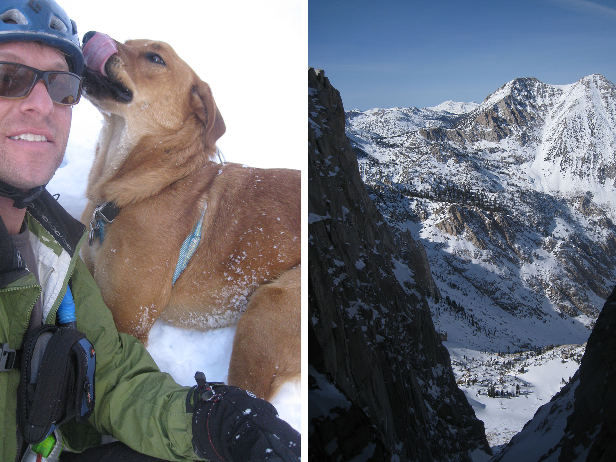
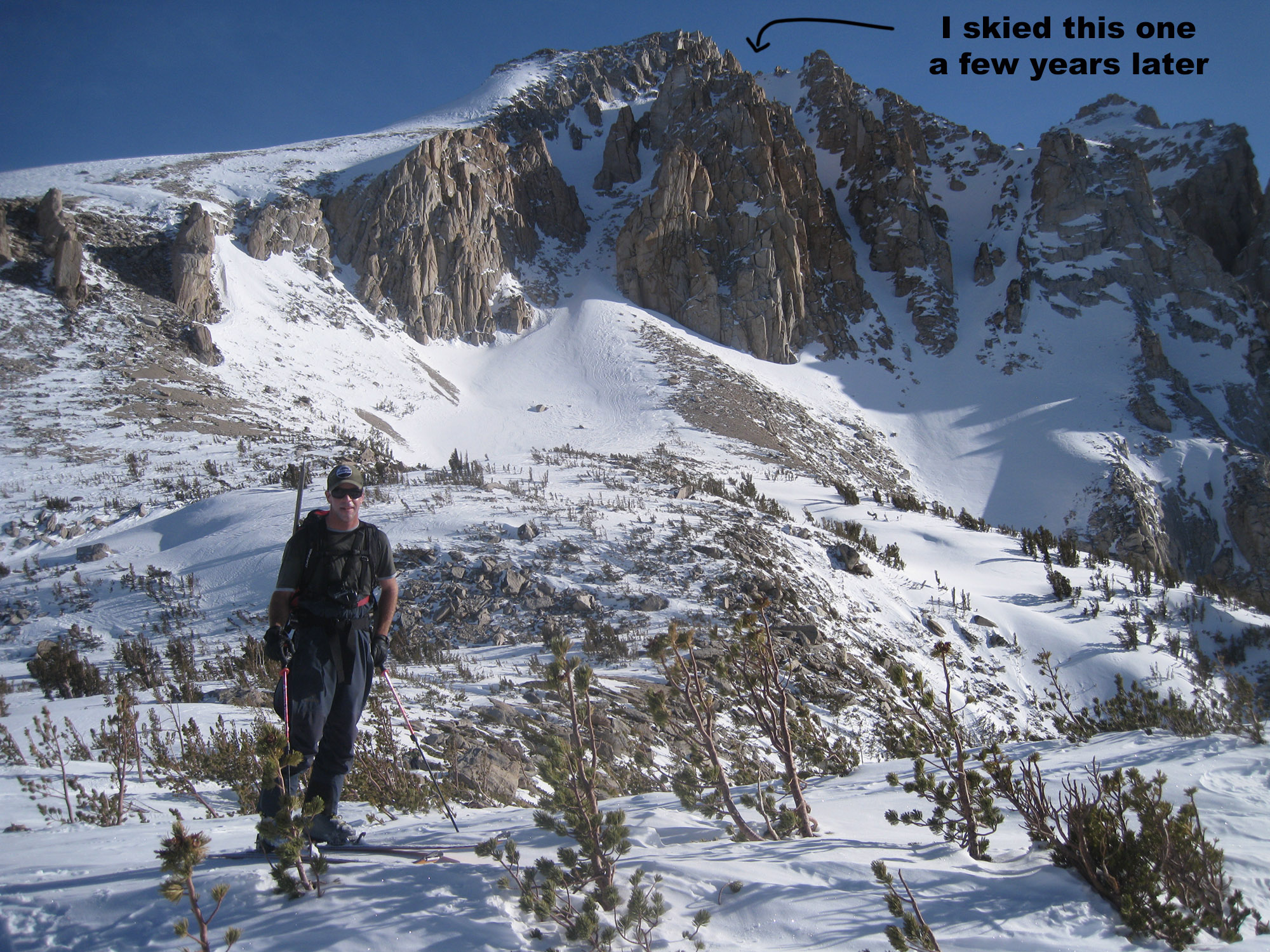
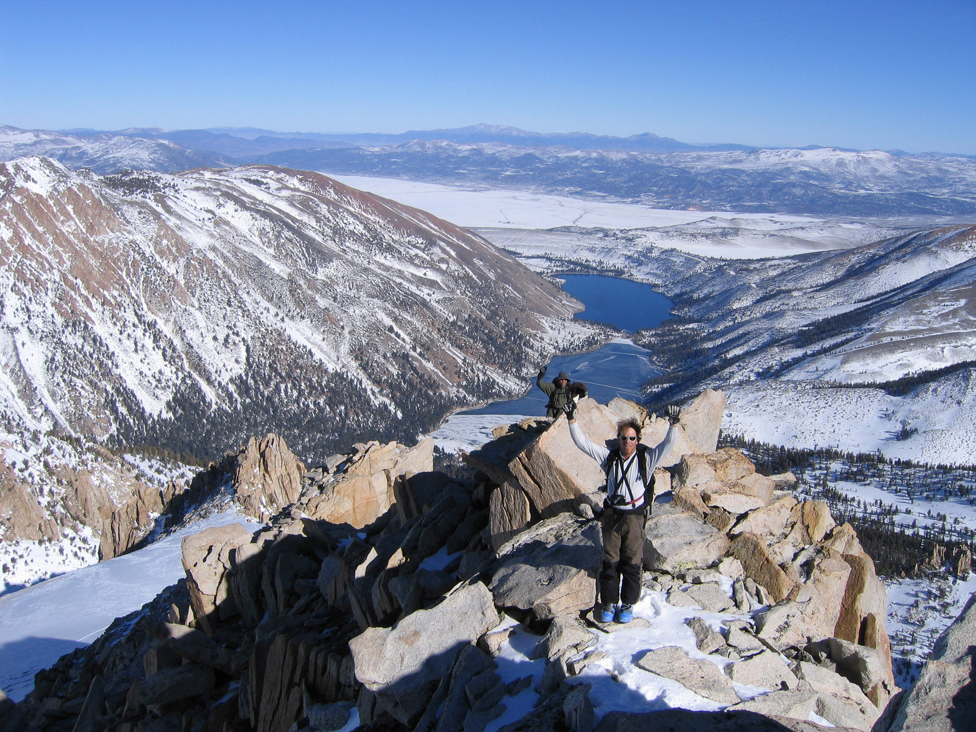
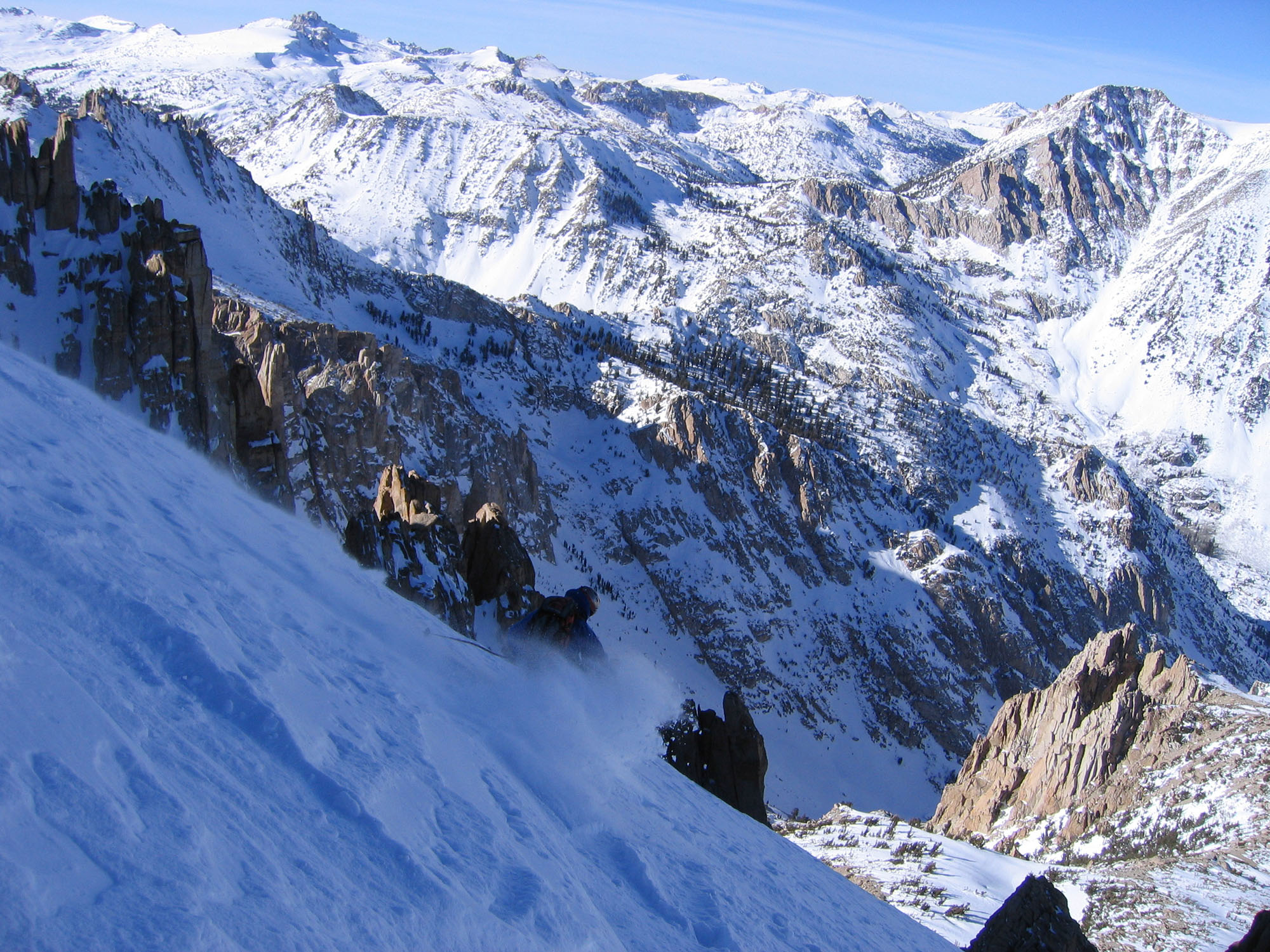
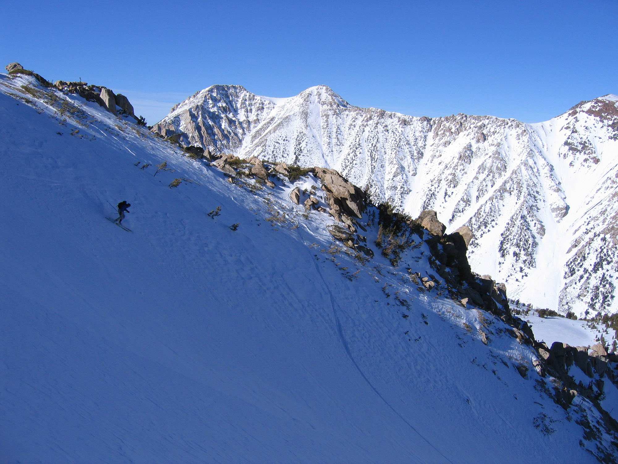
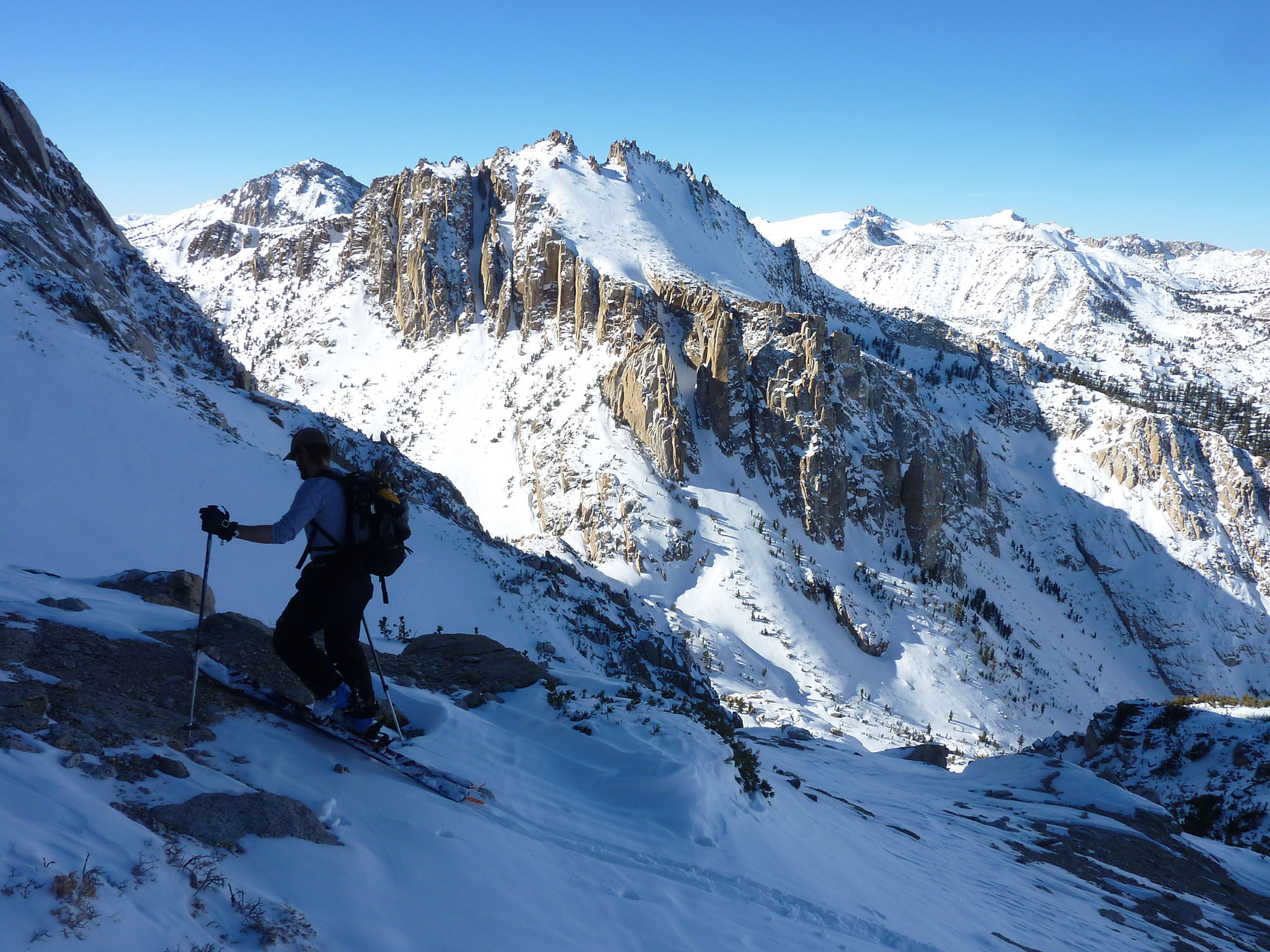
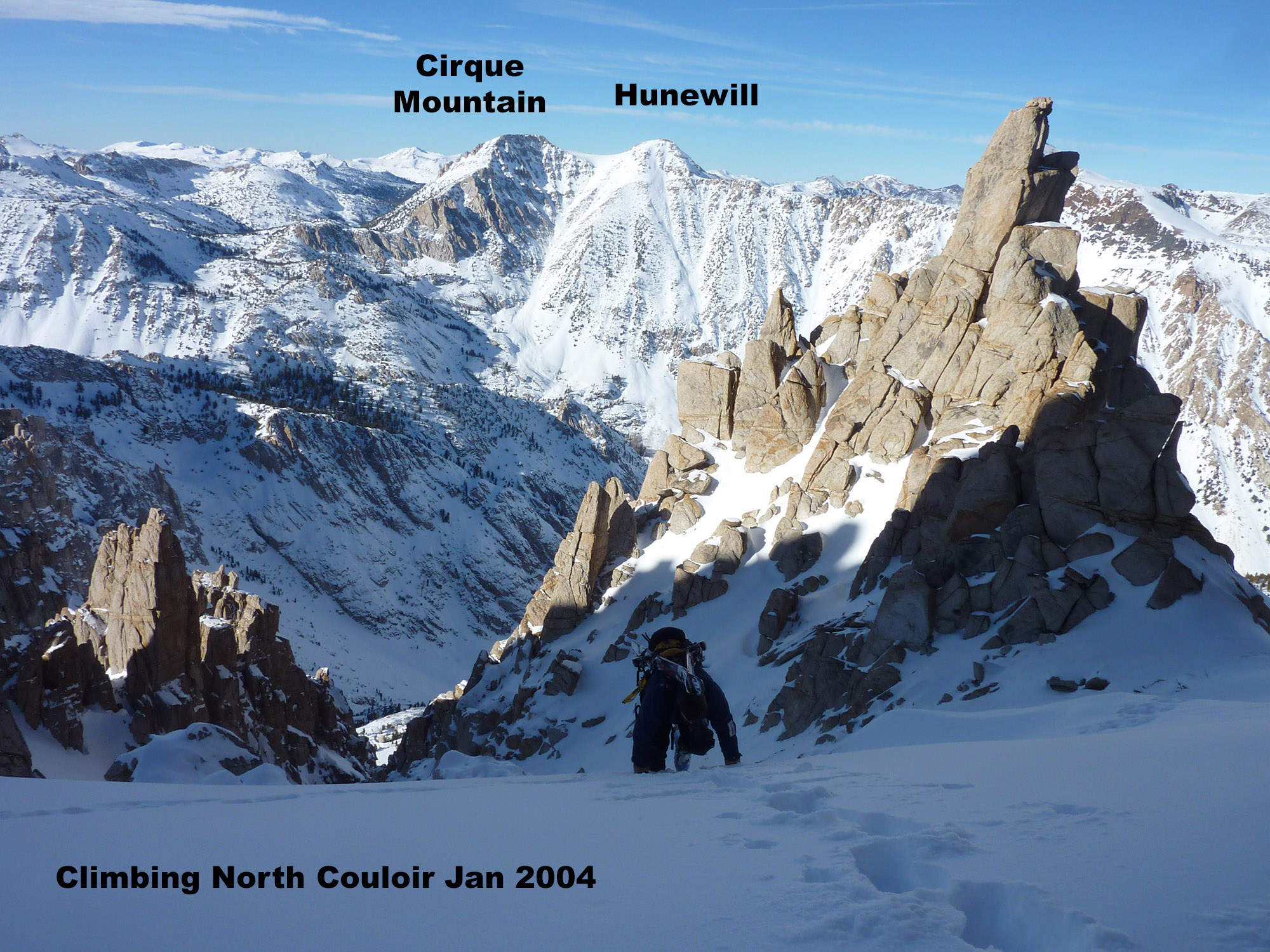
Greg Loring and I discovered a way to skin back from the Hulk Couloir without having to retrace the flat Big Slide Canyon morning approach route. Without dropping much elevation below the Hulk Couloir, we traversed into a nearby slope that may have felt like a chute really, and with a short steep skin we were on the scenic bench. We knew this spot from the previous standard route. From there we just dropped into Blacksmith and down to the car more directly. During this exploratory return route, we stood under the impressive north couloirs of Mt. Walt, which I had also photographed from Hunewill Peak. We knew we were coming back to do the middle one, which was on a cold early January day in 2011. We didn’t try to get to the summit of Mt. Walt on that day either, it was cold and scary up there and not a place to go fooling around in ski boots with limited daylight left. I bet we were close to the same spot I turned around on the east ridge a few times in the past. Today I would have a Gaia GPX track and know what I’m talking about. Although I have played on and around Mt. Walt quite a bit, I really don’t comprehend the actual summit location or difficulty.
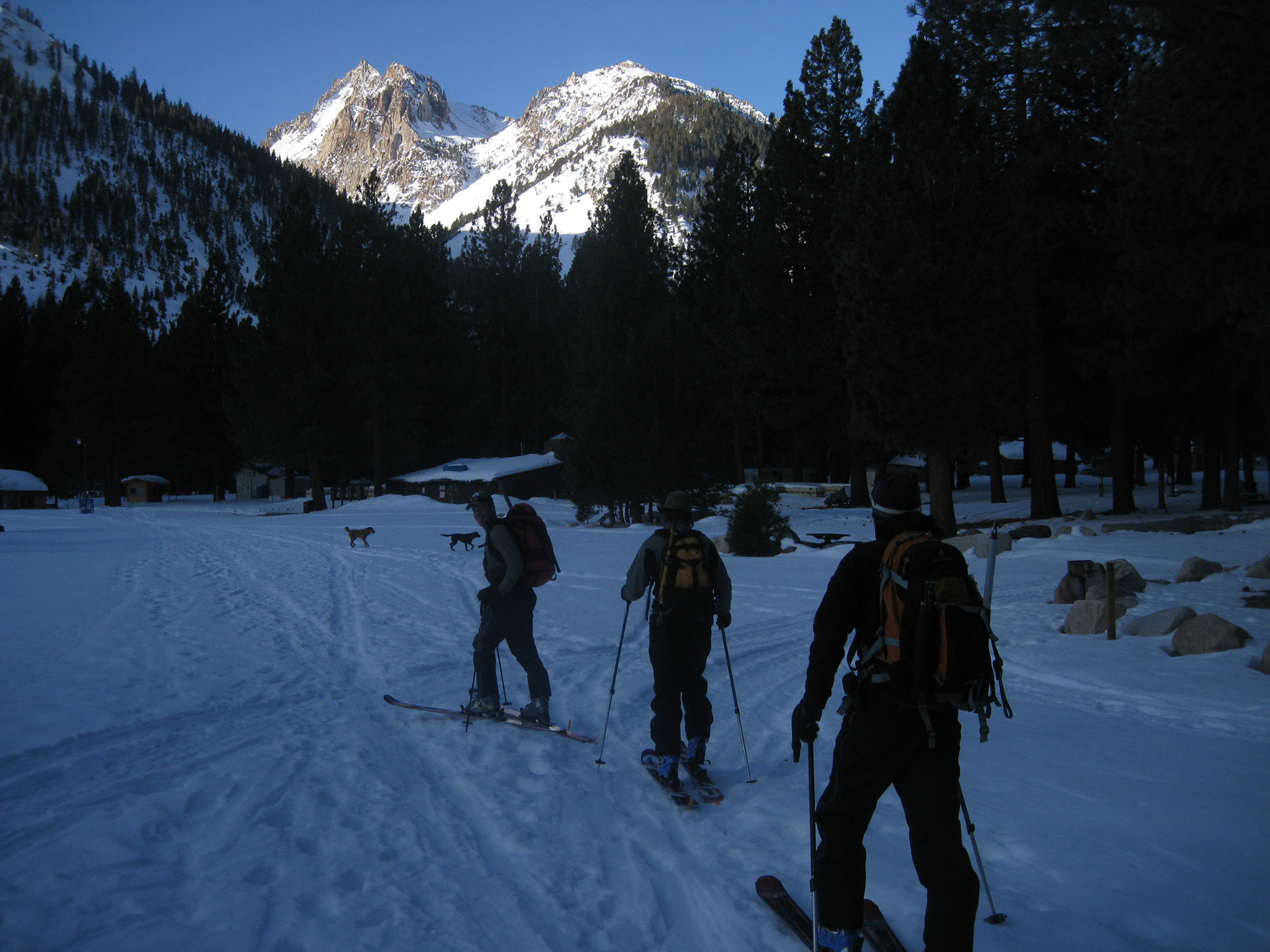
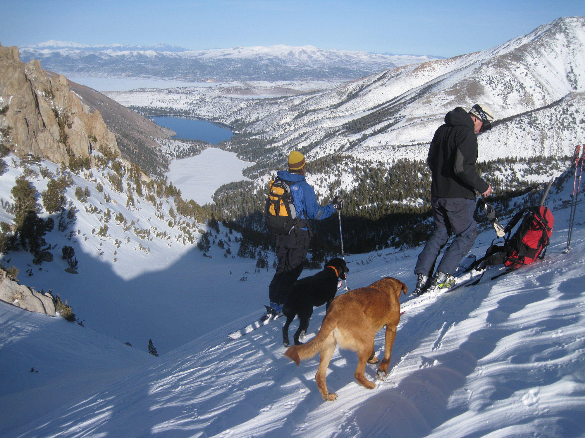
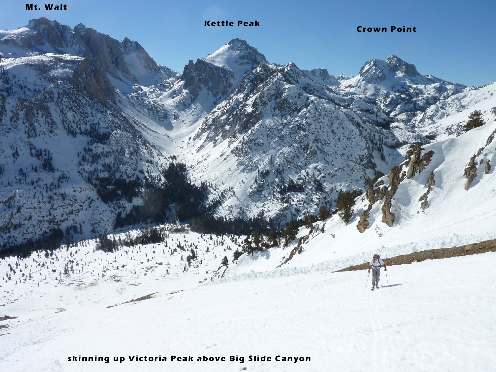
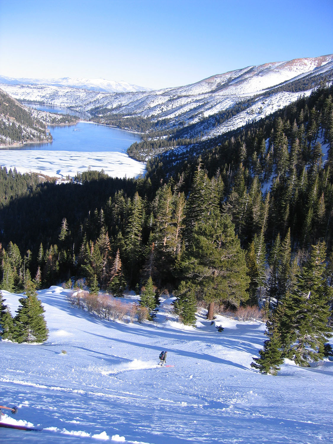
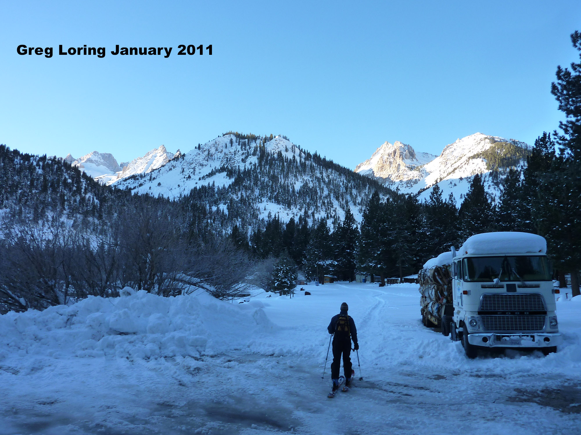
I love how you can see most of the peaks in this area while you are on each one. Twin Lakes Campground (closed in winter) is the hub for 10 or more amazing ski mountaineering objectives, spread throughout 6 small valleys. Only here they are called canyons. Those are Cattle Creek, Horse Creek, Blacksmith Creek, Avalanche Creek, Little Slide and Big Slide Canyons. CARPOOL to this dead-end trailhead, which isn’t an official parking area of course. Signs say no overnight parking. Don’t make a scene there or wander around the campground. Employees live in the house right at the campground gate throughout the winter too. It would be best to sleep a few miles away, or even in Bridgeport.
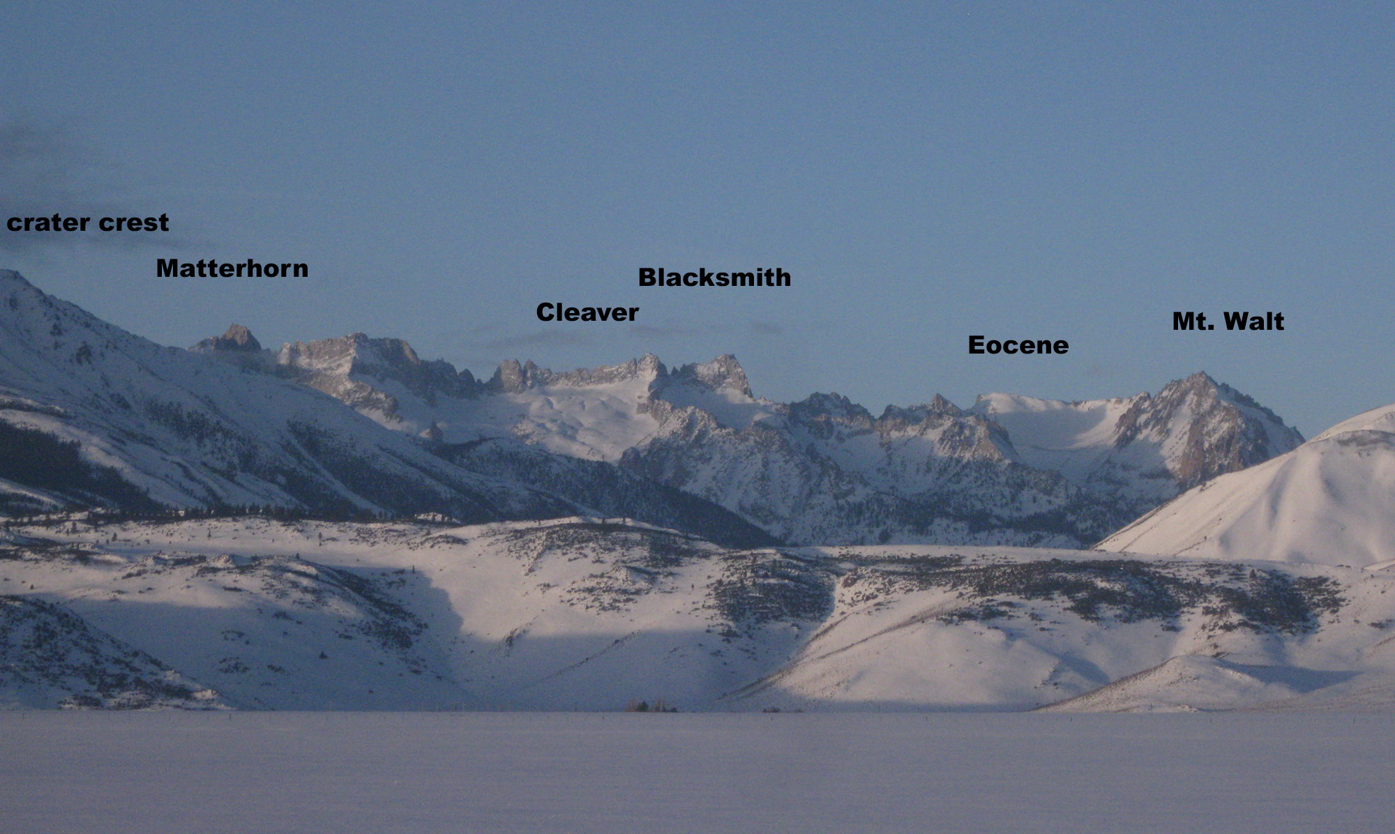
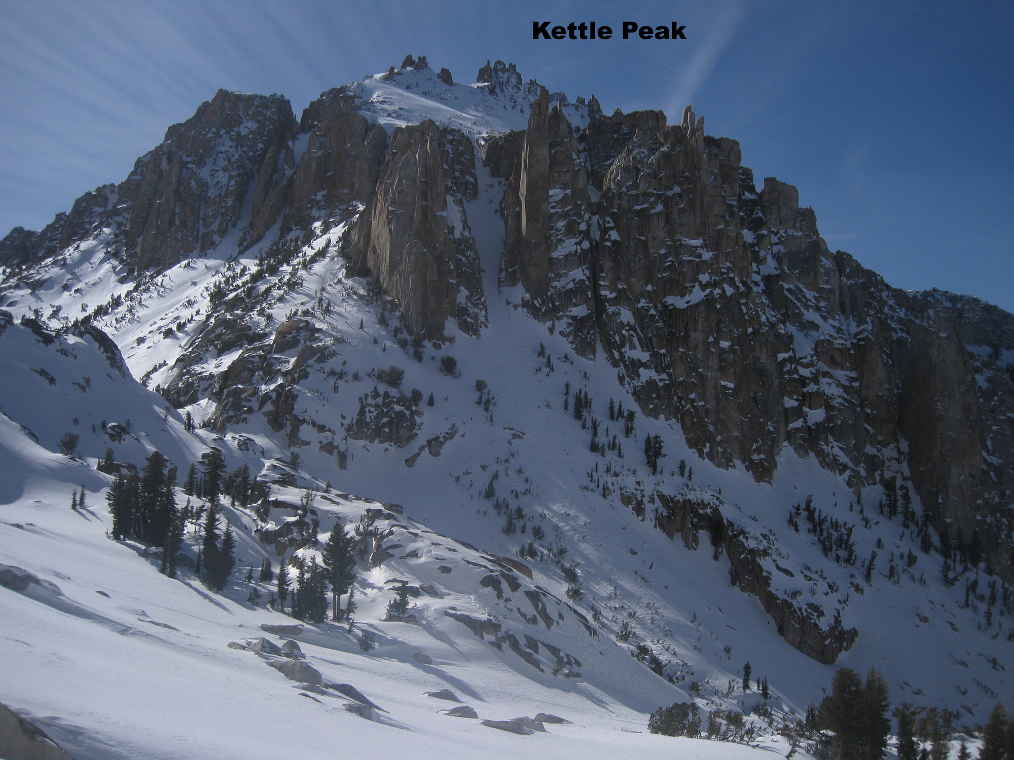
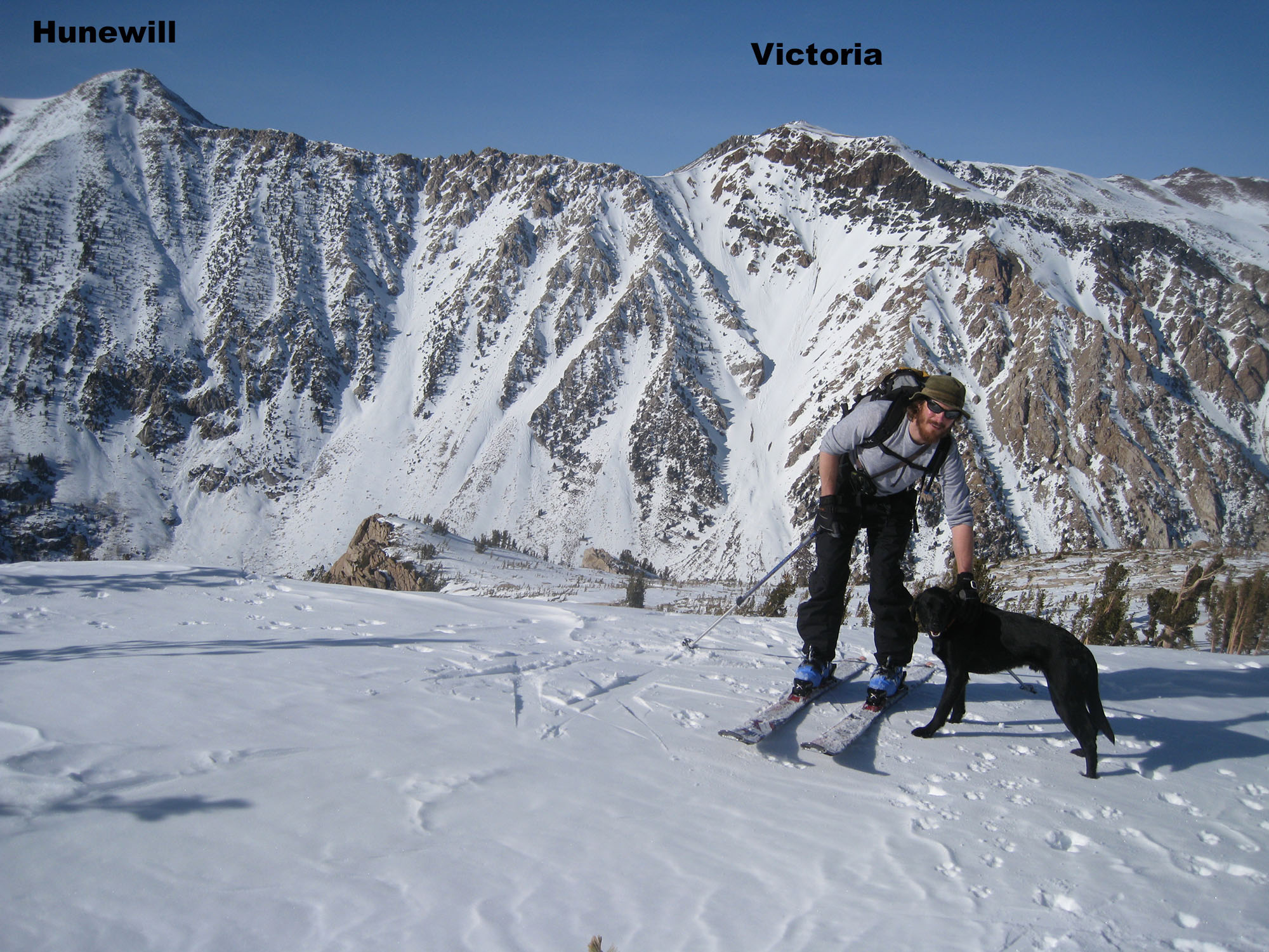
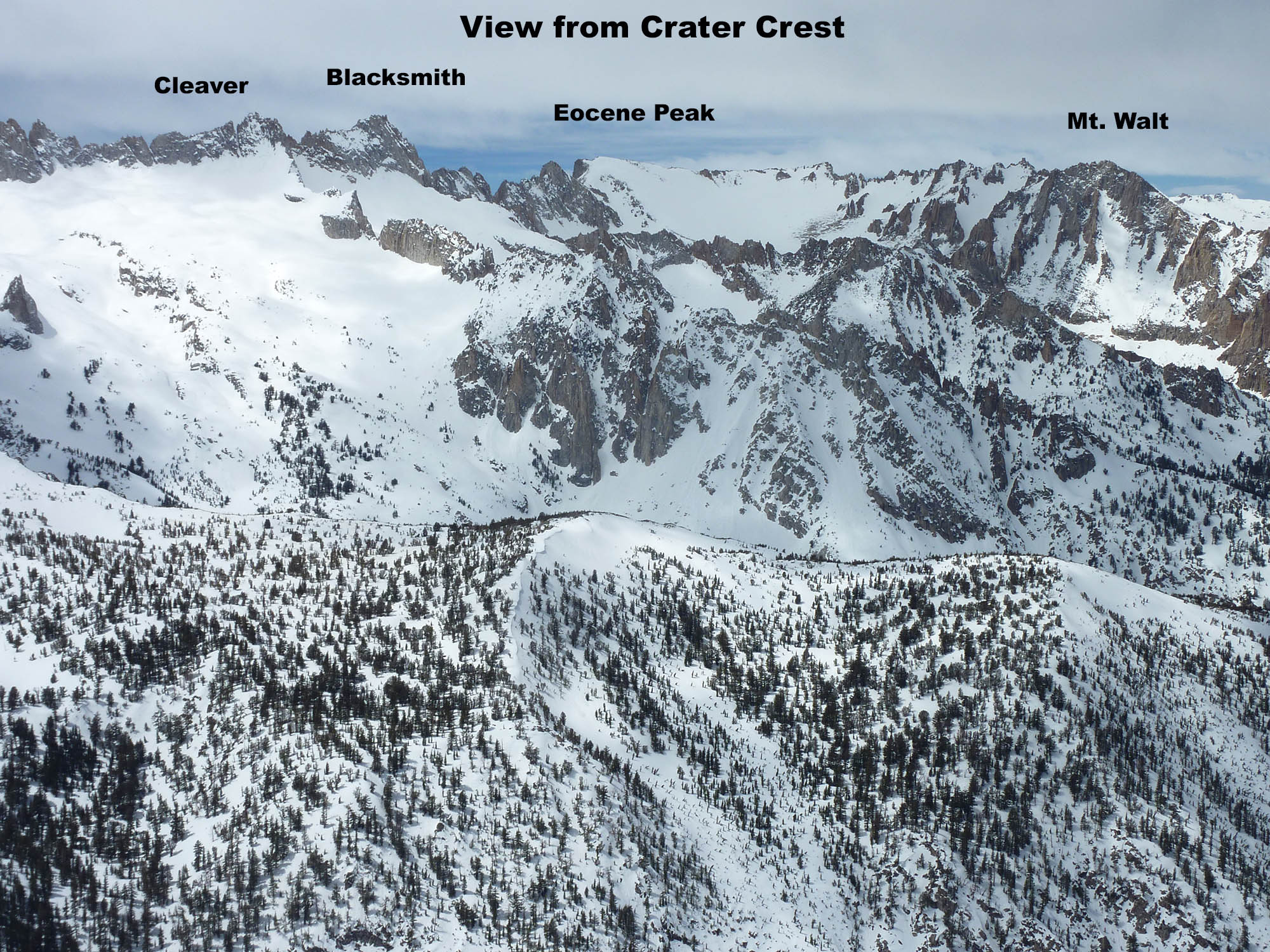
The other ski tours I have posted so far in the Sawtooths of Bridgeport are Monument Peak, Crater Crest, Twin Peaks, Matterhorn Peak, Mt. Whorl, Col de Du Dad, Cleaver Peak, Blacksmith Peak, Glacier Col, Mt. Walt, Kettle Peak, Little Slide Pass, Crown Point, Hunewill Peak, and Victoria Peak.
.

Looking for awesome ski and splitboard tours in the Sierras? We’ve got write ups on many common and uncommon tours curated by the owner of the BackCountry, Mike Schwartz.


