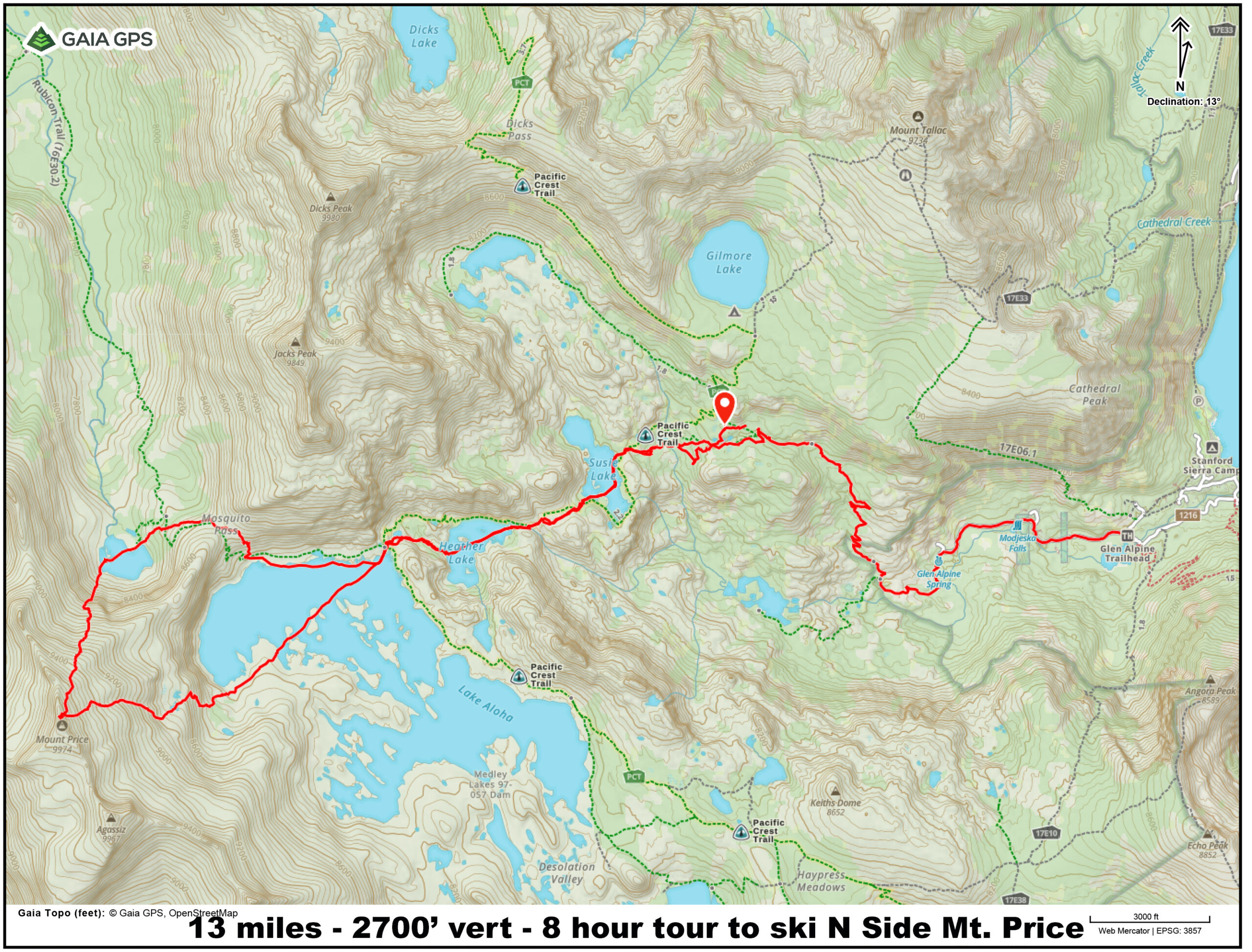

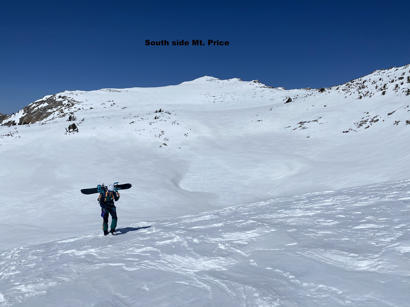
Mt. Price 9975′ – Crystal Range
Elevation Change from Glen Alpine Trailhead – 2700′ and 12 miles
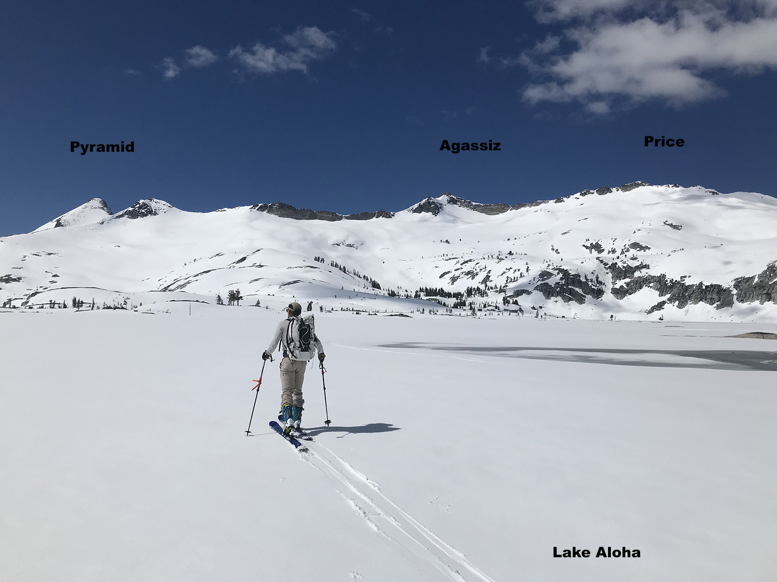
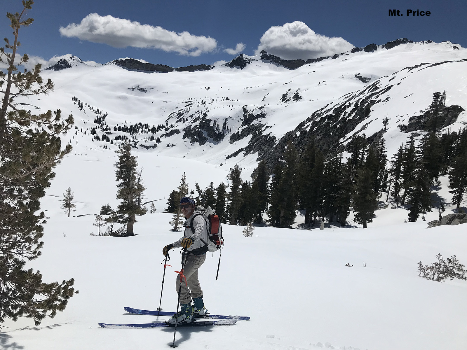
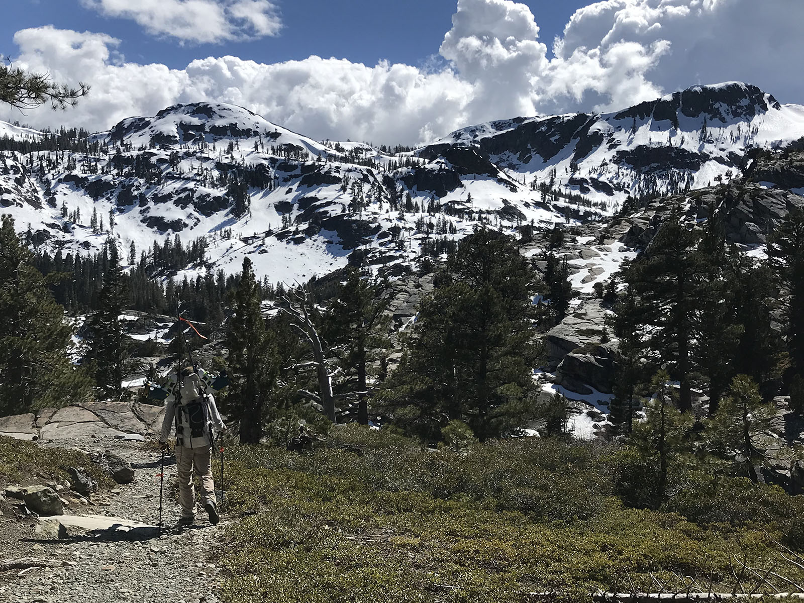
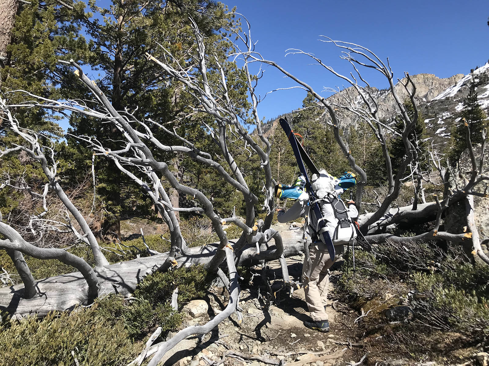
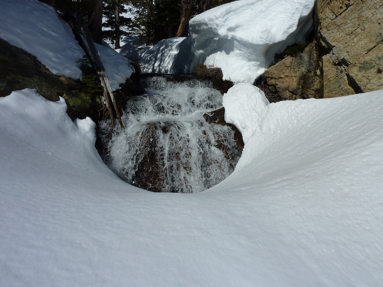
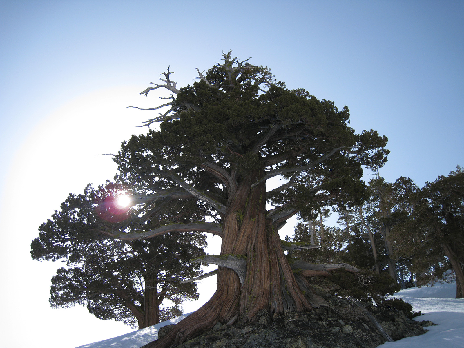
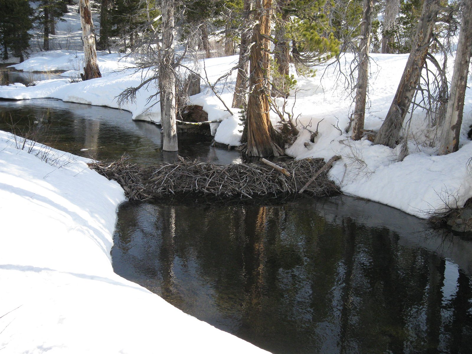
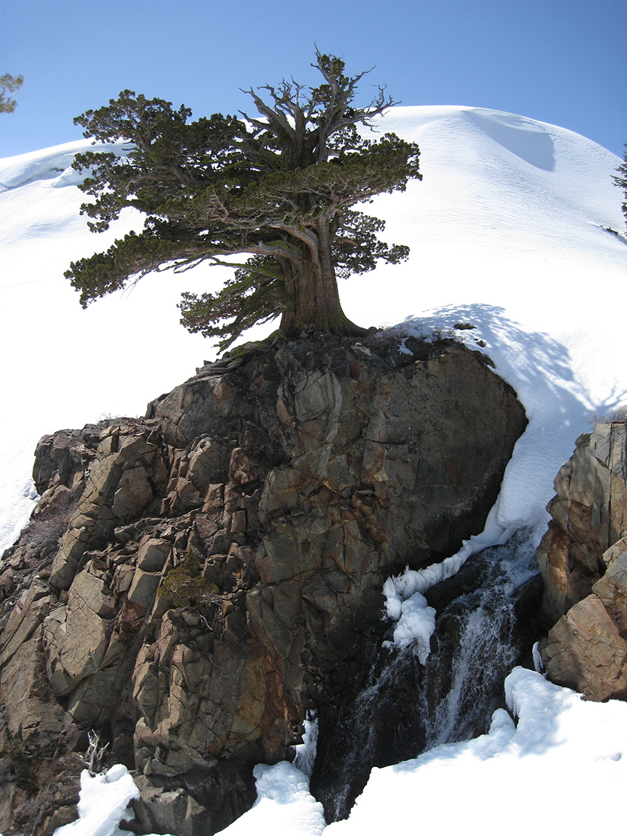
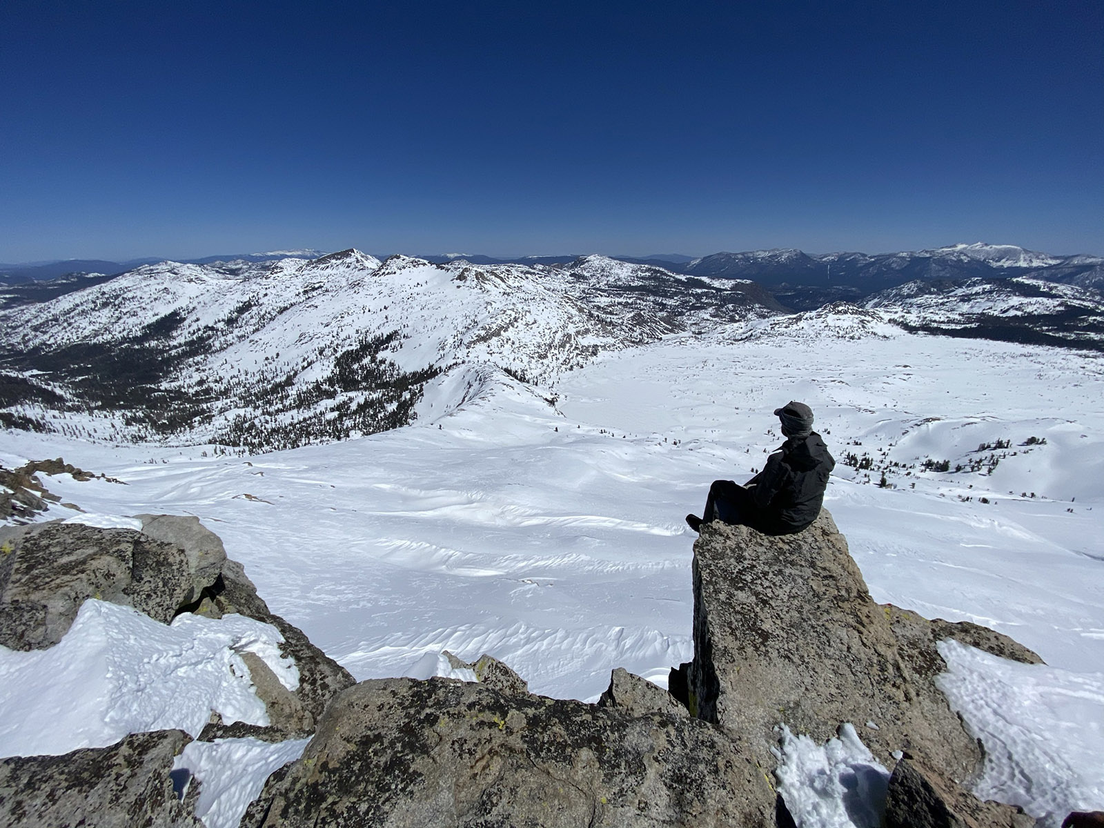
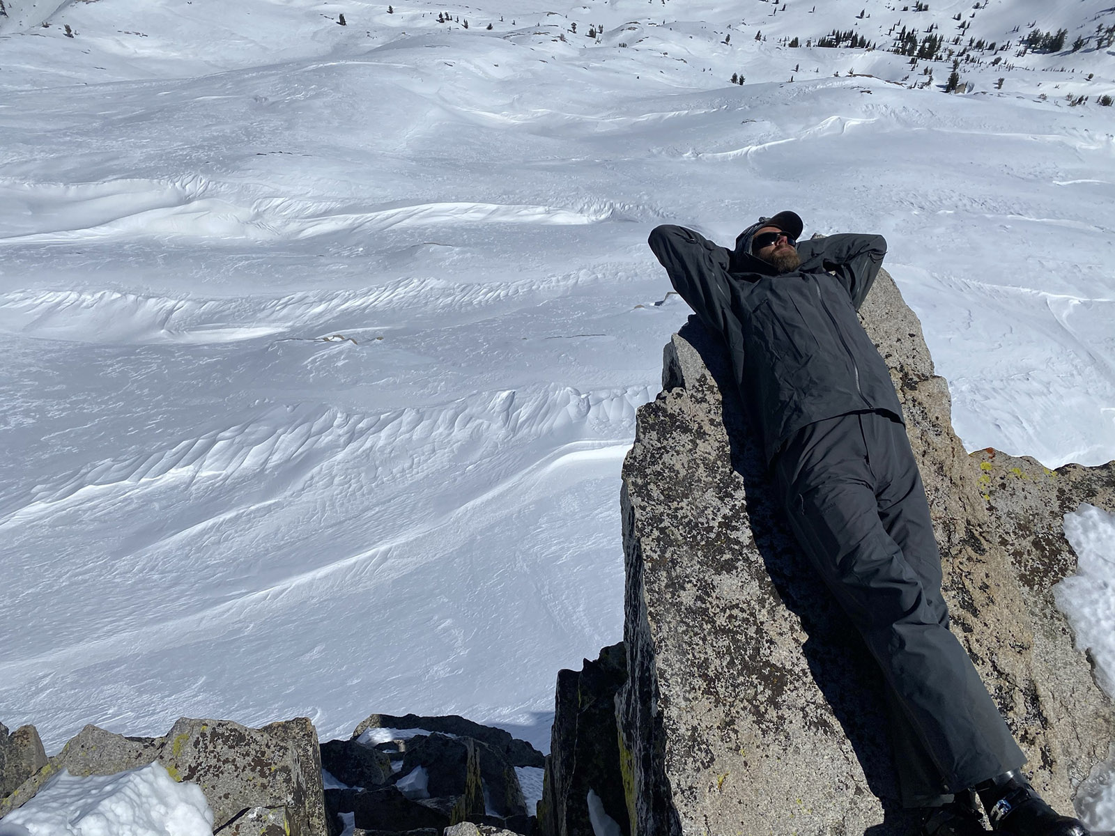
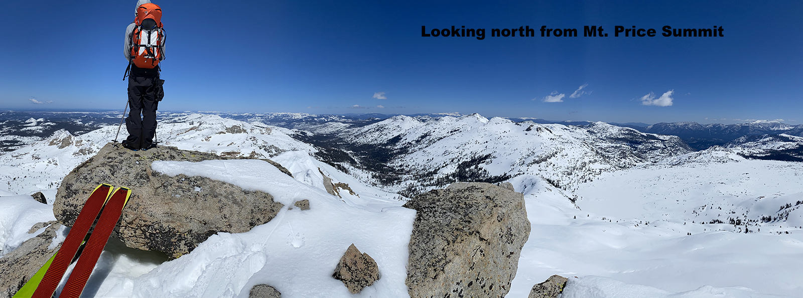
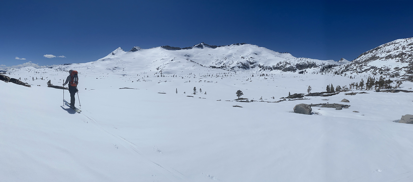
Here are a few picture stories to try and sell you on going out to Mt. Price. This peak is the most northern summit of the Crystal Range, which borders the west side of Desolation Wilderness, above Lake Aloha. My pictures don’t do the beauty back there any justice. And the most amazing part of it is that this terrain is in our backyard, right behind Fallen Leaf Lake. Get some long easy ski tours done this winter and launch out to Mt. Price around mid to late April, when the Fallen Leaf Lake Gate opens for the season. Every year I am blown away again I live near here. The old Junipers, the rushing little creeks peeking out of the deep snowpack, the smooth as a baby butt morning snow, the lack of humans, and the many 2000′ peaks surrounding you without a track on them…. it’s worth it. Blast out there by yourself with headphones, or camp out there with your friends. Bring Kicker skins if the snow reaches the car, you will fly out there. Bring an expert skate skier or an experienced agile split boarder. Don’t bring a slowpoke who complains a lot, you won’t make it.
I’ll explain a few ways I have skied Mt. Price.
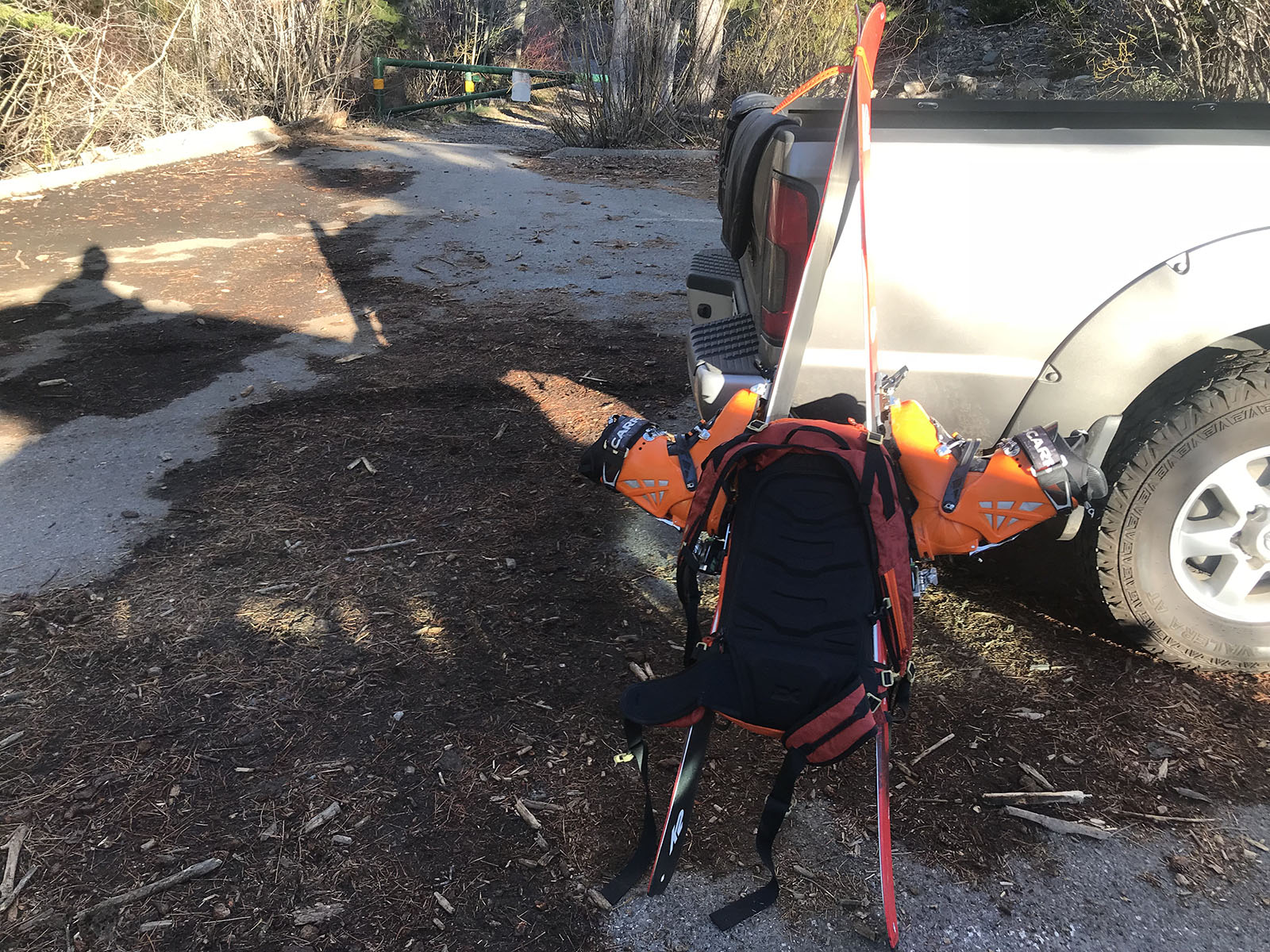
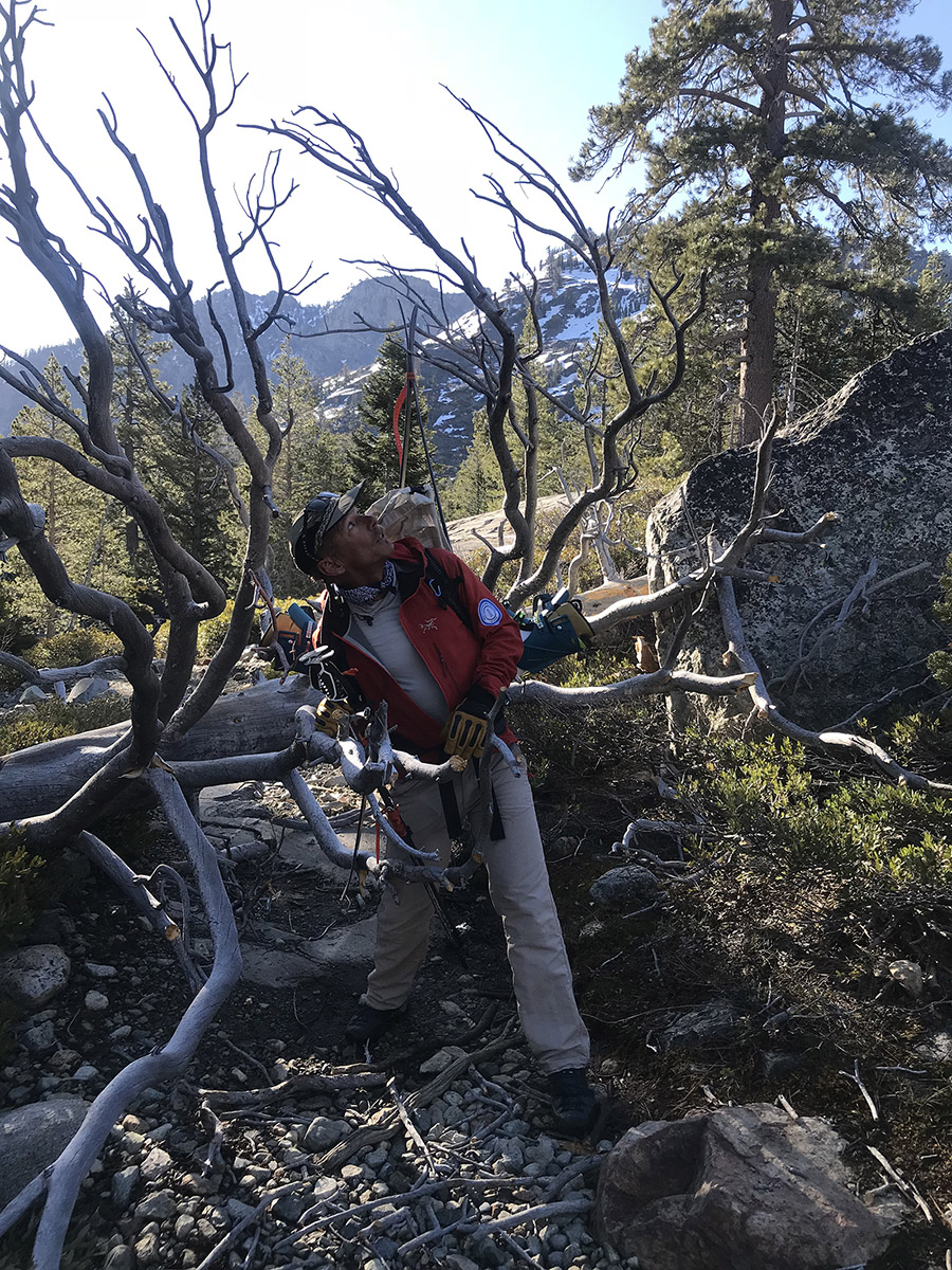
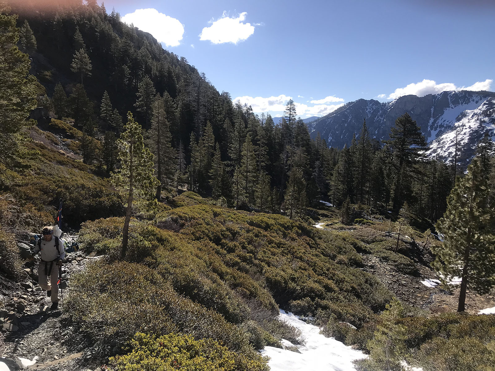
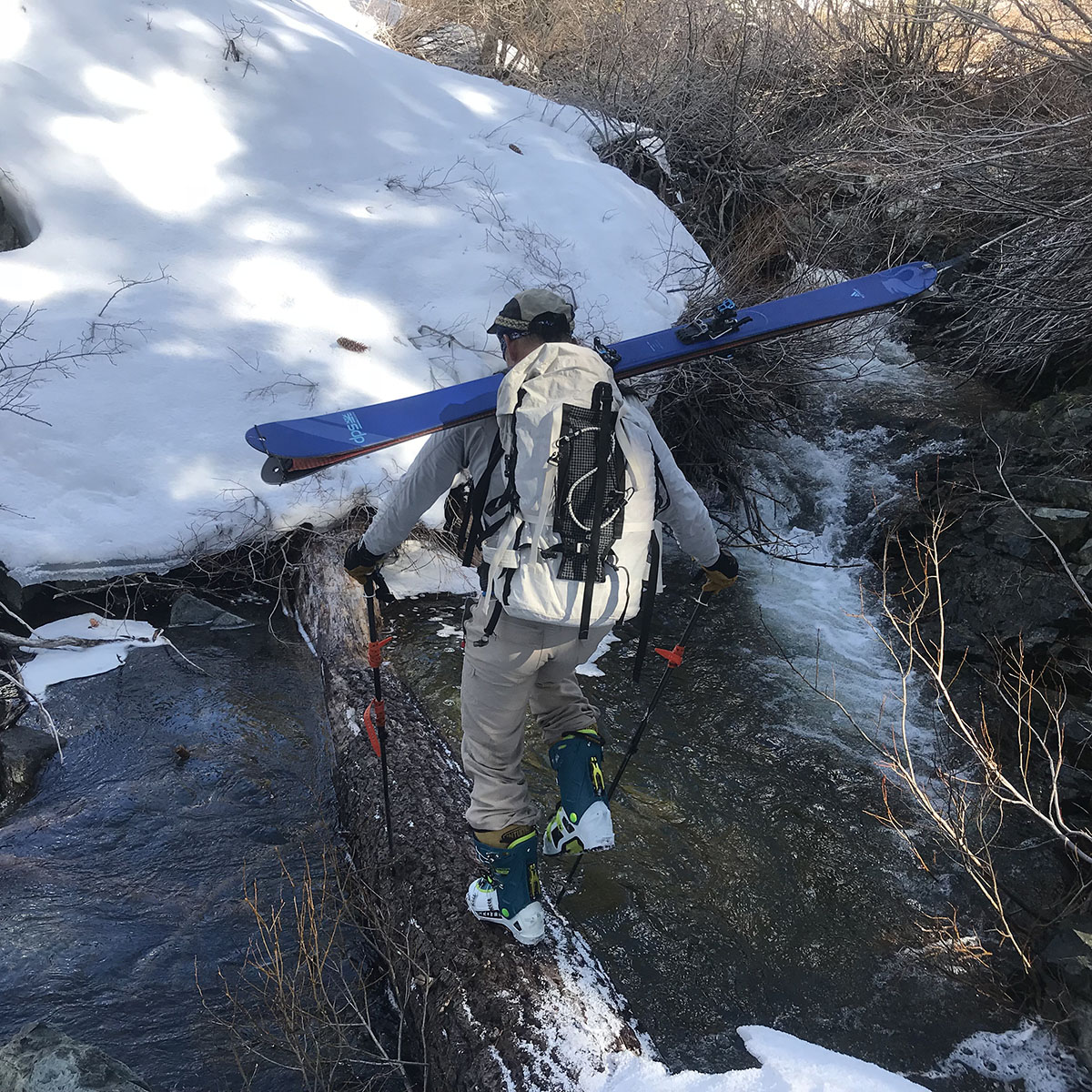
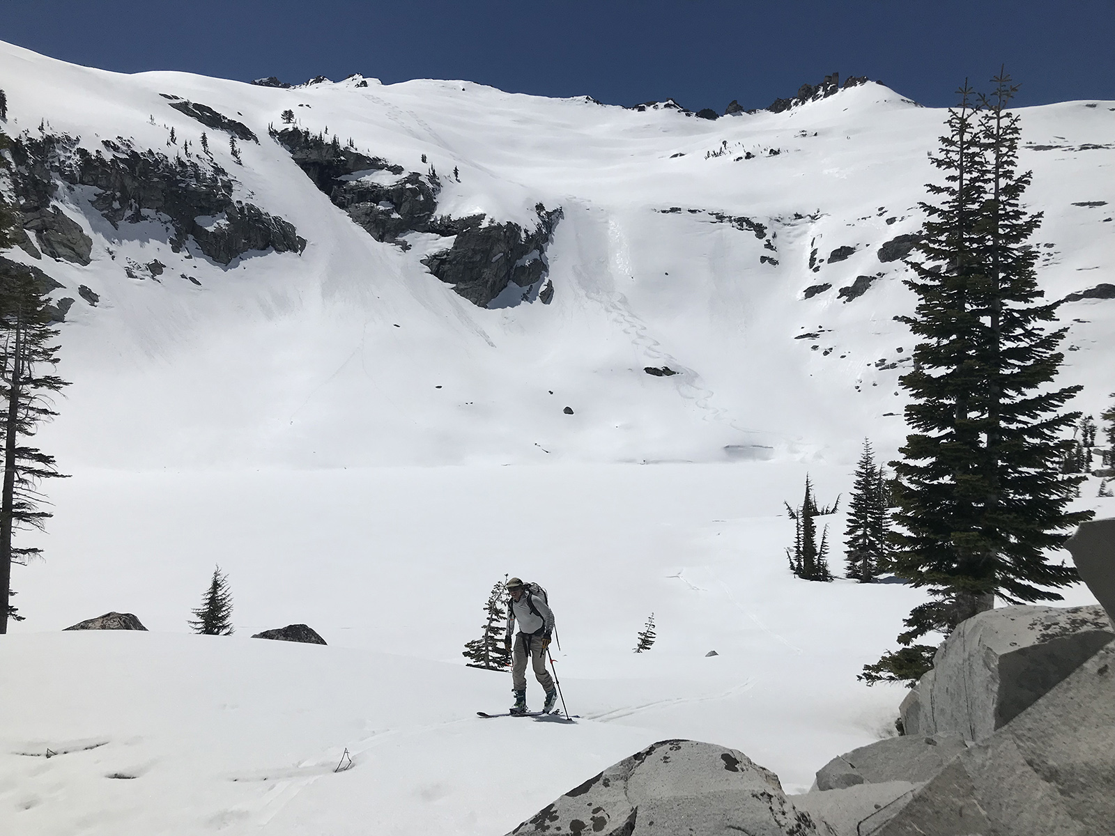
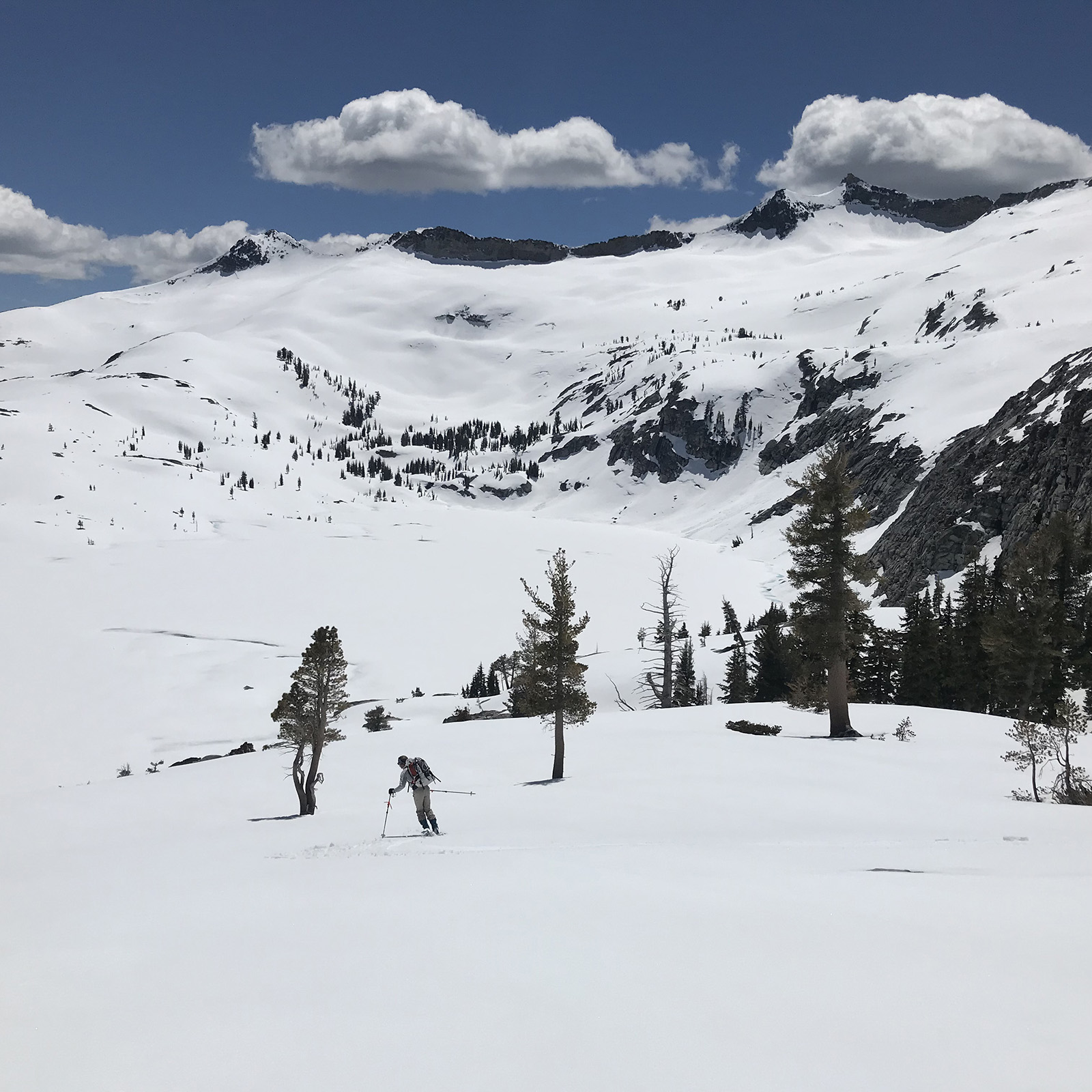
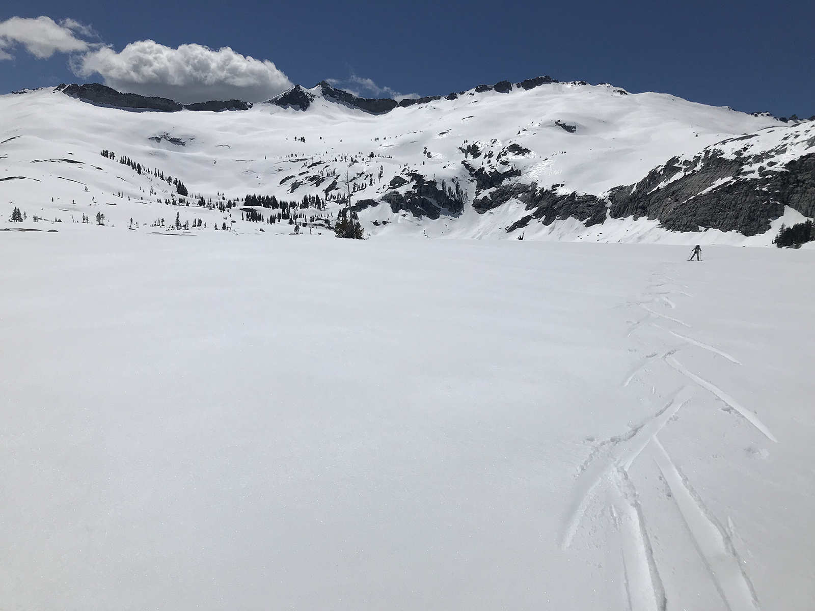
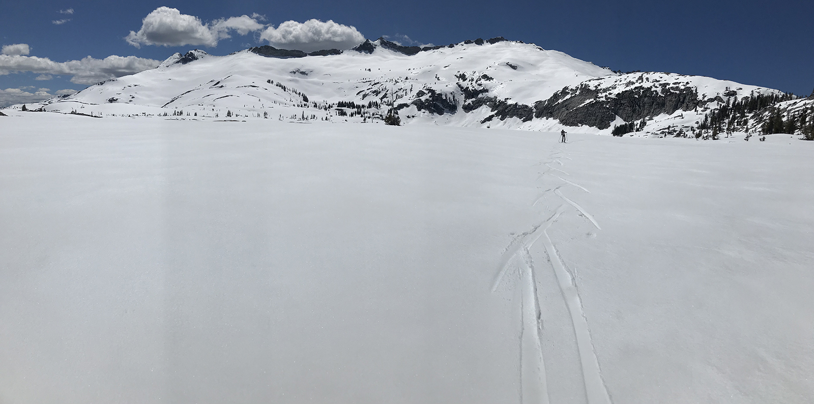
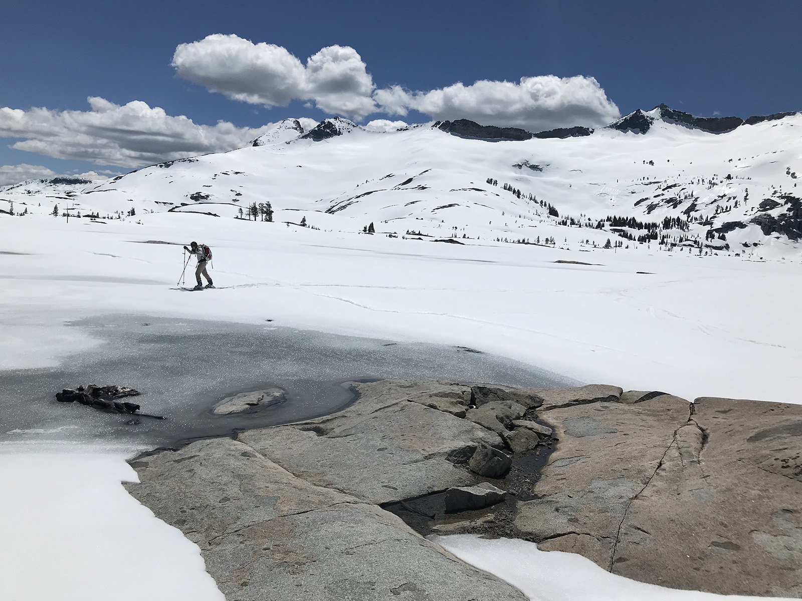
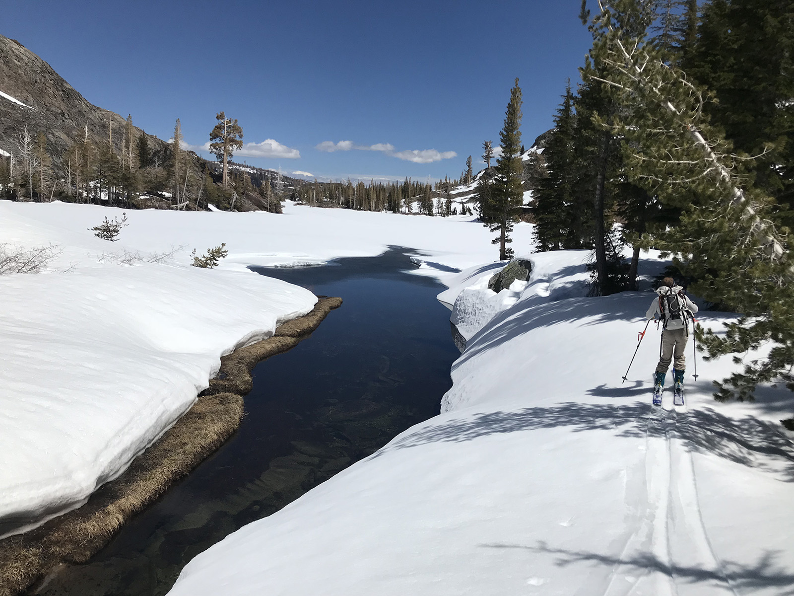
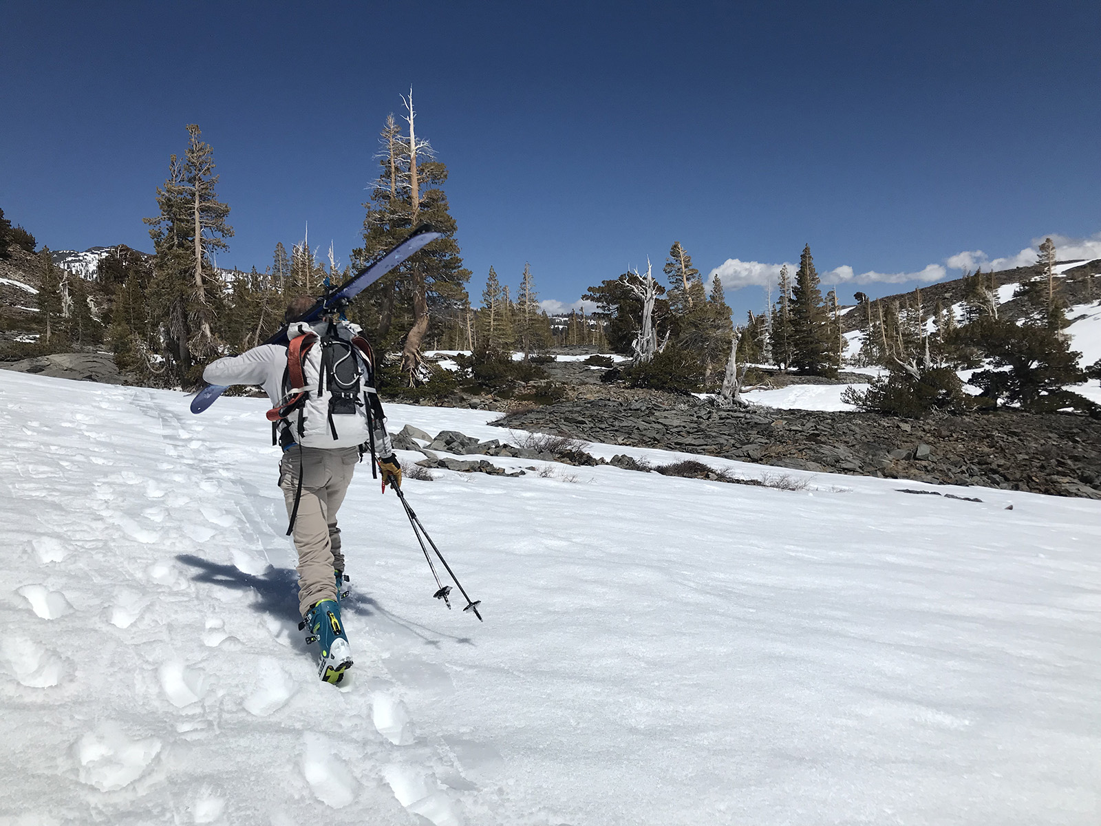
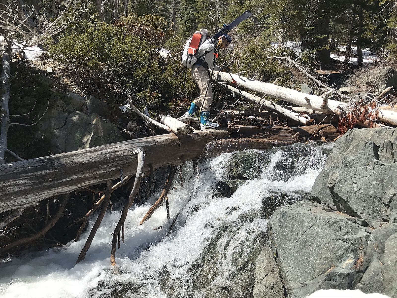
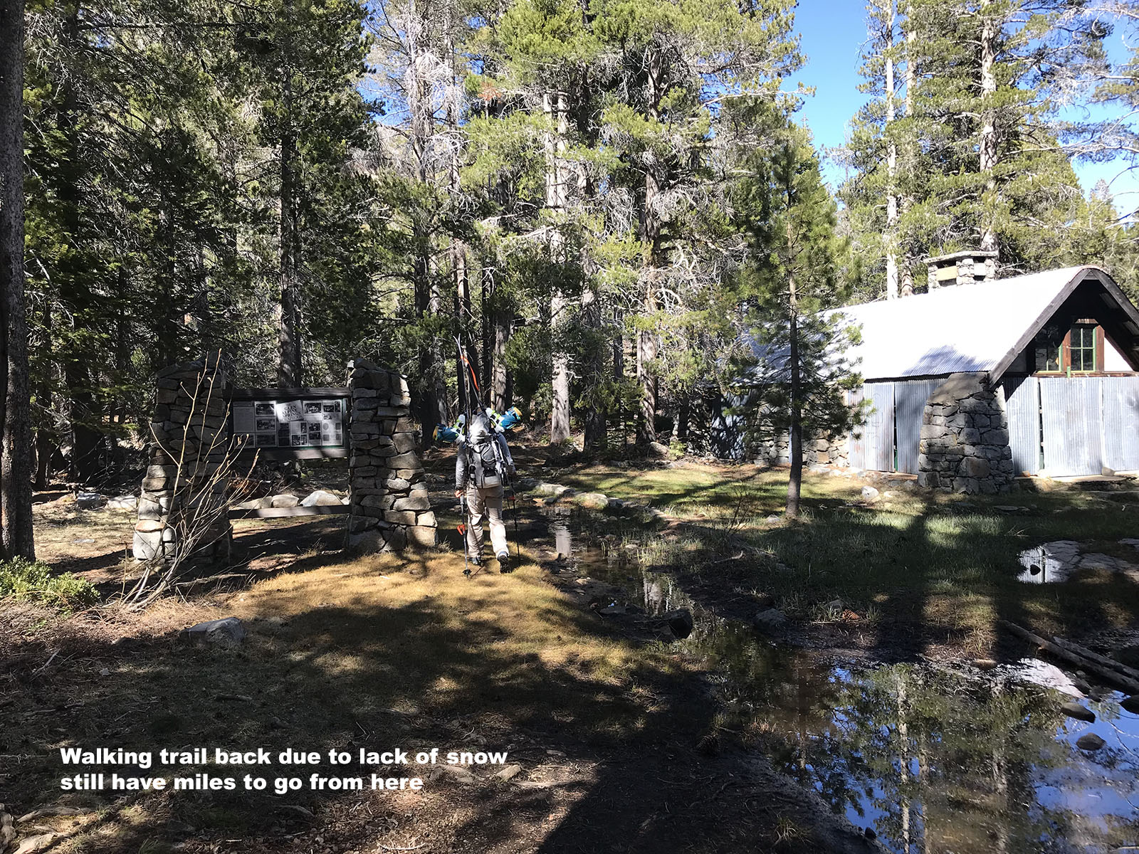
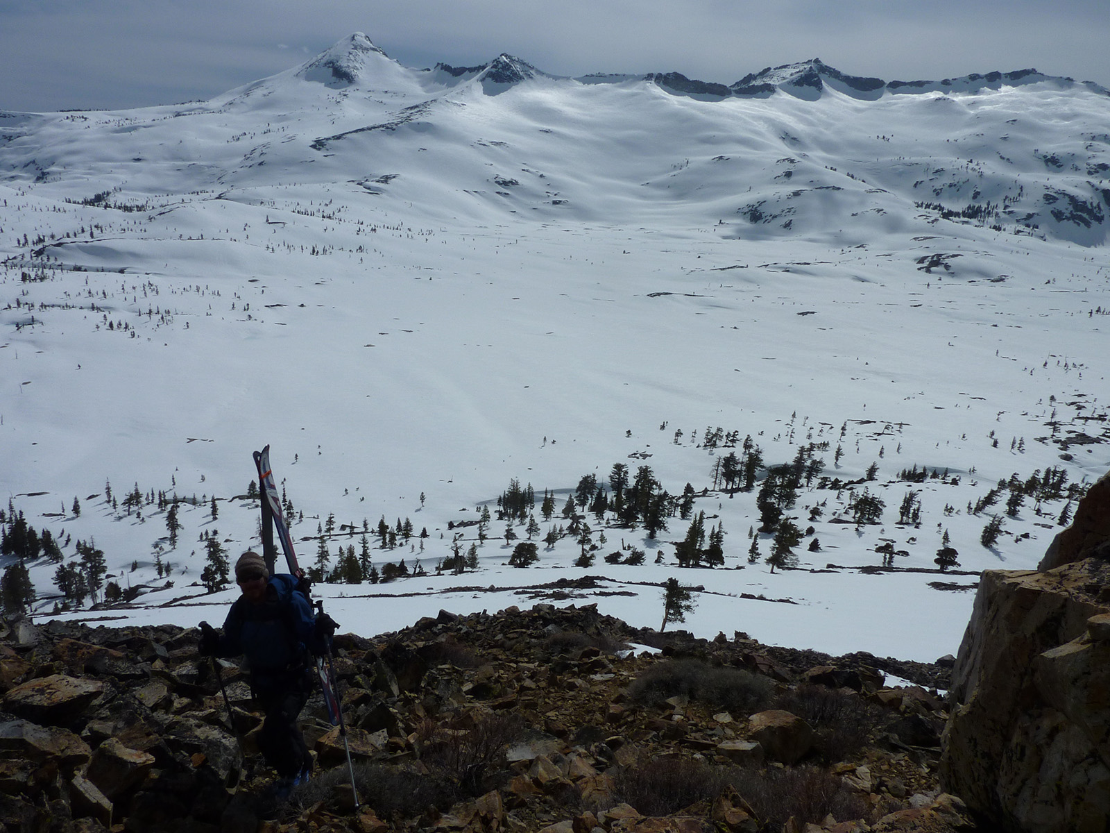
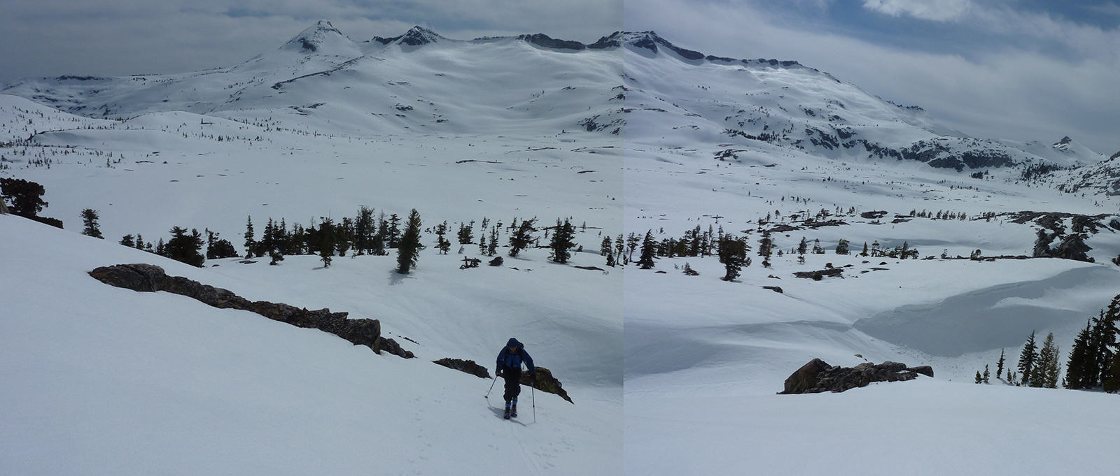
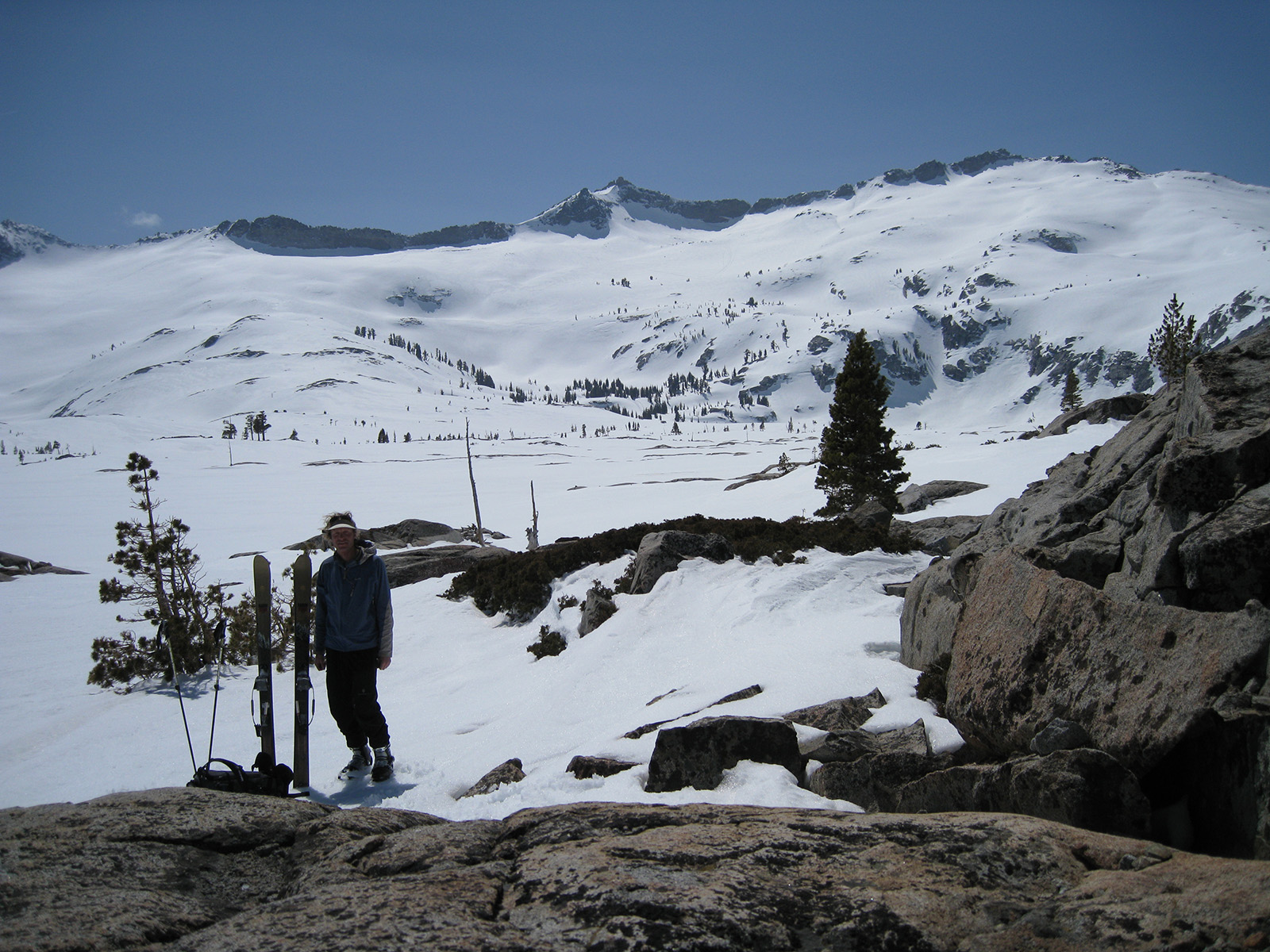
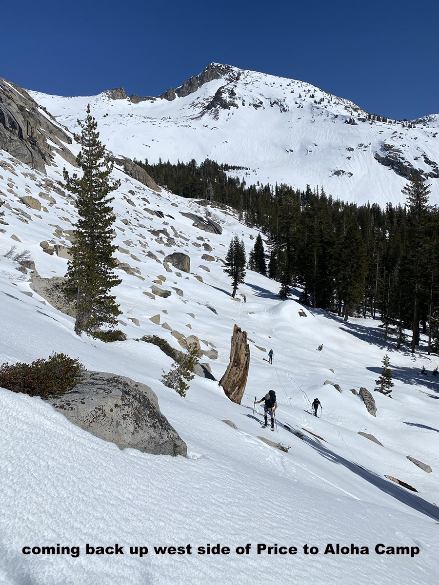
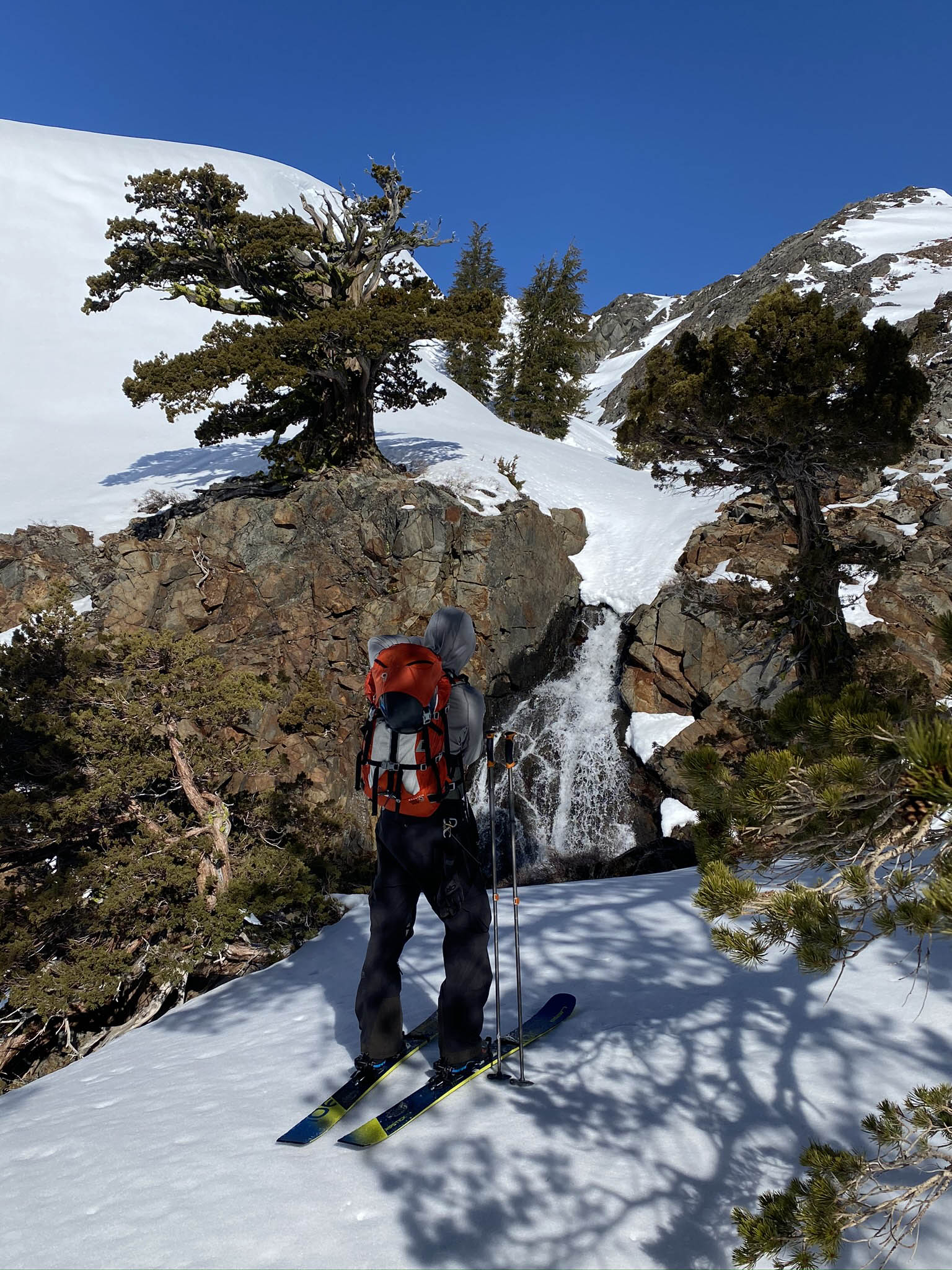
My first bunch of photos are from 5-2-18, as an example of a year with below average snowpack. Peter Leh and I went from the Glen Alpine Trailhead in South Shore after the Fallen Leaf Lake Gate was finally open to the public. This was a bummer as usual, where USFS didn’t open the gate weeks earlier to help skiers get out there while snow was closer to the trailhead. In half the winters, there will never be snow near the trailhead in May when it opens. Just put on the trail shoes and shoulder up your lightest weight skis and boots. It’s not like the skiing was going to be good, or faster for your low angle 4 mile walk to Susie Lake. We walked 90 minutes on the summer trail before putting skis on snow. Ideally you skin directly across Susie Lake. Going around it takes a lot more time, as you try and feel out the route. I have gone both ways around it. If the lake isn’t frozen and snow covered, I think the south (left) side is better. I would only go out to Mt. Price and Lake Aloha for skiing if the snow will really freeze based on temps and wind. You will spend 2-3 hours getting to Lake Aloha and gain only about 1000′. Snowboarding back is not possible. I can ski back without using skins by staying as high as possible and skirting the south side of Grass Lake. This aligns you more directly with the parking lot. On this day with Peter, we went back across Susie Lake as you can see in my lollipop shaped tour on the map.
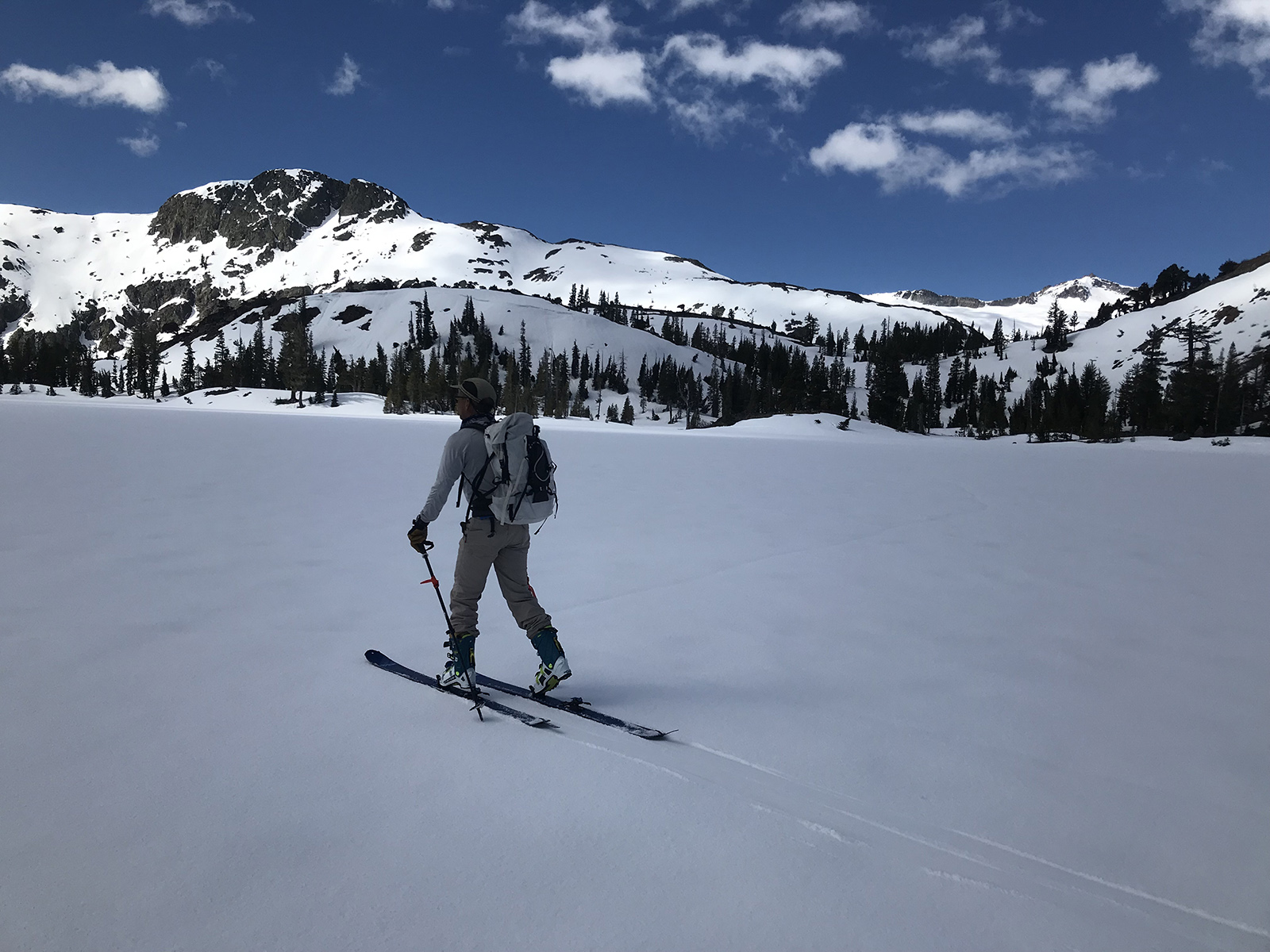
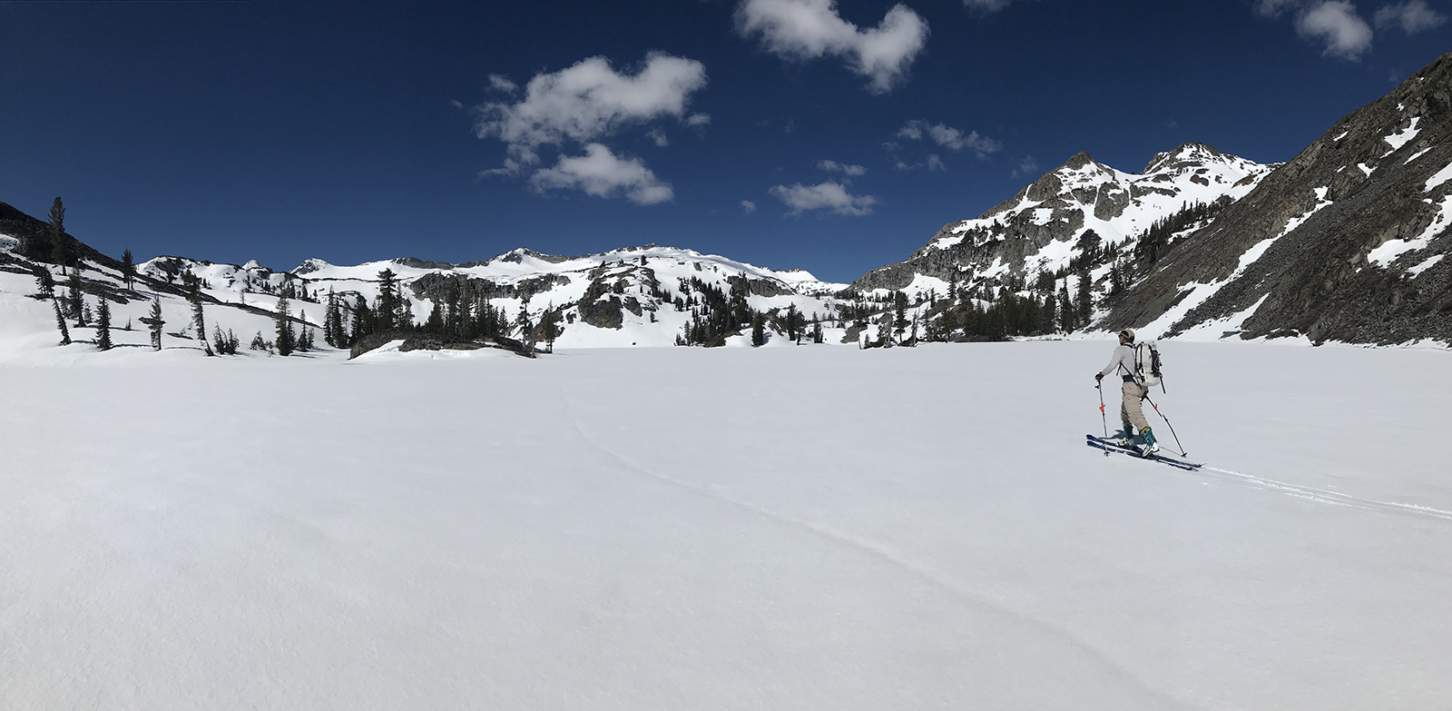
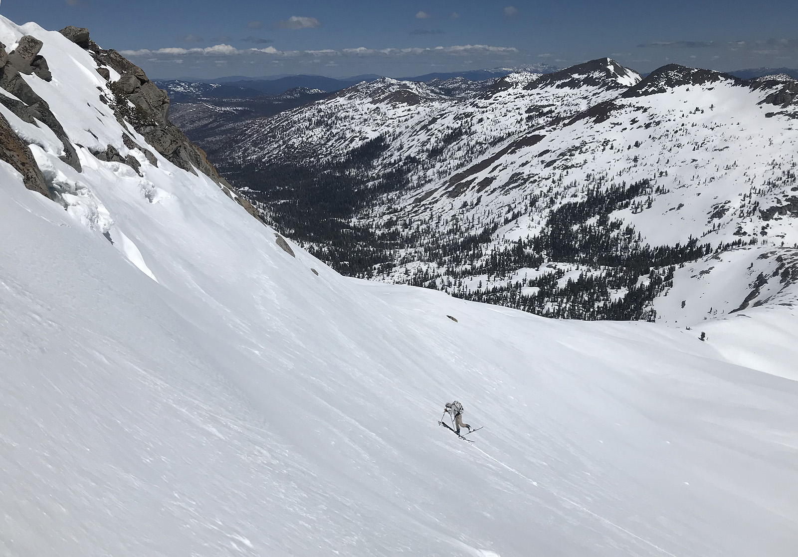
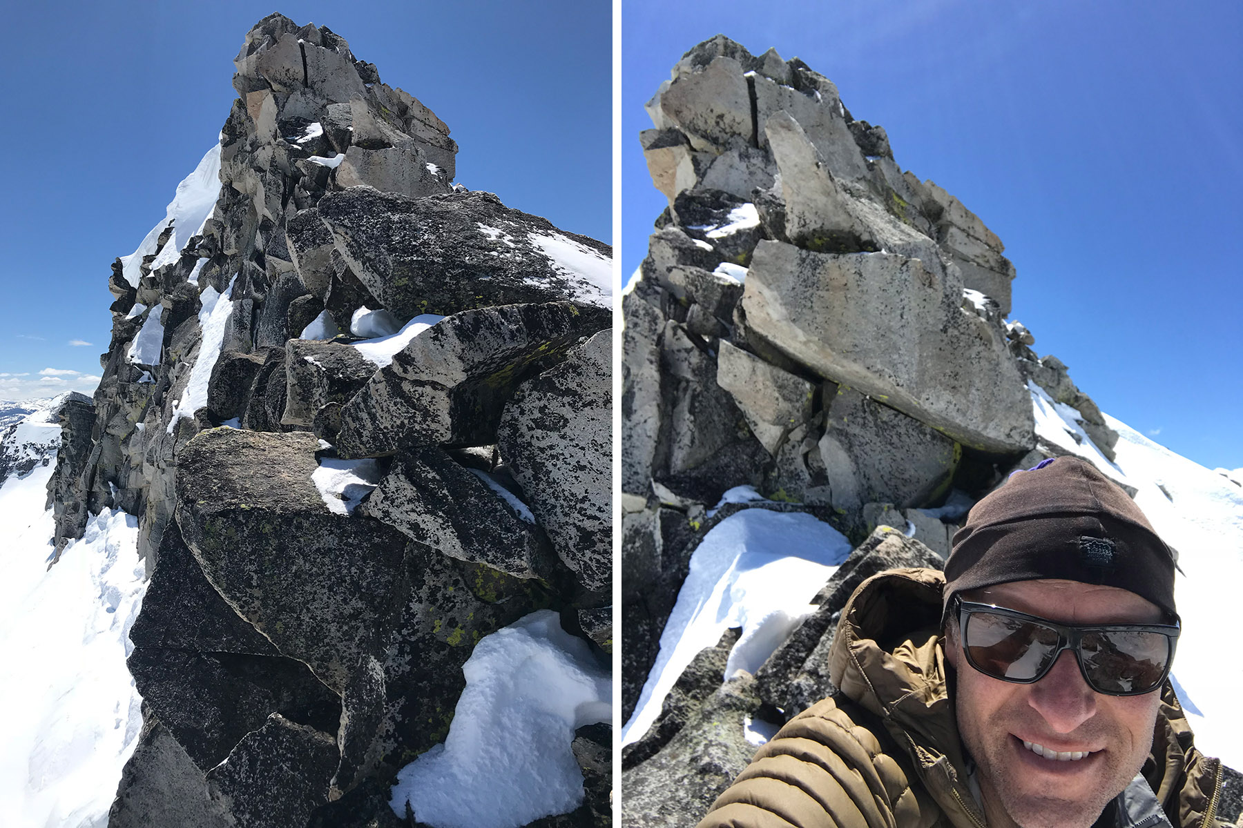
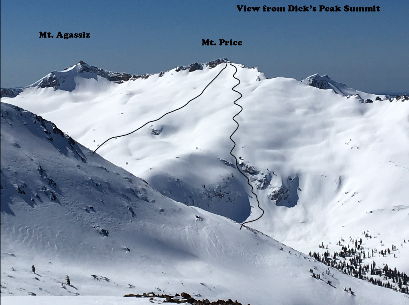
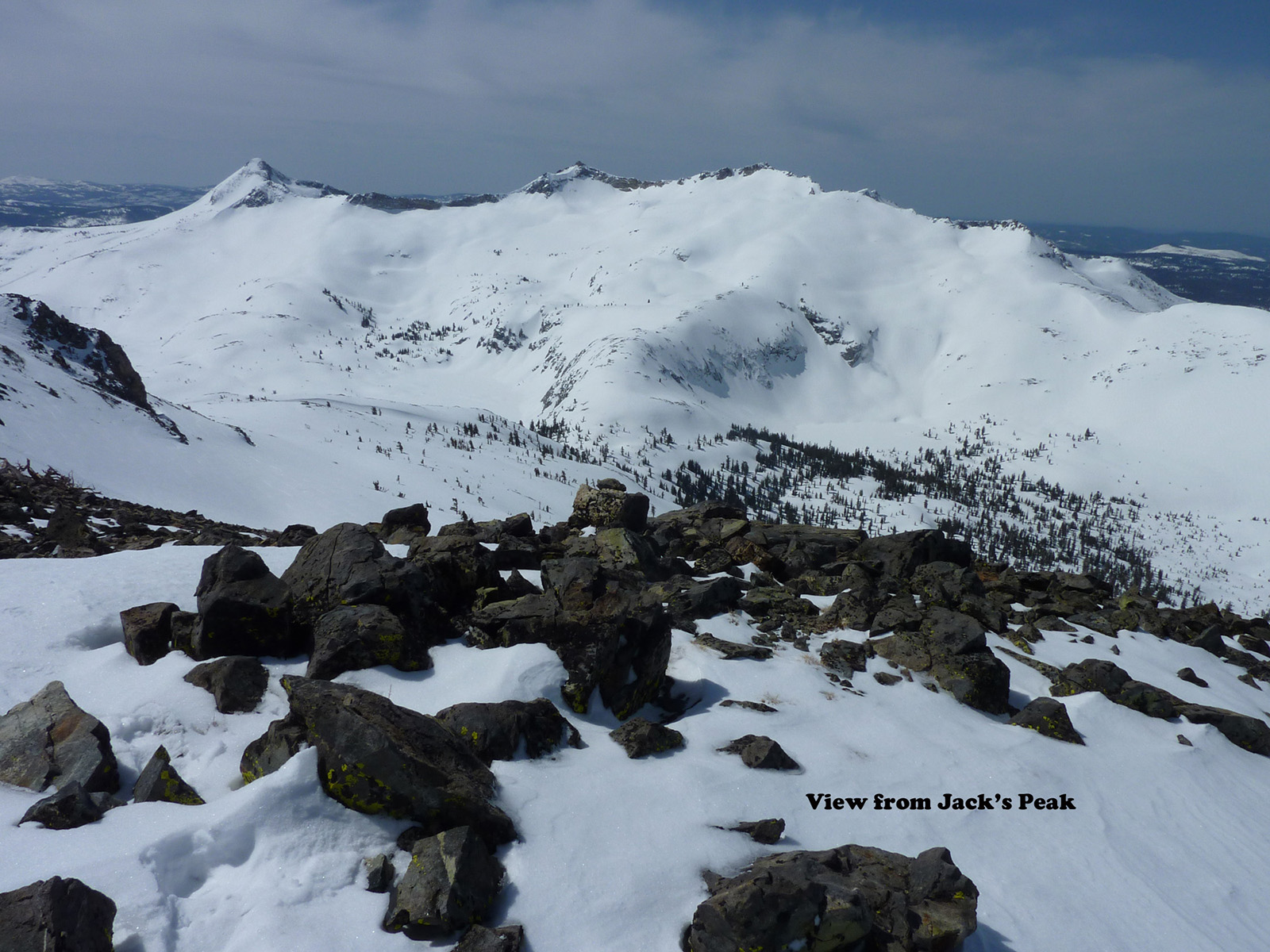
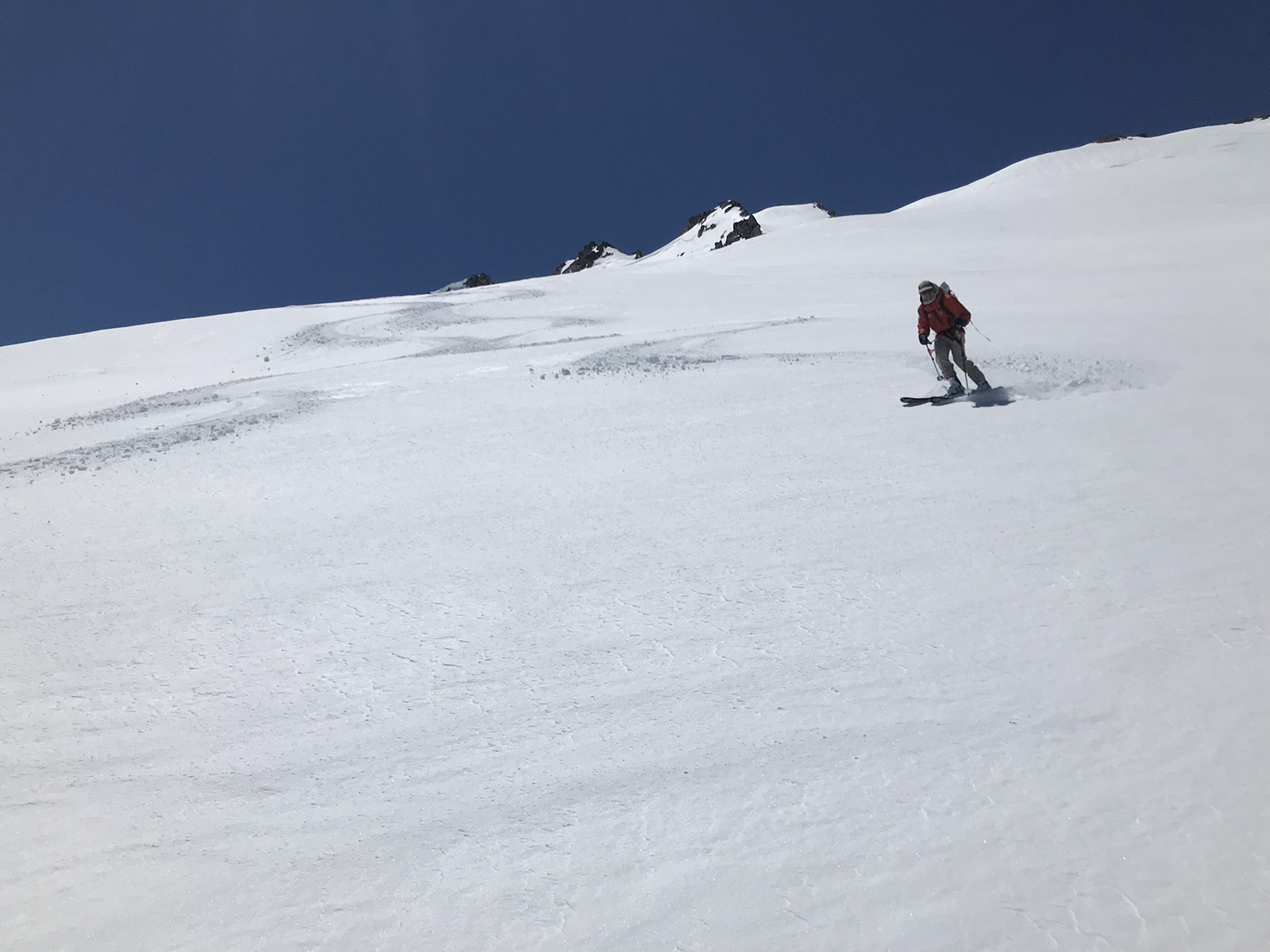
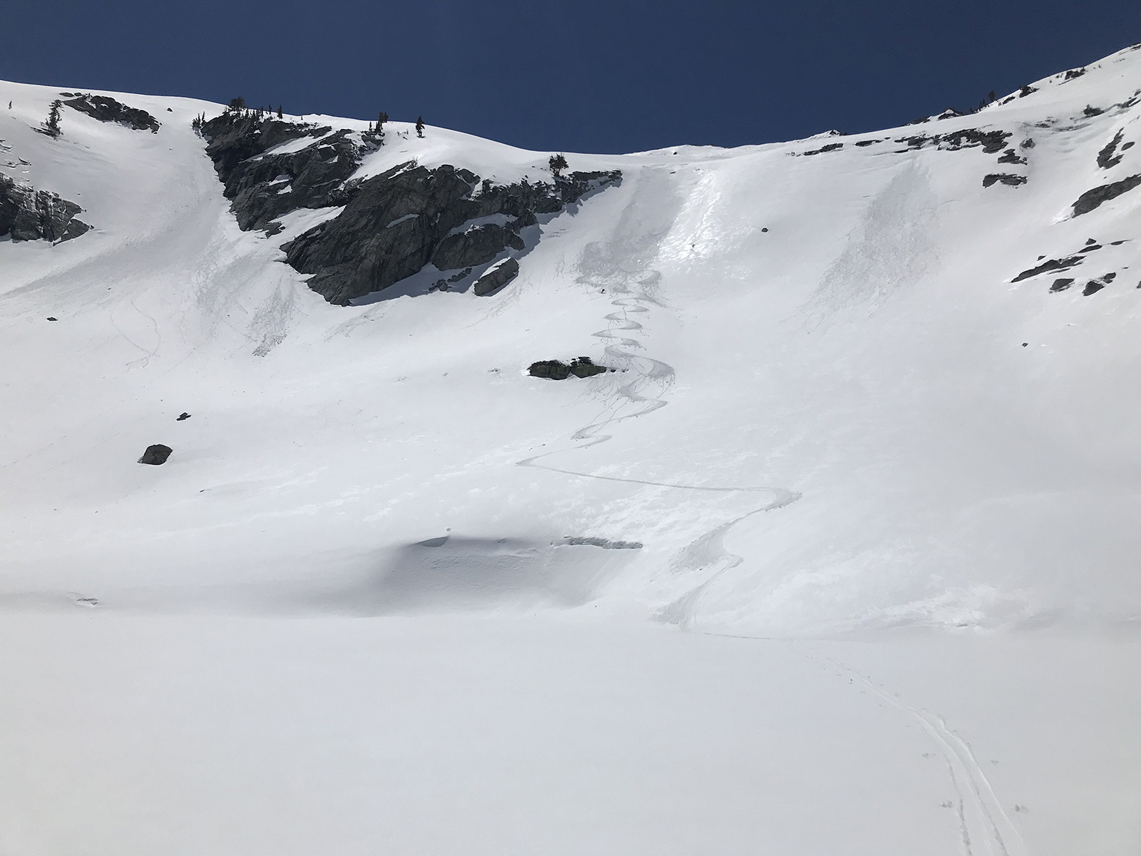
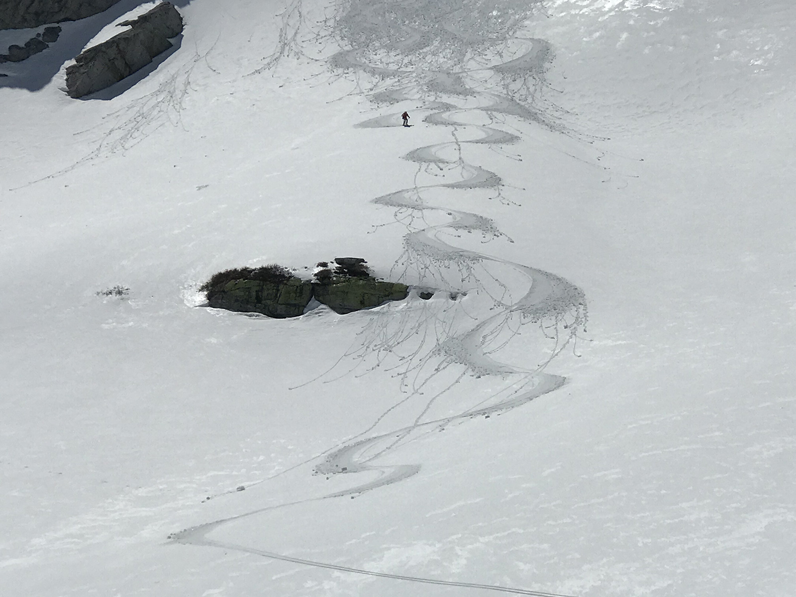
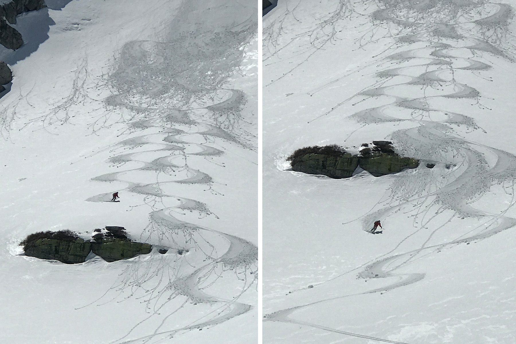
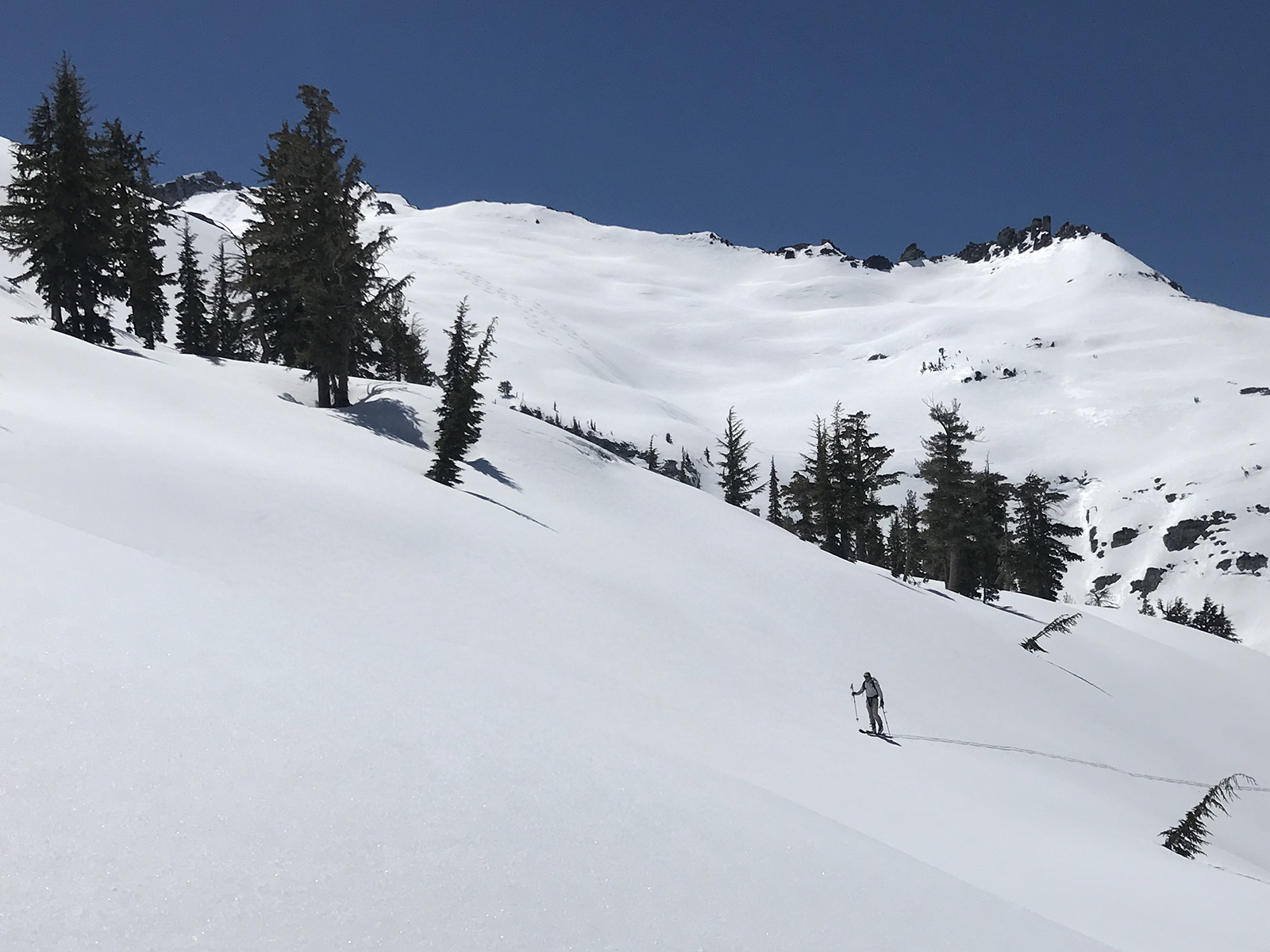
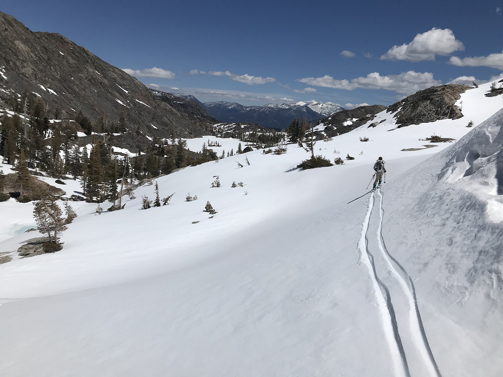
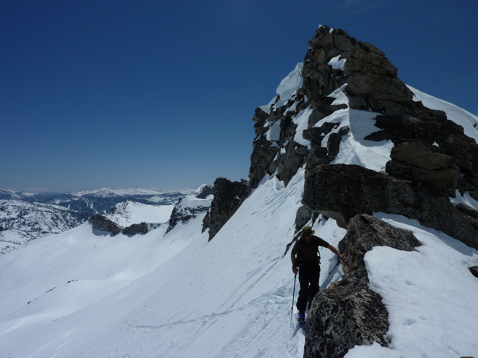
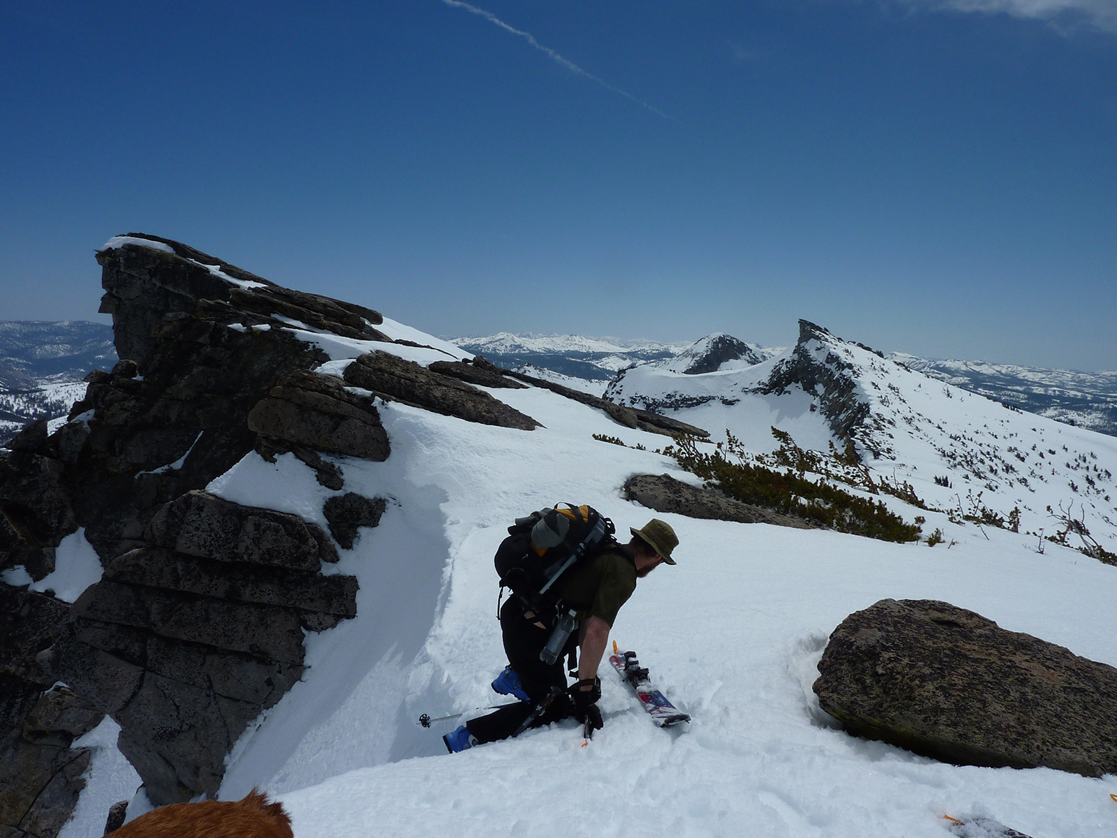
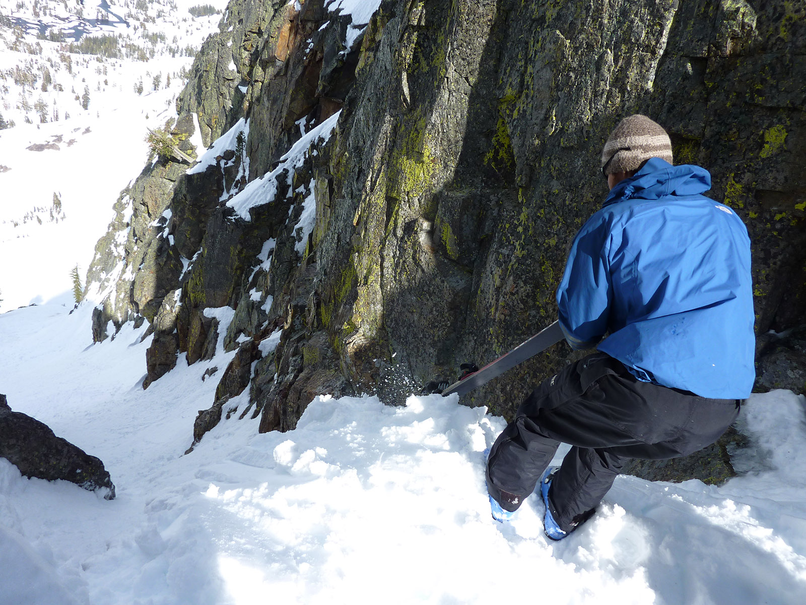
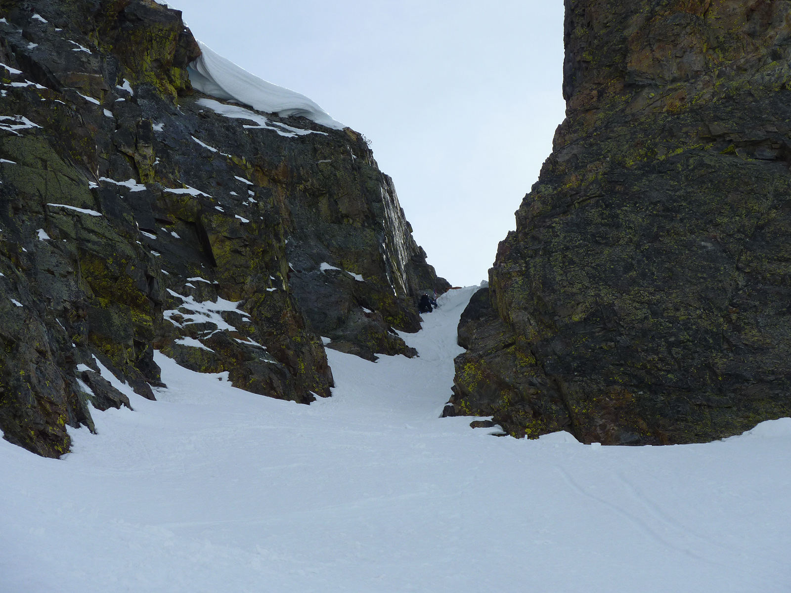
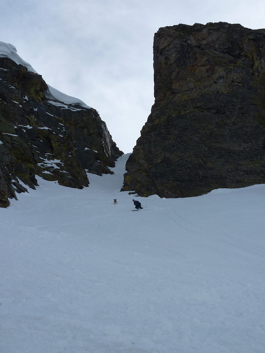
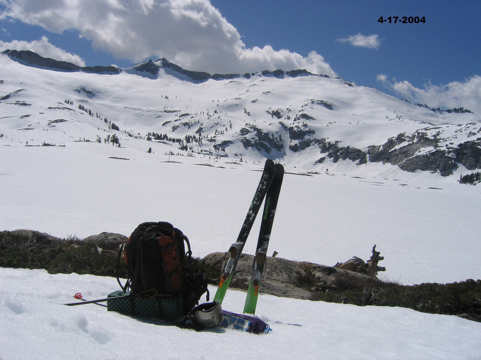
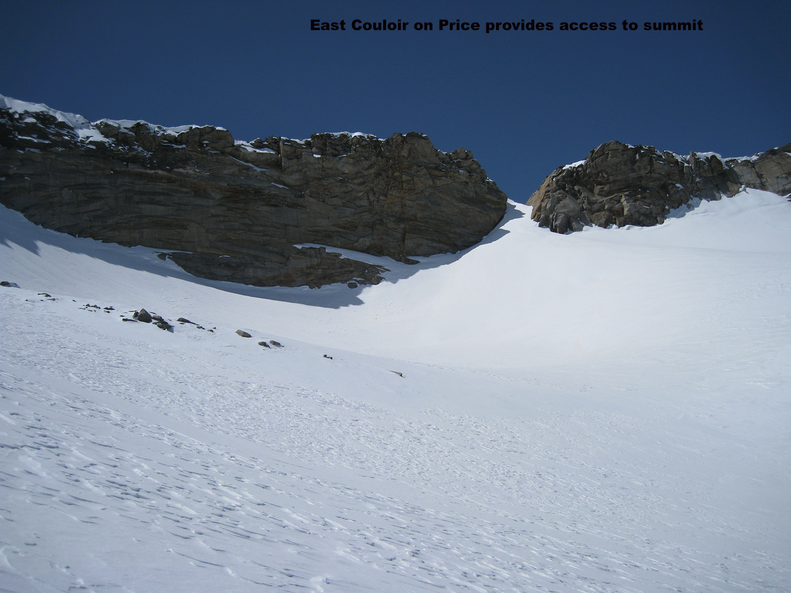
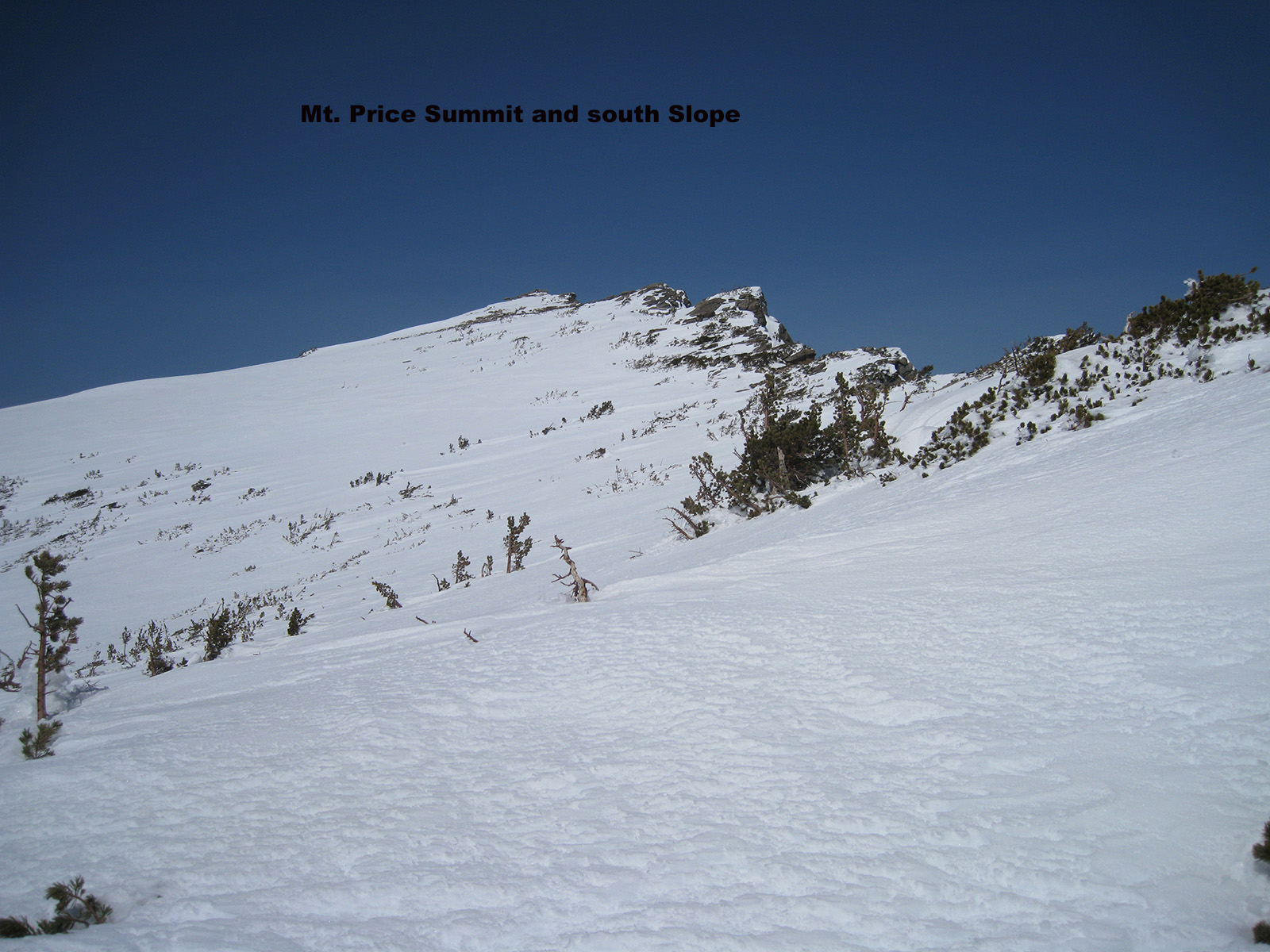
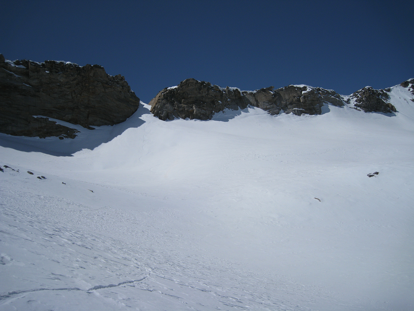
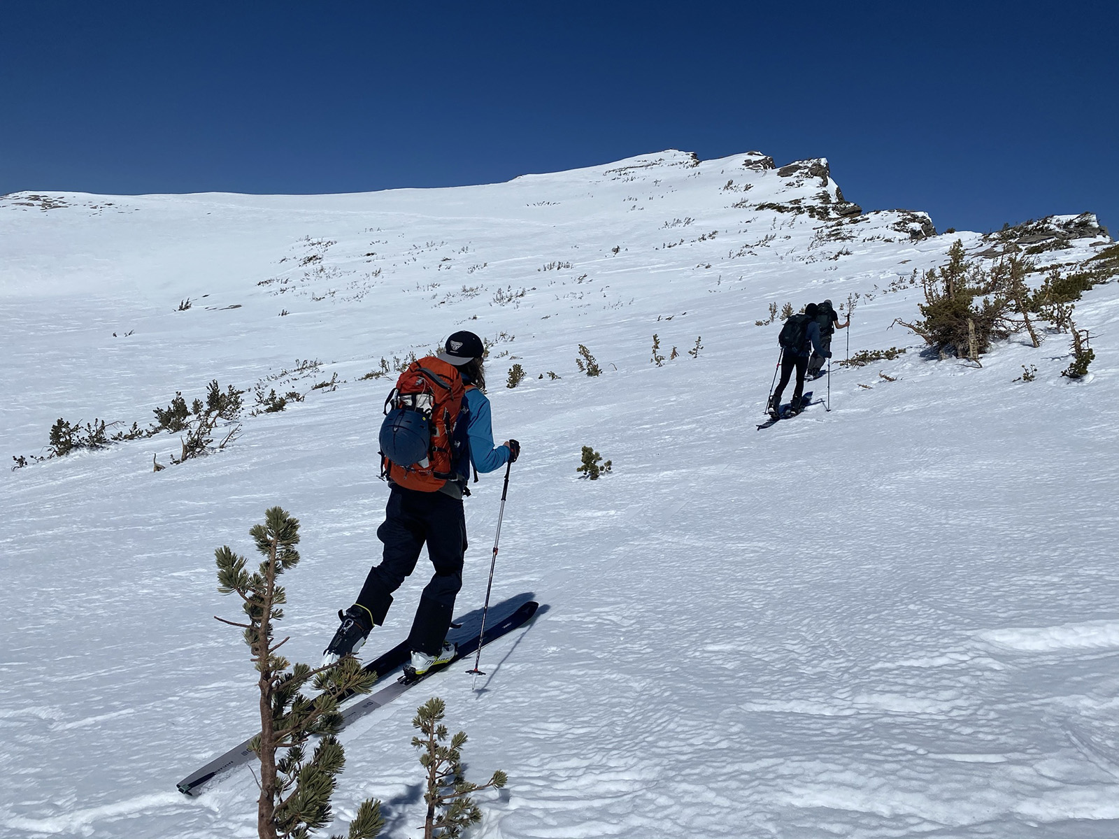
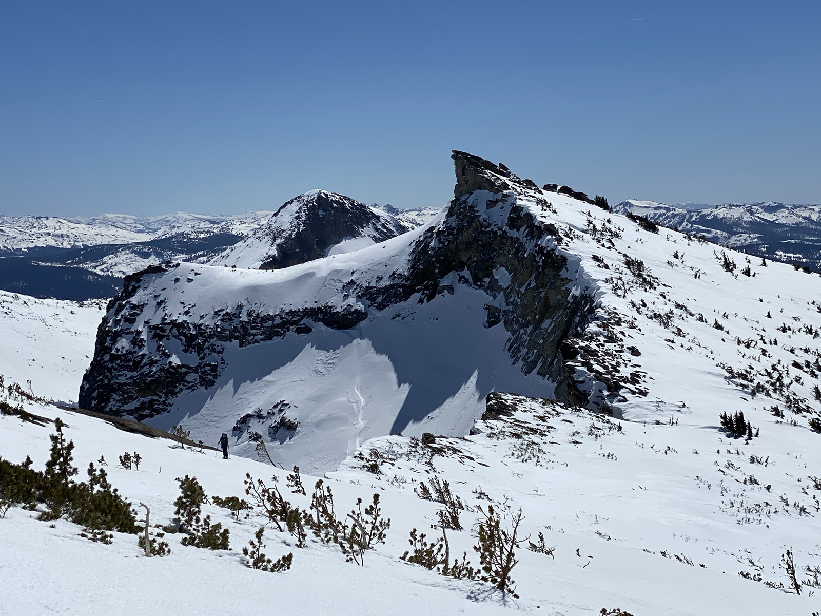
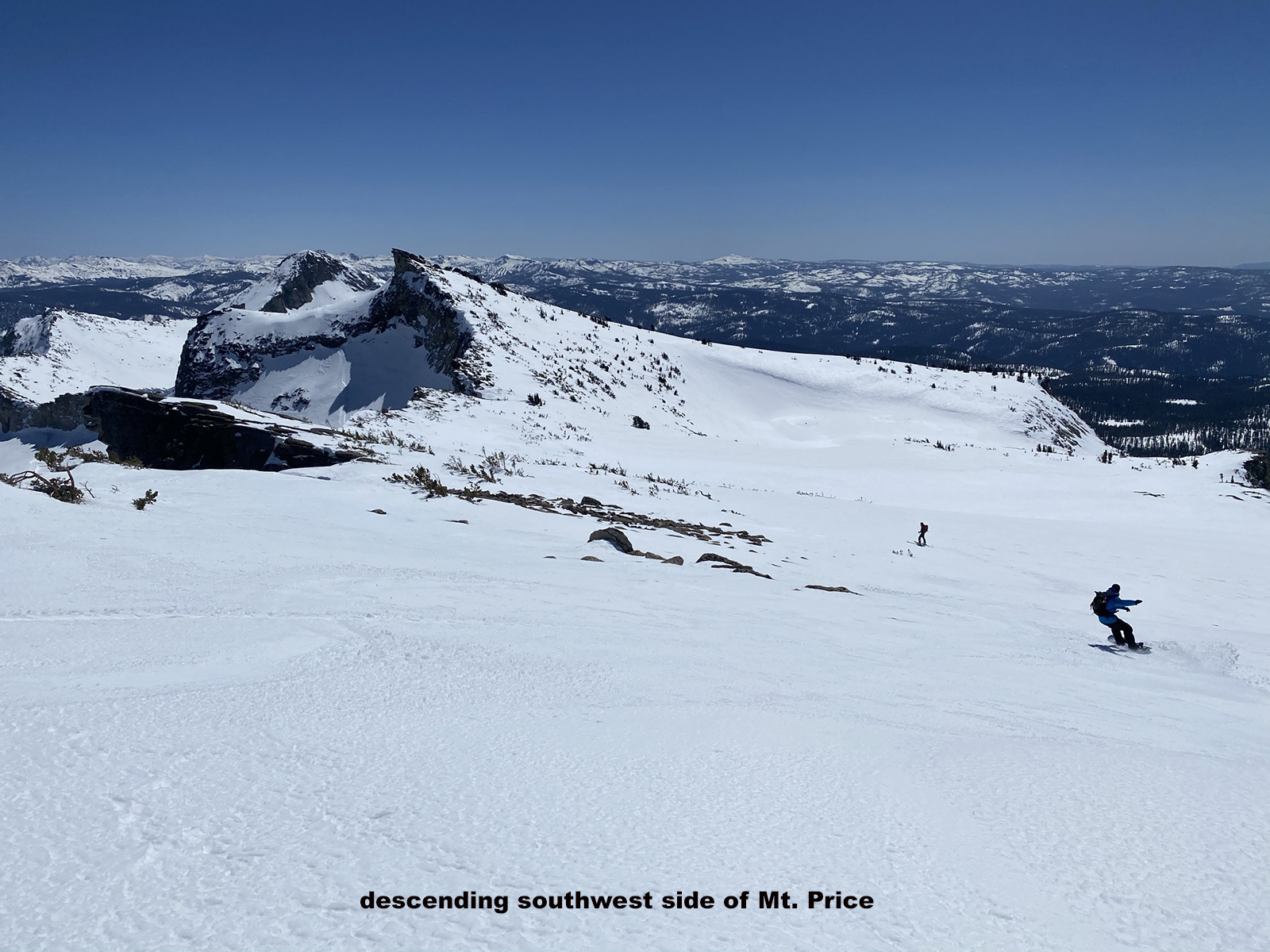
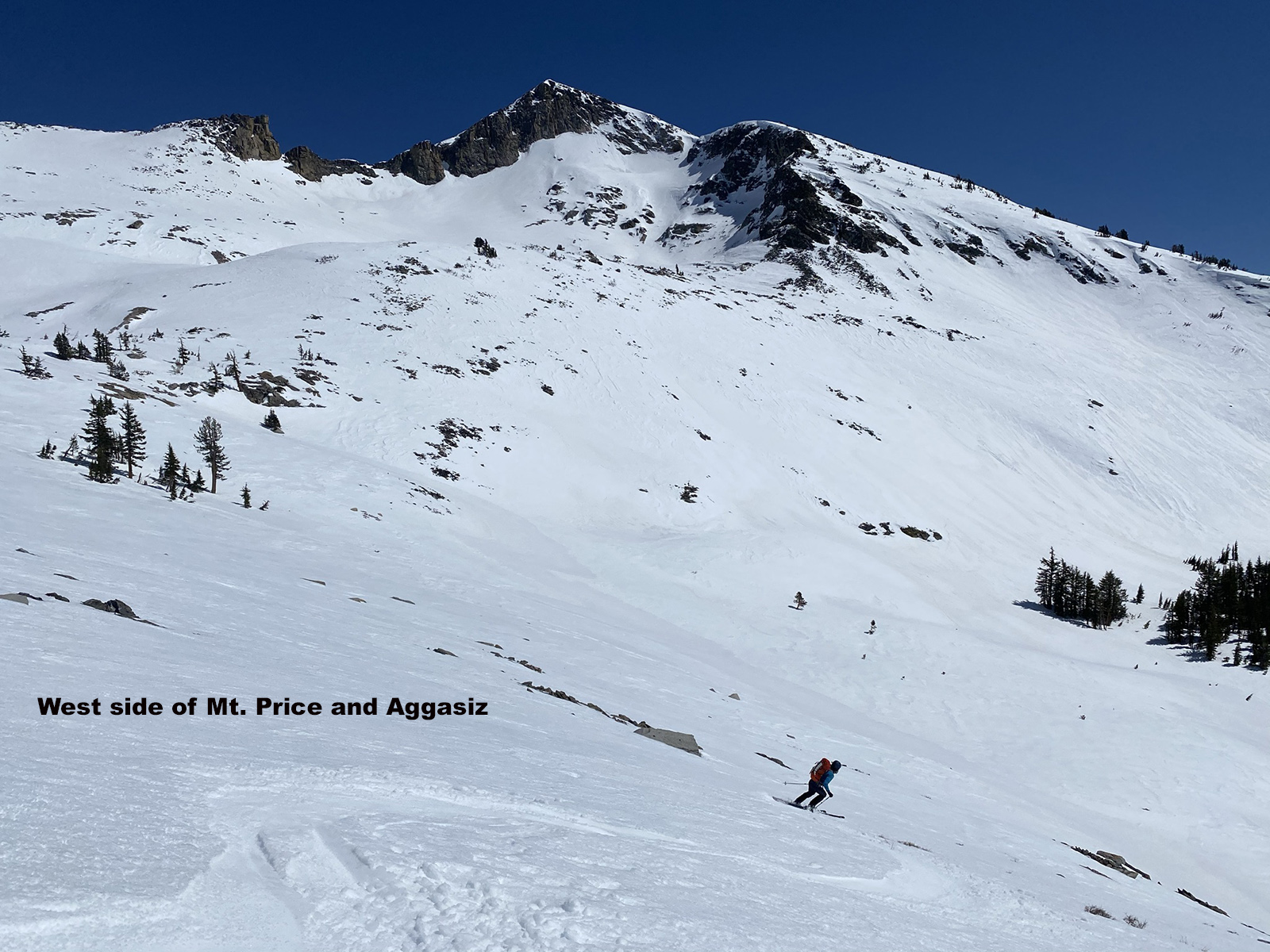
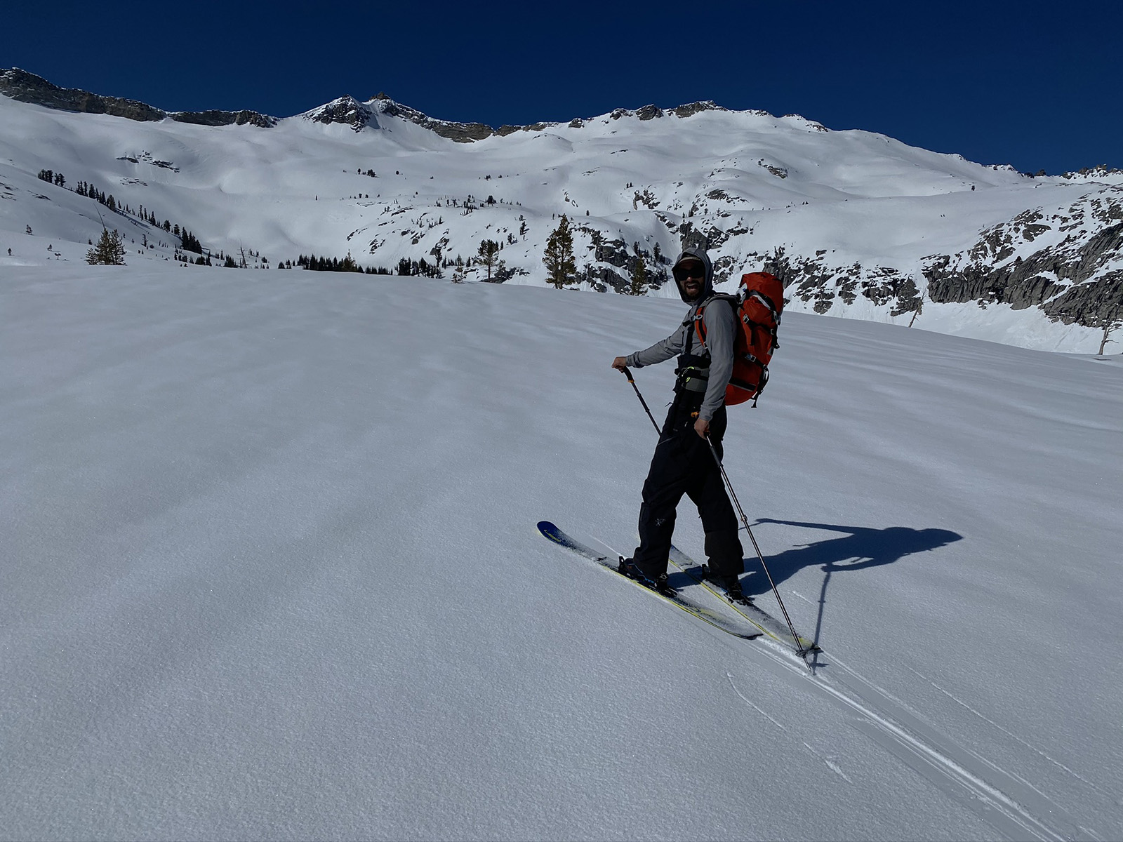
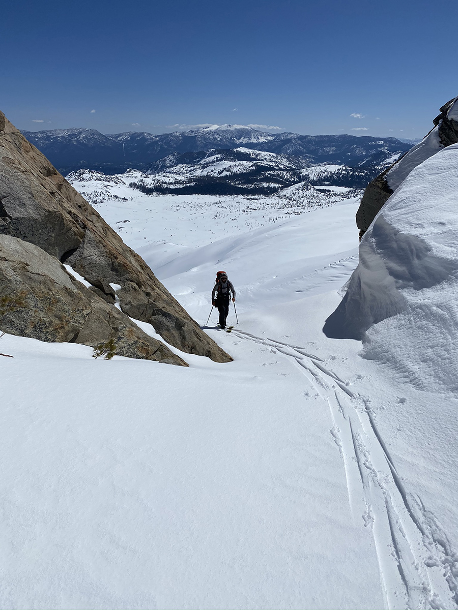
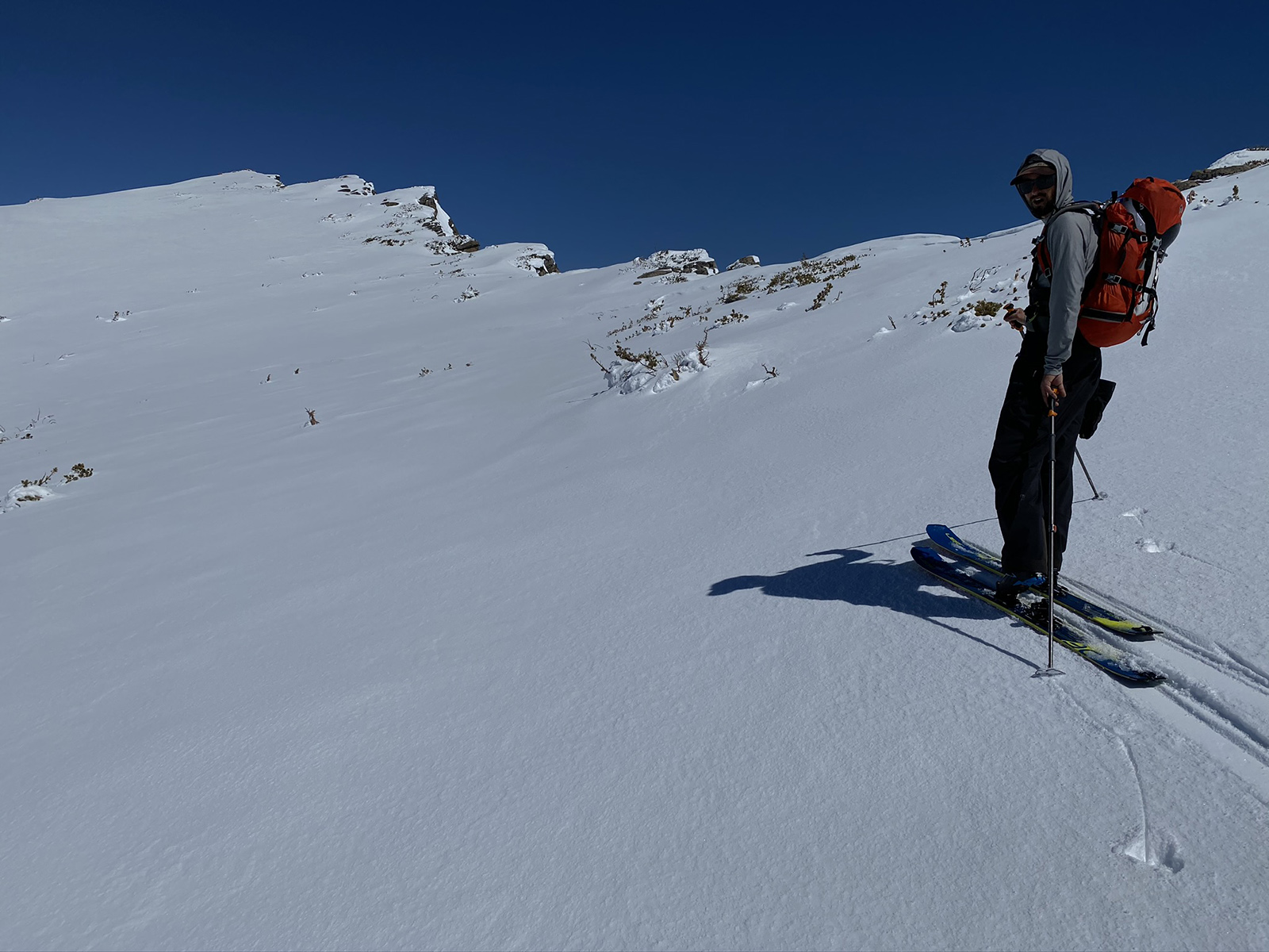
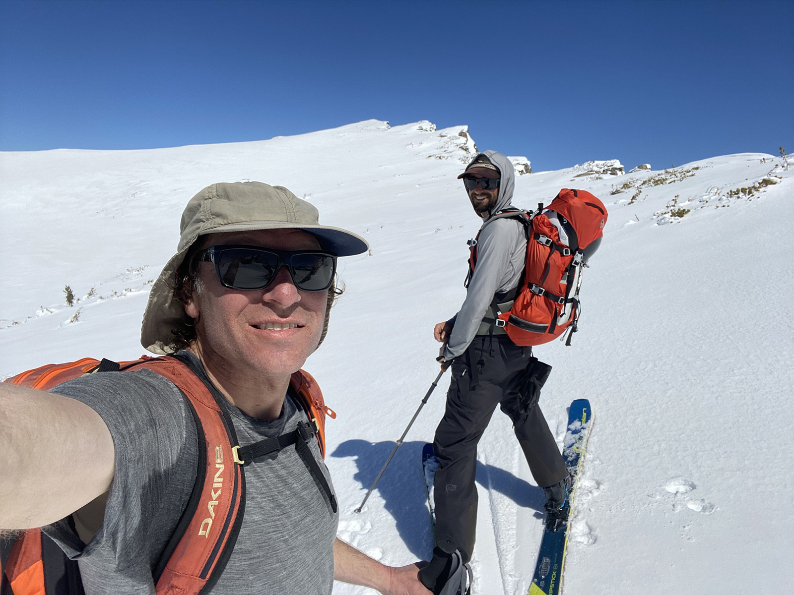
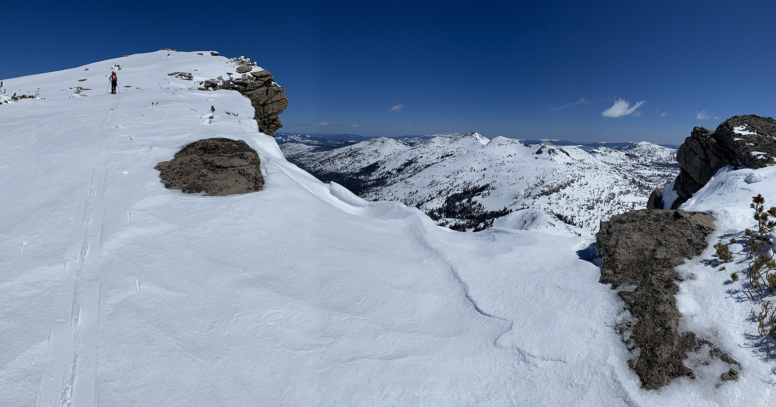
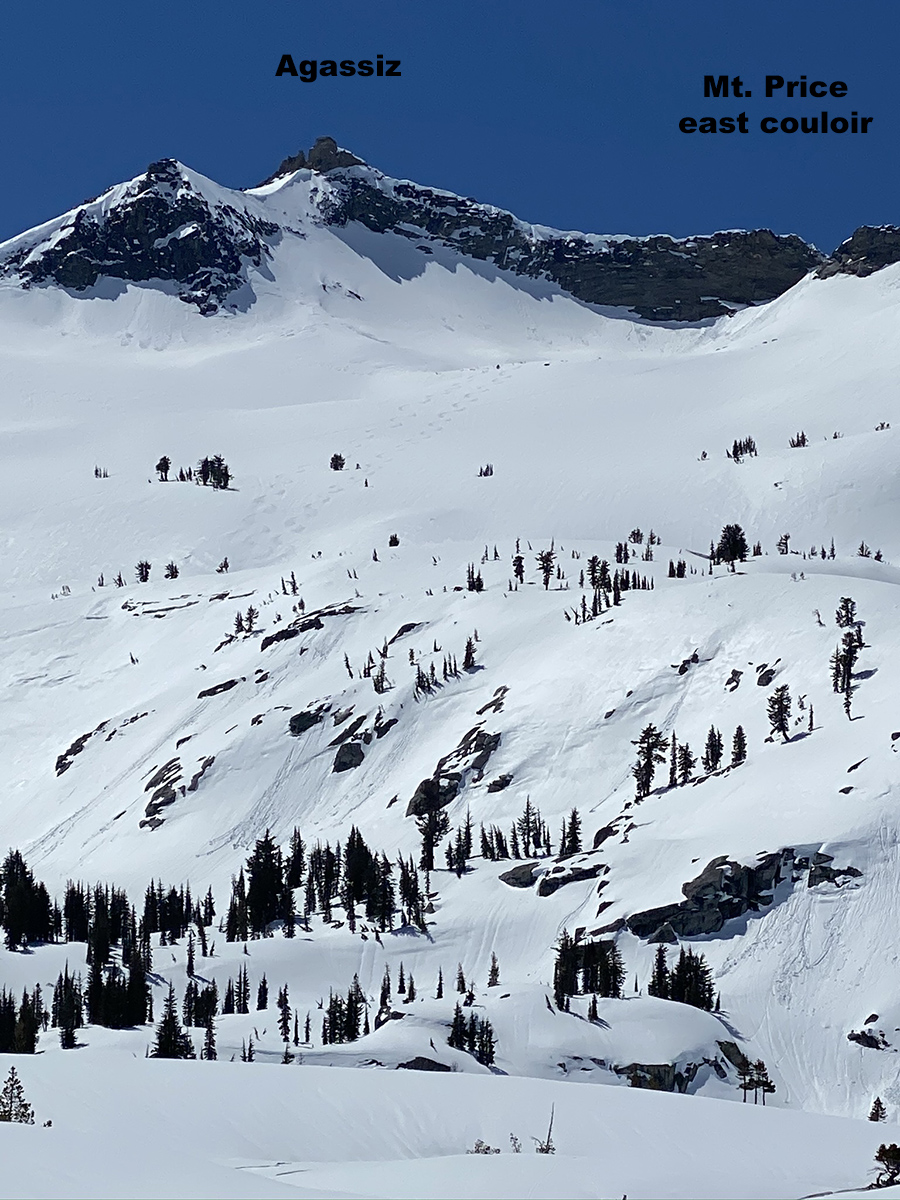
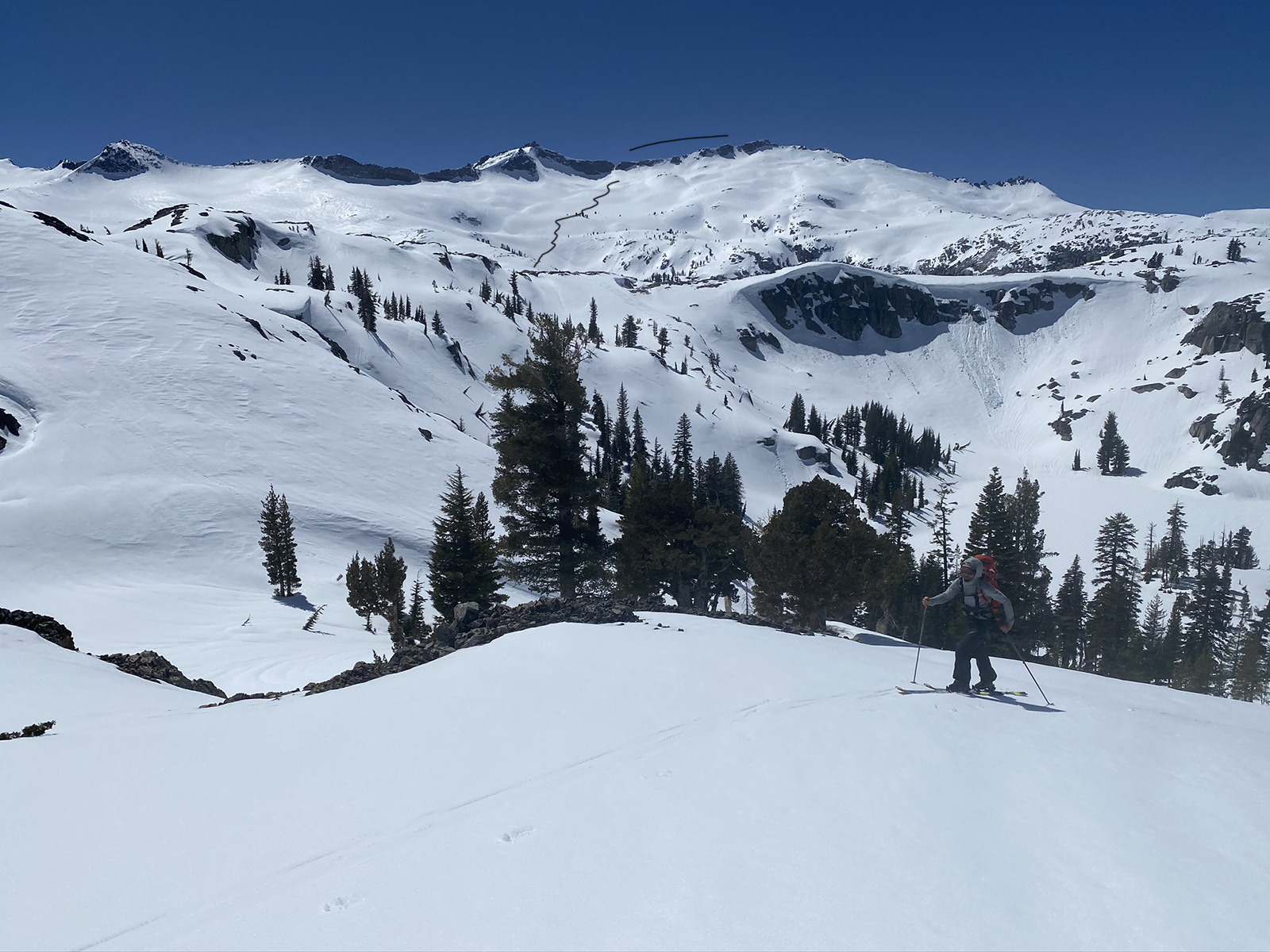
This was my first time finally skiing the north side of Mt. Price. It looks amazing when viewed from the summit of Jack’s or Dick’s Peak. The run starts low angle and increases in steepness as you ski down through a little chute and dump out at Clyde Lake. You will skin a short 500′ hill back up to Mosquito Pass and lake Aloha. In all my Mt. Price climbs, I have always gone through the little east couloir that lies in-between Agassiz and Price. At the col up there, you will see an obvious south facing low angle ramp that leads up to the Summit of Mt. Price. This time I took us up the east face straight towards the top of the ski descent. We didn’t see an easy enough route to climb the last 50′ in ski boots. I have made the climb around the north side of the peak and reached the top but didn’t see the snow coverage working out for us on this day. So, if you want to summit the peak for sure maybe skip the north face descent and just hit the east and south side. The East Couloir and South face provide a more interesting and longer route. But if you are dead set on skiing the north face, it may be a safer bet to do it the way Peter and I went, just B-lining it for the top of the ski descent. We loved the smooth north facing corn ski descent on this stellar bluebird day. Our total day was 13 miles, and this run was about 2000′. On this day we were content making just that one run before heading back on the long journey home. it was a 9-hour day at a casual pace.
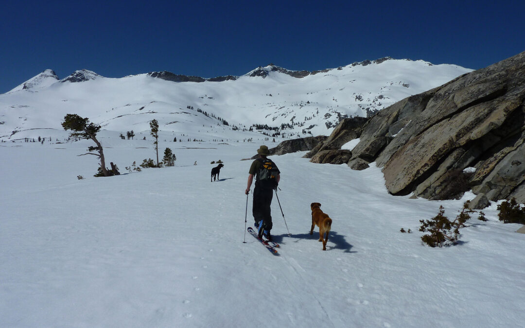
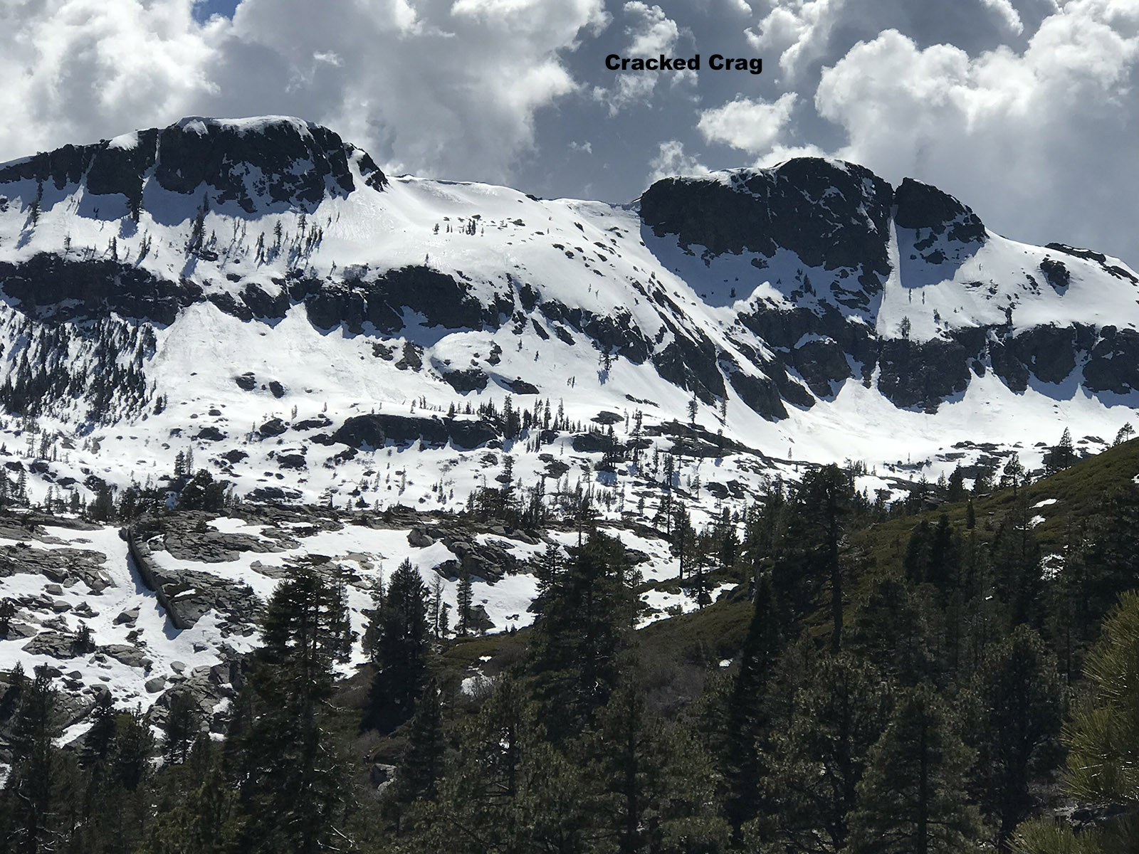
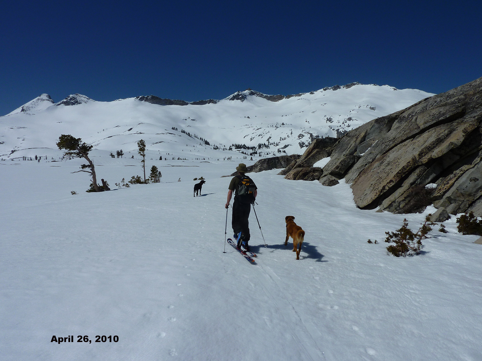
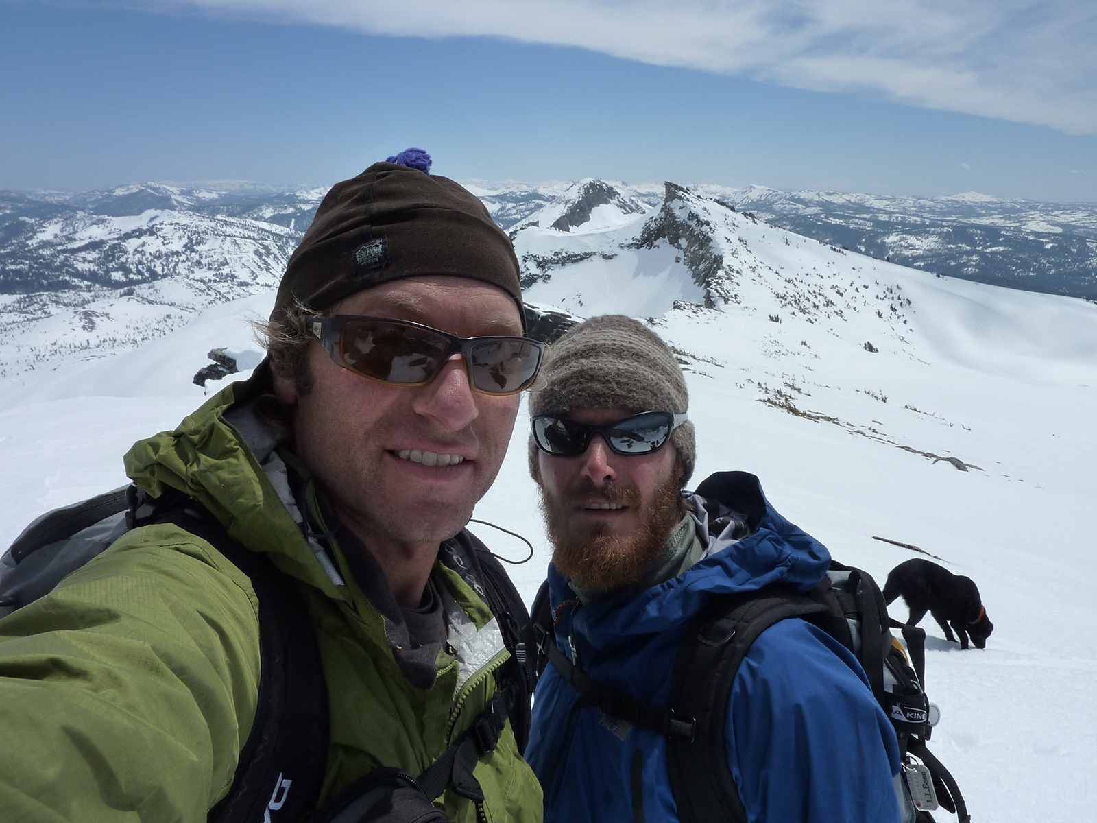
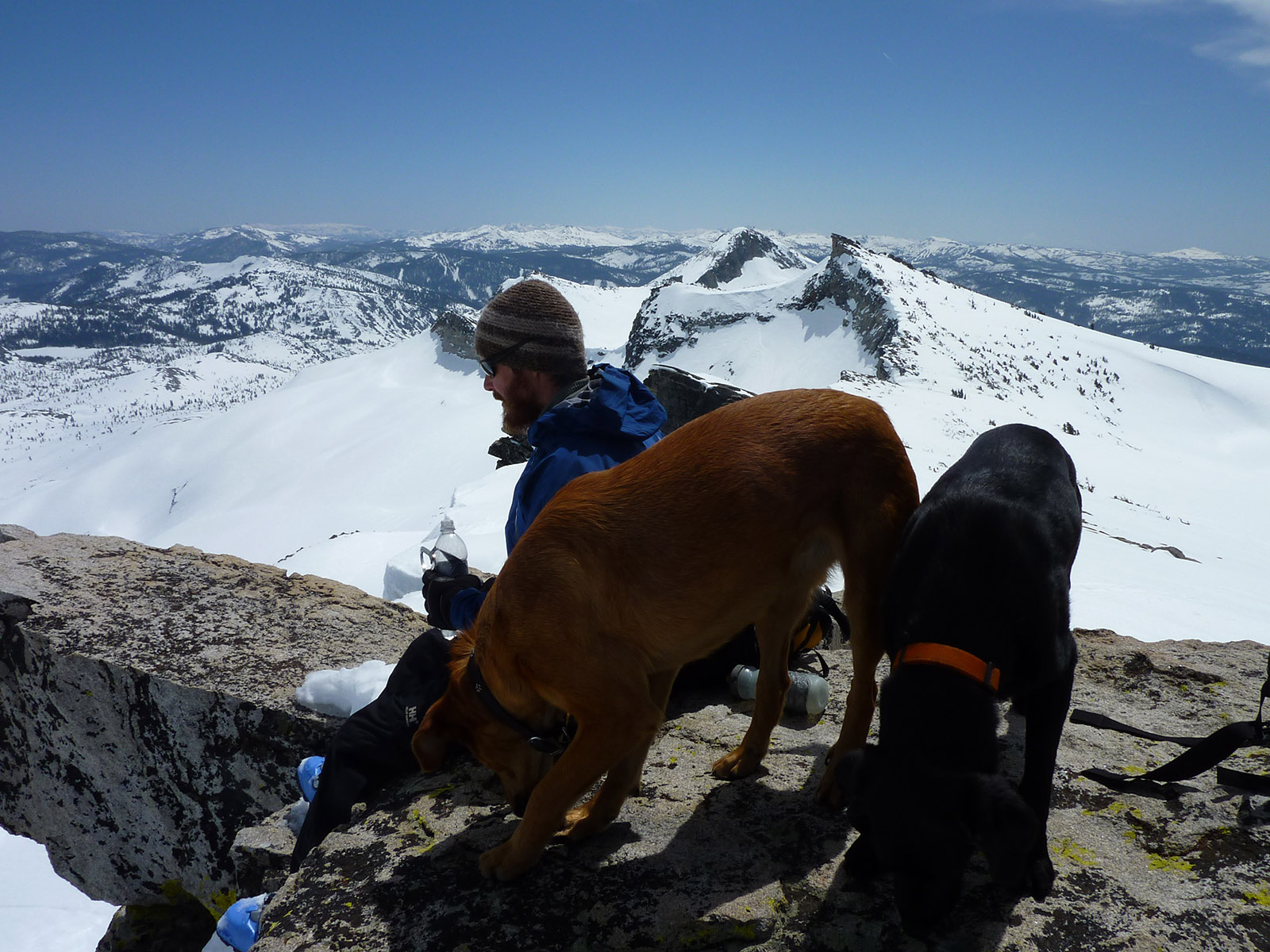
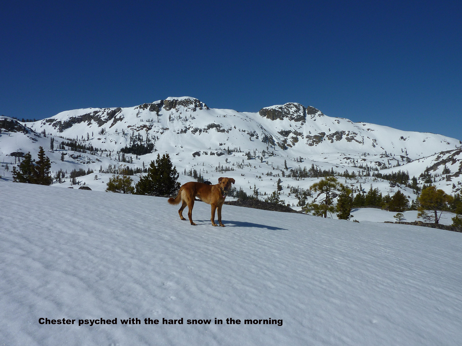
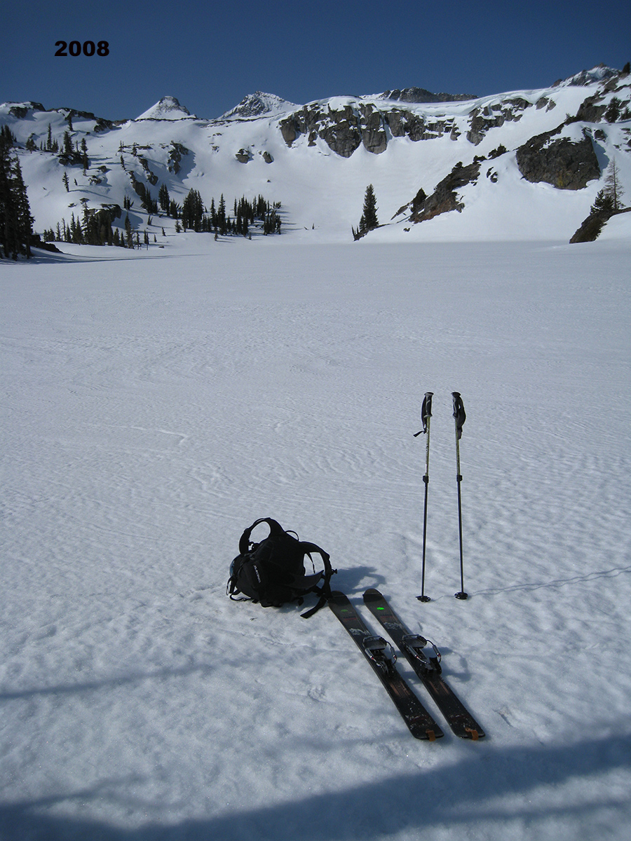
My Second photo group is from 4-26-10 when Greg Loring and I did the one-day mission from Glen Alpine Trailhead with our dogs. I believe this was a bigger winter with an earlier gate opening. We skinned from the car, which allows for a more direct line. We skinned the same way as just described with Peter, heading straight up the east face heading for the peak. We were able to climb up around the north side of the peak to the summit, and then skied south on the crest over to Mt. Agassiz. We dropped in from the top of the steep north slope. Our dogs were in their prime obviously for all this. On the way back to Heather Lake we skinned up to the west side of Cracked Crag and skied down the east couloir. I remember the surface snow was wet sliding on us with narrow rivers of snow coming down in channels. Going out to Mt. Price or really anything in Desolation is a great adventure for strong dogs. Again, go when the snow is firm for both of you.
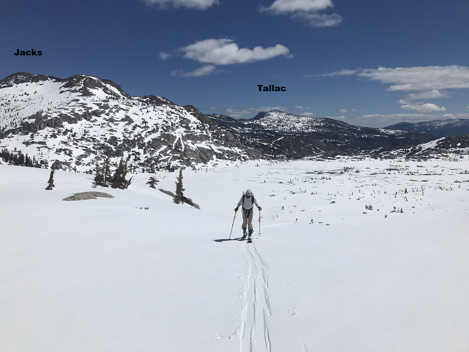
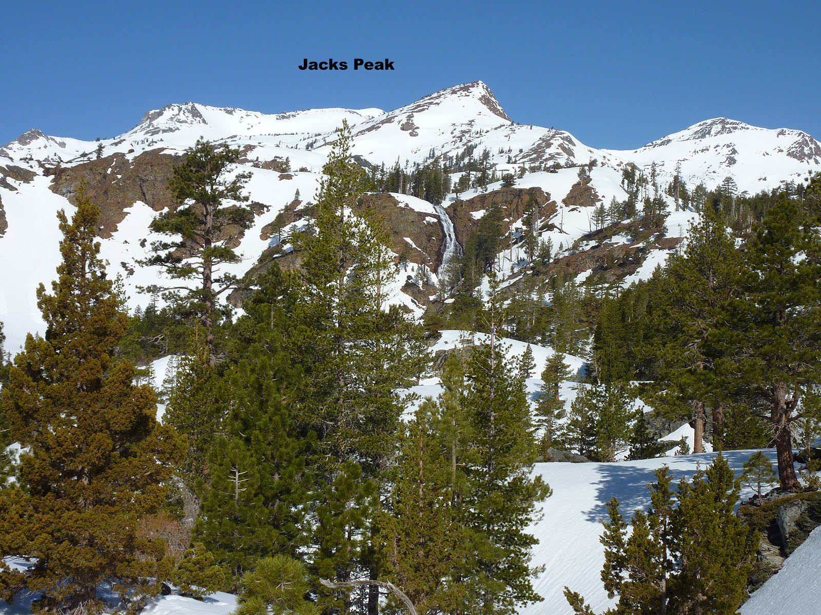
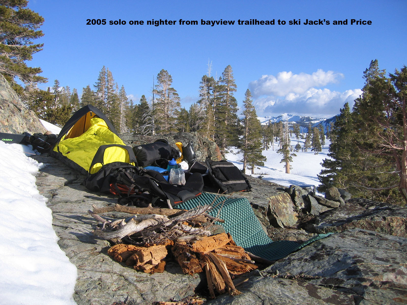
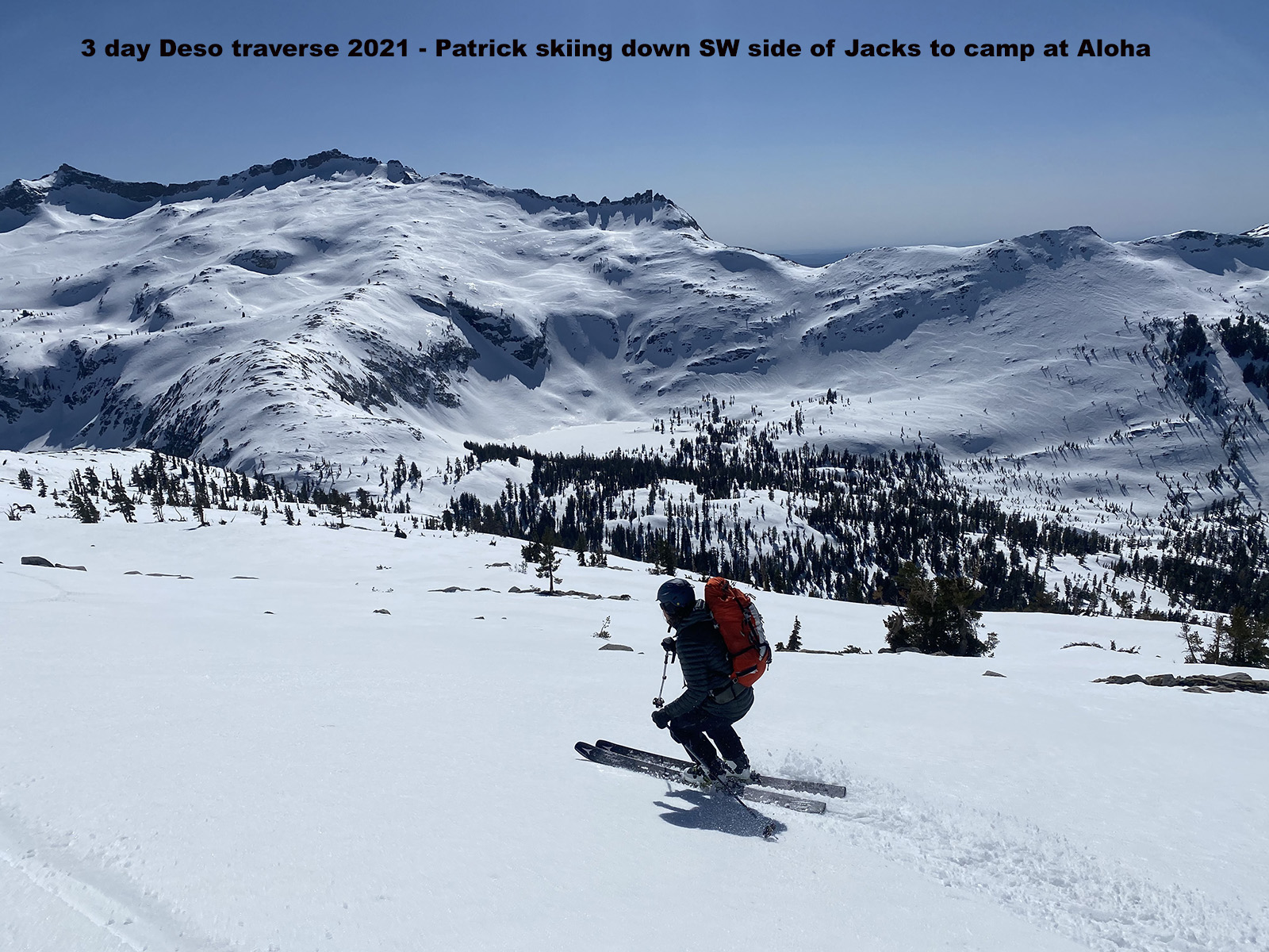
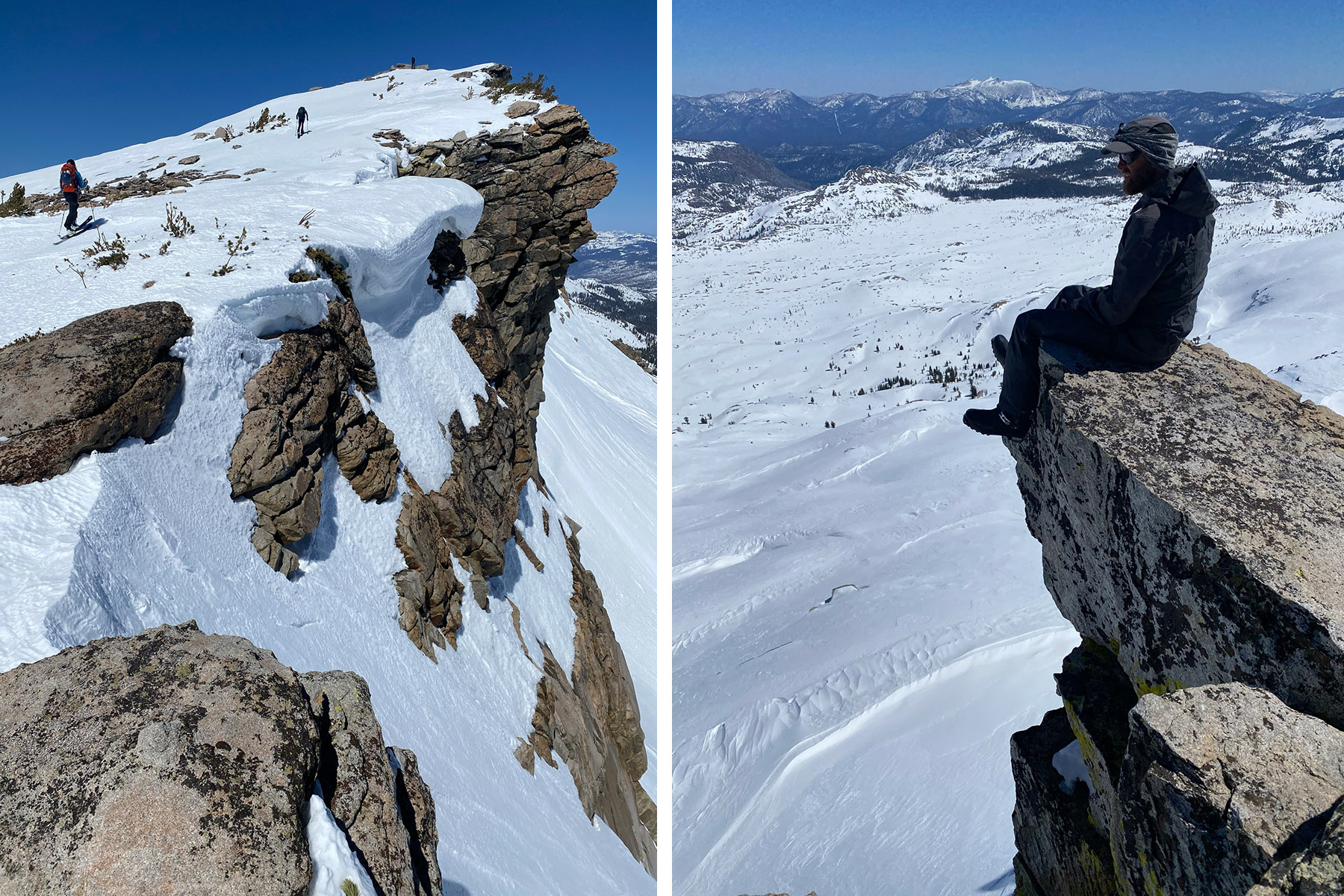
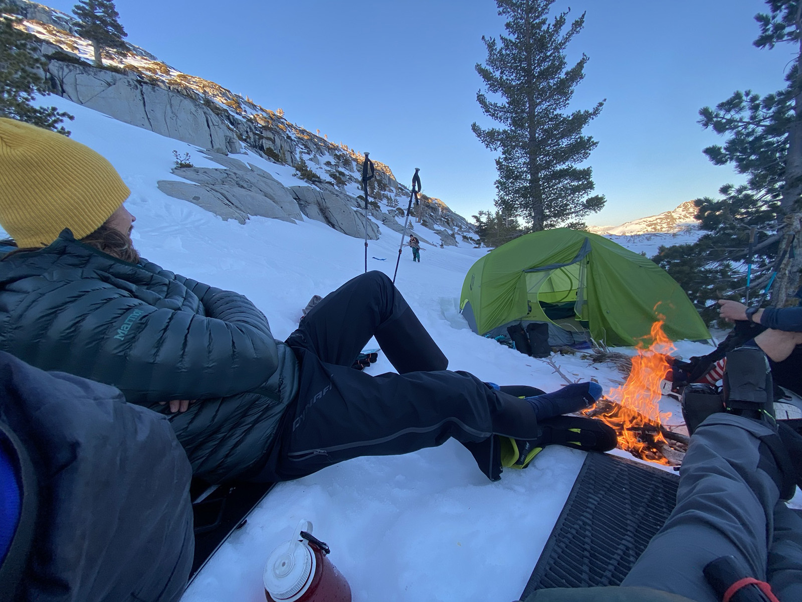
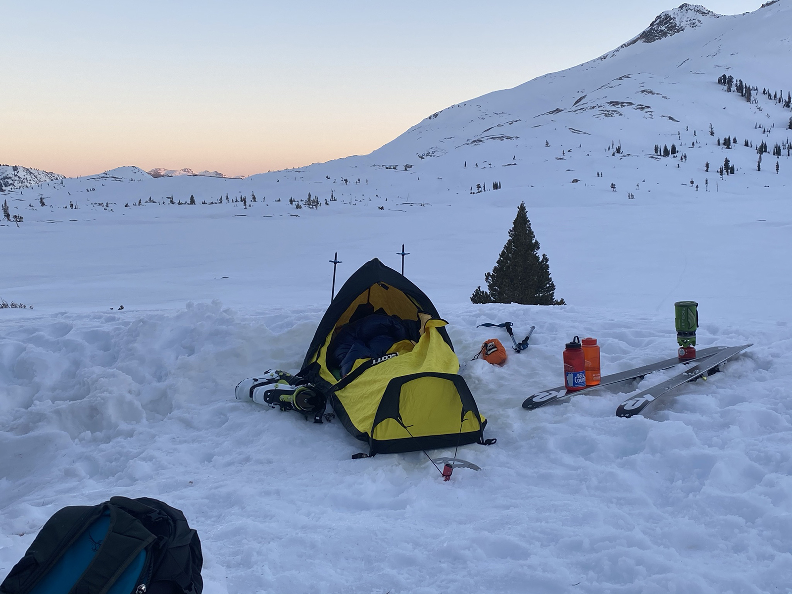
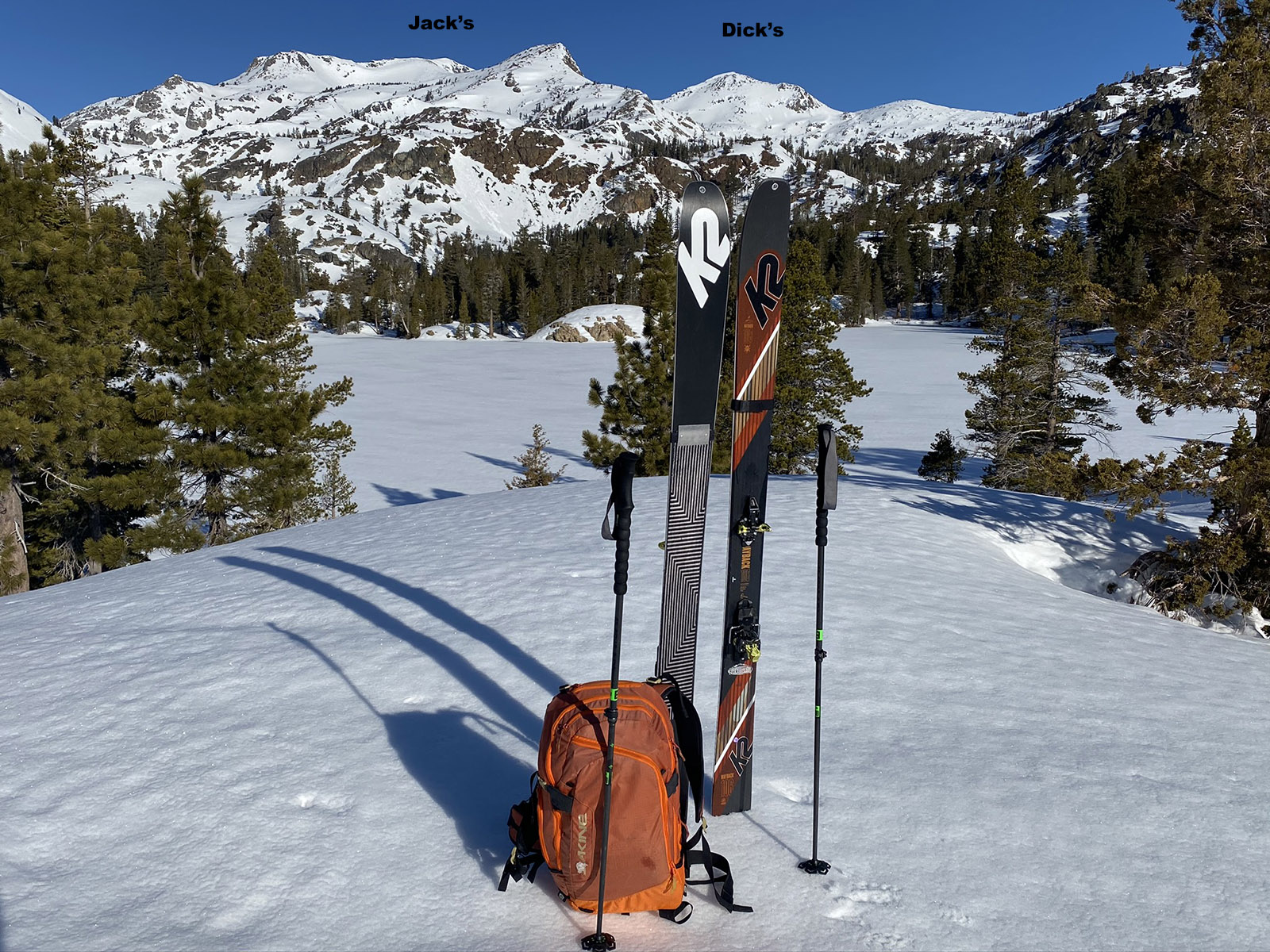
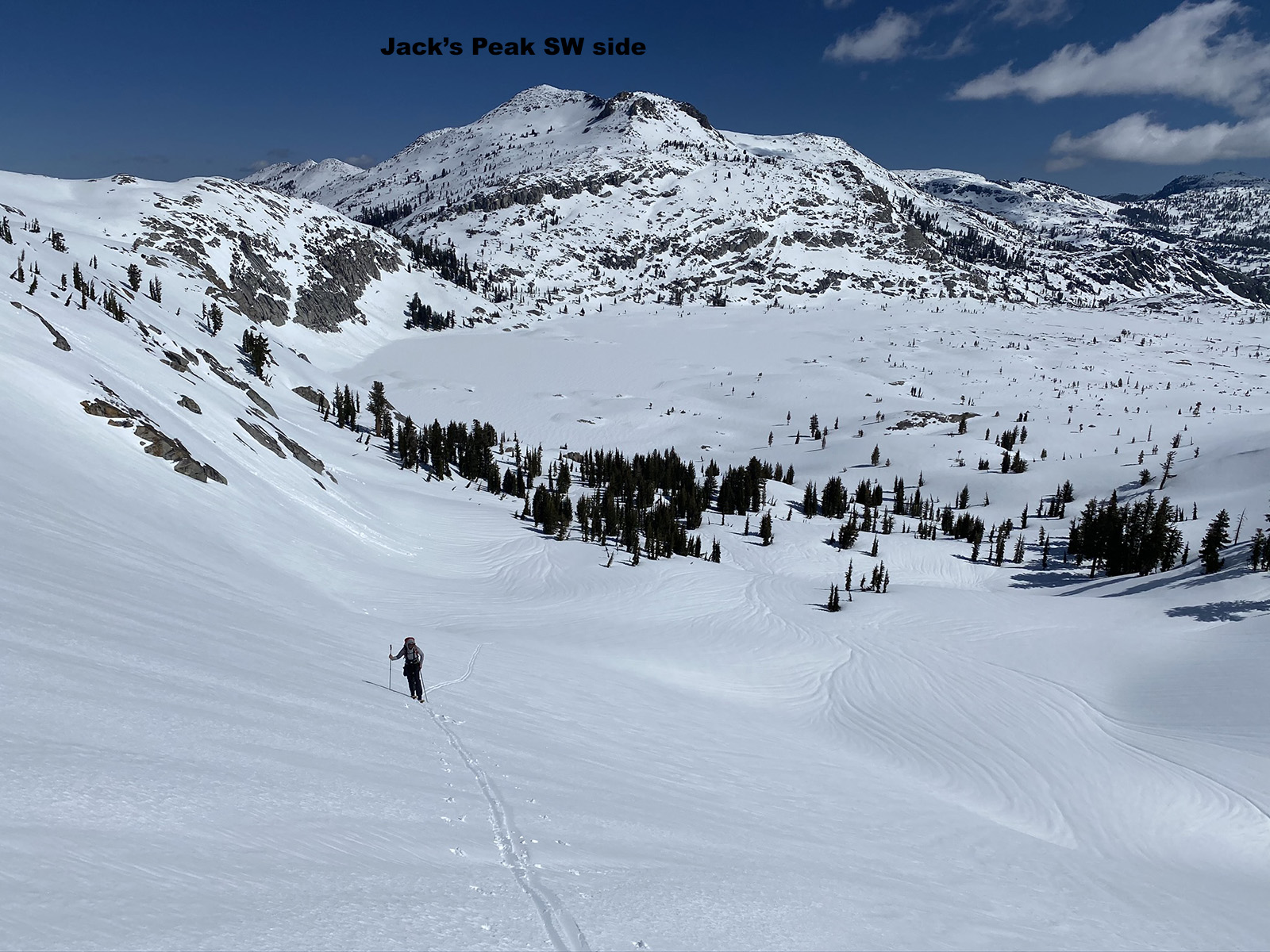
I have also gone out to ski Mt. Price with a bivy and Jetboil a few times. One time I went form Bayview and skied over dick’s high col to reach Jack’s Summit. I love skiing down the south side of Jack’s Peak to Lake Aloha. I usually just go to Jack’s south side from Glen Alpine. Jacks has a fun mellow corn run and amazing views. There are some short steep cliffs you can snake through if you traverse high and to skiers’ right side along your descent. Start at Bayview trailhead, ski down Jack’s South Side, and sleep at Aloha. Ski a peak or two in the morning when the corn is perfect, and schlog back out over Janine Peak and out Cascade Drainage to the Bayview Trailhead. The reason to do this is because the Fallen Leaf Gate had not opened yet.
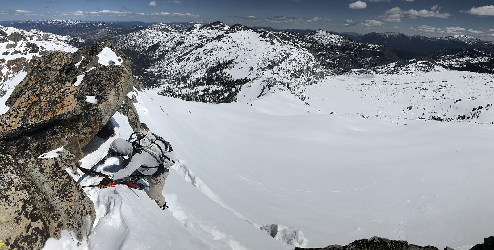
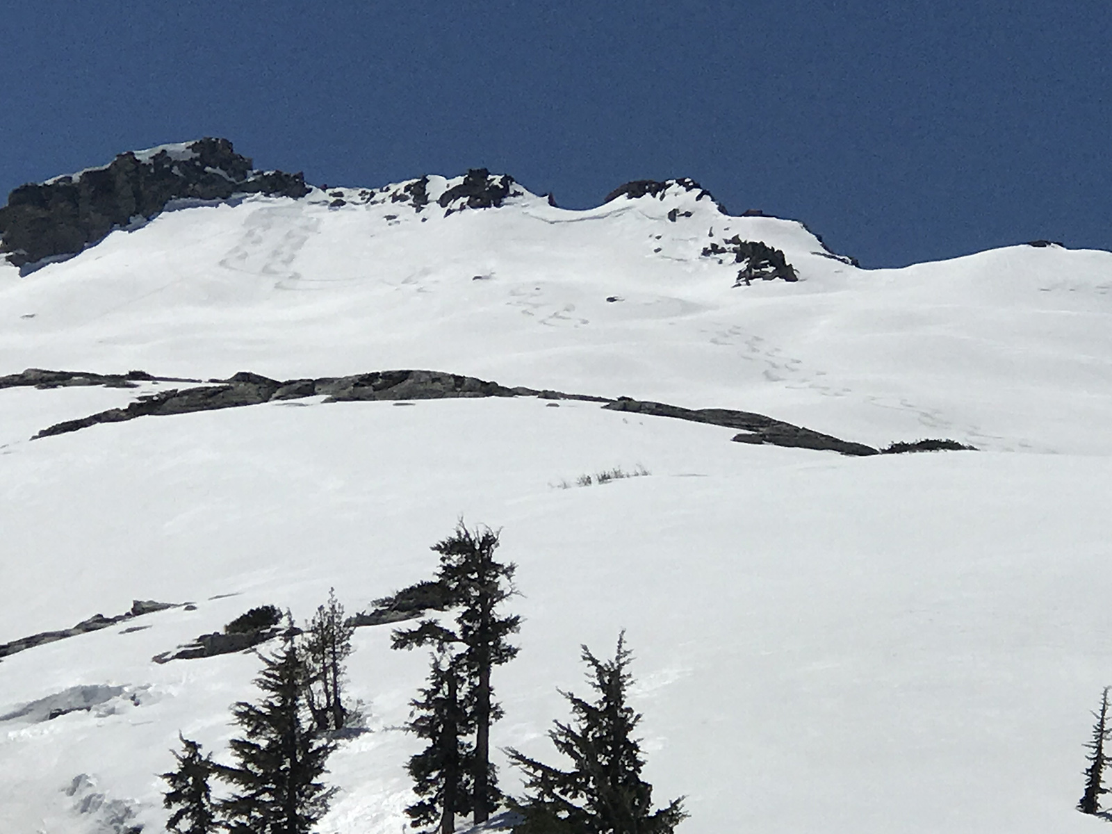
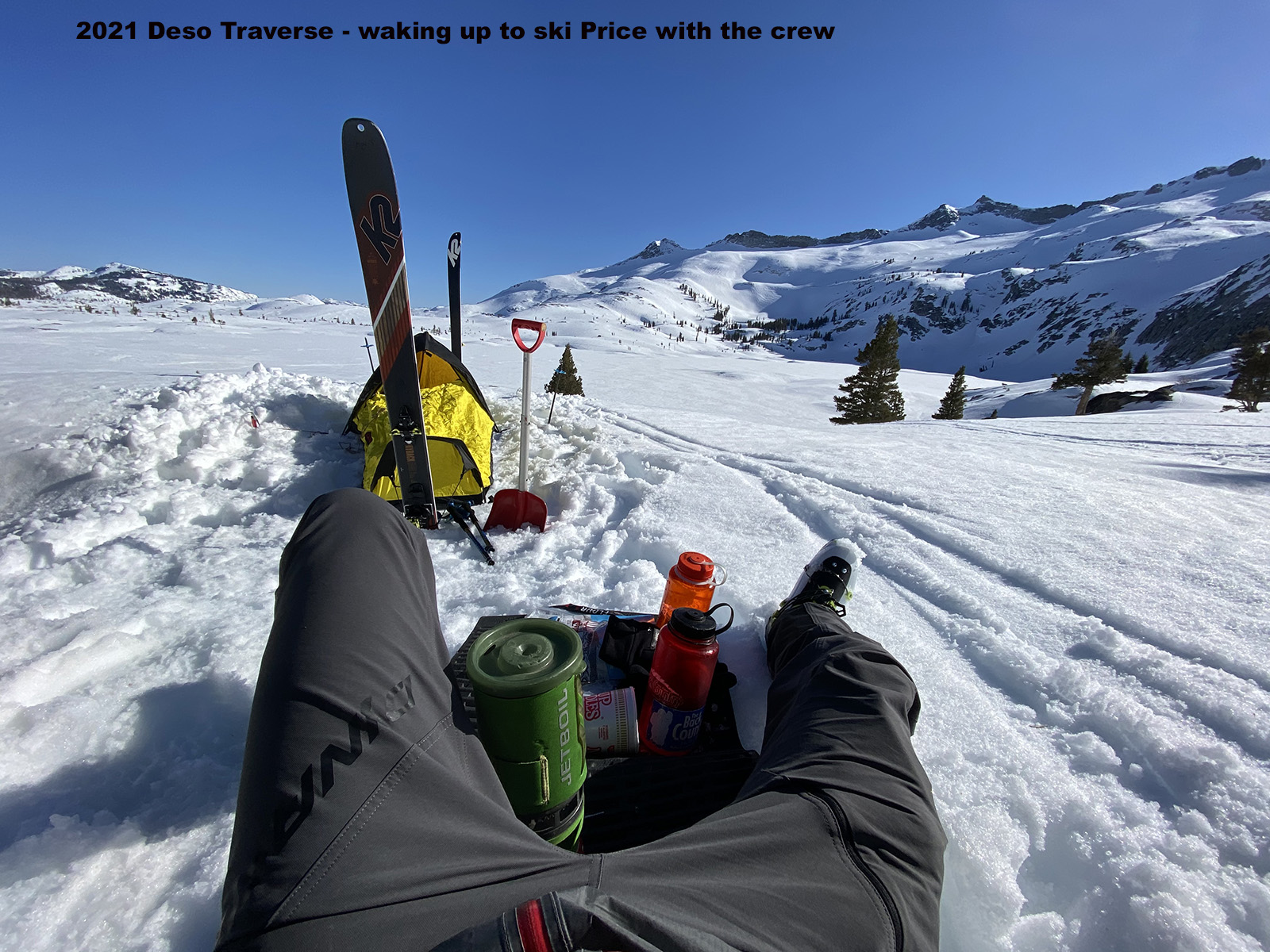
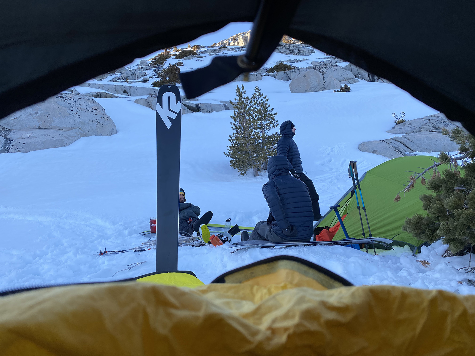
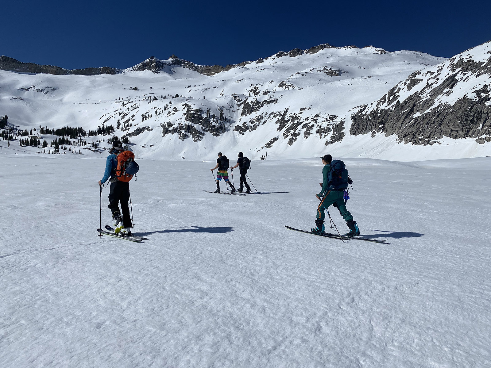
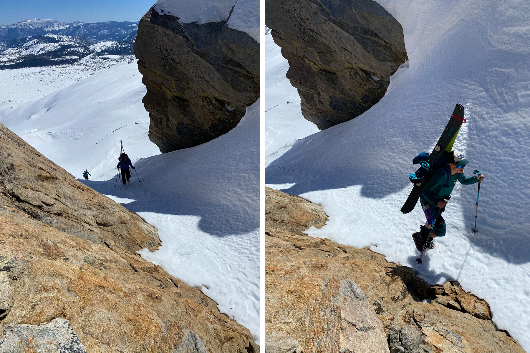
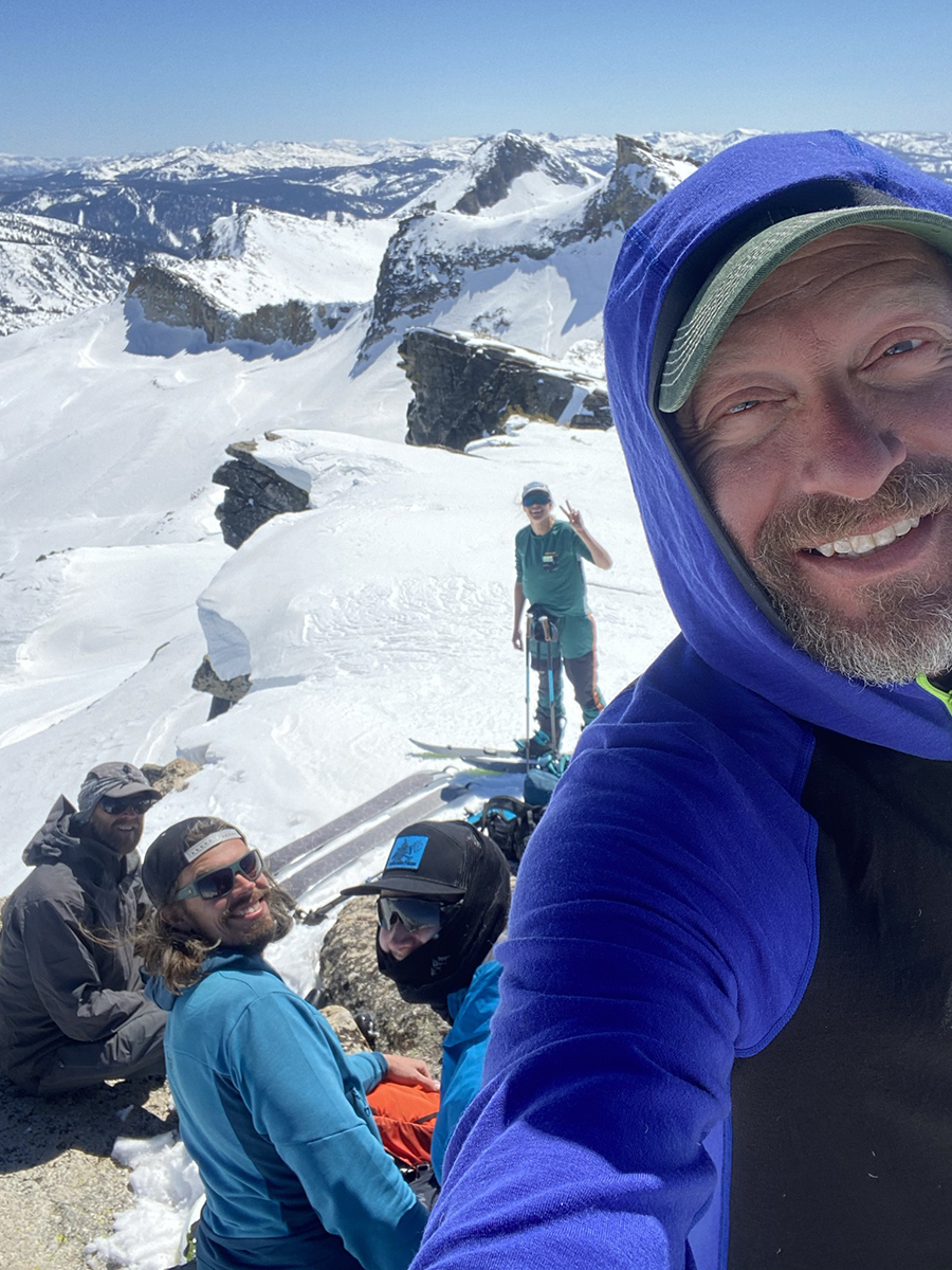
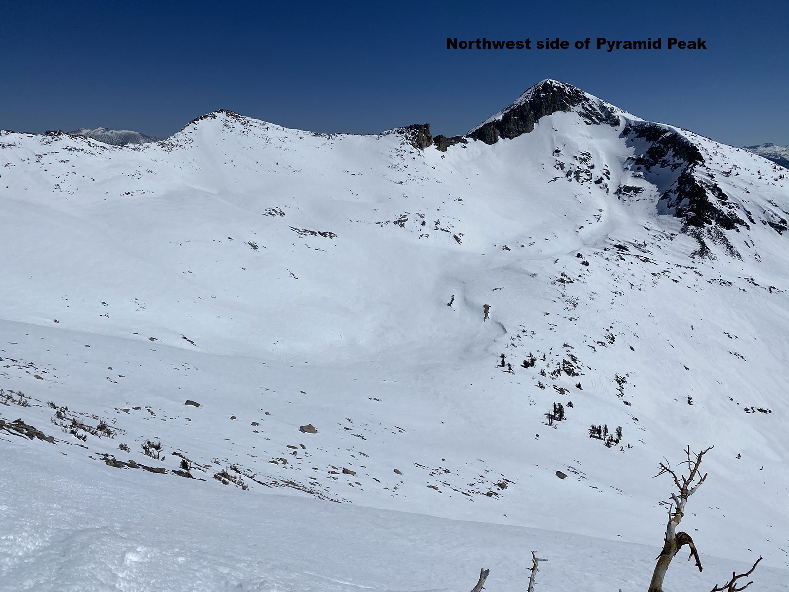
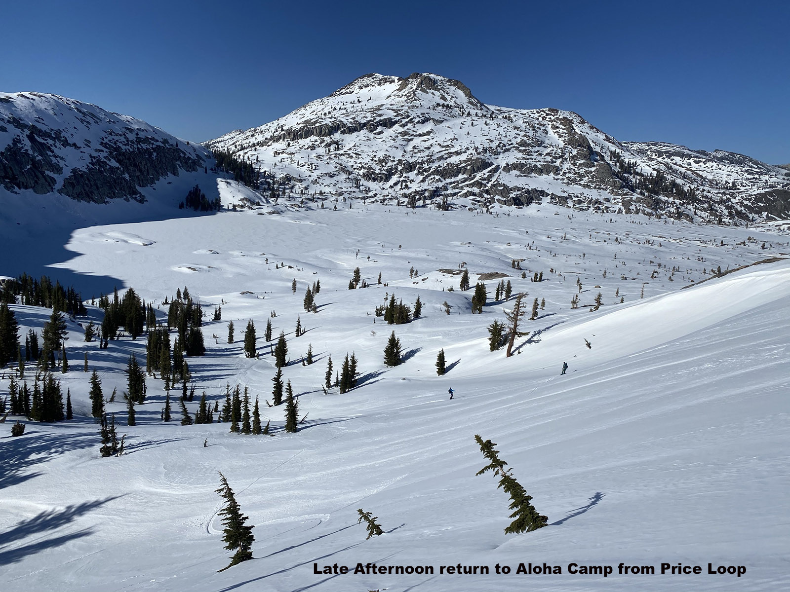
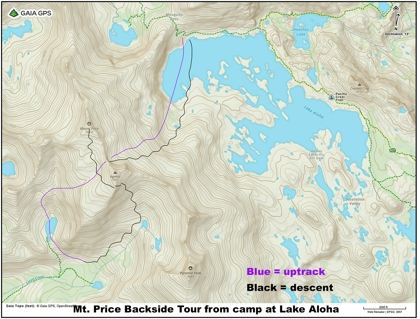
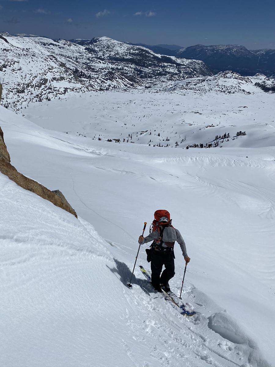
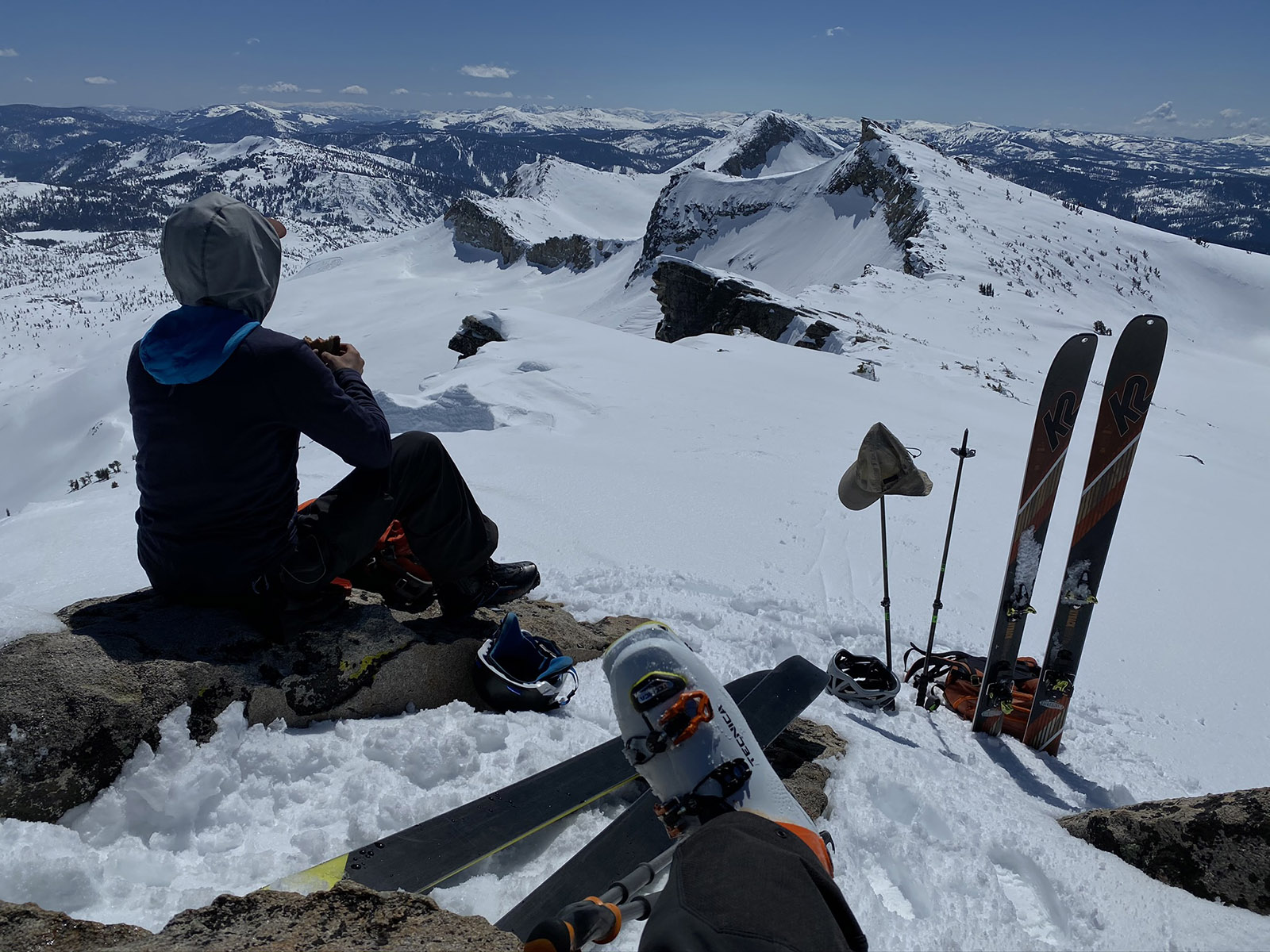
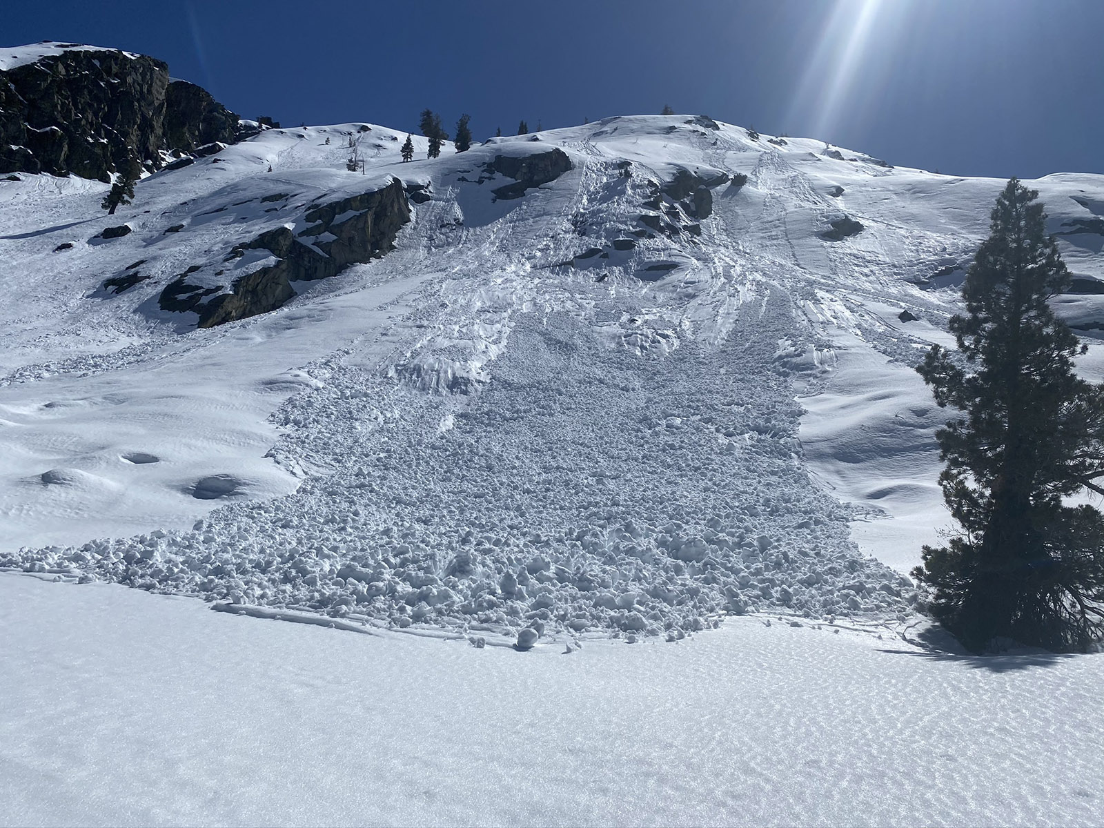
In 2021 I took some of the shop crew on a 3-day traverse of Desolation Wilderness. We started at Bayview Trailhead and got picked up on hwy 50, after skiing Pyramid on the last day. We started the tour in the same way as previously described, getting to Jack’s summit on day one. We opted to ski down the Southwest side to Lake Aloha near Mosquito Pass to setup a camp. Late day west facing corn skiing is a rare treat and hard to find. The low sun angle gives make the now and rocks glow. On day two we went up Mt. Price through the east couloir and south summit bowl. Since it was still early in the day, I took us on an exploratory ski down to Lyon’s lake in a loop. I included a map of this at the end of the photos. By the time we got back to the col between Price and Agassiz, the east couloir had refrozen. As small and cute as this little “couloir” is, a slip-on firm snow would send you off the side into a longer fall on a steeper slope. A few of our crew downclimbed with crampons and axe in the top 200′ which is off camber and narrow.
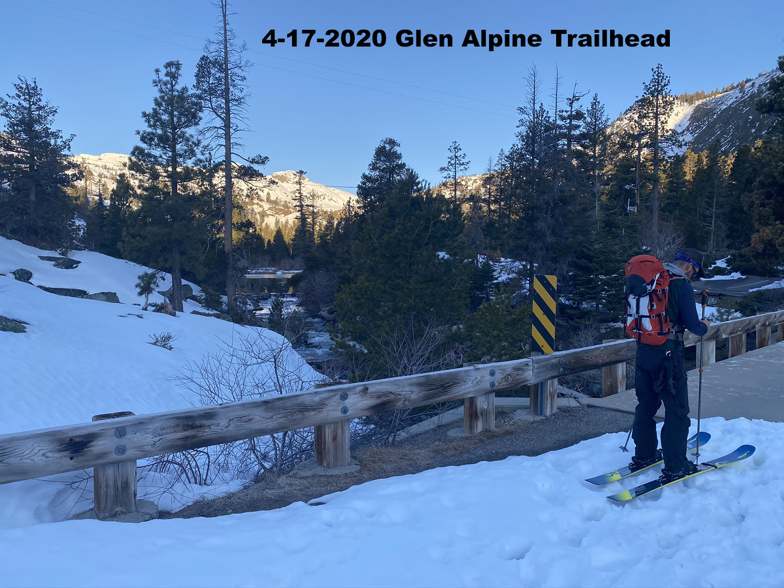
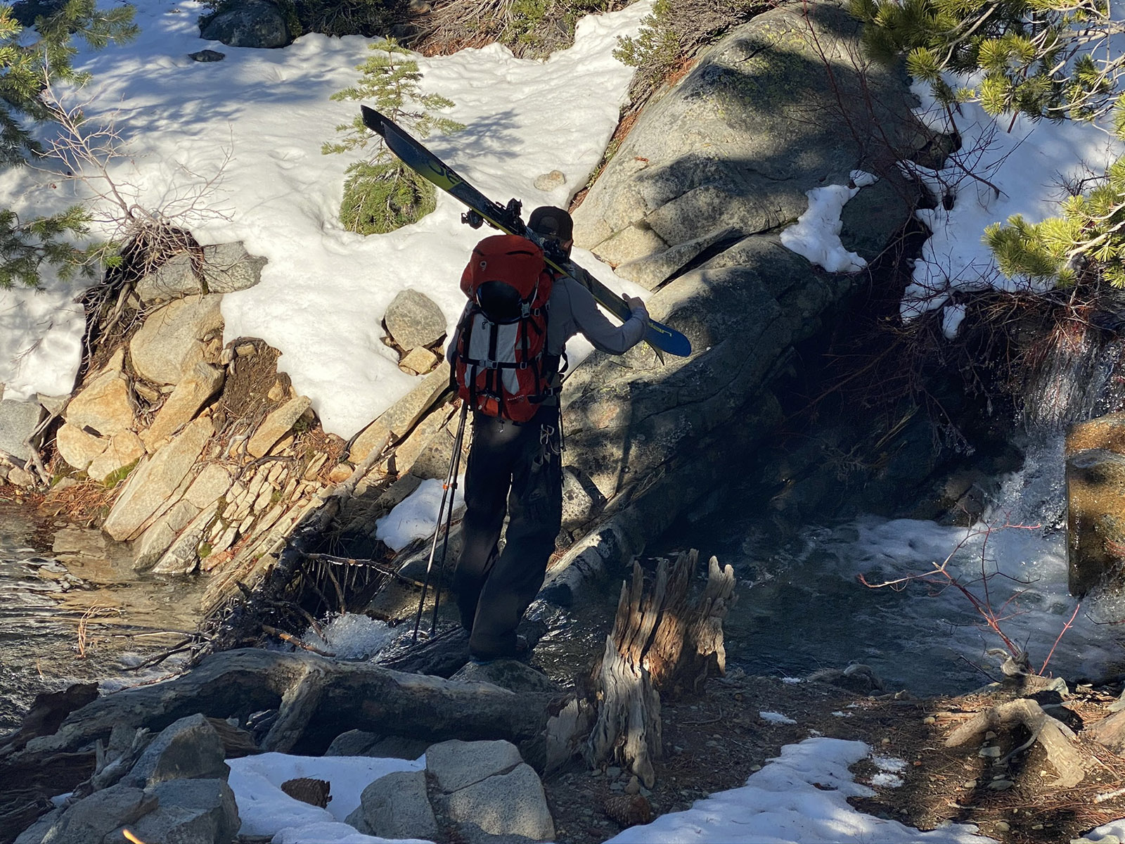
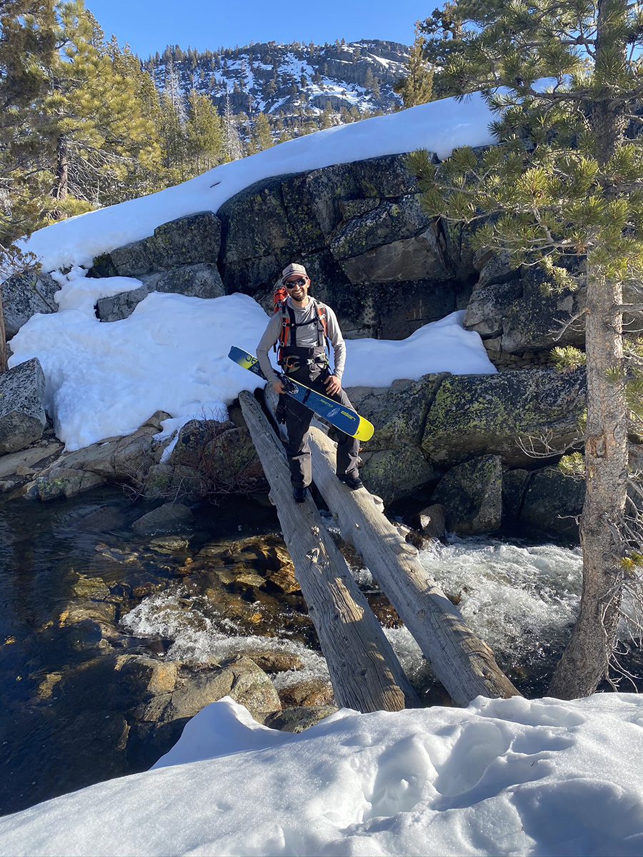
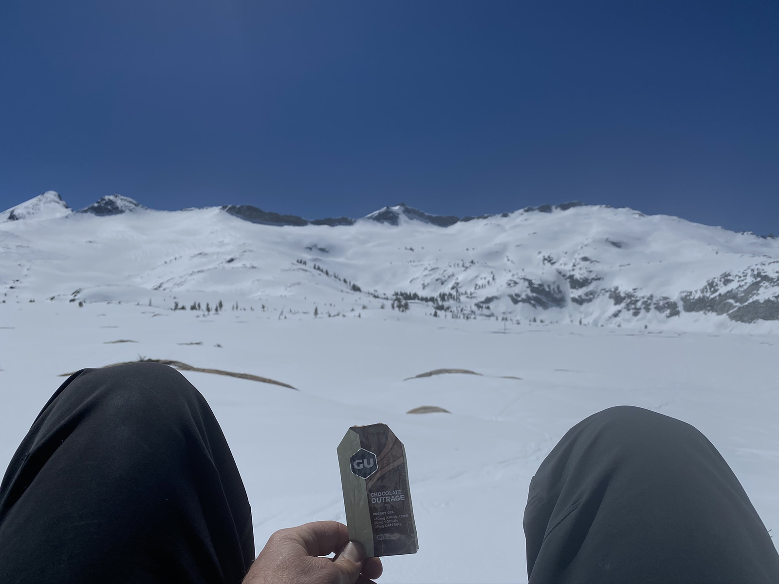
In one last example of a Mt. Price ski tour, I went out on 4-17-2020 with Danny from The BackCountry and did what I would call the classic tour. The snowfall in this year of 2019/2020 was a pitiful 144″. I forget how long the gate had been open to the trailhead, but we actually found snow at the car. we walked for about 2 miles before skinning was consistent and found a fairly healthy-looking snowpack all the way to the summit of Mt. Price. We skinned up to the east couloir and walked through it easily, then to the summit. I remember there was no wind and we enjoyed a long hangout session up there. Not a ski track in sight all day. On the way back we could glide with just a few side steps here and there, all the way around the south side of Grass Lake. I believe we made it all the way to the car on snow.
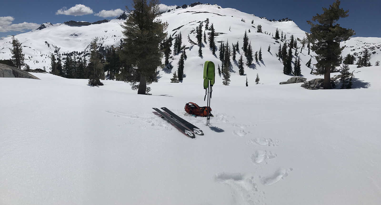
Mt. Price is a small peak, and just a bump on a ridge. And it’s only 2000′ of skiing. But it’s amazing. Going out there will be rewarding and inspiring no matter what the conditions are like. But you are nailing it in a big winter, if you go right after the Glen Alpine Trailhead opens. Go light, bring kicker skins and ski crampons. Make sure temps are predicted to freeze the snow the night before. Leave the car before dawn and use your phone GPS app like Gaia and bring the Deso map as well. Grab a strong dog, human, or pair of headphones. Set your expectations low for steep shredding, and high for spectacular wilderness appreciation. Ski Jack’s instead if you are short on time. Check out the long slope in-between Agassiz and Pyramid Peak. Danny and I skied that one combined with Jack’s Peak South Slope in 2022. We brought my dog. That was about a 4500′ vert day and maybe 13 miles.I included photos from that day in the reply to this post. Go ski Mt. Price and leave your own reply here on this website with some photos of your crew!

Looking for awesome ski and splitboard tours in the Sierras? We’ve got write ups on many common and uncommon tours curated by the owner of the BackCountry, Mike Schwartz.


