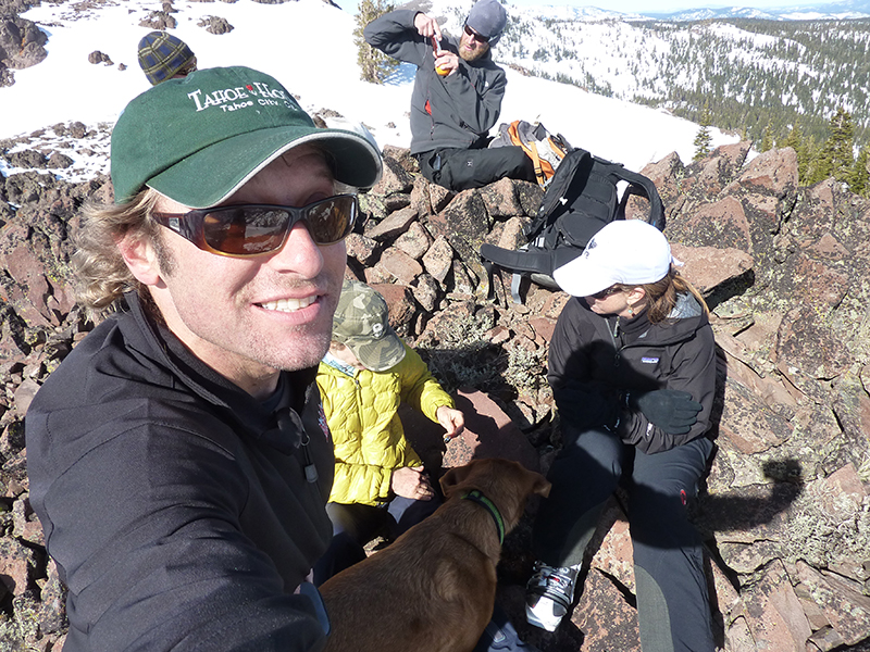
Stubbie and Rich
late 90’s
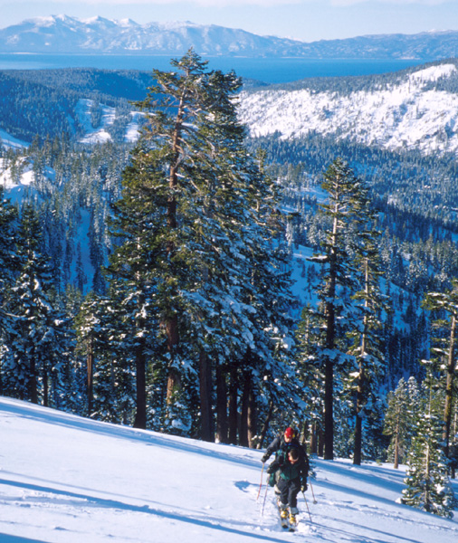
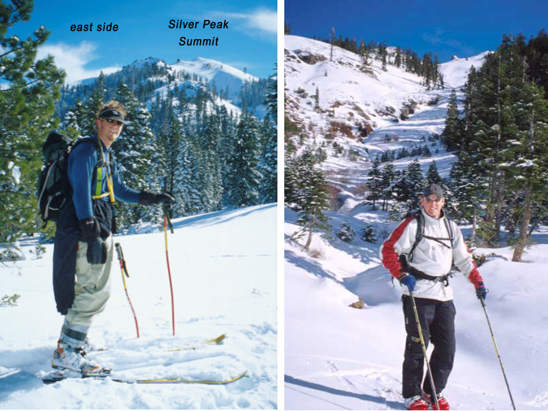
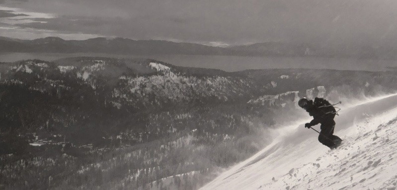
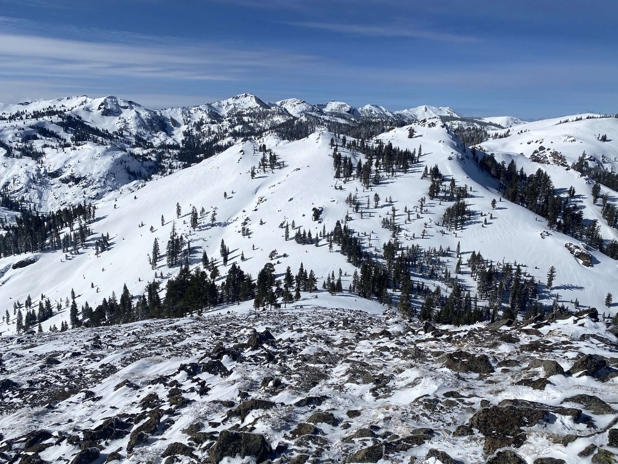
Silver Peak East Bowl
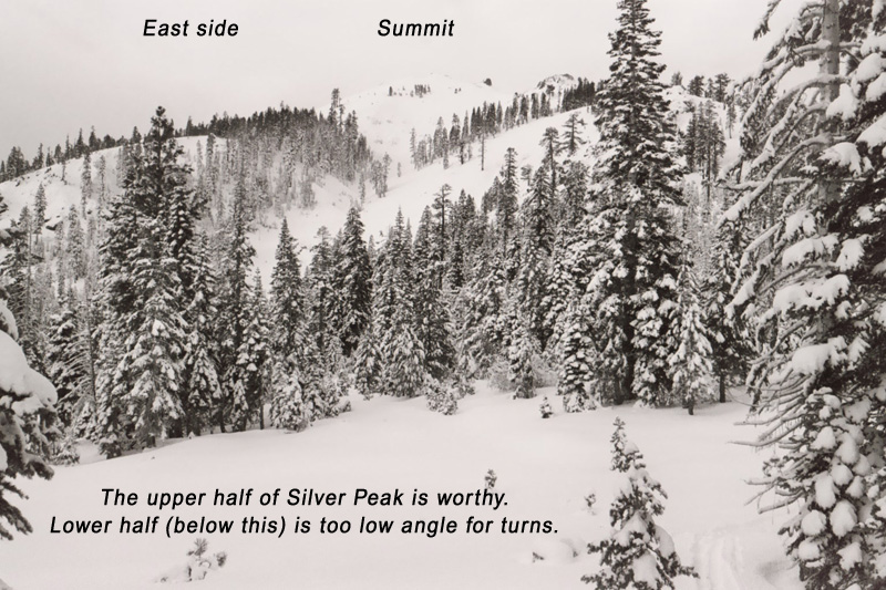
East Bowl
John Svahn!
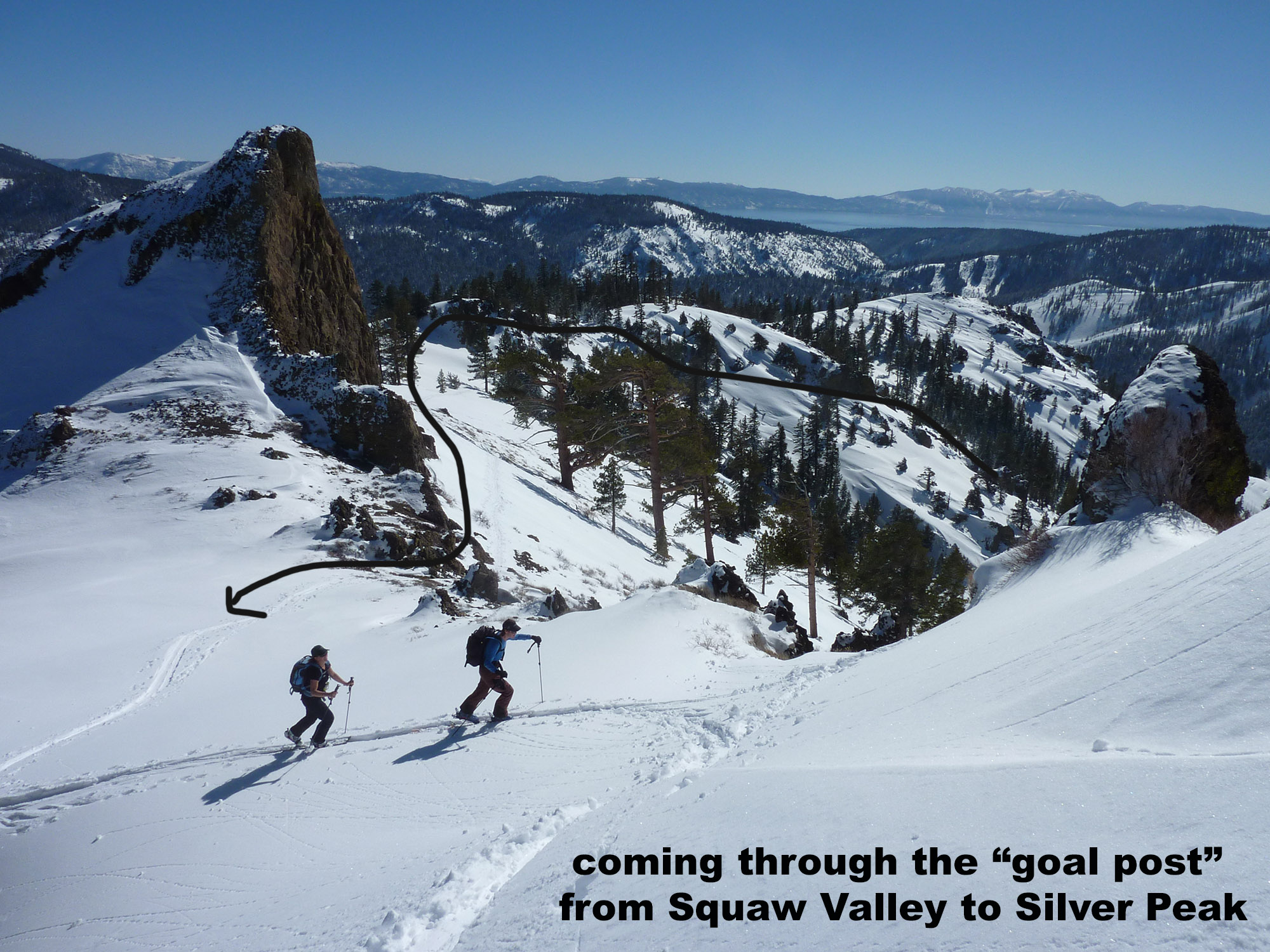
the Goal Post
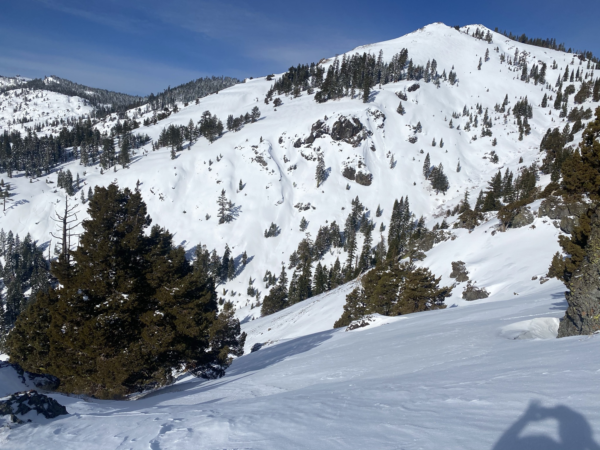
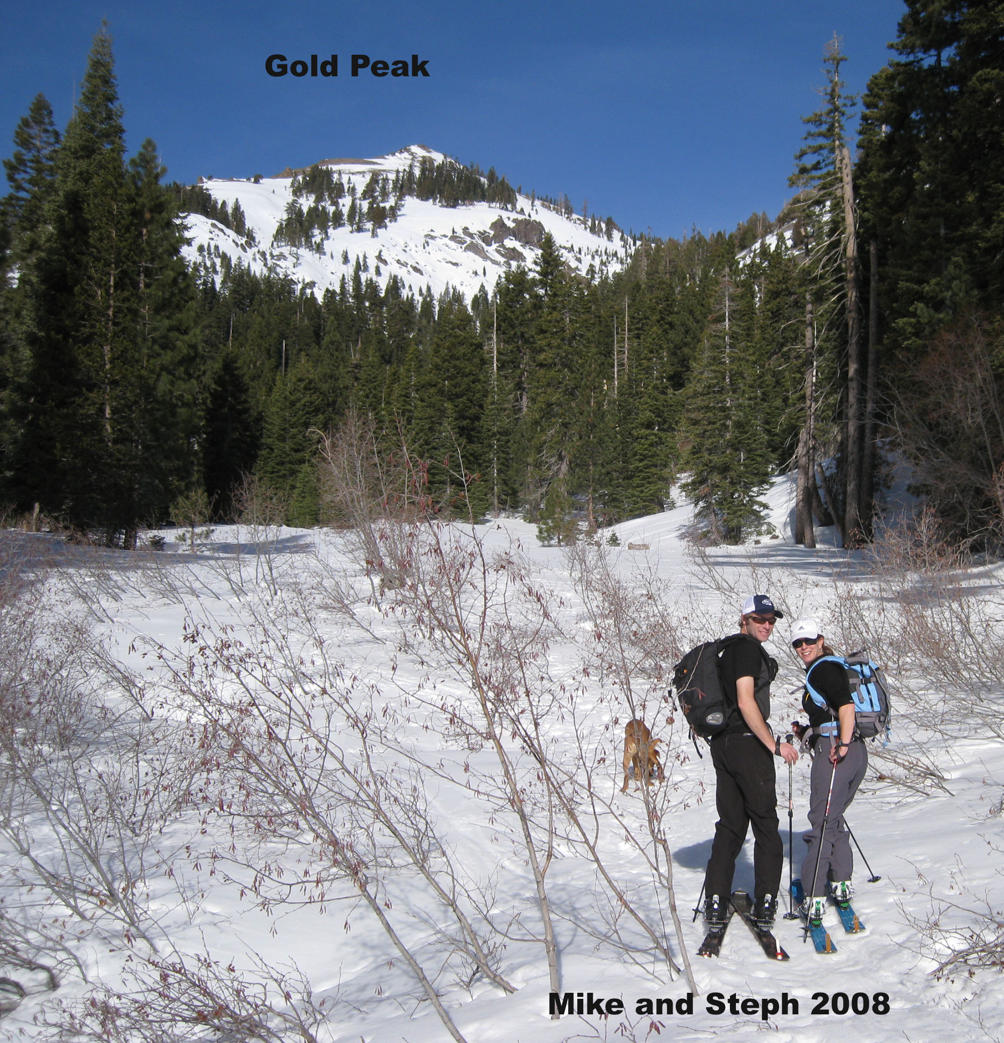
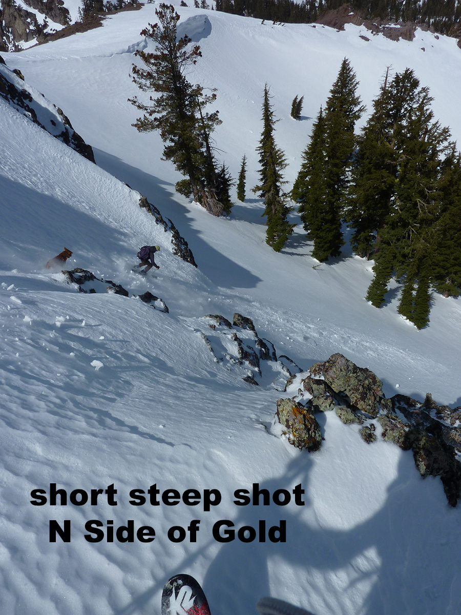
East Face of Gold Peak
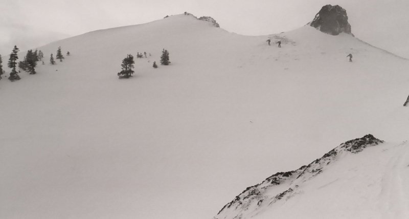
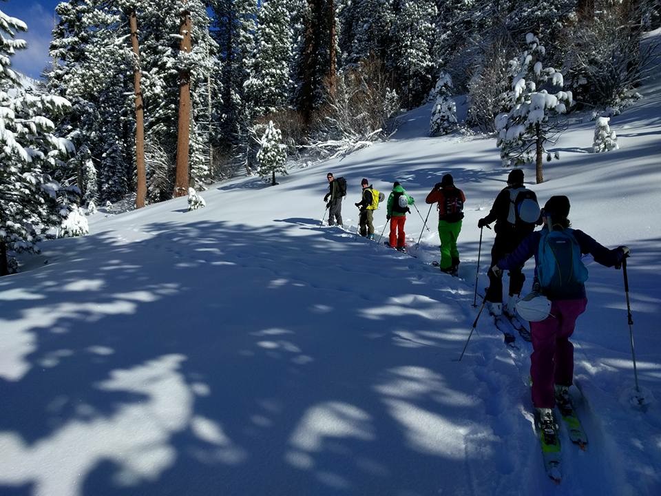
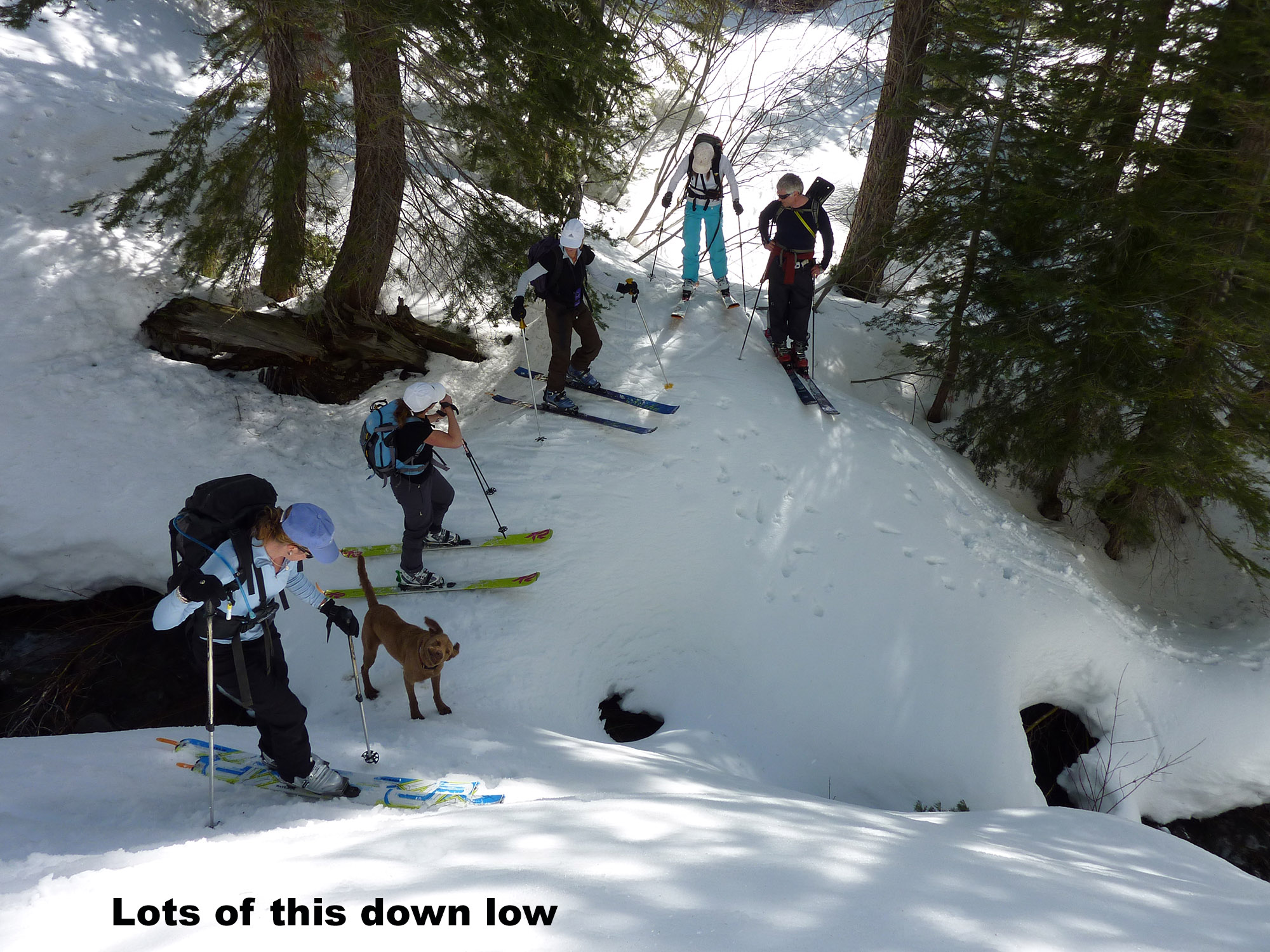
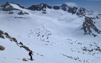
small group go fast
looking down Silver west slope
East face of Gold
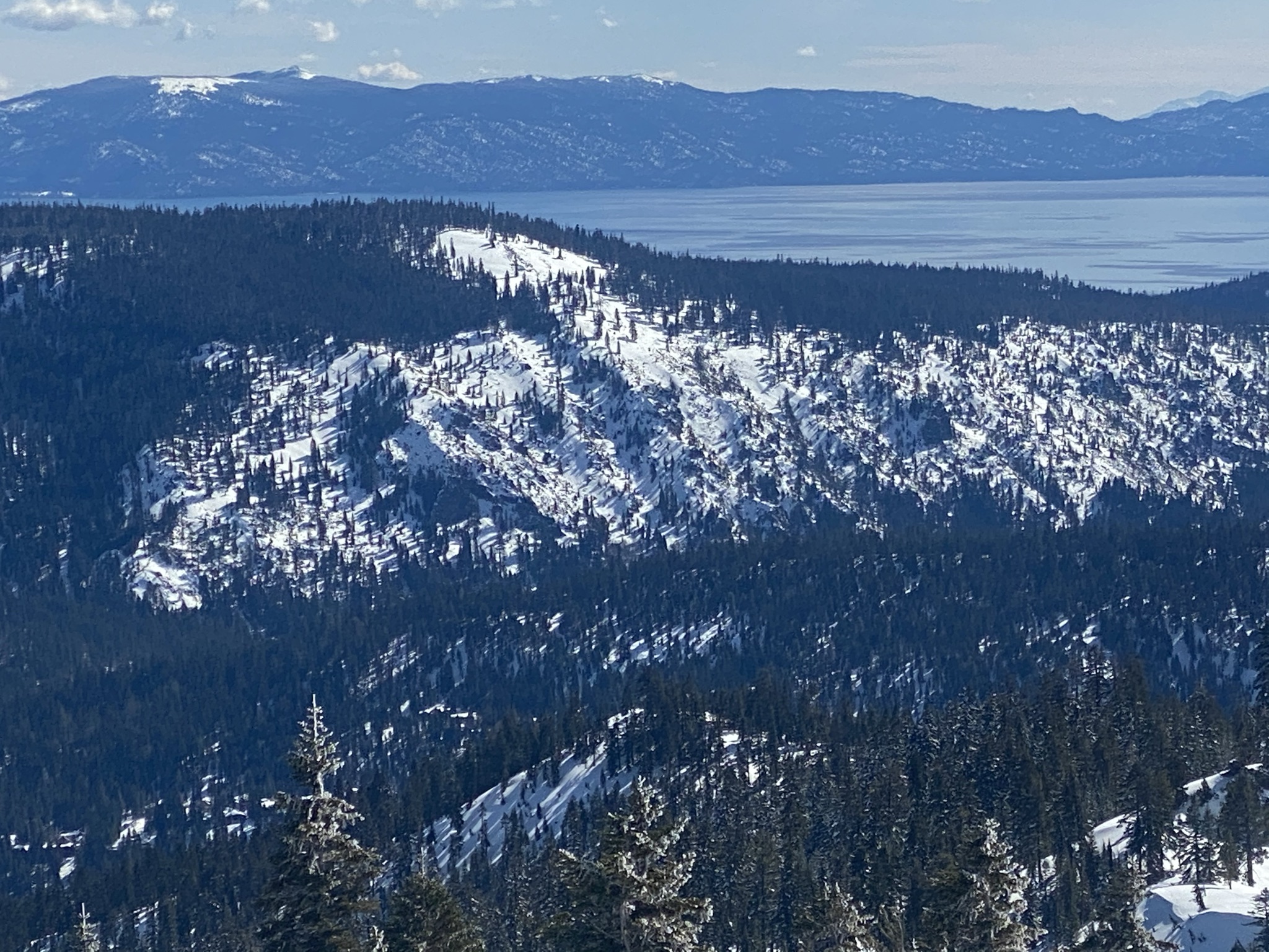
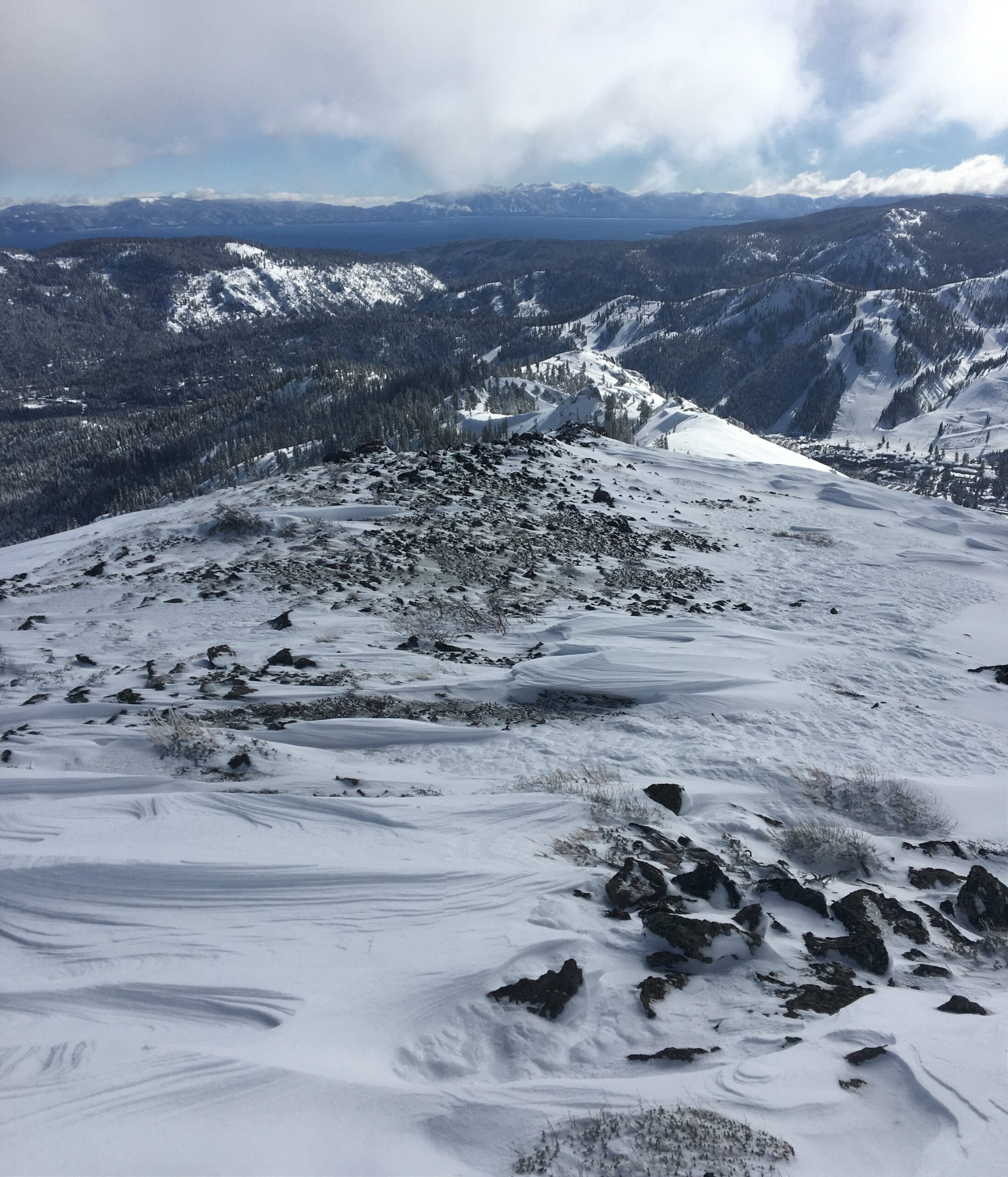
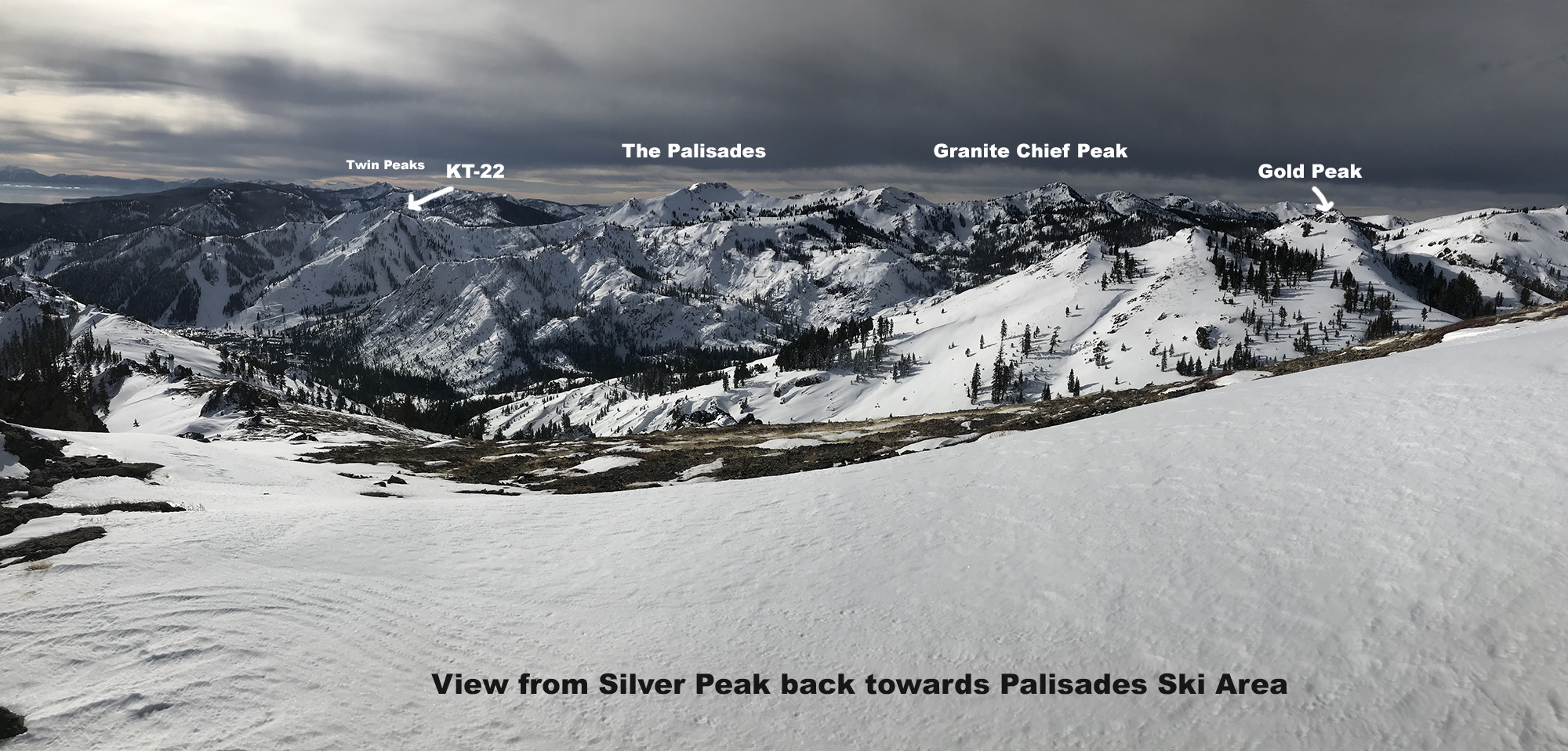
Tahoe zoom
Silver Peak gets wind scour

View of Pacific Crest from Gold
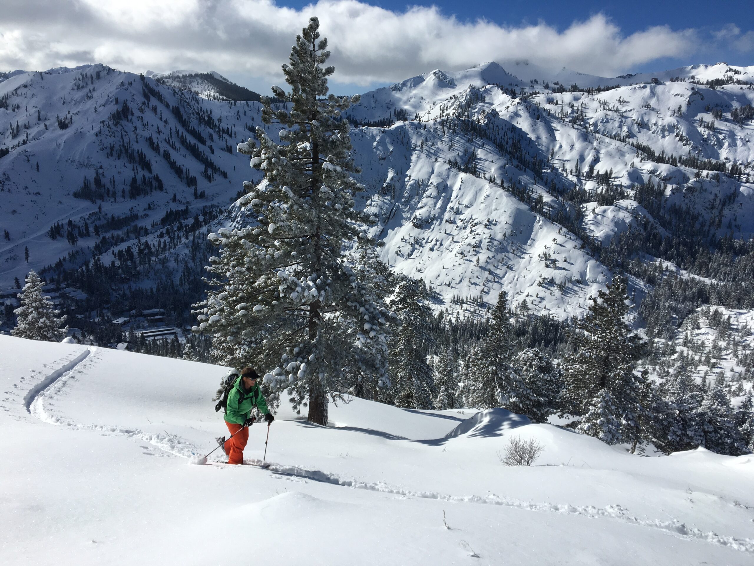
Marty from Kamloops
Marty on SW Slope of Silver
Our Sister Shop
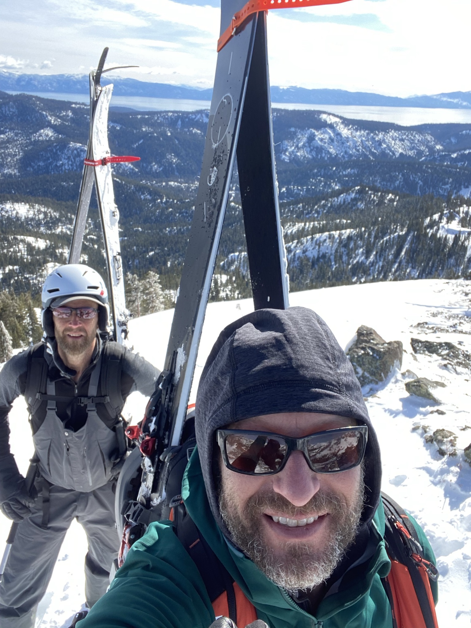
Gold Peak behind Mike
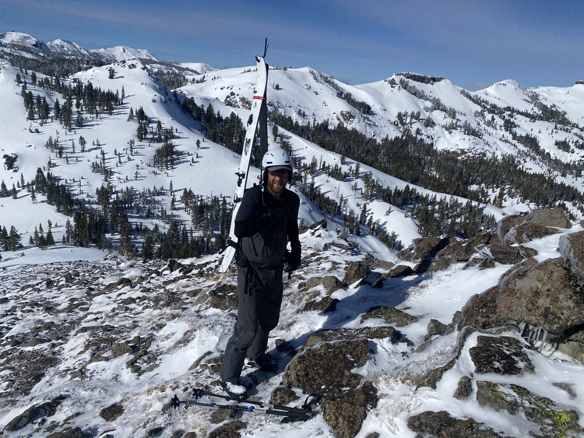
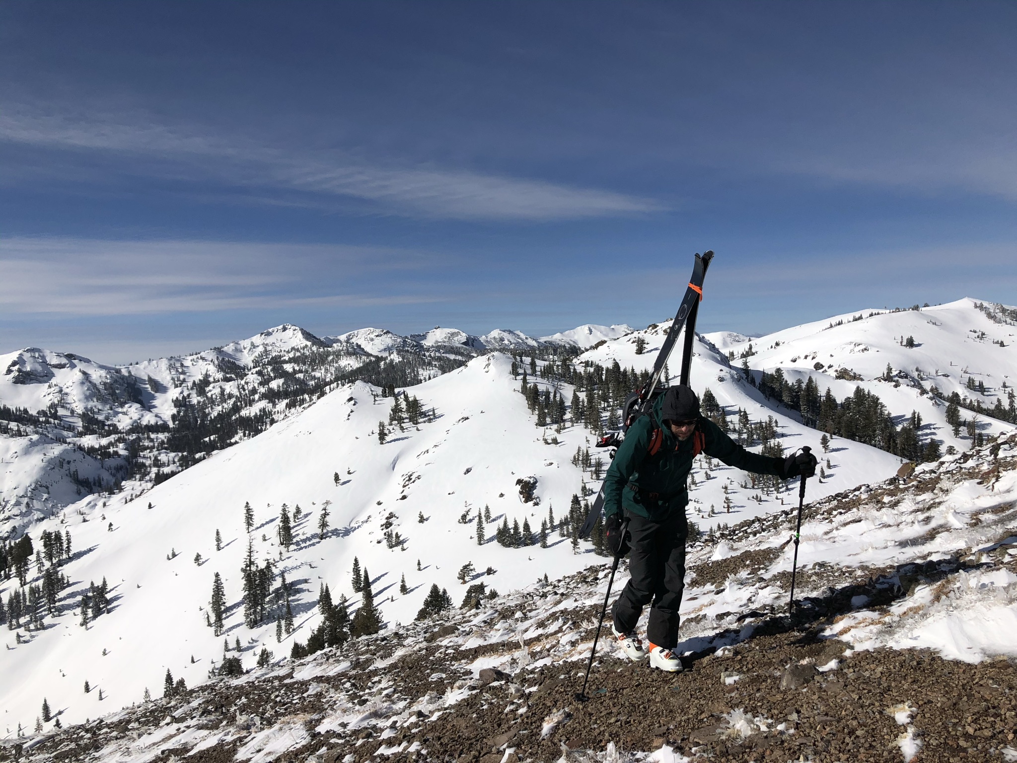
Mike Skinning Silver
Our Palisades Shop
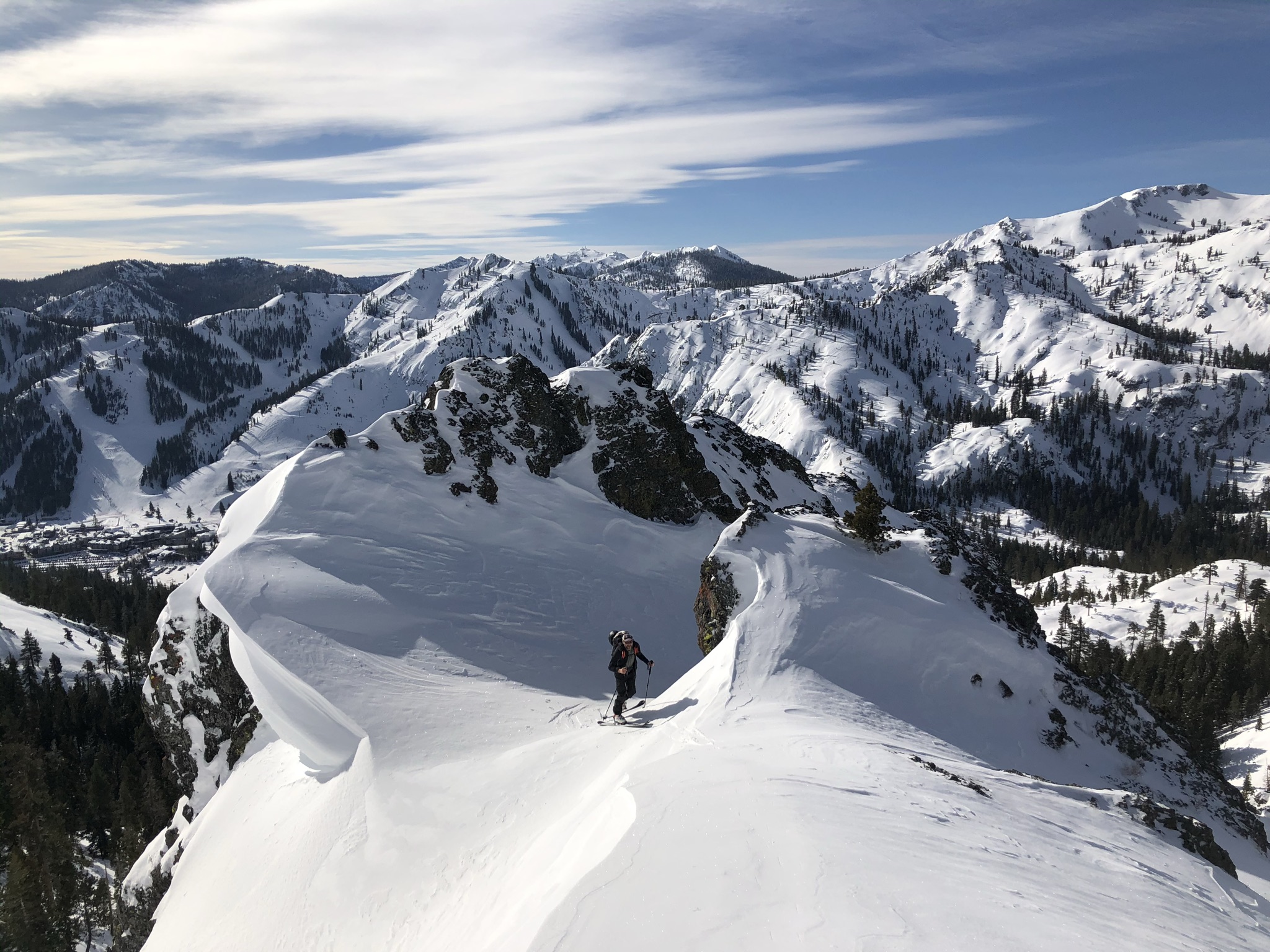
Squaw Staff on Silver
bring rock skis
quiet side of valley
Palisades Shop staff
entering the goal post


fforest
Location: Sierra Crest – Squaw Valley, CA
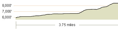
Duration: 2.5 – 4 hours from Hwy 89
Elevation Change: 2,328′ – from 6,020′ to 8,348′
Recommended Map:
Elevation Profile:
Map of General Route:
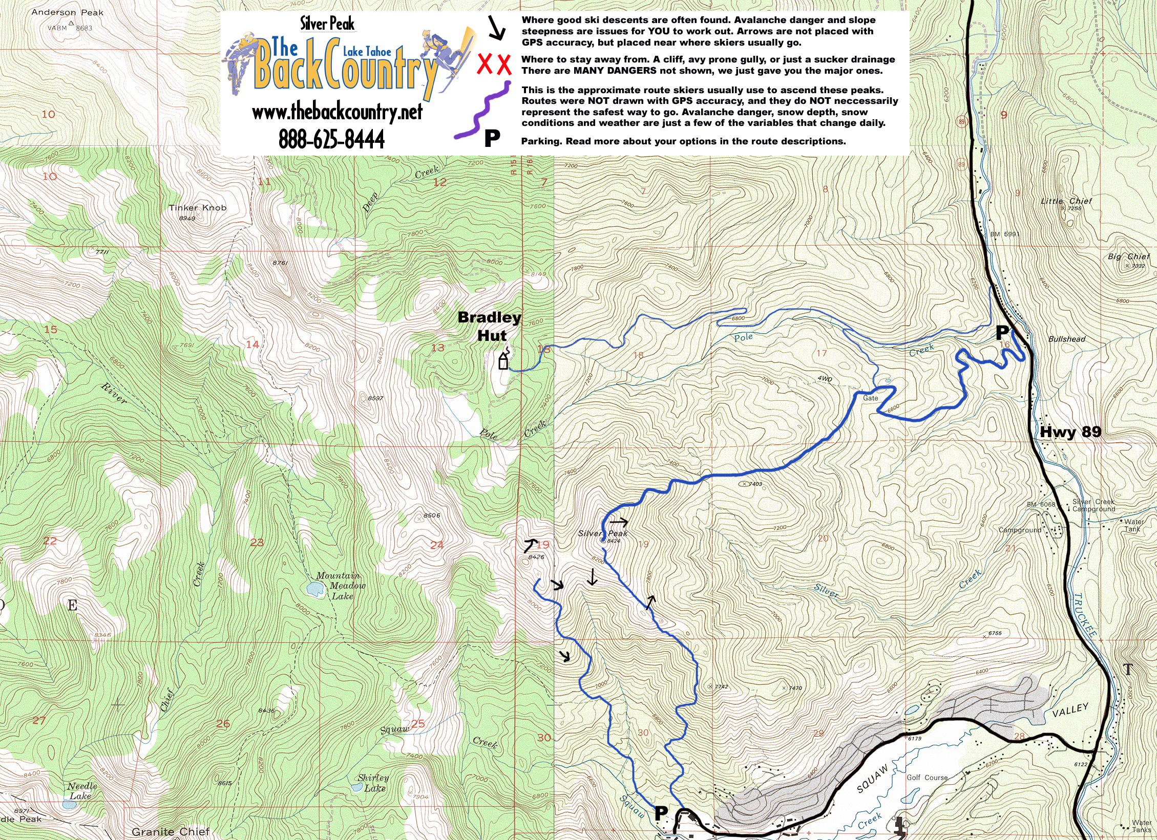
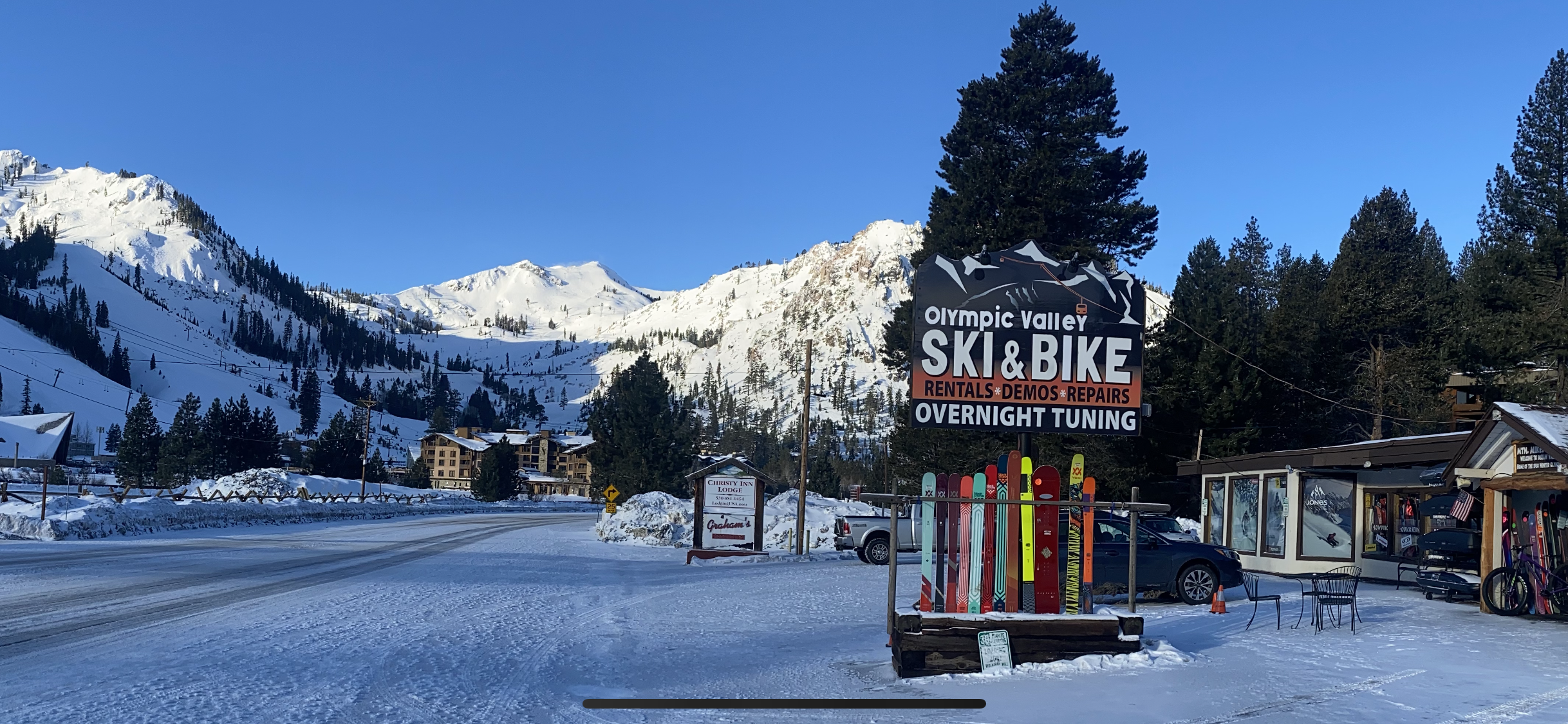
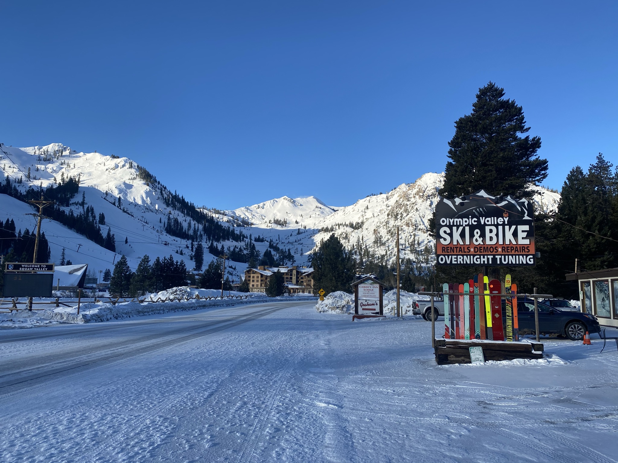
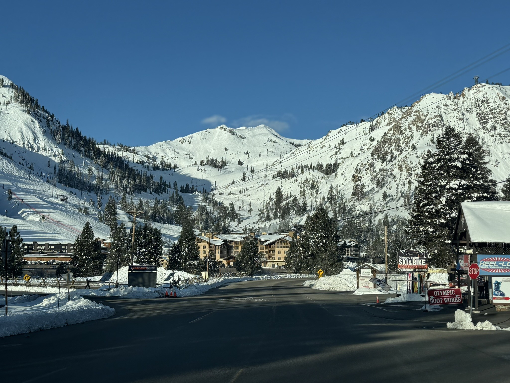
Visible from the Squaw Valley parking lot, and also near the 7-11 on Highway 89, this hidden backcountry treasure has been skied by locals for decades. You’re often the only people on the upper half of the mountain, while hordes of Squaw and Alpine Meadows skiers have no clue what you’re up to right next door. This long, mellow ski tour usually starts from Highway 89, two miles north of Squaw Valley Road. After an hour of low-angle snow-covered road, you’ll begin a moderate 1,500’ climb to a beautiful east-facing bowl. The top small round summit gives you a real “king of the mountain” feel. It’s a long way to go honestly from hwy 89. I almost always go up from Squaw Valley, on the north side of the Olympic Village Inn. The terrain is steep and complex, and finding a good route is not for beginners if the local track isn’t in. If you parked in Squaw, You’ll have to come back up most of the vert after dropping the 1000′ east bowl, but it goes easy. Go with a guide from Alpenglowexpeditions.com. Their office is right in the village at Squaw (now called Palisades). Logan and Adrian are IFMGA and just incredible people. Ask for my friend Tim to guide you, also IFMGA. Learn from the pros since they are right there, why not?
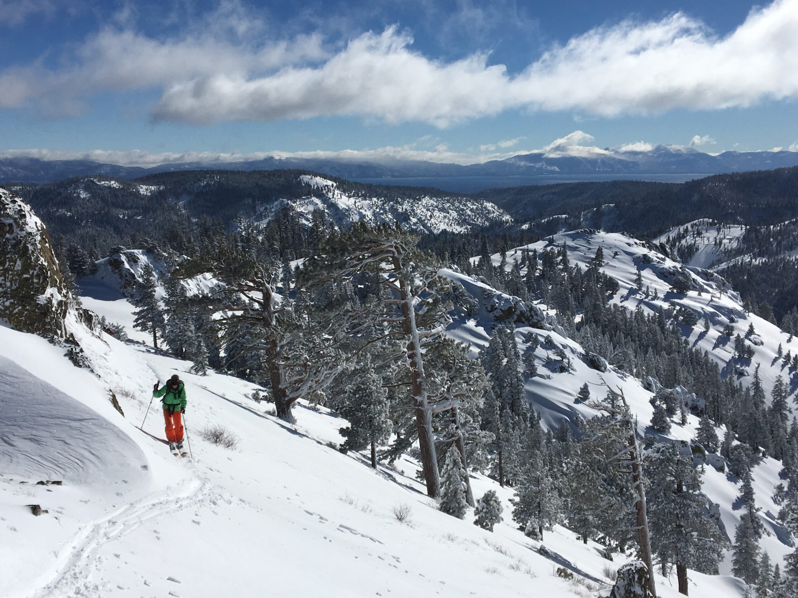
I’ve heard the lower and more obvious peak you see from the Squaw Valley Chairlifts to be called Gold Peak. This has some nice south facing corn to ski and can be joined with an east bowl descent on neighboring silver Peak. I almost prefer skiing this one to bang out a nice hike as it’s more direct and a “summit” feeling for sure. then I can hop over to Silver Peak.
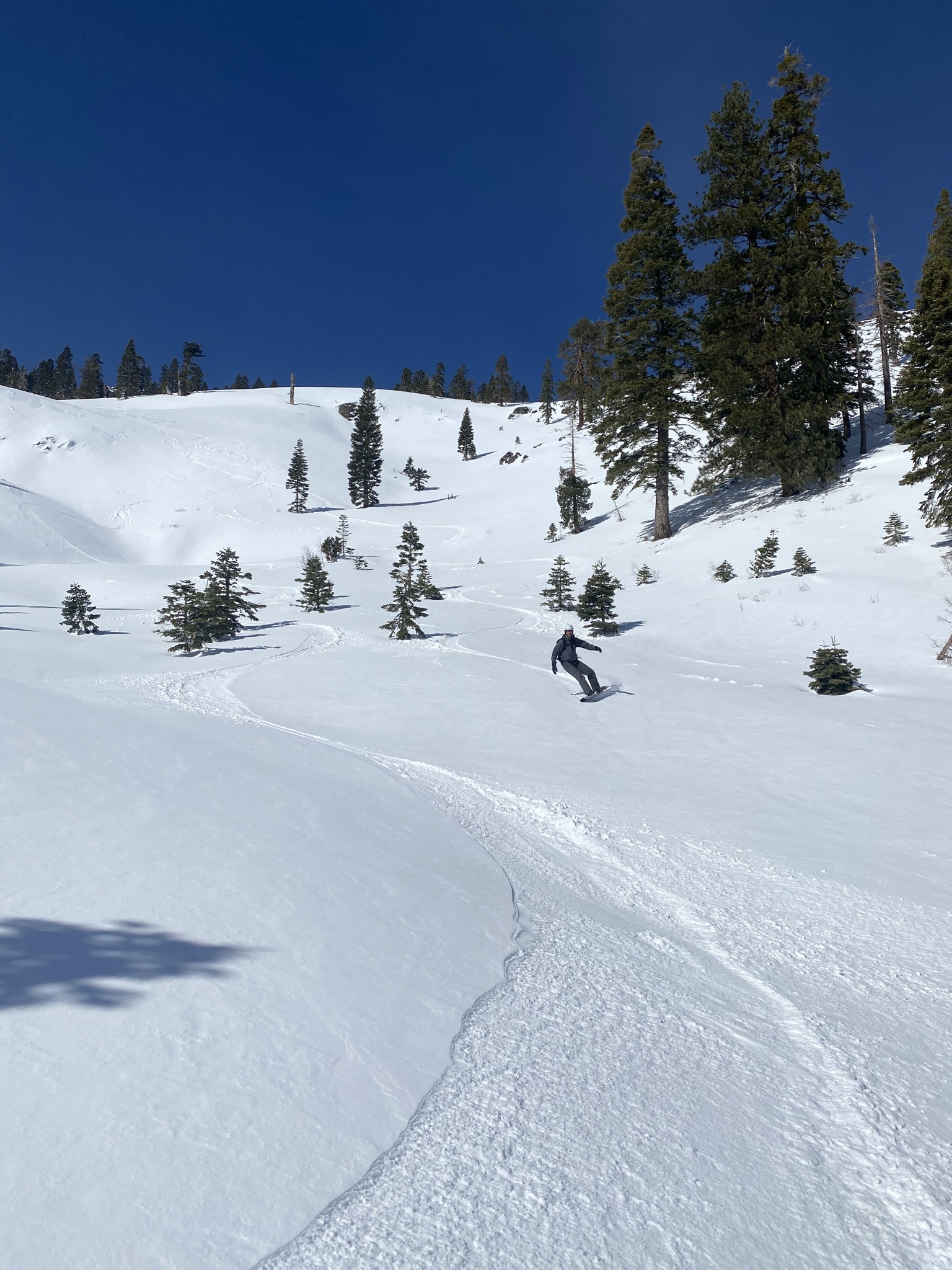
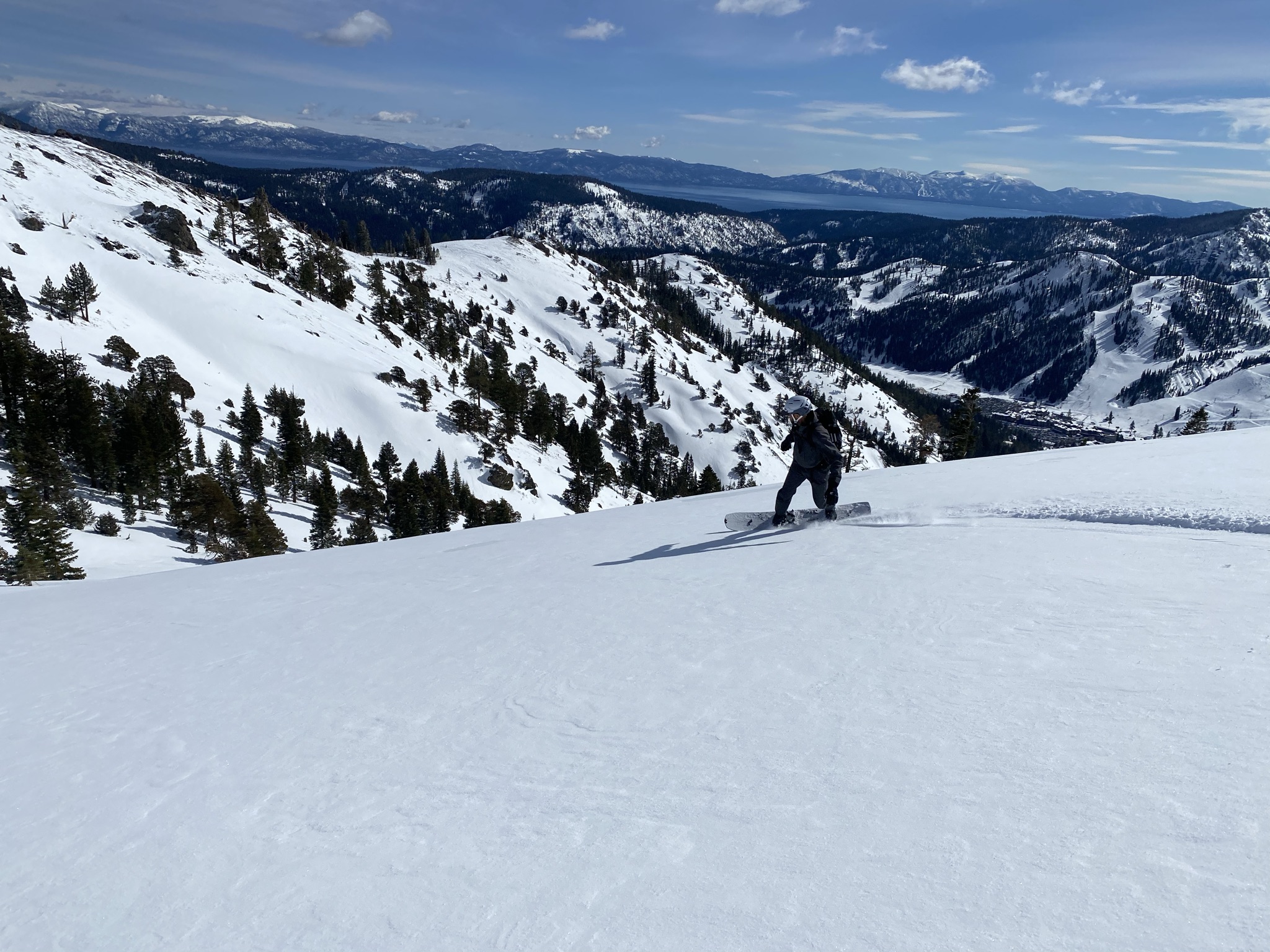
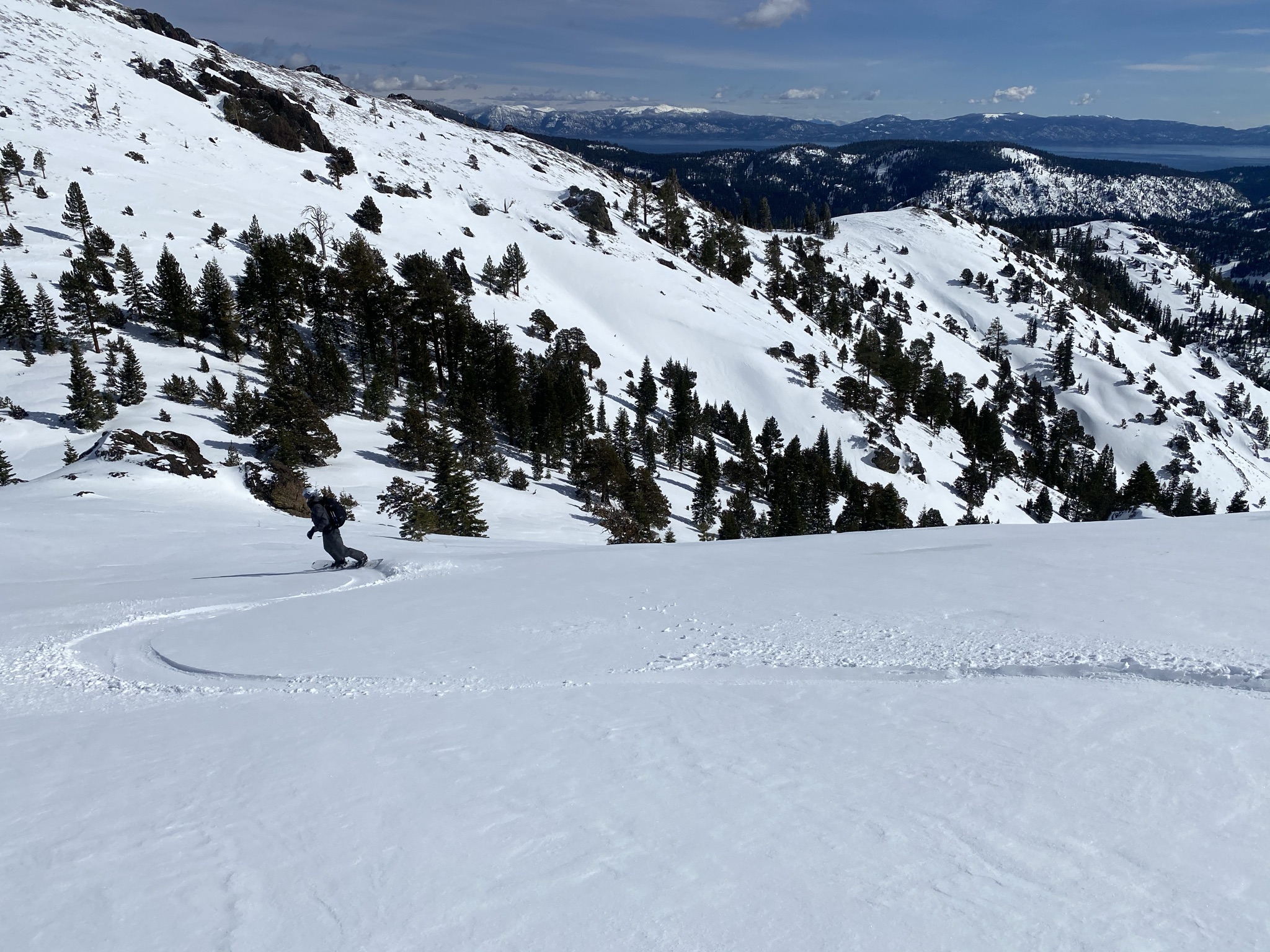
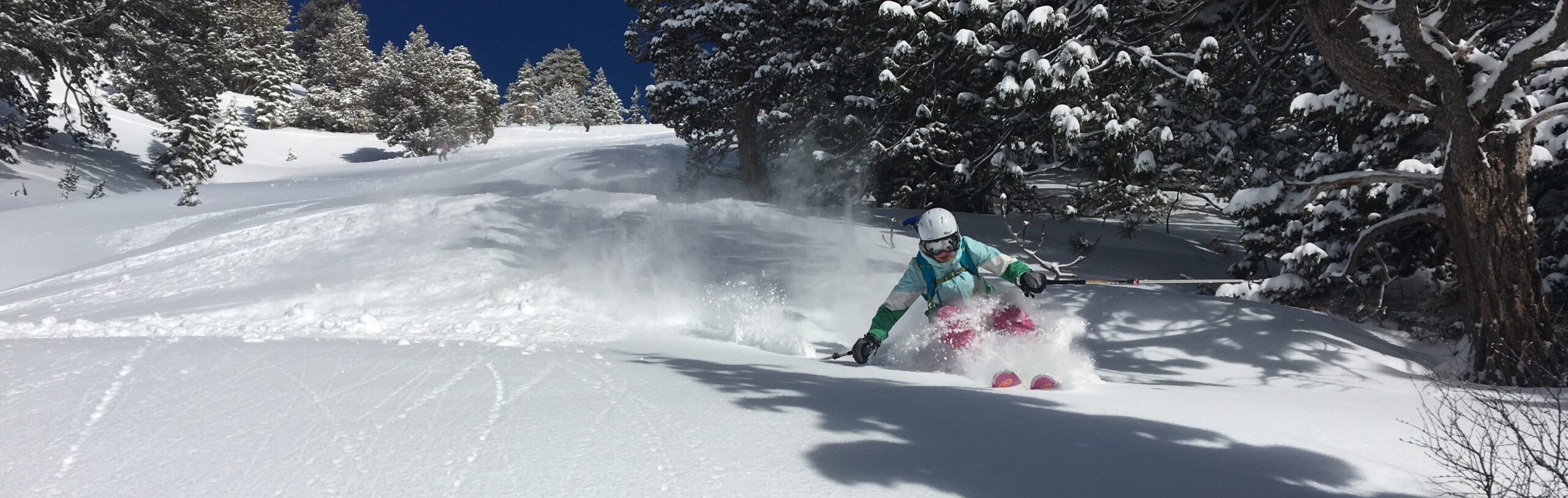
If you want to avoid the funky south facing descent to your car you can car shuttle over to 89 and drop below the Silver Peak East bowl at the end of your day. Just follow the snow-covered forest service road below the bowl to hwy 89. You only drive about 5 miles to do this. But wide rockered and shorter sidecut skis will really help you survive the return afternoon crust or slop on the south side of the peak. These survival descents put hair on your chest and build some skills you need to be a backcountry skier. It’s going to happen again on bigger mountains. I just go try to enjoy it since it’s low angle and only about 1500′ of crapola snow most of the time on the lower south slopes of silver and gold. I guess you MIGHT find good snow conditions from top to bottom, but don’t count on it.

Looking for awesome ski and splitboard tours in the Sierras? We’ve got write ups on many common and uncommon tours curated by the owner of the BackCountry, Mike Schwartz.


Love the redesign, and as someone who just moved to the area I’m hugely appreciative of the resource you’ve created here — thanks! Not intending this as a public comment so I’m hoping you can just delete it once you’re read it — wanted to let you know that the page is bumping a bit. Not sure what the technical term would be, but it’s shifting vertically every few seconds. (I’m on a Mac and using Chrome, if that’s helpful.) Just letting you know. Thanks again, this is an awesome help to me as I get the lay of the land here.
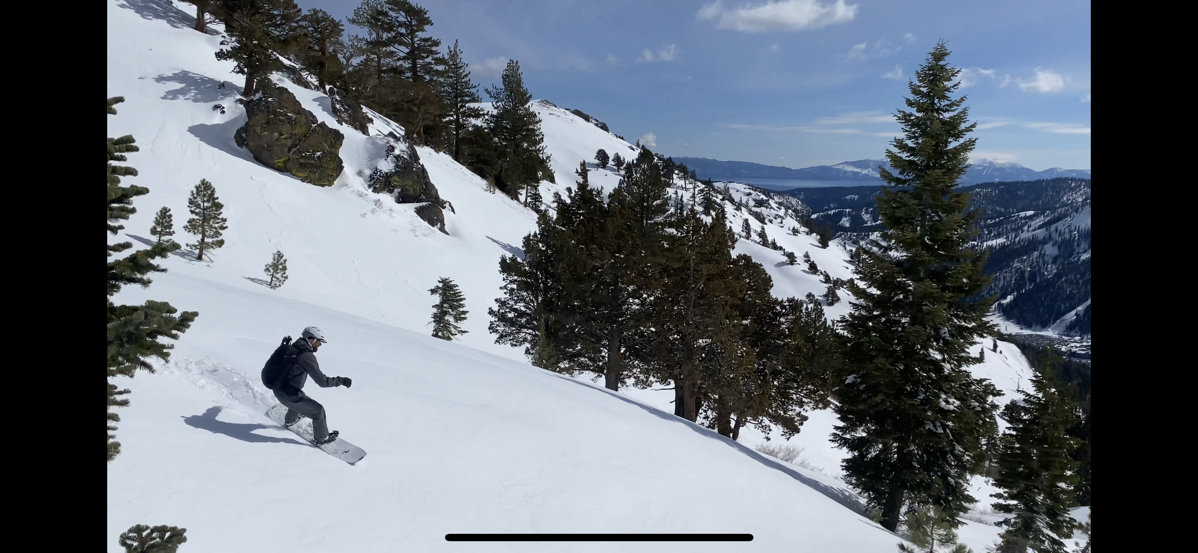
These pics are from Jan 11, 2019. Tahoe got a late start as usual with snowfall this year, but it got good quick right before Christmas. Skiing Silver Peak from the squaw side is not even possible in some years, and it was a few feet deep at the car on this south facing low elevation start. Jeez, now as I sit here 2 months later, we have received about 400″ more snow since then!!!!!!
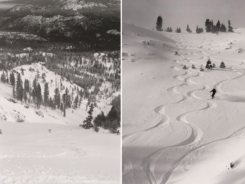
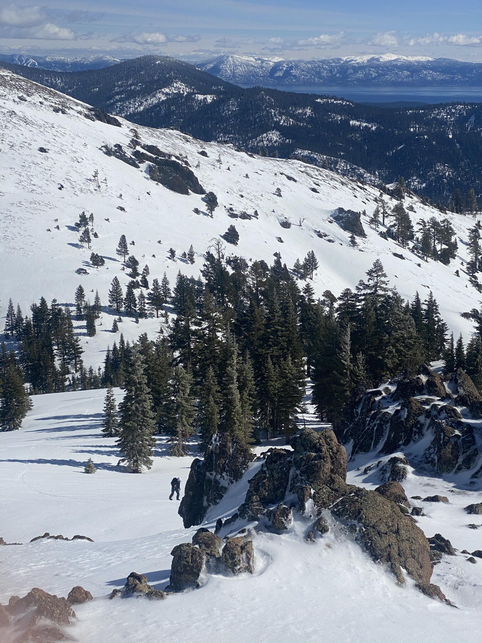
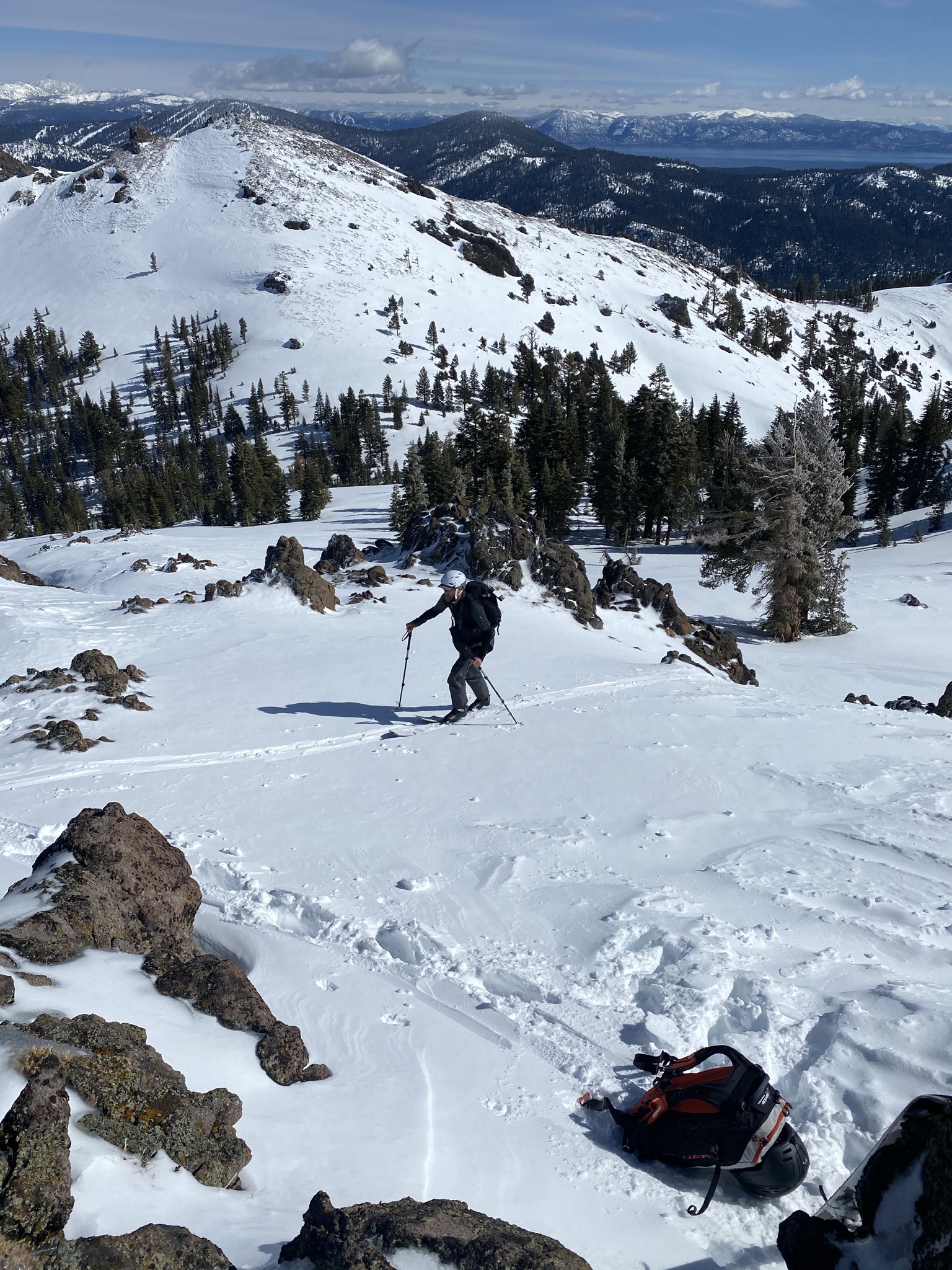
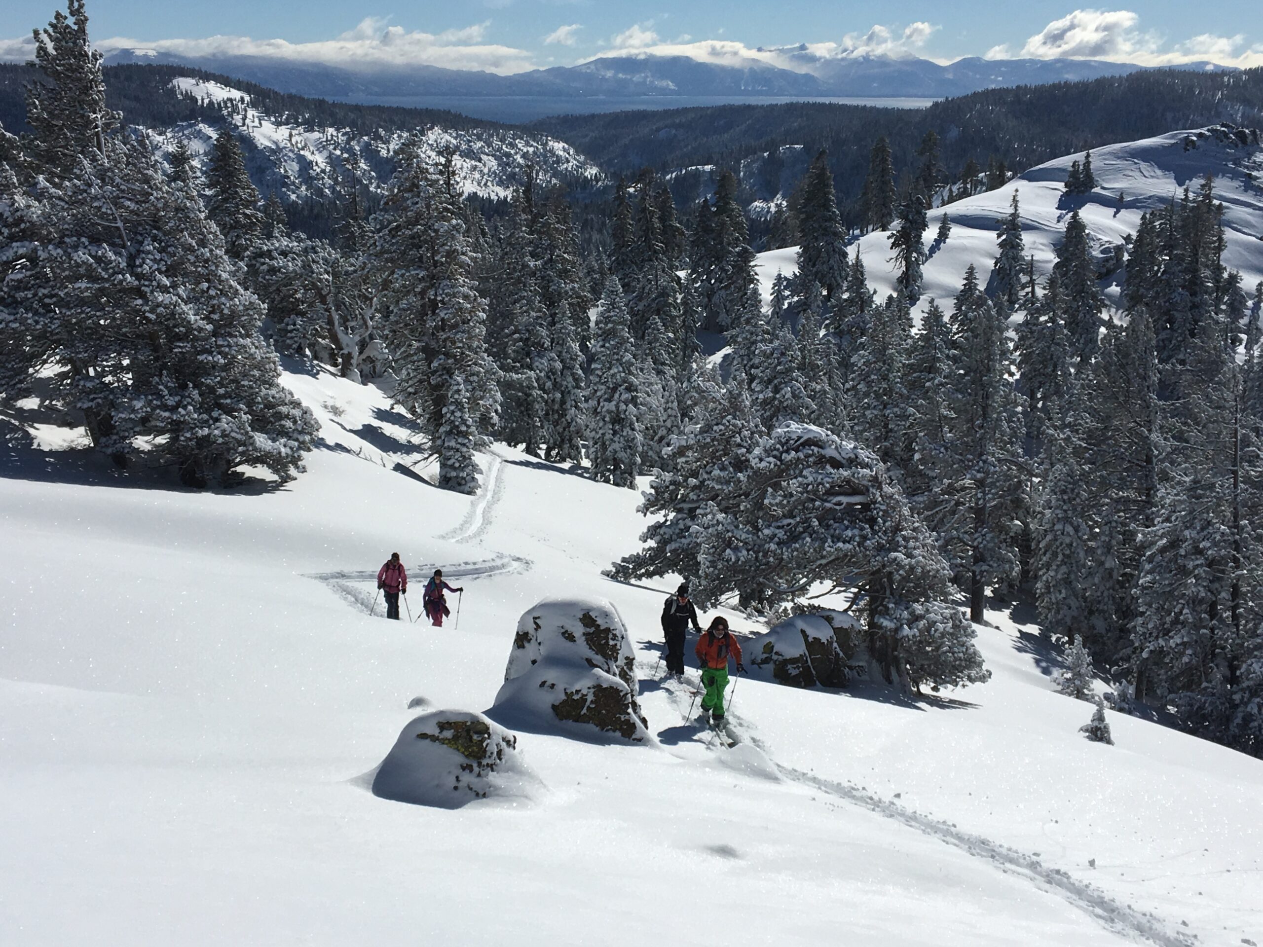
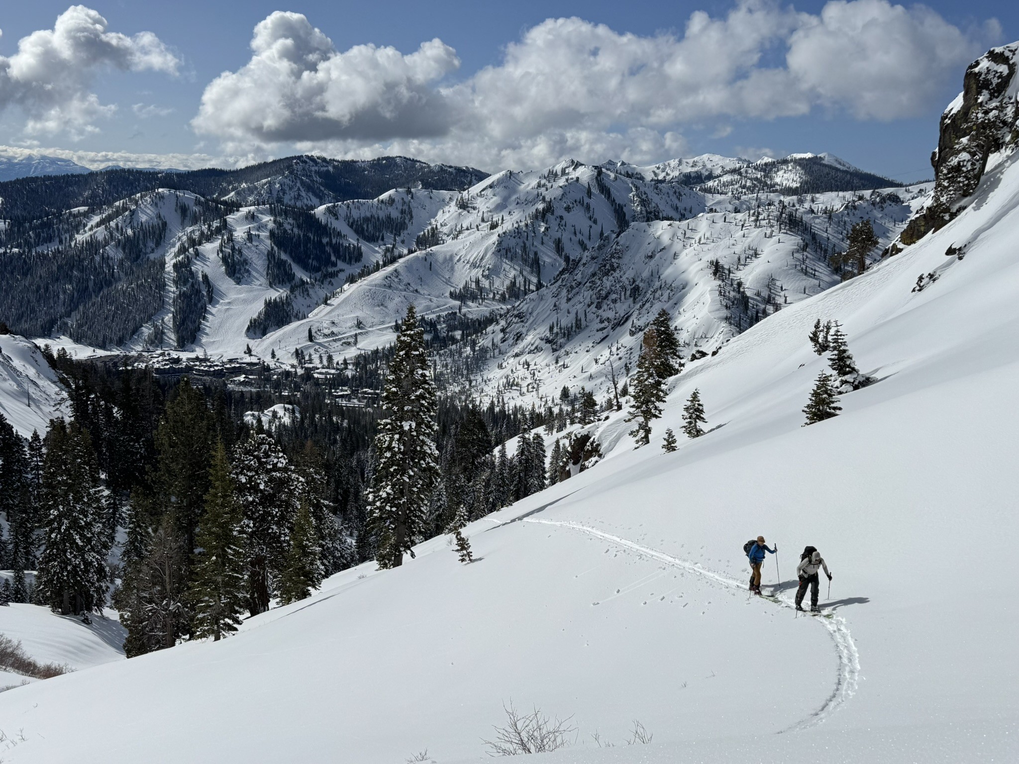
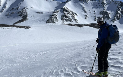
Conditions were familiar. You know your going to ski soft winter snow in the East Bowl, but you scratch up steep crusty south facing slopes to get there. And on return, you might end up skiing steep crusty SW slopes that would send a lost ski flying right into the sketchy creek between Silver and Gold Peak. Play with the slope angles on the way back and you’ll find some good snow, but it’s usually too manky near the car being so low and south facing. Of course there is plenty of perfect corn to be found all over the place if you time it right. Climbing or skinning up Silver Peak from Squaw requires a bit of sniffing out a good route. You can’t miss the peak, but you can certainly bump into some rocky obstacles and steep spots that will have you popping out of your skis to walk a bit. You don’t see the peak for 90% of your journey. If you end up on a different sub peak, no big deal….you’re going to ski them all eventually anyway right?
Alpenglow Expeditions is an amazing ski and mountain guide service that operates out of a Squaw Valley Village office. These guys are long time locals and AMGA certified. They have the permit to guide you in this area. They also miraculously convinced the Squaw Ski Corporation to allow backcountry ski guiding from the far West Boundary of Squaw Valley Ski Area. Now you can take the lifts to Granite Chief and keep on going with a guide, getting up high without much skinning. If you ski Squaw a lot and want to get into ski touring, go meet Logan and Tim from Alpenglow Expeditions in addition to coming into our shop to find me for trip planning and help with your ski touring technique. Go out to National Geographic Bowl with the guides, then have them take you into the complex terrain below Silver Peak, and you pretty much set to venture out on your own after that.
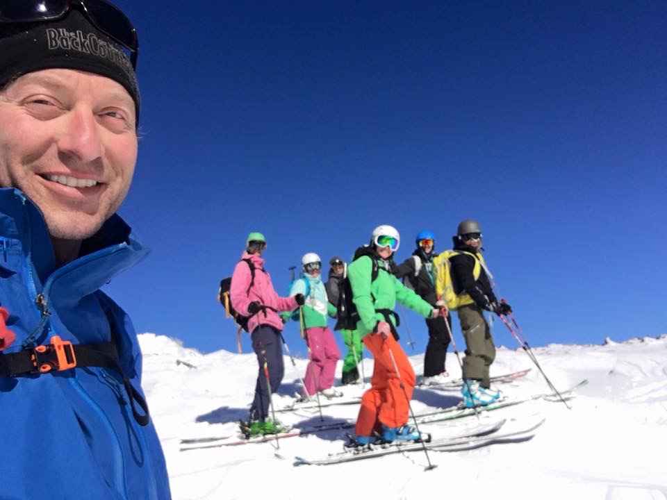
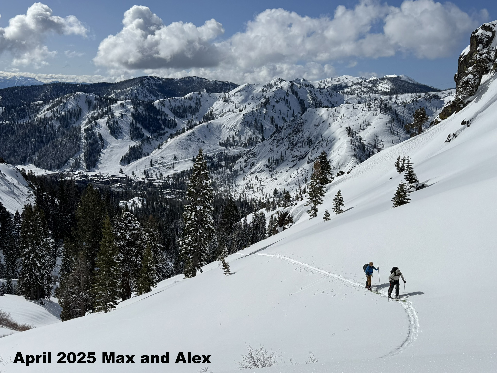
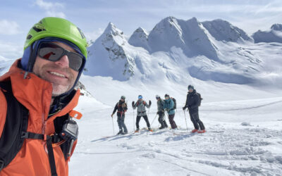
This is the way I usually ski the Silver / Gold Peak area. I take some friends who grew up in OV or skied there their whole lives. This was the first ski tour for Cindy and Julia in their new gear. We used the ski crampons pretty much at the start and then near the top of Gold and skied nice corn back. In January when the resort was frozen moguls.